 vijeet
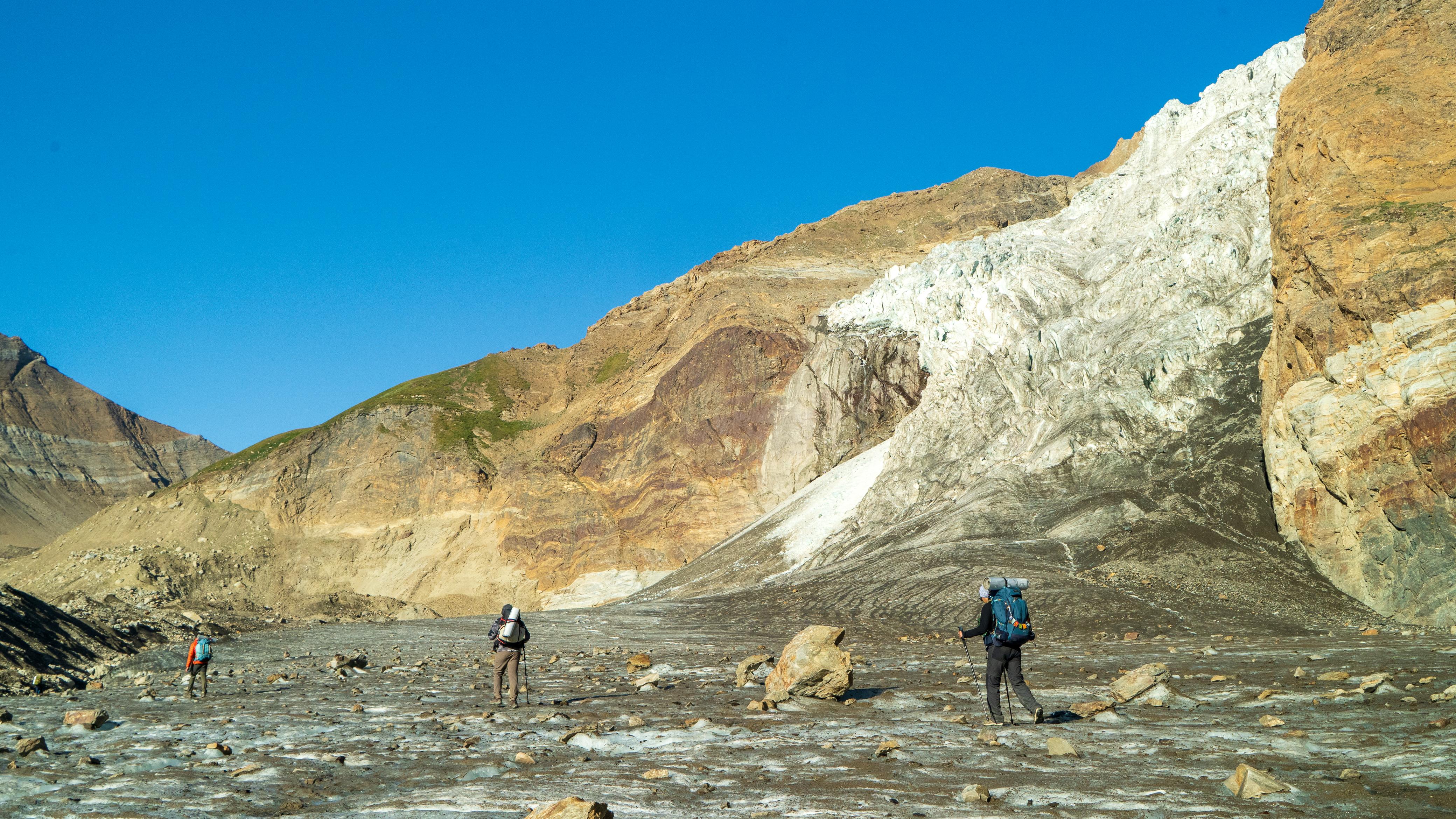
Most of us who go to the mountains every year are carrying this question around. For a lot of people, trekking is a modern form of pilgrimage, and nobody likes doubting the place they go to for peace.
So here is my answer. The Himalayas aren’t becoming unsafe. They’re becoming less forgiving. The margin for a lazy plan is gone.
The mountains are changing for reasons we already know, and the change is now visible in the field. Some of it is the climate. Some of it is us.

The season has moved
In 2017, we stopped trekking above 14,000 ft in Kashmir, Leh and Himachal in the last week of September. The first snowfall usually came in the first week of October. In the last couple of years, that cutoff has slid to the third week of October.
That sounds like good news: more days to trek. It isn’t. The monsoon now drags on, with patchy rain into late September. September used to be the clear, cold, dependable month. Now it’s a gamble. The safe window hasn’t grown. It has slid later, and the old calendar no longer tells you when it’s safe to go.
This isn’t a dataset. It’s what I remember from years in the field. But the official record points the same way. The IMD moved the normal date for the monsoon to begin withdrawing from northwest India from 1 September to 17 September, after decades of observations showed it kept retreating late. In 2023, the withdrawal was late for the 13th year in a row. Every guide I know says the same thing I do.
We have already seen what that shift can cost. On 4 October 2022, an avalanche near the summit of Draupadi ka Danda II killed 29 people from the Nehru Institute of Mountaineering (Outside). It is one of the country’s most experienced mountaineering institutes, on a peak it had been using for training since 1981. Officials pointed to fresh snow on the approach (Climbing), and scientists asked whether an unusually wet September had loaded the slopes. A year later, in October 2023, a glacial lake burst above Sikkim’s Teesta Valley and sent a flood down it. October used to be the month you stopped worrying.
Why the rain is falling harder
The monsoon has always been violent in the mountains. Kedarnath in 2013 was not a new kind of event. What has changed is how heavy the heaviest rain gets.
A cloudburst, by IMD’s definition, is 100 mm of rain in an hour over roughly 20 to 30 square kilometres. Three things make one:
- Moisture. Warmer air holds about 7% more water vapour for every degree of warming. Warmer seas add more through evaporation. Some studies find short bursts of rain intensifying even faster than that.
- Lift. Monsoon air from the Bay of Bengal and the Arabian Sea hits a wall of mountains, rises quickly, cools, and dumps its water on one valley.
- A trigger. A western disturbance colliding with monsoon air can set it off.
The Himalaya is warming faster than the global average, so the first ingredient keeps growing. I’d like to say cloudbursts are increasing exponentially, but I can’t back that up. Rain gauges in remote valleys are few, and some flash floods get called cloudbursts without the rainfall to justify it. What I can say is this: heavy rain is getting heavier.

Snow that doesn’t settle
Avalanches follow the same logic. Western disturbances used to bring snow to high regions around November. Layer after layer built up over winter, and the base compacted into something stable.
Lately, more of the winter snow arrives in February and March. It falls on a thin base, then meets warm sun. The snow gets wet, loses its grip, and slides. A University of Geneva study that used tree rings to reconstruct 150 years of avalanches in Himachal Pradesh found more wet-snow avalanches, matching warmer late winters and early springs (Ballesteros-Cánovas et al., PNAS, 2018). Wet snow also tends to run out further, so a slide reaches places a dry one wouldn’t.
The bigger problem might be with us
The rain is getting heavier. But the damage is climbing faster than the rain, and that part is on us.
A flood that ran down an empty valley twenty years ago now runs through roads, hotels, homestays and campsites built along the river. More trekkers walk the same trails in the same few weeks. The same storm now finds far more people in its path.
We can’t control the climate. We can control where we pitch our tents, which valley we pick in which week, how many people we put on a trail, and when we say no. Most of the risk that’s growing in the Himalayas is the risk we are choosing to stand in.
What we do about it
The mountains as we know them are changing, and we have to change with them. That doesn’t mean staying home. It means treating no trek as a given, and reading the season before you read the itinerary.
At Odyssey, this has already changed how we run trips. We stay out of valleys we can’t predict. We do not operate in the valleys of Himachal Pradesh’s Kullu district. The weather there is too unpredictable for us to promise anyone a safe plan, so we don’t make the promise.
Knowledge, tools and quick decisions
Staying out of the wrong valley is the easy part. The harder part is running a trek well in a mountain that keeps changing. That takes four things, and they work together.
Use the record, not just memory. I said earlier that my sense of the shifting season isn’t a dataset. It should be. Every operator, guide and institute sits on years of trip history: when the snow came, how deep it was, how much it rained, which campsite flooded, which day we turned back. Written down and compared year on year, that becomes the best planning tool a team has. Memory fades and gets flattering but records don't.
Carry the technology, and know it before you need it. Mobile networks disappear in most valleys. Satellite messengers with SOS, offline maps and GPS cover that gap. They don’t make a trek safe. What they do is shorten the time between something going wrong and the right people knowing about it. A device that hasn’t been tested, charged or explained to the team is just weight, so practise with it on pre-expedition drills.
Take forecasts more seriously than we used to, and set the rules in advance. Read the weather forecast and the avalanche bulletin every day (windy.com, meteoblue.in are reliable resources for people starting out), from more than one source, and decide beforehand what result changes the plan. Deciding after you’ve already walked up the valley is how people talk themselves into it.
Then check the forecast against what you can see. Forecasts for remote valleys are coarse. A guide who has walked the route for years reads things no model gives you: the colour and level of the river, the feel of the snow underfoot, the way clouds build by noon, how cold the night was. The best calls come from forecasts and experience together, and when they disagree, we take the more cautious one.
Knowledge only helps if it leads to action. The cost of turning back early is a lost day and a disappointed group. The cost of waiting is the kind of morning NIM had on Draupadi ka Danda II. In the Himalayas as they are now, learning to adapt means knowing the mountain, using every tool we have, and acting the moment the signs say so.
If you’re trekking with anyone, us included, ask these before you book:
- What is your cutoff date for this trek, and when did you last change it?
- Have you ever cancelled a trip because of the forecast?
- Where do you camp in relation to the river?
- Who on the team reads the forecasts and avalanche bulletins, and how often?
A good operator will have answers ready.
Adventure is a warning sign
The Arctic explorer Vilhjalmur Stefansson said, “Adventure is a sign of incompetence.” He meant that when a trip turns into an adventure, something has already gone wrong: a bad plan, a missed sign.
I think that should be our motto now. Go only where we can foresee, understand and prepare. Use every tool we have, from satellite weather and avalanche bulletins to local knowledge and good instructors.
And bring your curiosity. Ask why the snow is late, why the river is that colour, why the sky looks like that. A culture of safety starts with people who notice.
Don’t stop trekking. Keep asking why.