


The Parang La Trek is one of the few true trans-Himalayan journeys that still retains the character of an expedition rather than a trail. It connects the high desert valleys of Spiti in Himachal Pradesh with the Changthang plateau of Ladakh by crossing the formidable Parang La Pass.
Historically, this route served as a trade link between the Spitian villages and the nomadic Changpa communities who grazed livestock on the Tibetan plateau. Today, the trail remains remote and seldom travelled, offering trekkers a rare opportunity to walk through landscapes that feel untouched by modern infrastructure.
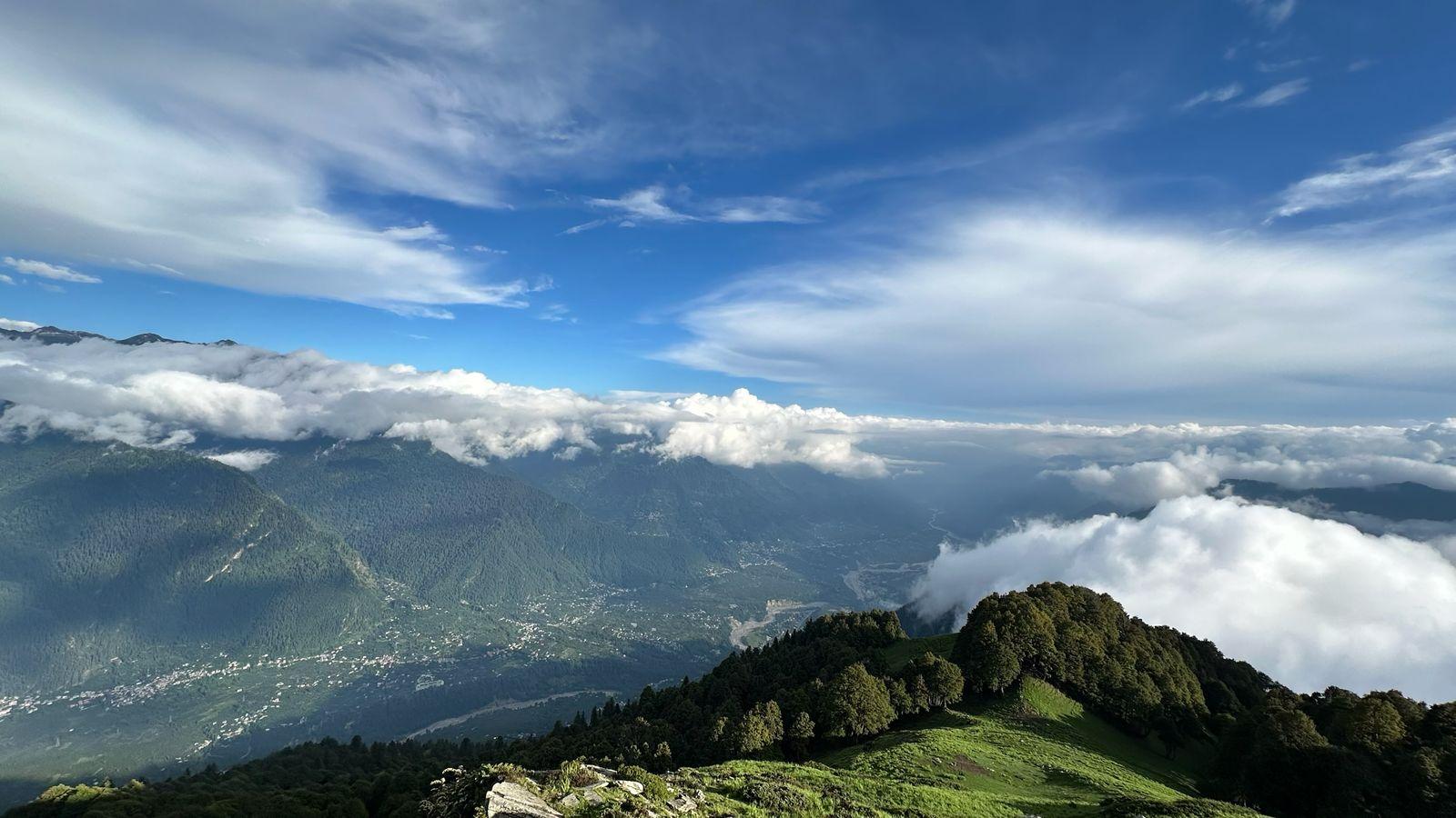
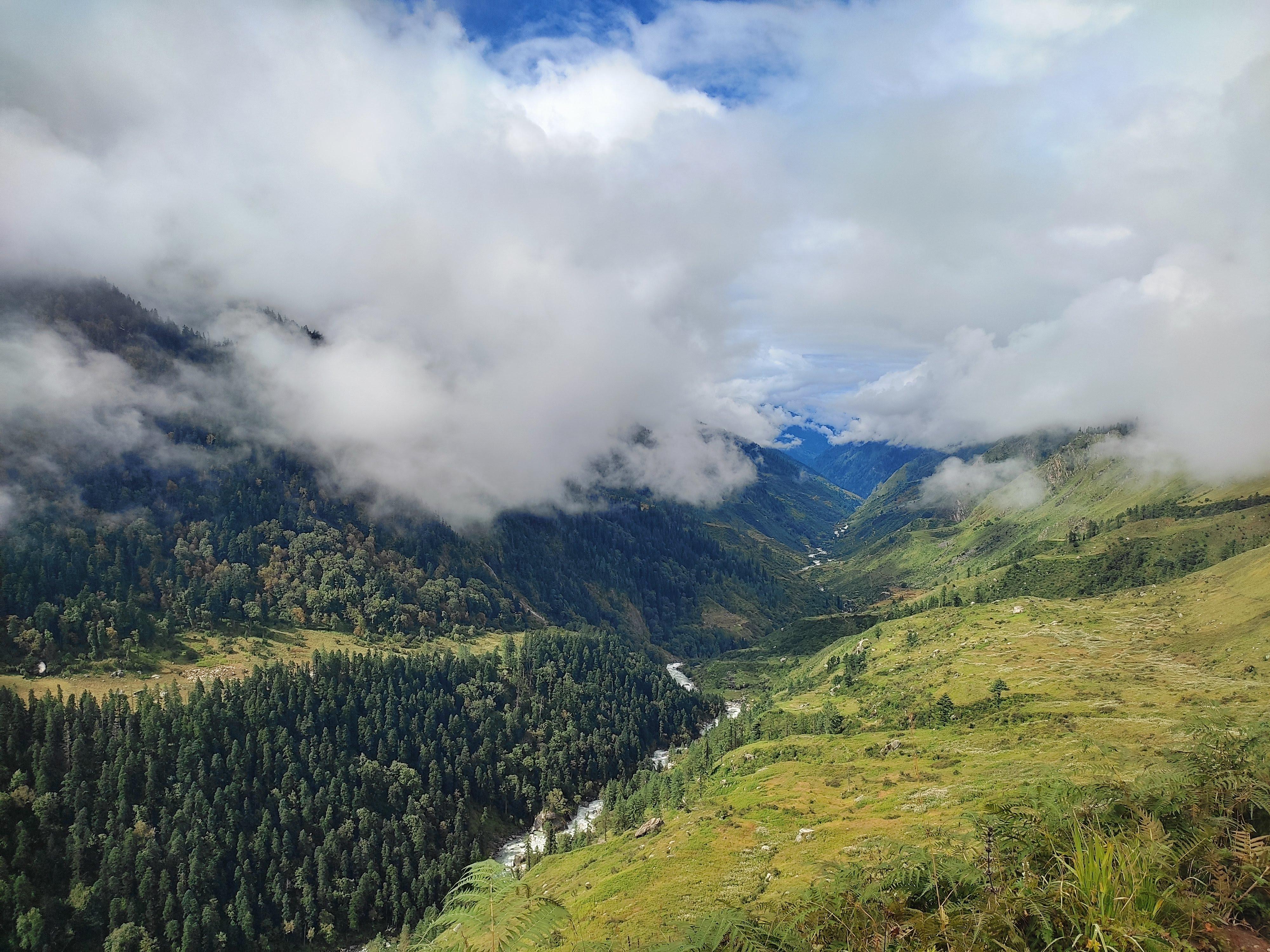
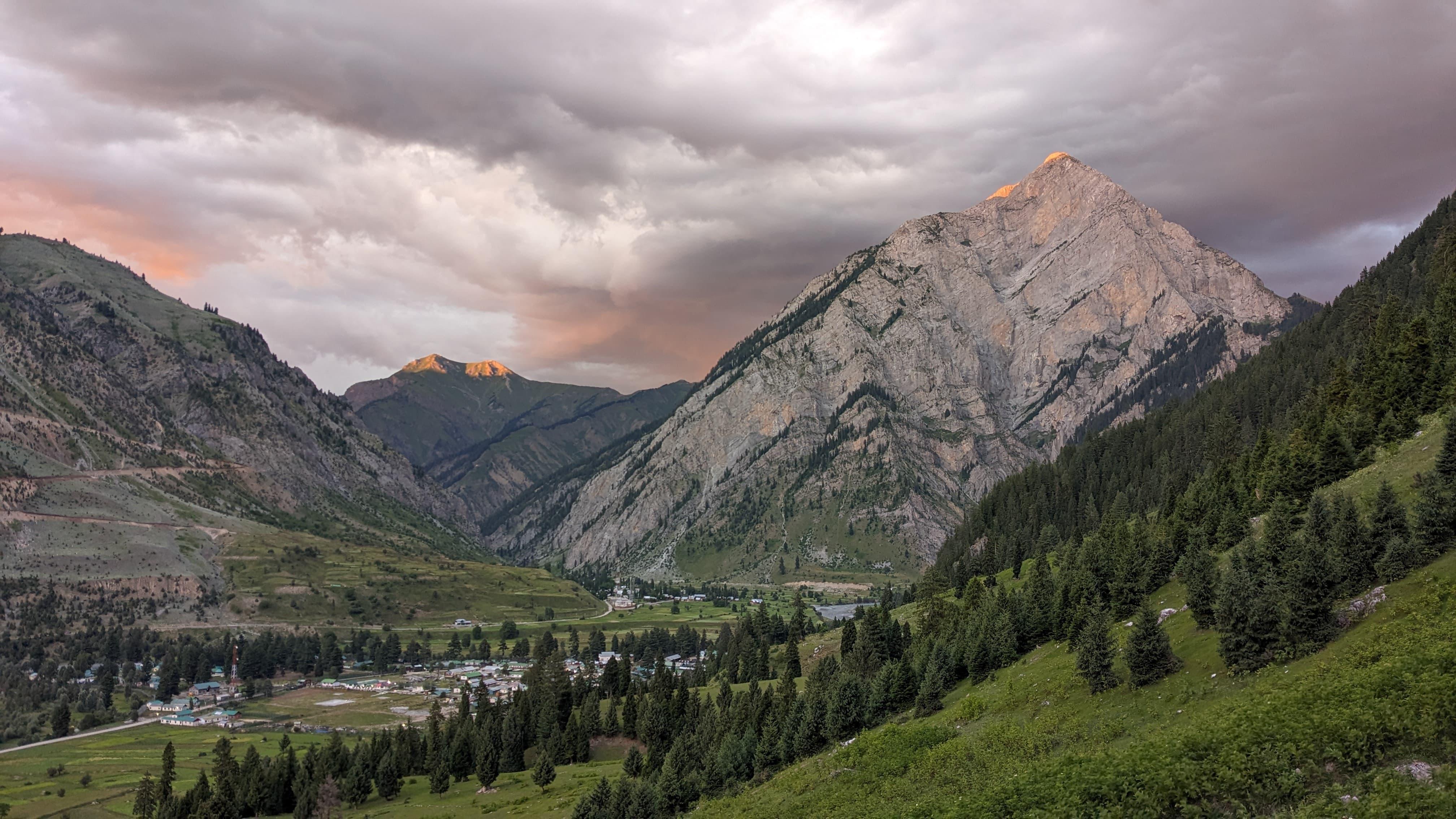
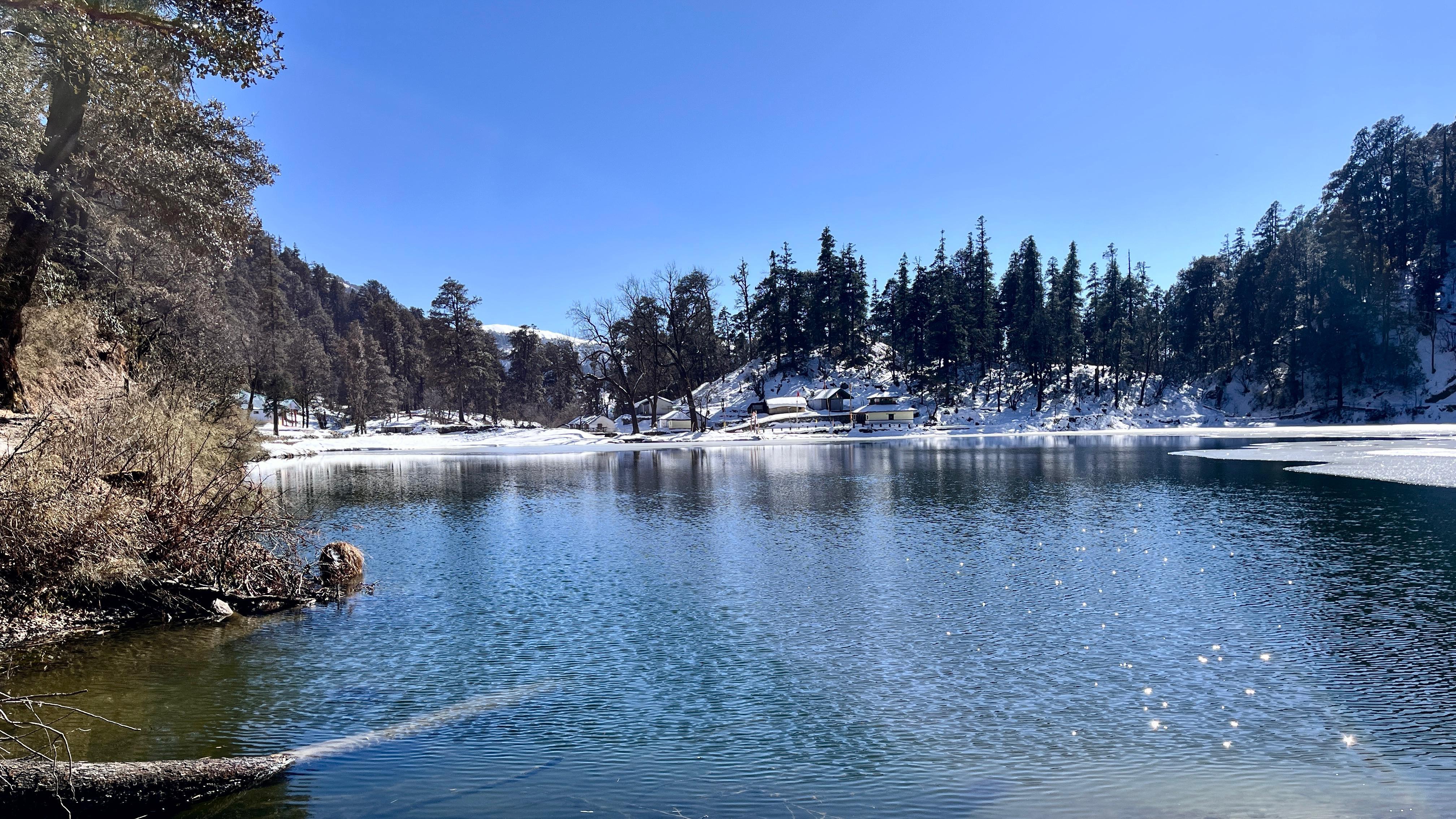
The journey begins with a gradual acclimatization phase in Spiti, moving from the green valleys near Manali into the stark, sculpted mountains around Kaza. From Chicham onward, the trail leaves road networks behind and begins its slow progression into increasingly remote terrain.
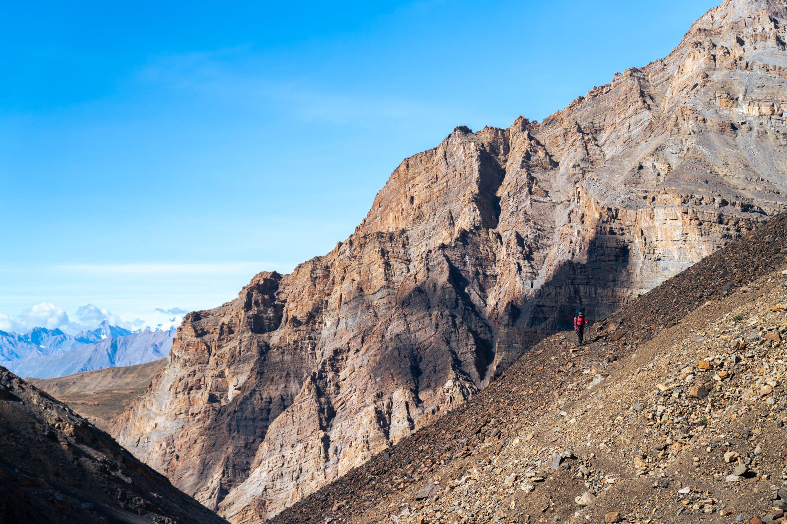
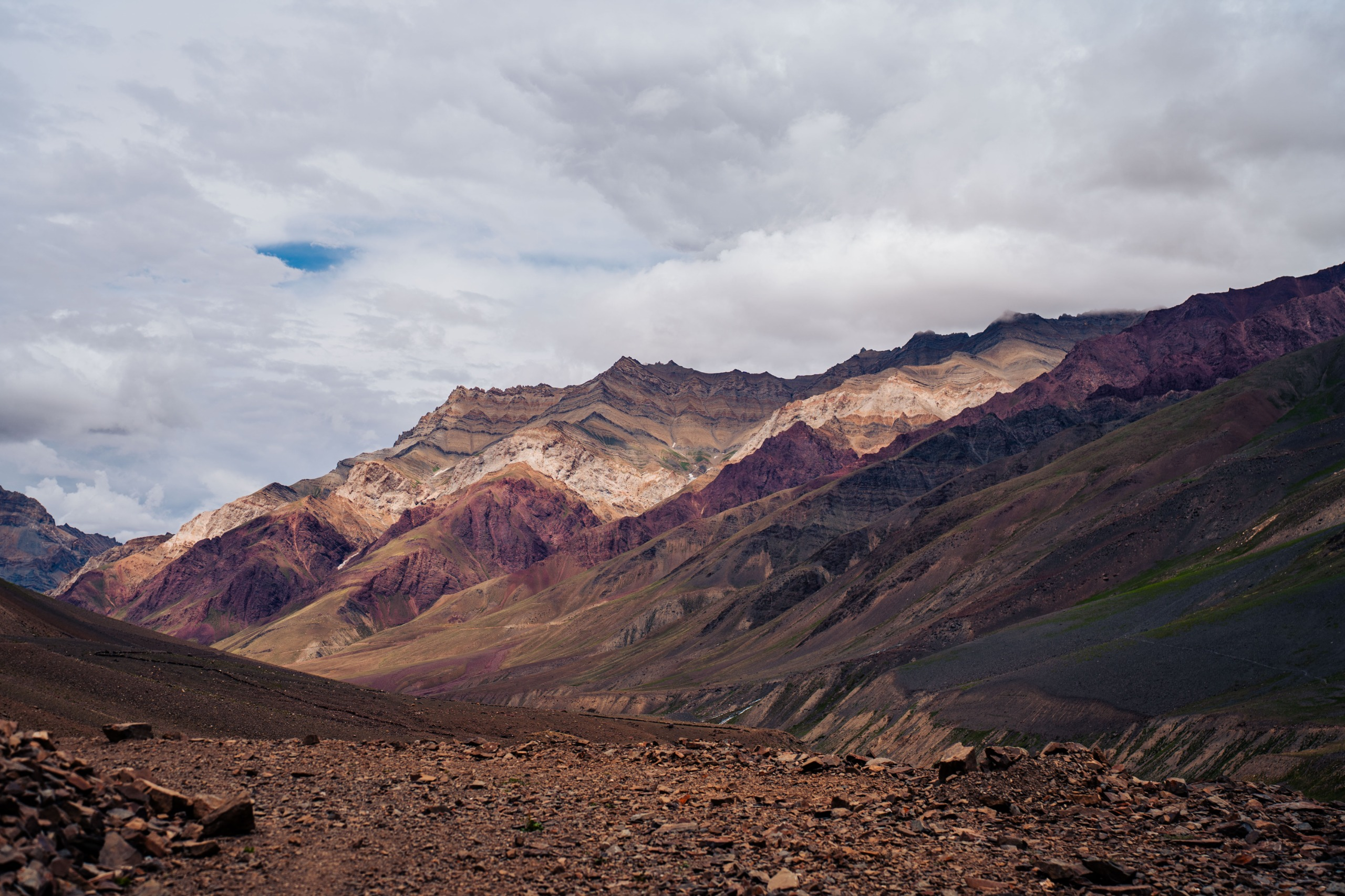
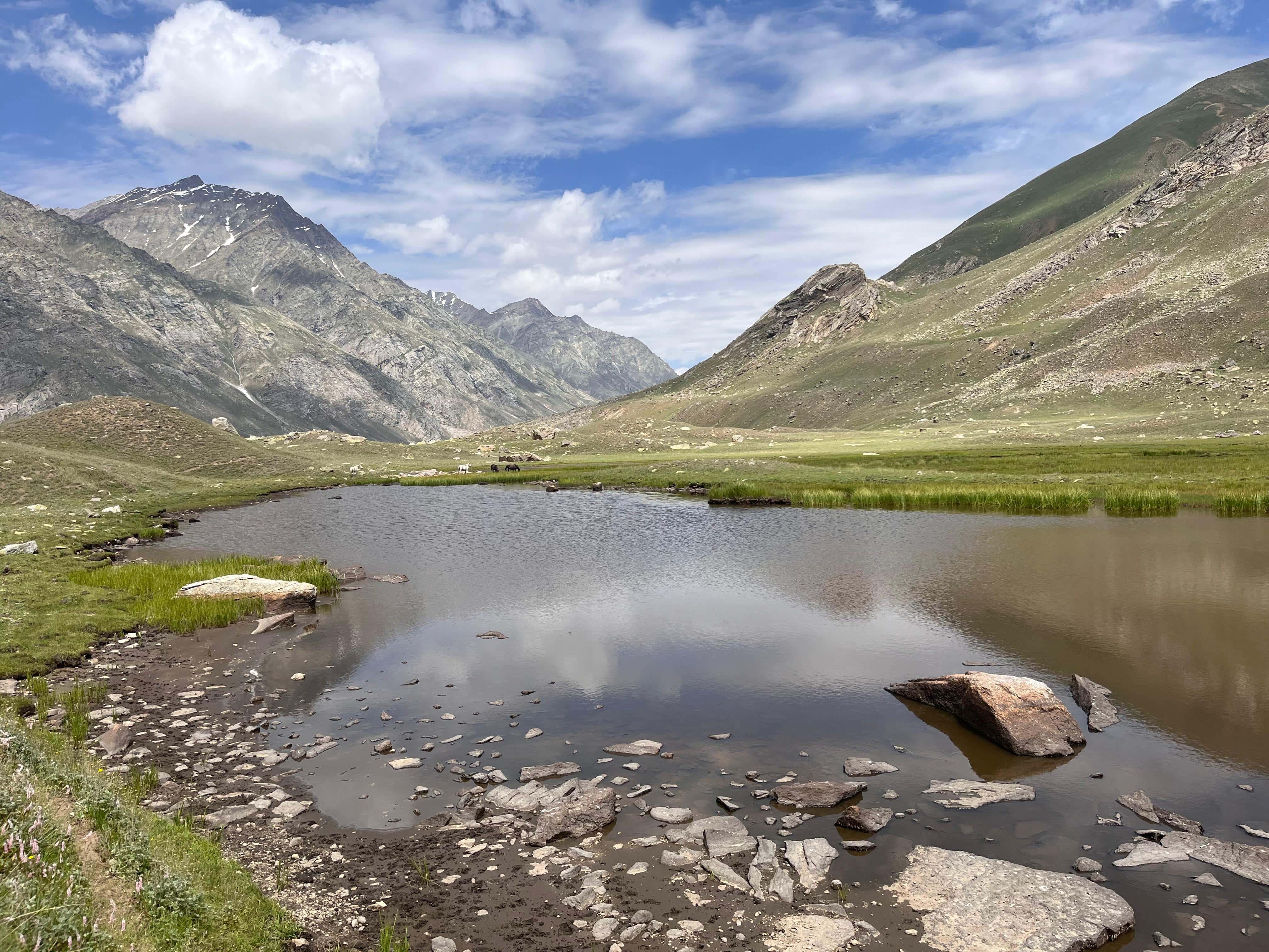
The route follows the Parang Chu river upstream through broad valleys, gravel plains, and glacier-fed streams. Campsites are simple and exposed, with mountains rising on both sides and the sound of flowing water often the only constant presence.
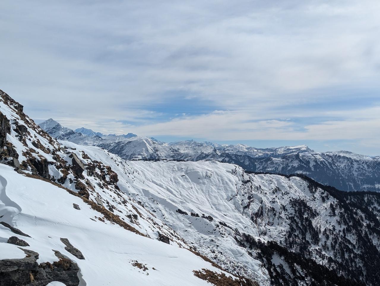
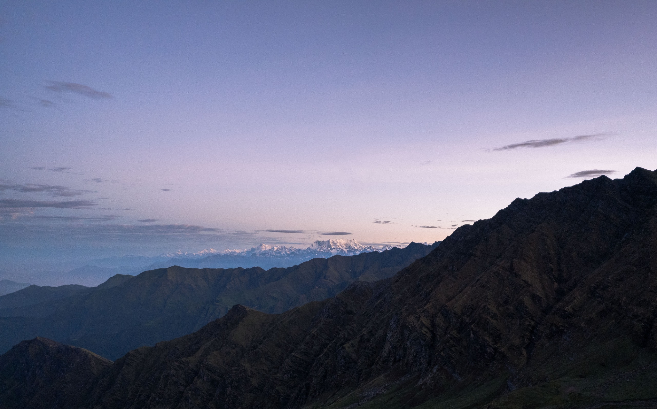
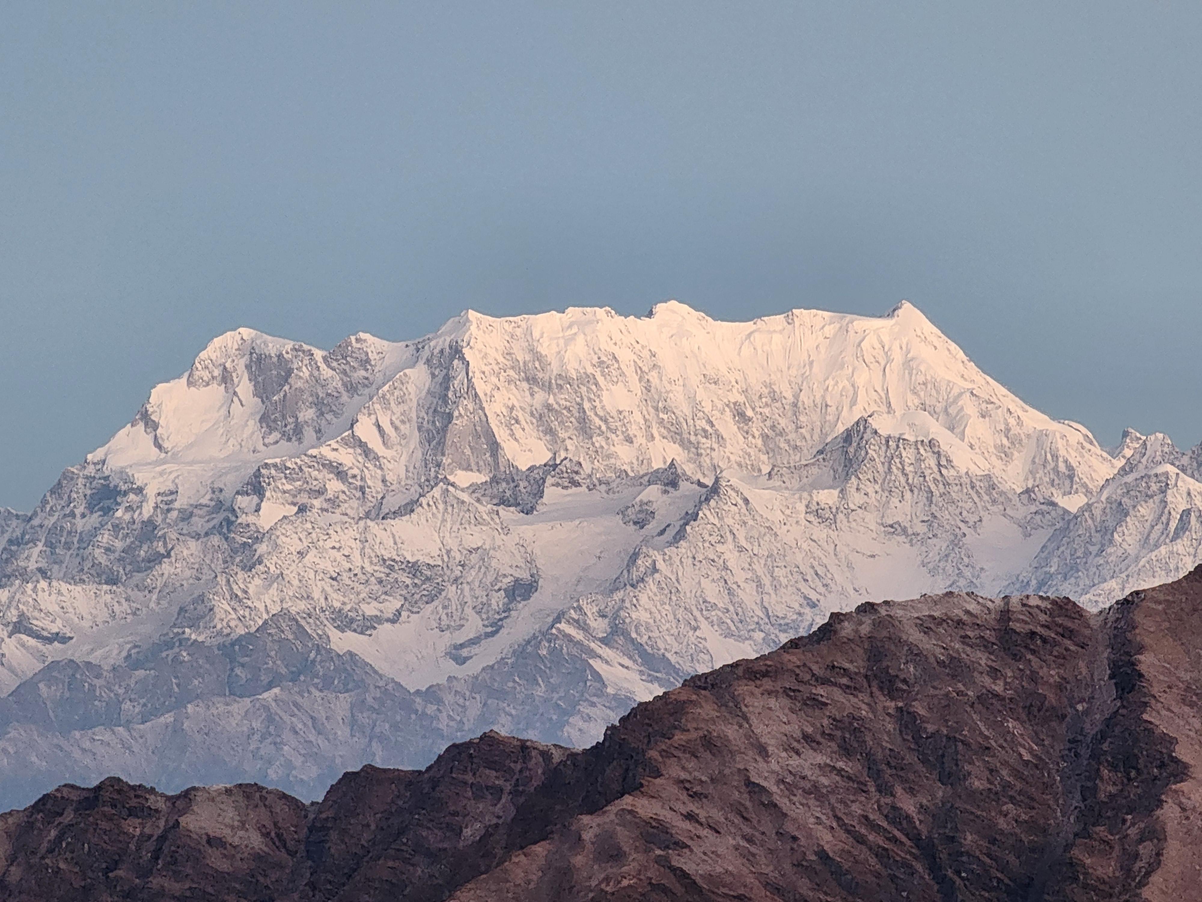
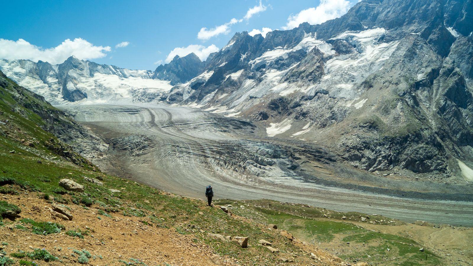
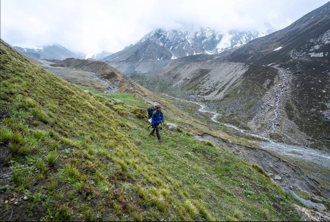
The crossing of Parang La itself demands patience and endurance. The climb involves loose moraine, glacial terrain, and thin air at over 5,500 meters. From the pass, the terrain gradually descends into Ladakh where the landscape transforms into vast high-altitude plains.
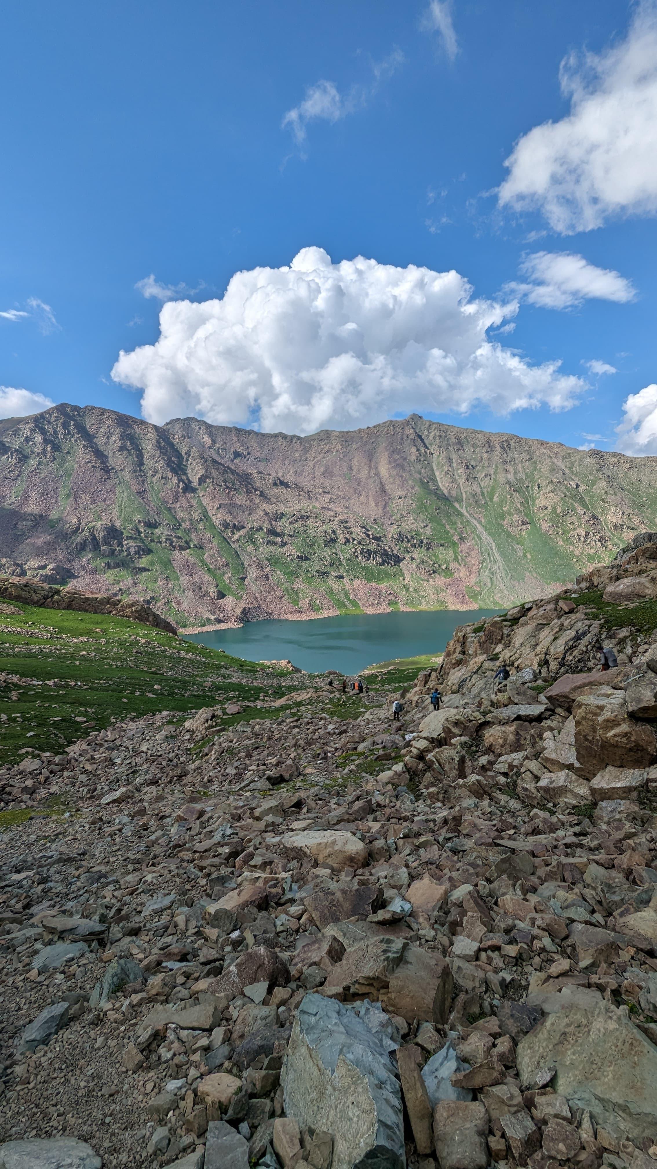
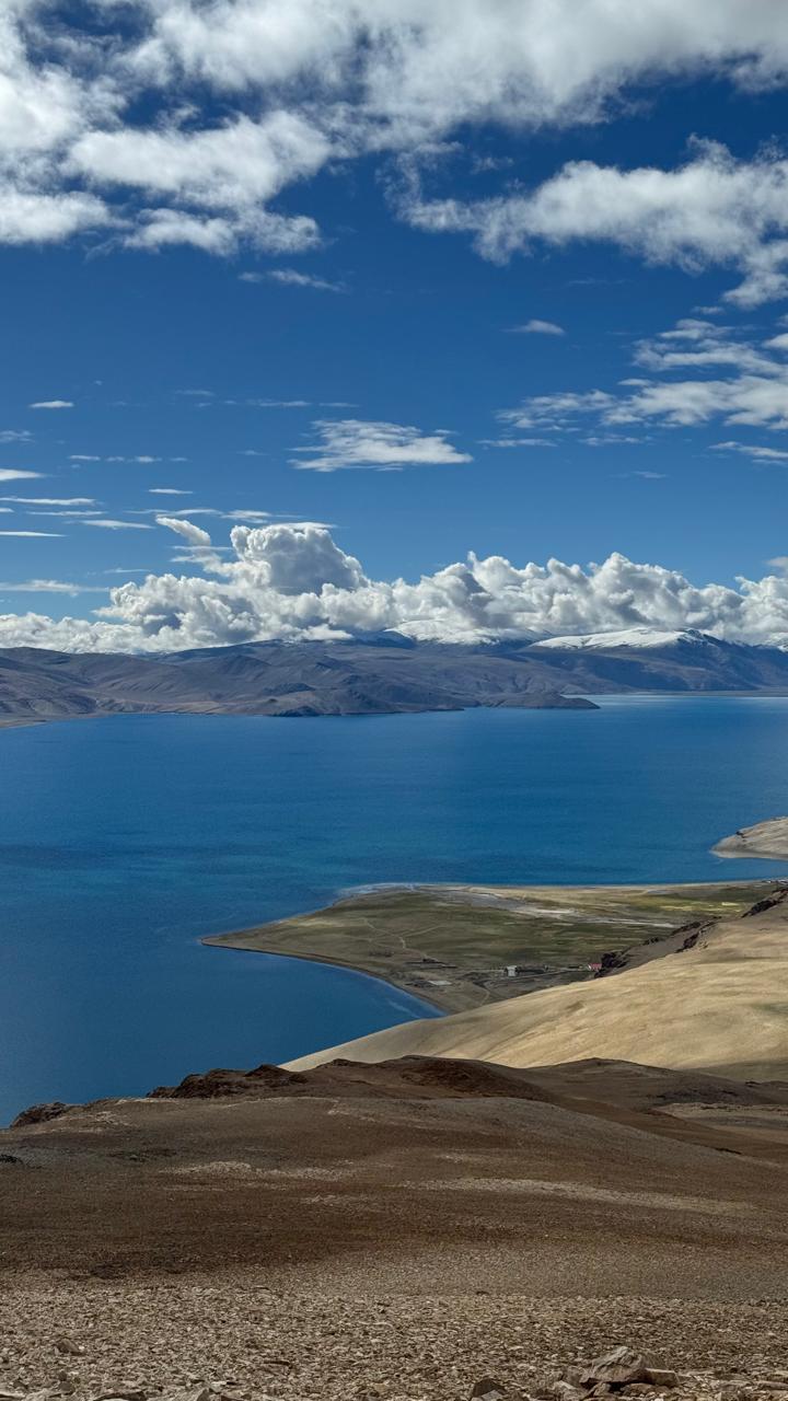
The expedition concludes near Tso Moriri, one of Ladakh’s most remarkable high-altitude lakes, where the first signs of Changpa settlements appear after many days of wilderness travel.
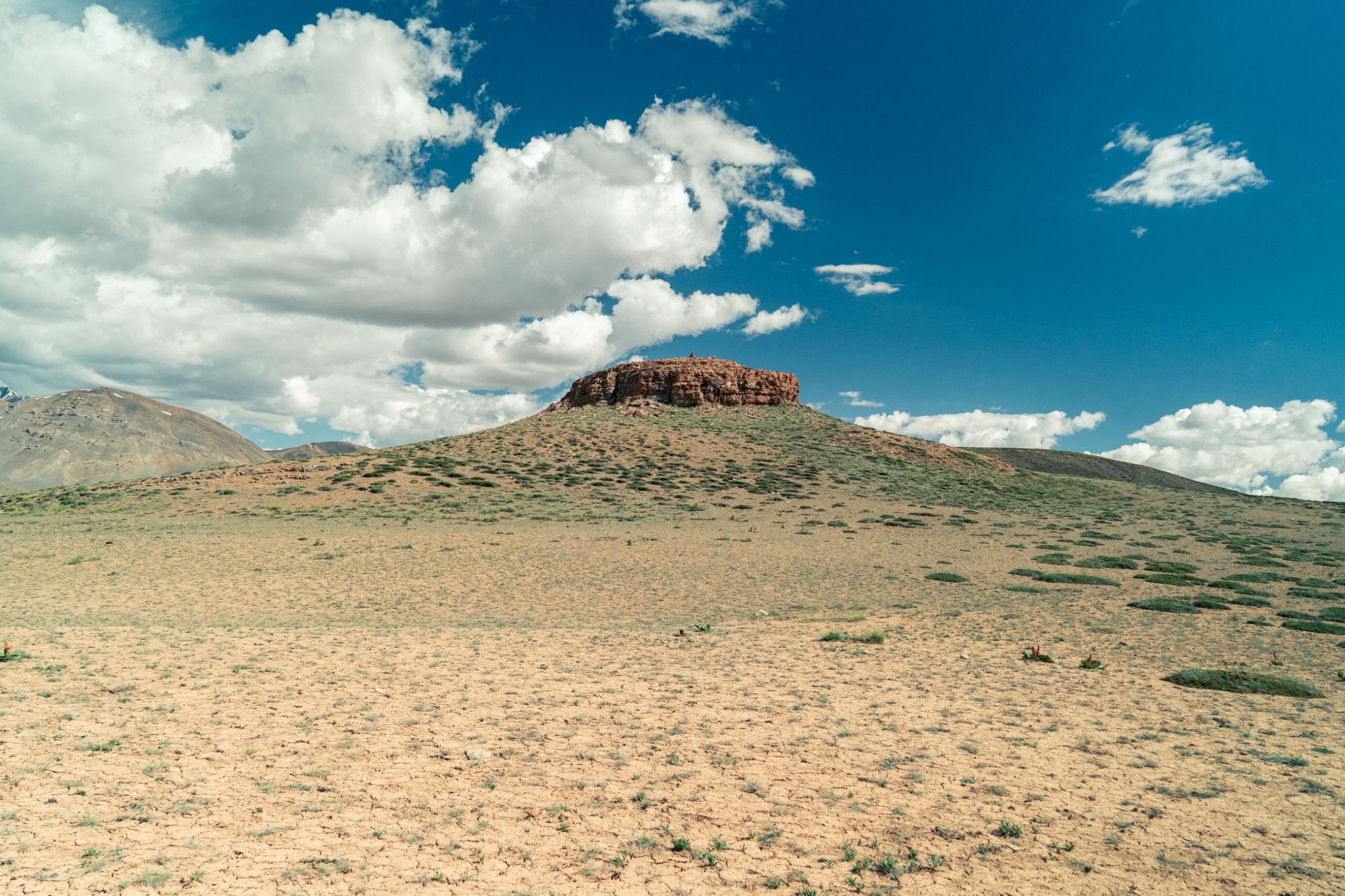
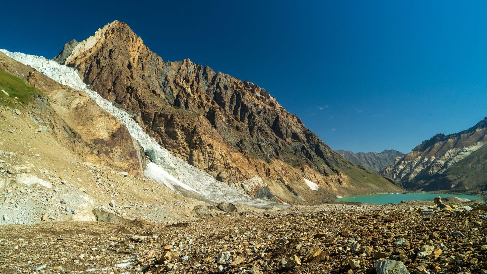
Parang La is not a trek of dramatic viewpoints or crowded trails. It is a journey defined by distance, silence, and the slow satisfaction of moving through one of the most remote corridors of the Indian Himalaya.
Day 1
Drive from Manali to Kaza
Drive Distance: 202 Kms
Time Taken: 8 to 9 hours drive
Elevation Profile: 6,726 ft to 11,300 ft
The journey begins with an early departure from Manali, crossing the high passes of Rohtang and Kunzum before descending into the Spiti Valley. The road gradually leaves behind the forested slopes of Kullu and enters the stark mountain desert of Spiti. By late afternoon the settlement of Kaza appears beside the Spiti River. The evening is reserved for rest and gradual acclimatization.
Day 2
Drive from Kaza to Chicham ; Expedition Planning
Drive Distance: 18 Kms
Time Taken: 1.5 hours drive
Elevation Profile: 11,300 ft to 13,452 ft
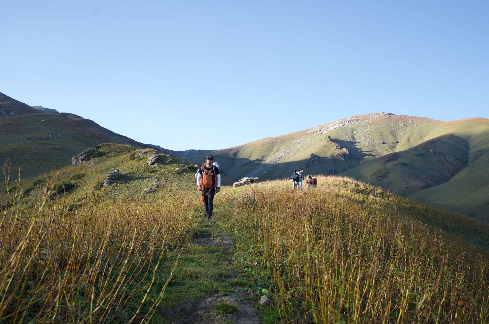
A short drive from Kaza leads to Chicham village, perched dramatically above the deep gorge of the Spiti River. The day is intentionally light to support acclimatization. The village offers wide views across the surrounding mountains, and the afternoon allows time for slow walks and preparation for the trek.
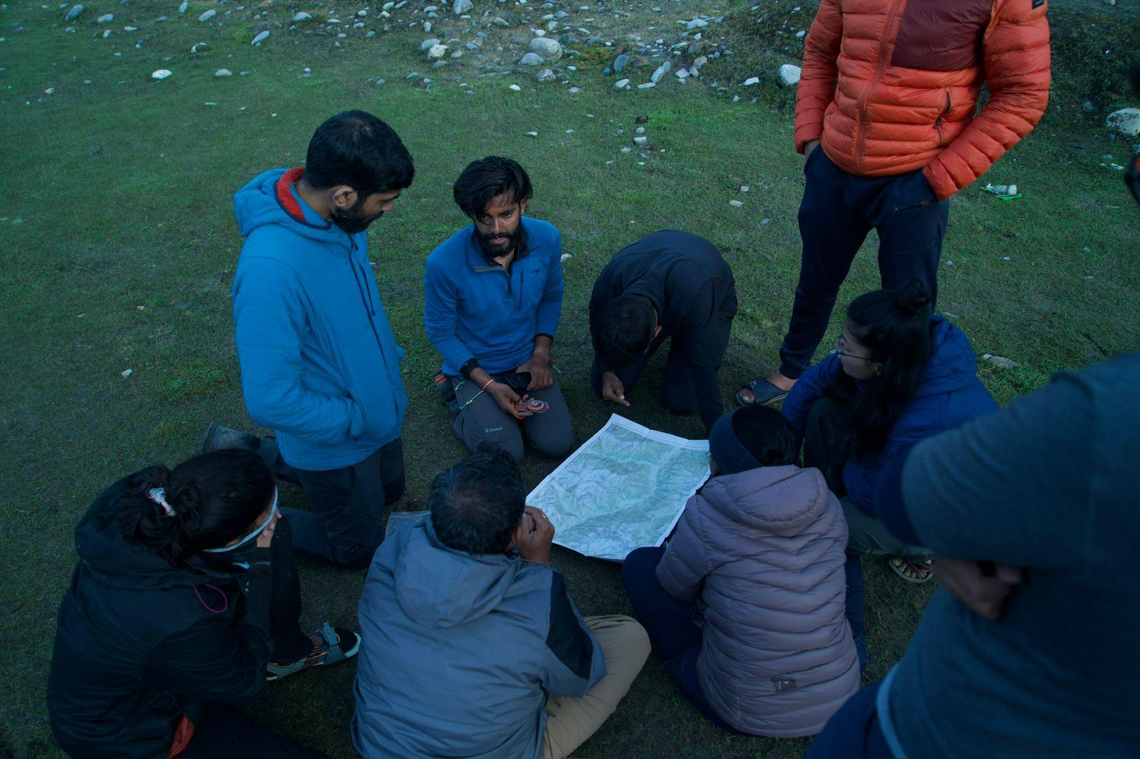
This day will be dedicated to Expedition Planning.
Day 3
Chicham to Thaltak Meadows
Trek Distance: 8 km
Time Taken: 6 to 7 hours
Elevation Profile: 13,452 ft 15,400 ft via 16,072 ft (Smali La)
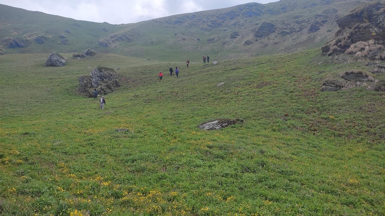
The trail begins by leaving the village behind and gradually entering the valley carved by the Parang Chu river. The terrain is open and expansive, with gravel plains stretching between steep mountains. The walking is steady but not technically demanding. Thaltak campsite lies beside the river, surrounded by barren slopes that glow gold under the evening light.
Day 4
Thaltak to Rungpa Nala Camp
Trek Distance: 4 km
Time Taken: 4-5 hrs
Elevation Profile: 15,400 ft to 14,300 ft
The trail continues along the wide valley floor following the Parang Chu upstream. The landscape feels increasingly remote as signs of habitation disappear completely. The river occasionally splits into multiple channels, requiring careful crossings. Riverside Camp offers a quiet halt beside the flowing waters of Rungpa Nala.
Day 5
Rungpa Nala Camp to Thakchu
Trek Distance: 4 Kms
Time Taken: 6 to 7 hours
Elevation Profile : 14,100 ft to 17,400 ft
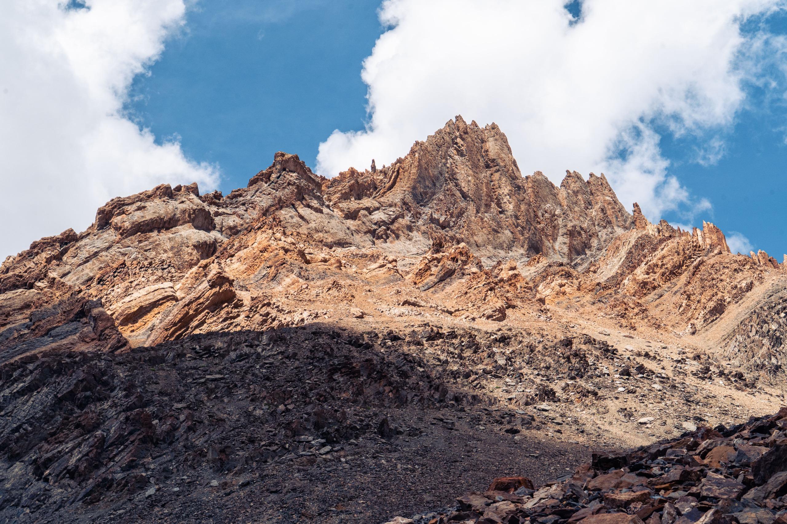
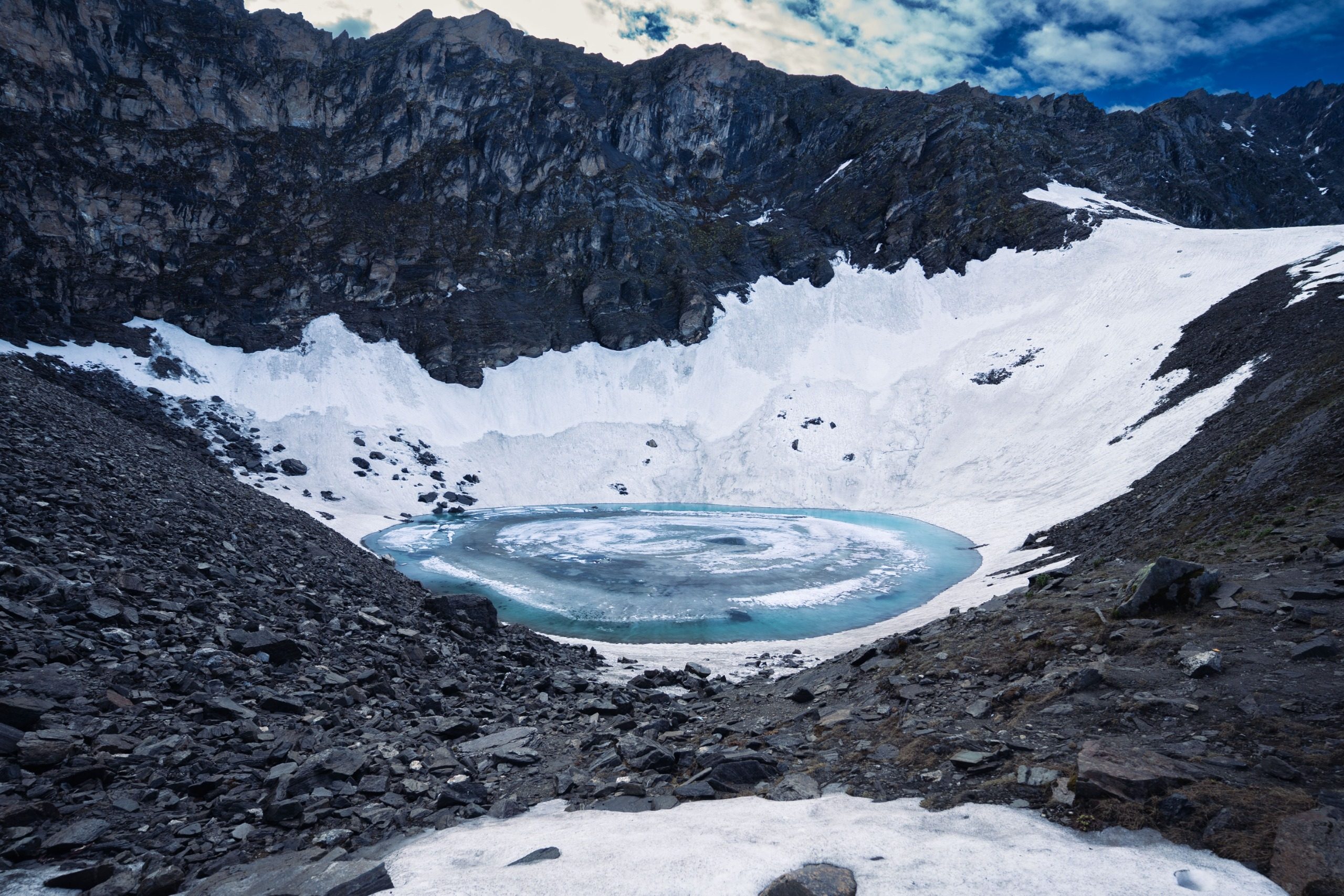
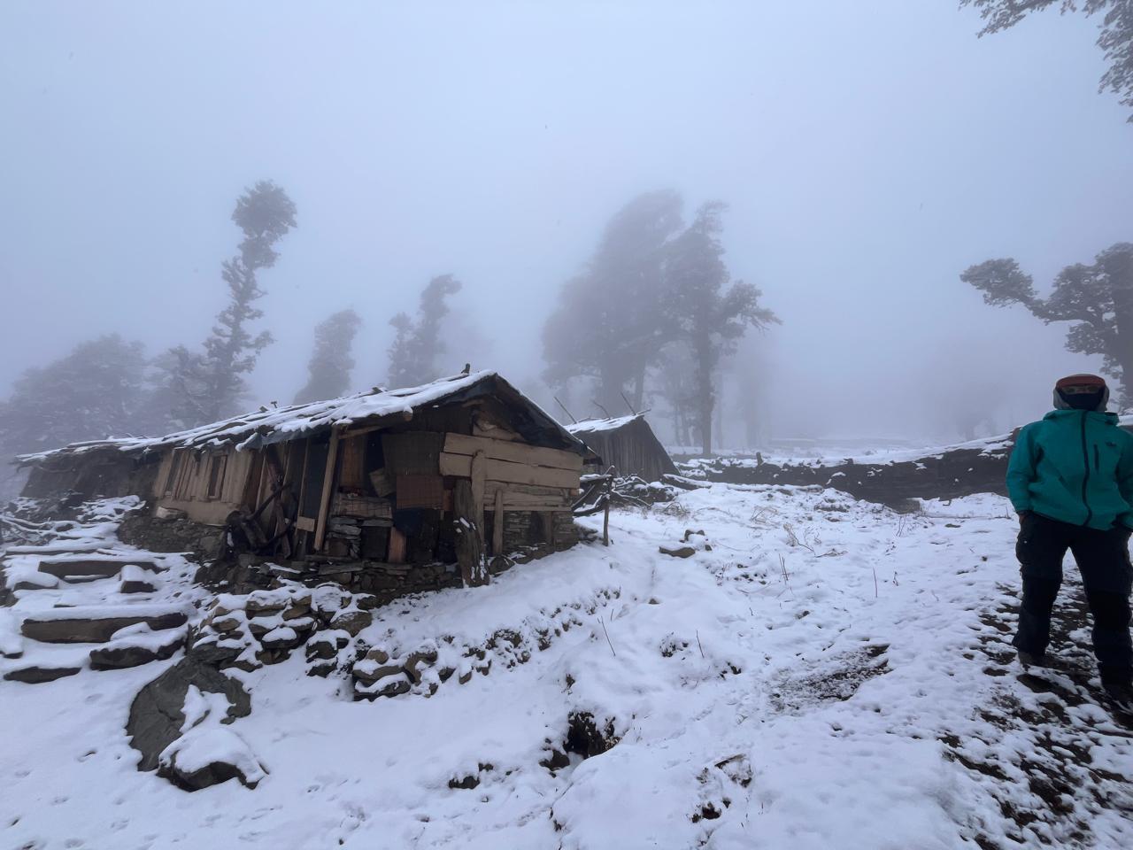
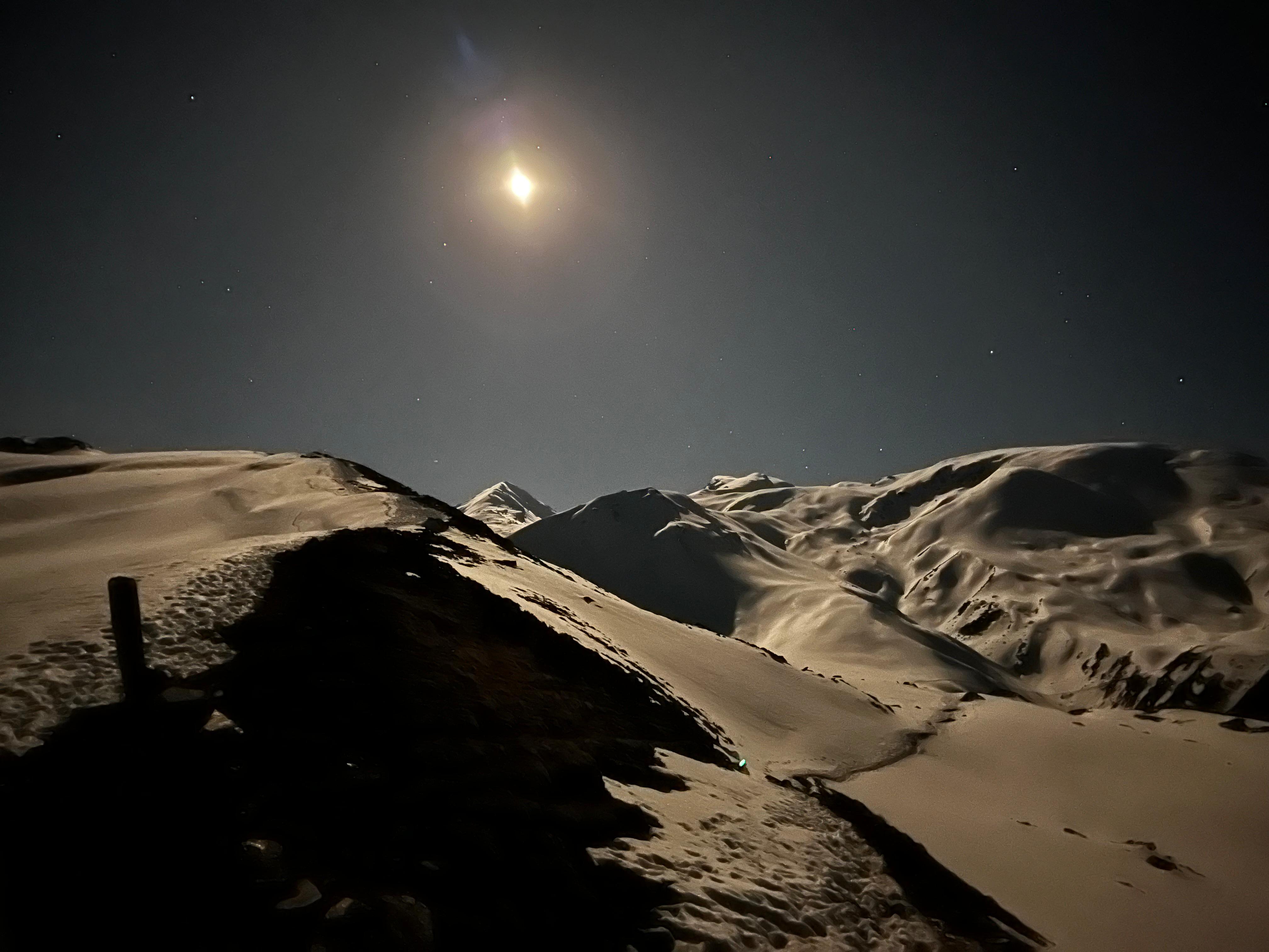
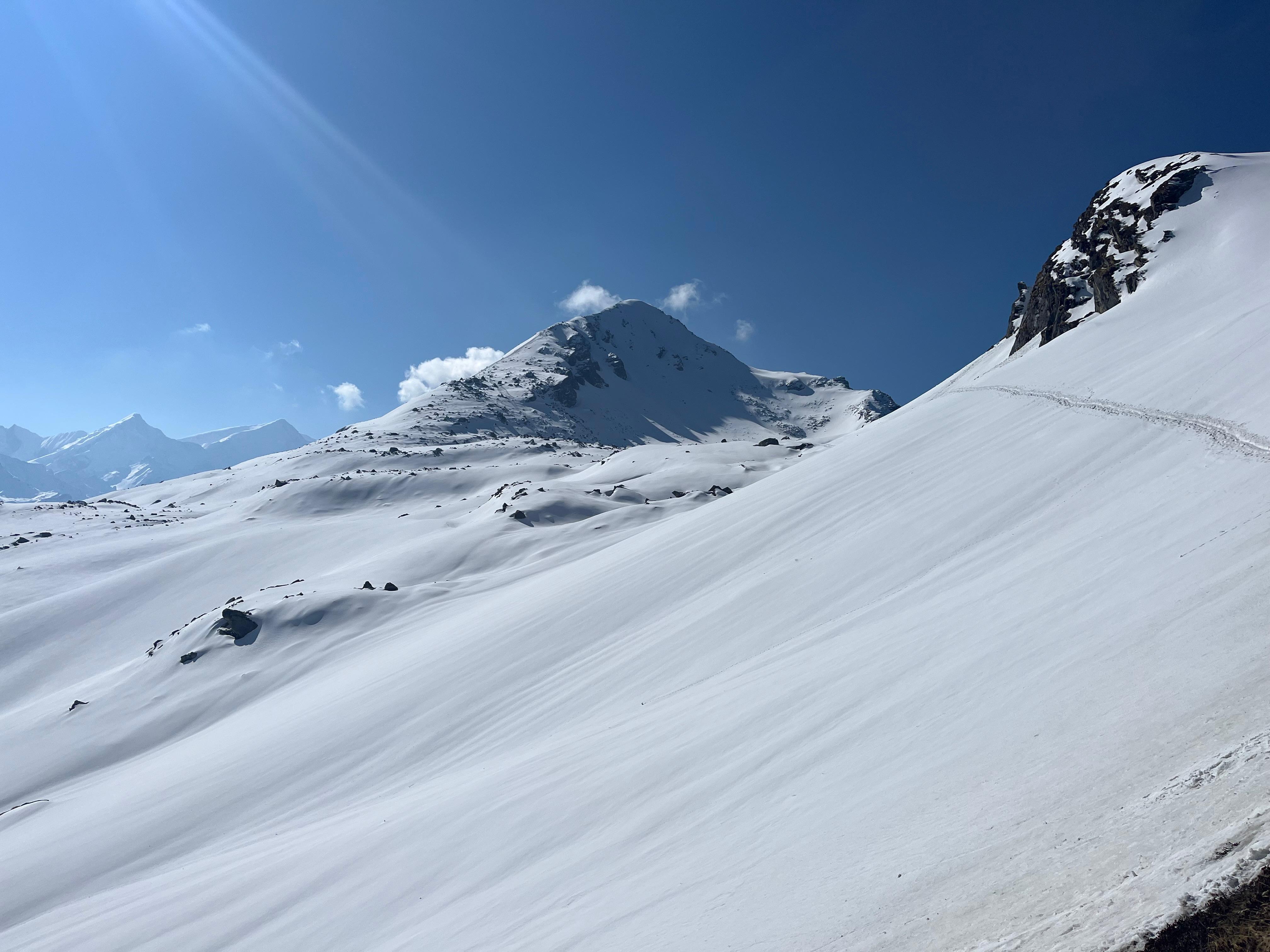
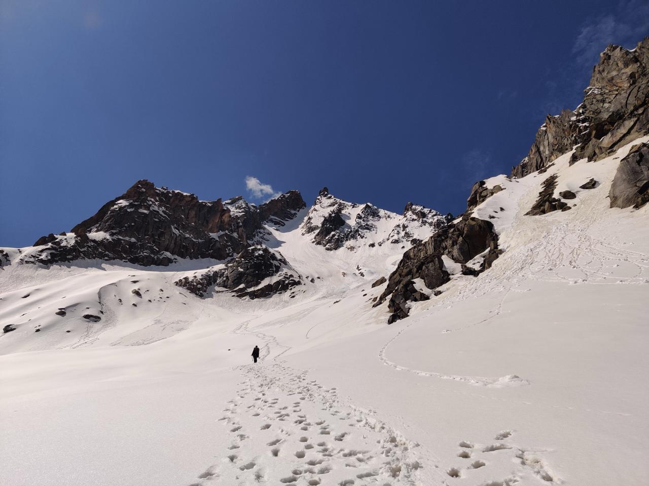
The valley begins to narrow as the route approaches the higher reaches closer to the pass. The trail is an ascent through moraine with occasional spurts of flat walks, caused by new trails created through rock fall/erosion. First water source is next to Borochin, where most of the trekkers camp. We move further up to Thakchu, which sits within a wide open valley and a ridgeline. Today we camp just a few hundred feet below the pass, next to a cave and a waterfall at 17,400 ft!
Day 6
Thakchu to Kharsa Gongma via Parang La
Trek Distance: 14 km
Time Taken: 8 to 9 hrs
Elevation Profile: 17,400 ft to 15,912 ft via 18,242 ft
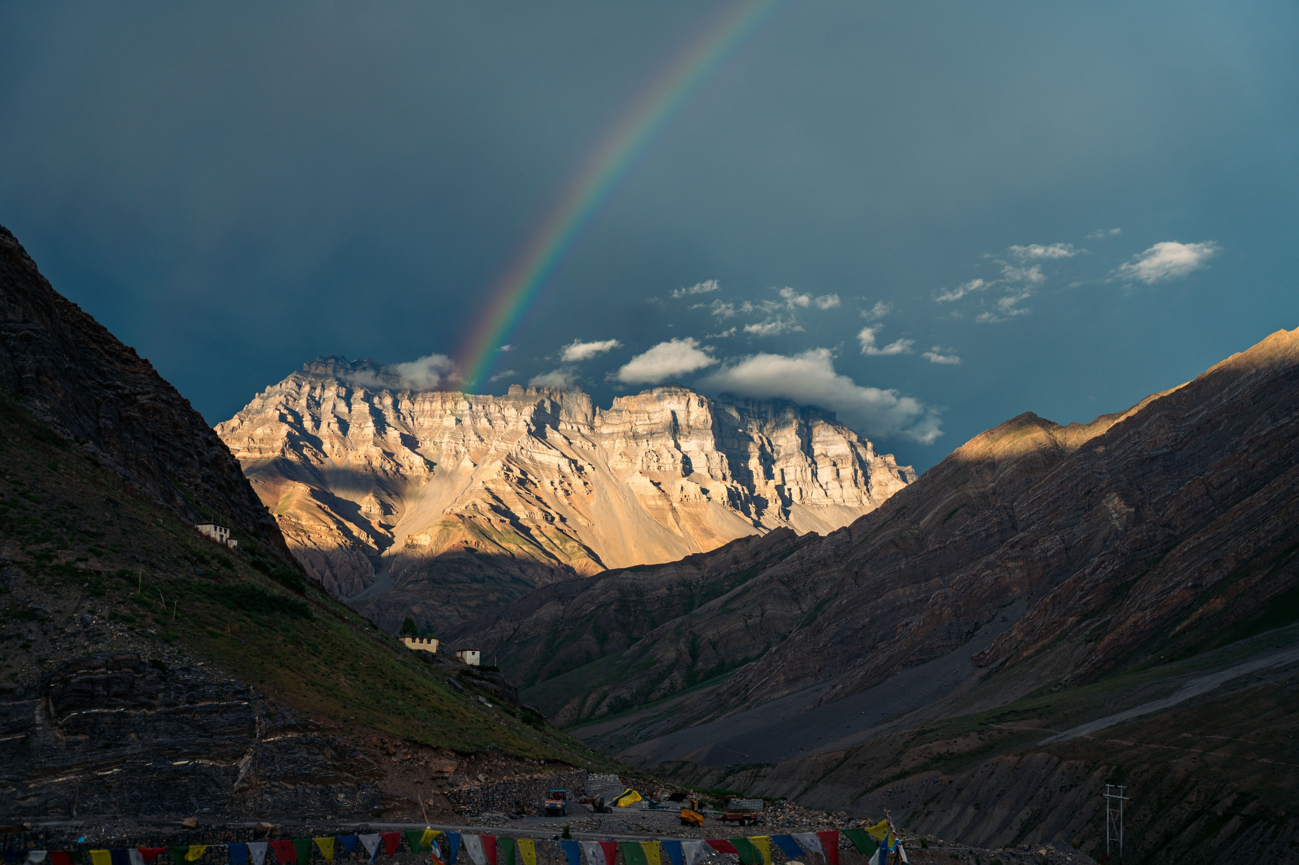
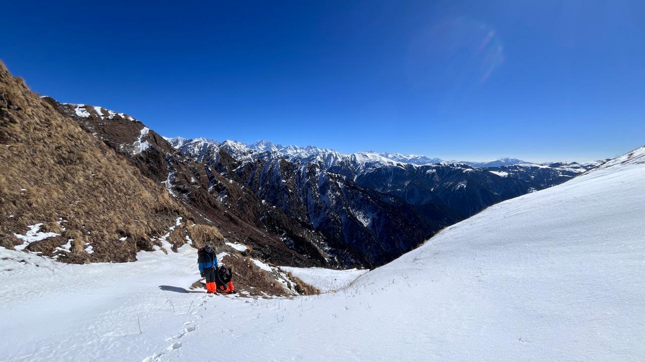
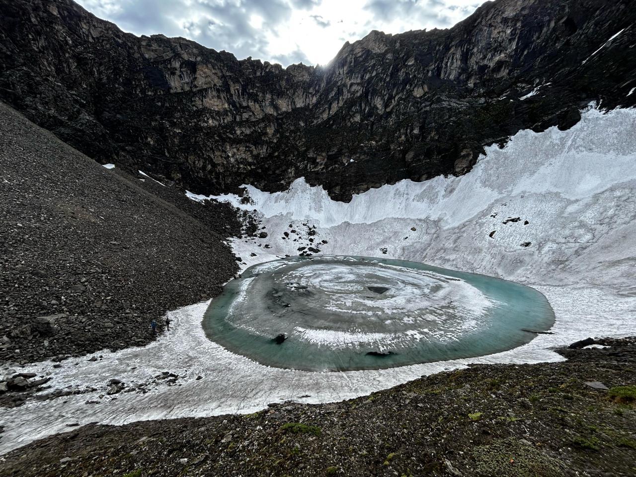
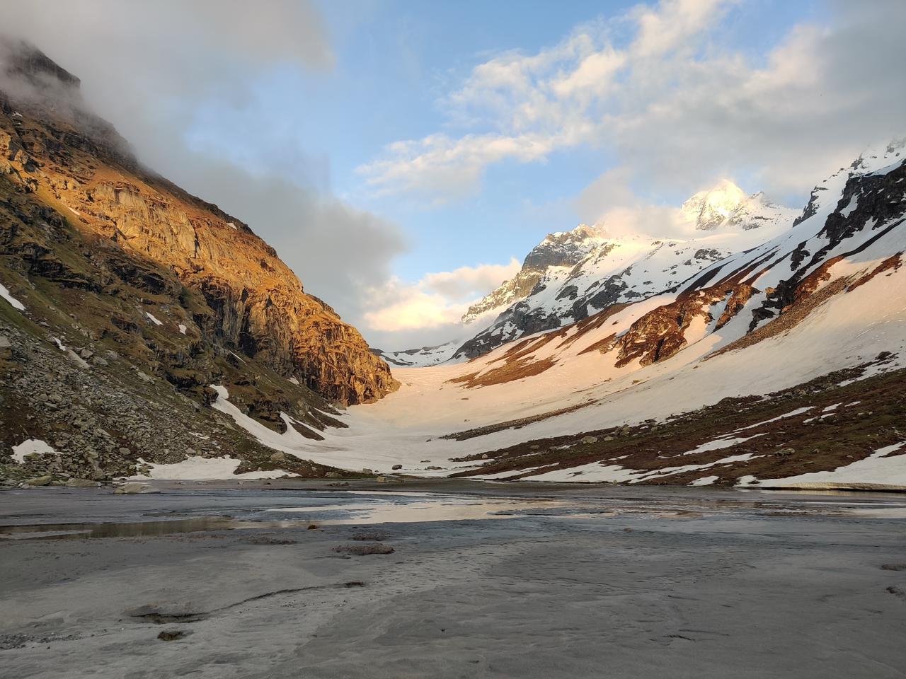
We start early in the morning today because we have a long day ahead of us. The trail starts with a gradual ascent, opening into an open glacial basin. We walk around it to reach the base of Parang La. After a long and tedious switchbacks over 18,000 ft, we finally make it to the the Pass - Covered in prayer flags and a dripping Pare Chu. We cross the pass and descend through the massive Pare Chu Glacier to Kharsa Gongma - a tiny green patch next to hundreds of streams.
Day 7
Kharsa Gongma to Kapapuche
Trek Distance: 20 km
Time Taken: 7 to 8 hrs
Elevation Profile: 15,912 ft to 15,420 ft
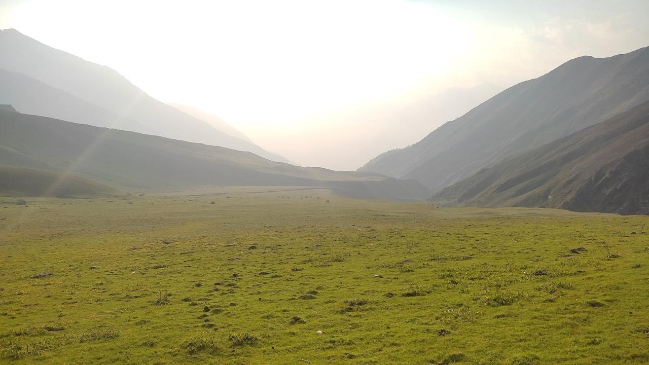
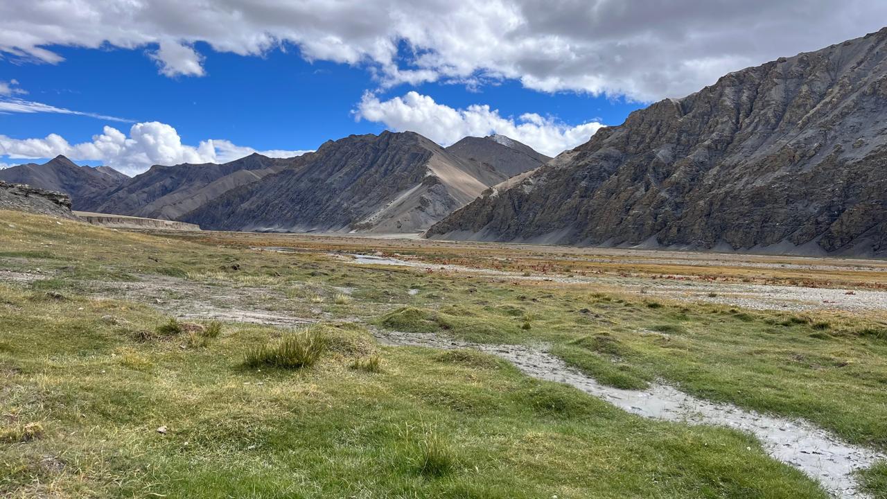
Today’s trek transitions into the vast Changthang landscape. The trail follows the wide floodplains of the Pare Chu River, often braided with multiple shallow streams. Early in the day, you’ll cross icy riverlets using stepping stones or barefoot wading. The terrain is largely flat, but don’t be misled the sheer distance, loose gravel, and blazing high-altitude sun take their toll. The vastness begins to overwhelm: there’s little shelter, no trees, and endless horizons of rock and wind. Datang Yongma (also called Kapapuche) lies near broad grassland terraces often grazed by nomads’ herds. Distant cliffs glow rust-orange in evening light. The silence is deep and unbroken with no mobile signals, no human interference.
Day 8
Kapapuche to Kiptodansa
Trek Distance: 22 km
Time Taken: 7 to 8 hrs
Elevation Profile: 15,420 ft to14,920 ft
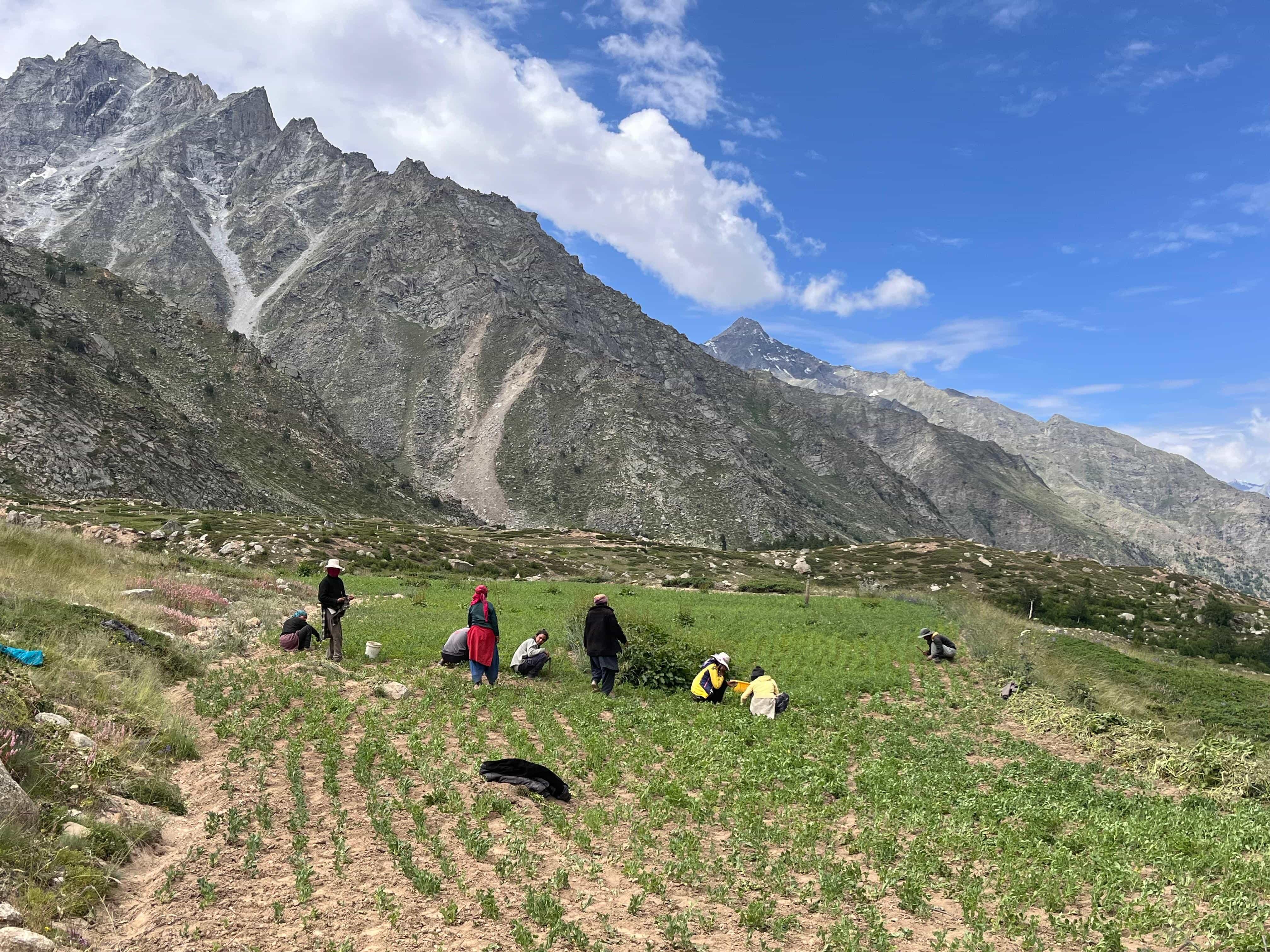
The trail meanders along the river with subtle undulations. Today, you begin noticing signs of life with nomadic markers, occasional cairns, and wide yak trails carved into the earth. Keep an eye out for Kiangs (wild asses) sprinting across the flats and golden marmots sunbathing on boulders. As you descend slightly in altitude, oxygen becomes more available, but the strong sun and dry air still demand hydration and pacing. Kitpodansa is marked by a widening in the valley, and your campsite rests on a gently sloped terrace beside the Pare Chu. Expect a colder night as this part of the plateau is exposed to evening winds.
Day 9
Kiptodansa to Norbu Sumdo ; Drive from Norbu Sumdo to Karzok
Trek Distance: 3 Kms
Time Taken: 2 Hours
Elevation Profile: 14,920 ft to 14,300 ft
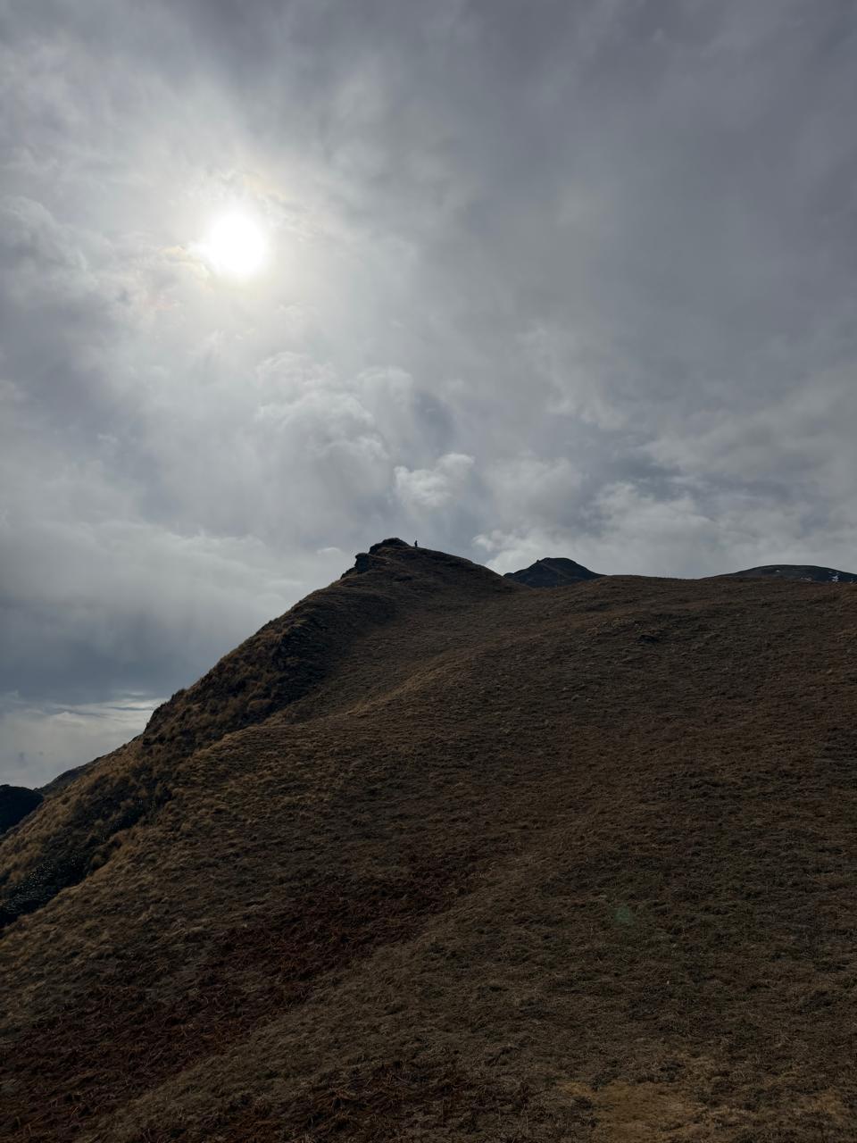
Start the day early to cross the Pare Chu which this is a wide, braided section and may require multiple crossings by now. Water levels rise quickly post-noon. Once across, a long ascent follows over sunburnt hills. The trail becomes less defined, marked only by yak droppings and hoof prints. Wild alpine herbs like edelweiss, thyme, and dandelion start appearing. You’re now stepping into the ecological fringe of the Tso Moriri region.
As you gain elevation, the landscape opens into rolling pastures with distant glimpses of the lake’s icy shimmer.
We finally make it to the roadhead. The vehicle will be waiting to take us to Karzok, all along the banks of Tso Moriri.
Day 10
Karzok to Leh
Drive Distance: 240 Kms
Time Taken: 7 Hours
Elevation Profile: 14,300 ft to 11,400 ft
We start our drive of 240 Kms from Karzok to Leh in the morning. The route goes through the magnificent Changthang Valley. If participants wish, they can also leave for Hemis, instead of Leh and experience one of starriest skies in the world.
Trekking Experience
The Parang La trek is a high-altitude, cross-glacier, multi-day expedition and not recommended for first-time trekkers. Participants should have prior experience of at least one high-altitude trek above 14,000 ft (e.g. Hampta Pass, Buran Ghati, Goechala, or Pin Bhaba). Familiarity with long trekking days (6–10 hours) and basic camp life is essential.
Acclimatization Preparedness
You will be sleeping above 14,000 ft from Day 2 itself, with gradual climbs to 16,000 ft and a pass crossing at 18,300 ft. The route has no quick exit options. Therefore, participants must spend at least 2–3 days at high altitude (Kaza/Chicham) before starting the trek to allow proper acclimatization.
Mental Endurance
Parang La tests your patience and composure. The terrain is often repetitive, weather can be unpredictable (especially wind), and solitude is intense. There are no forests, no villages, and no network. You must be comfortable with silence, harsh sunlight, and long days of exposure.
Minimum Fitness Required
Parang La is a challenging grade backpacking trip and hence, participants are expected to take their training seriously.
We follow a scientific approach where we build most of your endurance in Zone 2, a sustainable, conversational pace that strengthens your aerobic base without overexertion.
Minimum fitness benchmarks:
- Walk 15-20 km on gentle terrain without excessive fatigue.
- Maintain 90–120 minutes of Zone 2 movement (brisk walking, cycling, slow jogging) without long breaks.
- Comfortable moving on slightly uneven or natural surfaces.
4–6 Week Recommended Aerobic Prep
- 3–4 Zone 2 sessions/week, 40–60 minutes each.
- Focus on durability and consistency, not speed.
This prepares your body to handle steady movement over several hours.
Mobility, Strength & Sports Movement
This section builds all-around movement quality (Essential even on easy trails).
Mobility (10–15 minutes daily)
- Ankles (For example - rotations, calf stretches)
- Hips (For example - lunges, hip openers)
- Upper back (For example - thoracic rotations)
Strength (2 sessions per week)
- Legs (For example - squats, step-ups, lunges)
- Core (For example - planks, dead bugs, bird-dogs)
- Balance (For example - single-leg stands, heel-to-toe walk, etc)
Sports Movement & Hand–Eye Coordination (1–2 sessions per week)
We encourage participants to add agility-based sports such as Badminton, Table tennis, Tennis, Basketball, Football (easy play), and Squash.
These develop reactive balance, foot placement accuracy, and movement confidence, all of which are valuable on uneven trekking terrain.
Our Expectations from the Participants
- Carry your own backpack.
- Cooperate in campsite duties when necessary (pitching tents, fetching water, cooking meals, etc.).
- Be mindful with timings, hydration, and self-care.
- Respect local customs and wildlife. Do not litter or disturb natural settings - we follow a strict Leave No Trace Code.
- Be transparent with your physical condition; inform the Program Instructors early in case of any discomfort or symptoms of AMS (Acute Mountain Sickness).
Inclusion
Exclusion
SELECT DATE TO REGISTER
Thank You!
Your form has been submitted successfully. We'll get back to you soon.
₹ 27,499 + 5% GST