


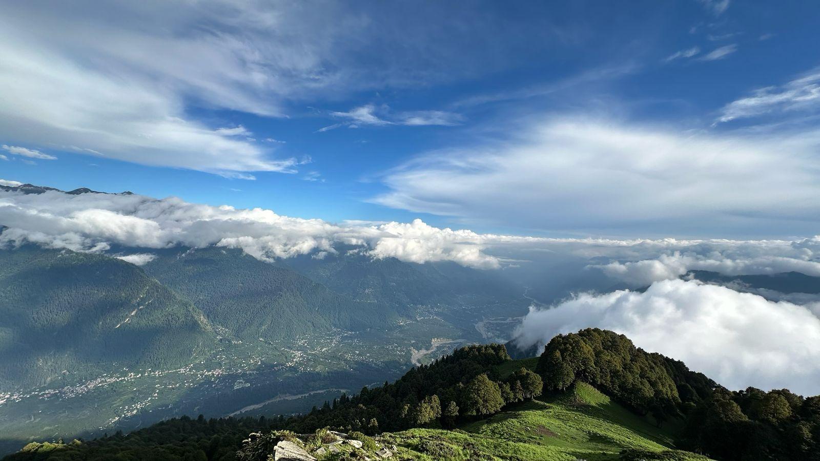
The Pin Parvati Pass Trek is one of the most stunning and raw trans-Himalayan treks in India. It links the arid, wind-eroded landscapes of Spiti with the lush alpine meadows and conifer forests of the Parvati Valley in Kullu. This trek not only bridges two distinct landscapes but also two deeply contrasting cultures—Tibetan Buddhism and Hinduism. First crossed by Sir Louis Dane in 1884, this route has seen centuries of movement by herders, monks, and traders.
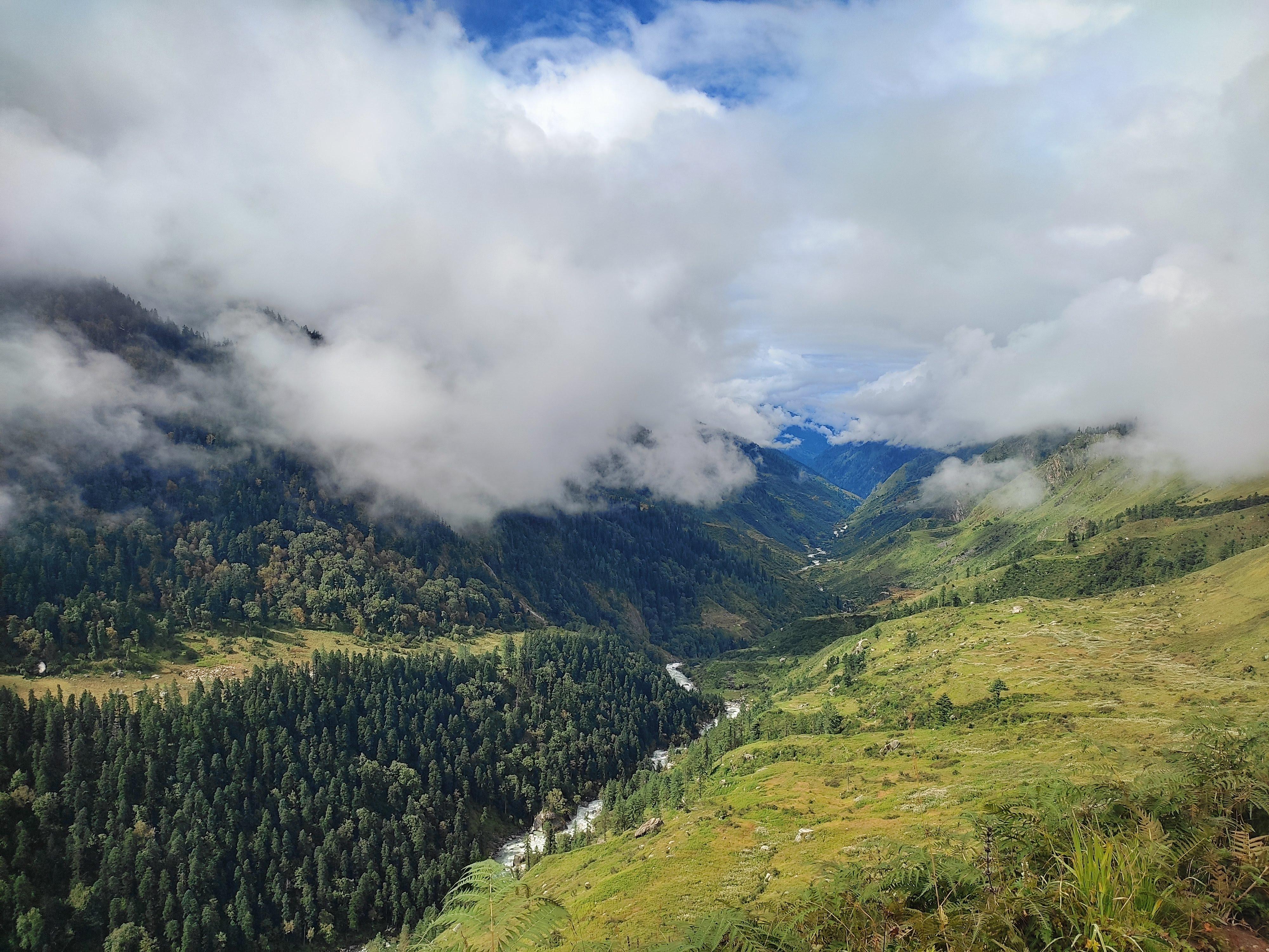
The trek begins in the quiet village of Mudh in the Pin Valley National Park—home to snow leopards, Himalayan ibex, and choughs—and then journeys up the stark and glaciated Pin River gorge. Glacial terrain, moraine fields, and roaring rivers challenge you until you stand atop the Pin Parvati Pass at 17,451 ft. The descent introduces you to a new world—grassy plains, alpine lakes, pine forests, and bubbling hot springs. It ends in the cheerful hamlet of Pulga in the Parvati Valley.
As a crossover trek, Pin Parvati demands serious fitness, experience, and resilience. You’ll spend days above 12,000 ft, camp in remote, uninhabited meadows, and navigate shifting terrain. The rewards? Complete solitude, ever-evolving scenery, cultural immersion, and the profound satisfaction of crossing the Great Himalayan divide.
Day 1
Drive from Manali to Kaza
Drive Distance – 200 km
Time – 10–12 hours
Elevation Profile – 6,700 ft (Manali) to 12,000 ft (Kaza)
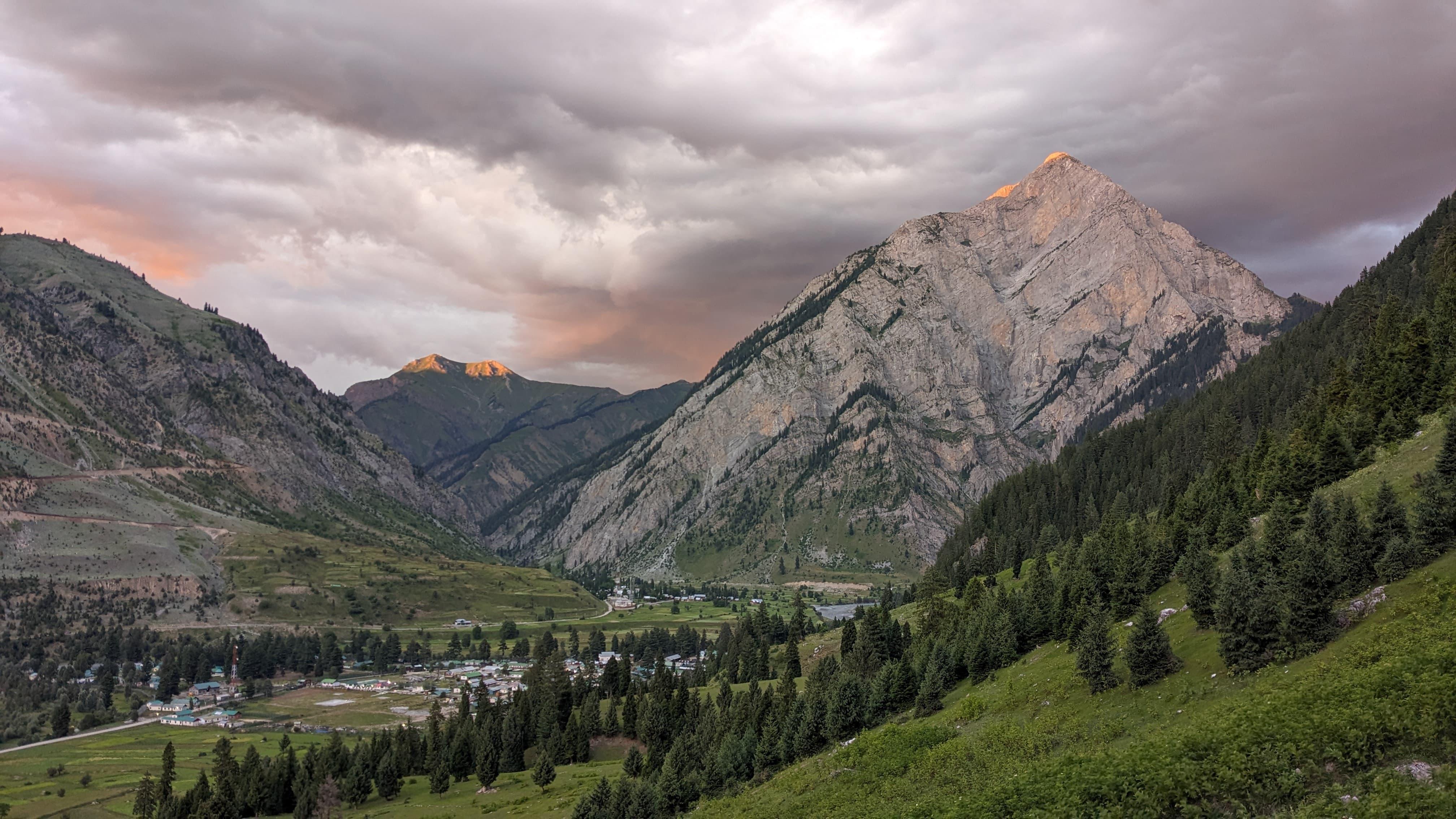
The drive from Manali to Kaza is a journey of contrasts—lush cedar forests give way to stark high-altitude deserts. You cross the Atal Tunnel, into the Lahaul region and further ascend to Kunzum La (14,931 ft), marked by prayer flags and chortens. The terrain becomes arid, with barren cliffs, braided rivers, and ochre-toned mountain walls as you enter Spiti Valley. Kaza, perched on the banks of the Spiti River, is a vibrant town with Tibetan-style monasteries and an otherworldly atmosphere. Stay in a guesthouse, with time to acclimatize and do last-minute gear checks.
Day 2
Drive from Kaza to Mudh
Drive Distance – 50 km
Time – 2–3 hours
Elevation Profile – 12,000 ft (Kaza) to 12,467 ft (Mudh)
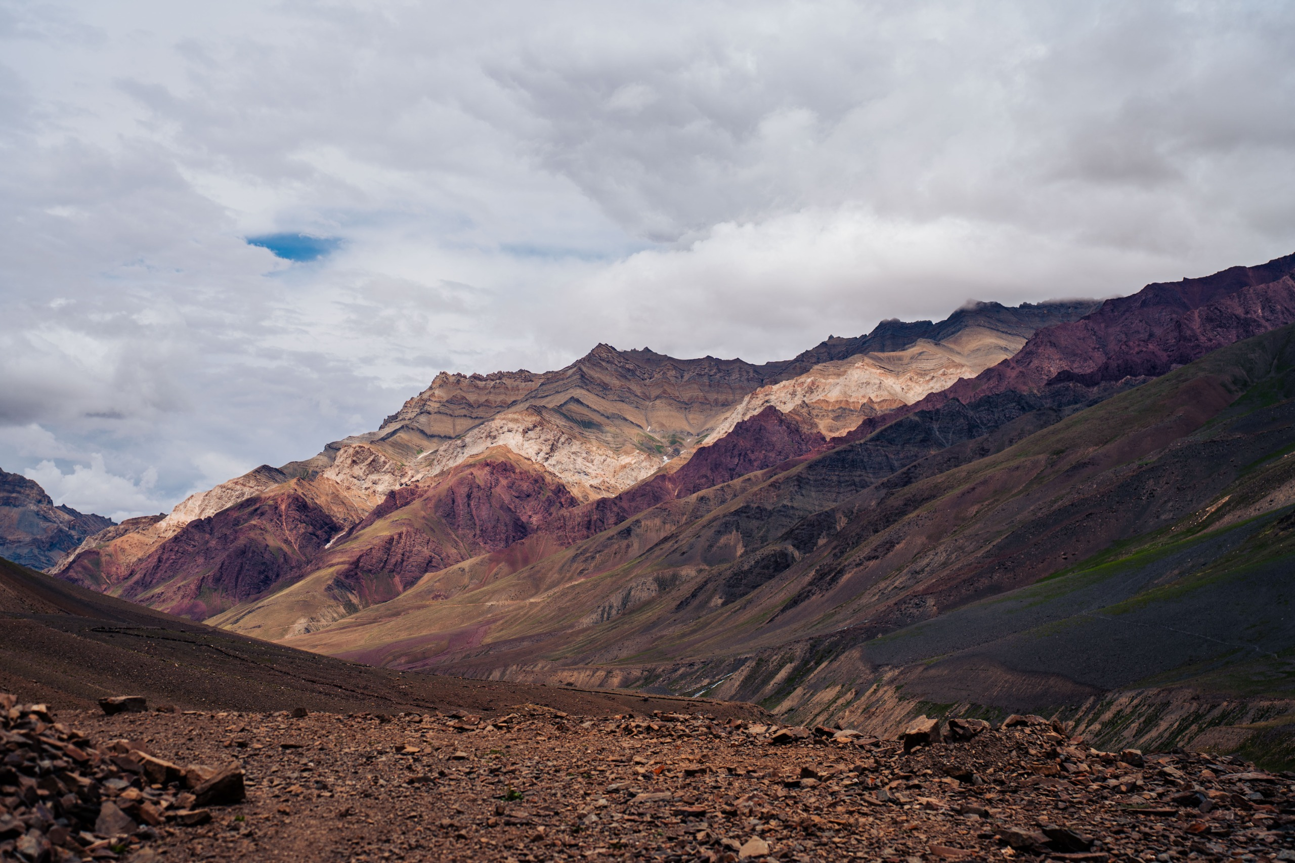
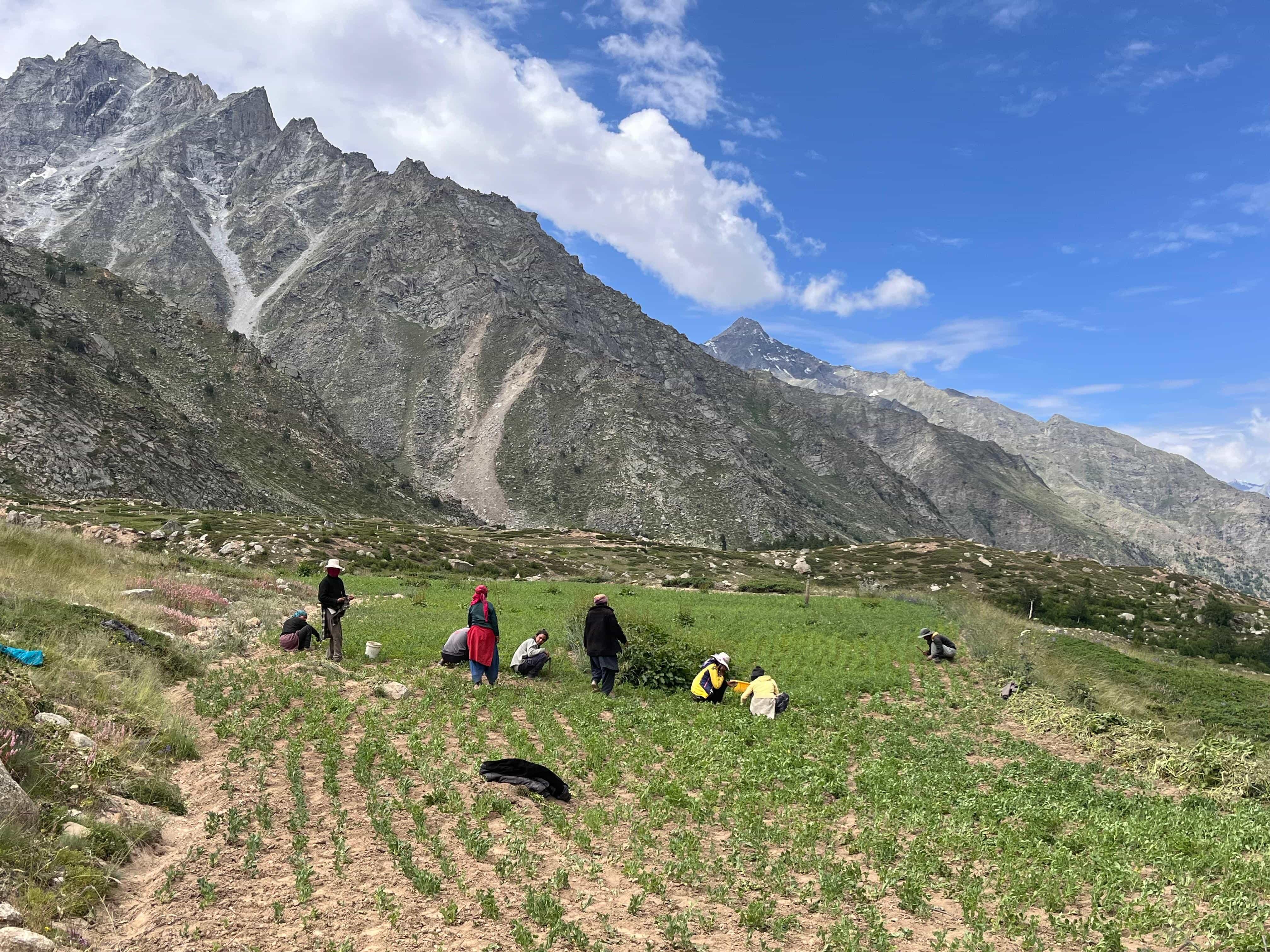
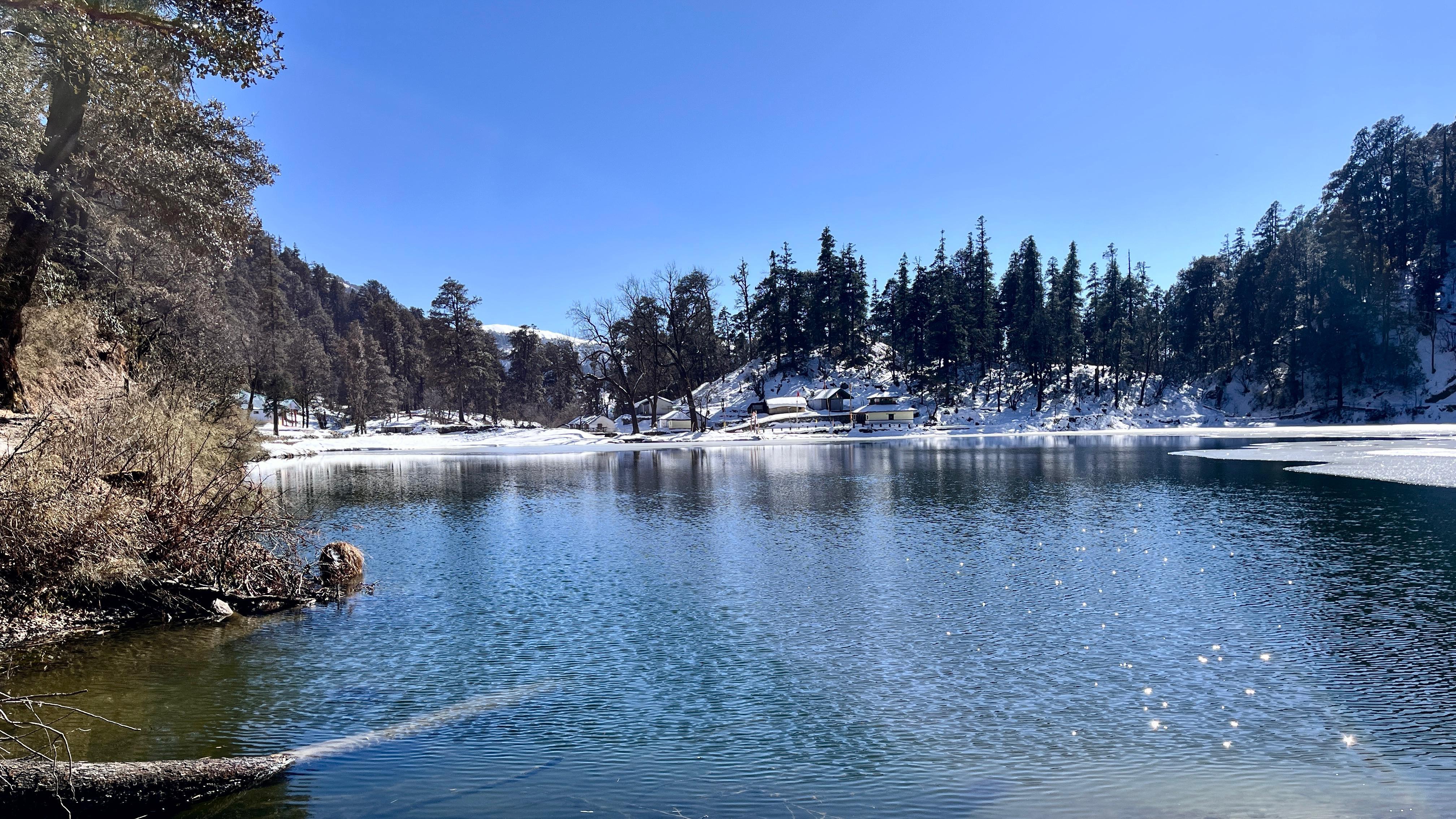
The drive follows the Pin River into Pin Valley National Park. Towering red cliffs, deep gorges, and occasional patches of green barley fields break the starkness of Spiti’s landscape. As you enter the protected zone, sightings of blue sheep or Himalayan ibex are possible. Mudh is the last village in Spiti and the gateway to your trek. A remote hamlet with traditional mud houses and Buddhist prayer flags, Mudh is also home to a nun’s monastery. Spend the afternoon walking through the village, doing a short acclimatization hike, and preparing mentally for the trail ahead.
Day 3
Mudh to Tiya
Trek Distance – ~4 km
Time – 2–3 hours
Elevation Profile – 12,467 ft to 13,300 ft
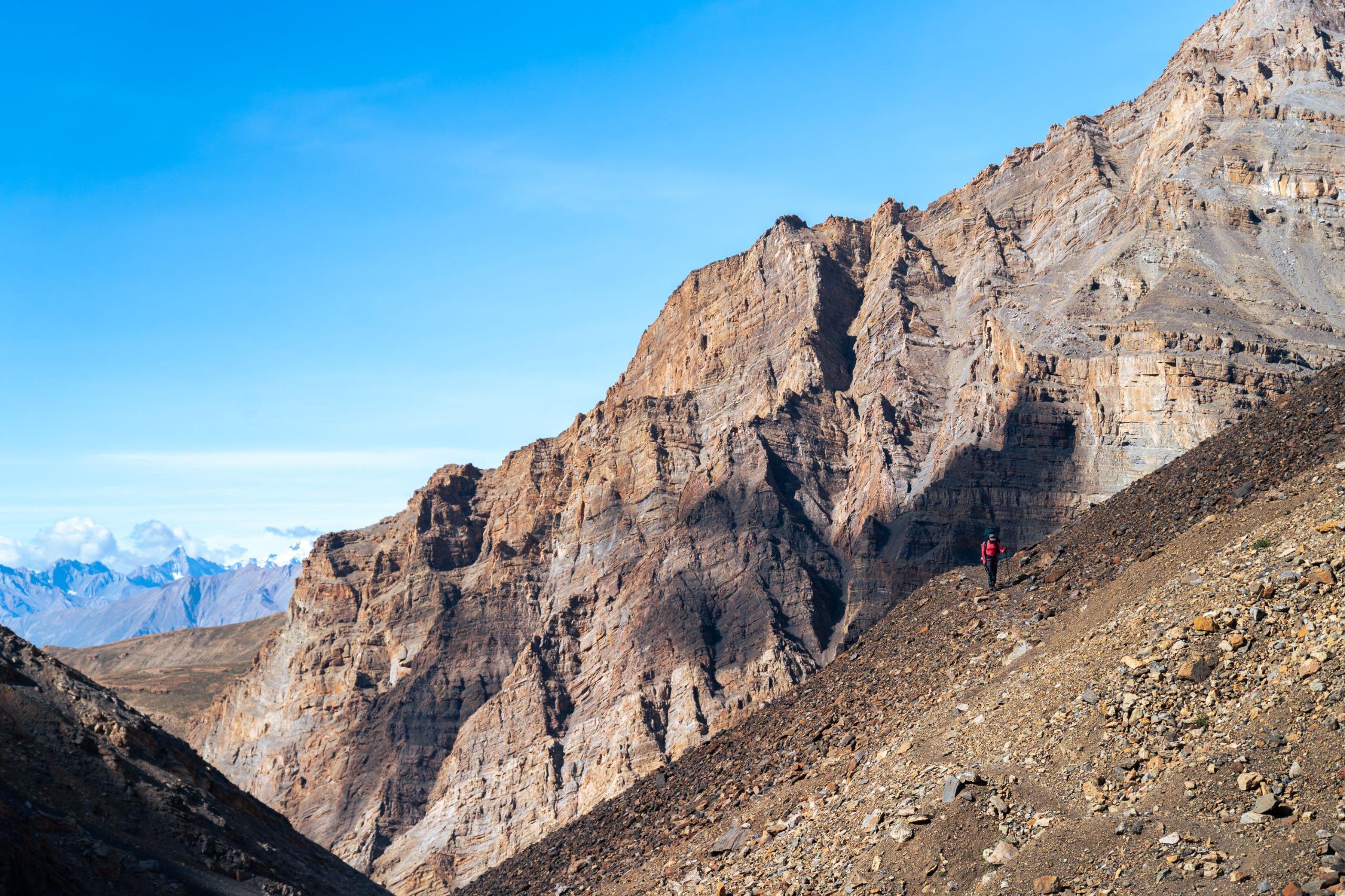
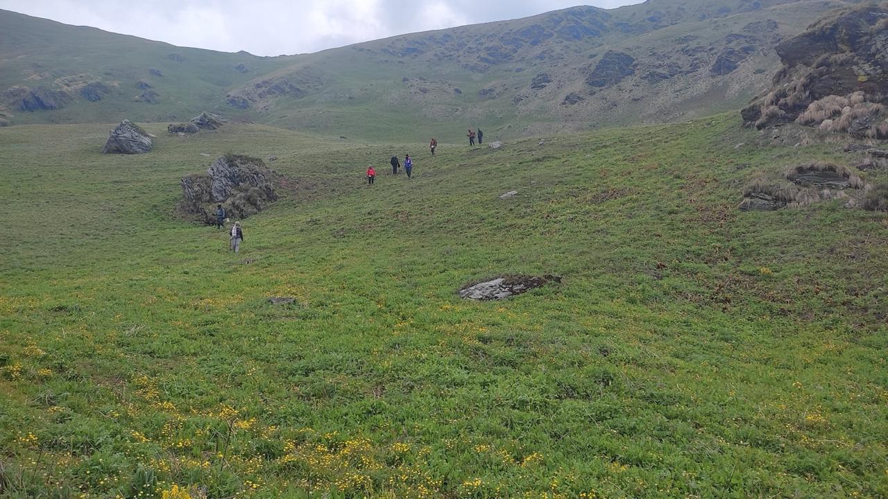
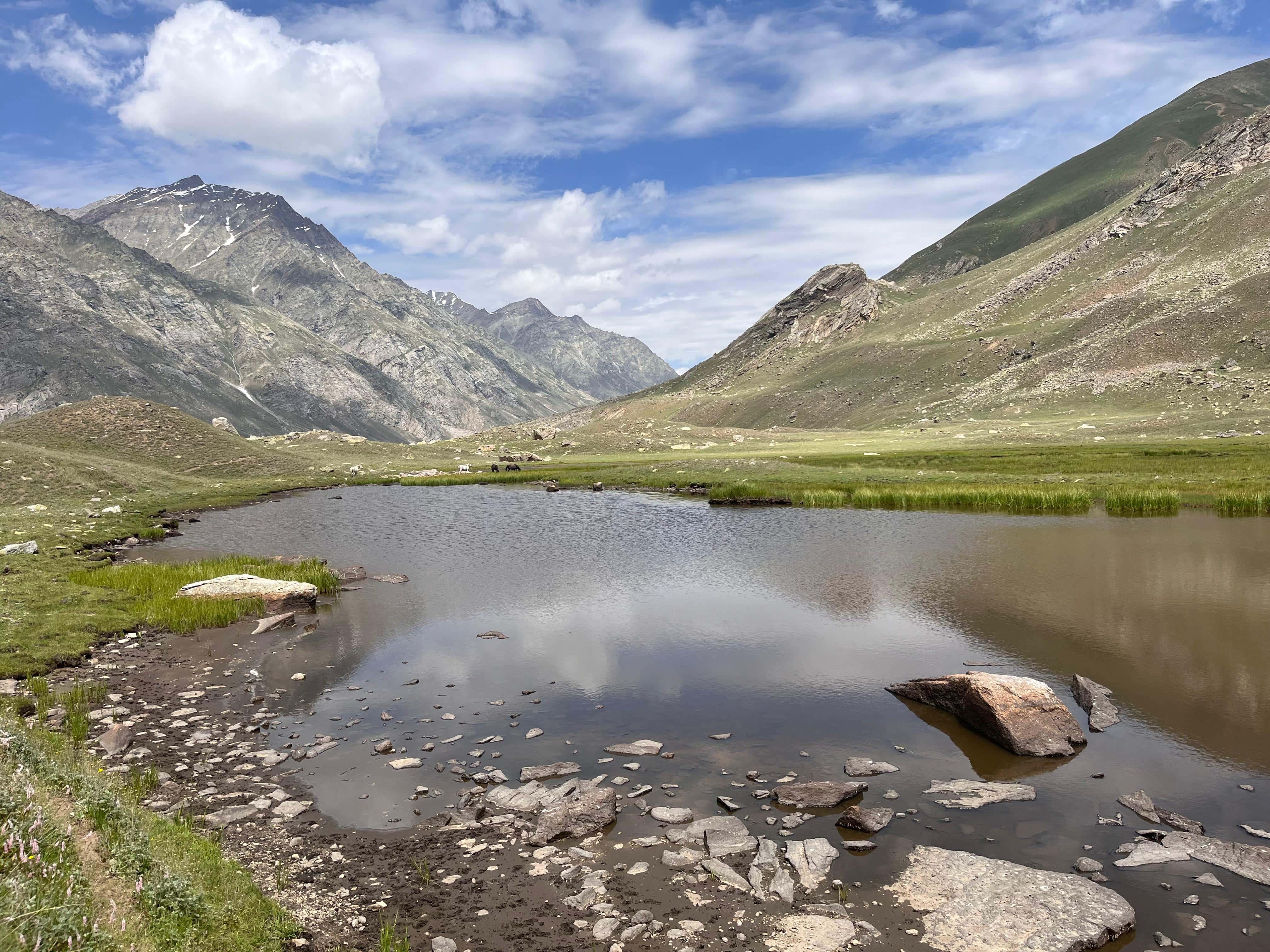
The trail begins by crossing a wooden bridge over the Pin River, followed by a gradual walk along glacial streams and rocky riverbeds. The route is wide but barren—dominated by loose stones, scree, and distant snow-capped peaks. Marmots occasionally scurry through the valley, and raptors hover overhead. Tiya is a sparse meadow tucked beside the river, offering stunning views of reddish cliffs and rugged ridgelines. The camp here marks the first night of complete isolation from roads or villages.
Day 4
Tiya to Shiya
Trek Distance – ~7 km
Time – 5–6 hours
Elevation Profile – 13,300 ft to 14,100 ft
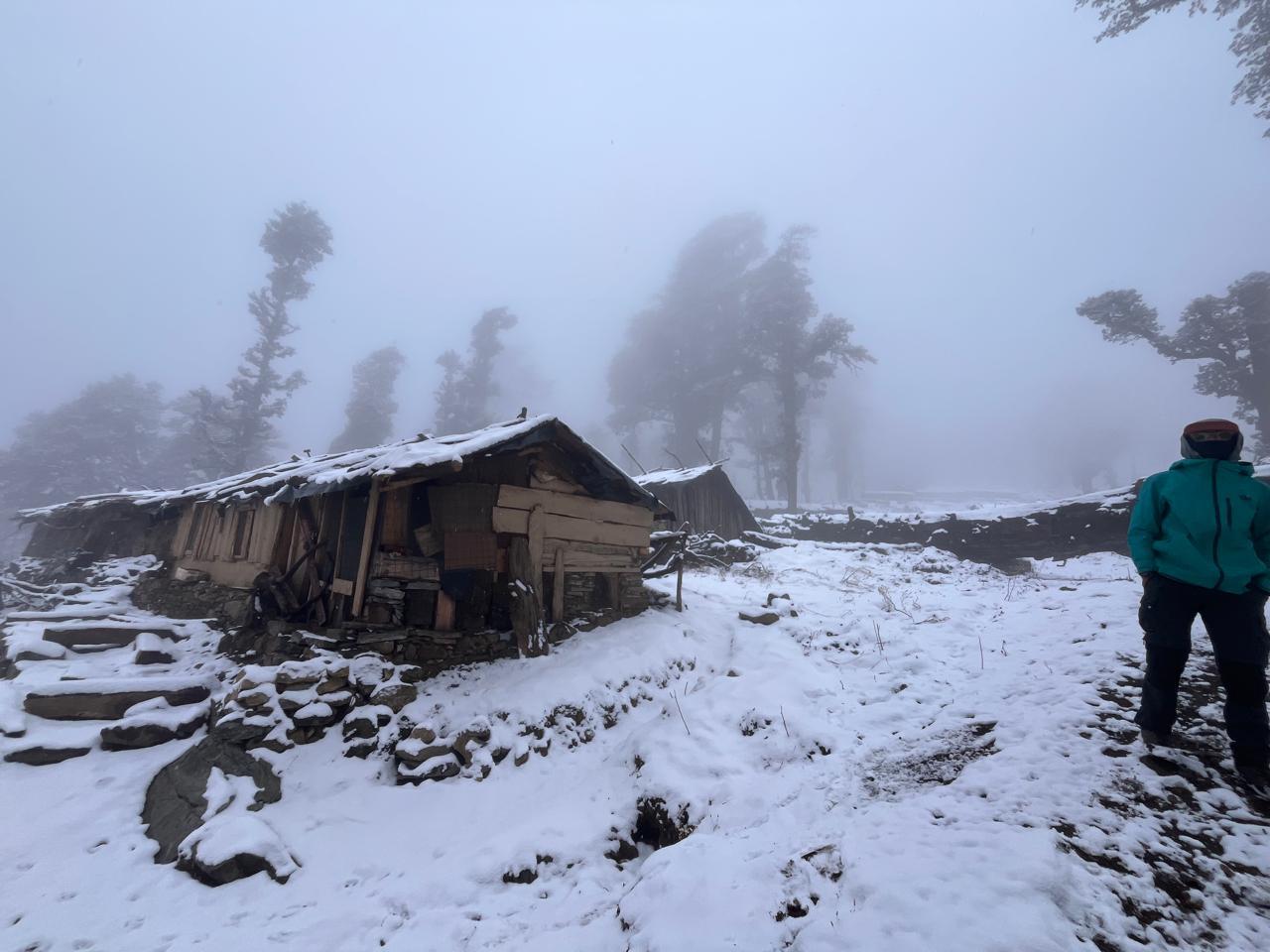
The trail narrows as you enter a deeper canyon with eroded, stratified walls. Expect challenging terrain involving stream crossings, boulder fields, and sections of lateral moraine. The route involves traversing the river multiple times and requires caution due to unstable rocks and sudden weather changes. Shiya is a rocky, sloped campsite surrounded by towering cliffs. It is one of the most remote camps of the trek, with no vegetation and a strong sense of wilderness.
Day 5
Shiya to Pin Base Camp
Trek Distance – ~5 km
Time – 5–6 hours
Elevation Profile – 14,100 ft to 15,500 ft
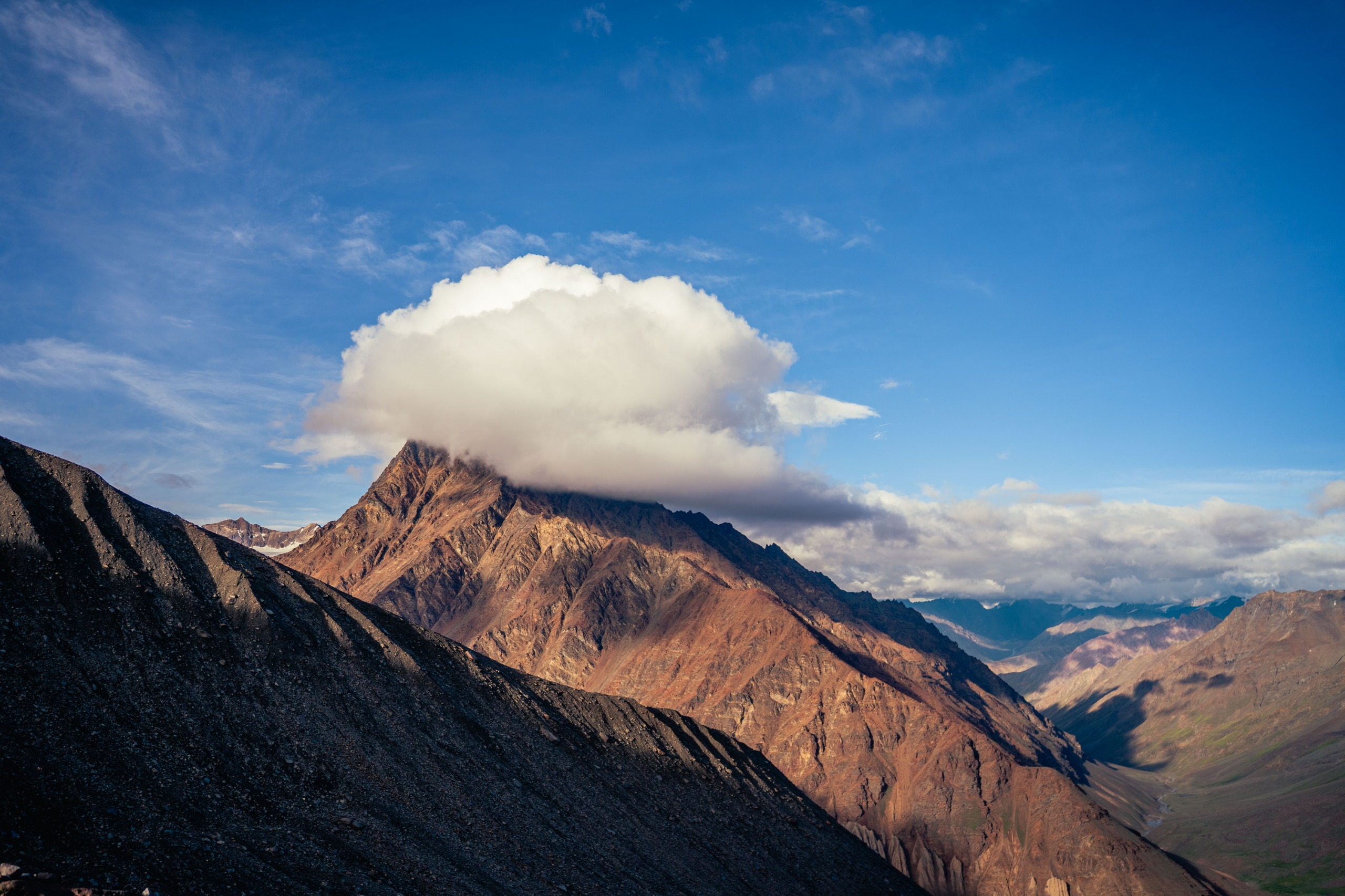
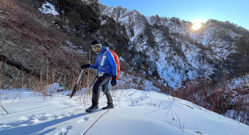
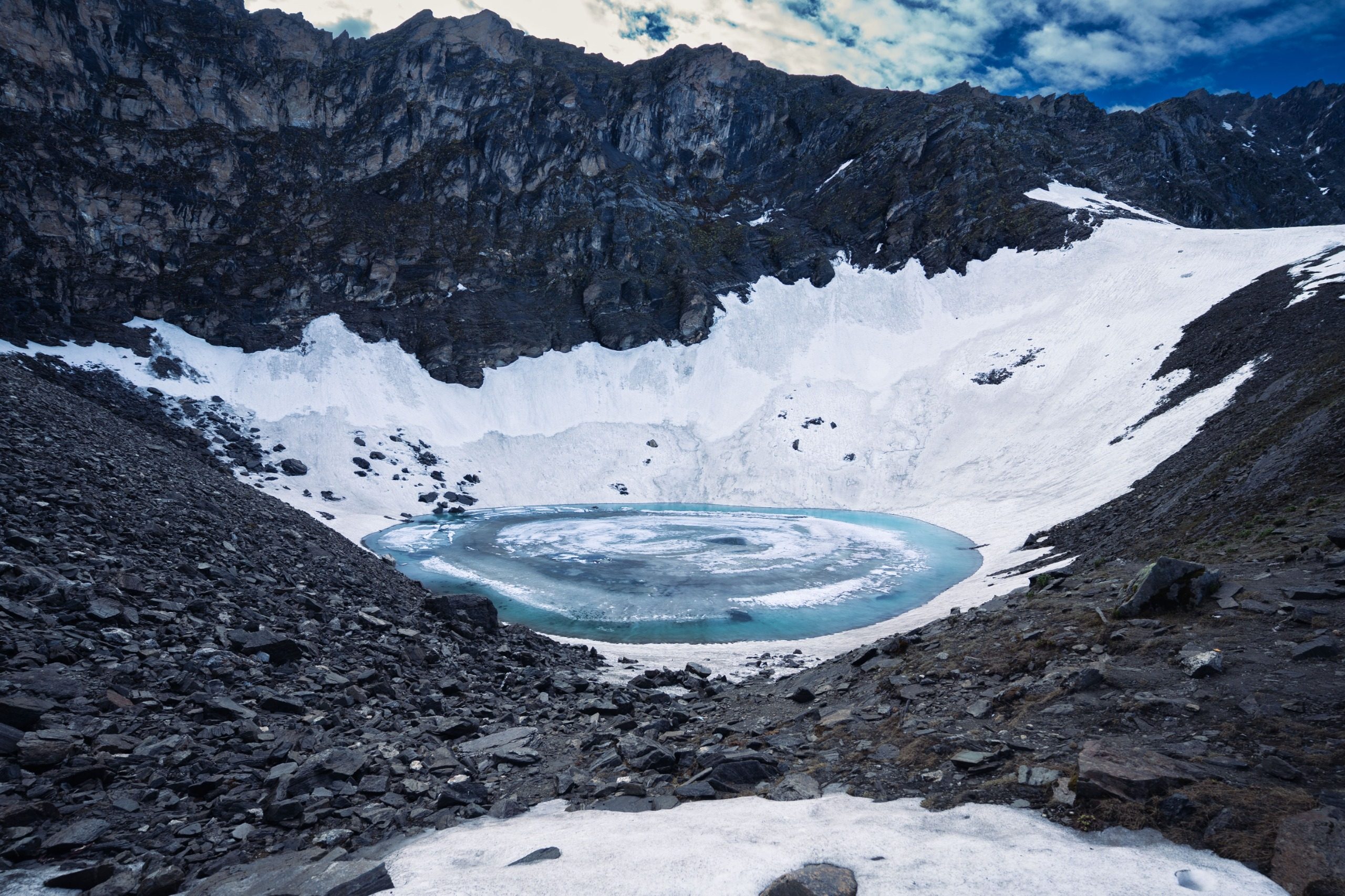
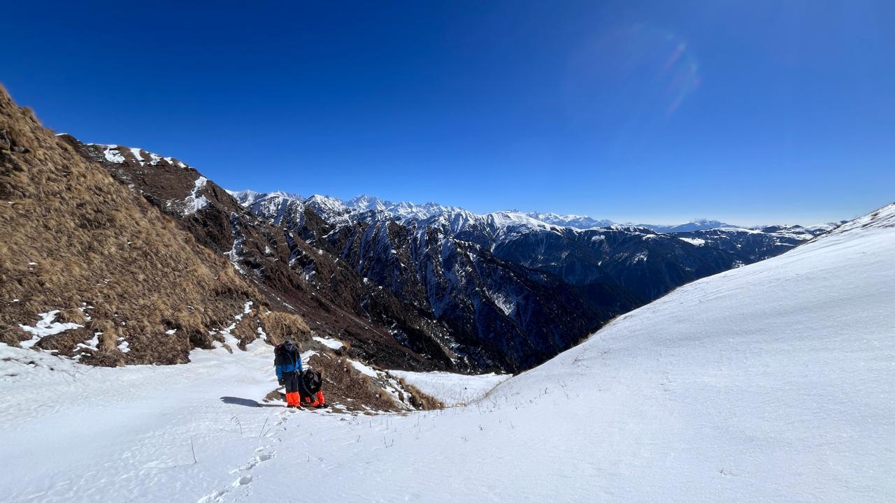
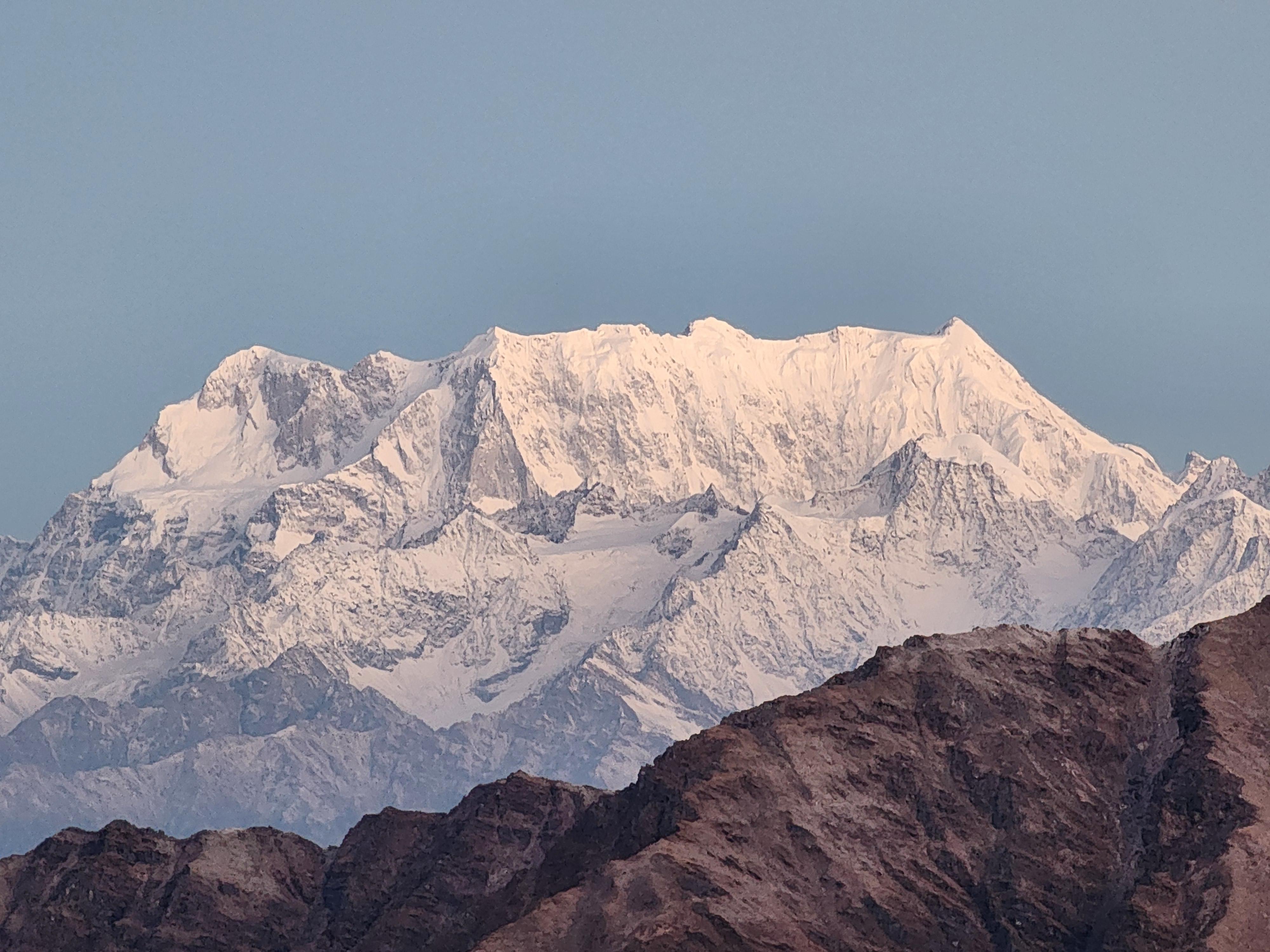
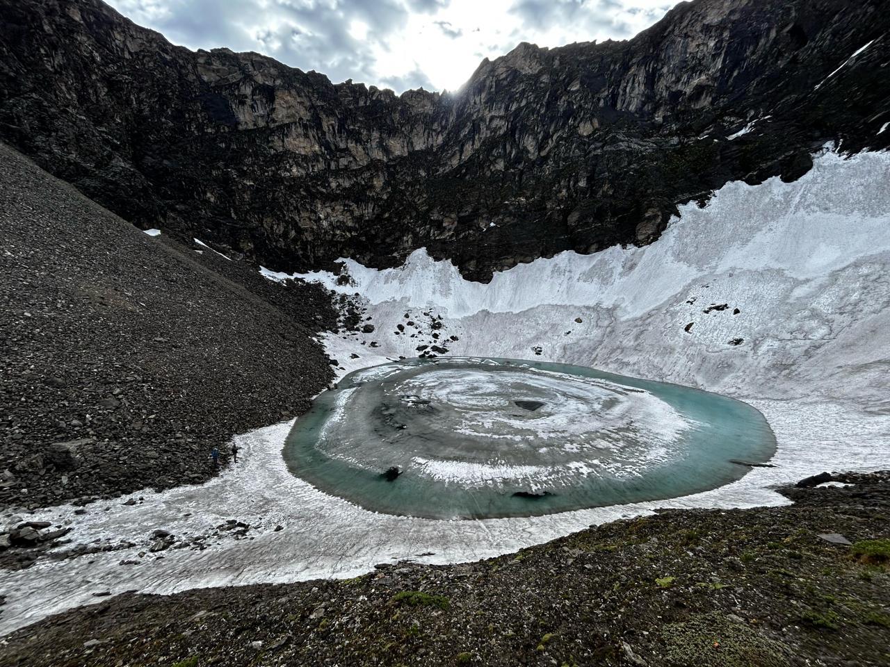
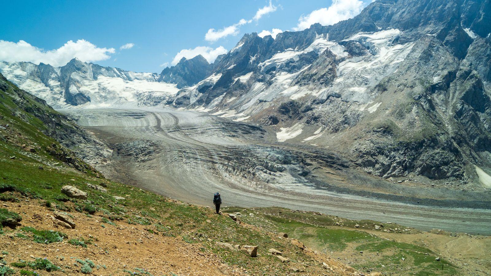
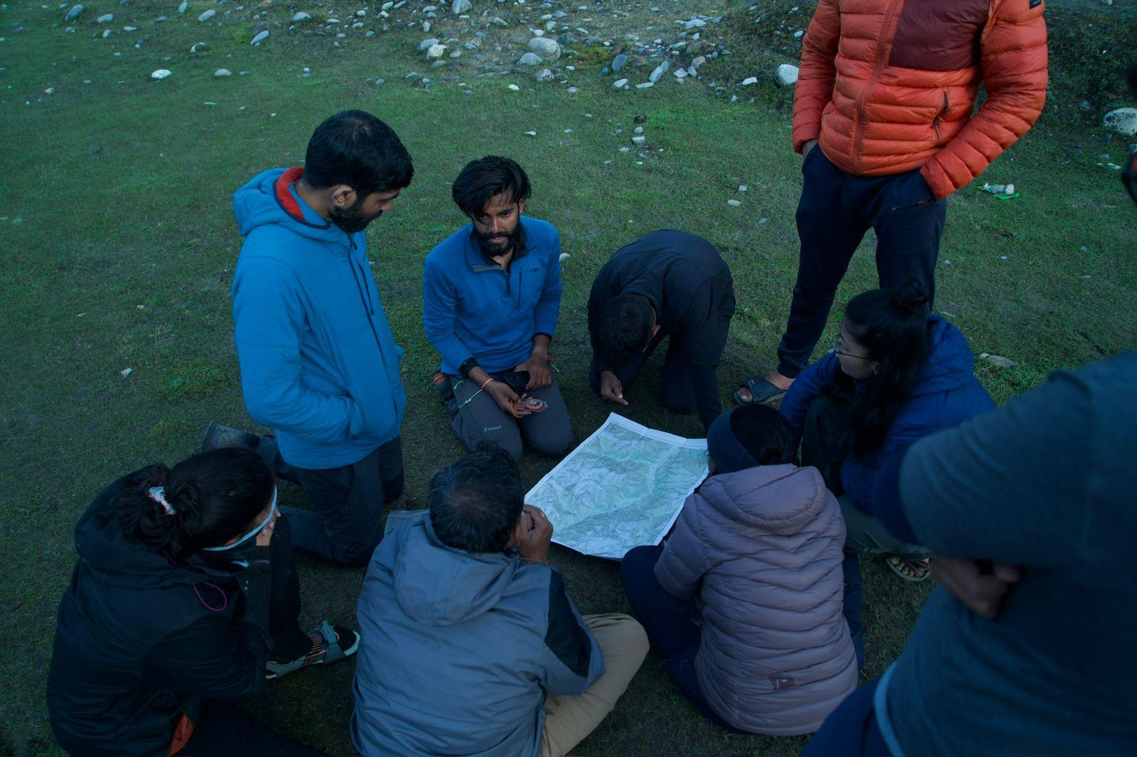
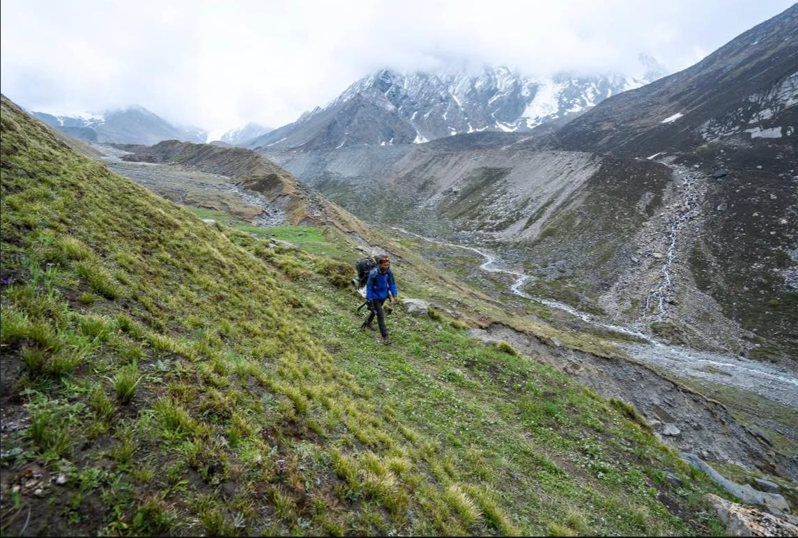
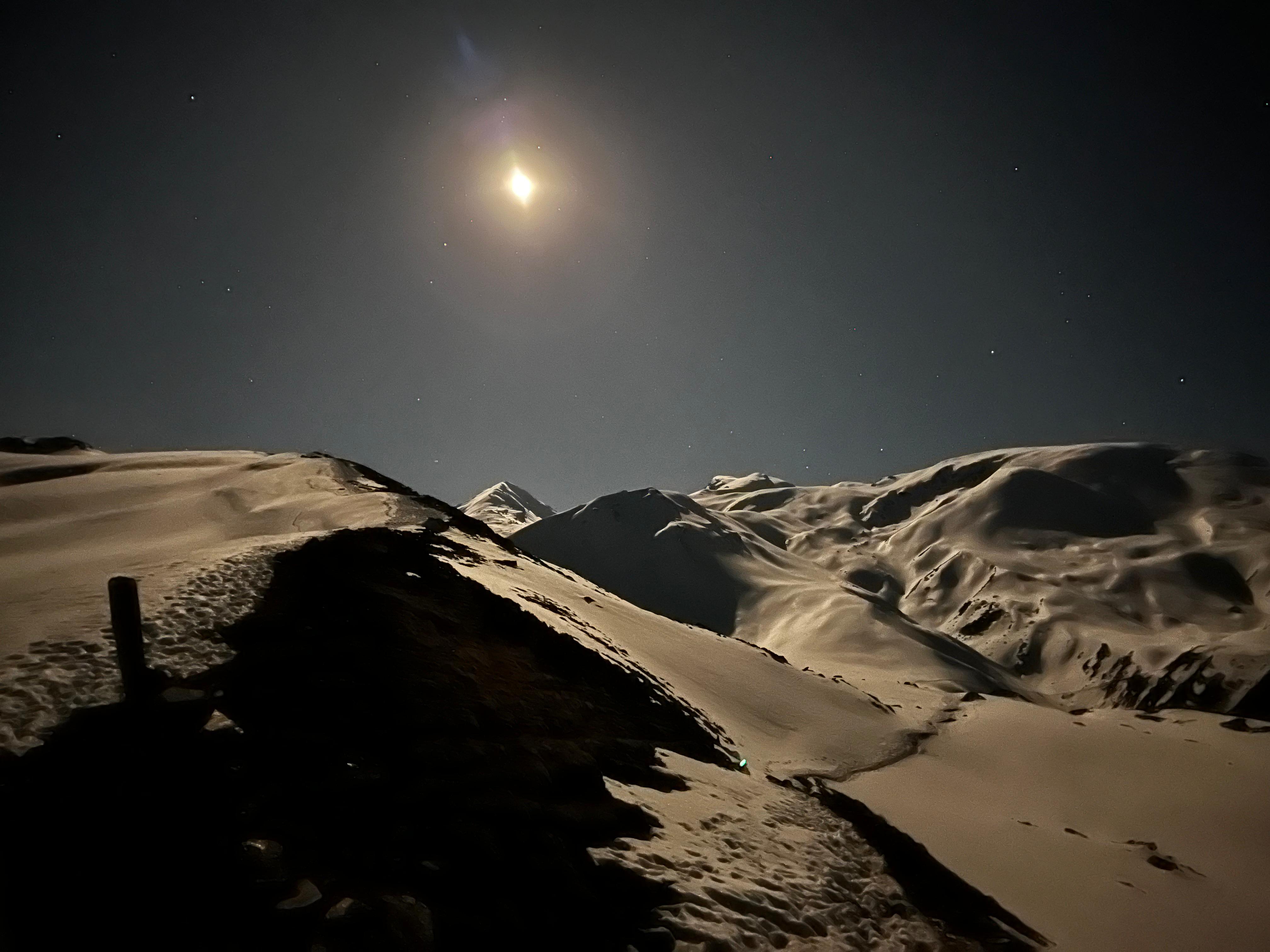
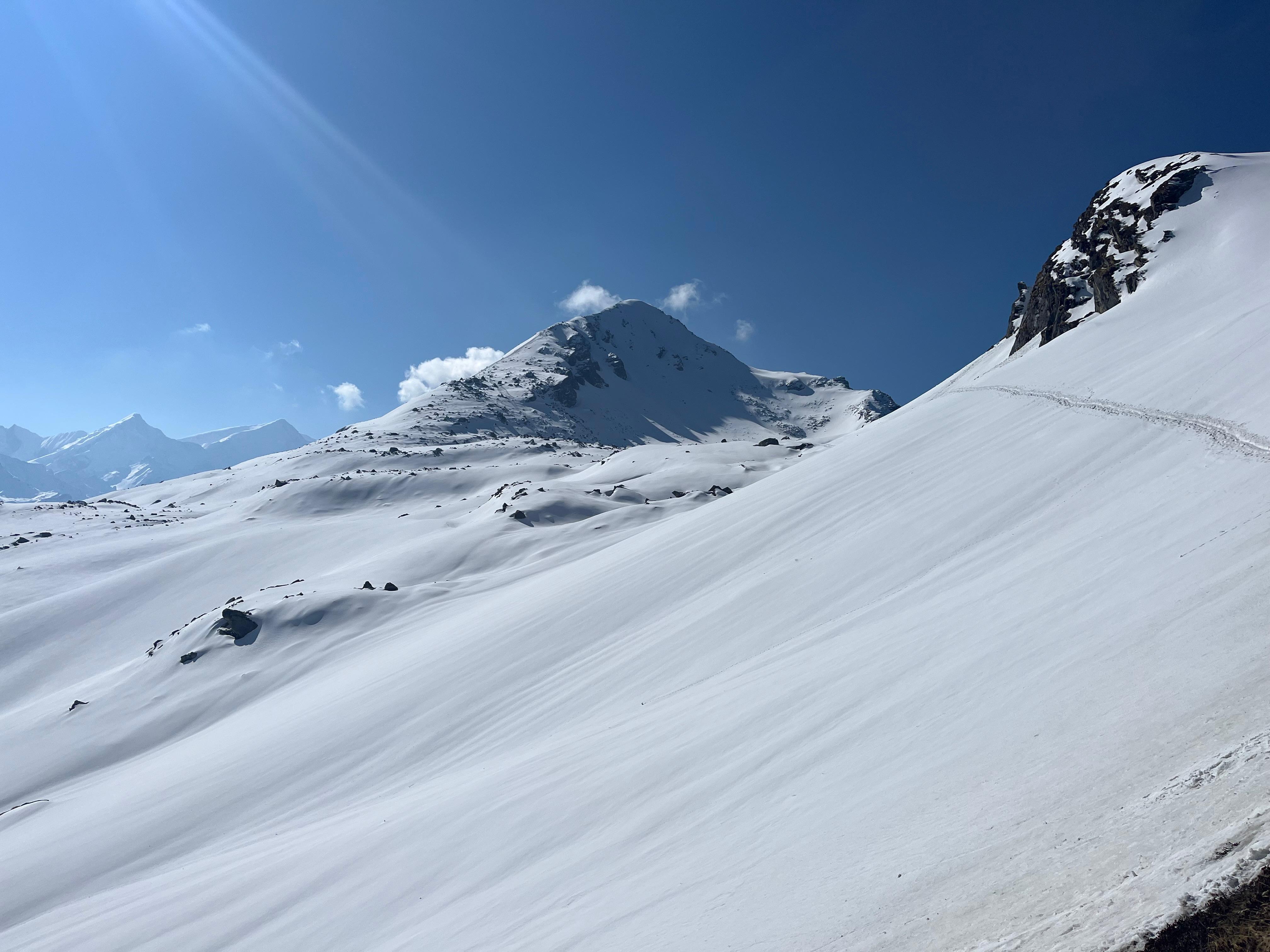
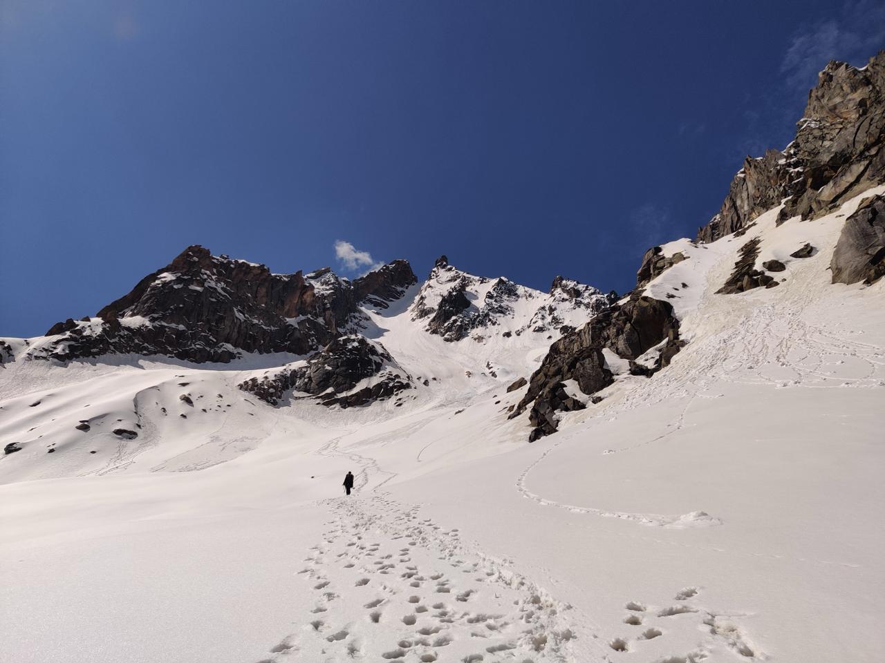
This day is short in distance but demanding in terrain. As you gain altitude, the landscape becomes increasingly glaciated. Cross glacial streams, steep scree sections, and patches of permanent snow. The winds pick up here, and temperatures drop significantly. Pin Base Camp lies beneath a hanging glacier and offers expansive views of snowfields stretching toward the pass. You will spend the evening here prepping for the summit attempt—practicing snow-walking, crampon use, and ropework.
Day 6
Pin Base Camp to Mantalai via Pin Parvati Pass
Trek Distance – ~18 km
Time – 10–12 hours
Elevation Profile – 15,500 ft → 17,451 ft (Pin Parvati Pass) → 13,700 ft (Mantalai)
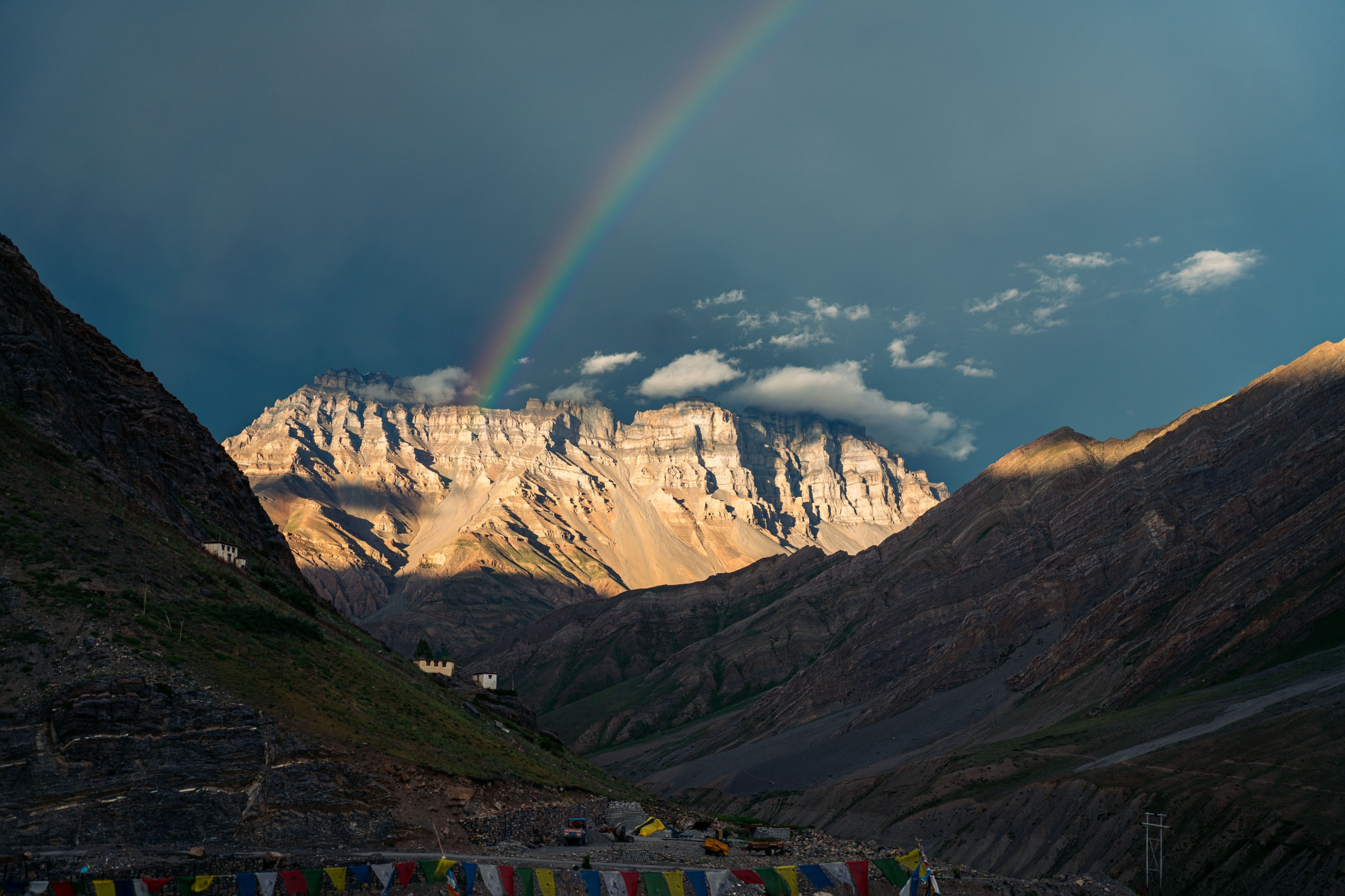
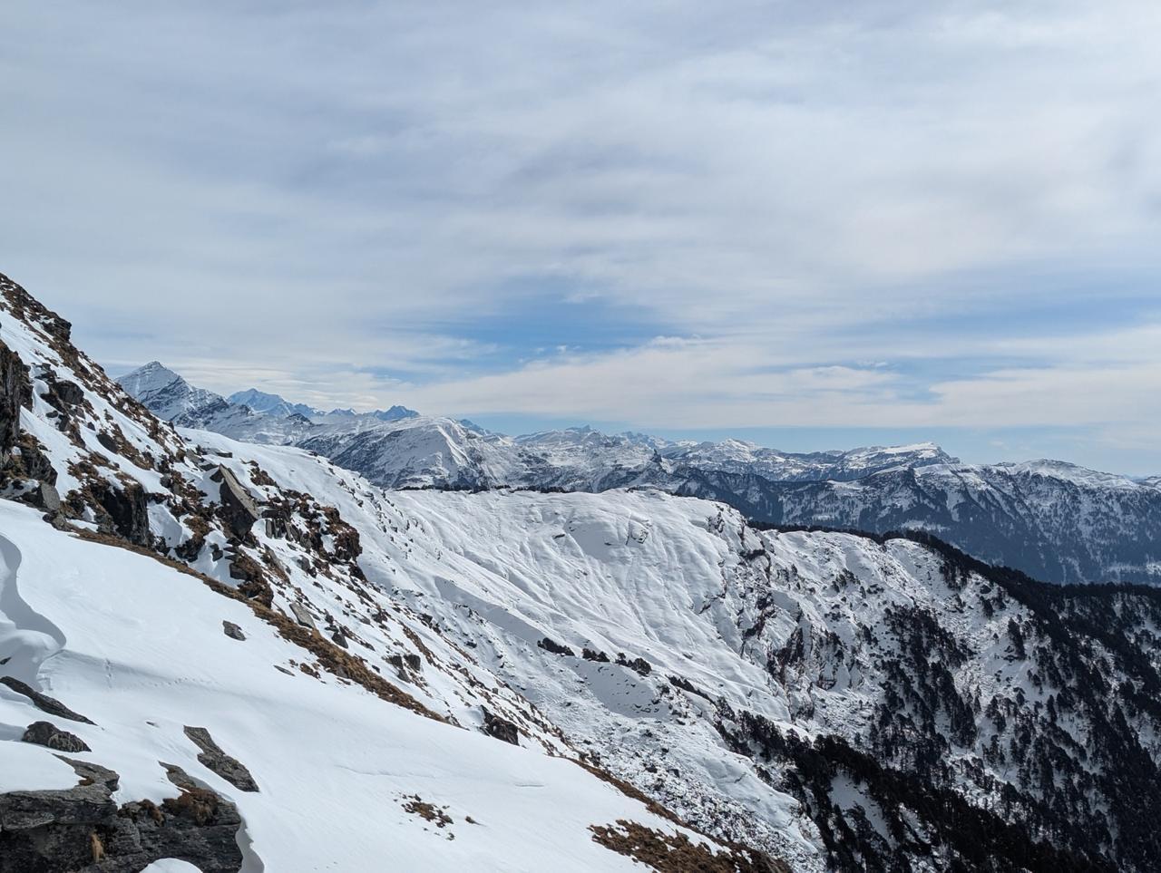
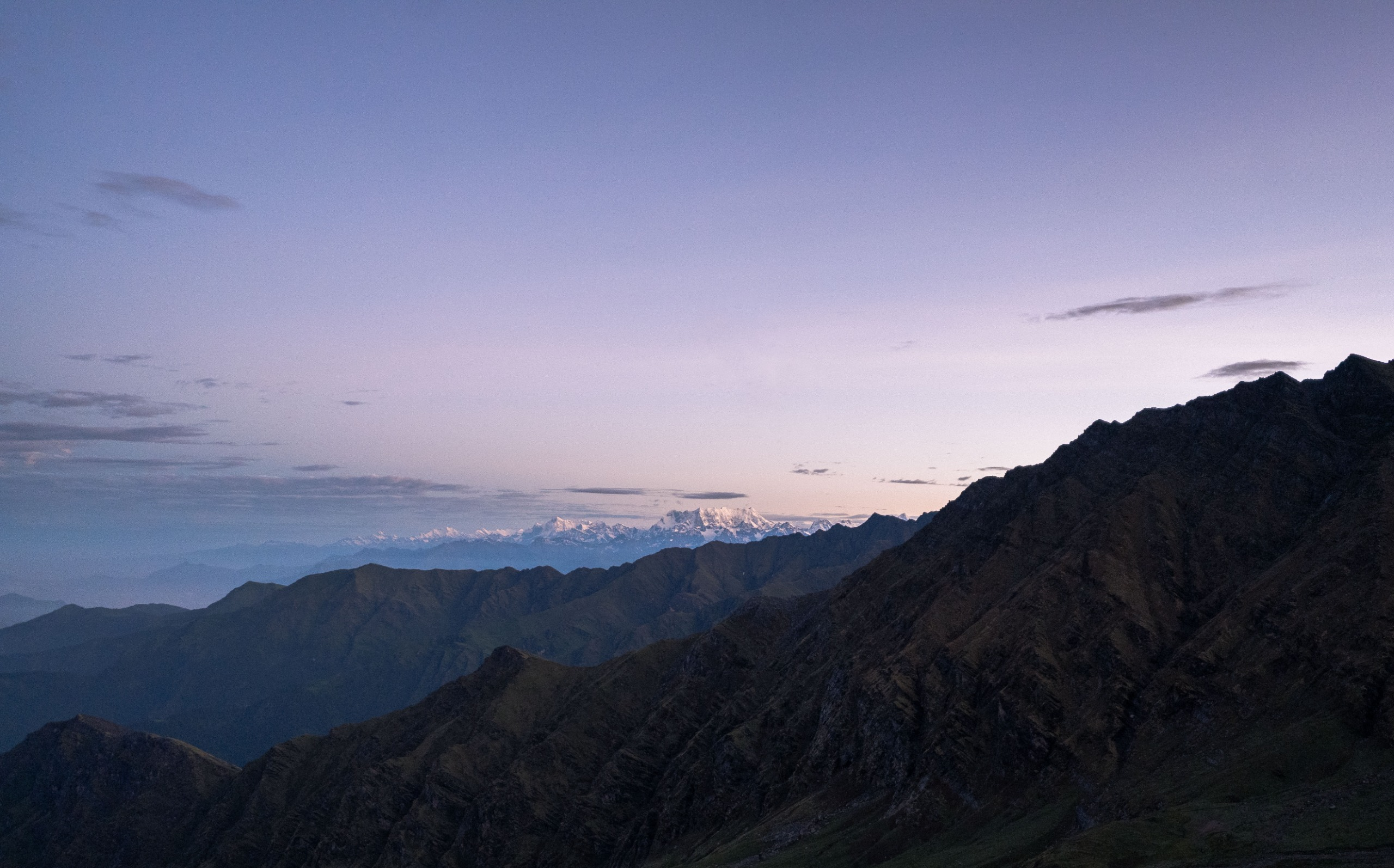
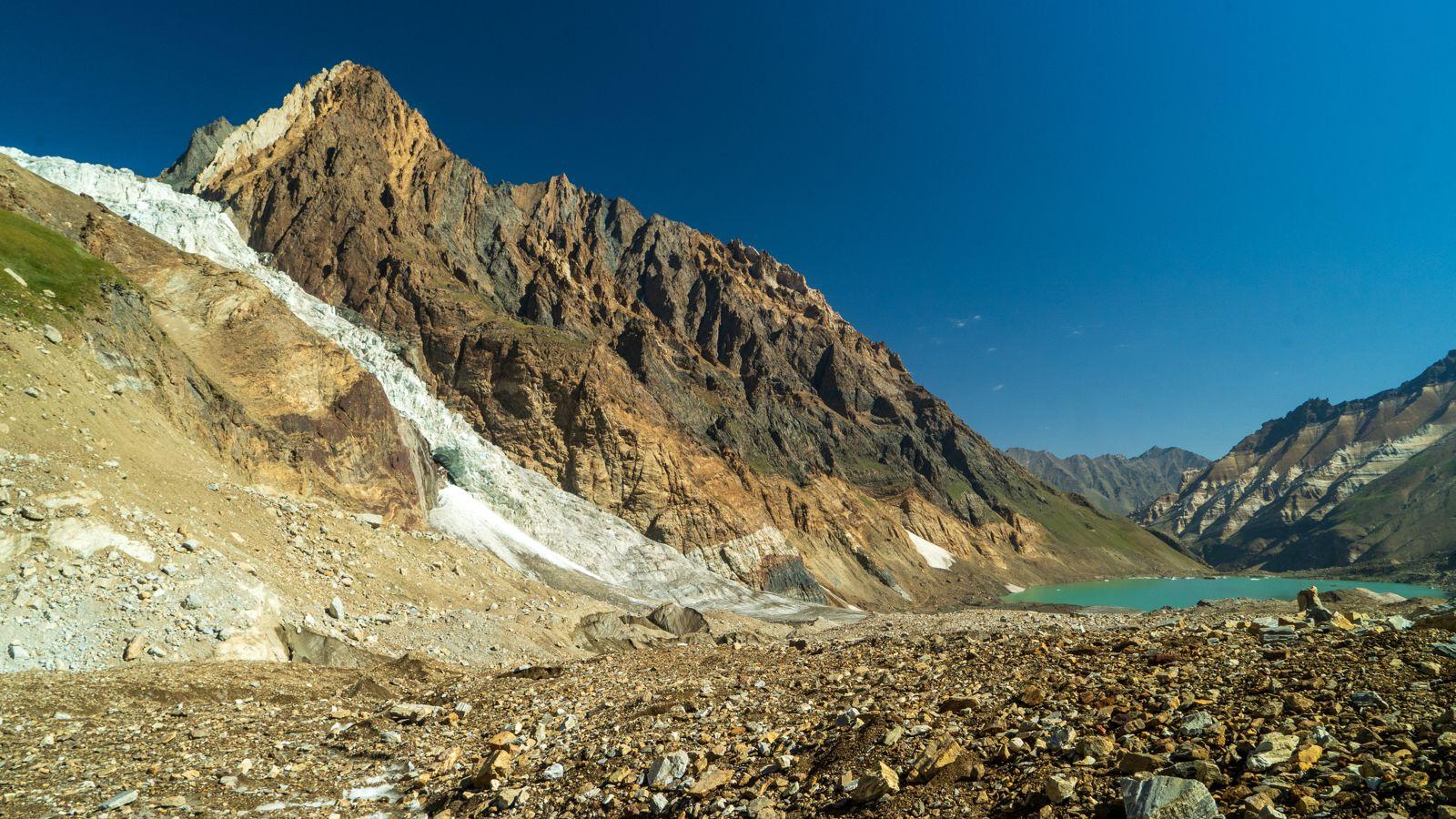
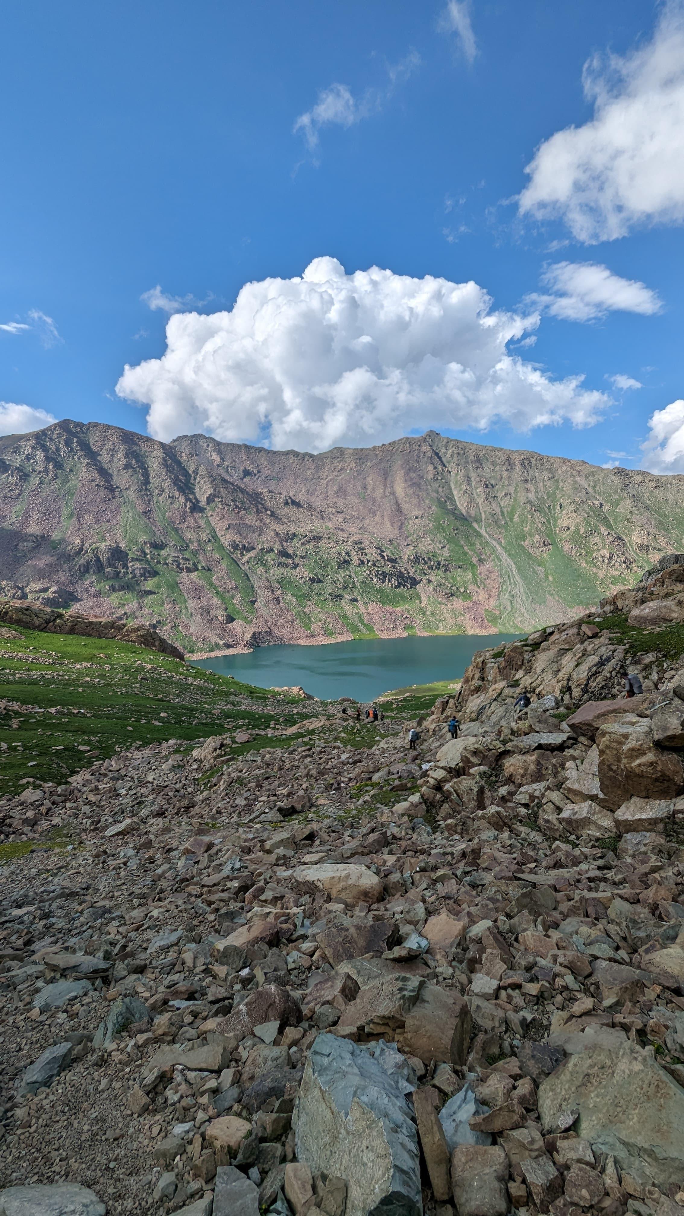
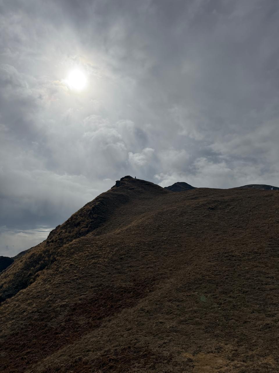
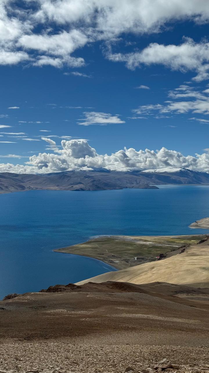
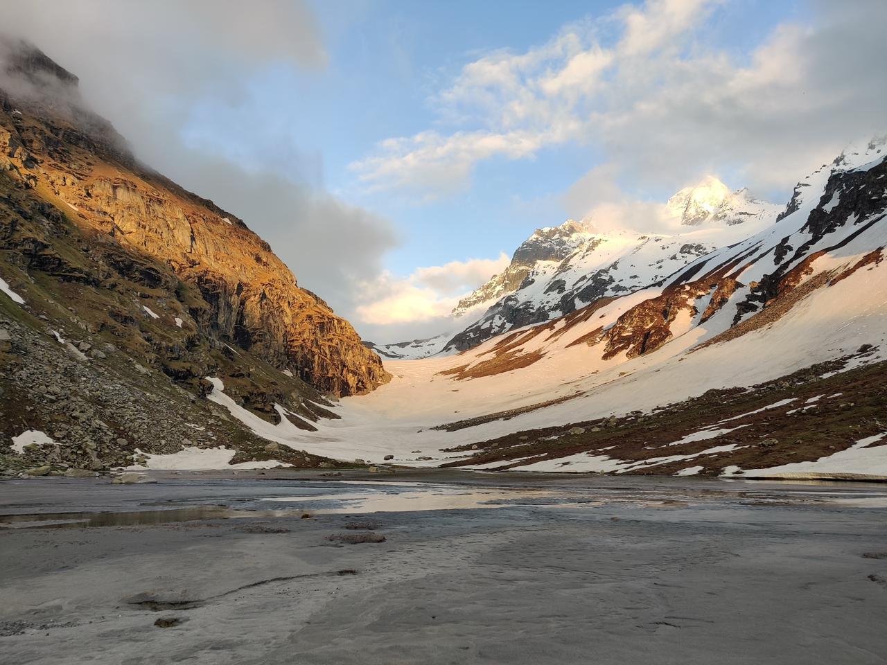
Start by 3:30 AM with headlamps on. The approach to the pass involves steep ascents across snowfields and ice bridges. Crevasse zones are negotiated using ropes in sections. Reaching the pass is a surreal moment—on one side lies Spiti’s harsh brown valleys, and on the other, the lush green cradle of Parvati Valley. After celebration and brief photography, begin the challenging descent: long stretches of moraine, glacial lakes, and slippery scree. You finally arrive at the sacred Mantalai Lake, the source of the Parvati River, marked by stone shrines and Tibetan prayer flags. The energy here is spiritual and grounding
Day 7
Mantalai to Odi Thach
Trek Distance – ~12 km
Time – 6–7 hours
Elevation Profile – 13,700 ft to 12,400 ft
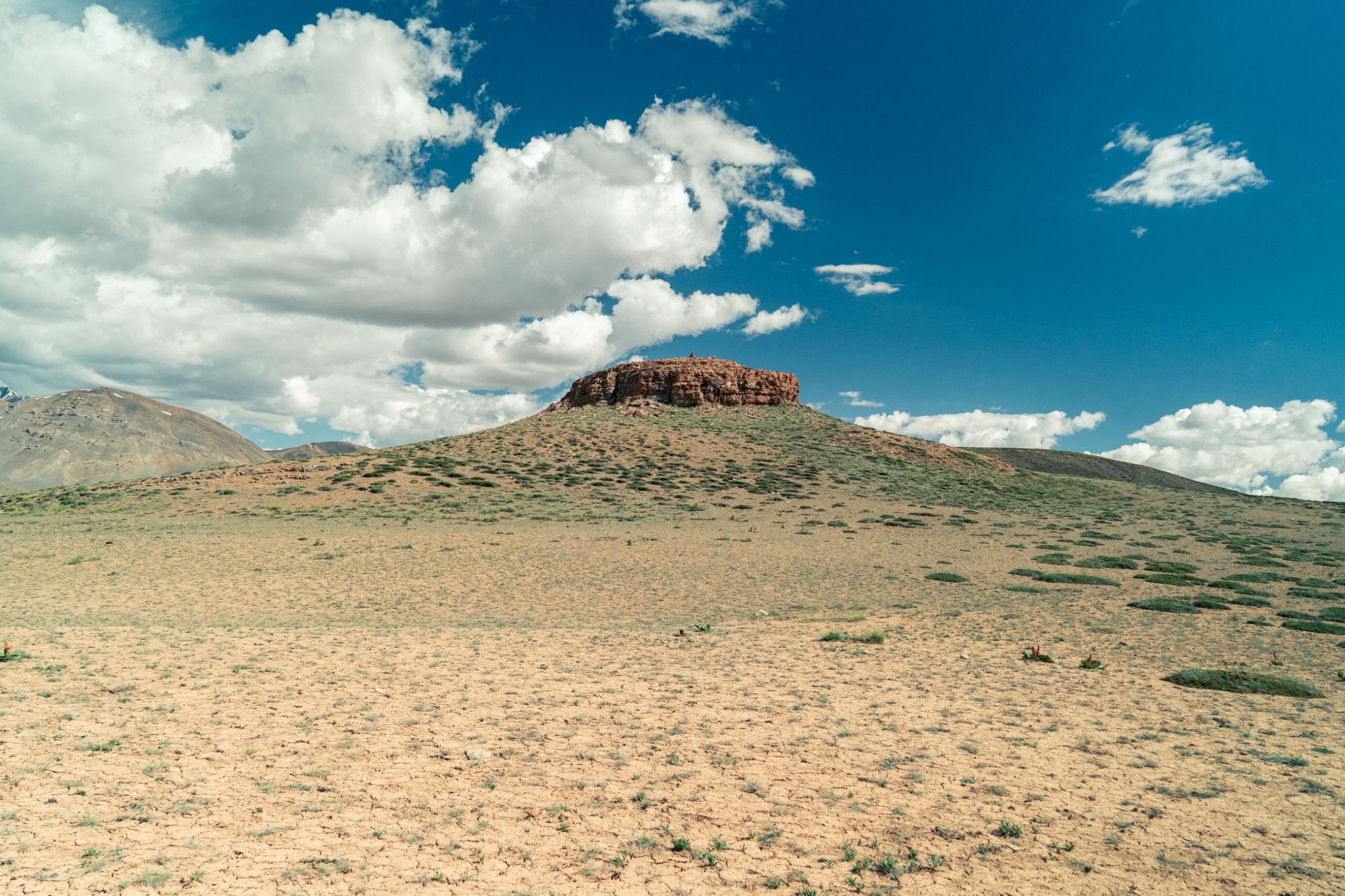
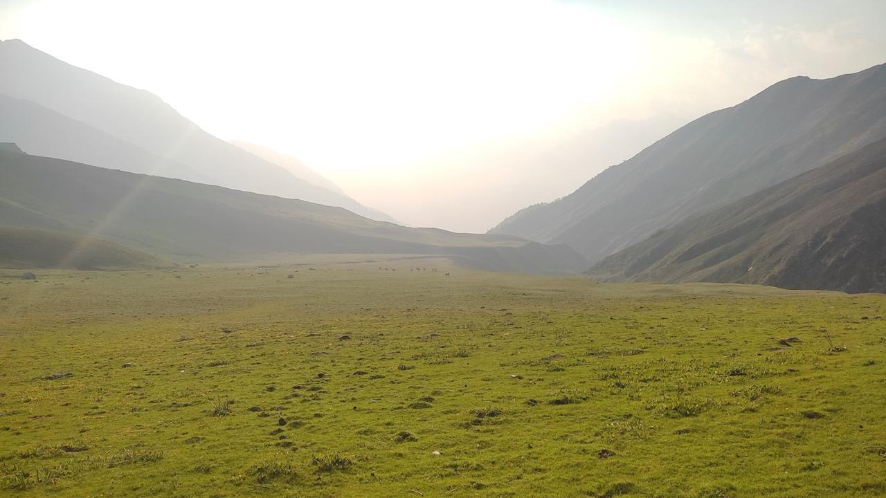
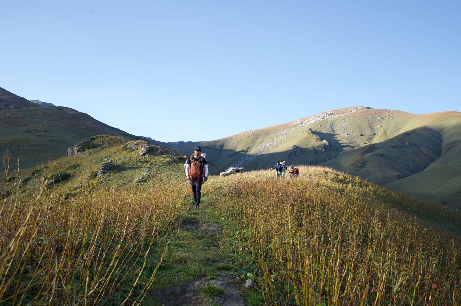
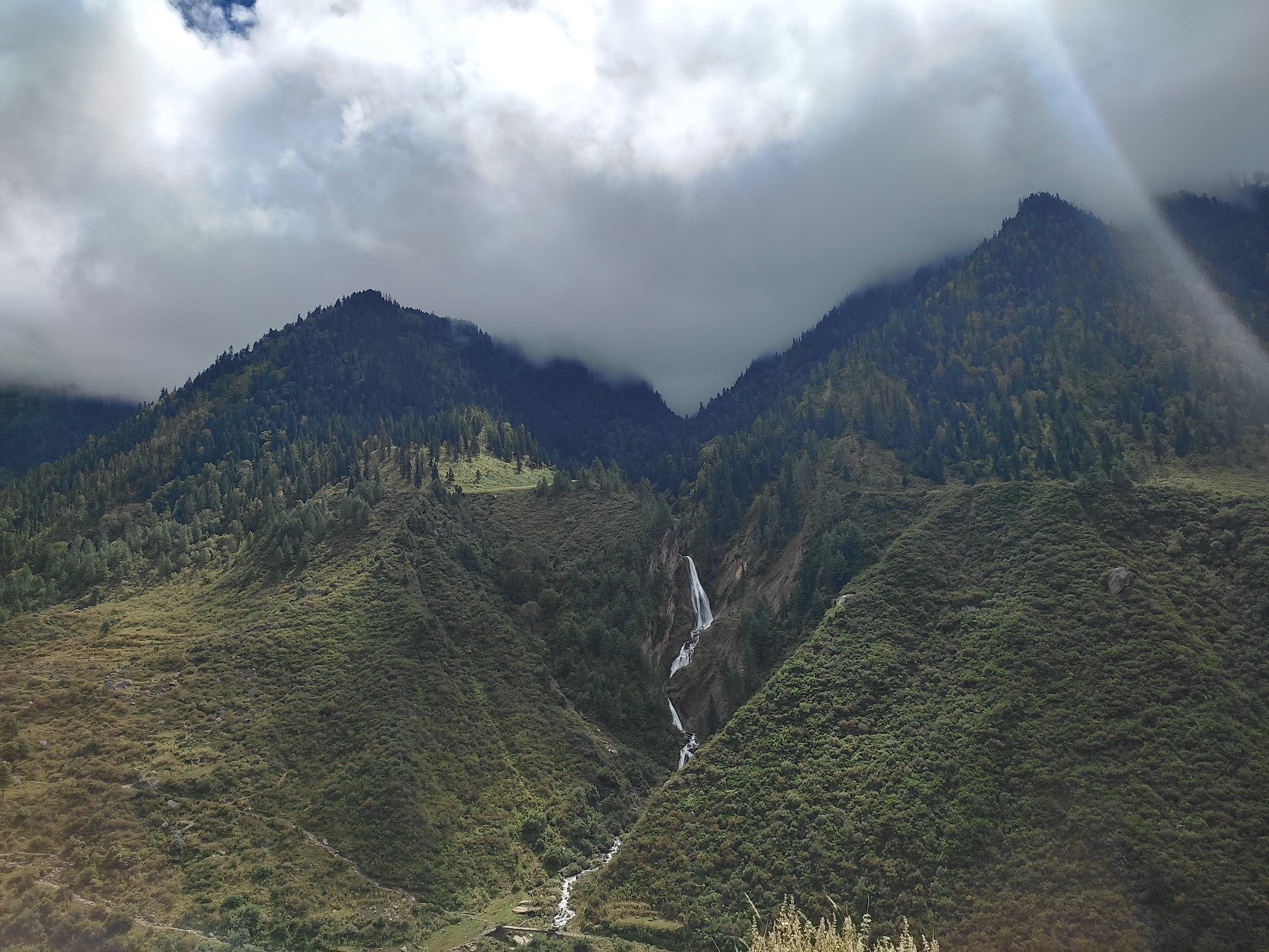
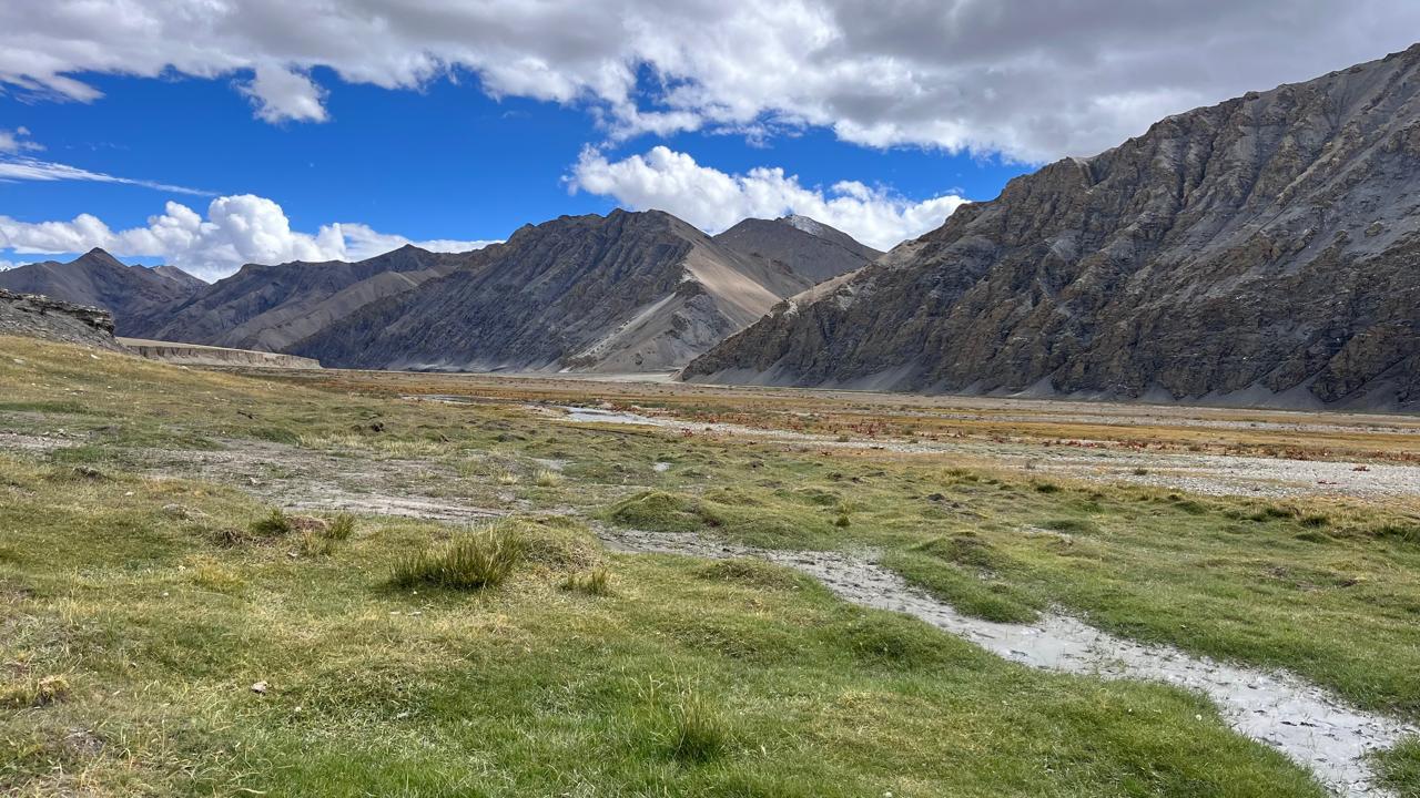
A welcome shift to alpine meadows and gradual descents. You cross multiple side streams, walk past blooming patches of blue poppies and gentians, and spot shepherd settlements in the distance. The route weaves through grassy knolls and marshy patches. Odi Thach is a beautiful pastureland framed by snow-dusted cliffs and a wide bend in the Parvati River. It serves as a traditional camping ground for local gaddis and trekkers alike.
Day 8
Odi Thach to Tundabhuj
Trek Distance – ~13 km
Time – 6–7 hours
Elevation Profile – 12,400 ft to 10,500 ft
Enter the tree line today. You pass through birch groves, thick rhododendron shrubs, and massive granite boulders. The air becomes richer with moisture, and the terrain more forgiving. There are narrow wooden bridges over gushing side-streams and open ridges offering valley-wide views. Tundabhuj is a lush clearing beside a stream, enclosed by cedar forests. It marks the transition from wilderness to civilization.
Day 9
Tundabhuj to Pulga. Onwards to Barshaini
Trek Distance – ~10 km
Time – 4–5 hours
Elevation Profile – 10,500 ft to 8,200 ft
A short and enjoyable descent through a well-marked trail. You’ll pass quaint wooden houses, small temples, and fields of wild cannabis. The Parvati River accompanies you with its gurgling energy. Soon you re-enter Pulga—a tiny, eccentric village with Israeli cafés, German bakeries, and relaxed backpacker vibes. You’ve officially crossed from the trans-Himalaya into the green heart of Kullu.
From here, the roadhead is just a short hike.
Our Expectations from the participants :
- Experience: At least one high-altitude trek above 14,000 ft, preferably with glacier or moraine exposure.
- Fitness: Carry 10 kg pack, walk 12–15 km/day in altitude.
- Resilience: Handle cold, fatigue, and remote camping without mobile network.
- Medical Clearance: Required for pre-existing conditions (heart, lungs, blood pressure).
Inclusion
Exclusion
SELECT DATE TO REGISTER
Thank You!
Your form has been submitted successfully. We'll get back to you soon.
₹ 28,499 + 5% GST