

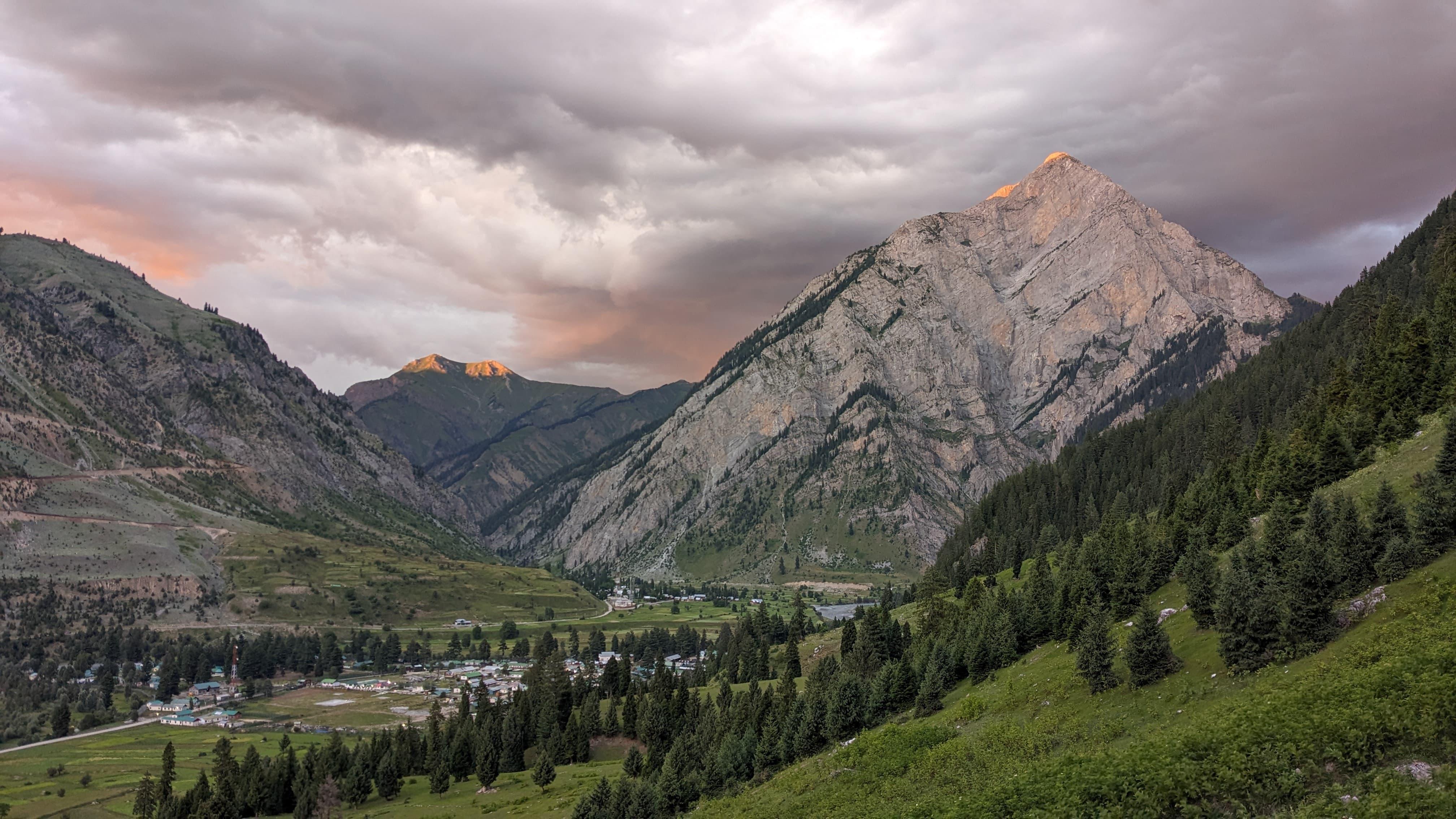
The Ronti Saddle Trek is a rare, lesser-explored alpine route tucked deep in the Garhwal Himalayas of Uttarakhand, offering a blend of high-altitude challenge, spiritual legacy, and wilderness solitude. The saddle itself is a high mountain pass that lies cradled between two famed Himalayan giants—Nanda Ghunti and Trishul—creating a natural amphitheater that unveils an unbroken panorama of the Garhwal’s tallest peaks.
Historically, Ronti Saddle gained attention as part of early explorations in the Nanda Devi outer sanctuary. The sanctuary—now a UNESCO World Heritage Site—was once one of the most inaccessible regions in the world. Explorers and cartographers in the early 20th century used Ronti Saddle as a vantage point to better understand the hidden valleys around Nanda Devi. The trek route also passes through Bagubassa (also called Bhagwabasa), part of the famed Roopkund trail, a region steeped in folklore owing to the discovery of ancient skeletons at the glacial lake. From the mystical forests of Didina to the icy grandeur of Sheela Samudra and the wilderness of Dodang, the trail evolves through distinct ecosystems and spiritual geographies.
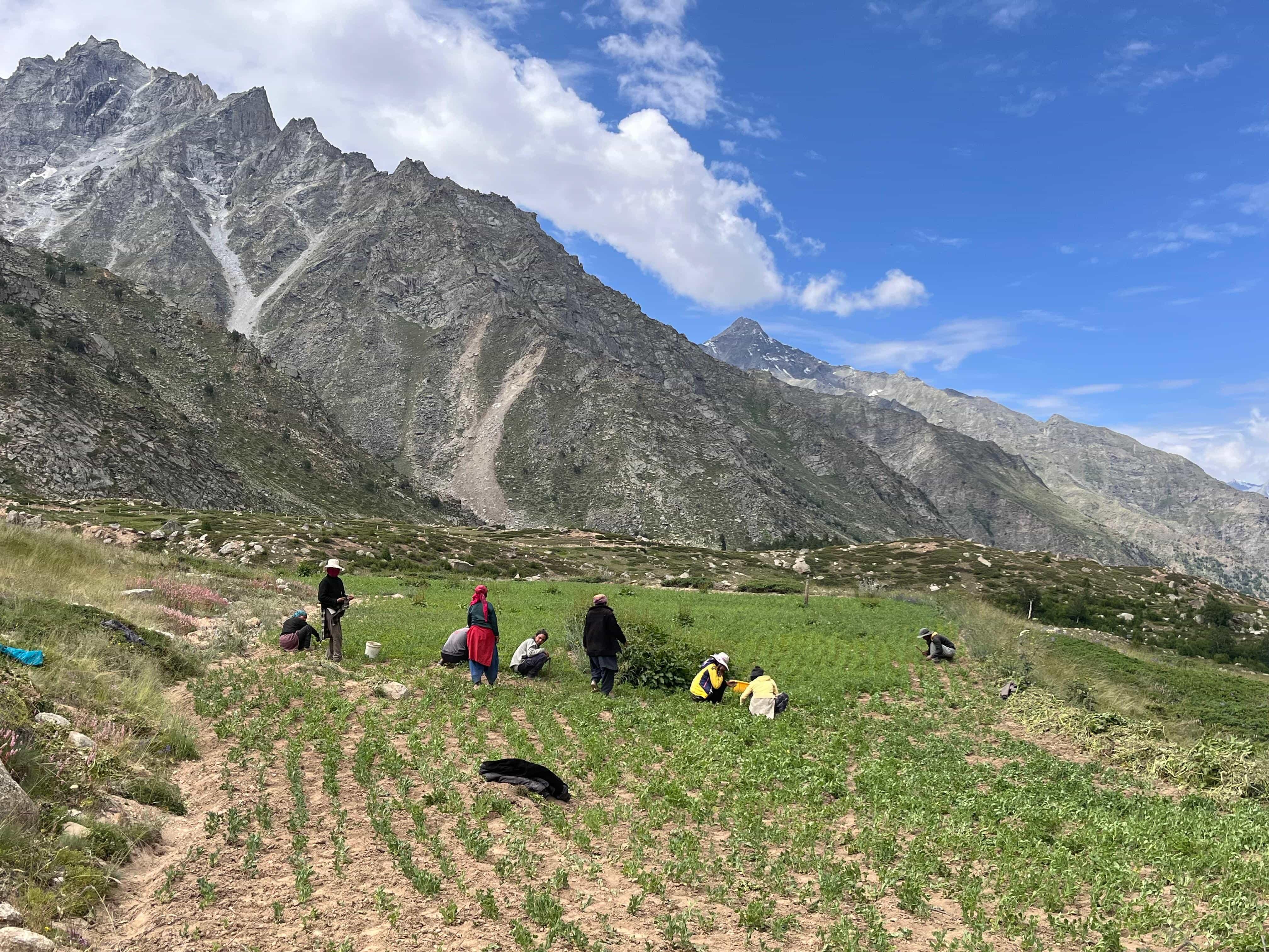
Culturally, the trail brushes past sacred pilgrimage circuits, alpine meadows where villagers take their livestock to graze in summer, and ancient trade paths. Remote villages like Sutol and Lata remain immersed in Garhwali tradition, where stories of gods, spirits, and Himalayan deities are etched into everyday life.
Ronti Saddle is not just a trek—it is a high-altitude exploration that requires commitment, preparation, and a love for solitude. For those who have tasted the Himalayas before and seek a truly immersive expedition, this journey delivers in awe, remoteness, and beauty.
Day 1
Drive from Rishikesh to Lohajung
Drive Distance: ~260 km
Time Taken: 10–11 hours
Elevation Profile: 1,100 ft to 7,660 ft
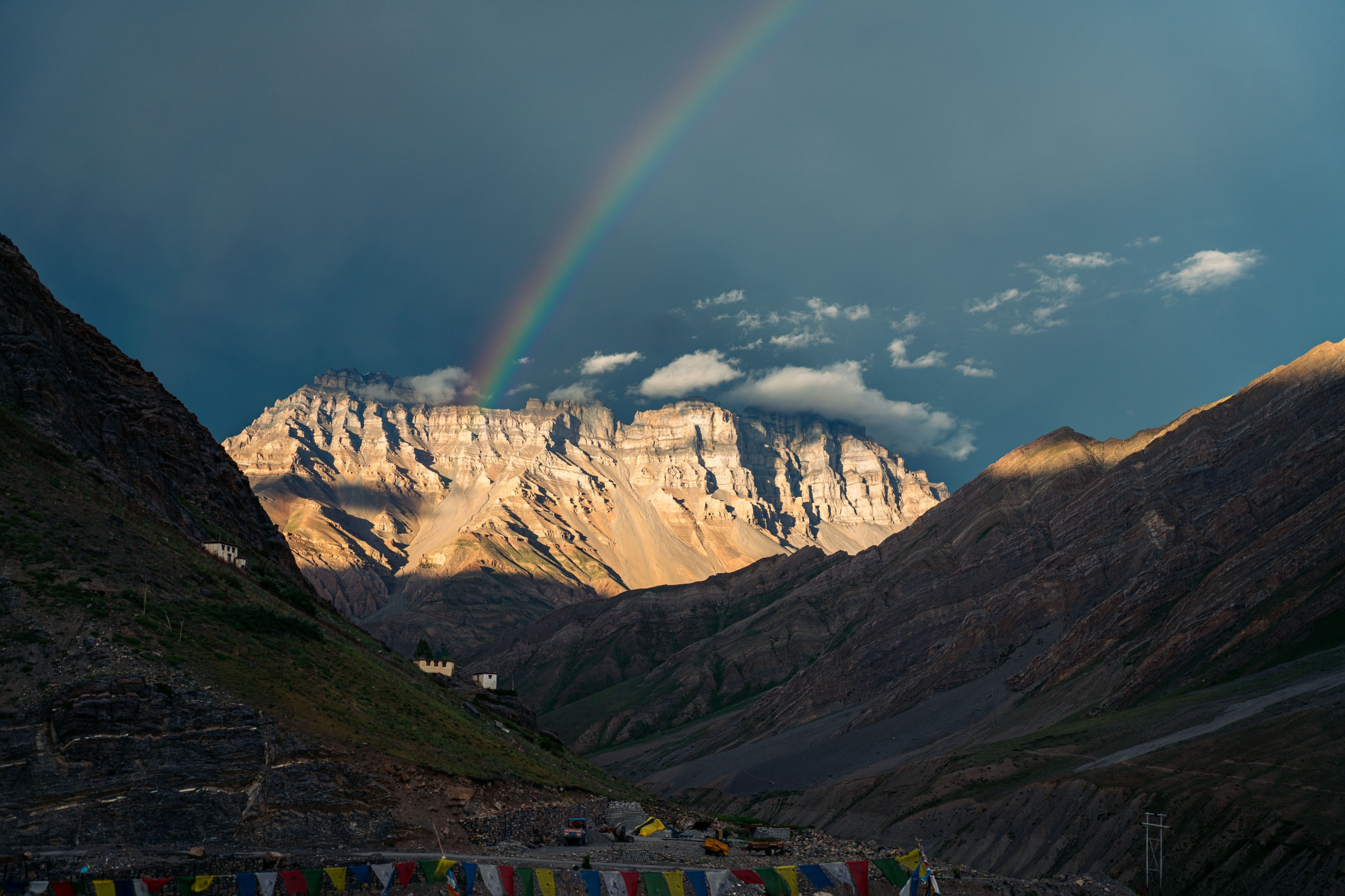
You begin your journey from Rishikesh early in the morning. The drive traces the Ganga and Alaknanda rivers through Devprayag, Rudraprayag, and Karnaprayag before ascending into the Kumaon-Garhwal region. As the road winds up to Lohajung, the air cools and pine forests deepen. Lohajung is a small village with basic lodges, and acts as the traditional gateway to the Roopkund and Ronti region.
Day 2
Lohajung to Didina
Trek Distance: ~8 km
Time Taken: 5–6 hours
Elevation Profile: 7,660 ft to 8,530 ft
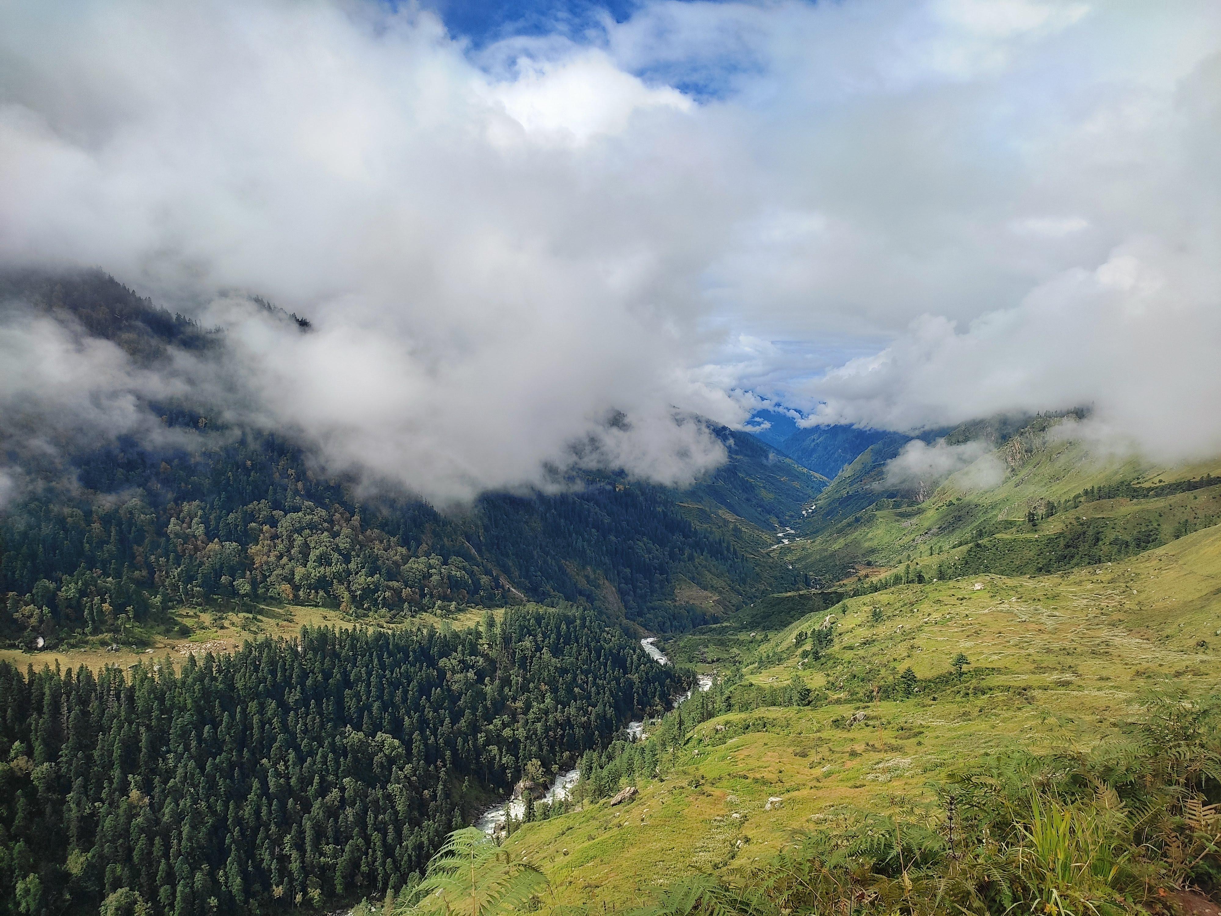
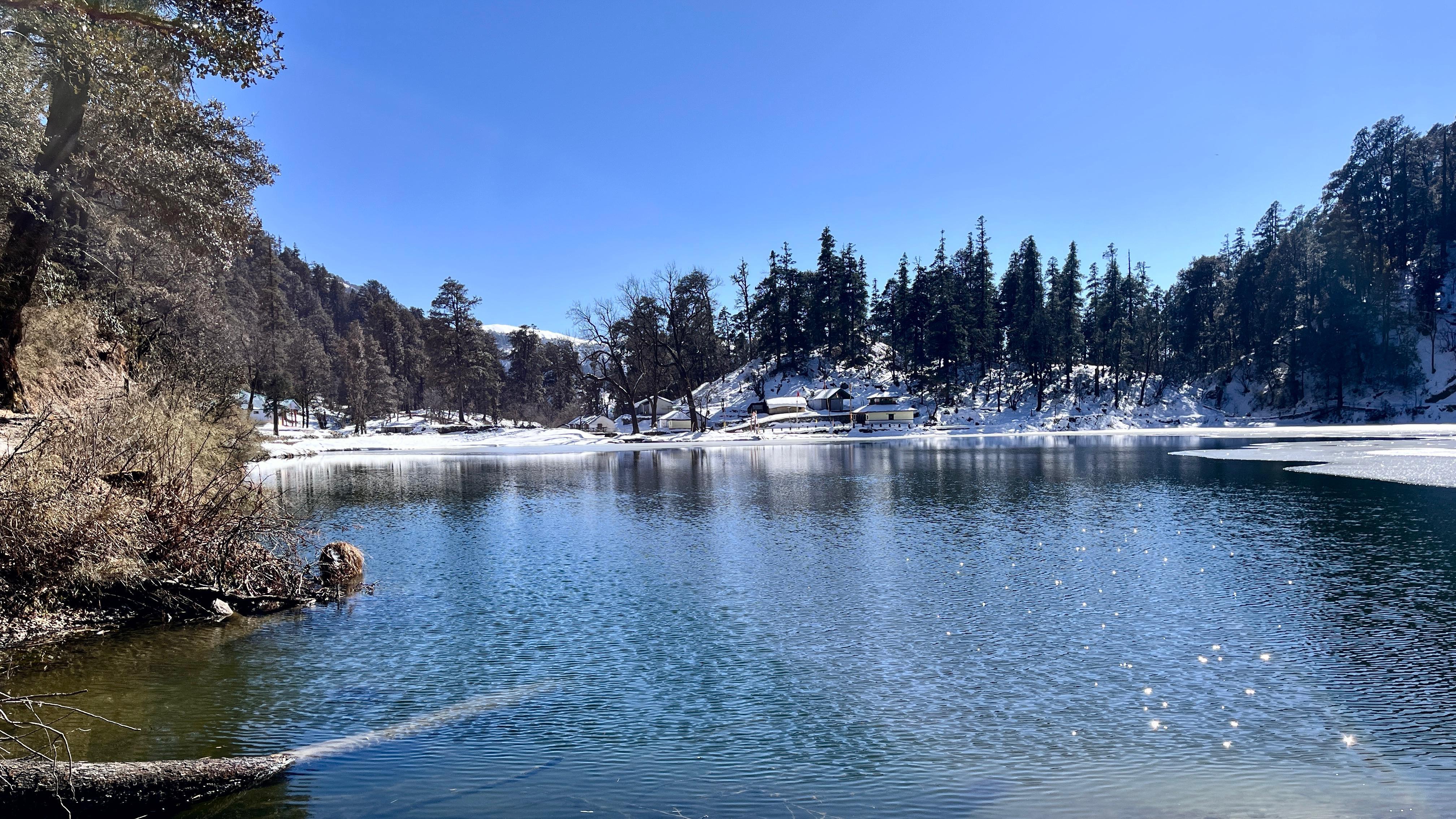
You begin the trek with a descent to the Neel Ganga river and then a steep climb through mixed forests of oak and rhododendron to Didina, a remote hamlet nestled among terraced fields. Expect serene Himalayan village life, and you might even stay in homestays or a grassy campsite just outside the village.
Day 3
Didna to Ali Bugyal
Trek Distance: ~10 km
Time Taken: 6–7 hours
Elevation Profile: 8,530 ft to 11,200 ft
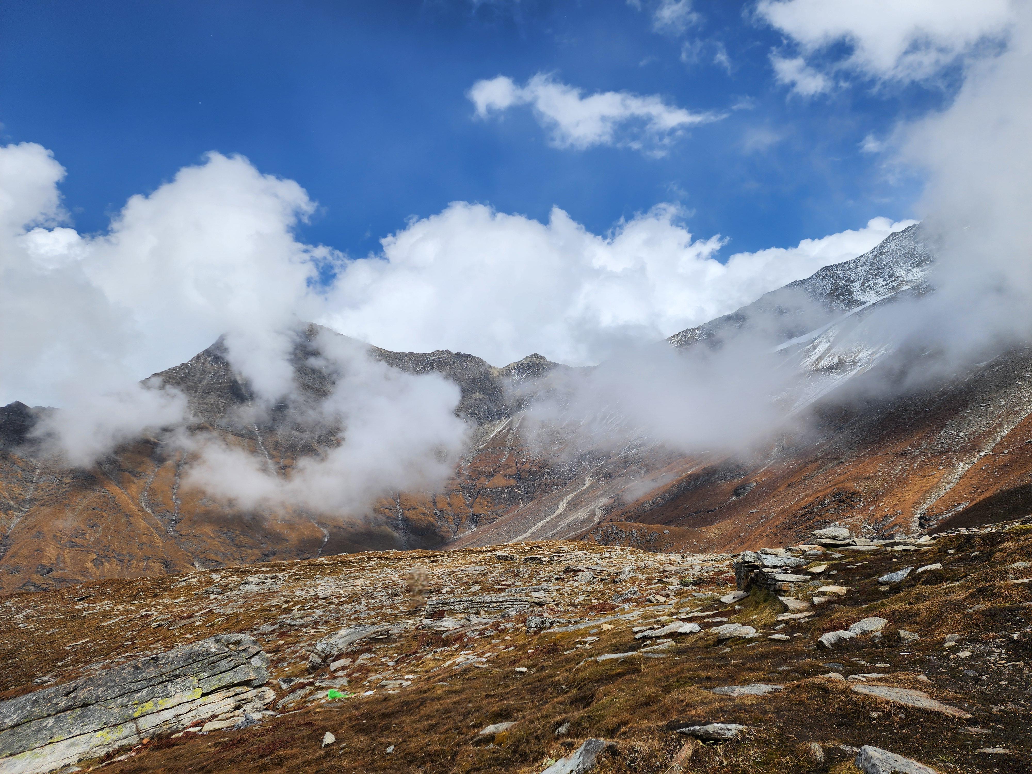
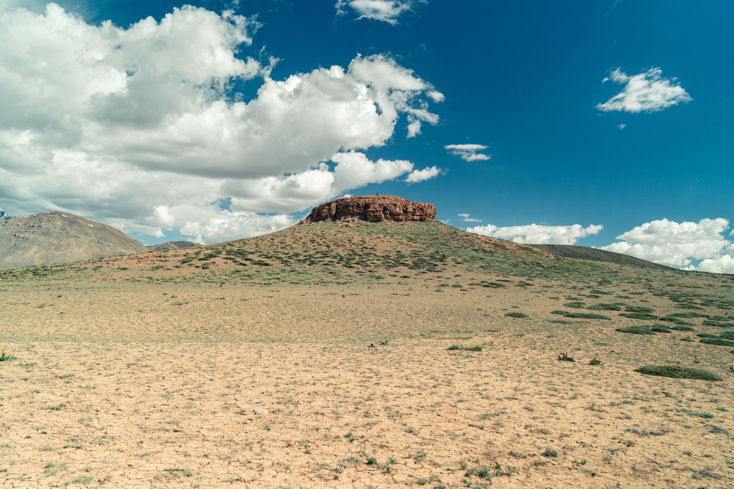
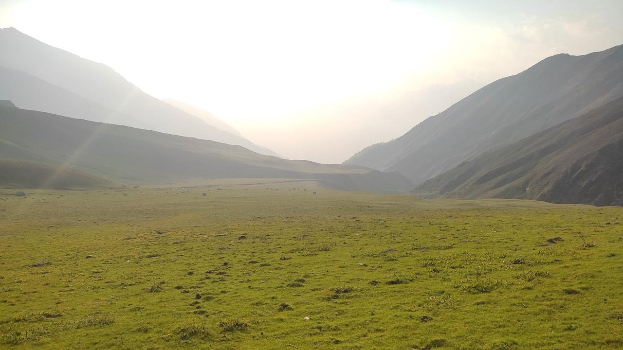
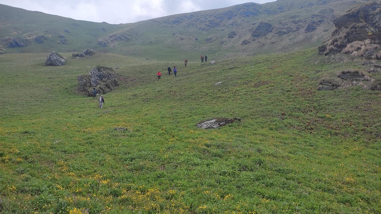
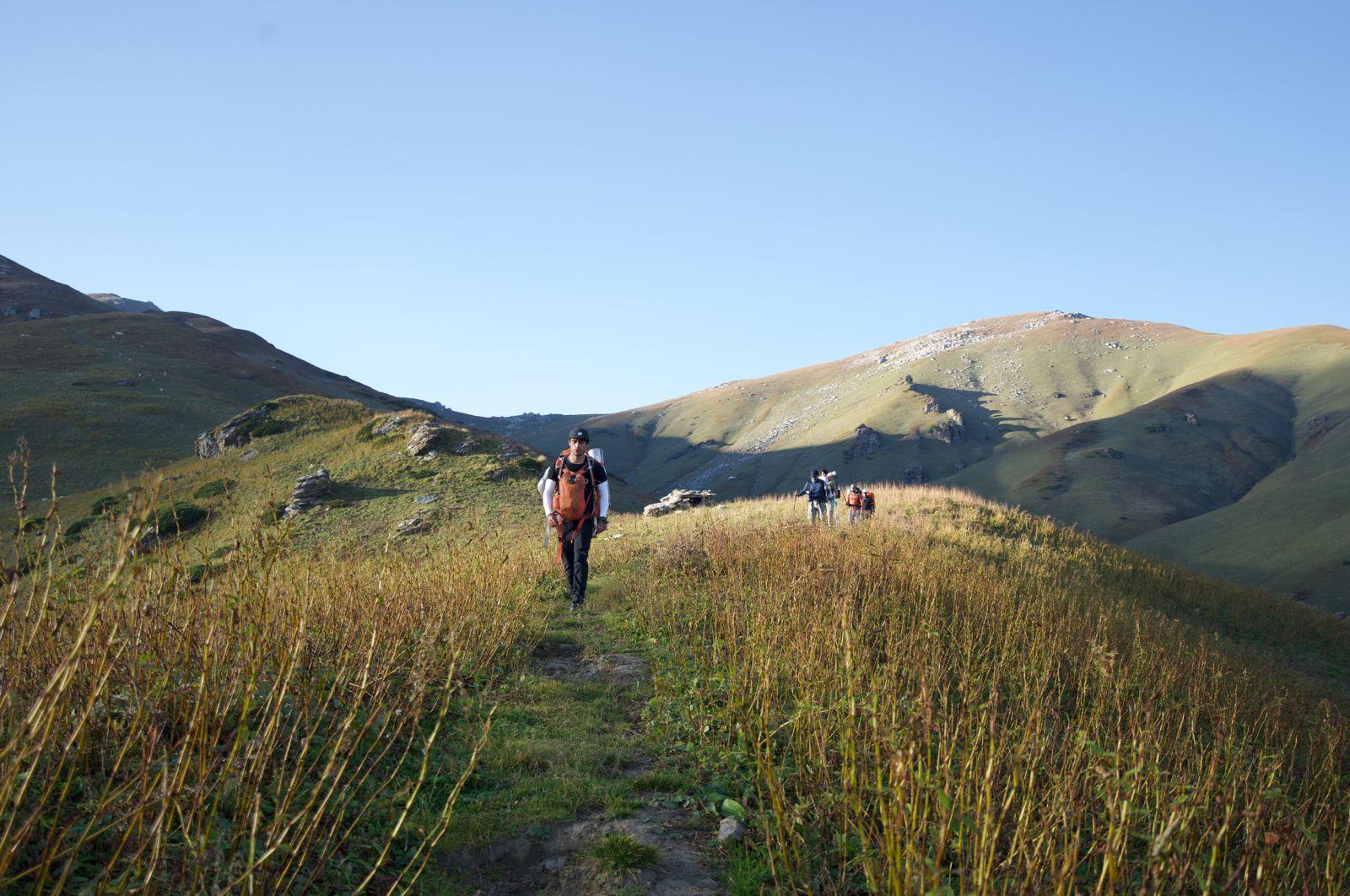
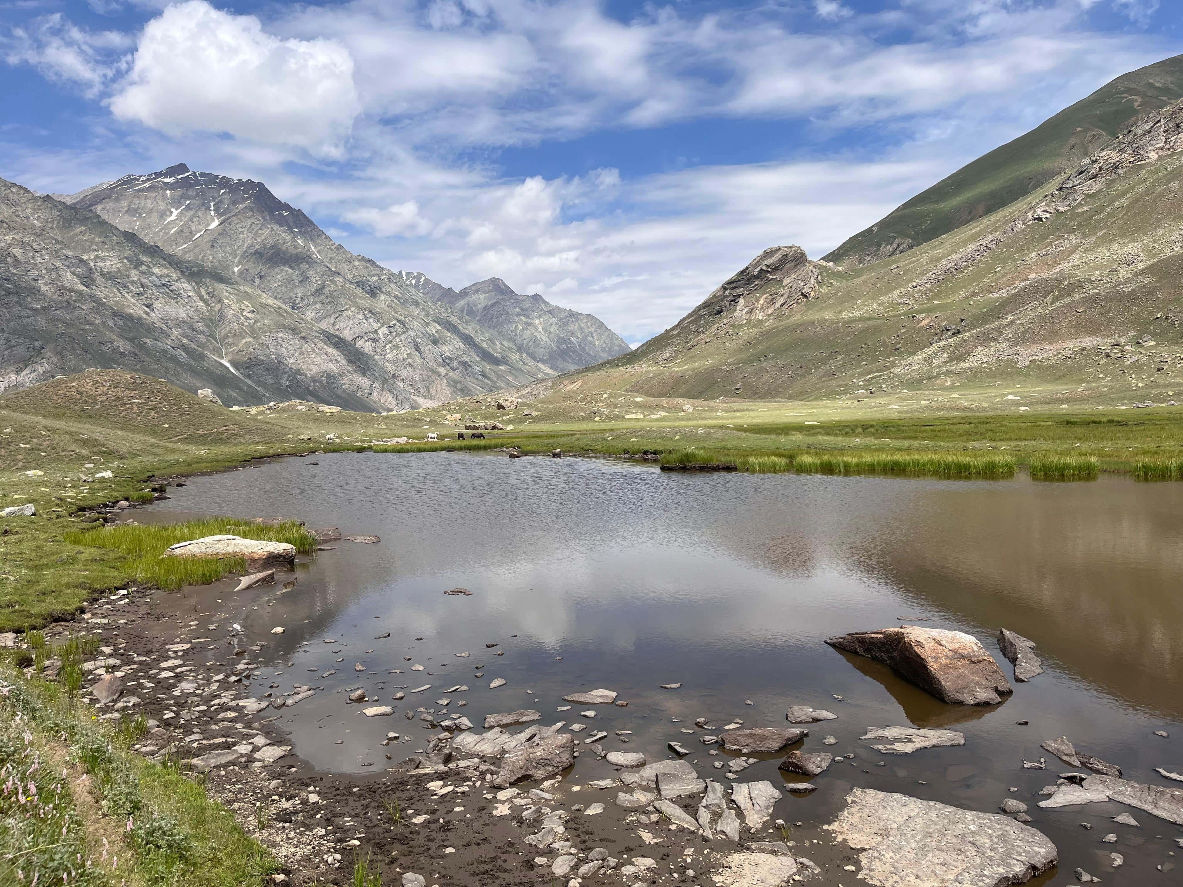
A long day that takes you through the famed Ali Bugyal and Bedni Bugyal meadows. Once you ascend past the tree line, the expansive alpine grasslands open up with views of Mt. Trishul and Nanda Ghunti. We camp at Abin Kharak, a nice clear grassland.
Day 4
Ali Bugyal to Patar Nauchani
Trek Distance: ~5 km
Time Taken: 5–6 hours
Elevation Profile: 11,200 ft to 12,500 ft
This day is quite a short one and flat. We begin with a climb to exit the Ali Bugyal and then walk flat on a ledge for 3kms and descend to Patar Nauchani. A windy camp and mesmerising camp.
Day 5
Patar Nauchani to Bhagwabasa
Trek Distance: ~4 km
Time Taken: 5–6 hours
Elevation Profile: 12,500 ft to 14,100 ft
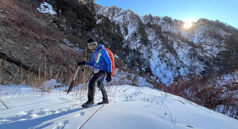
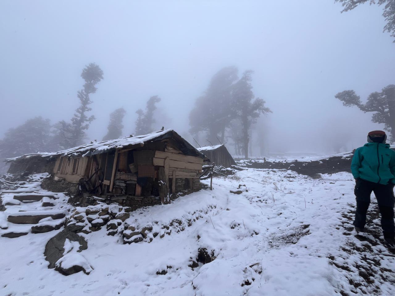
The trail gradually ascends, passing Kalu Vinayak Temple perched dramatically on a ridge. Steep climbs and barren, rocky stretches begin as you cross snow patches. Bhagwabasa is a rugged high-altitude campsite nestled among glacial boulders with early morning alpenglow views of Trishul.
Day 6
Bhagwabasa to Sheela Samudra via Ronti Saddle Base
Trek Distance: ~12 km
Time Taken: 8–9 hours
Elevation Profile: 14,100 ft to 15,750 ft (Ronti Base) to 13,300 ft
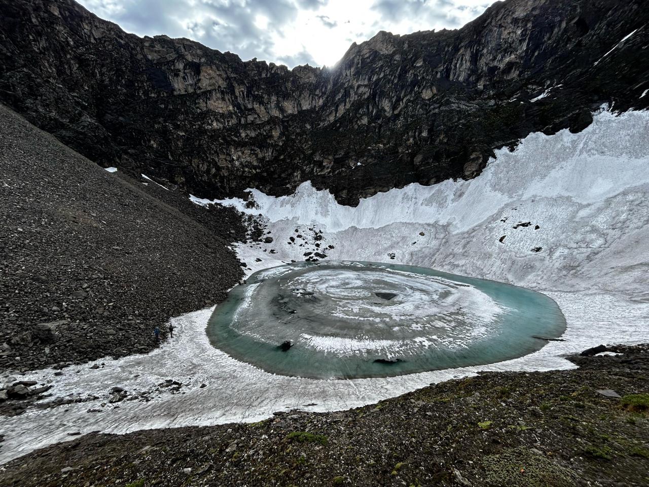
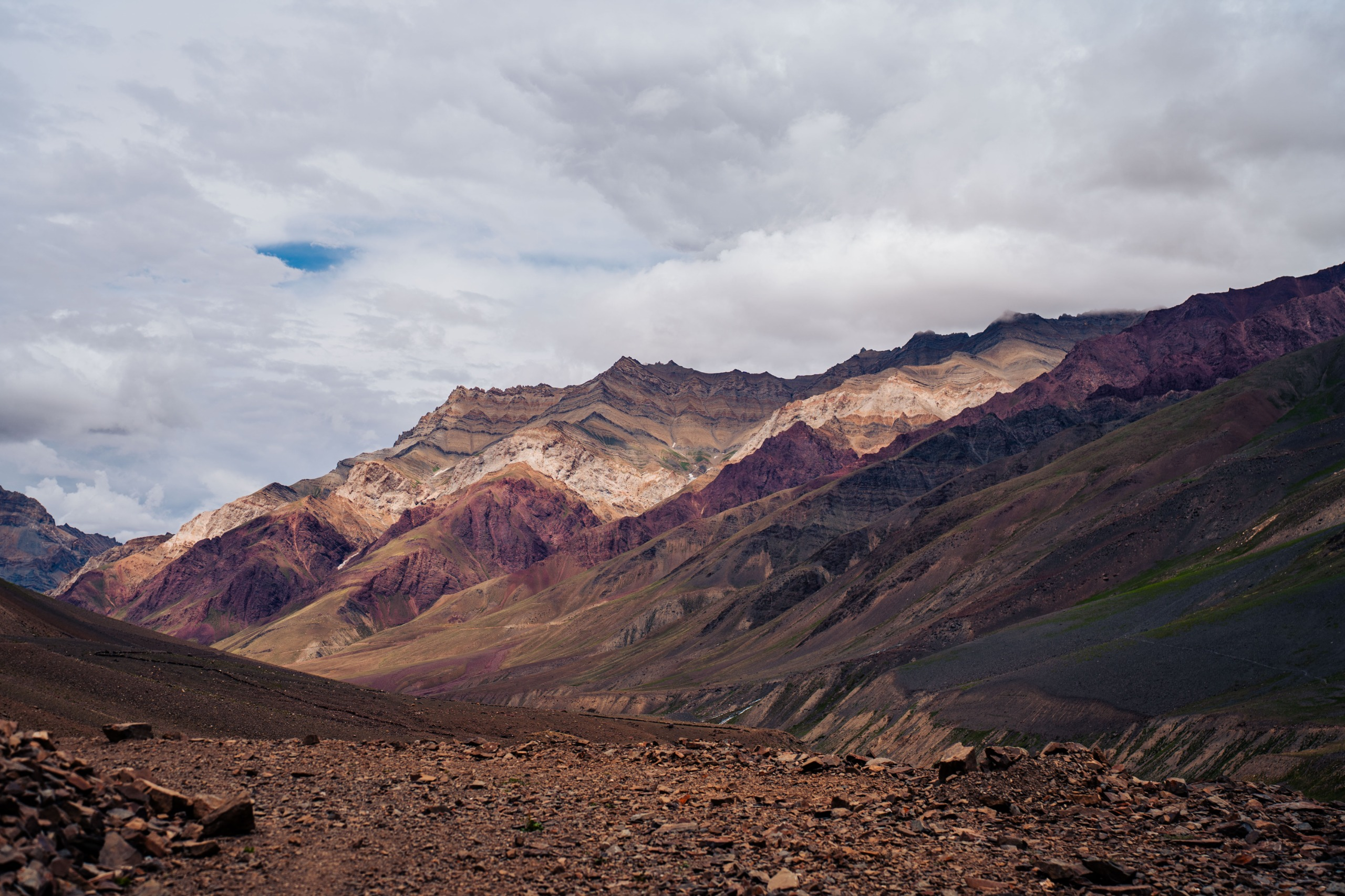
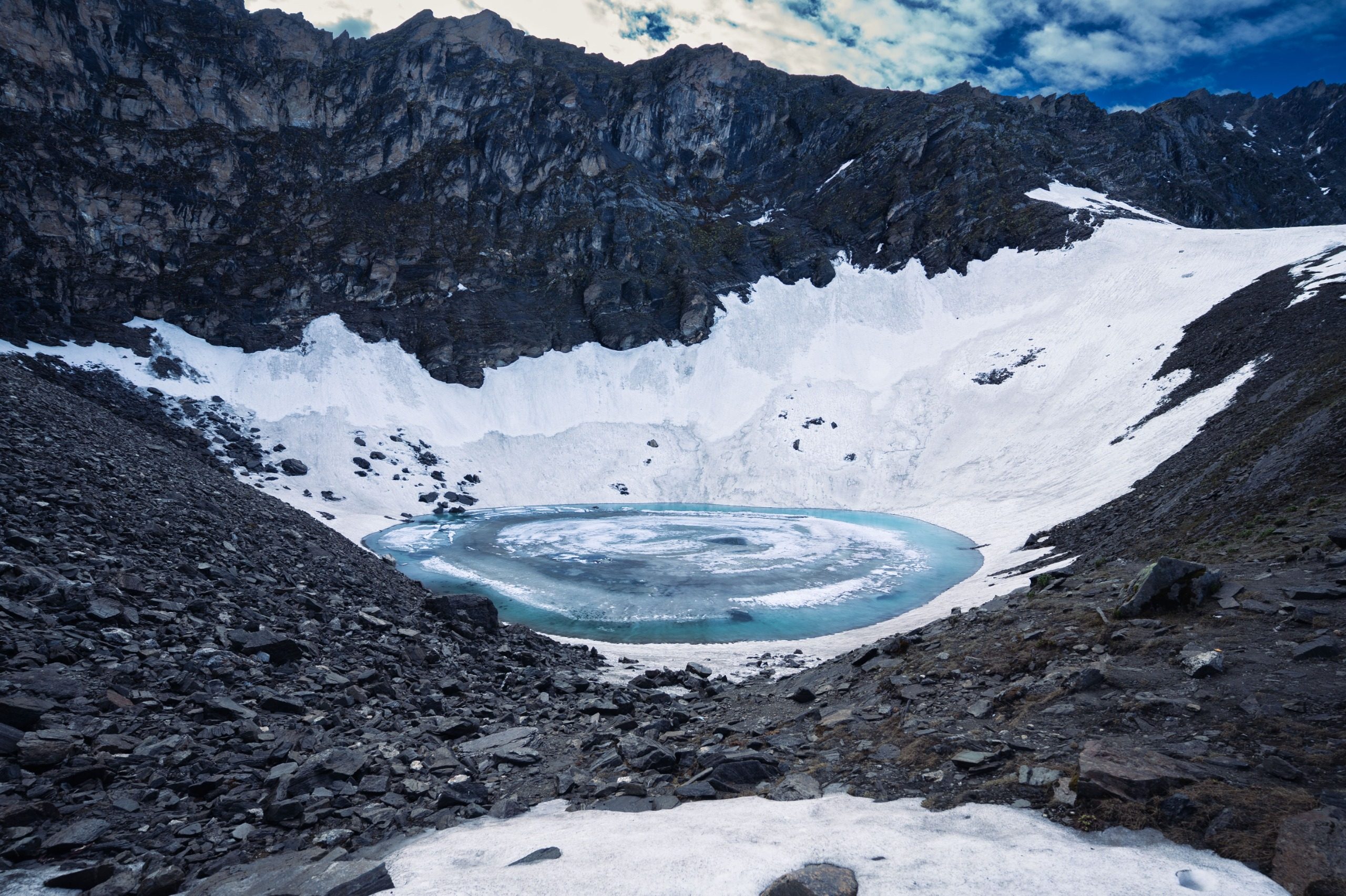
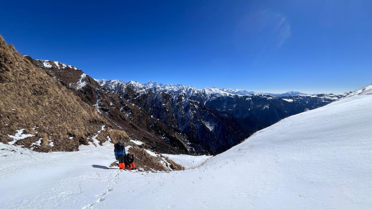
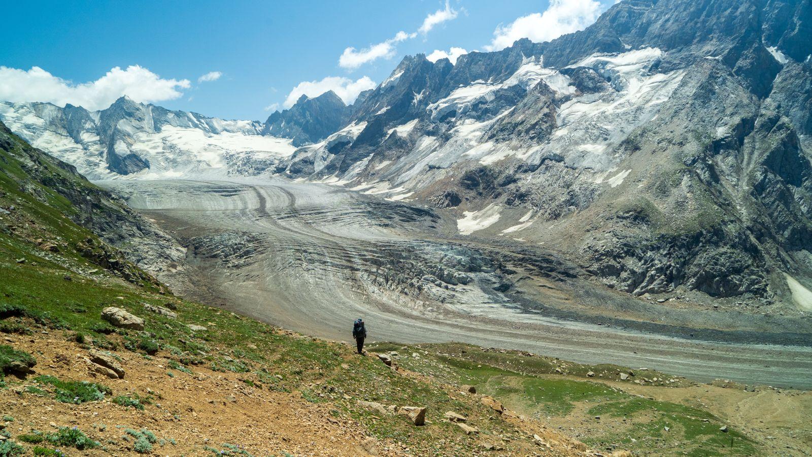
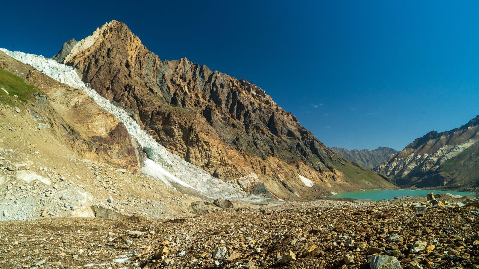
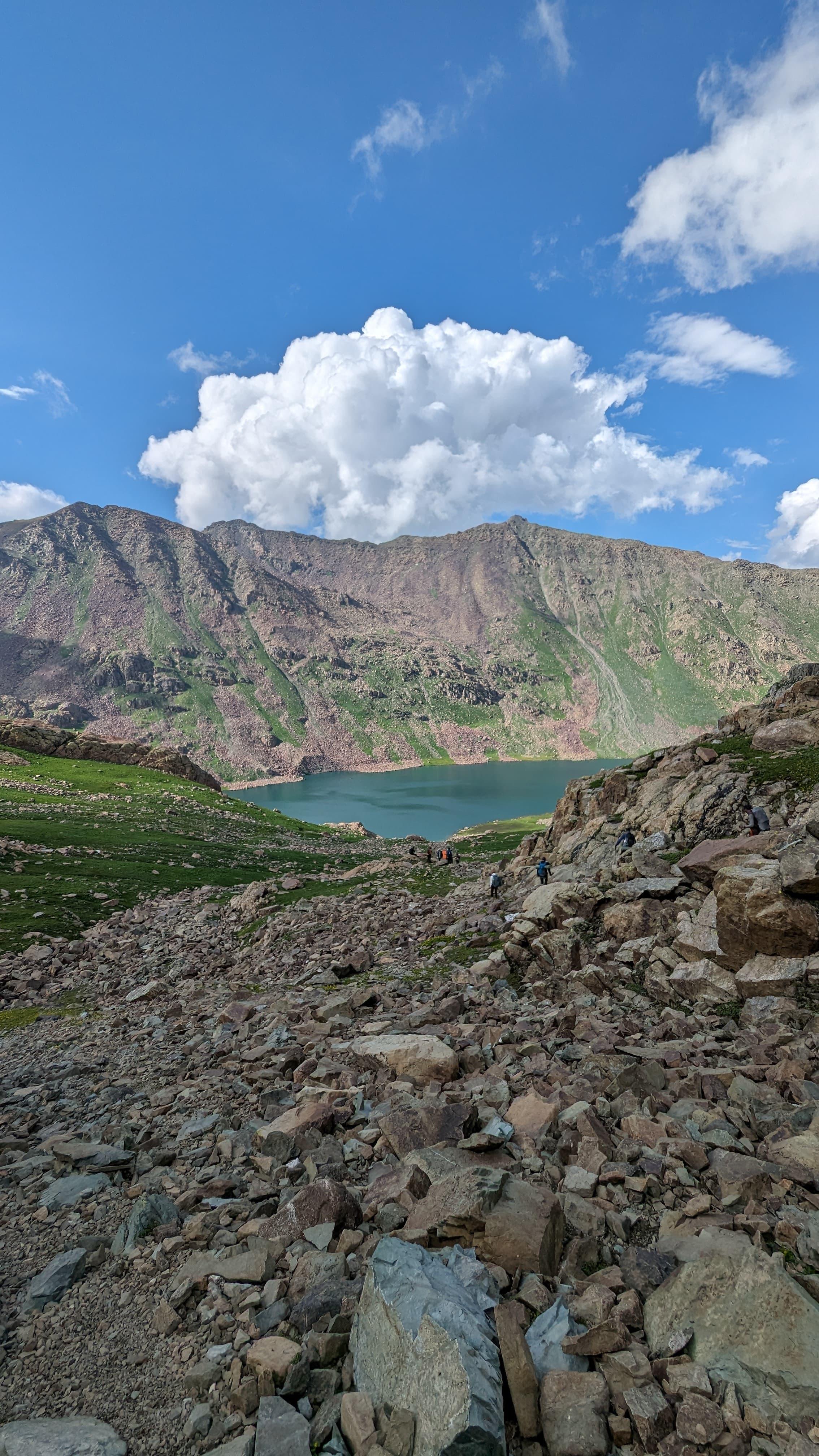
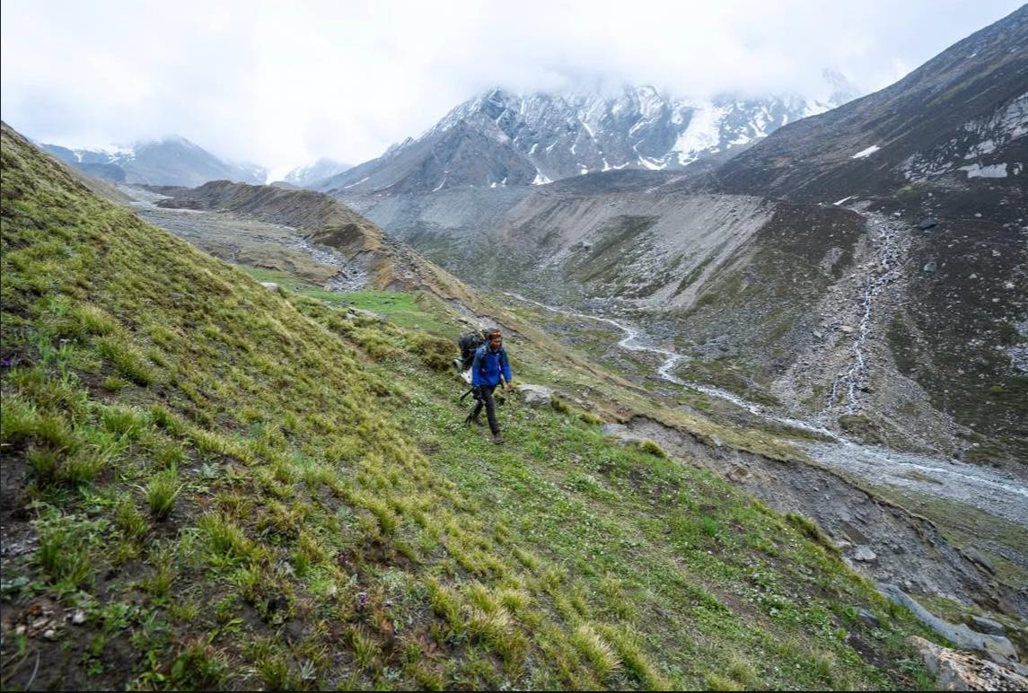
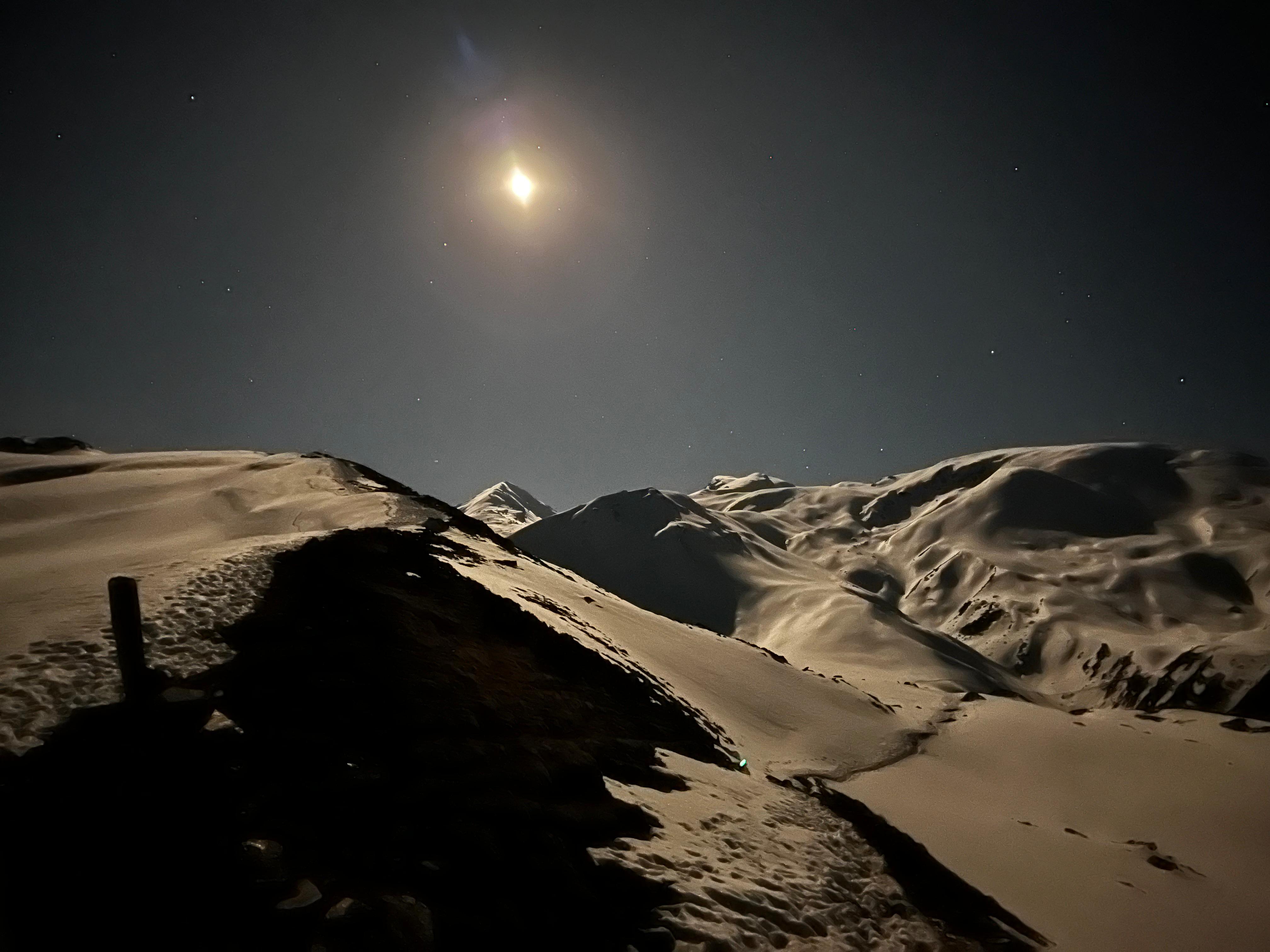
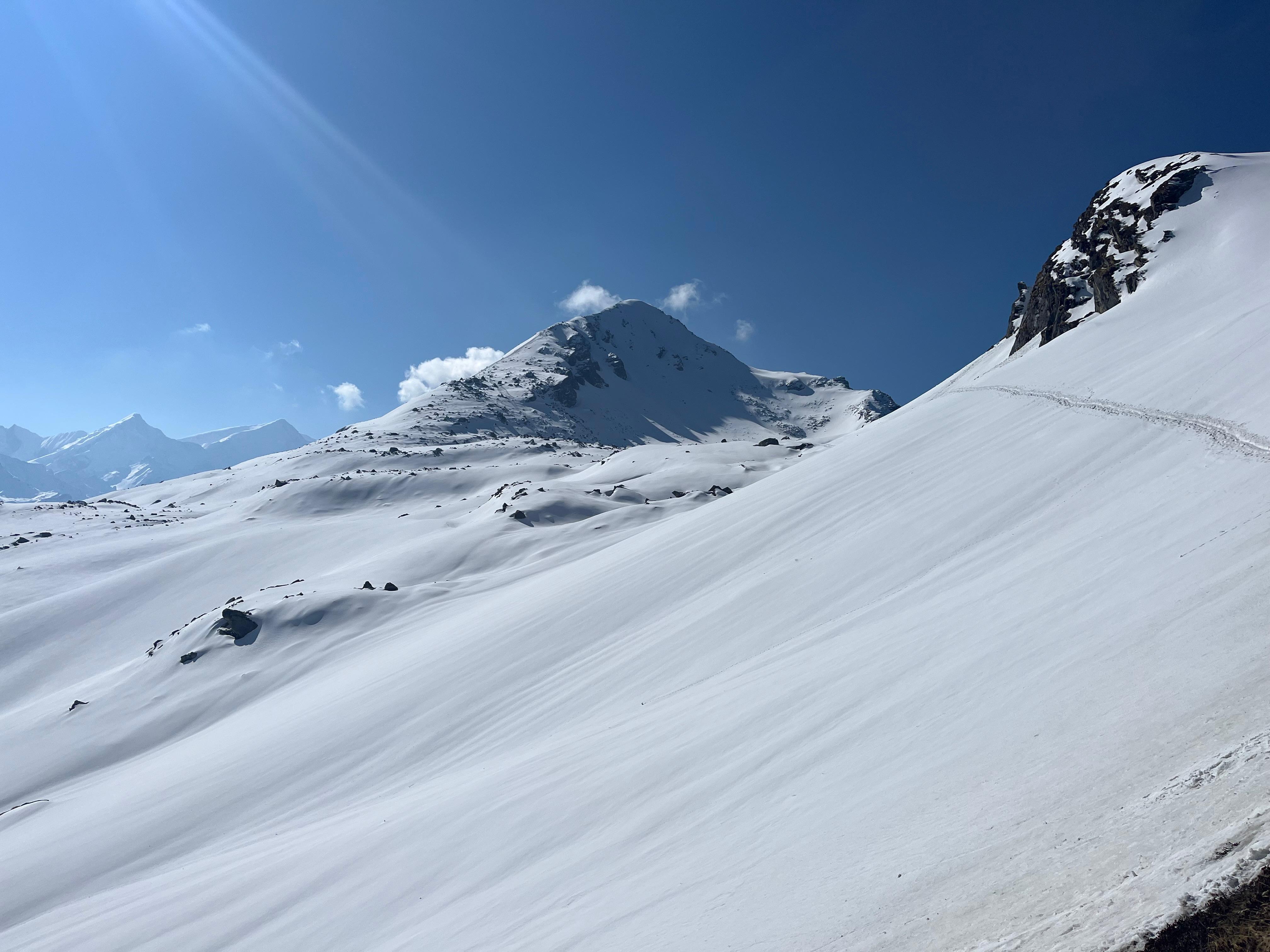
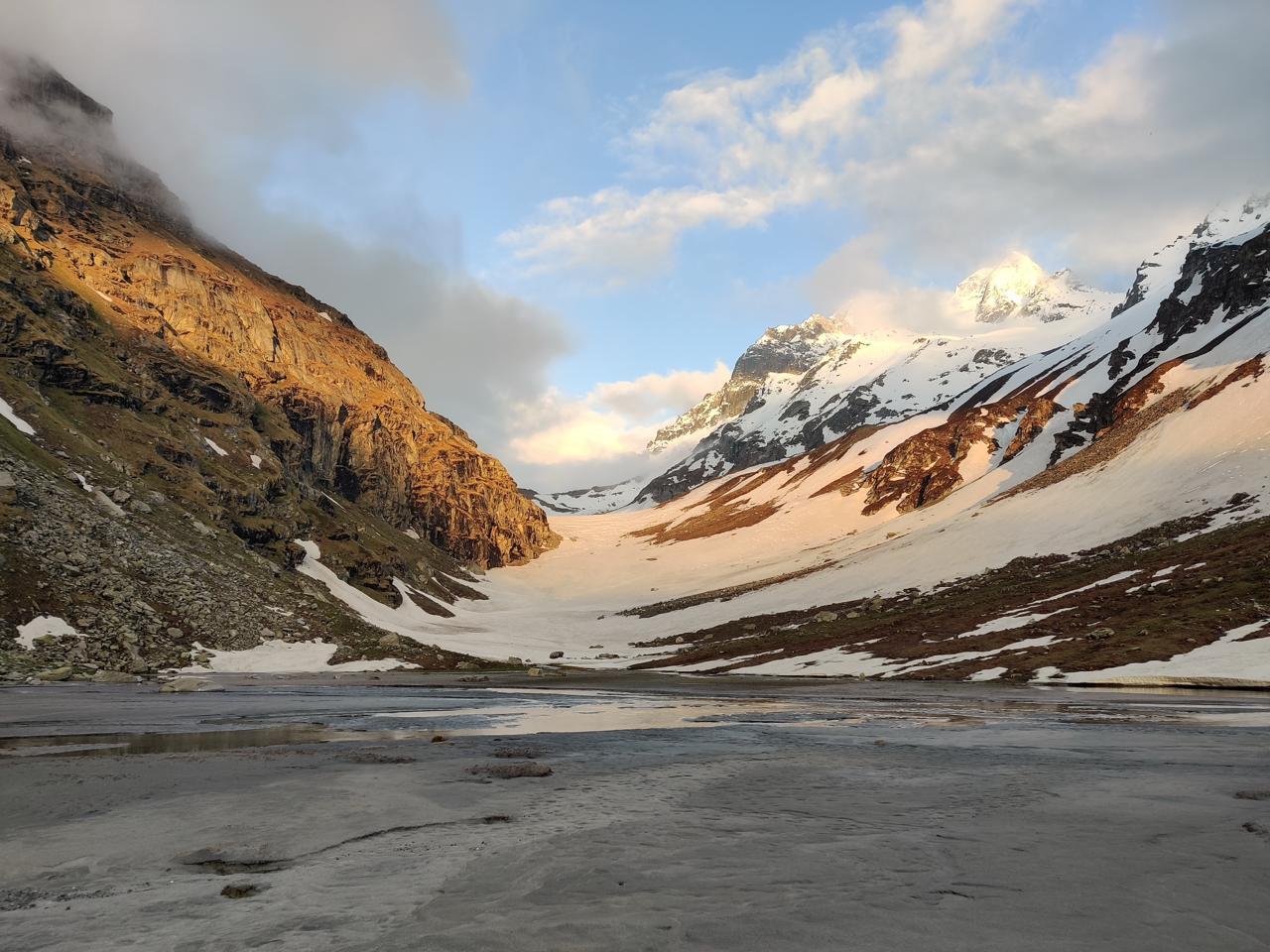
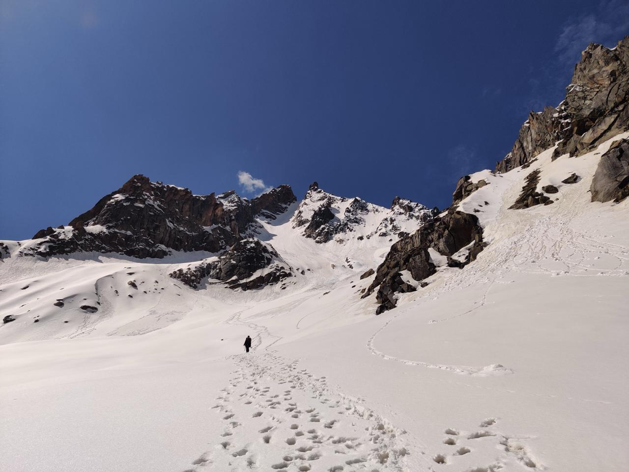
This is one of the toughest and longest days of the expedition. You begin pre-dawn and ascend beyond Roopkund lake, turning toward the less-trodden Ronti Saddle base. From there, you descend through scree, moraine fields, and glacial runoff to reach the pristine campsite of Sheela Samudra, an icy amphitheater below towering icefalls.
Day 7
Sheela Samudra to Dodang
Trek Distance: ~9 km
Time Taken: 6–7 hours
Elevation Profile: 13,300 ft to 11,500 ft
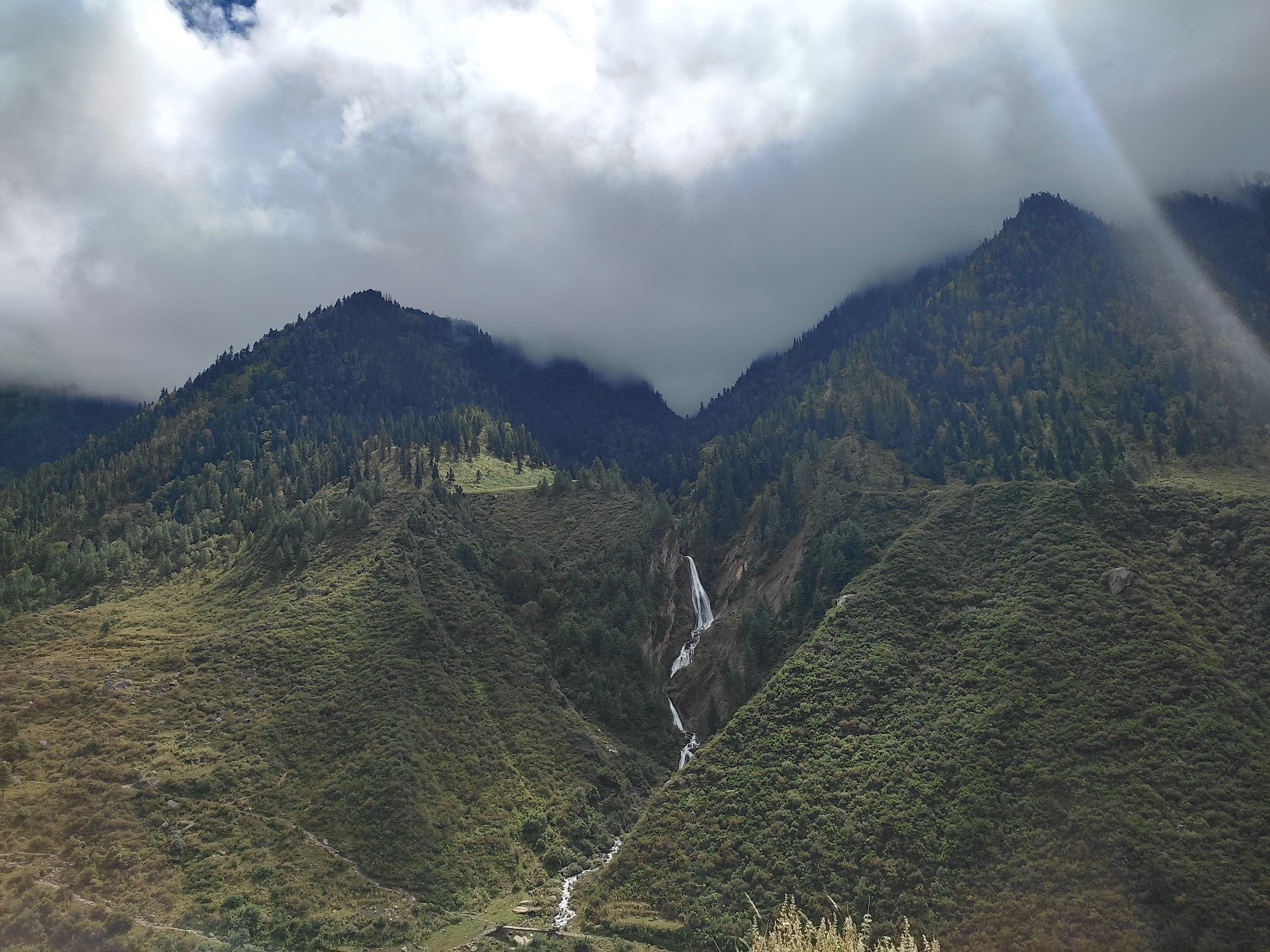
You descend through an ancient glacial basin following the river Ronti Ganga, crossing alpine boulders, grazing pastures, and icy brooks. The campsite at Dodang lies in a relatively flatter valley, marked by high cliffs, isolated boulders, and the haunting silence of deep wilderness.
Day 8
Dodang to Ronti Saddle and back
Trek Distance: ~12 km round trip
Time Taken: 7–9 hours
Elevation Profile: 11,500 ft to 16,400 ft and back
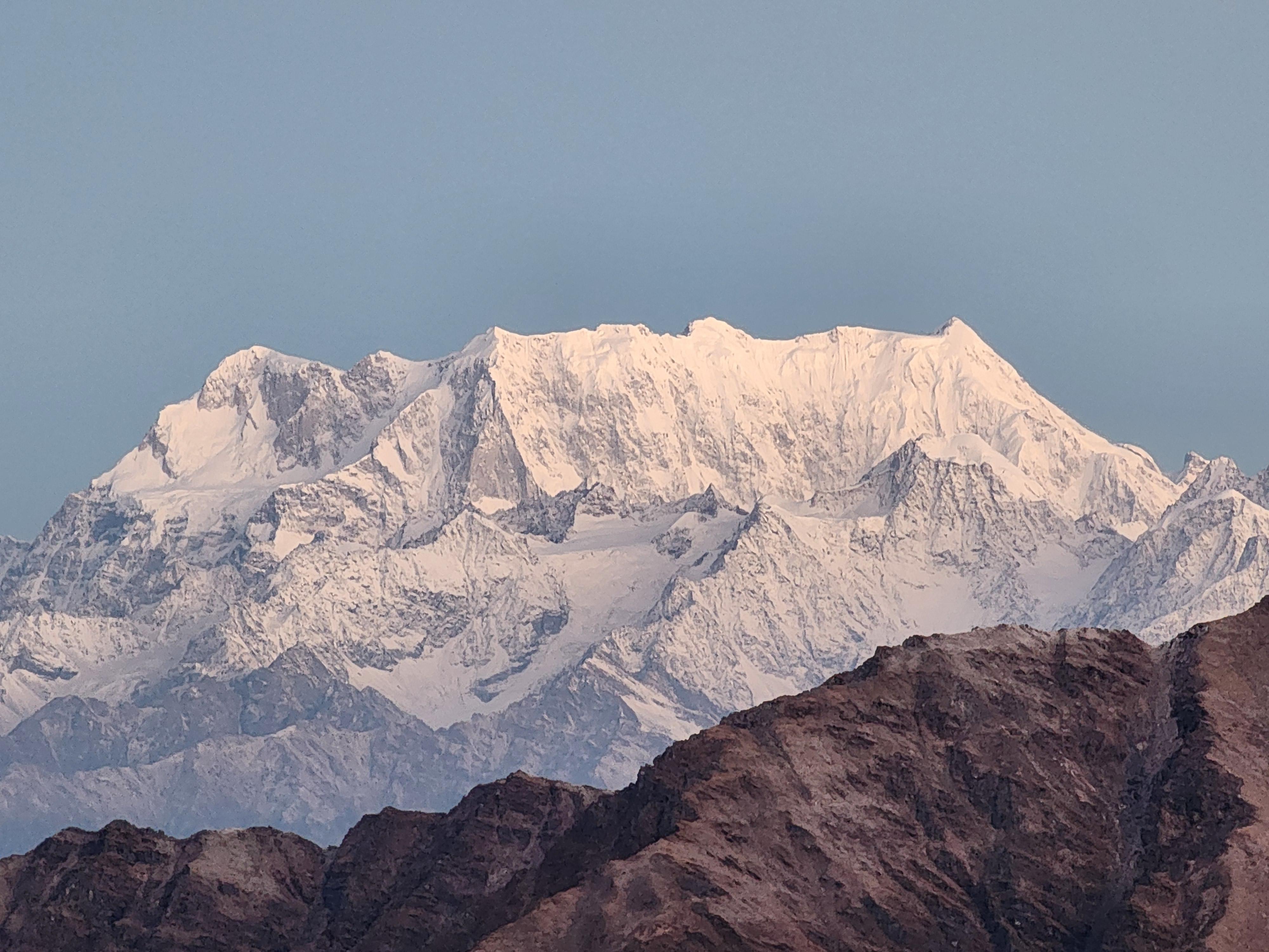
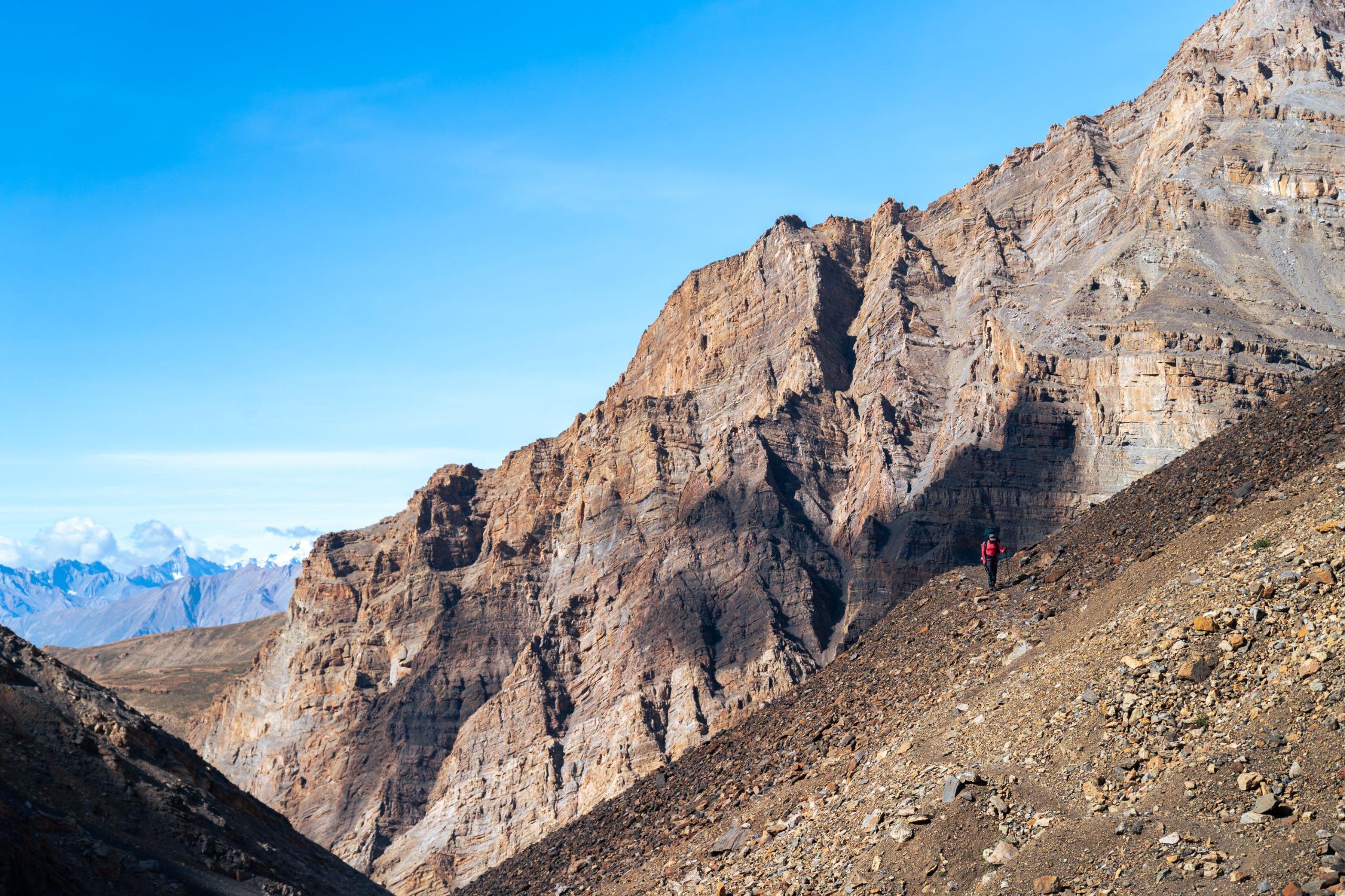
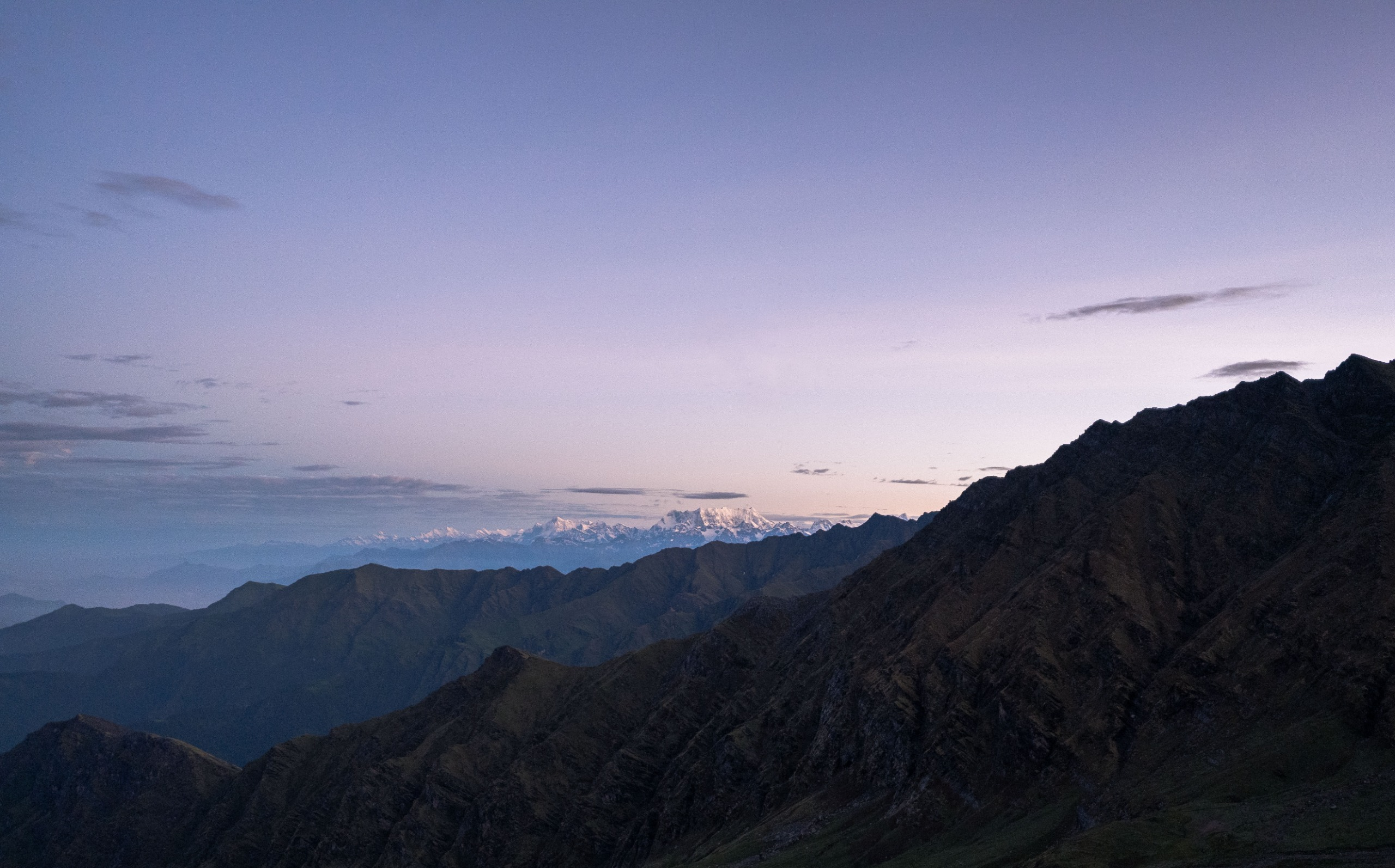
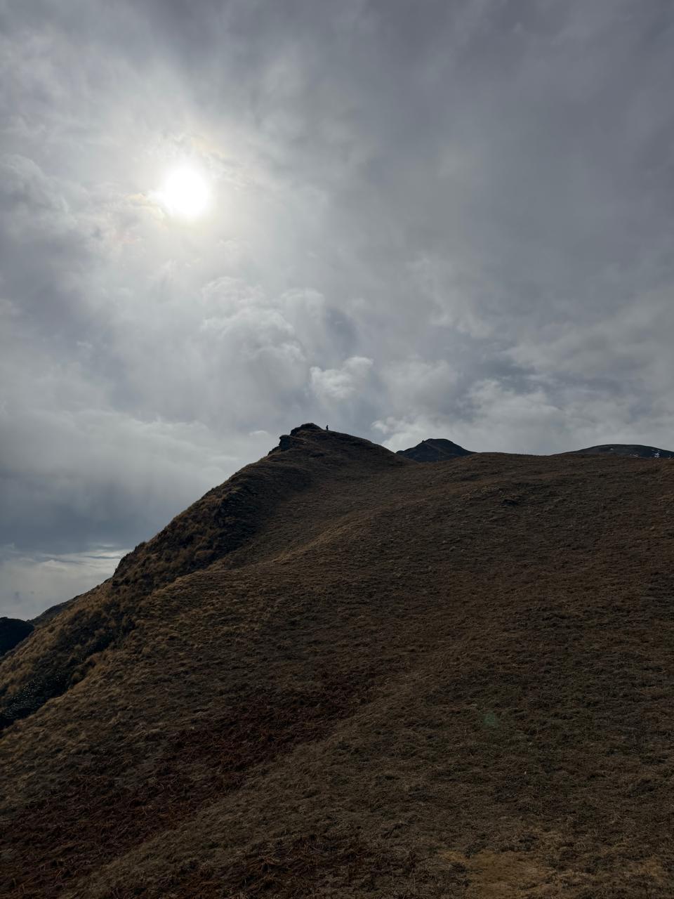
A summit-style day, this is the climax of your journey. You climb steeply through moraine fields and ice ridges to the Ronti Saddle—the high pass between Trishul and Nanda Ghunti. The view is awe-inspiring, with the Garhwal range unfurling in all directions. After spending time at the pass, you return to Dodang.
Day 9
Dodang to Lata Khopri
Trek Distance: ~9 km
Time Taken: 5–6 hours
Elevation Profile: 11,500 ft to 9,850 ft
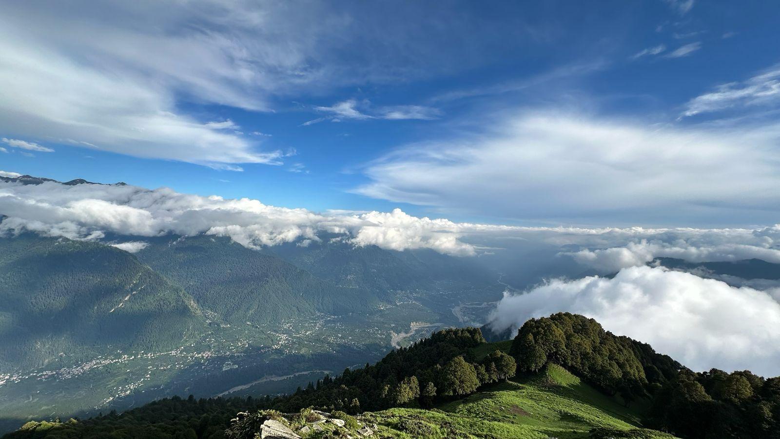
Today’s descent is more gradual, with the trail moving into meadows and dense conifer forests. Lata Khopri is a lesser-known meadow campsite, often grazed by local shepherds. Sunset views here are magical, with Nanda Ghunti glowing golden on a clear day.
Day 10
Lata Khopri to Sutol
Trek Distance: ~10 km
Time Taken: 5–6 hours
Elevation Profile: 9,850 ft to 7,000 ft
You descend deeper into the valley, following ridgelines and forest paths until you reach Sutol, a traditional Himalayan village. Expect terraced farms, stone houses, and warm local hospitality as you settle in after your long journey.
Day 11
Sutol to Rishikesh
Drive Distance: ~250 km
Time Taken: 10–11 hours
Elevation Profile: 7,000 ft to 1,100 ft
A scenic drive through mountain roads, river valleys, and pine forests brings you full circle to Rishikesh. After days of trekking in solitude, the return to civilization can be jarring but deeply rewarding.
Expectations on a Backpacking Trip
- Prior experience of high-altitude treks above 13,000 ft is highly recommended.
- Trekkers should be comfortable walking 8–10 hours a day on steep, glaciated, and rocky terrain with a 10-12 kg backpack.
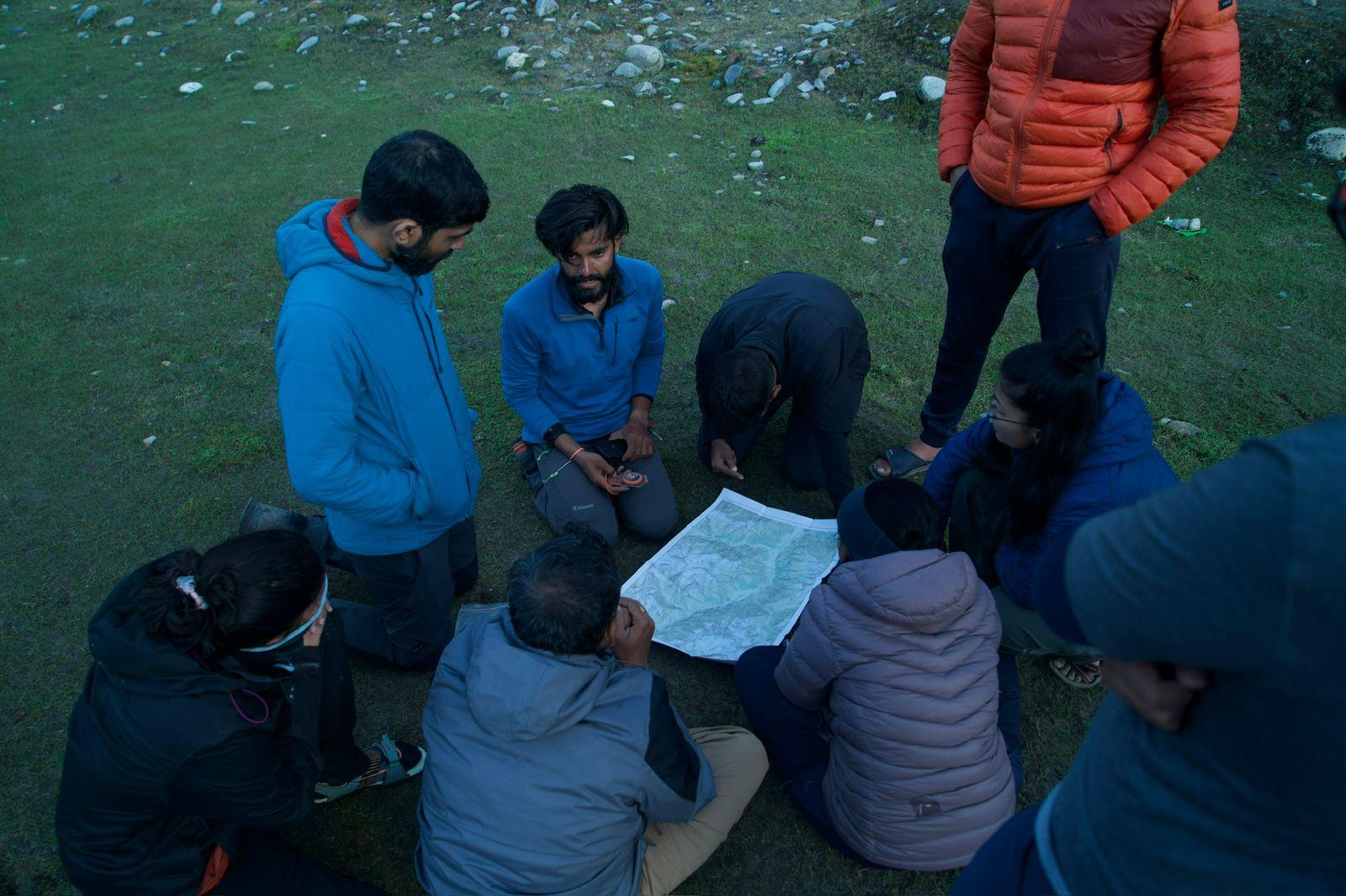
- Participants must be familiar with high-altitude protocols including acclimatization, hydration, and basic wilderness safety. If not, they will be taught all of these skills as part of Odyssey's Backpacking Program Design.
- Travel insurance covering emergency evacuation is mandatory.
Minimum Fitness Requirement
- Cardiovascular endurance: Ability to jog/run continuously for 60-90 minutes without getting exhausted
- Stair climbing with 8 kg backpack (up to 8–10 floors without rest).
- Strength training 3x a week (legs, core, shoulders, lower back).
- Flexibility and balance training through yoga or stretching.
- Mental readiness to withstand freezing nights, physical exhaustion, and complete remoteness.
Expedition Behaviour
- Open-mindedness, respect for local culture, and patience with trail uncertainties.
- Active participation in group decisions and cooperation with the trek leader.
- Commitment to Leave No Trace principles and sustainable trekking ethics.
- Willingness to embrace discomforts like cold, long days, basic camping hygiene.
Inclusion
Exclusion
What defines Odyssey's Ronti Saddle as a true backpacking expedition?
What is the difficulty level of this trek, and who is it suited for?
What are the fitness and preparation requirements for carrying my own pack?
What kind of terrain and major highlights will I experience on this trek?
What are the typical temperatures and the best seasons for Ronti Saddle?
Will I have mobile network or electricity during the Ronti Saddle trek?
Where does the trek begin and end?
SELECT DATE TO REGISTER
Thank You!
Your form has been submitted successfully. We'll get back to you soon.
₹ 24,599 + 5% GST