


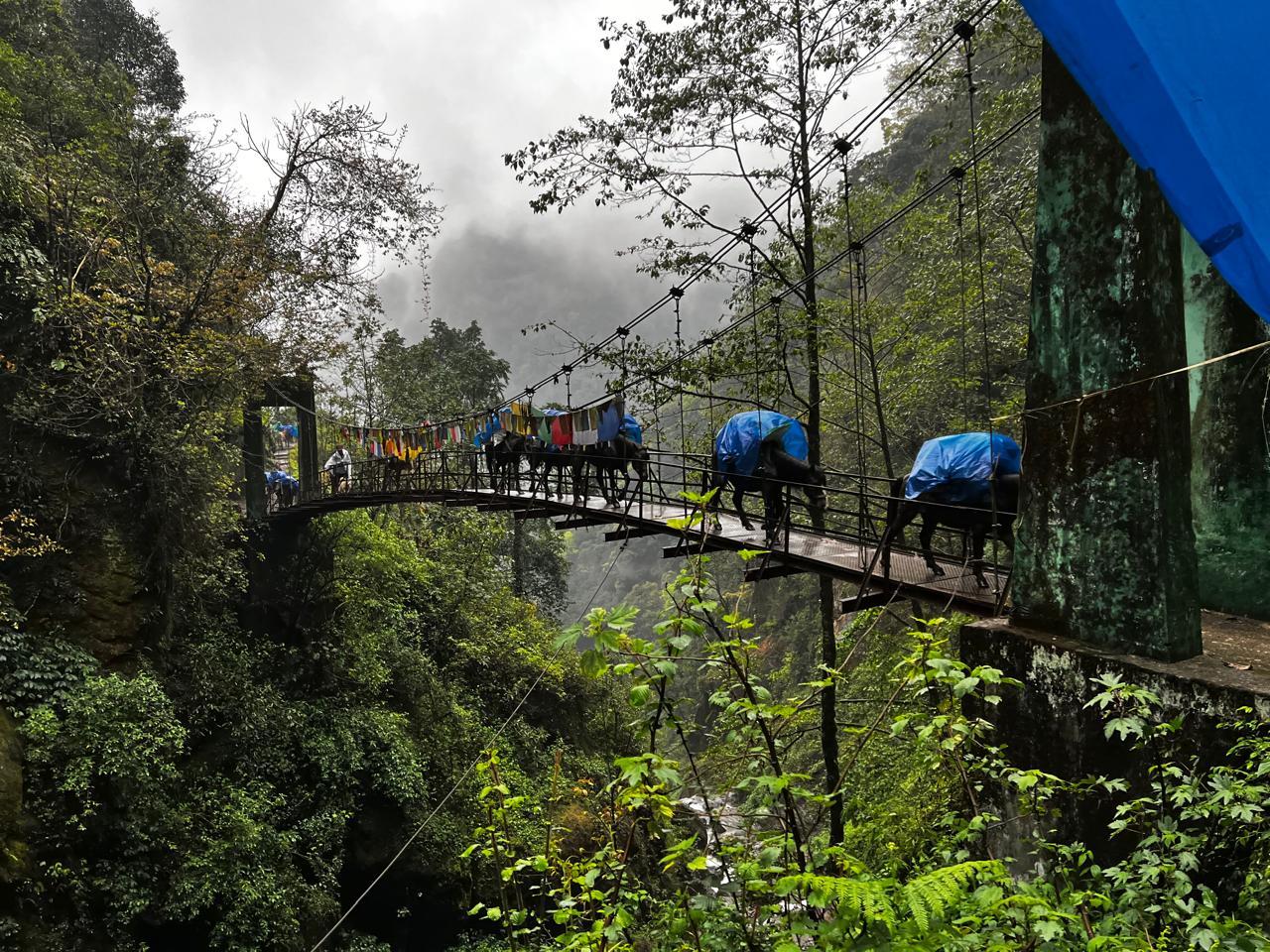
The Pin Parvati Pass Trek is one of the most stunning and raw trans-Himalayan treks in India. It links the arid, wind-eroded landscapes of Spiti with the lush alpine meadows and conifer forests of the Parvati Valley in Kullu. This trek not only bridges two distinct landscapes but also two deeply contrasting cultures—Tibetan Buddhism and Hinduism. First crossed by Sir Louis Dane in 1884, this route has seen centuries of movement by herders, monks, and traders.
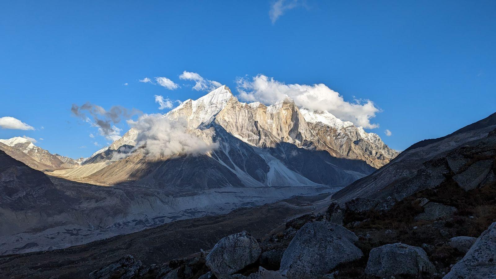
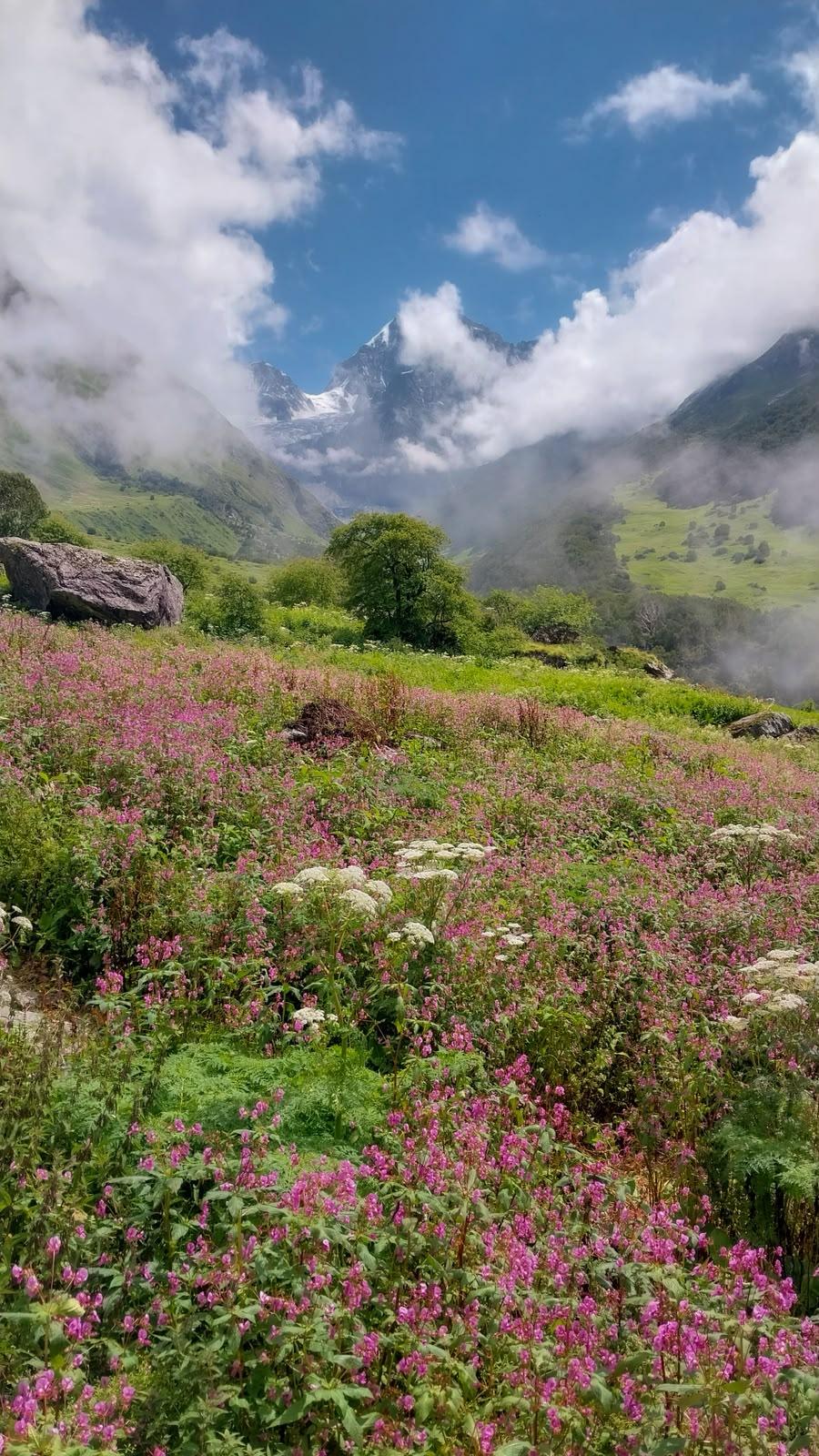
The trek begins in the quiet village of Mudh in the Pin Valley National Park—home to snow leopards, Himalayan ibex, and choughs—and then journeys up the stark and glaciated Pin River gorge. Glacial terrain, moraine fields, and roaring rivers challenge you until you stand atop the Pin Parvati Pass at 17,451 ft. The descent introduces you to a new world—grassy plains, alpine lakes, pine forests, and bubbling hot springs. It ends in the cheerful hamlet of Pulga in the Parvati Valley.
As a crossover trek, Pin Parvati demands serious fitness, experience, and resilience. You’ll spend days above 12,000 ft, camp in remote, uninhabited meadows, and navigate shifting terrain. The rewards? Complete solitude, ever-evolving scenery, cultural immersion, and the profound satisfaction of crossing the Great Himalayan divide.
Day 1
Drive from Manali to Mudh
Drive Distance – 250-260 km
Time – 9-10 hours
Elevation Profile – 6,700 ft (Manali) to Mudh (~12,300 ft)
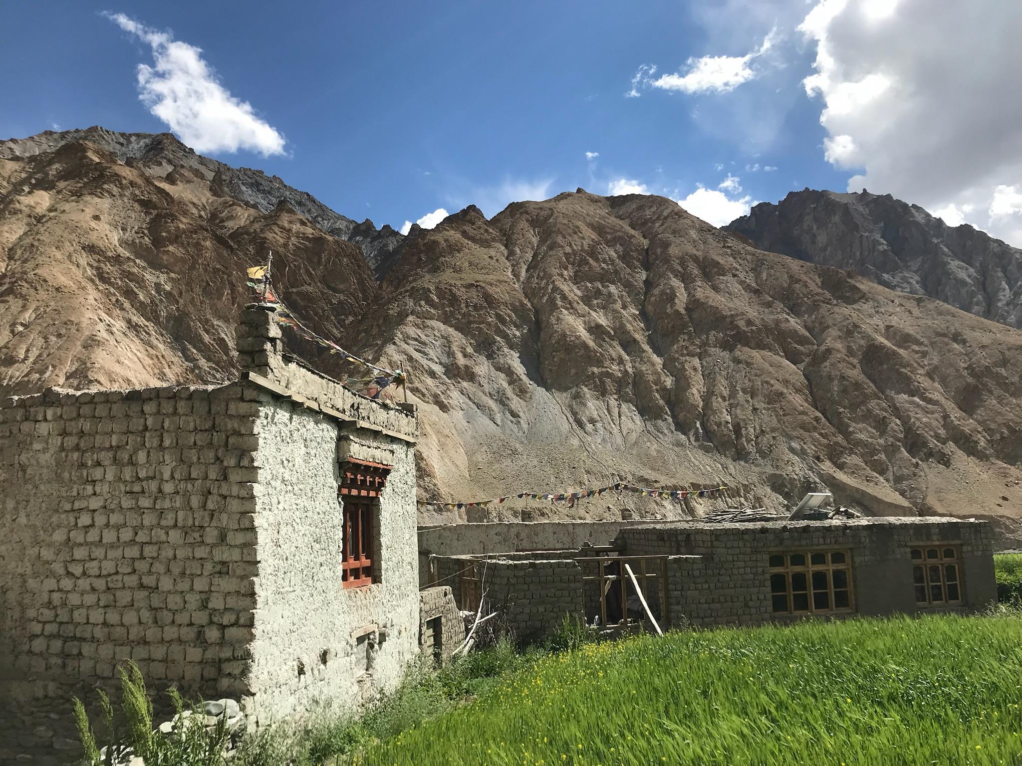
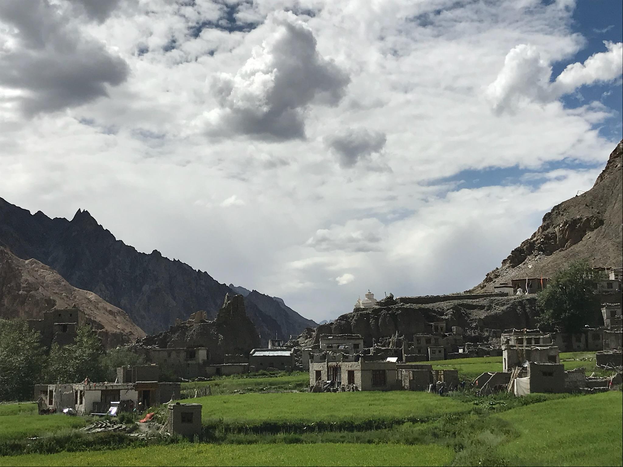
This day is a long but spectacular drive. You'll leave the lush green mountains of Manali behind and enter the stark, barren landscapes of Spiti Valley. The drive is a journey in itself, crossing high mountain passes like Rohtang La (if the Atal Tunnel is not used) and Kunzum La. You'll witness a dramatic transition in terrain as you descend into the Pin Valley, a high-altitude cold desert. Mudh, the last village in the valley, is a small, picturesque settlement with traditional Spitian houses.
Highlights: The dramatic shift in scenery from the green Kullu valley to the brown, rugged Spiti landscape. The first glimpse of the Pin River.
Challenges: The long, winding drive can be tiring and is often subject to road closures or delays due to landslides or weather. Acclimatizing to the sudden jump in altitude at Mudh is crucial.
Day 2
Mudh to Tiya
Trek Distance – ~12 km
Time – 6–8 hours
Elevation Profile – Mudh (~12,300 ft) to Tia (~13,100 ft)
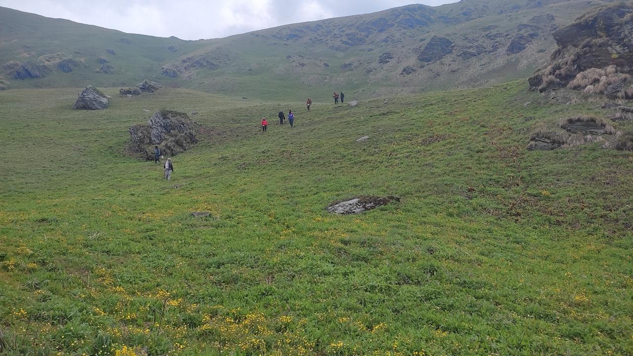
The first day of trekking is a gradual introduction to the Pin Valley's wild beauty. You'll follow the Pin River, trekking through a relatively flat, open valley. The landscape is a mix of high-altitude desert and vast meadows. The campsite at Tia is known for its open spaces and often windy conditions, offering an expansive view of the surrounding peaks.
Highlights: The wide-open vistas of the Pin Valley. The sense of isolation and raw nature.
Challenges: The constant walk on barren terrain can be mentally taxing, and the strong winds at the campsite can make the evening chilly.
Day 3
Tia to Pin Base
Trek Distance – ~10 km
Time –6-7 hours
Elevation Profile – Tia (~13,100 ft) to Pin Base Camp (~14,600 ft)
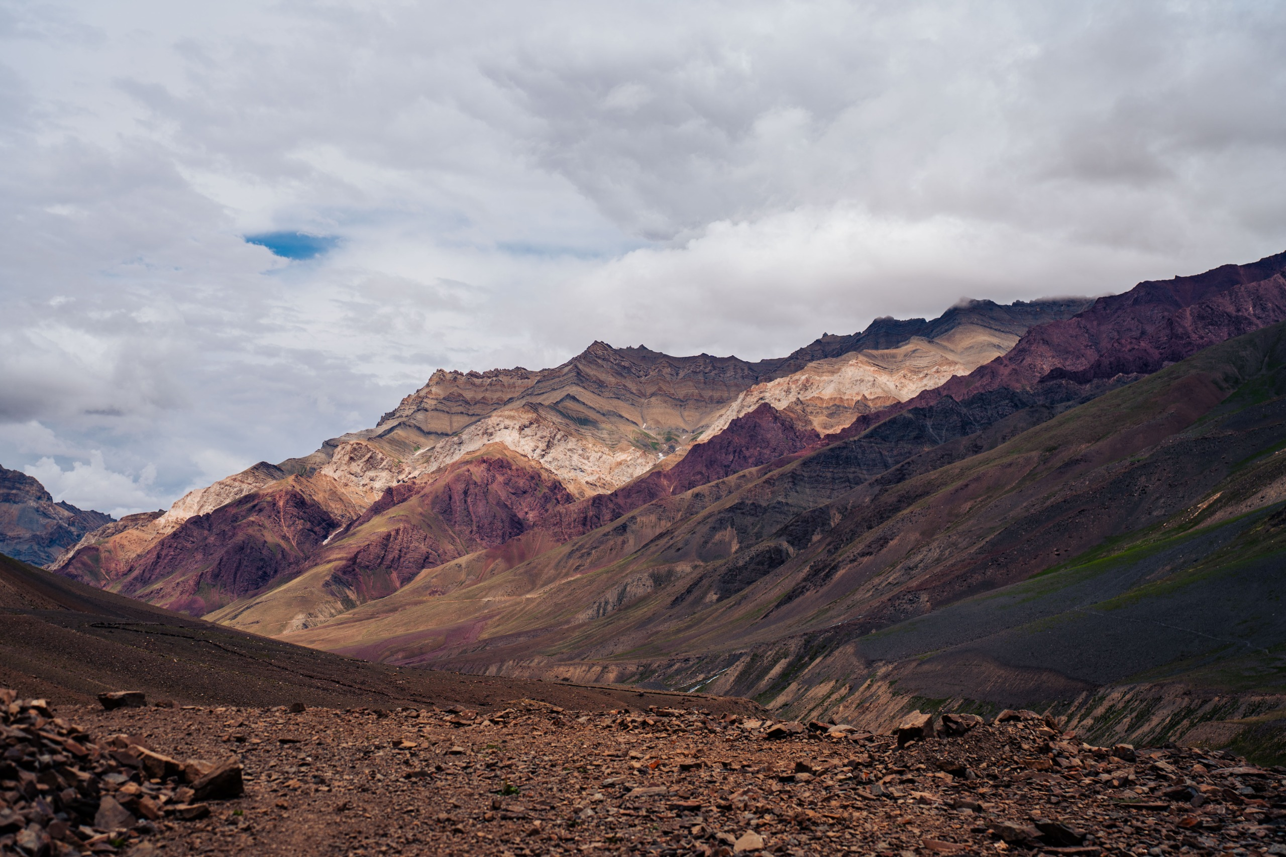
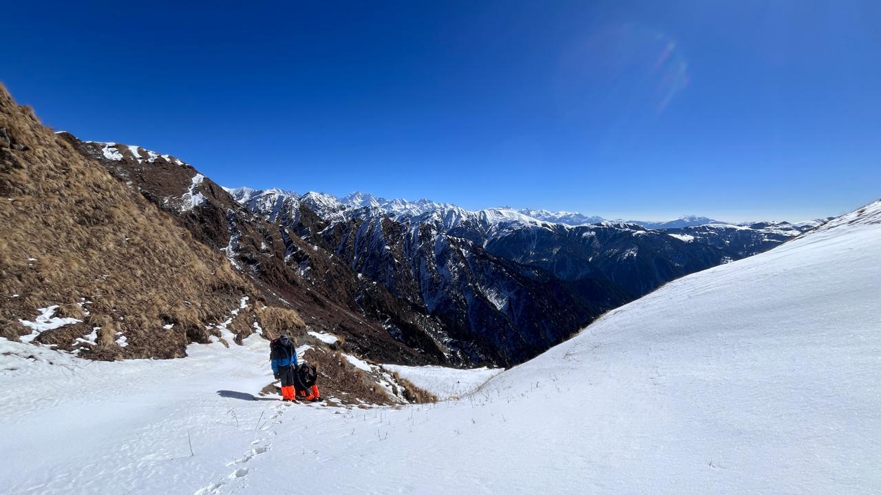
The trail becomes more demanding today. You'll continue along the Pin River, but the path becomes rougher with a mix of rocks and moraine. You'll be gaining significant altitude as you ascend towards the base of the pass. The Pin Base Camp is located in a high, desolate area, a world away from the villages below, and serves as a vital stop for acclimatization before the final push.
Highlights: The towering, multi-hued rock formations of the Pin Valley. The feeling of being completely surrounded by the high-altitude wilderness.
Challenges: The steep, unrelenting ascent and the lack of vegetation. This is a day that tests your leg strength and endurance.
Day 4
Pin Base to Advance Camp
Trek Distance – ~5-7 km
Time – 6 hours
Elevation Profile – Pin Base Camp (~14,600 ft) to Advance Camp (~16,300 ft)
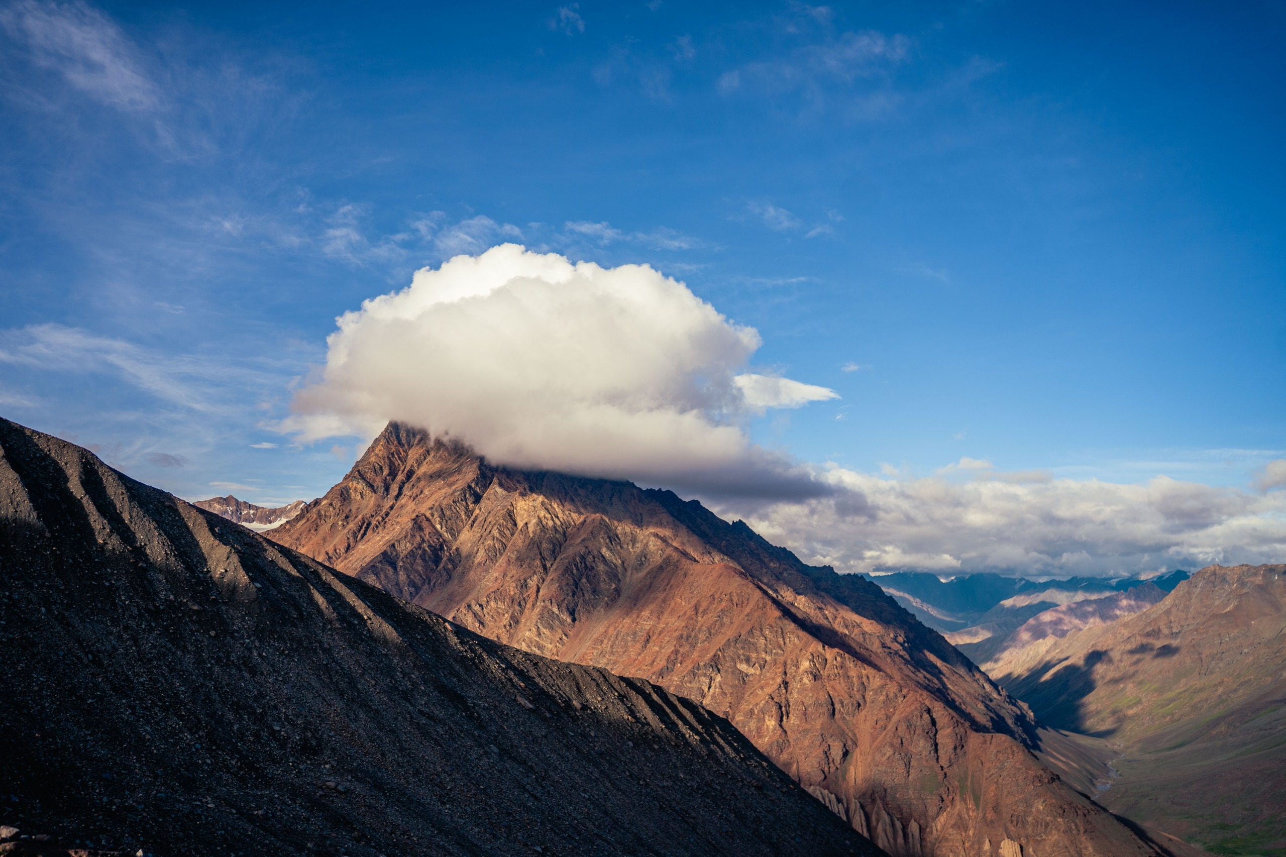
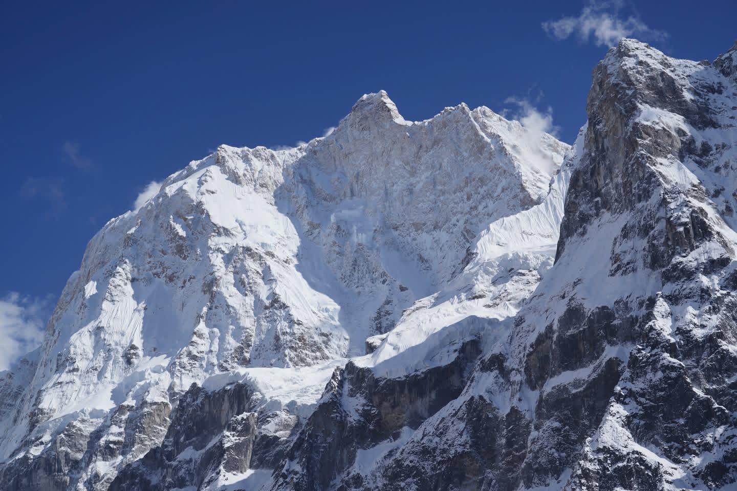
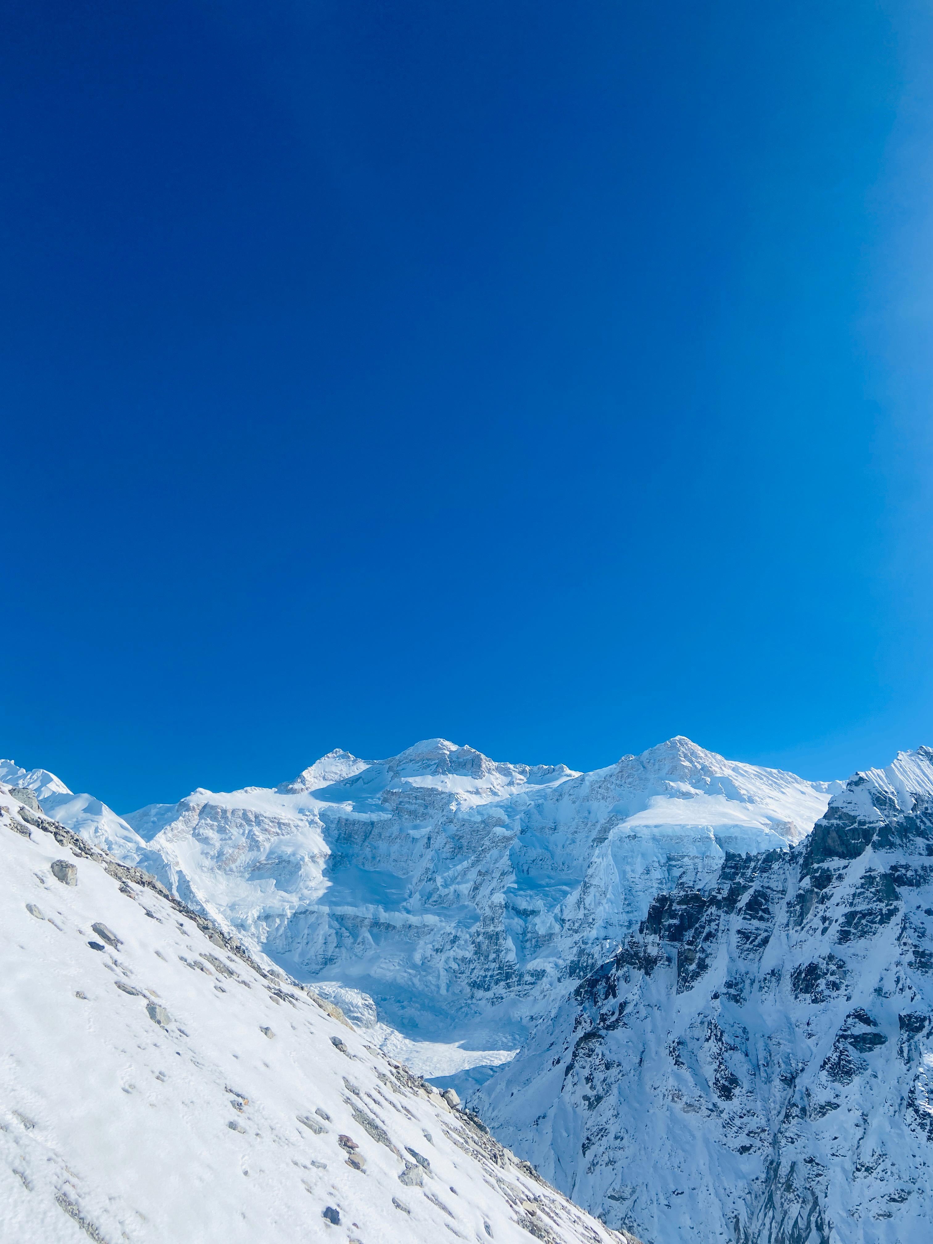
This is a crucial acclimatization day, involving a short but steep climb to the advance camp. The landscape transitions from rocky moraine to snowfields and glaciers as you get closer to the pass. The trail can be tricky to navigate, and your trek leader will use their experience to guide you through the safest route. The advance camp offers a direct view of the pass and prepares you for the long summit day ahead.
Highlights: The alpine atmosphere and the first real encounter with snow and glaciers. The anticipation of the summit.
Challenges: The steep ascent and walking on moraine and potentially snow-covered slopes. The high altitude can begin to take its toll, making a slow and steady pace essential.
Day 5
Advance Camp to Mantalai via Pin Parvati Pass
Trek Distance –10-12 km
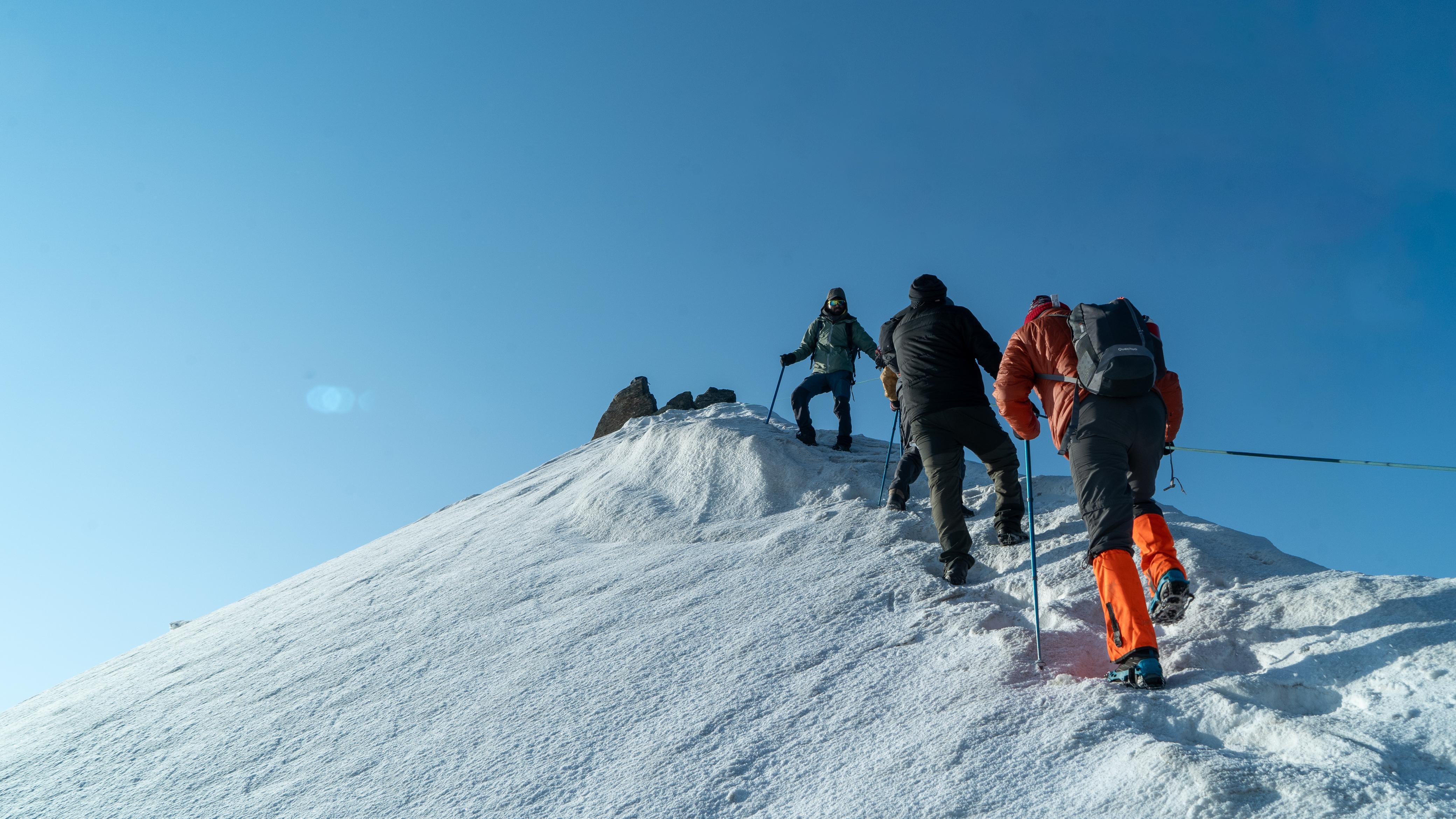
Time – 9-12 hours (This is the longest and most difficult day)
Elevation Profile – Advance Camp (~16,300 ft) to Pin Parvati Pass (~17,450 ft), then descend to Mantalai (~13,500 ft)
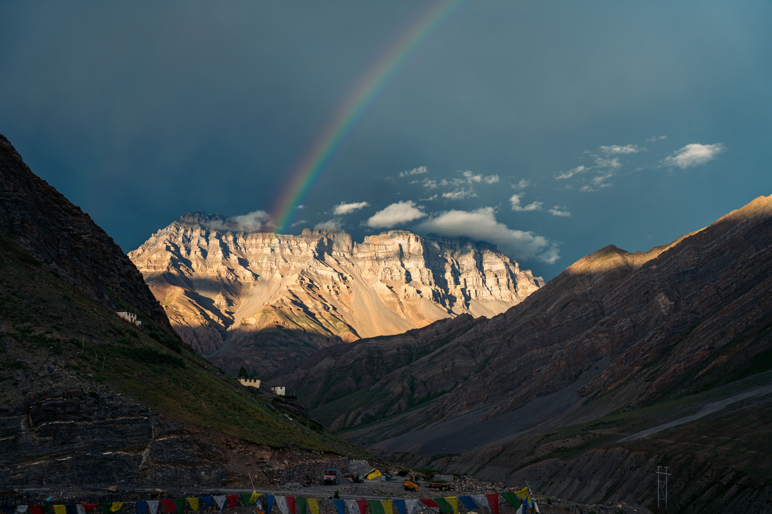
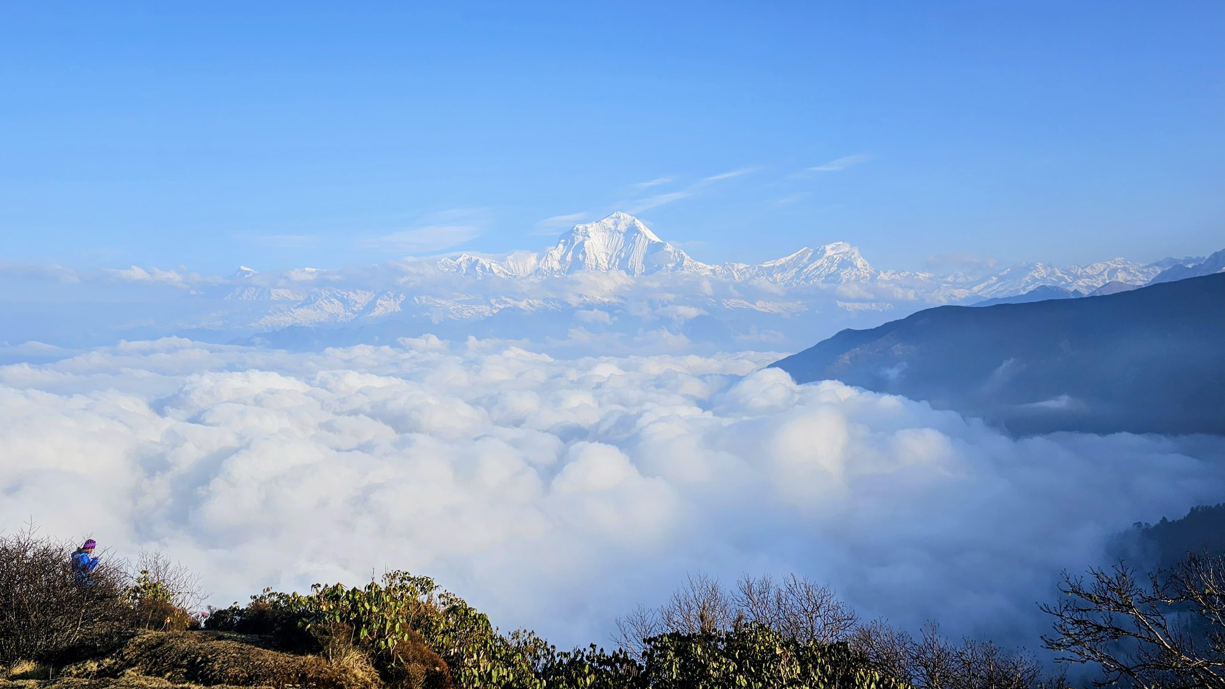
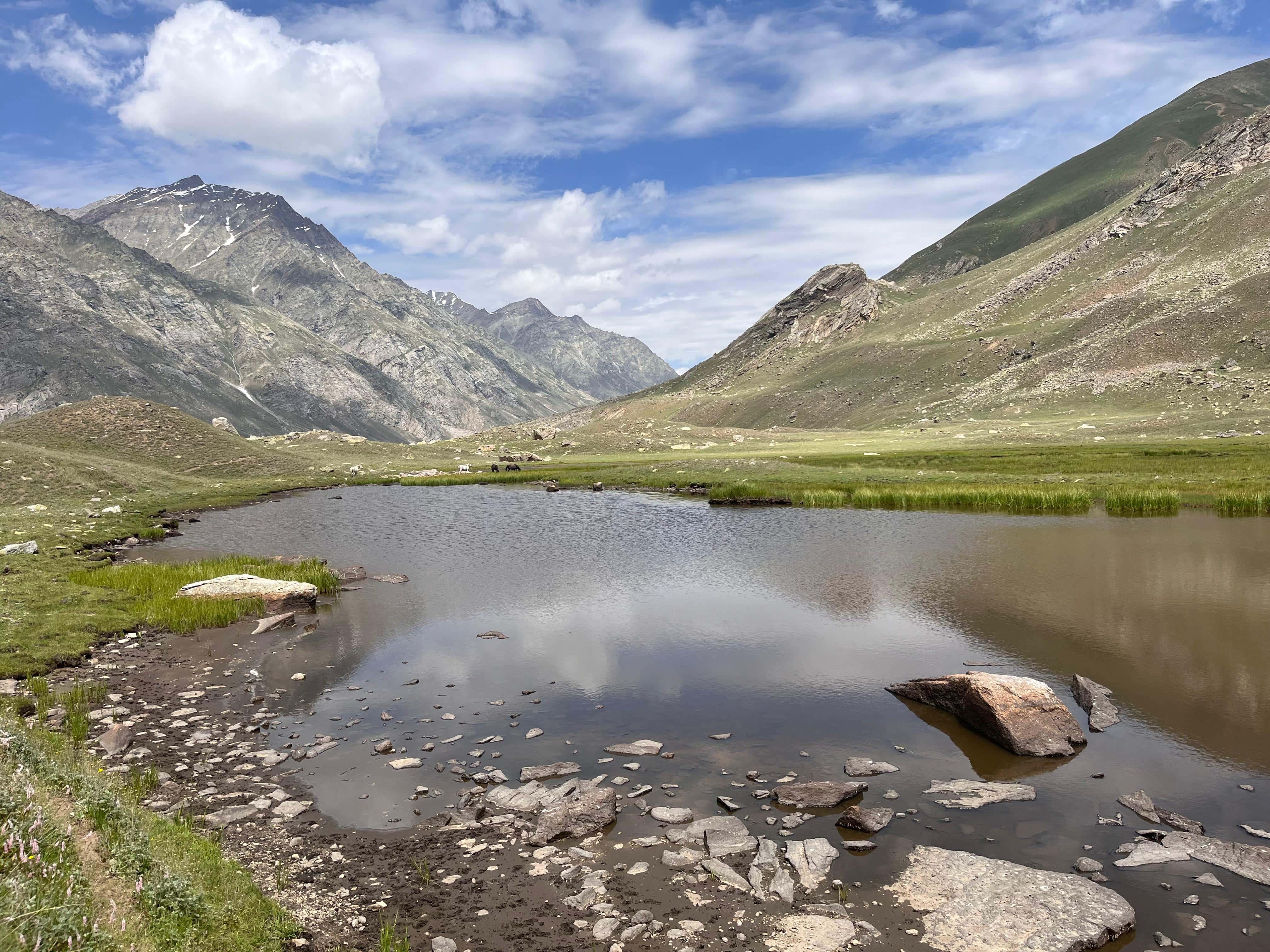
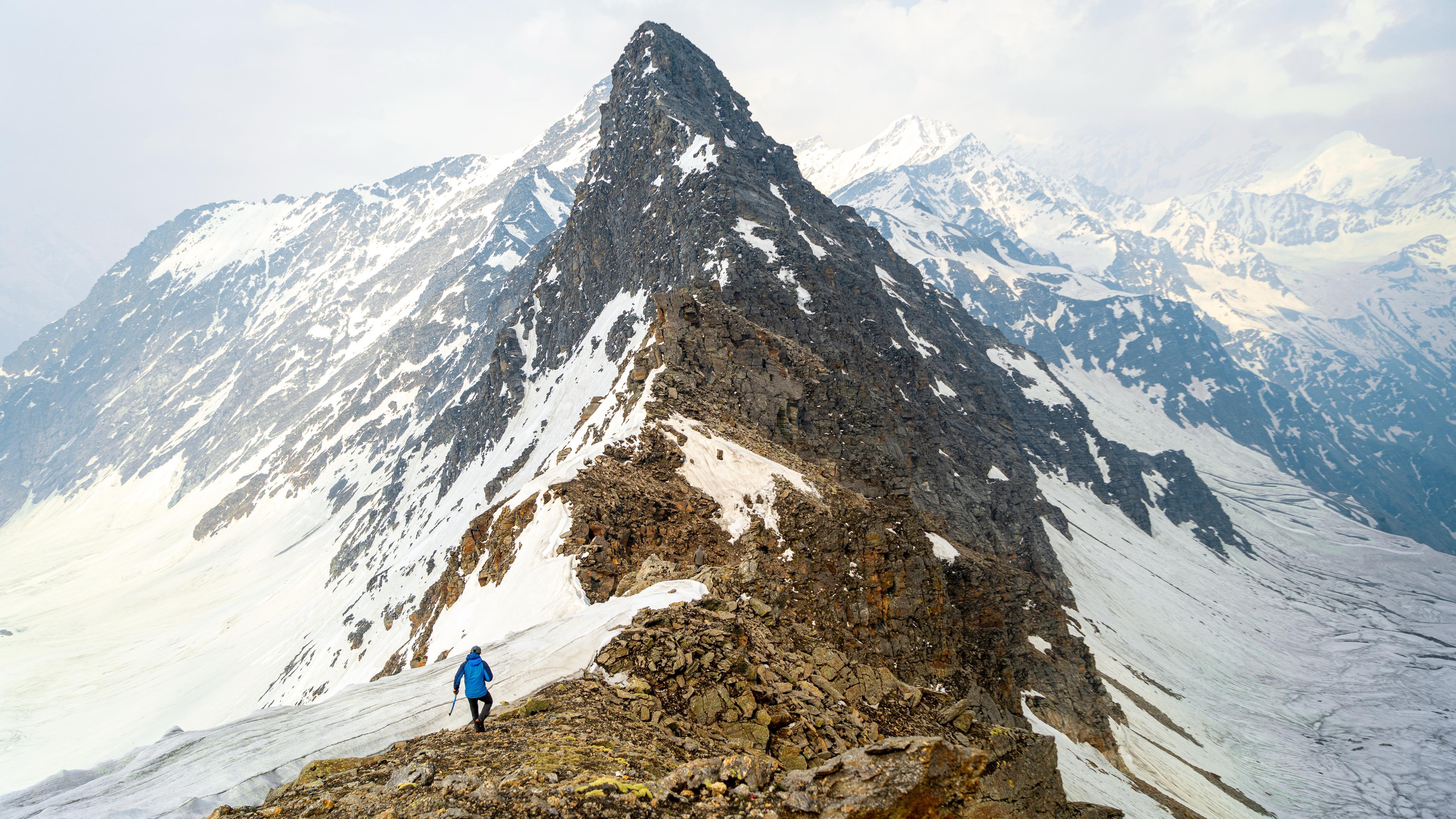
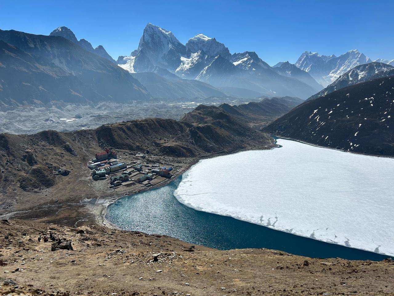
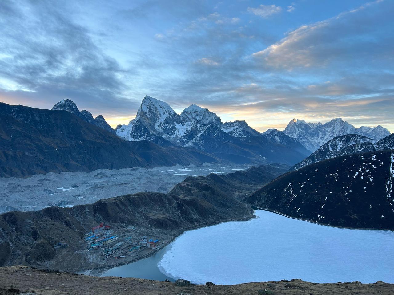
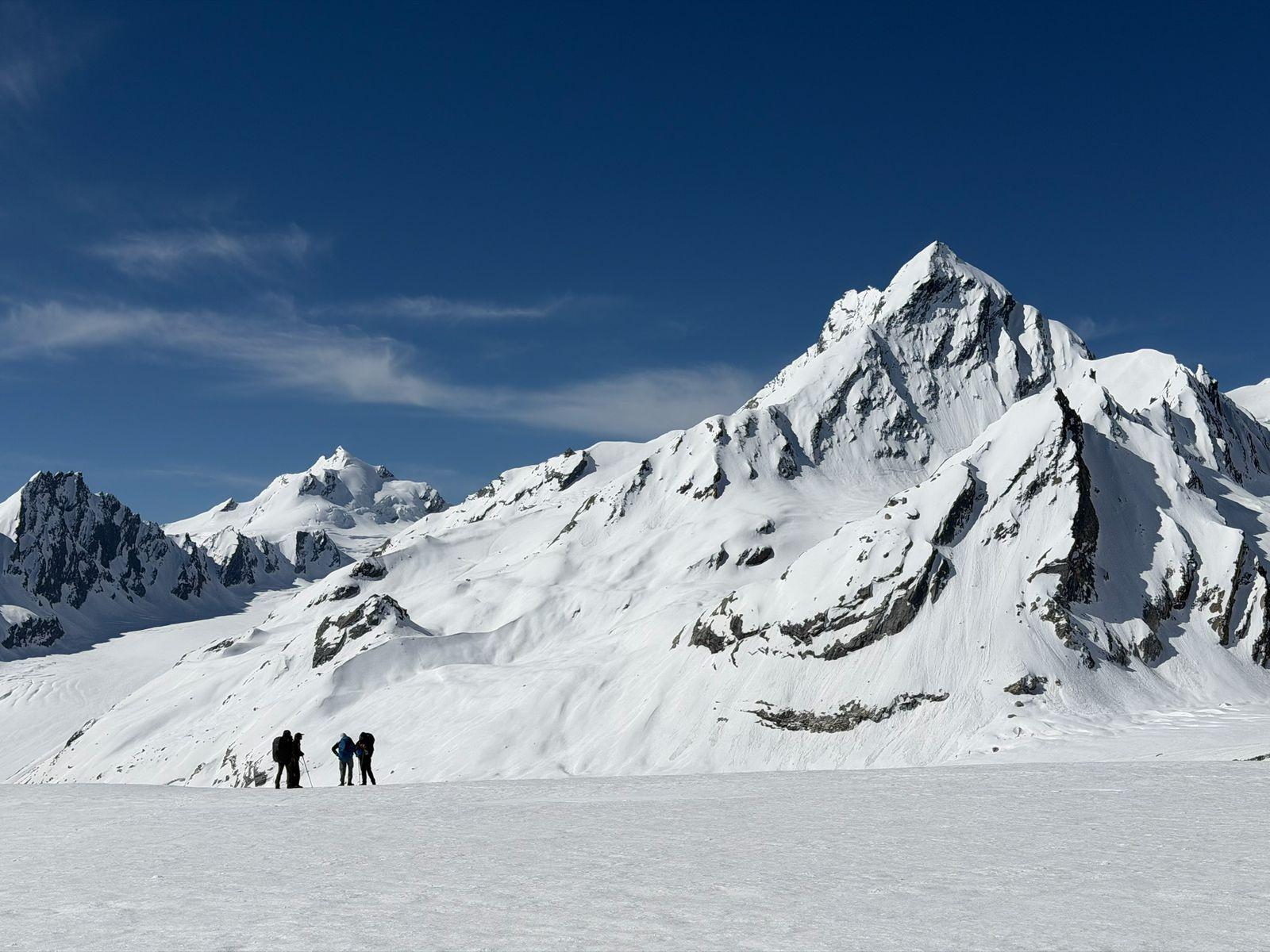
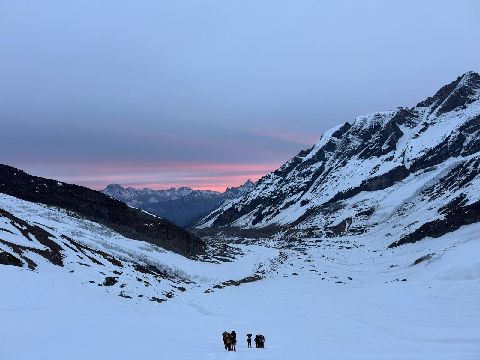
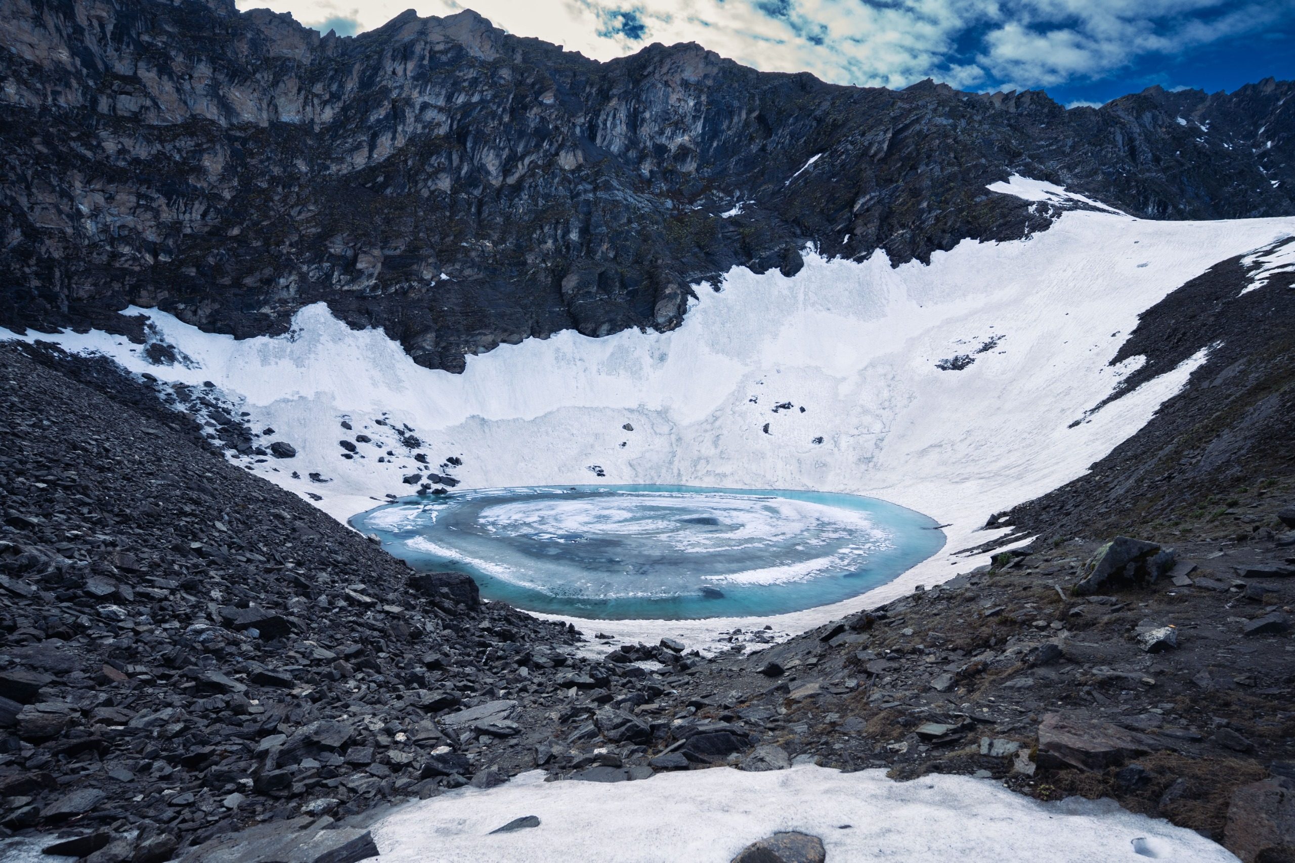
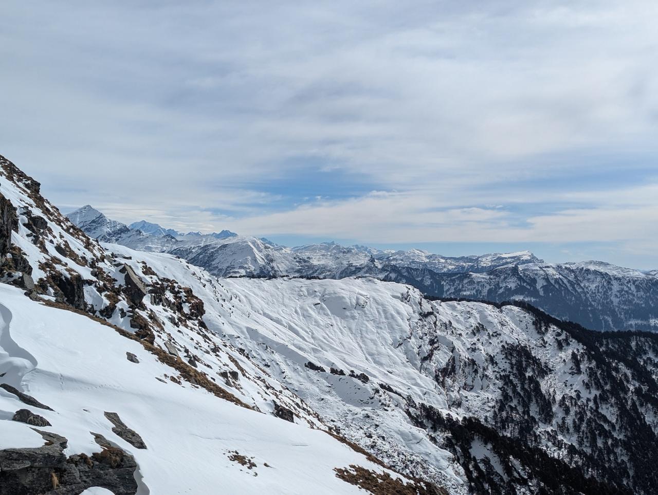
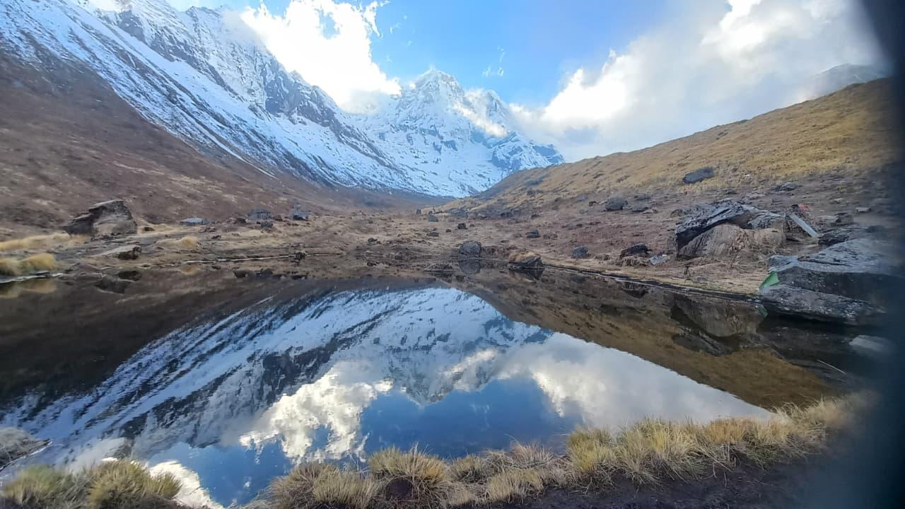
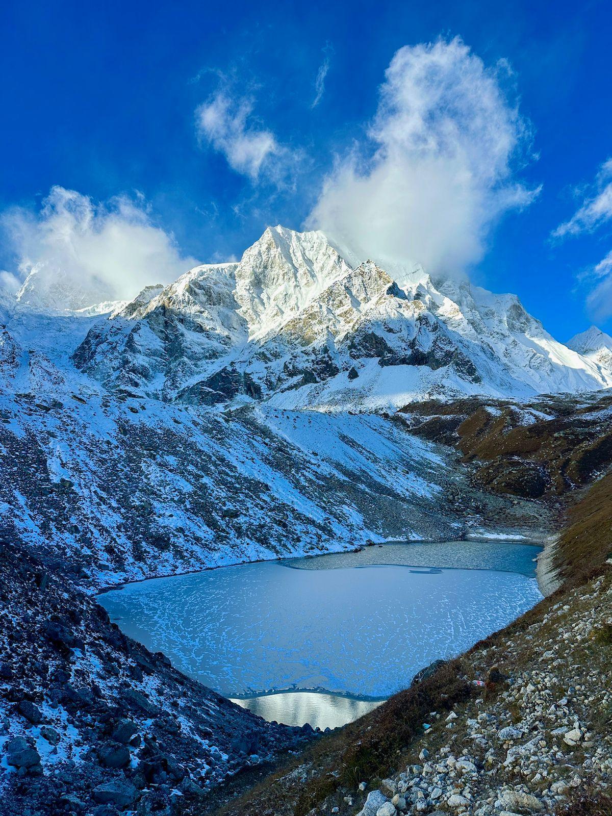
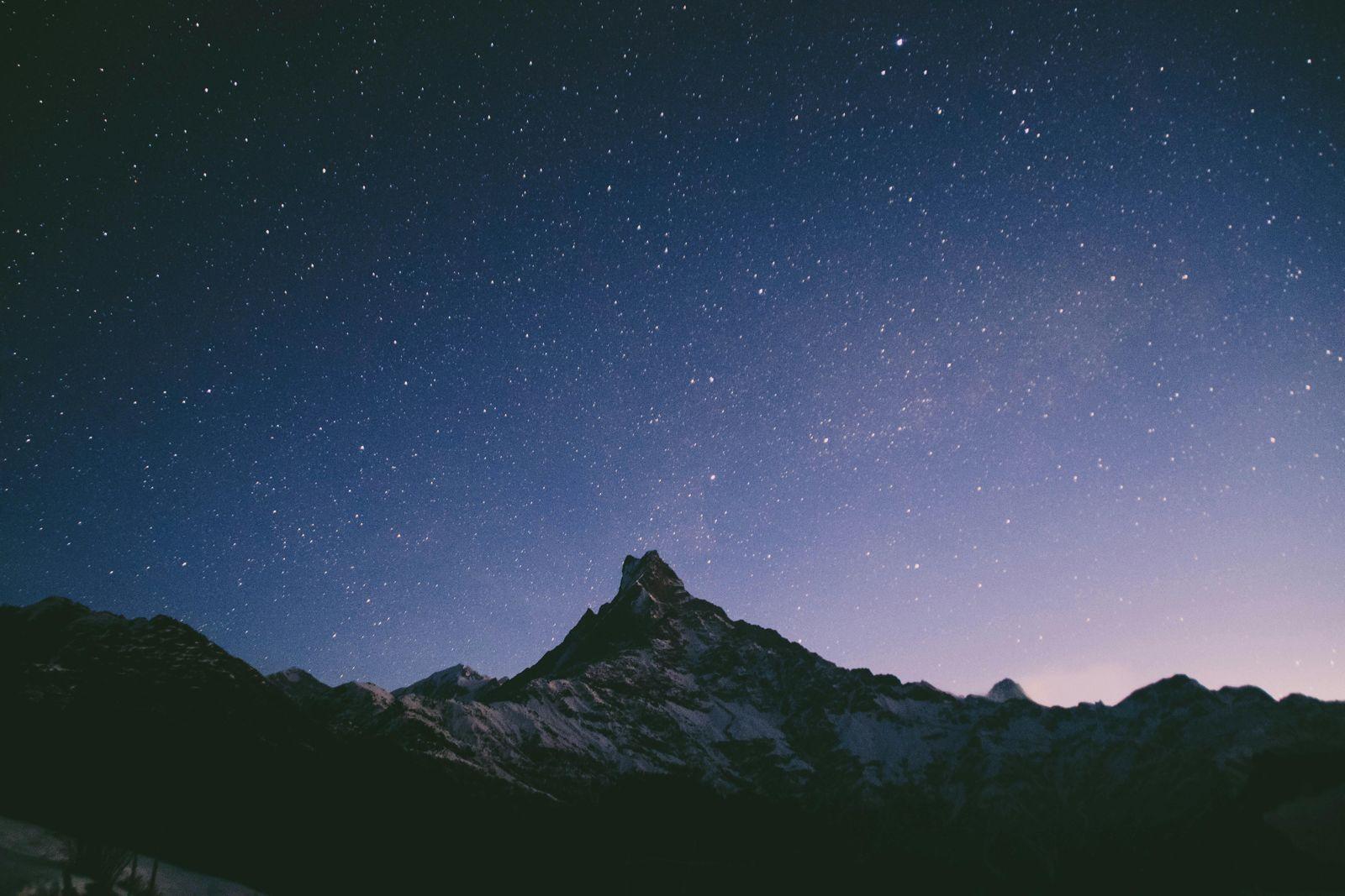
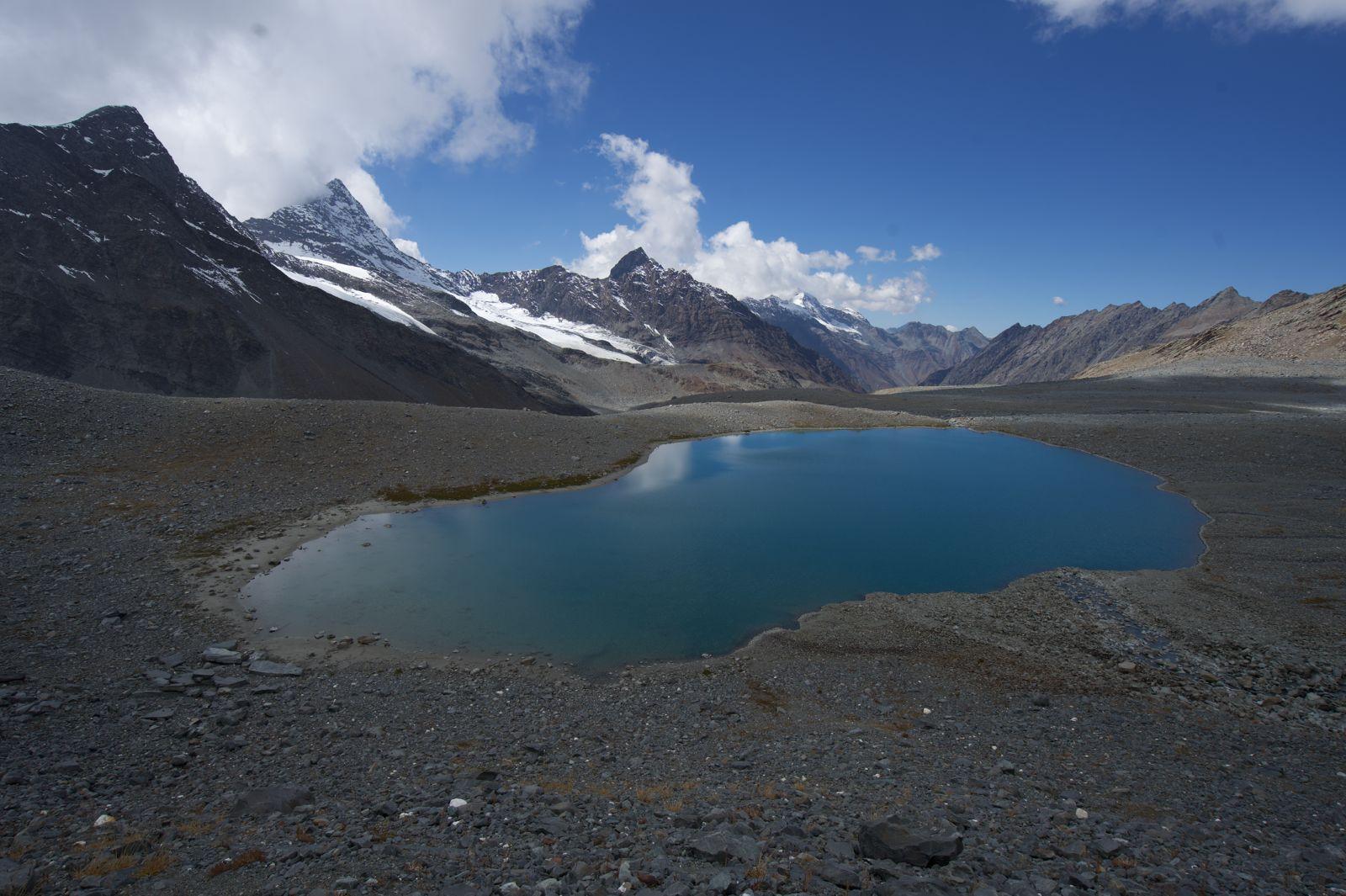
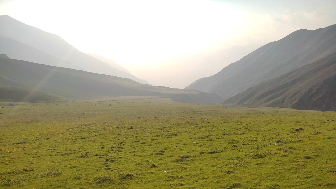
This is the most demanding day, starting very early. You'll make a long, steep ascent on snow and glacier to Pin Parvati Pass (17,450 ft). From the top, you'll witness the dramatic contrast between the barren Pin Valley and the lush Parvati Valley. The descent is long and steep, traversing snow and rocky sections to reach the vast meadows of Mantalai Lake.
Highlights: Reaching the summit, the awe-inspiring view from the top, and the serene Mantalai Lake.
Challenges: The sheer length and difficulty of the day (9-12 hours) and the treacherous descent.
Day 6
Mantalai to Odi Thach
Trek Distance – ~13 km
Time – 12–14 hours
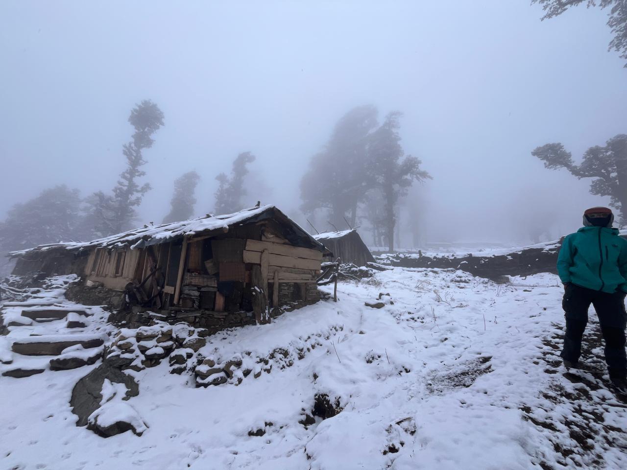
Elevation Profile – Mantalai (~13,500 ft) to Odi Thach (~12,400 ft)
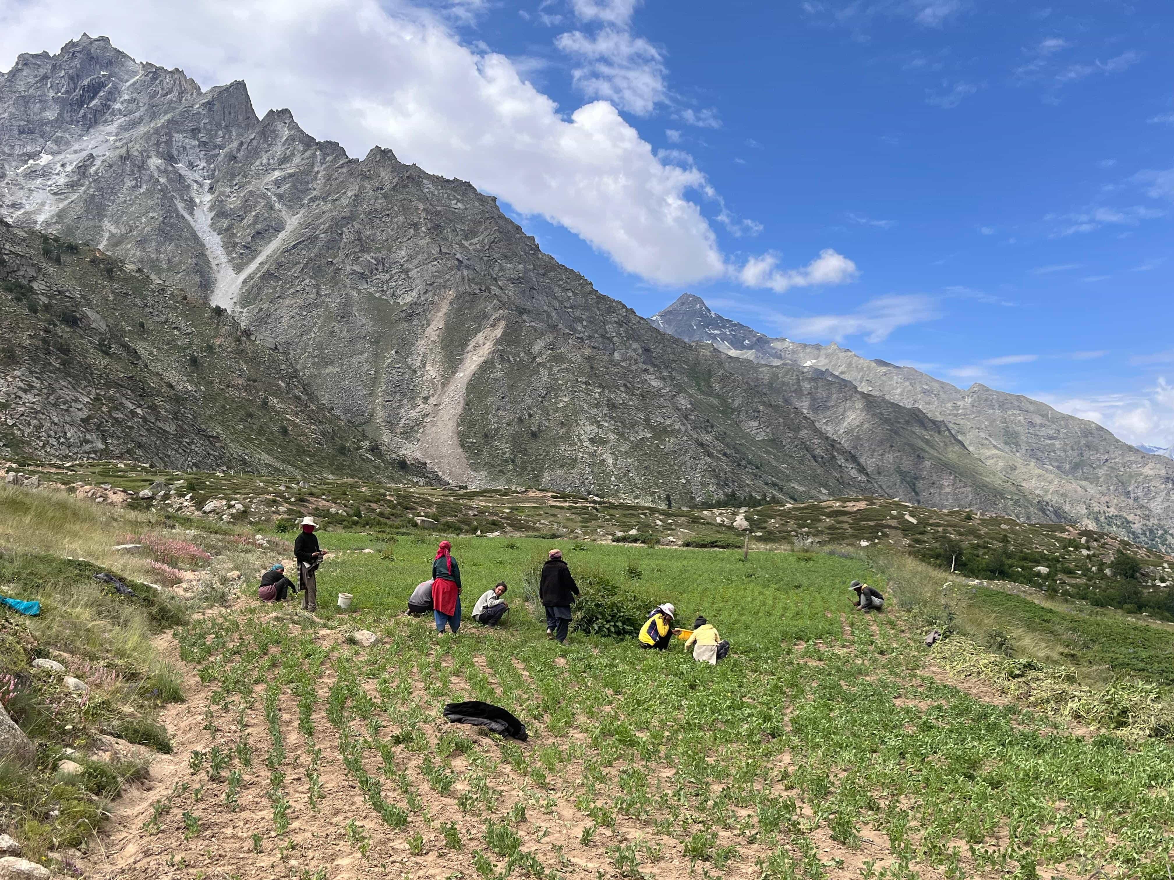
This is a long and challenging day, involving a gradual descent from Mantalai Lake along the Parvati River. The main challenge is navigating the notorious Thakur Kuan traverse. This section is a narrow, rocky trail on a cliff face with a sheer drop to the river below, demanding absolute focus and confidence. You will also have to cross the river via a rock bridge known as Pandu Pul. After the traverse, the trail opens up into the wide, green meadows of Odi Thach.
Highlights: The dramatic change in landscape from alpine moraine to lush meadows.
Challenges: The mentally and physically demanding Thakur Kuan traverse, as well as the long walking distance.
Day 7
Odi Thach to Tundabhuj
Trek Distance – ~10-12 km
Time – 5-6 hours
Elevation Profile – Odi Thach (~12,400 ft) to Tundabhuj (~11,000 ft)
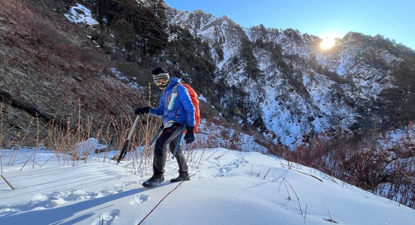
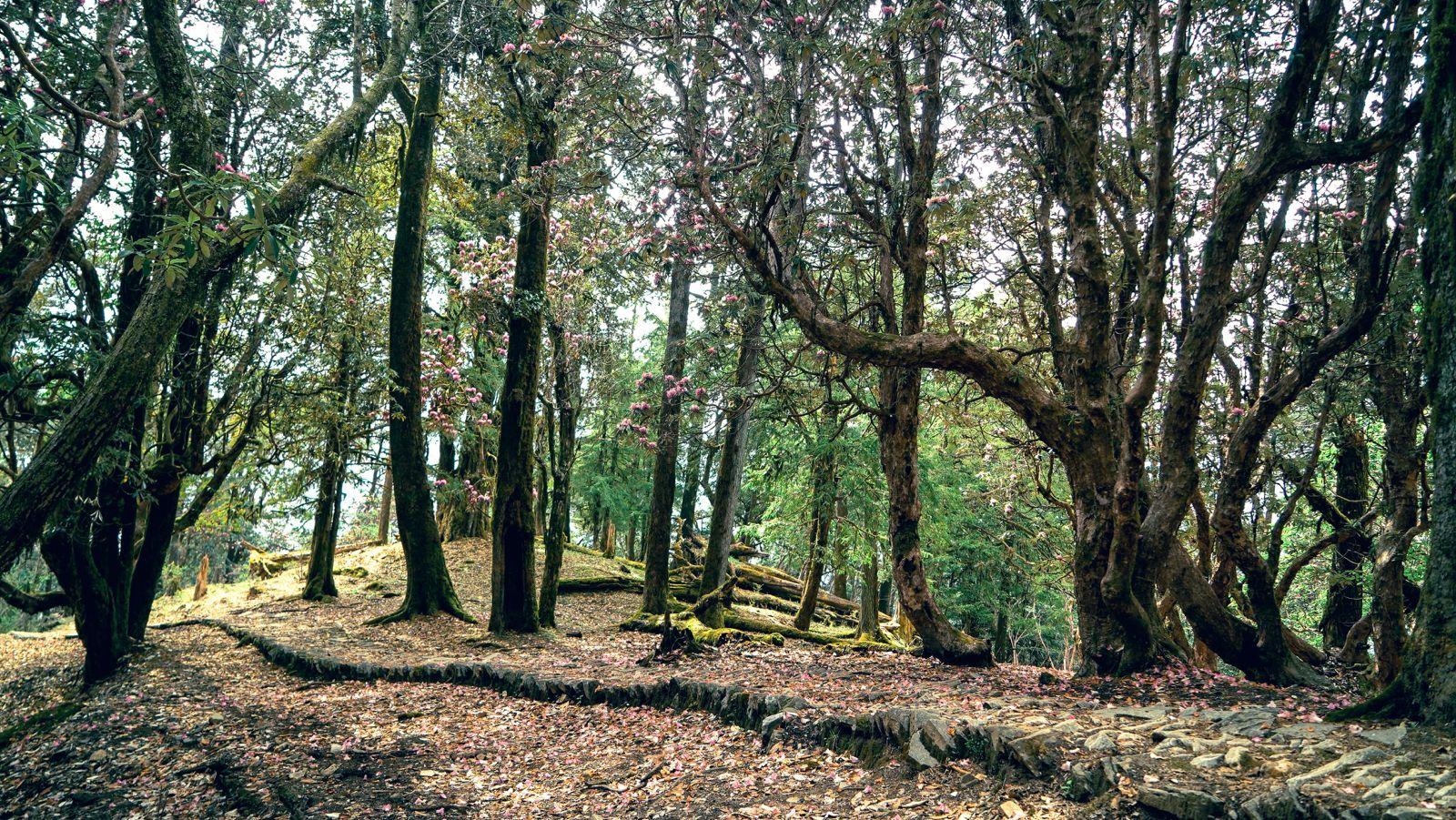
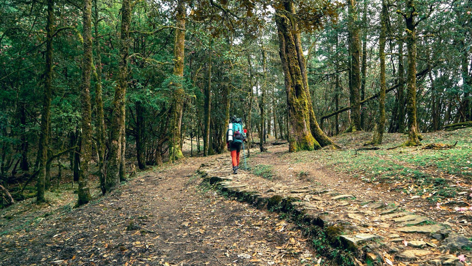
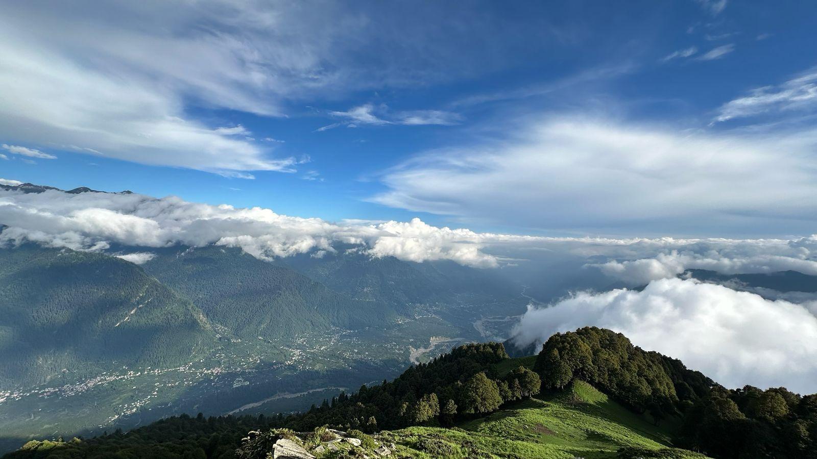
The trek continues its descent, taking you through stunning birch forests and more lush meadows. The trail is well-defined and relatively easier than the previous day. Tundabhuj is known for its beautiful birch trees and scenic cliffs, making for a picturesque campsite by the river.
Highlights: The beautiful meadows and dense birch forests.
Challenges: A long day of downhill trekking, which can be hard on the knees.
Day 8
Tundabhuj to Barshaini. Onwards to Manali/Kullu.
Trek Distance – 13-15 km
Time – 5-6 hours
Elevation Profile – Tundabhuj (~11,000 ft) to Barshaini (~7,200 ft)
This is the final leg of the journey, where you make a last descent through pine forests and past small villages. The trail leads you to the road head at Barshaini, where the trek officially ends. From there, you'll board a vehicle for the drive back to Manali, rejoining civilization.
Highlights: The feeling of accomplishment and a final walk through the forests.
Challenges: The final descent can be steep in parts.
Our Expectations from the participants :
Prerequisites for Pin Parvati Pass Trek
This is a demanding, high-altitude expedition that requires a serious commitment to fitness and a rugged mindset.
Trekking Experience: This is not a trek for beginners. Prior experience on at least two high-altitude treks (above 13,000 ft) is mandatory to understand your body's response to altitude and varied terrain.
Physical Fitness: You must have a high level of cardiovascular endurance and leg strength. You should be able to comfortably run 10-15 km or walk 10 km with a 10 kg backpack. Consistent training for a minimum of 4-6 months before the trek is non-negotiable.
Mental Fortitude: The long days (especially the 9-12 hour summit day), unpredictable weather, and technical sections like the Thakur Kuan traverse require resilience. A positive, team-oriented attitude is essential.
Discalimer
This is a remote and challenging expedition with inherent risks. By joining this trek, you acknowledge and accept the following:
Itinerary is Subject to Change: The trek is highly dependent on weather and trail conditions. The trek leader’s decision on any itinerary changes, including fording rivers or route alterations, will be final in the interest of safety.
Medical Responsibility: While Odyssey provides a trained trek leader and a medical kit, you are responsible for your own health. Any pre-existing medical conditions must be disclosed prior to the trek.
Altitude Sickness Risk: This is a high-altitude trek, and there is an inherent risk of Acute Mountain Sickness (AMS). Acclimatization is a slow process, and there is no guarantee of reaching the summit.
No Retreat: Due to the point-to-point nature of the trek, there are no easy exit points once you begin. Any evacuation from the trail would be complex and time-consuming.
Inclusion
Exclusion
SELECT DATE TO REGISTER


Thank You!
Your form has been submitted successfully. We'll get back to you soon.
₹ 59,499 + 5% GST