

Panwali Kantha sits quietly on a high ridge between the Kedarnath and Gangotri valleys, a place where time moves slowly, and the land feels ancient. Historically, shepherds and pilgrims crossed this ridge for generations, and remnants of those paths still guide trekkers today.
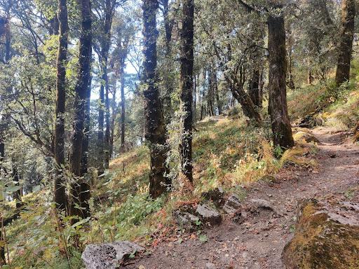
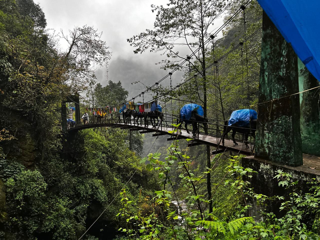
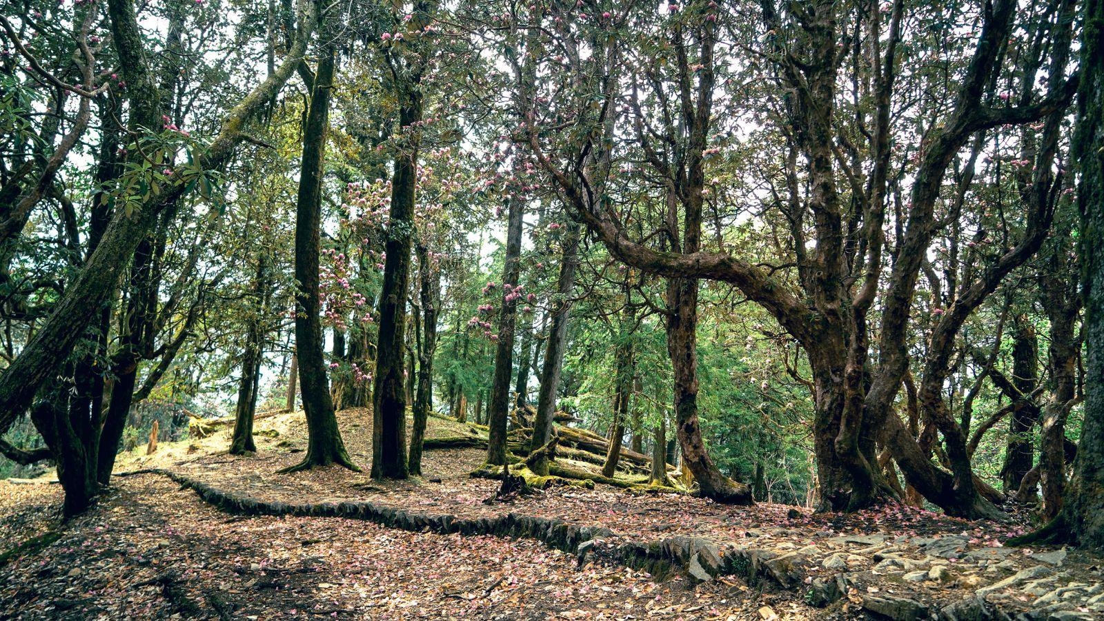
The trek begins at Ghuttu, a modest Garhwali village tucked into pine forests and river folds. From here, trails wind through quiet forests of oak, rhododendron, deodar, and maple. When the Buransh flowers bloom (March–April), the forest turns into a corridor of red petals and sunlight.
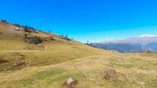
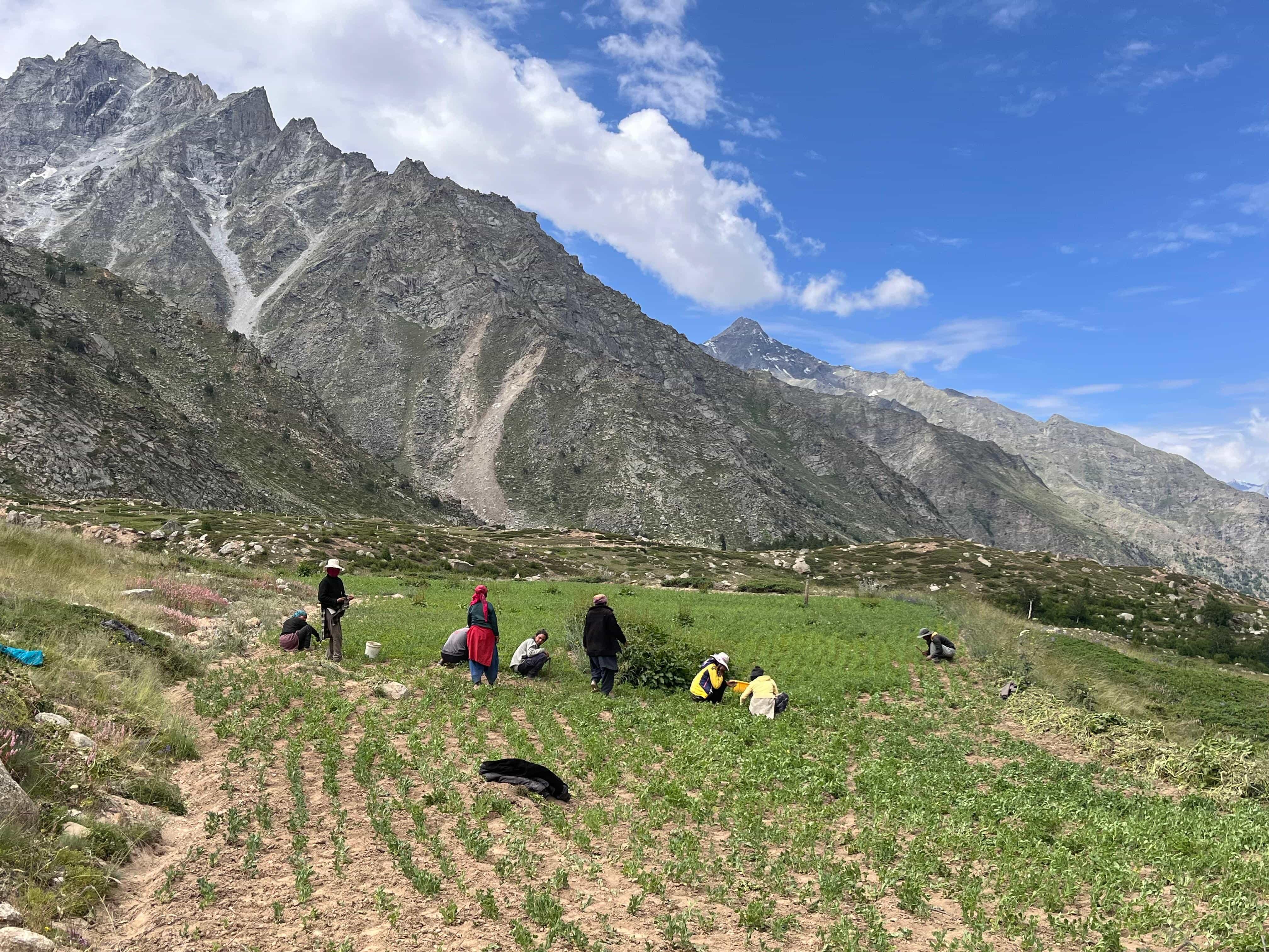
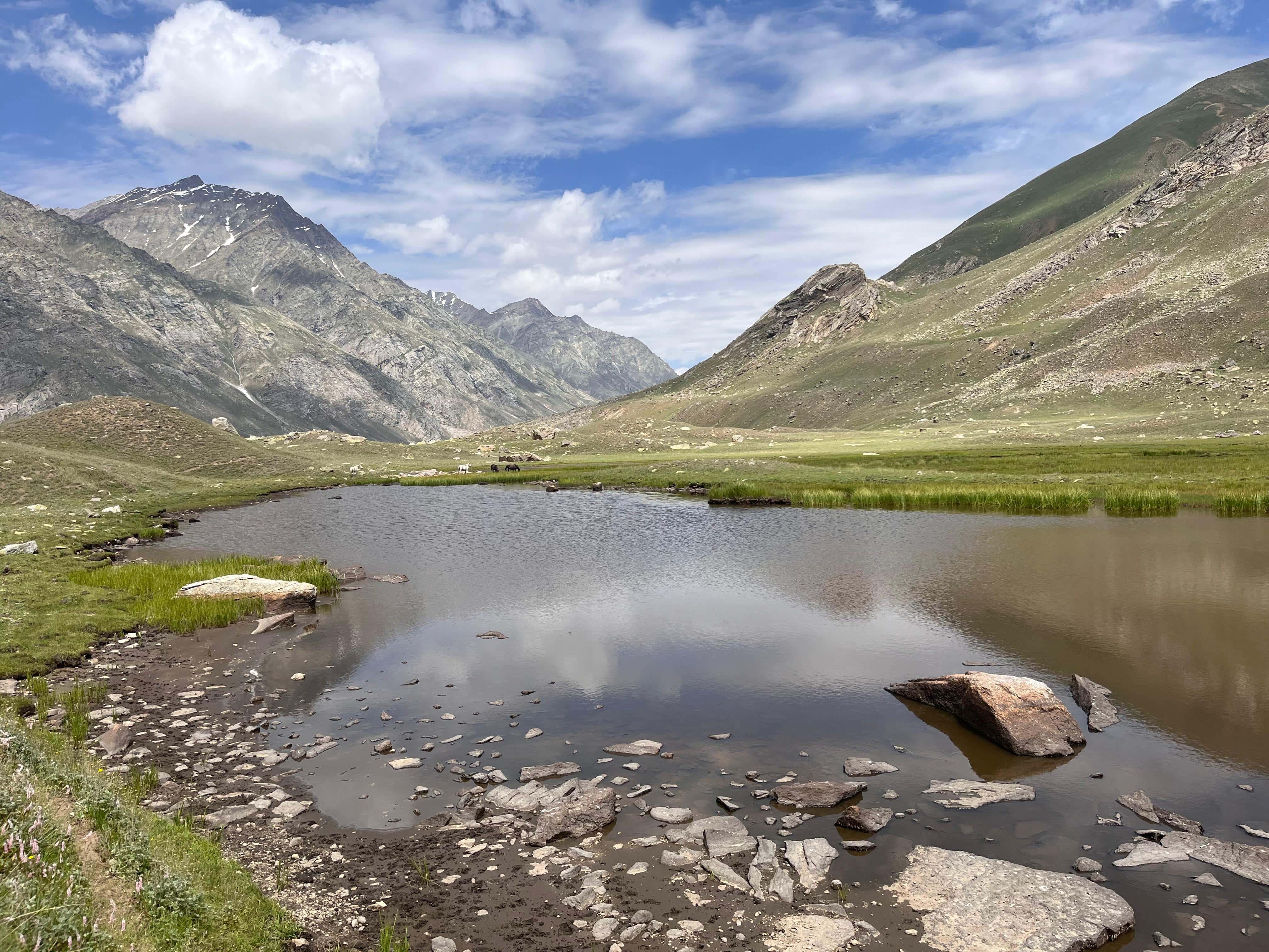
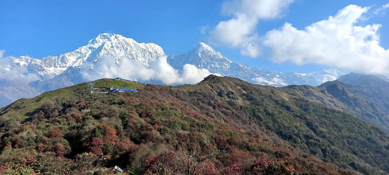
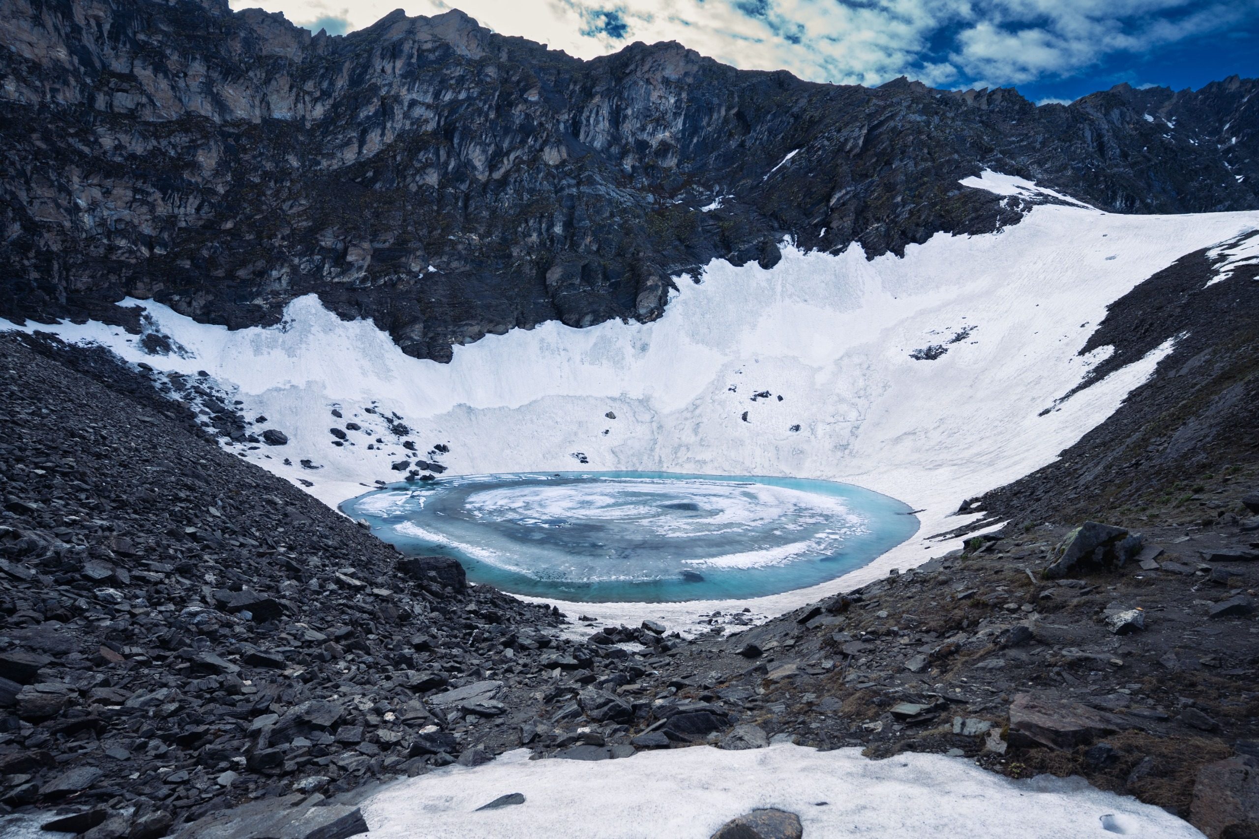
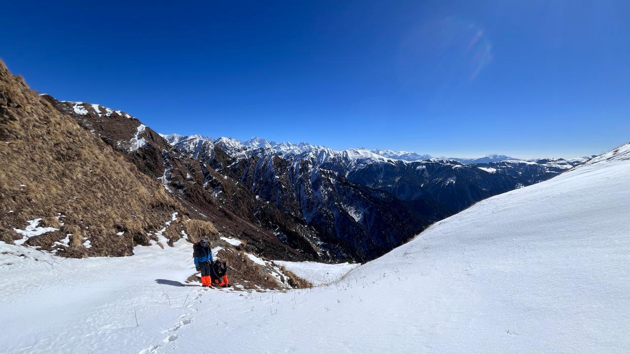
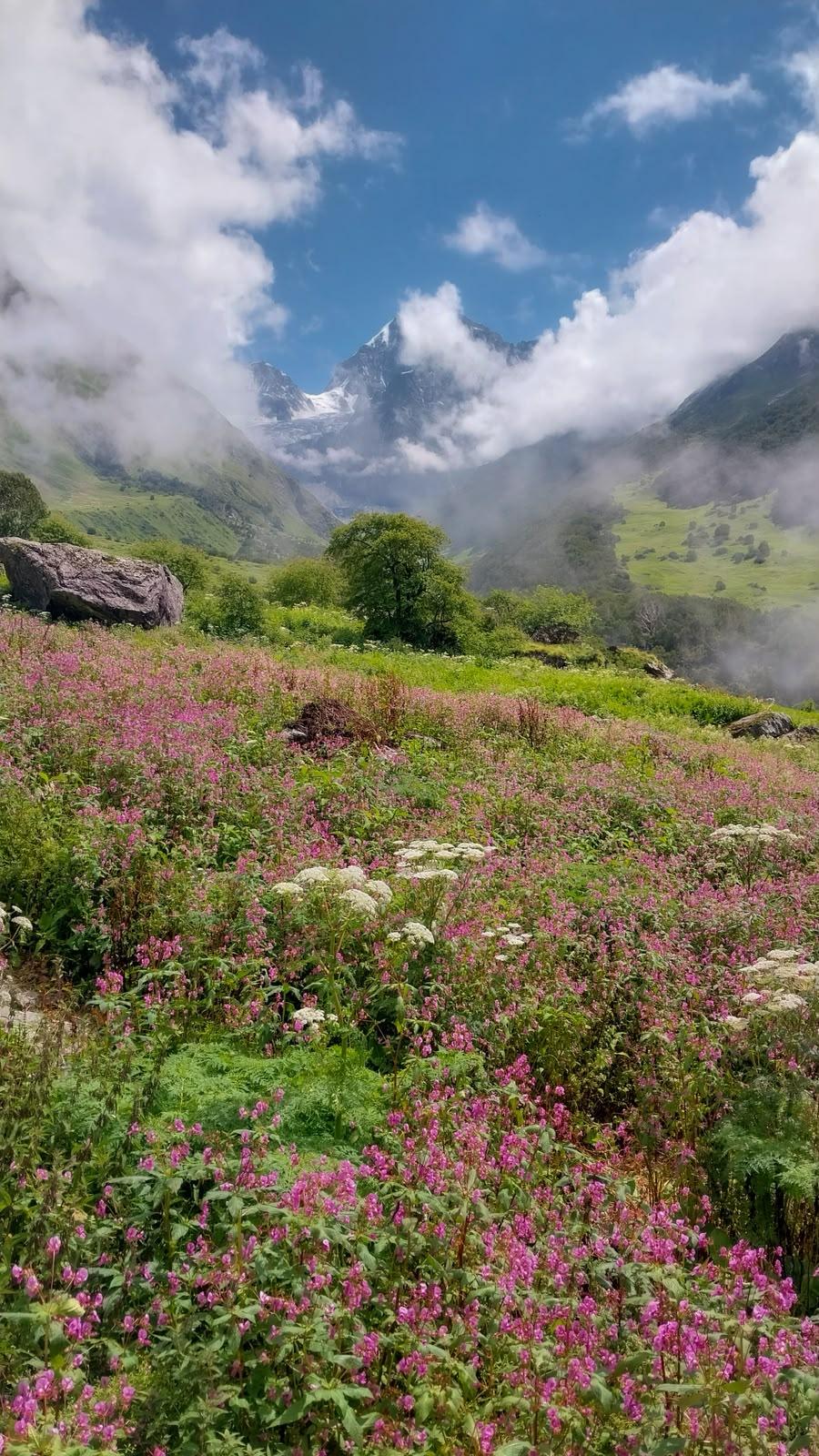
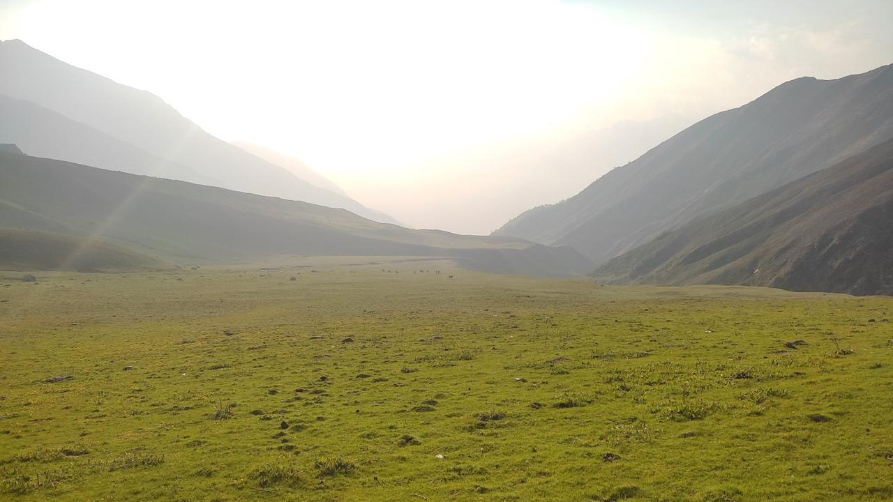
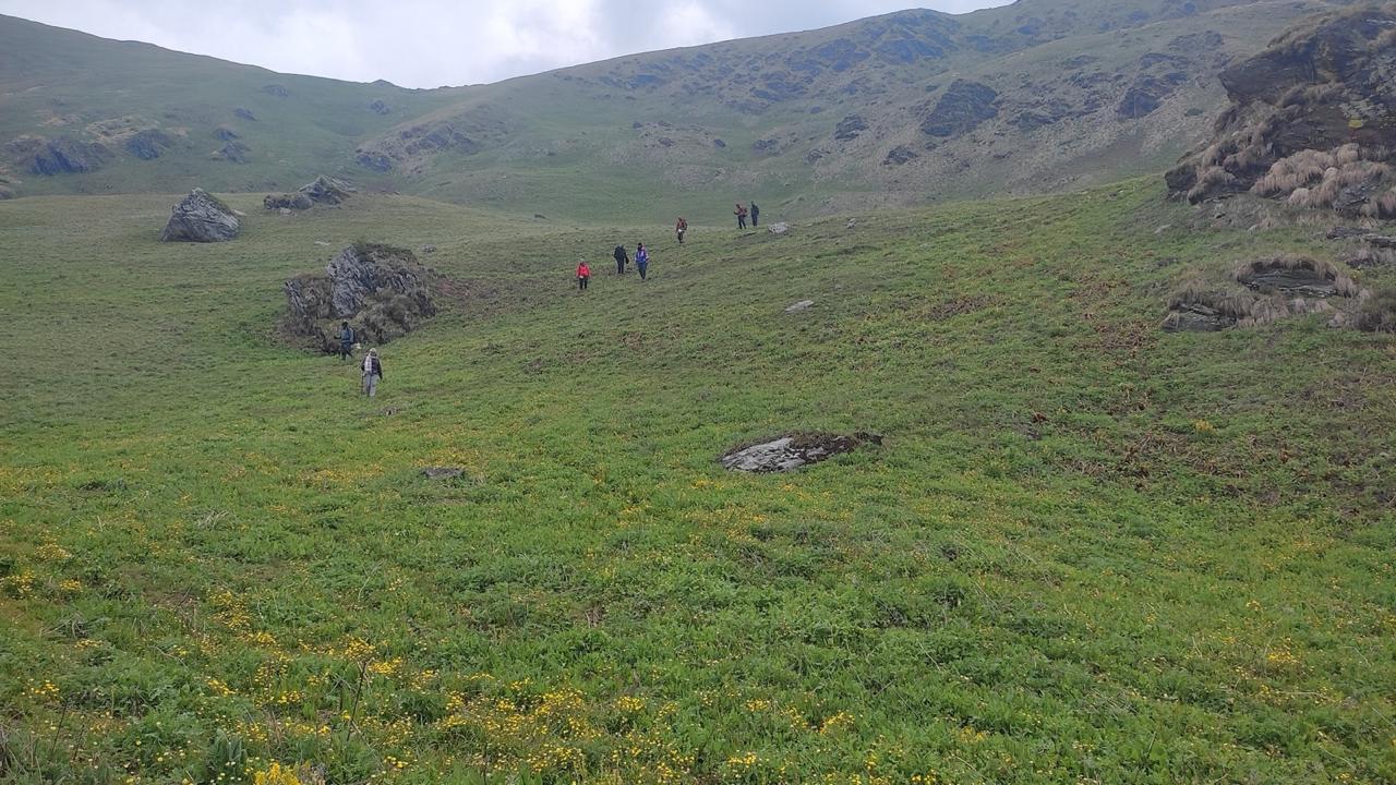
As you gain altitude, the trees thin and the world opens. And then Panwali Kantha reveals itself, a series of undulating alpine meadows stretching into the horizon, almost dreamlike in their scale and silence. These meadows are among the highest and most scenic in Uttarakhand.
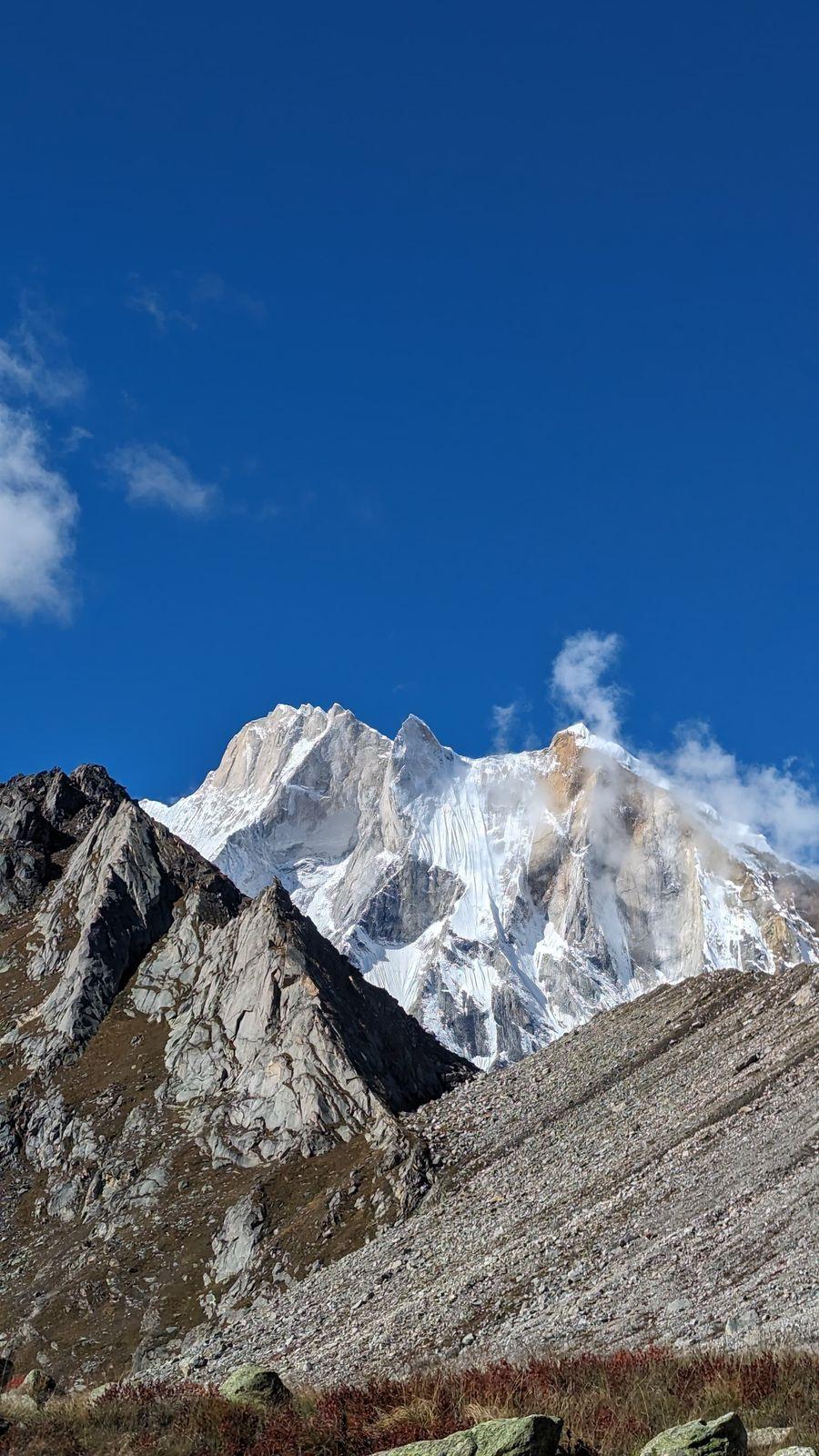
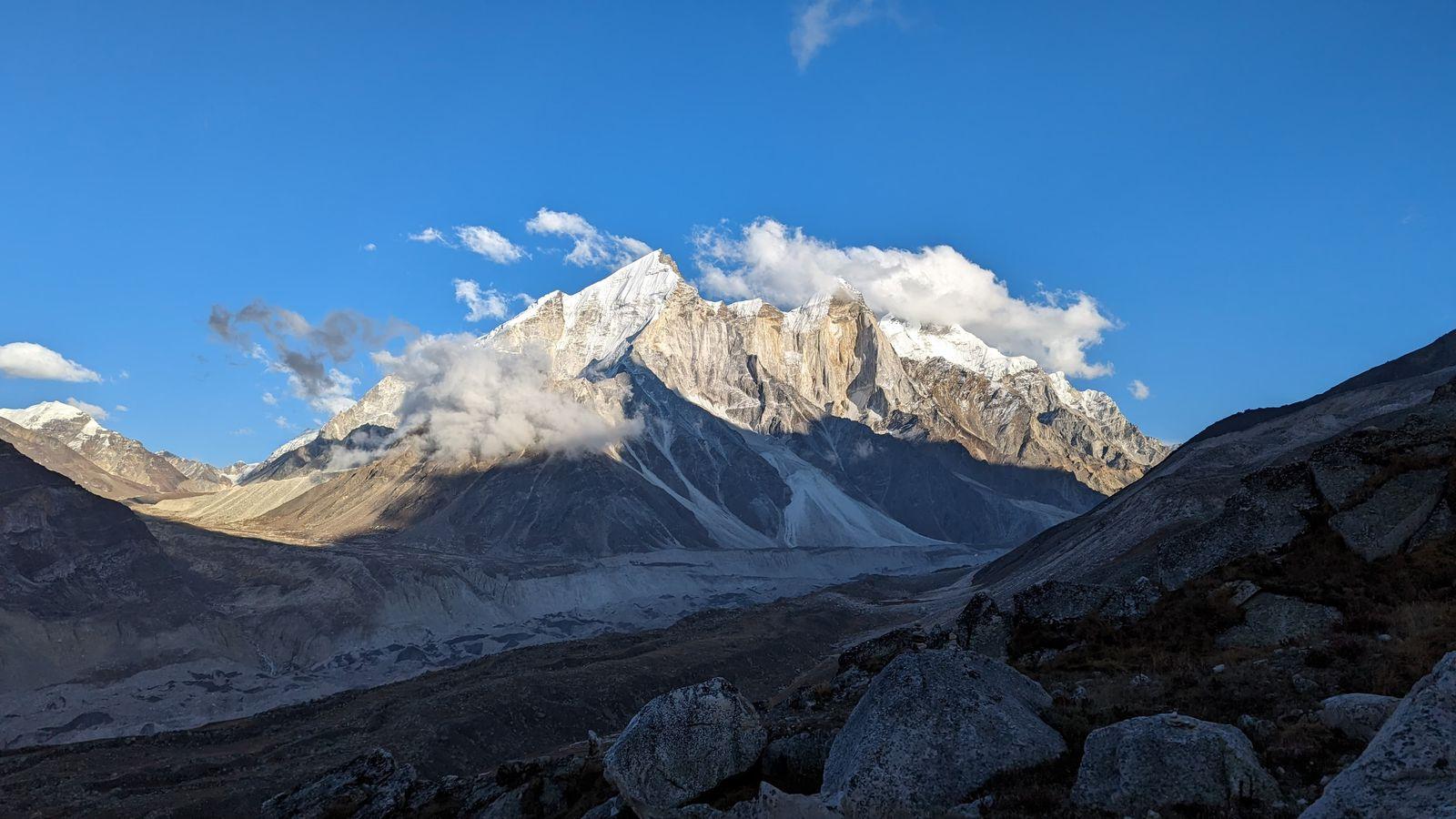
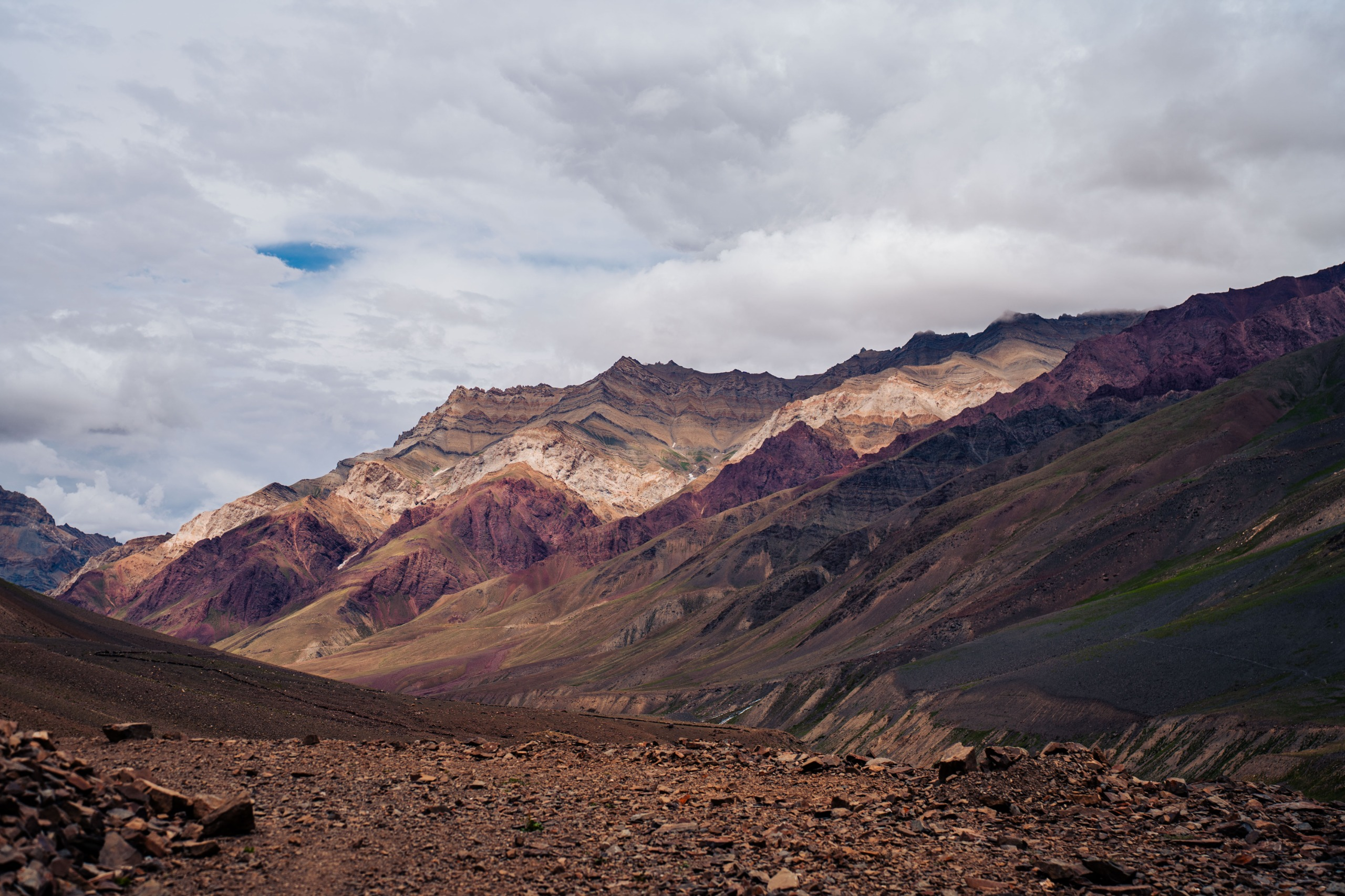
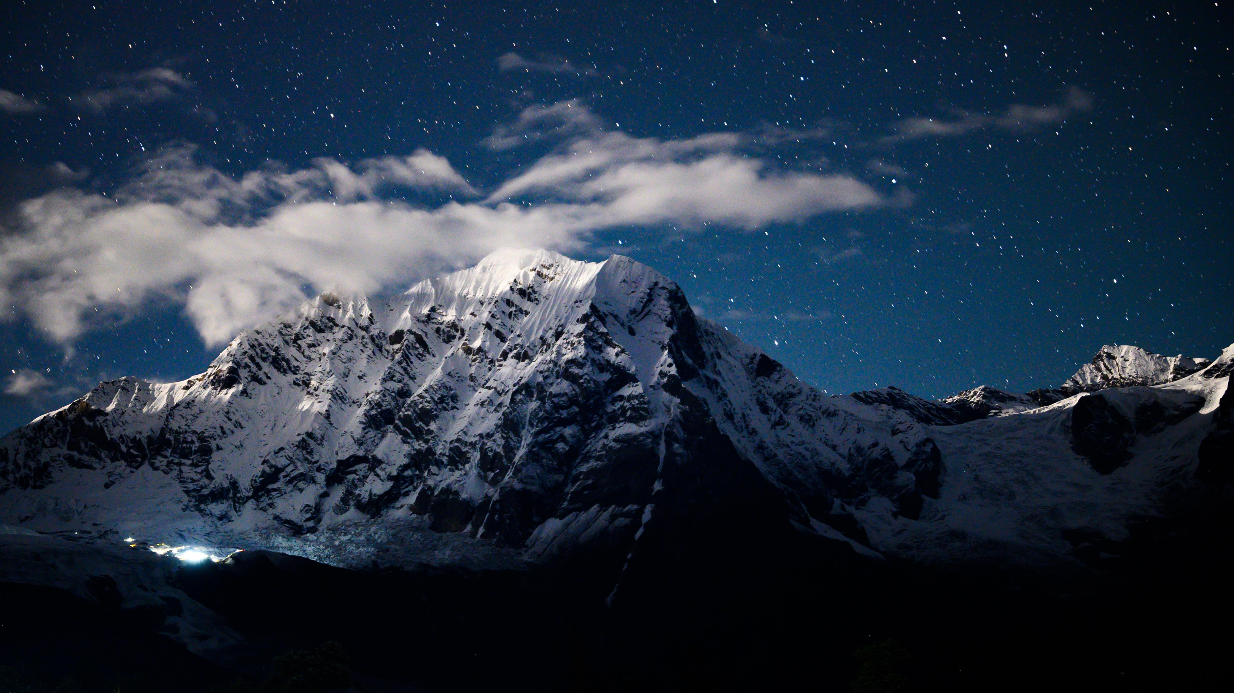
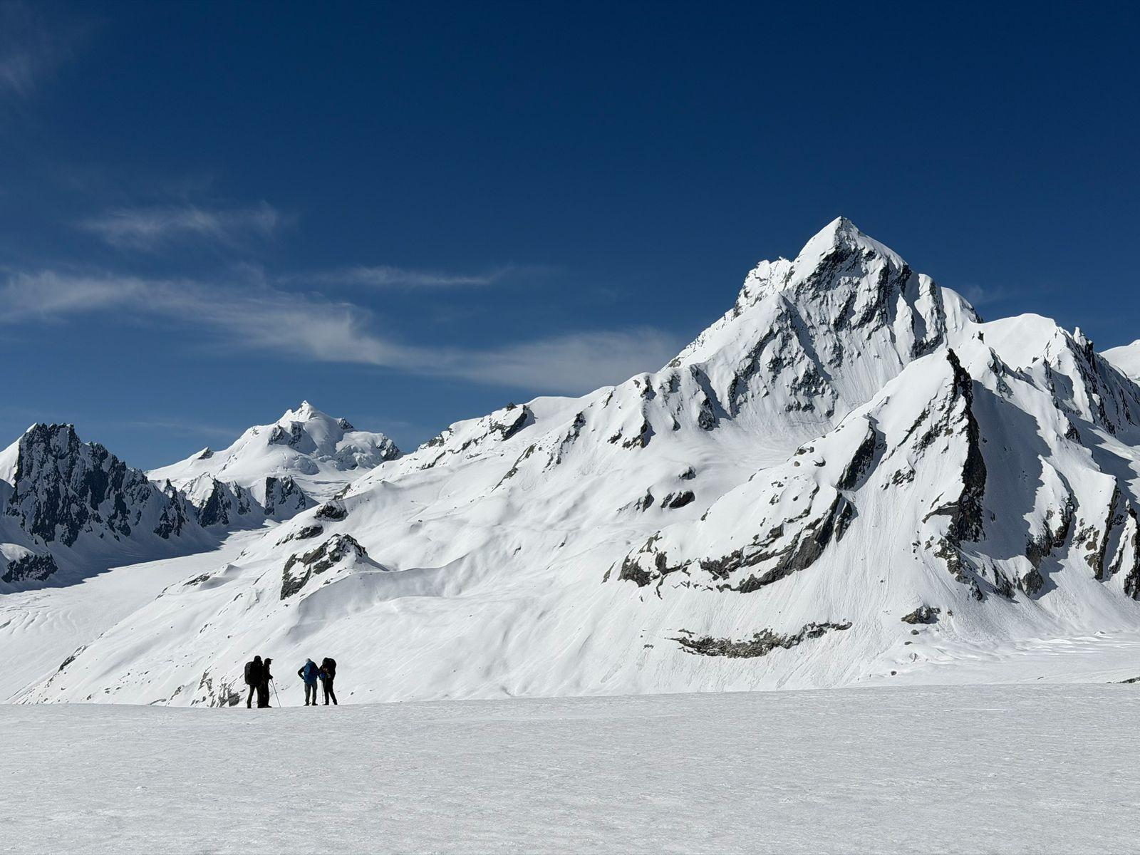
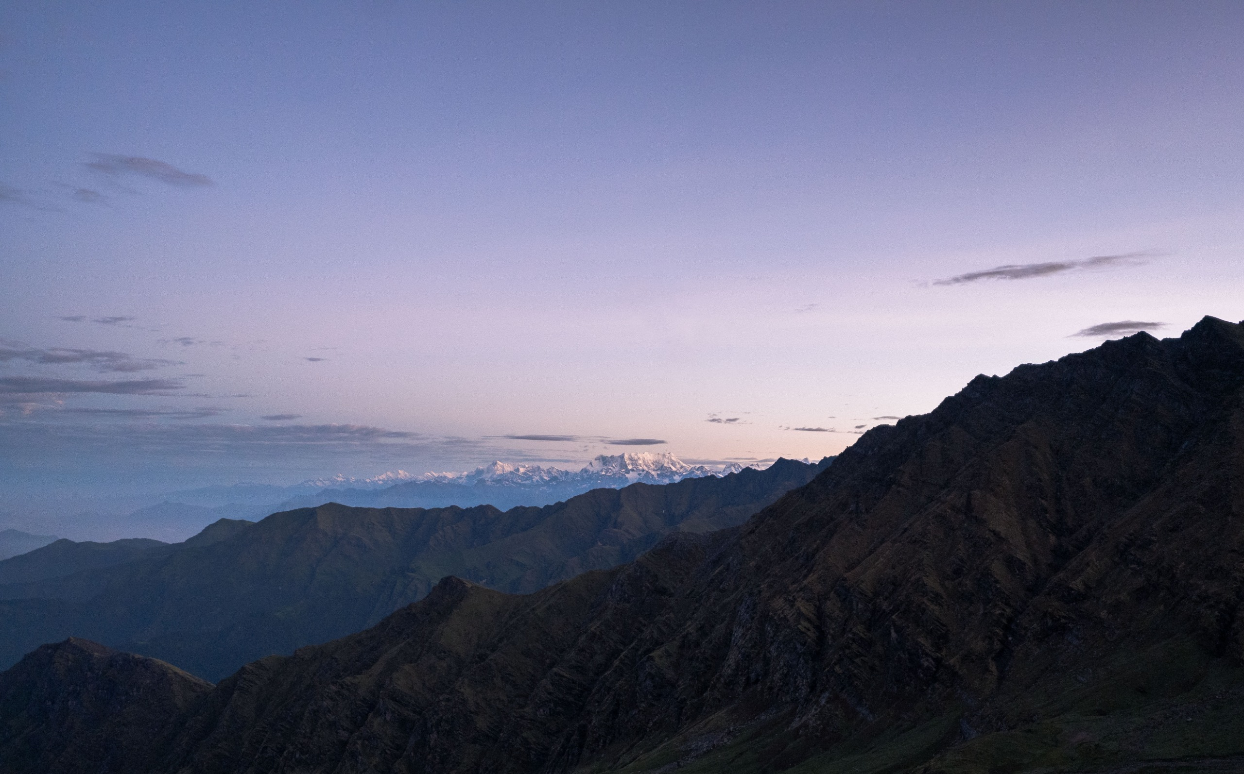
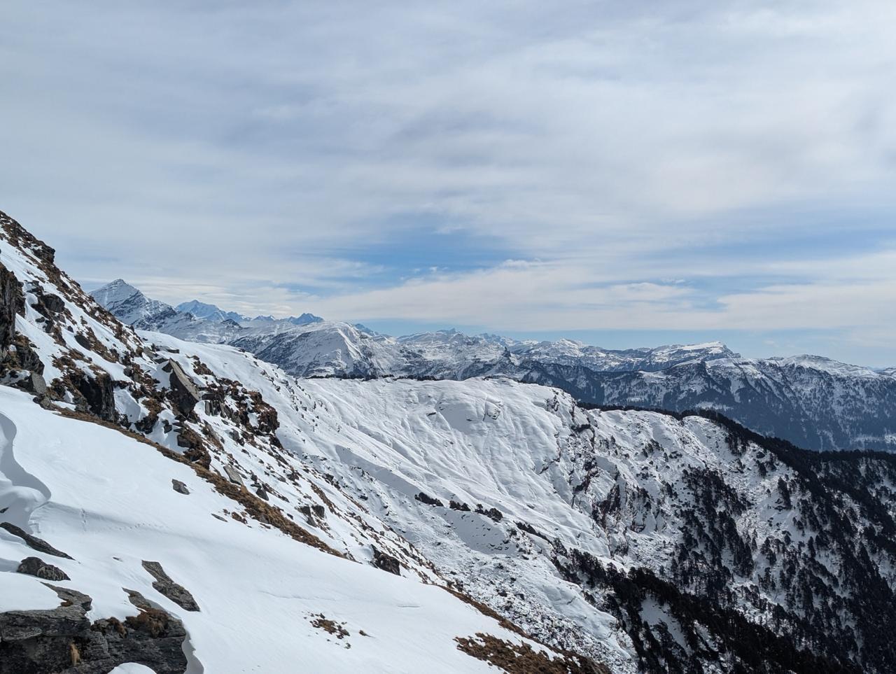
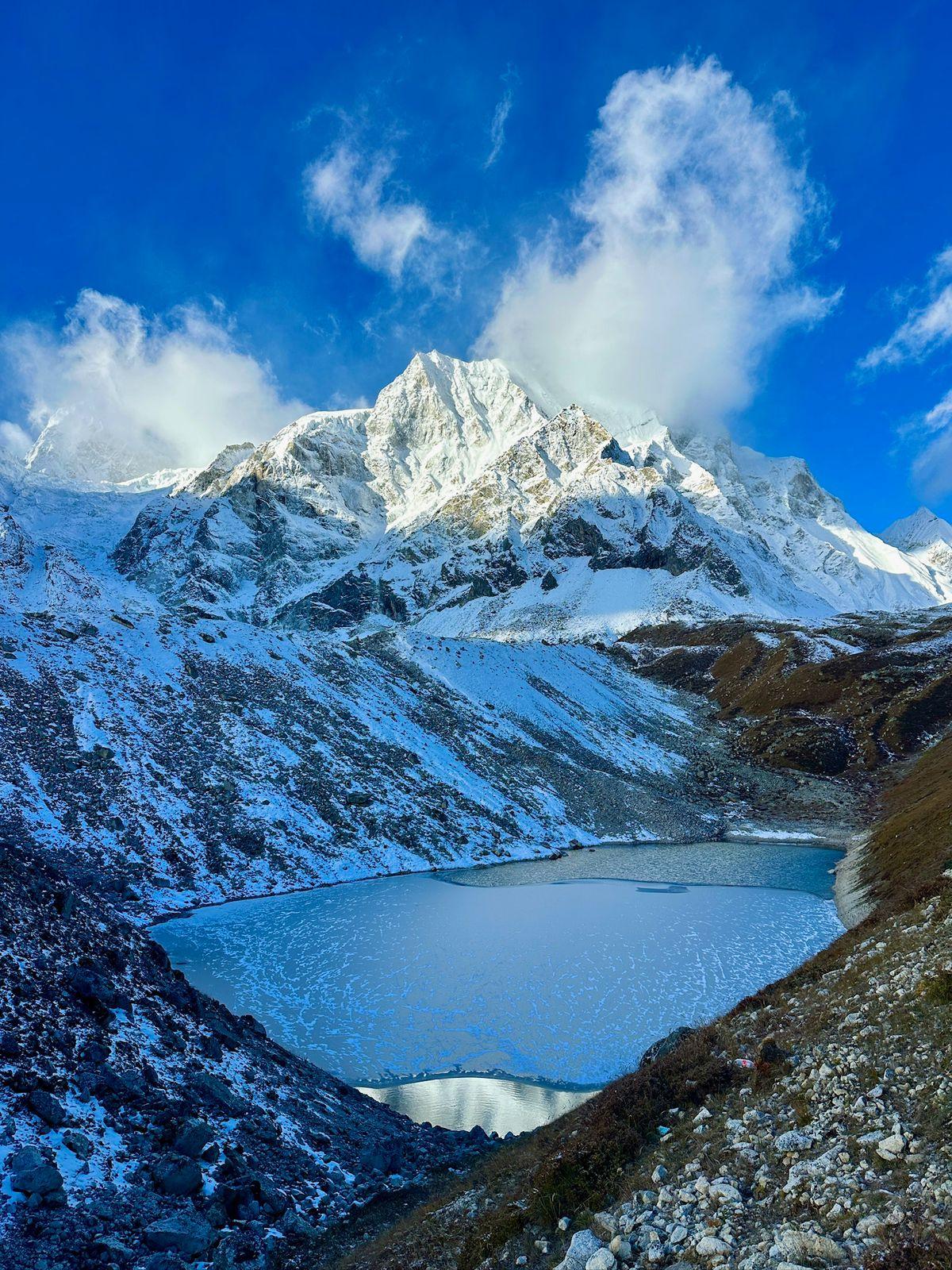
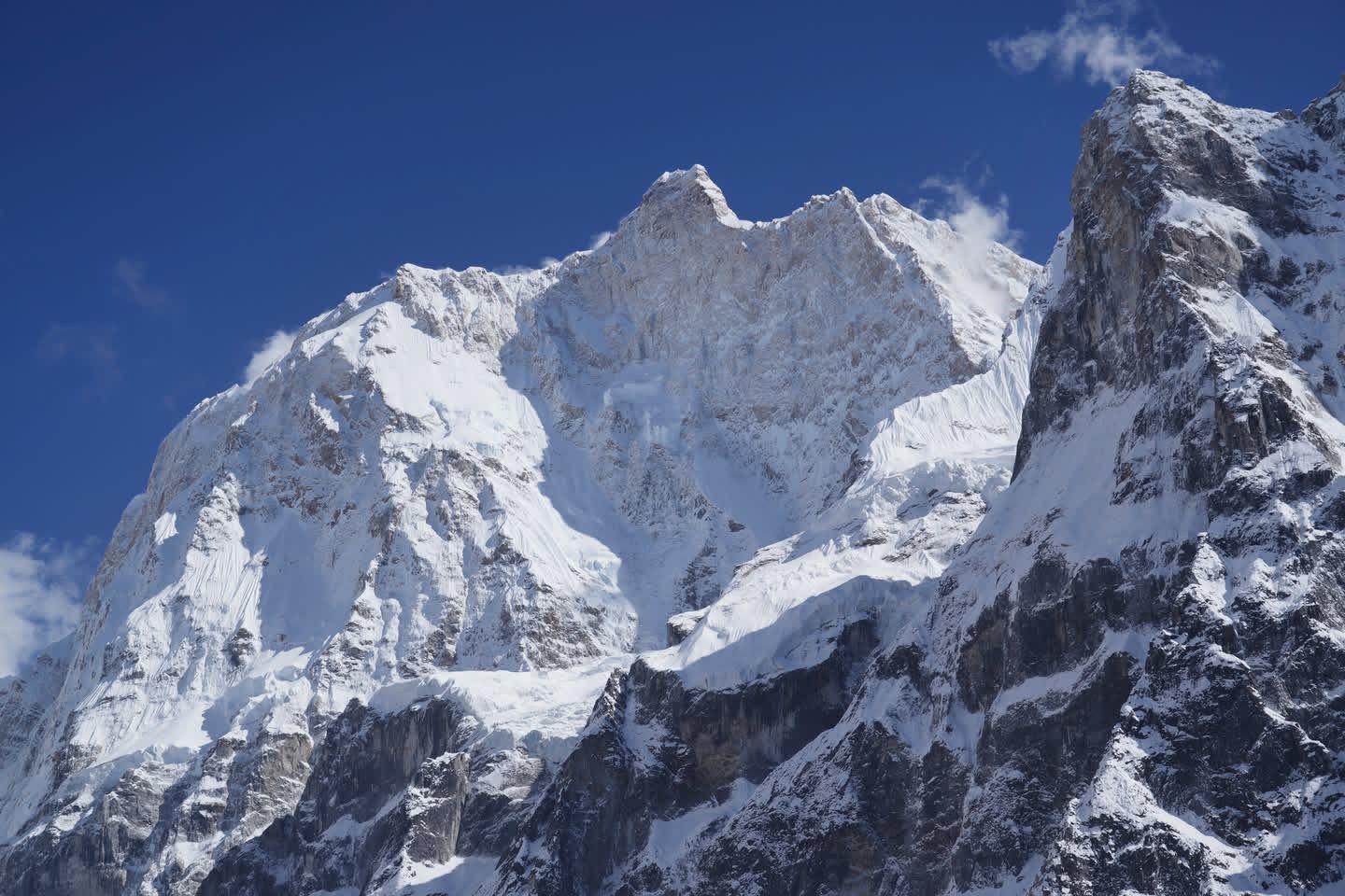
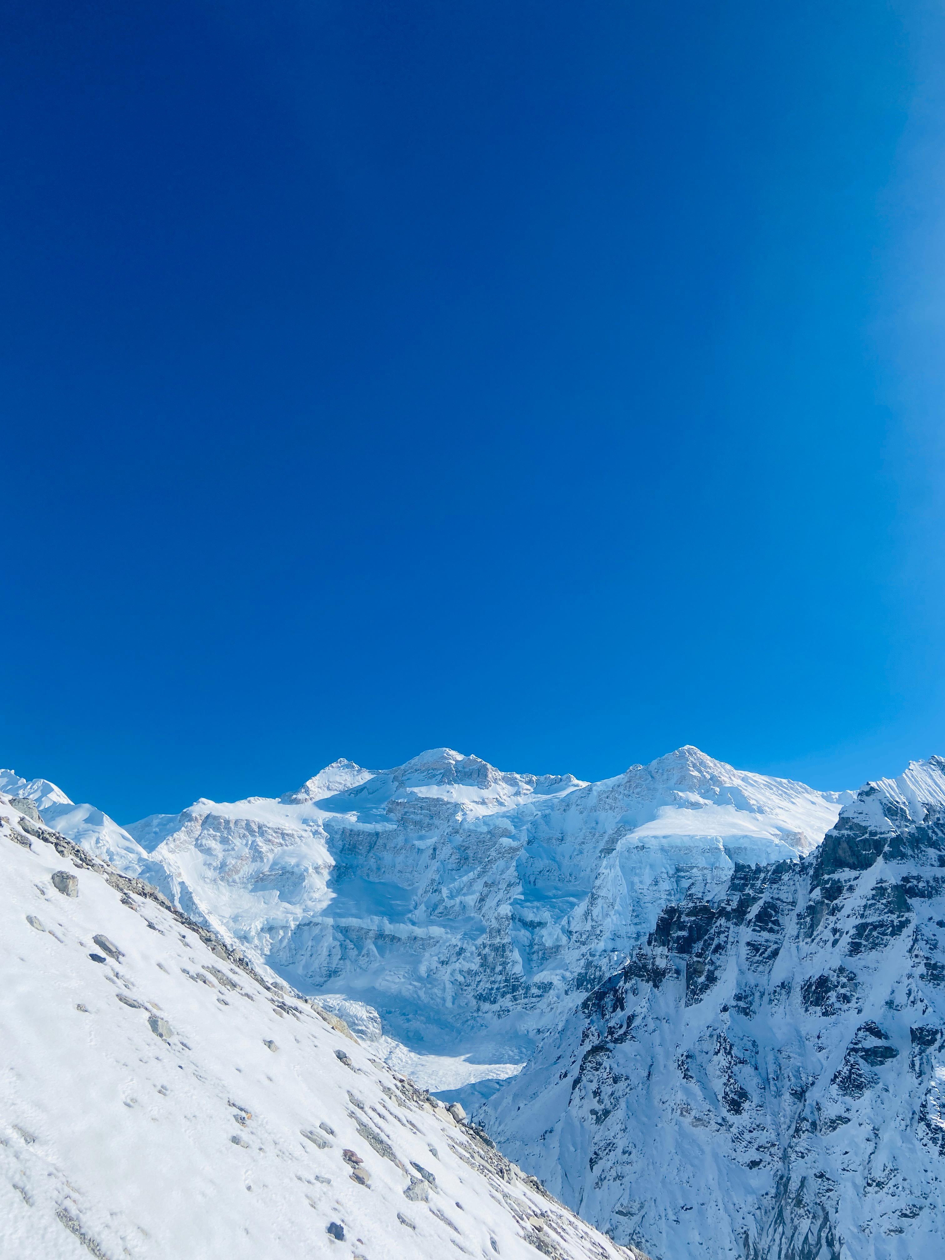
The next day brings the crown jewel, Dyuili Top (3,700 m). From here, the Himalayan skyline is extraordinary: an unbroken chain of giants from Nanda Devi to Gangotri, Trishul to Chaukhamba. Few treks offer such a dramatic panorama from a single viewpoint.
Descending towards Maggu Chatti and Trijuginarayan, the landscape changes again, forests return, streams appear, and you cross remote Garhwali settlements. Trijuginarayan itself is steeped in legend, believed to be the site of Shiva and Parvati’s celestial wedding.
Through these changing landscapes, the trek remains inherently peaceful. No crowds, no noise. Just mountains, meadows, and the steady rhythm of walking, perfect for anyone seeking an actual Himalayan experience.
Day 1
Rishikesh to Ghuttu
Drive distance: ~180 km
Driving time: 7–8 hours
Starting altitude: 1,150 ft / 350 m
Ending altitude: 5,250 ft / 1,600 m
Elevation Profile: 1,150 ft / 350 m → 5,250 ft / 1,600 m
The journey begins along the Ganga, weaving through Rishikesh’s bustle before gently climbing into the Garhwal hills. As the road snakes upward, pine forests thicken, mountain air cools, and wide views appear. A highlight en route is the mighty Tehri Dam, rising dramatically from the valley, India’s tallest dam, holding an ocean of teal-blue water.
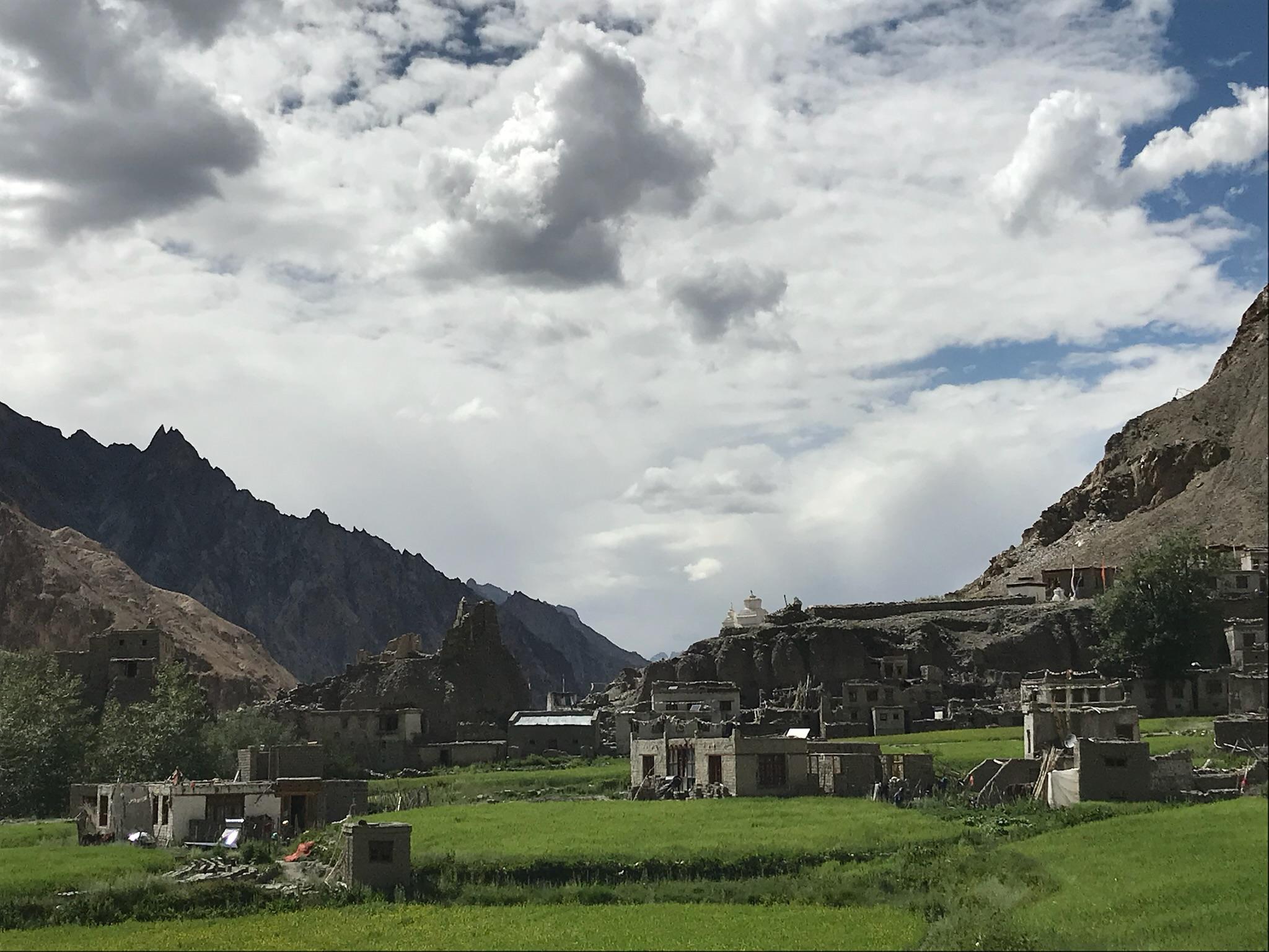
By afternoon, you reach Ghuttu, a peaceful village surrounded by farmland, forests, and distant ridgelines.
The sound of the Bhilangana River follows you everywhere. Evening brings a soft chill, golden mountain light, and the quiet anticipation of the days ahead.
Day 2
Ghuttu to Pobaghi
Trek distance: ~7 km
Trekking time: 5–6 hours
Elevation Profile: 5,250 ft / 1,600 m → 8,700 ft / 2,650 m
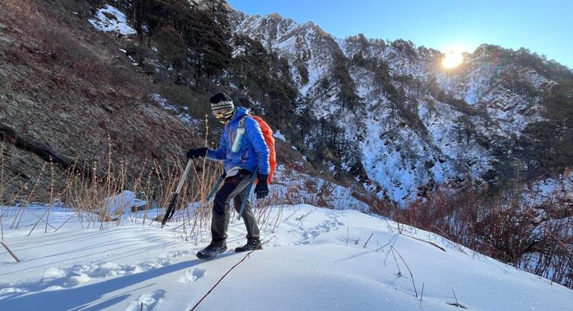
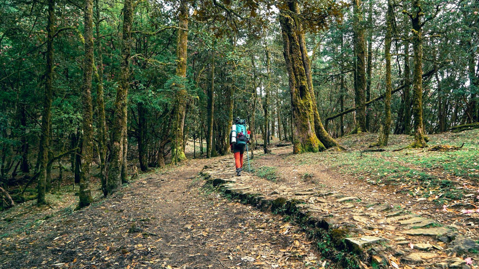
The trail leaves Ghuttu through terraced fields before entering a thick rhododendron forest. Buransh trees rise tall, their red blossoms carpeting the path in spring. Oak and deodar branches filter sunlight into dancing green beams.
The ascent is steady, a mix of forest steps, natural rock pathways, and open clearings. As altitude increases, the air cools, and the forest deepens. Small water streams appear along the way.
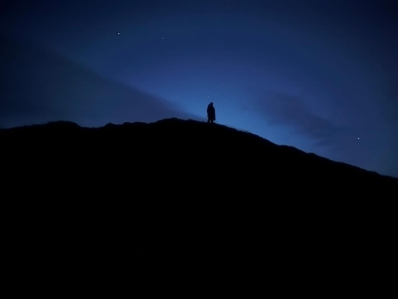
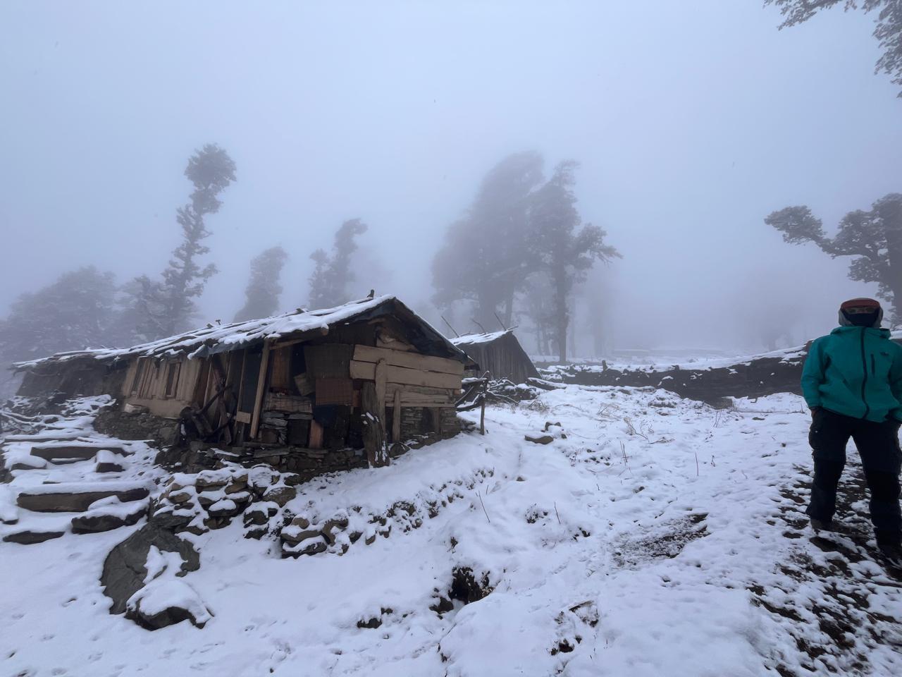
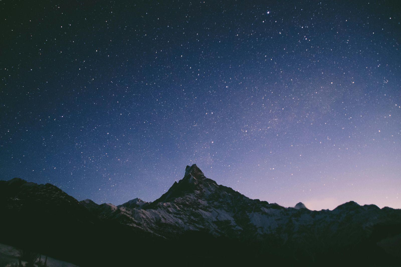
Pobhagi arrives as a surprise, a sheltered meadow surrounded by trees, ideal for a quiet camp. Evening mist drifts along the slopes, the sky glows orange, and stars emerge early.
Day 3
Pobhagi to Panwali Kantha via Dyuili Top
Trek distance: ~11 km
Trekking time: 7–8 hours
Elevation Profile: 8,700 ft / 2,650 m → 11,100 ft / 3,385 m → 11,500 ft / 3,505 m
Today is the heart of the trek.
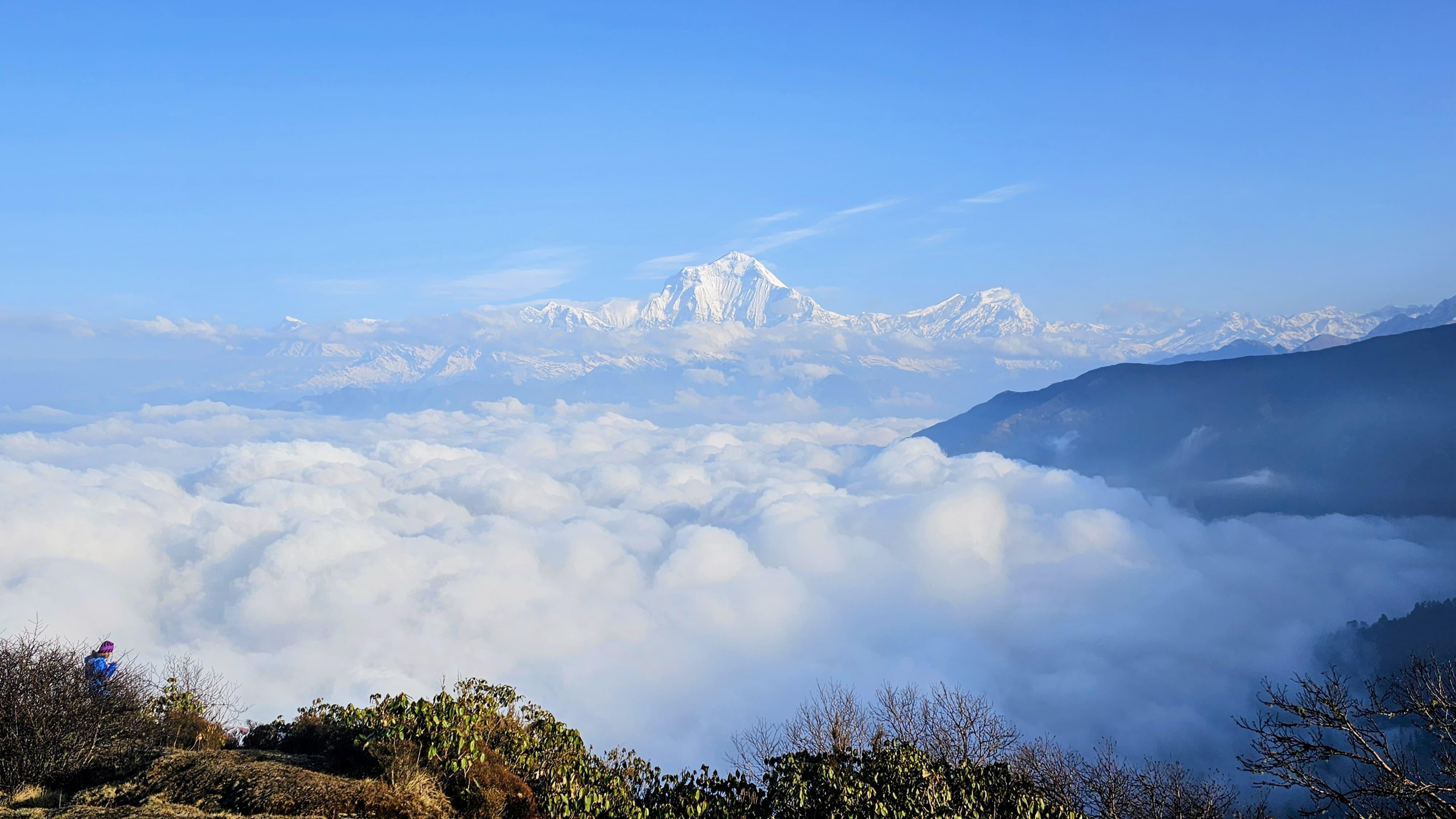
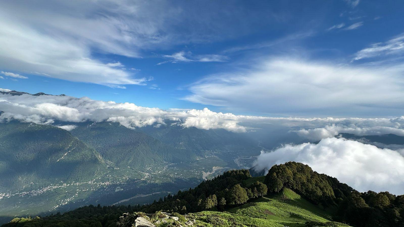
The trail rises from Pobhagi through thinning forest until it bursts onto open ridges. Meadows roll outward, green and endless, with early morning light catching every blade of grass. On the climb to Dyuili Top, the world expands behind you: valleys, slopes, forests, and distant pathways.
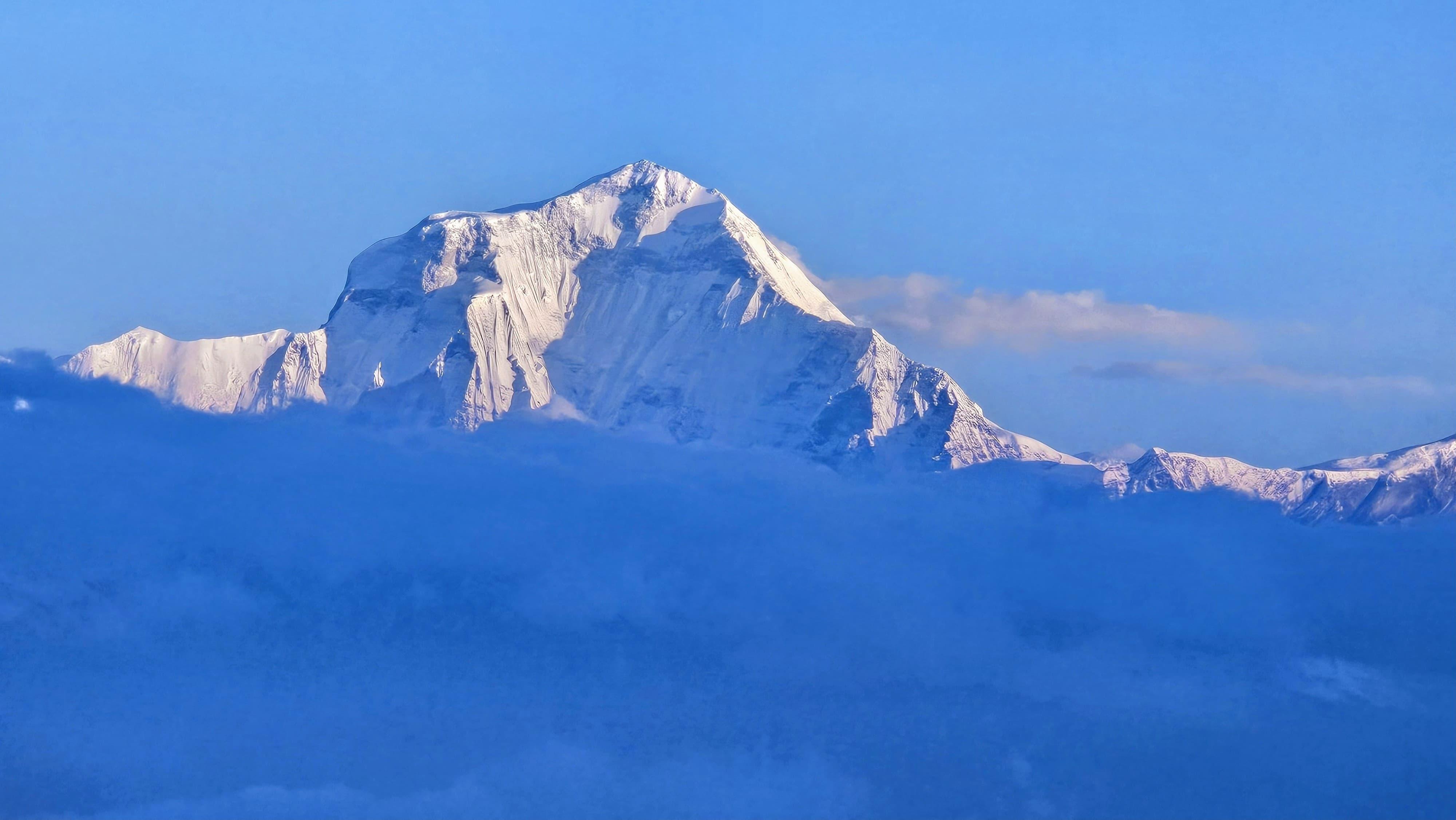
At the top, the Himalayas appear in full glory:
- Nanda Devi (7,816 m)
- Kamet (7,756 m)
- Trishul (7,120 m)
- Gangotri Massif (6,856 m)
- Chaukhamba (7,138 m)
- Kedarnath & Kedar Dome (6,940 m)
The scale is breathtaking, an amphitheatre of giants.
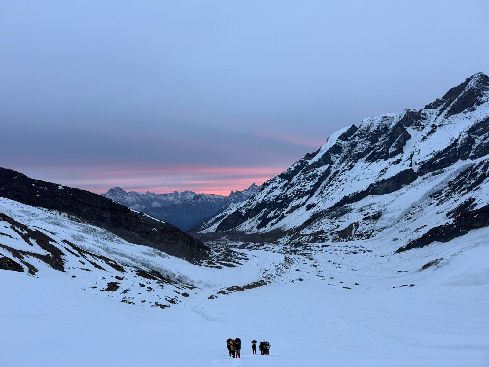
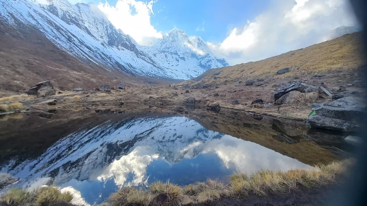
From Dyuili Top, a gentle descent brings you to the sweeping meadows of Panwali Kantha, glowing golden during sunset. Camping here is unforgettable, sky open, mountains glowing, silence complete.
Day 4
Panwali Kantha to Maggu Chatti
Trek distance: ~10 km
Trekking time: 6–7 hours
Elevation Profile: 11,500 ft / 3,505 m → 8,200 ft / 2,500 m
You leave the meadows with a final glance at the Himalayan wall behind you. The trail undulates through gentle ridges before dropping into forests again. The path alternates between soft grass, rocky sections, and shaded patches where streams trickle across the trail.
Birdsong follows you for long stretches. Occasional precise openings reveal more meadows tucked within the forest.
Maggu Chatti appears as a quiet settlement, sheltered between ridges. The campsite sits near a forest clearing, perfect for a restful evening.
Day 5
Maggu Chatti to Trijuginarayan. Drive to Rishikesh
Trek distance: ~7 km
Trekking time: 4–5 hours
Elevation Profile: 8,200 ft / 2,500 m → 6,560 ft / 2,000 m (Triyuginarayan)
Drive distance: ~215 km
Driving time: 8–9 hours
A short but scenic descent brings you to Trijuginarayan, famed in mythology as the site of Lord Shiva and Parvati’s wedding.
A sacred, eternal flame (said to have burned since that time) glows in the temple courtyard.
After exploring the village and temple, you drive back to Rishikesh through winding valleys. The return journey feels quieter, legs tired, heart whole, mind still wandering along meadows and ridges you just walked.
Minimum Fitness Required
Easy-grade treks are beginner-friendly, but they still demand foundational stamina and consistency.
We follow a scientific approach where we build most of your endurance in Zone 2, a sustainable, conversational pace that strengthens your aerobic base without overexertion.
Minimum fitness benchmarks:
- Walk 8–10 km on gentle terrain without excessive fatigue.
- Climb 8–12 flights of stairs comfortably.
- Maintain 60–90 minutes of Zone 2 movement (brisk walking, cycling, slow jogging) without long breaks.
- Comfortable moving on slightly uneven or natural surfaces.
4–6 Week Recommended Aerobic Prep
- 3–4 Zone 2 sessions/week, 40–60 minutes each.
- Focus on durability and consistency, not speed.
This prepares your body to handle steady movement over several hours.
Mobility, Strength & Sports Movement
This section builds all-around movement quality (Essential even on easy trails).
Mobility (10–15 minutes daily)
- Ankles (For example - rotations, calf stretches)
- Hips (For example - lunges, hip openers)
- Upper back (For example - thoracic rotations)
Strength (2 sessions per week)
- Legs (For example - squats, step-ups, lunges)
- Core (For example - planks, dead bugs, bird-dogs)
- Balance (For example - single-leg stands, heel-to-toe walk, etc)
Sports Movement & Hand–Eye Coordination (1–2 sessions per week)
We encourage participants to add agility-based sports such as Badminton, Table tennis, Tennis, Basketball, Football (easy play), and Squash.
These develop reactive balance, foot placement accuracy, and movement confidence, all of which are valuable on uneven trekking terrain.
Our Expectations from Participants
To ensure a safe and smooth trekking experience:
- Arrive with the minimum required fitness as listed above.
- Be able to carry a 2–5 kg daypack comfortably throughout the trek.
- Follow all instructions from the trek leader regarding pacing, hydration, breaks, and safety.
- Maintain respectful behaviour toward teammates, staff, and local communities.
- Uphold Leave No Trace principles at all times.
- Submit all required documents (ID proofs, medical declarations, waivers, permits, etc.) within the timeline set by the coordinator.
Health & Acclimatisation Readiness
- No uncontrolled medical conditions or recent major injuries.
- Disclose any medications or concerns to the trek leader beforehand.
- Maintain good hydration and follow safe pacing.
- No prior altitude experience is required for easy treks.
Gear Readiness
Participants must come prepared with all the gear and accessories listed in the official trek checklist shared by the coordinator prior to departure.
These items ensure comfort, safety, and preparedness across changing mountain conditions.
Inclusion
Exclusion
How is the Panwali Kantha Trek and why is it special?
What makes it truly stand out today is the sequence of diverse landscapes: dense rhododendron, oak, and deodar forests; expansive alpine meadows (bugyal) that glow with wildflowers in spring and golden grasses in autumn; and a panoramic Himalayan skyline visible from high points like Dyuili Top.
What difficulty level should I expect and is it suitable for beginners?
Because the maximum altitude is around 3,300 metres (around 10,800 ft), there is less demand for serious altitude acclimatisation compared with high-mountain treks.
That said, trekkers should have basic fitness: comfortable walking for several hours, and ability to carry a light daypack. For first-time trekkers who meet these, Panwali Kantha can be a good Himalayan introduction.
When is the best time of year to undertake the trek?
Post-monsoon / Early Autumn (September–October / early November) — Weather is clear; meadows glow golden; skies are crisp, offering excellent visibility of Himalayan peaks.
Avoid peak monsoon (June–August) — heavy rains, risk of landslides and slippery trails make trekking unsafe.
What kind of accommodation and facilities are provided on the trek?
On approach / exit days: overnight stays at guesthouses or homestays in Ghuttu.
Trek packages usually include: guide and support staff, permits/forest fees, camping gear, meals from Day 1 snacks to final day breakfast.
Not included: personal trekking clothes/gear.
What kind of views, landscapes, and experiences can I expect on this trek?
Expansive alpine meadows (bugyal) — a dreamlike spread of grassland at high altitude, offering peace, open sky, and solitude.
Grand Himalayan panorama — from high ridge points such as Dyuili Top you can view a chain of significant peaks including Nanda Devi, Trishul, Kamet, Kedarnath and more.
Cultural & historical flavour: the ridge path is part of an old pilgrimage / shepherd-migration route; passing through remote Garhwali villages, valleys, and forested slopes that reflect traditional Himalayan life.
SELECT DATE TO REGISTER


Thank You!
Your form has been submitted successfully. We'll get back to you soon.
On Request