


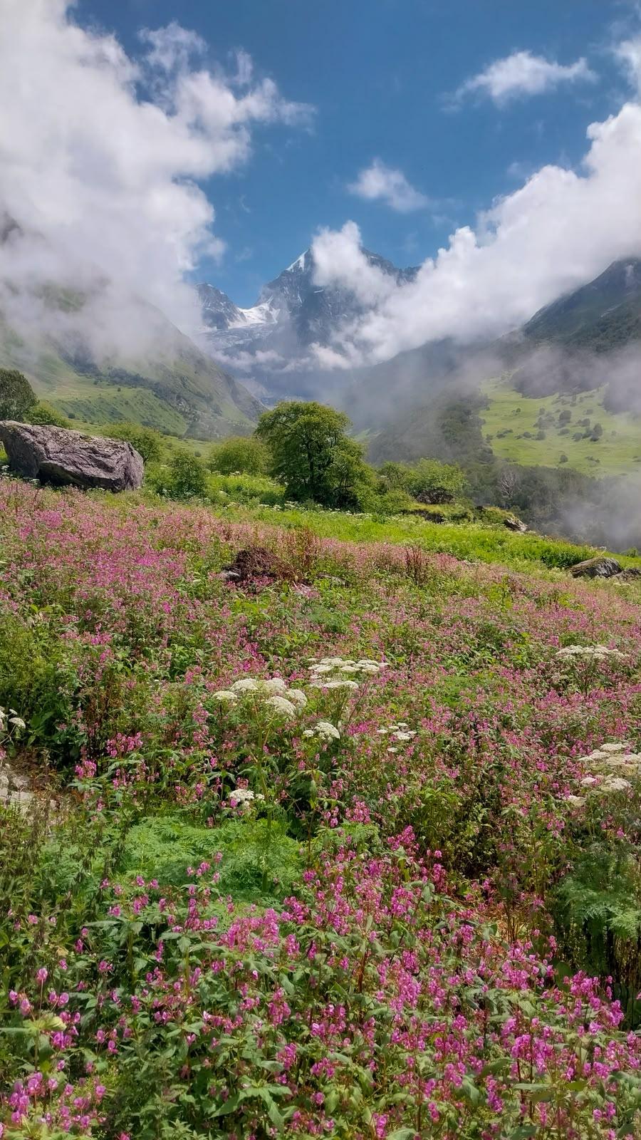
The Gokyo Ri route to Everest Base Camp is ideal for those who want to experience the Khumbu in a more unique, slower, wilder, and quieter way. It takes you away from the main Everest trail after Namche and leads you deep into the Gokyo Valley, where turquoise lakes reflect snow-capped peaks and herds of yaks graze on glacial meadows.
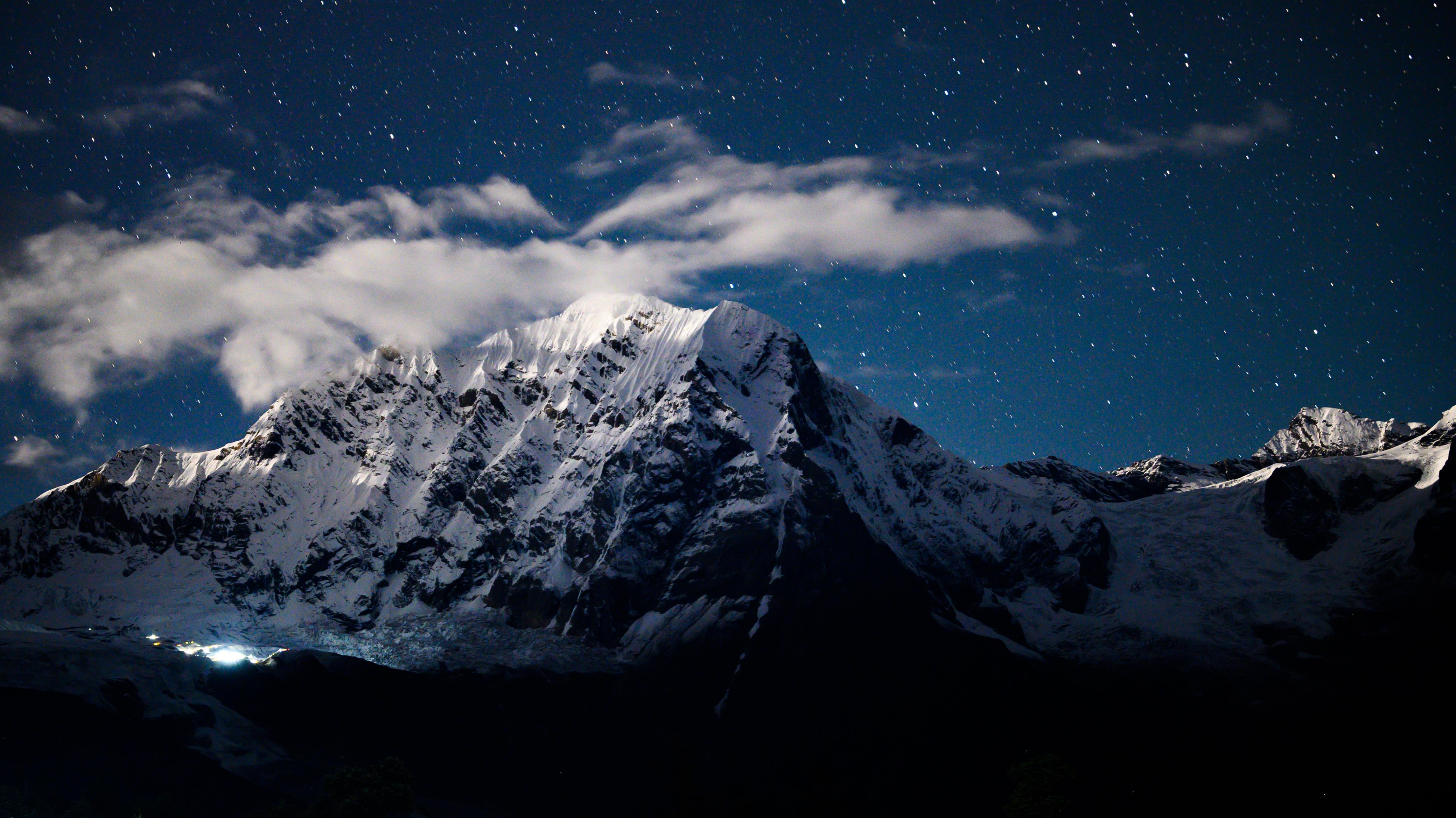
From the summit of Gokyo Ri (5,357 m), the world opens up, you stand surrounded by Evertest, Lhotse, Makalu and Cho Oyu, four of the six highest mountains on Earth. The panorama here is arguably the best in Nepal.
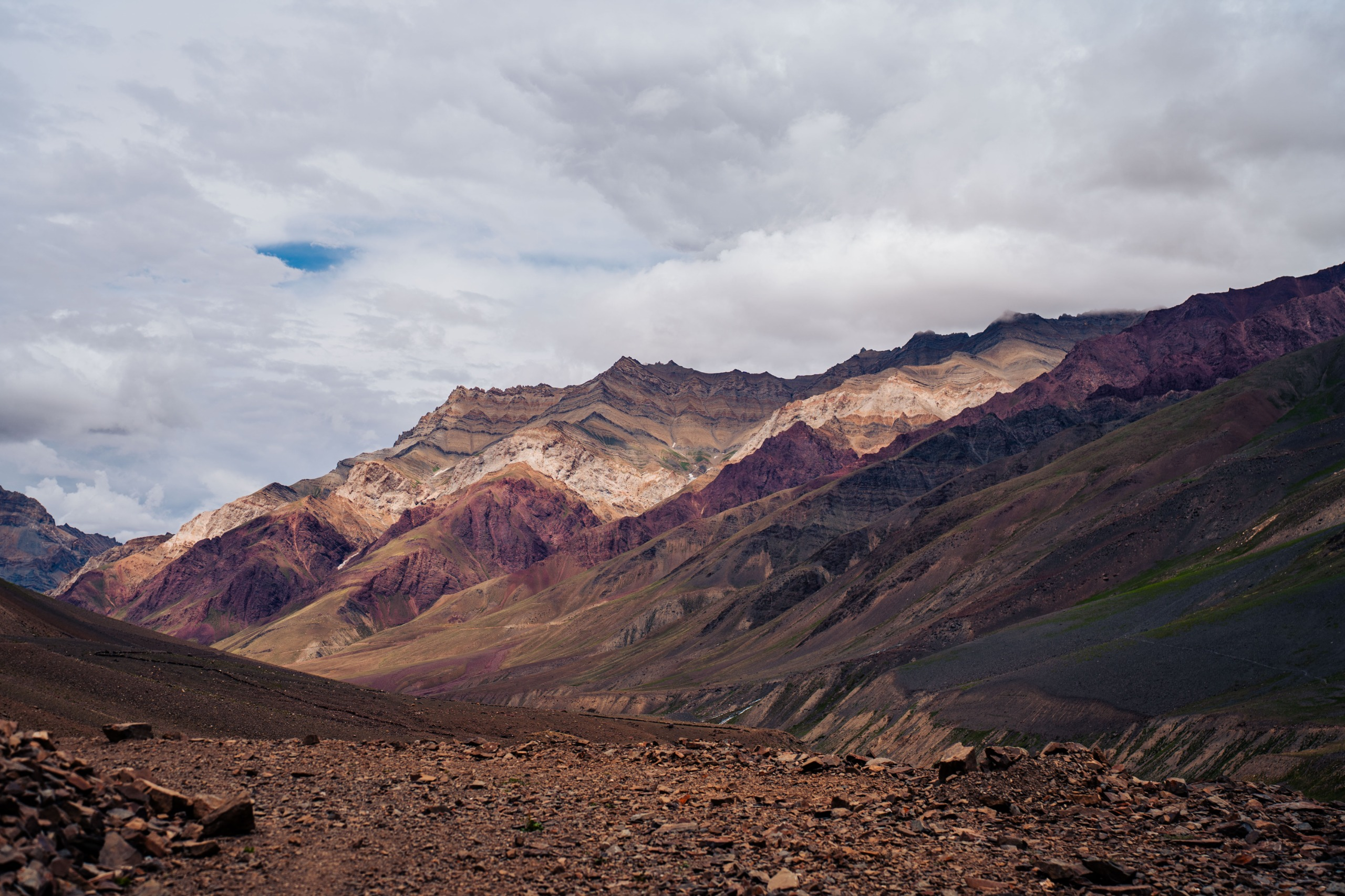
After Gokyo, the trail crosses the dramatic Cho La Pass (5,420 m), a high-altitude traverse of snow and rock, before merging with the classic route to Everest Base Camp and Kala Patther. The sense of scale changes as you move closer to the Khumbu Icefall, yet what stays with you is the contrast: the stillness of Gokyo and the power of Everest.
This route is lengthier, more challenging, and more remote than the classic EBC trail, but it’s also richer. It’s a journey for trekkers who prefer solitude to crowds, stillness to selfies, and the raw beauty of high-altitude valleys to the comforts of busy trails.
Day 1
Arrival in Kathmandu
Elevation Profile: 4,600 ft / 1,400 m
Arrive in Kathmandu, Nepal’s vibrant capital city. Once you check into your hotel, take the day to rest and recover from travel. In the evening, you’ll meet your trek leader and the rest of the team and go through a detailed briefing and gear check before the journey begins.
If you arrive early, take a stroll through the bustling alleys of Thamel, where cafés, prayer flags, and music blend into a uniquely Himalayan rhythm. This is the calm before the mountains, soak it in.
Day 2
Fly to Lukla and Trek to Phakding
Trek Distance: ~8 km (Lukla to Phakding)
Time Taken: 3–4 hours
Elevation Profile: 9,317 ft / 2,840 m → 8,563 ft / 2,610 m
The adventure begins with a short, unforgettable flight to Lukla, a small mountain airstrip perched dramatically on the edge of a ridge. Sometimes, when Kathmandu airport is congested, flights are diverted to Ramechhap, a 4–5 hour night drive away. If that happens, you’ll leave Kathmandu around midnight for an early morning takeoff.
The 20-minute flight offers stunning views of the Himalayas before landing in the heart of the Khumbu.
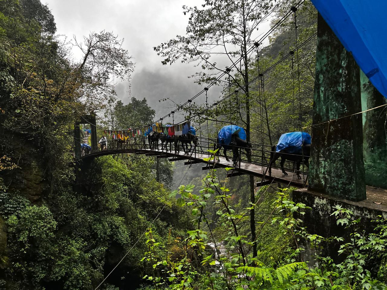
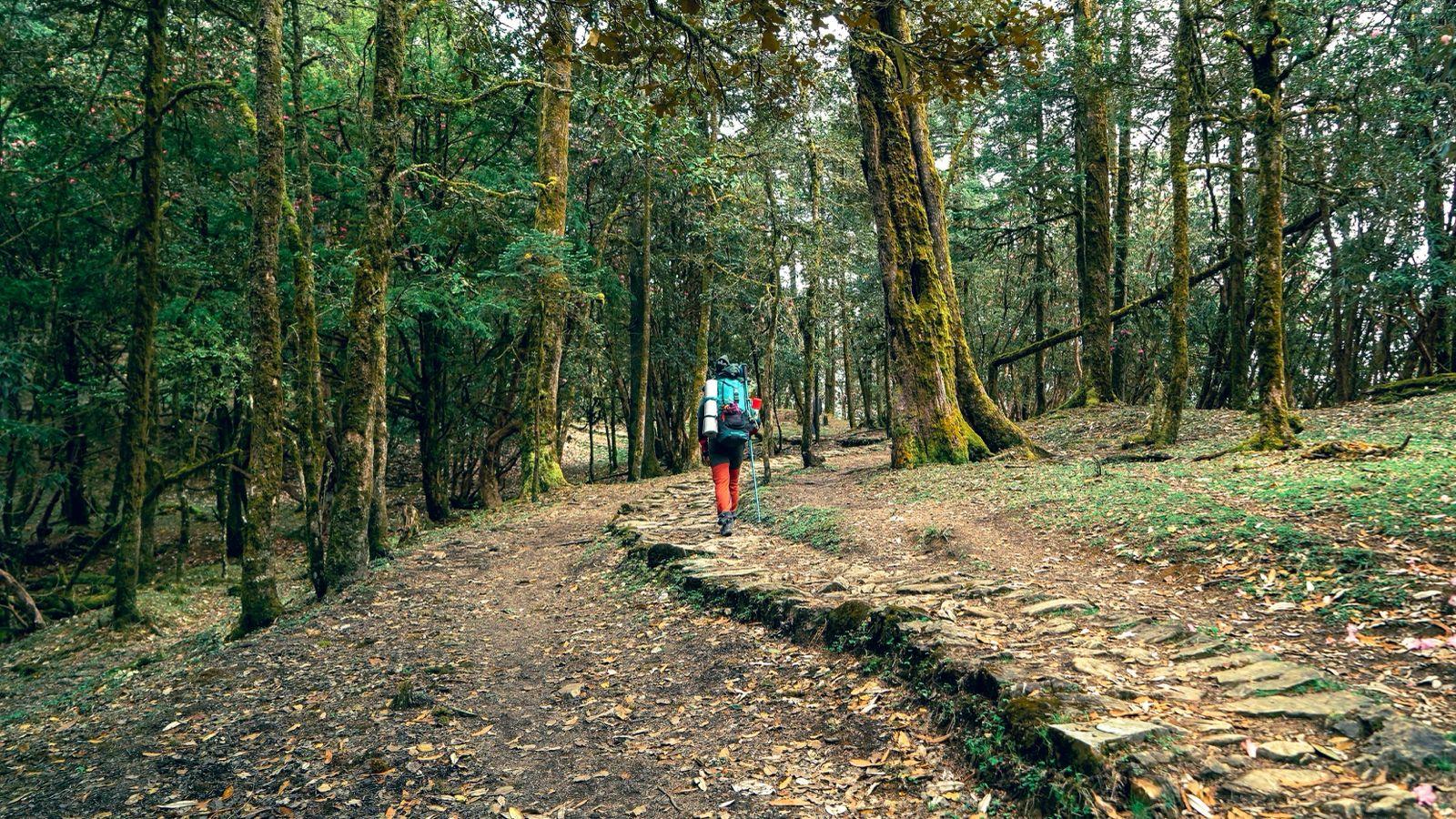
From Lukla, you start your trek, a gentle descent through forests and Sherpa villages, crossing suspension bridges and mani walls along the Dudh Koshi River.
By afternoon, you reach Phakding, a quiet riverside village where prayer flags sway over the water. It’s your first night in the mountains, a soft introduction to the days ahead.
Day 3
Phakding to Namche Bazaar
Trek Distance: ~10 km (Phakding to Namche Bazaar)
Time Taken: 6–7 hours
Elevation Profile: 8,563 ft / 2,610 m → 11,286 ft / 3,440 m
The trail continues along the Dudh Koshi River, crossing it several times over suspension bridges draped in prayer flags. The walk takes you through Benkar, Monjo, and Jorsalle, past pine forests and small hamlets. After lunch, you enter the Sagarmatha National Park, where the real climb begins.
The final ascent to Namche Bazaar is long and steady, a winding series of switchbacks that test your endurance. But the first distant glimpse of Everest peeking over the ridge lifts every step.
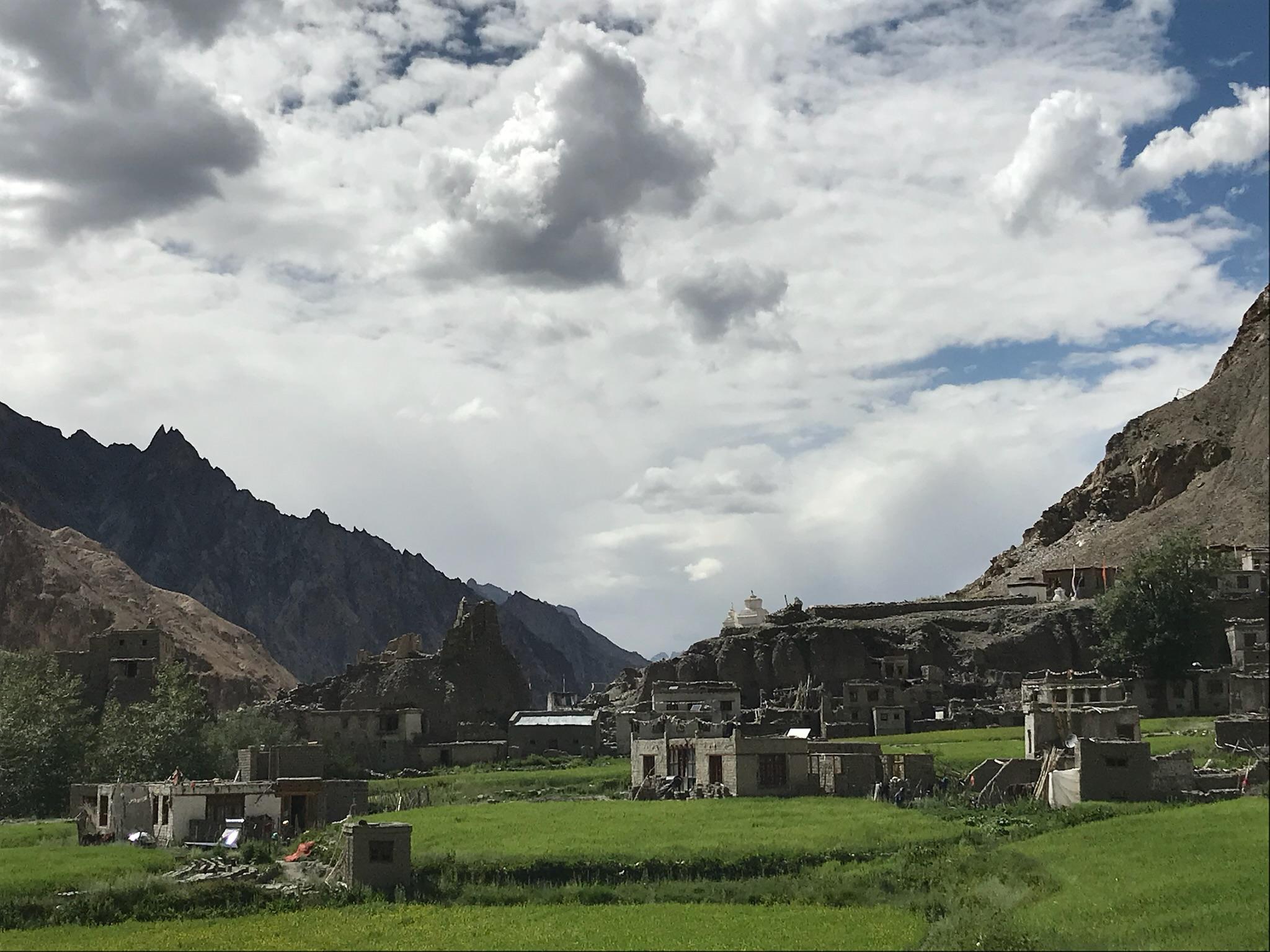
By evening, you reach Namche, a bustling amphitheatre of lodges, bakeries, cafés, and gear shops built into the hillside. Namche has a rhythm of its own, live music in cafés, warm lights in the cold air, and trekkers from every corner of the world.
Day 4
Acclimatisation at Namche Bazaar (Optional)
Trek Distance: ~5–6 km (round hike to Everest View Hotel)
Time Taken: 3–4 hours
Elevation Profile: 11,286 ft / 3,440 m → 12,730 ft / 3,880 m
If we take an acclimatisation day here, it’s one of the most rewarding stops on the trail. After breakfast, you head out for a short hike to the Everest View Hotel, a stunning vantage point that gives your first clear view of Everest, Lhotse, Ama Dablam, and Thamserku.
On the way back, you can stop at the Khumjung Monastery or the local mountaineering museum, each giving you a glimpse into the Sherpa way of life. The rest of the day is easy: explore Namche’s cafés, sip on fresh coffee, and soak in the buzz of trekkers sharing stories from around the world.
Day 5
Namche Bazaar to Dole
Trek Distance: ~11 km (Namche Bazaar to Dole)
Time Taken: 6–7 hours
Elevation Profile: 11,286 ft / 3,440 m → 13,248 ft / 4,040 m
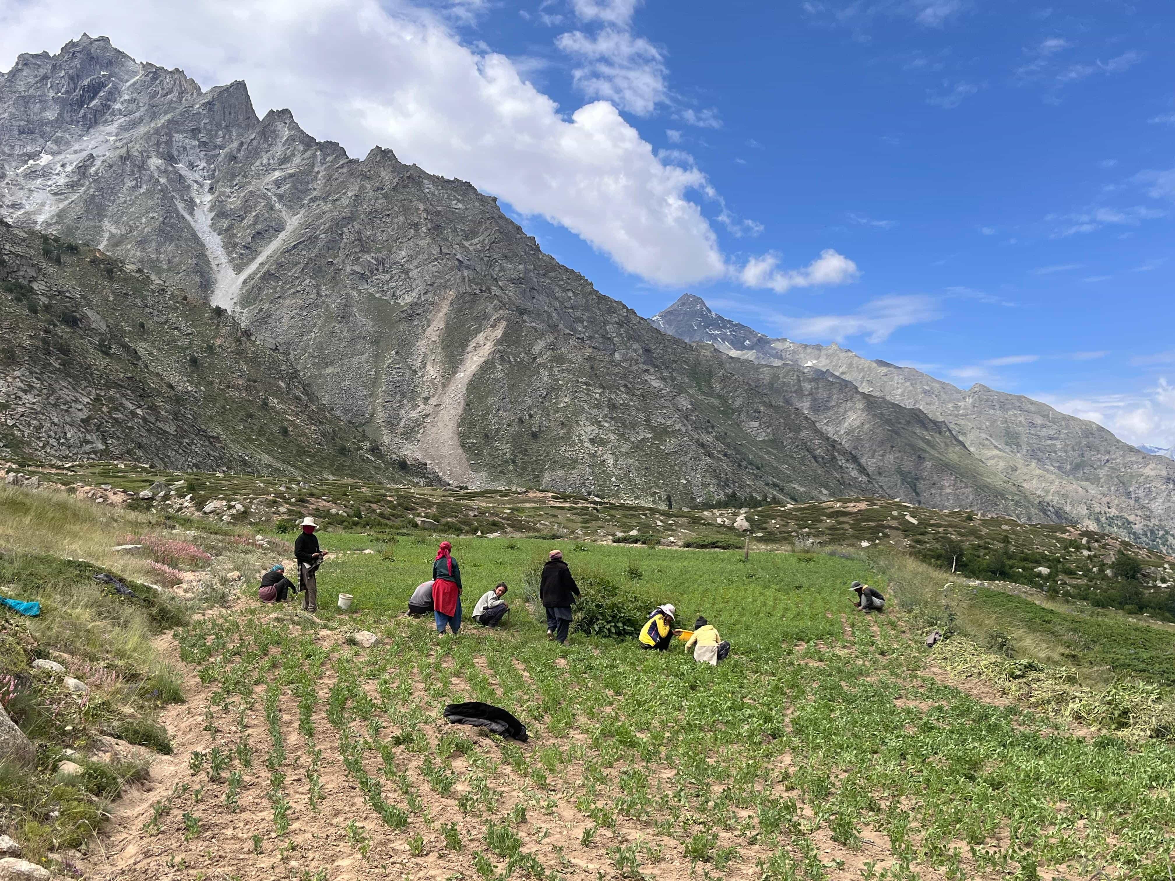
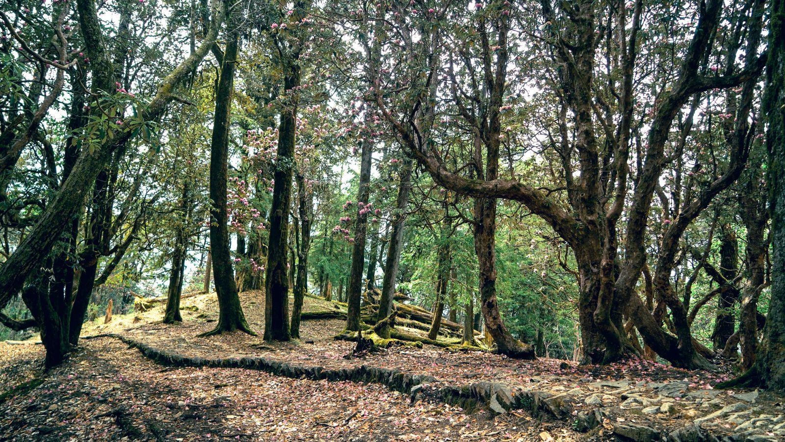
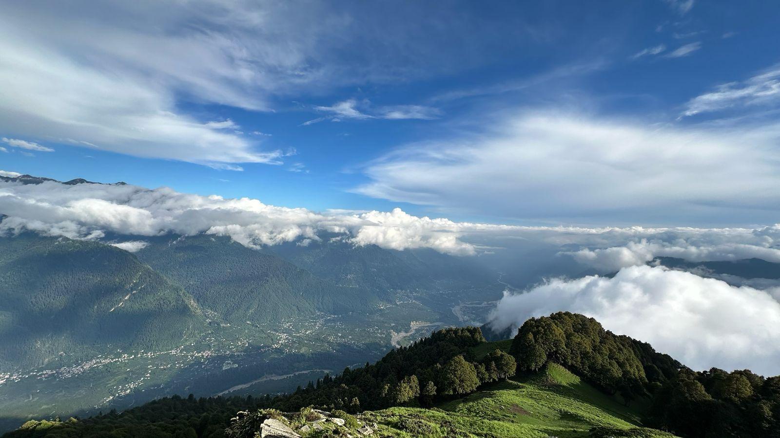
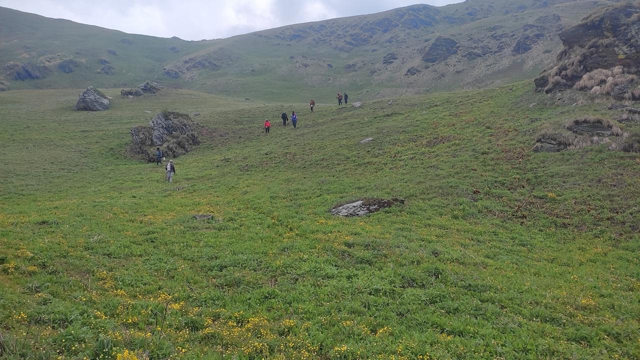
Today, you leave the busy Everest trail behind and branch off toward the Gokyo Valley. The trail climbs gradually out of Namche, winding through juniper and rhododendron forests. You pass Mong La, a ridge-top village with stunning views of Ama Dablam and Thamserku, before descending to the river and climbing again toward Dole.
The air grows crisper and the forests thinner as you move higher. Dole is a quiet settlement of a few lodges and yak pastures, a world away from Namche’s bustle. Evenings here are peaceful, with clouds drifting through the valley and the sound of distant yak bells echoing across the hills.
Day 6
Dole to Machhermo
Trek Distance: ~6 km (Dole to Machhermo)
Time Taken: 4–5 hours
Elevation Profile: 13,248 ft / 4,040 m → 14,665 ft / 4,470 m
It’s a shorter day, but the altitude begins to take its toll. The trail climbs gently above Dole through alpine meadows and low shrubs, with wide-open views of the snow peaks all around. You pass through Lhabarma and Luza, small yak-herding settlements with just a few stone lodges and prayer flags fluttering in the wind.
The walk to Machhermo feels peaceful and meditative; the crowds are gone, replaced by the sound of the wind and the occasional call of Himalayan crows. Machhermo itself is a small but scenic village, perched beside a glacial stream, with views of Kantega and Cho Oyu dominating the skyline.
It’s best to arrive early and rest well; tomorrow, you head higher into the heart of the Gokyo Valley.
Day 7
Machhermo to Gokyo
Trek Distance: ~7 km (Machhermo to Gokyo)
Time Taken: 5–6 hours
Elevation Profile: 14,665 ft / 4,470 m → 15,744 ft / 4,800 m
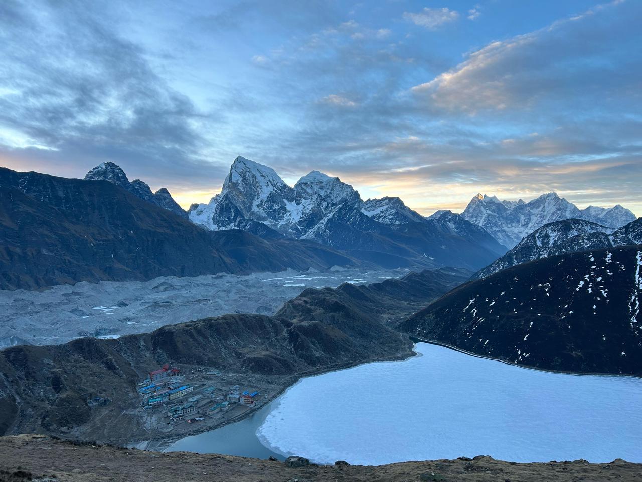
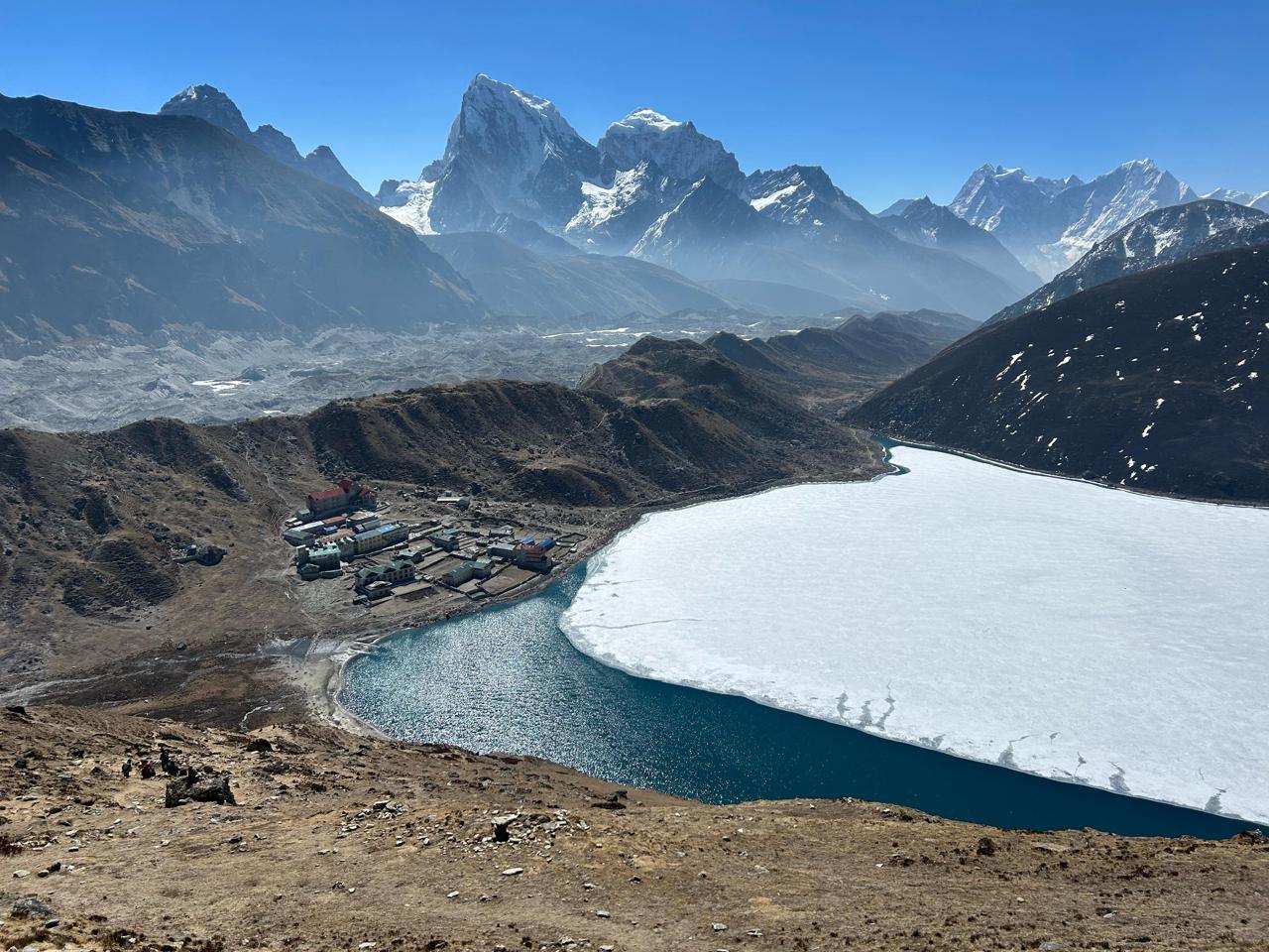
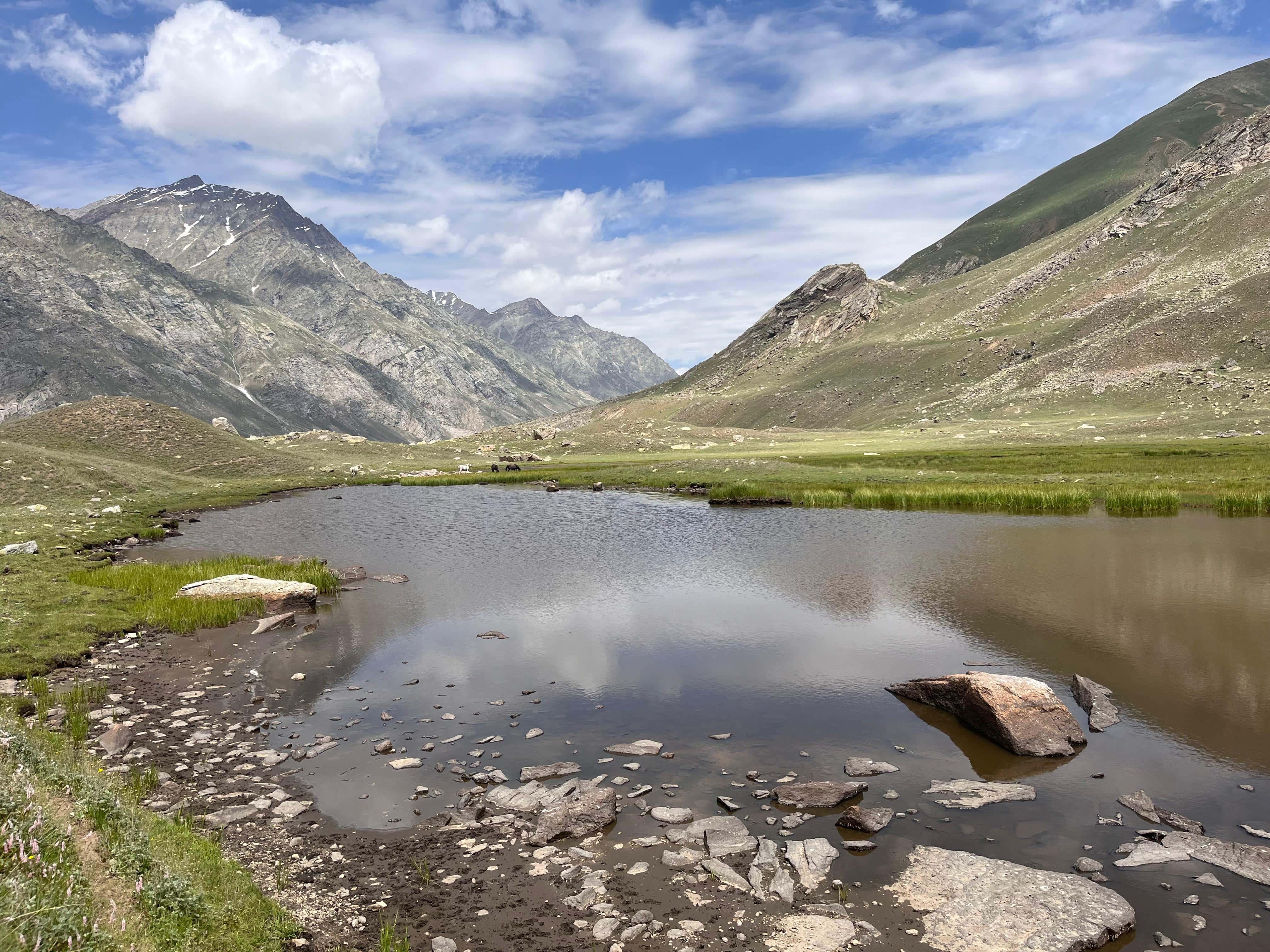
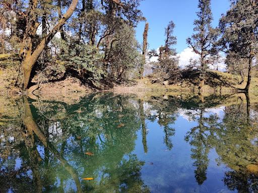
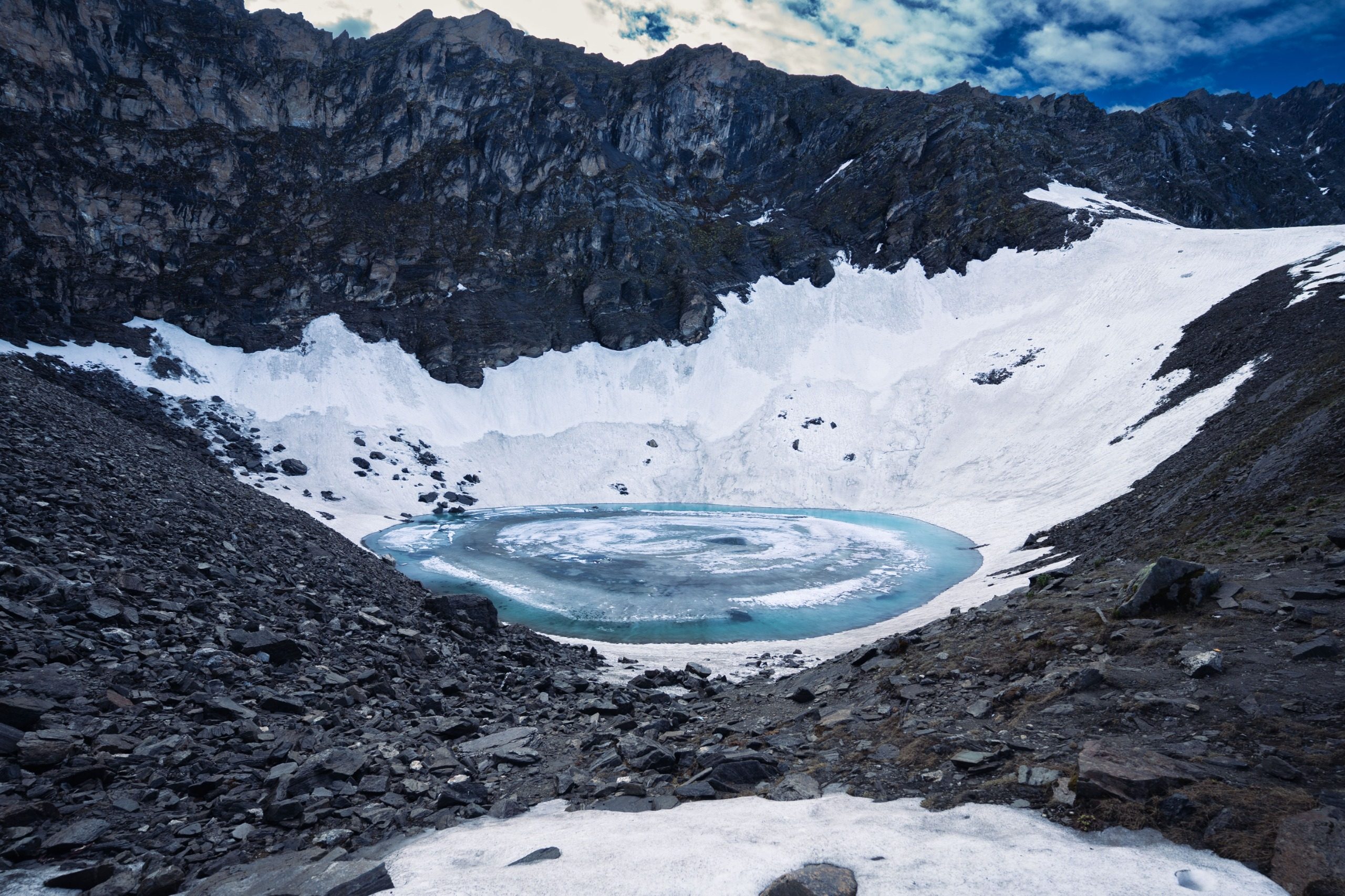
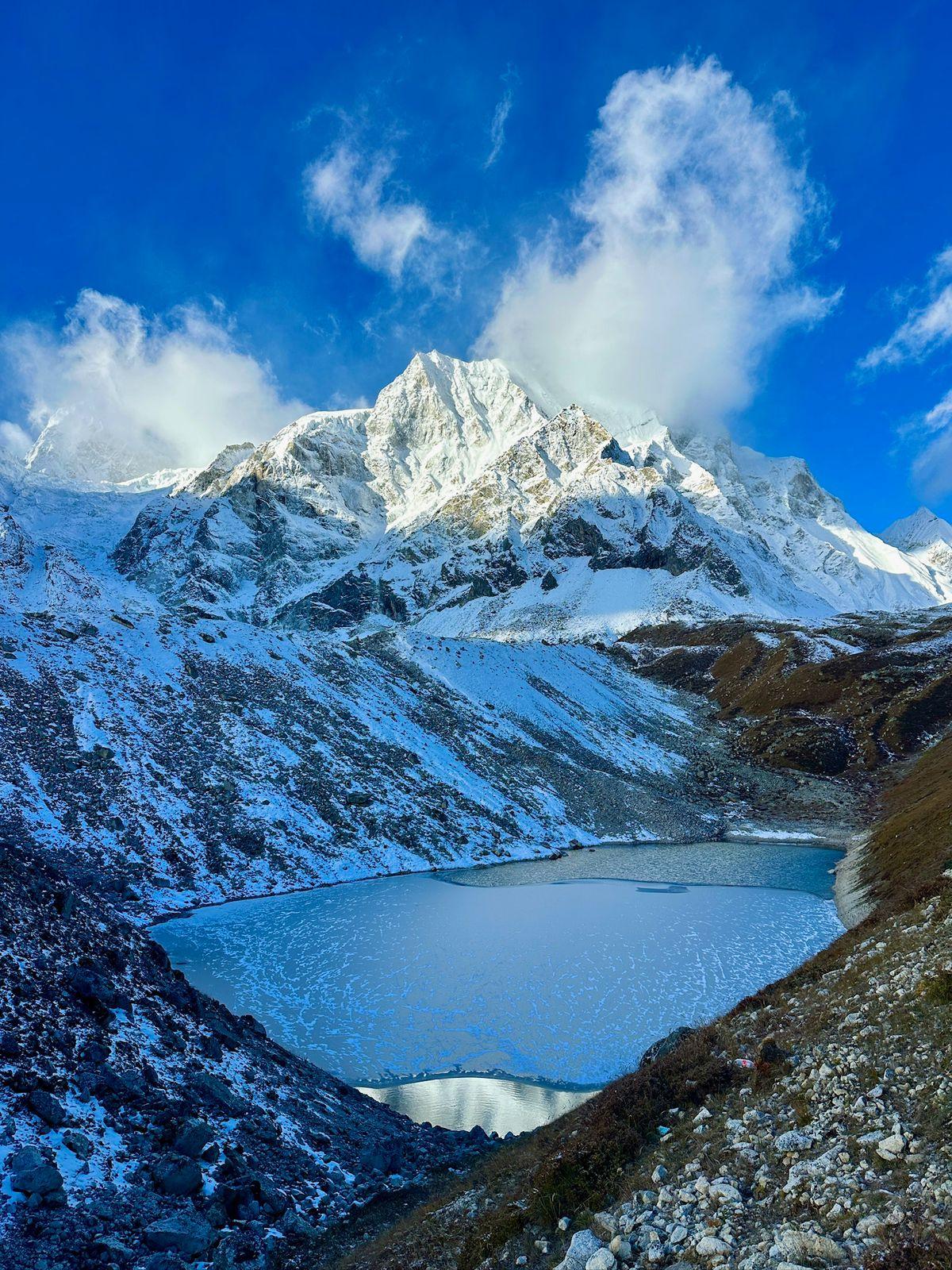
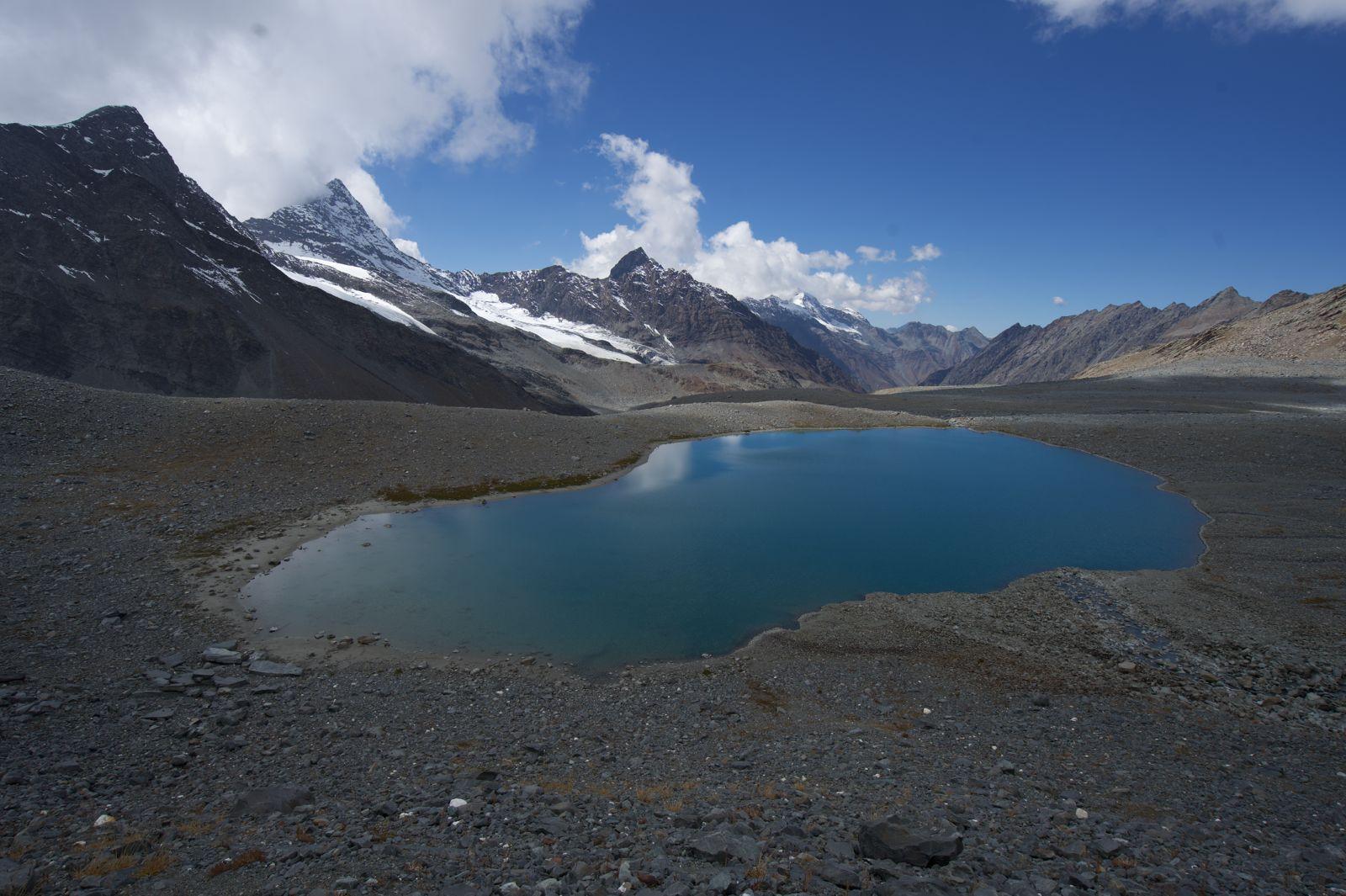
The trail climbs steadily along the Dudh Koshi River, now reduced to a glacial stream fed by ice and snow. The landscape opens into a stark, windswept valley surrounded by massive peaks. You pass the first two Gokyo Lakes, their turquoise water shimmering against the grey moraine, before reaching the third and largest, Dudh Pokhari.
Right beside this lake sits Gokyo village, a handful of stone lodges with blue rooftops reflecting in the still water. The setting is breathtaking, a mirror of sky, snow, and silence.
By afternoon, the valley turns golden in the sun, and yaks wander freely by the lakeside. It’s one of those rare places in the Himalaya where time slows down, everything feels unhurried, expansive, and impossibly beautiful.
Day 8
Climb Gokyo Ri and Explore Gokyo Lakes
Trek Distance: ~5–6 km (round hike)
Time Taken: 4–5 hours
Elevation Profile: 15,744 ft / 4,800 m → 17,575 ft / 5,357 m
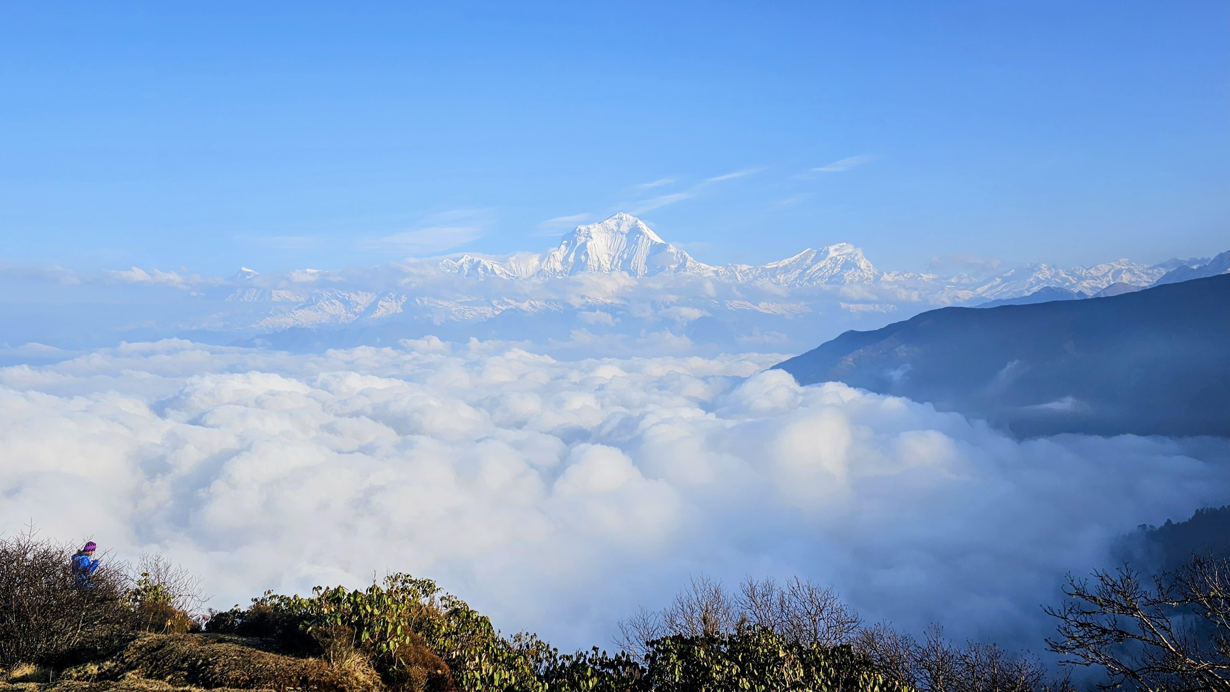
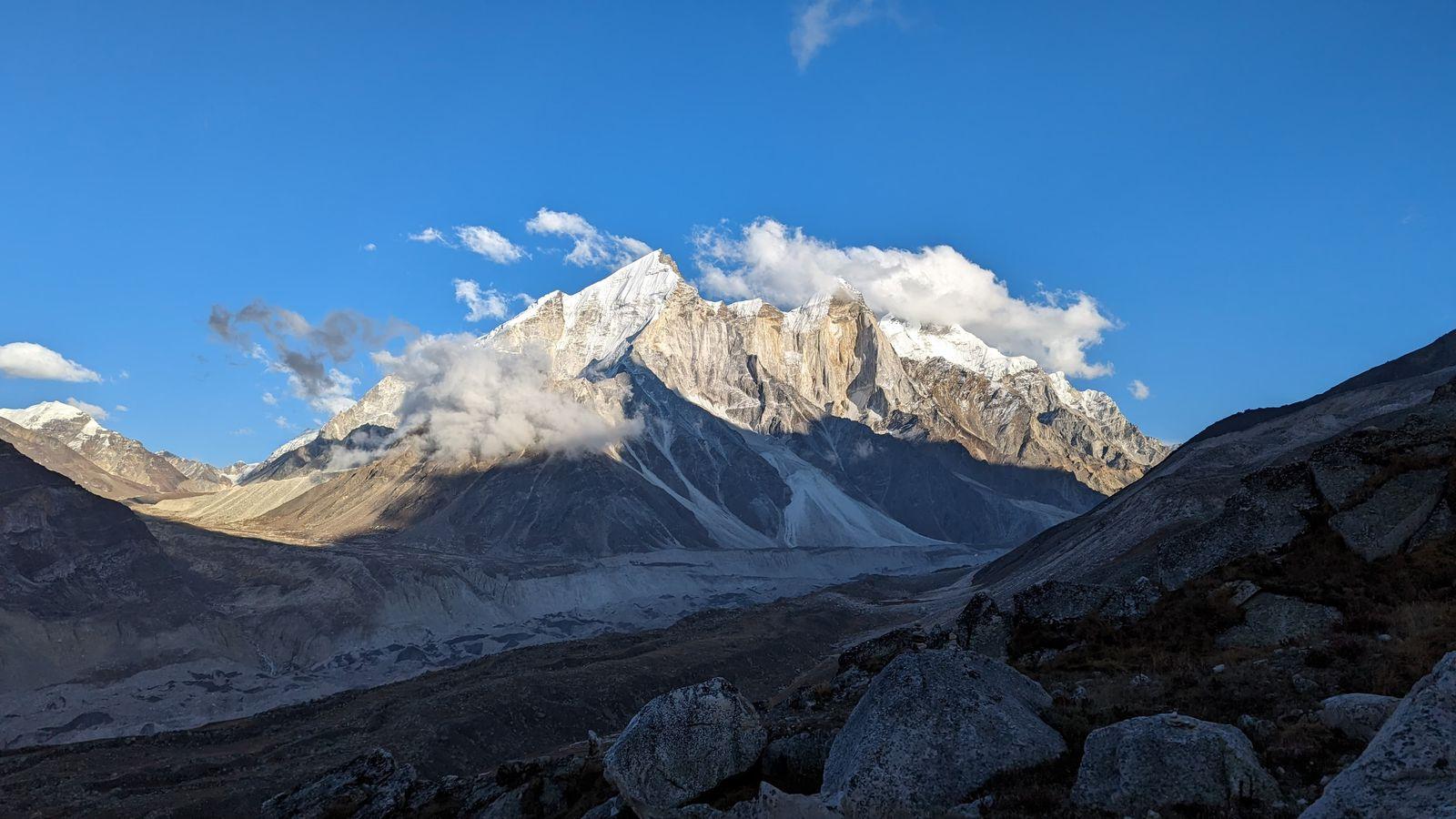
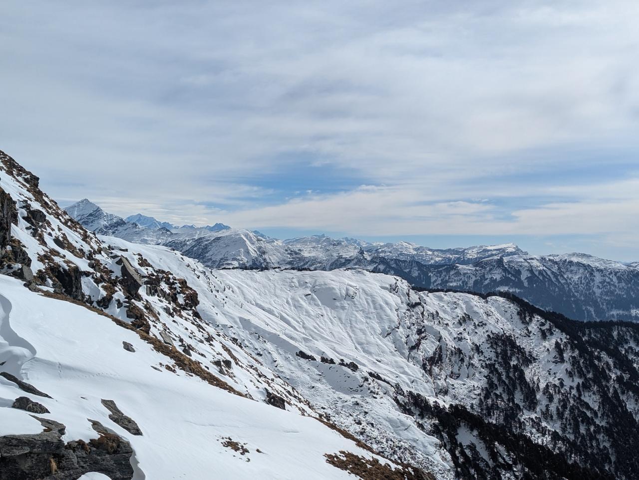
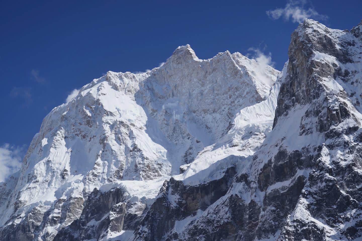
The day begins early with a climb to Gokyo Ri (5,357 m), a steep yet rewarding ascent that offers one of the most incredible mountain panoramas in the world.
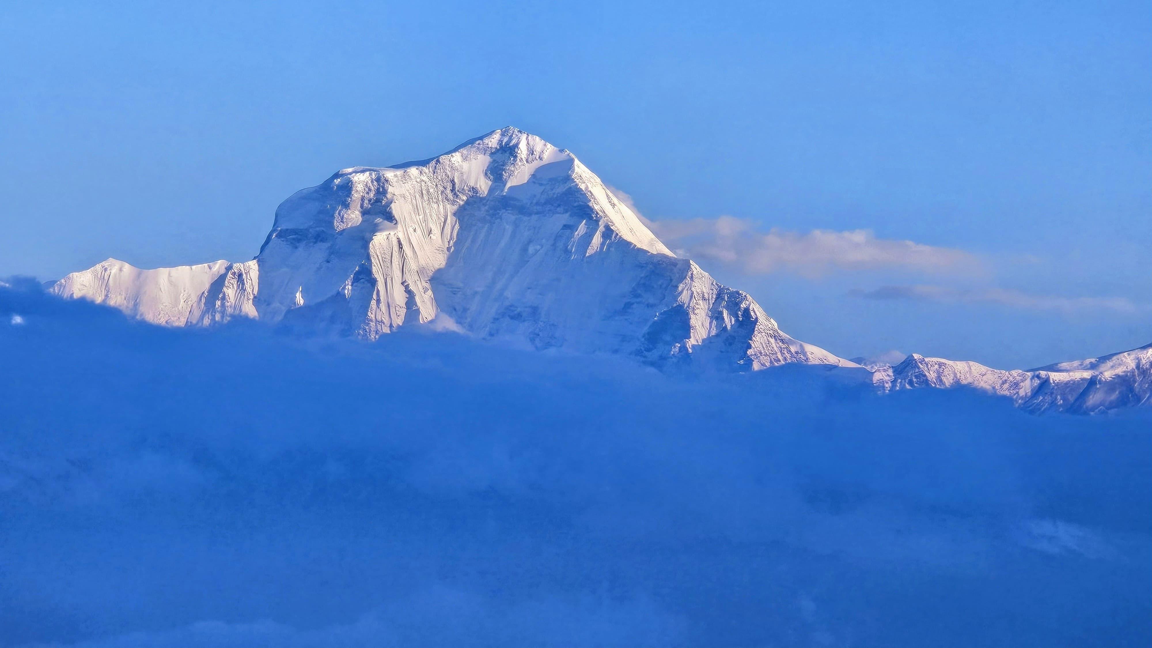
From the summit, you see Everest, Lhotse, Makalu, and Cho Oyu, four 8,000-meter peaks, standing shoulder to shoulder, with the Ngozumpa Glacier, the largest in Nepal, stretching below.
The sunrise here is unforgettable, the peaks glow gold, then crimson, then white again as the light changes. You can spend as long as you want at the top; the stillness is worth it.
After descending, enjoy a relaxed afternoon by the Gokyo Lakes, walking along their turquoise edges, visiting the farthest (Sixth) lake if time allows, or simply sitting by the shore watching clouds drift over the water.
Gokyo is one of those rare Himalayan villages that stays with you long after you’ve left, quiet, majestic, and full of peace.
Day 9
Gokyo to Thagnak (Dragnag)
Trek Distance: ~6 km (Gokyo to Thagnak)
Time Taken: 3–4 hours
Elevation Profile: 15,744 ft / 4,800 m → 15,420 ft / 4,700 m
It’s a short but spectacular day as you leave the lakes behind and head toward the base of the Cho La Pass.
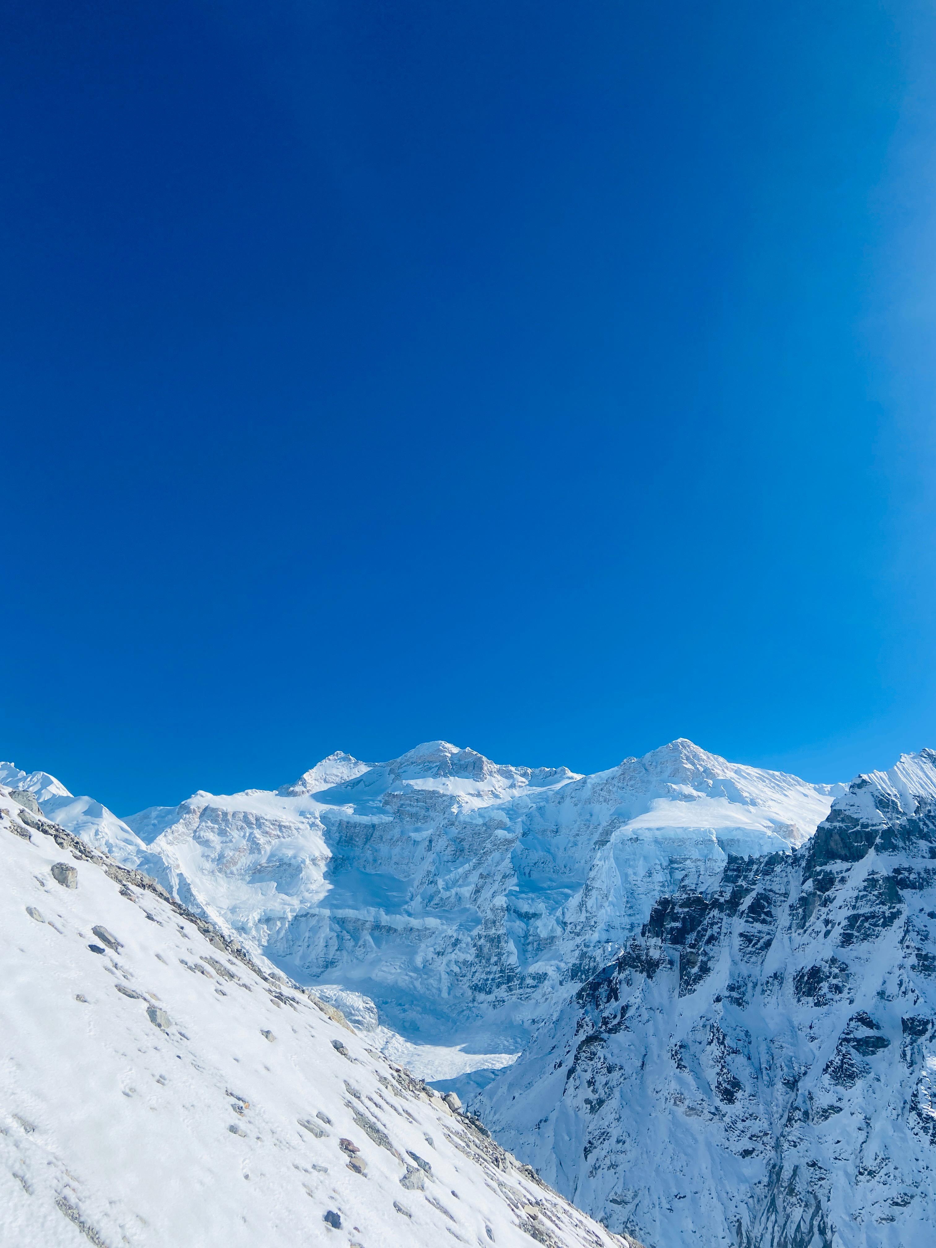
The trail begins by crossing the Ngozumpa Glacier, a vast field of rock, ice, and frozen pools that feels almost otherworldly. The path shifts constantly with the glacier’s movement, so your guide leads carefully through the maze of boulders and ridges.
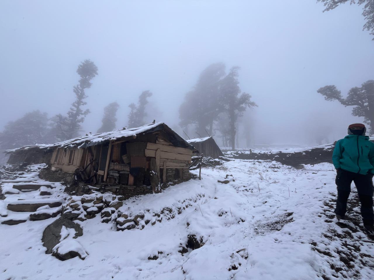
On the far side lies Thagnak (Dragnag), a small cluster of lodges nestled beneath towering cliffs. This is your staging point before the long pass crossing tomorrow.
Arrive early, rest well, and hydrate; the next day is one of the toughest and most beautiful of the entire journey.
Day 10
Thagnak to Dzongla via Cho La Pass
Trek Distance: ~11 km (Thagnak → Cho La Pass → Dzongla)
Time Taken: 8–9 hours
Elevation Profile: 15,420 ft / 4,700 m → 17,782 ft / 5,420 m → 15,912 ft / 4,850 m
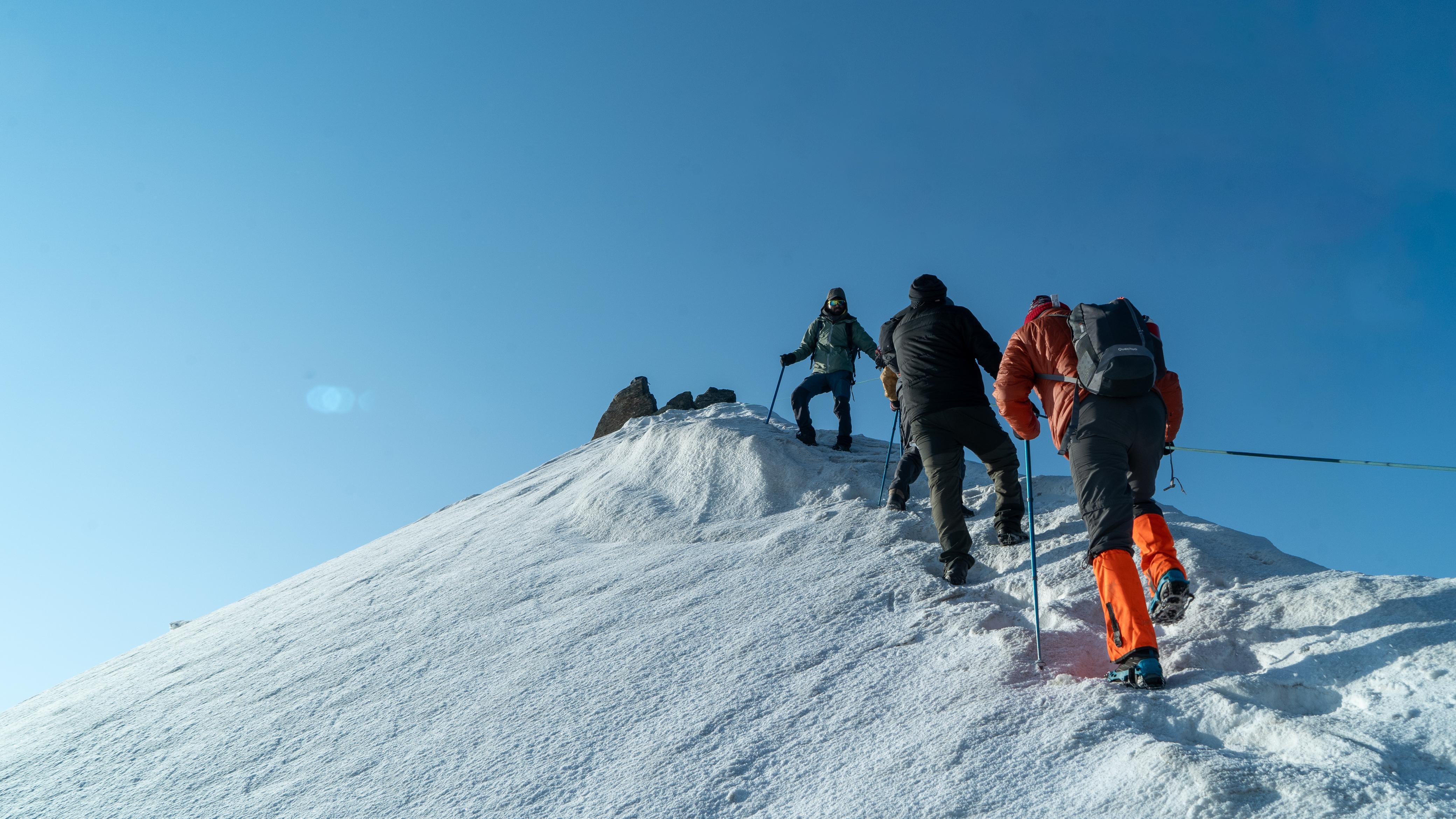
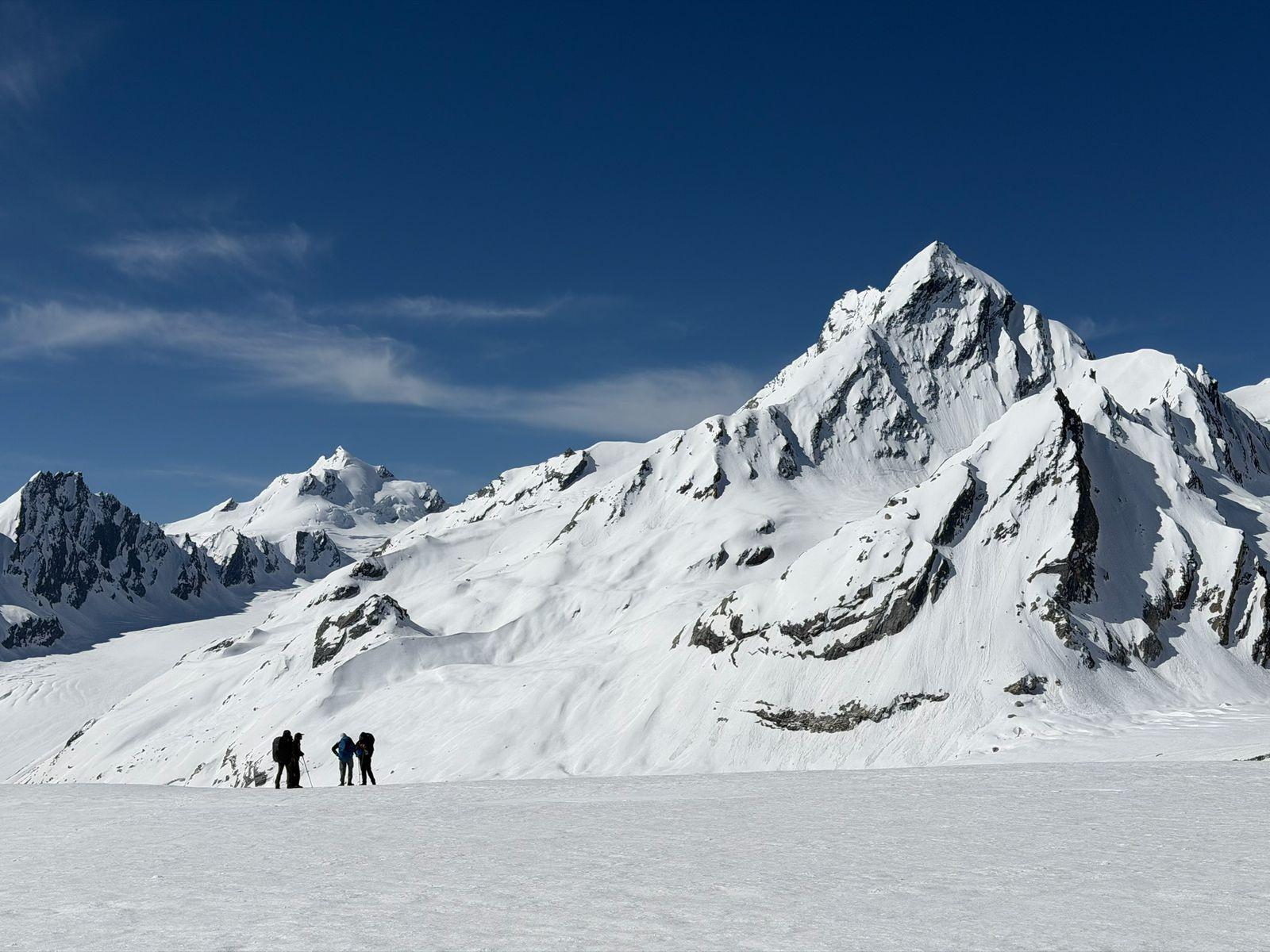
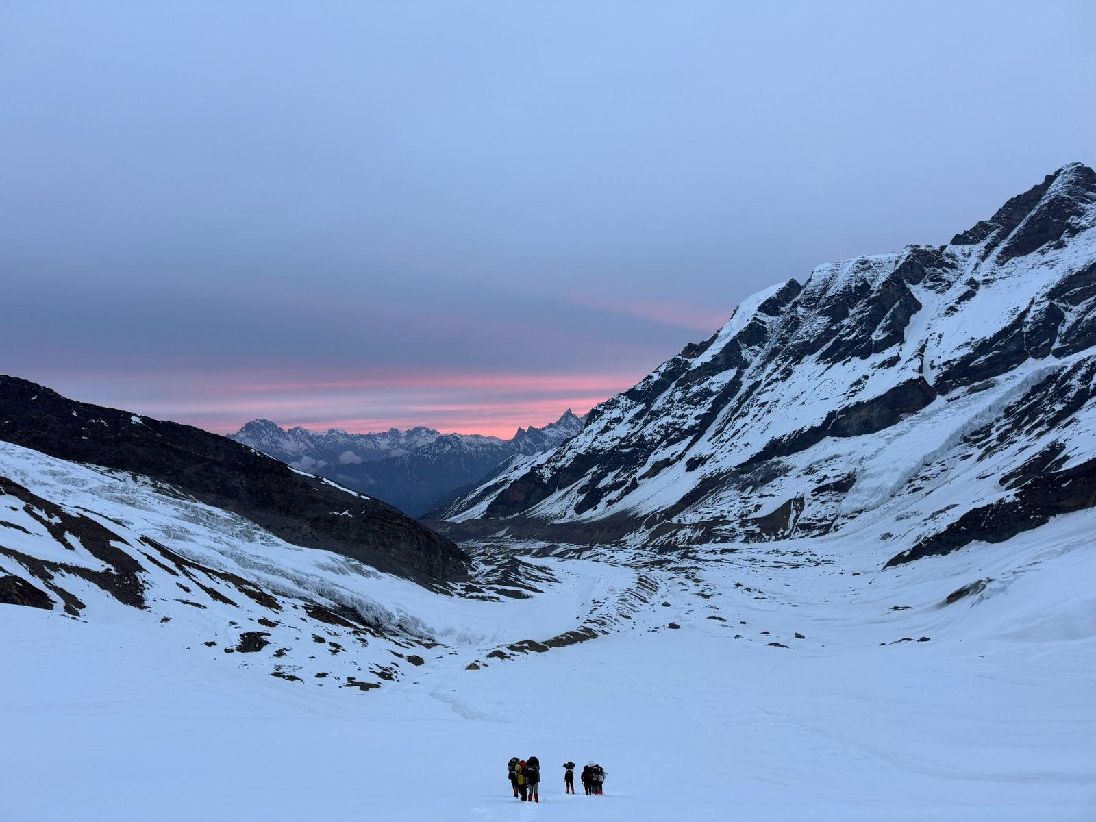
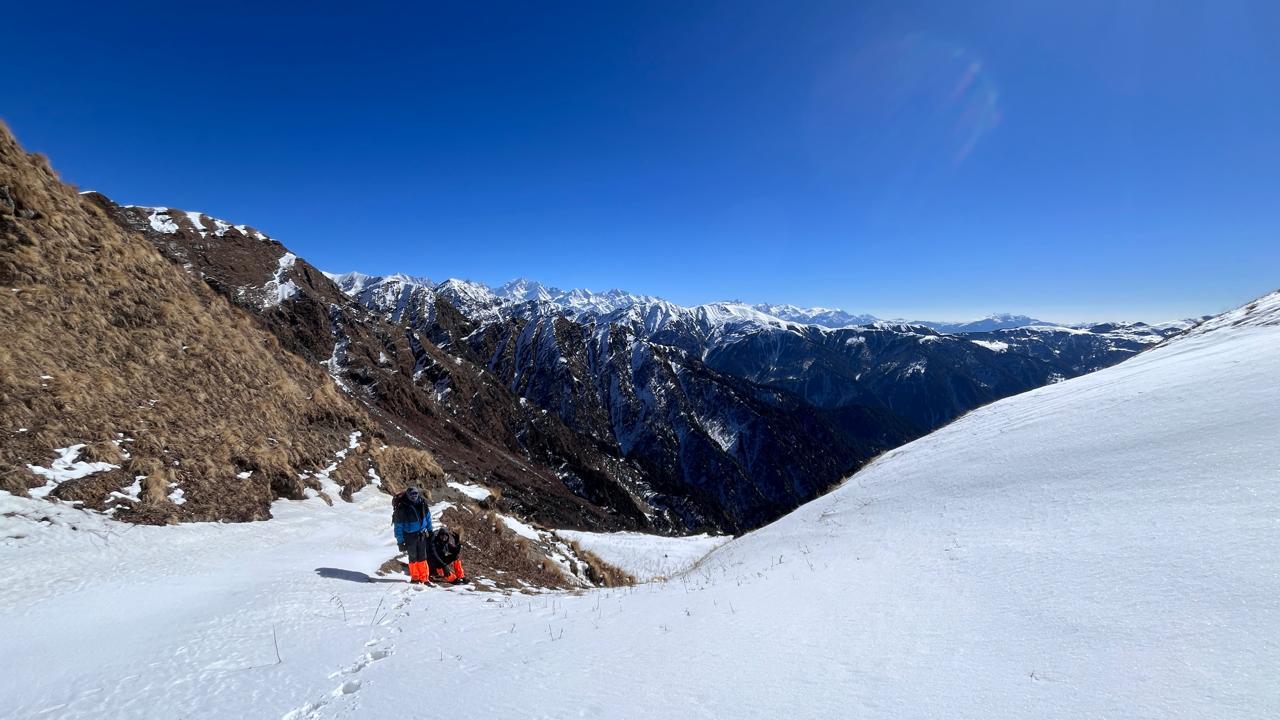
Today is demanding but truly unforgettable. You start early, often before sunrise, as the trail climbs steeply over rocky slopes and glacial moraines toward the Cho La Pass (5,420 m). The air is thin, and the ascent is steady, with the last section crossing a frozen stretch of ice, where microspikes may be required, depending on the conditions.
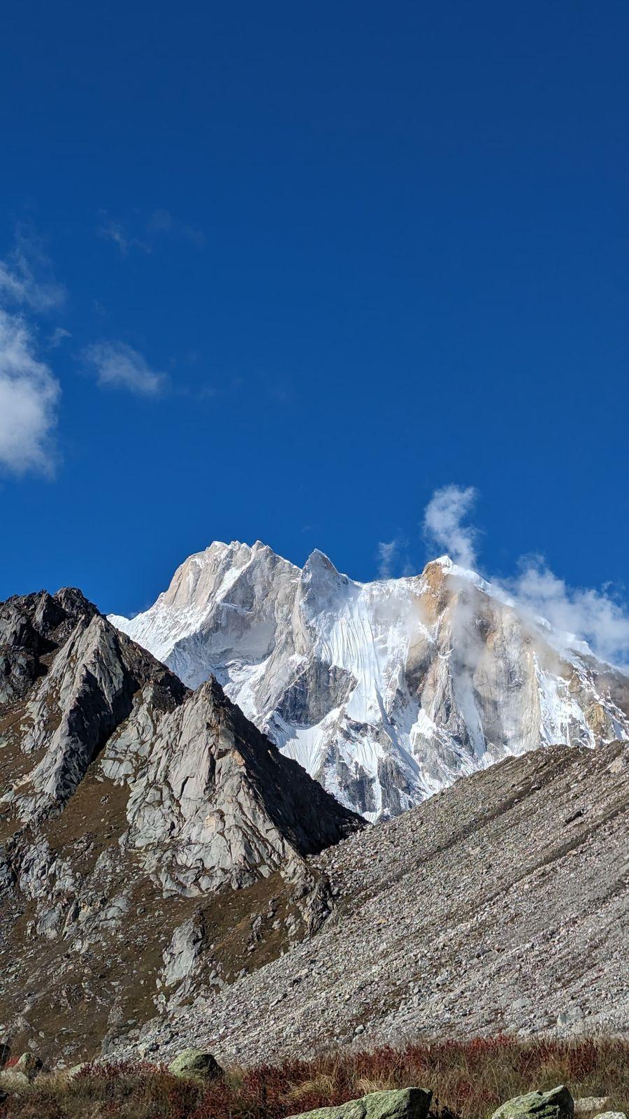
From the top of the pass, the view is jaw-dropping peaks like Amaj Dablam, Cholatse, and Baruntse surround you, and below lies a vast sea of snow and shadow. It’s a moment of both exhaustion and triumph.
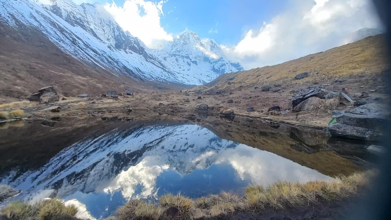
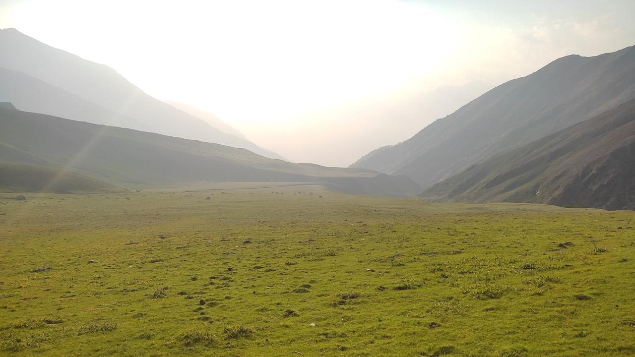
The descent is long and careful, following a narrow trail through boulders and icy patches before opening up into the broad valley of Dzongla, a quiet settlement surrounded by towering cliffs and glaciers.
Evening in Dzongla is peaceful; the hard work is done, and the mountains glow pink in the last light.
Day 11
Dzongla to Lobuche
Trek Distance: ~8 km (Dzongla to Lobuche)
Time Taken: 4–5 hours
Elevation Profile: 15,912 ft / 4,850 m → 16,210 ft / 4,940 m
After yesterday’s long push, today feels refreshingly easy. The trail contours gently around the valley, following a scenic traverse beneath Cholatse and Taboche, their dark rock faces rising steeply above.
You’ll walk through grassy meadows and small glacial streams before joining the main Everest Base Camp trail just before Lobuche. It’s a gradual climb from here to the lodges, a return to the familiar buzz of trekkers heading for Base Camp.
Lobuche sits tucked between massive ridges and glaciers, with views of Pumori and Nuptsé dominating the horizon.
Arrive by early afternoon, rest well, and prepare for the final approach toward Everest.
Day 12
Lobuche to Gorakshep and Sunset Hike to Kala Patthar
Trek Distance: ~10 km (Lobuche to Gorakshep + Kala Patthar round hike)
Time Taken: 6–7 hours
Elevation Profile: 16,210 ft / 4,940 m → 17,598 ft / 5,364 m (Kala Patthar summit 18,514 ft / 5,645 m)
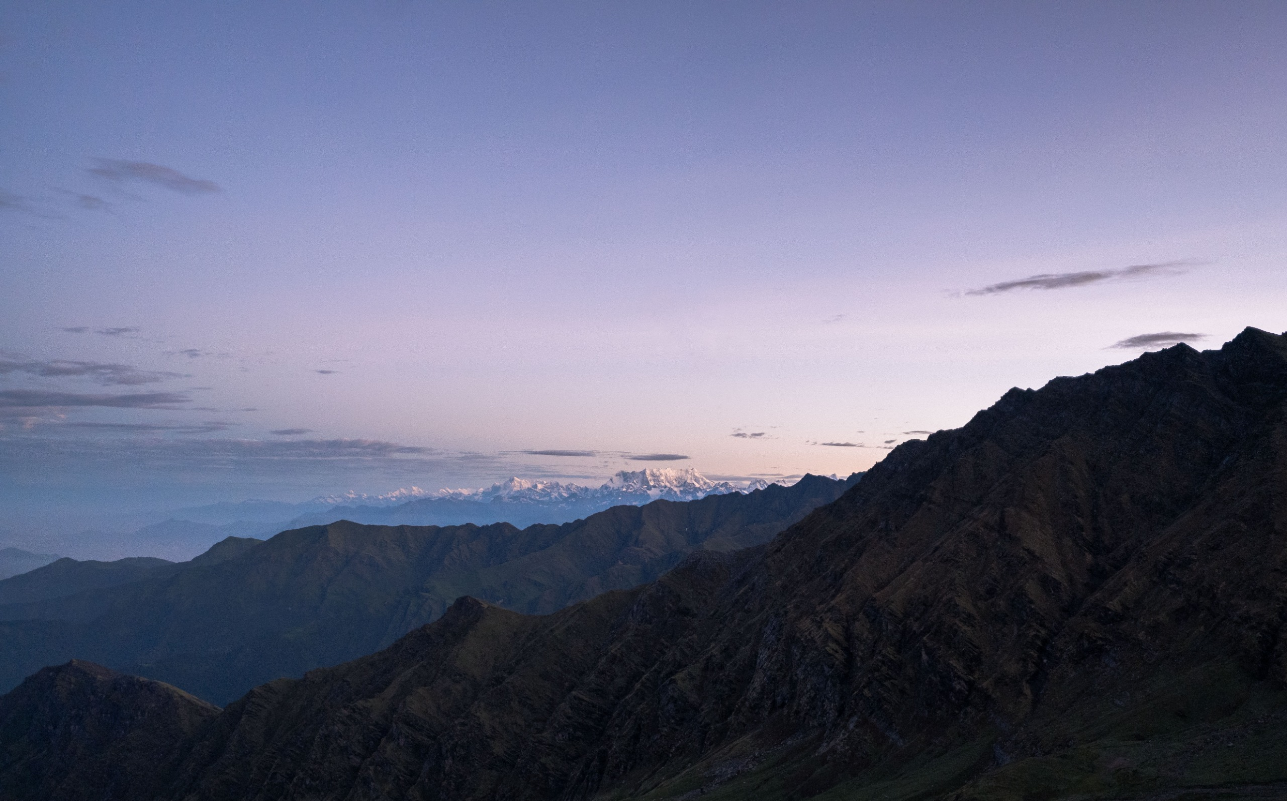
From Lobuche, the trail follows the Khumbu Glacier, winding through the rugged terrain of ice and moraine. The air is thin, the walk deliberate, but the views of Nuptsé, Pumori, and Lingtren keep you company all along the way. After 3 hours, you reach Gorakshep, the final settlement on the Everest trail, a scattering of lodges perched in a valley of rock and wind.
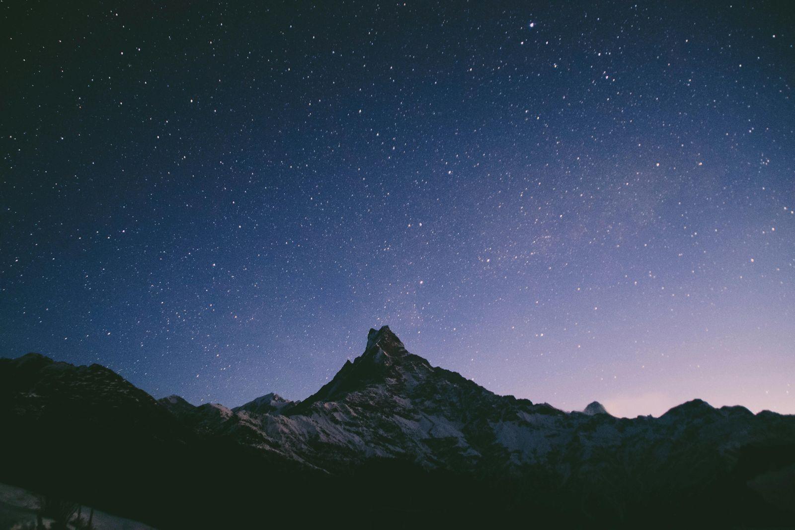
After a short rest and warm lunch, you head out again, this time for the sunset hike to Kala Patthar (5,645 m).
It’s a steady, steep climb that rewards you with one of the most extraordinary views on the planet. As the sun drops behind Everest and Lhotse, the peaks turn from silver to gold to crimson. Below, the entire valley glows in shades of blue and orange.
The sunset here feels almost unreal, quiet, humbling, and timeless. You descend carefully back to Gorakshep for dinner and an early rest.
Day 13
Trek to Everest Base Camp and Descend to Pheriche
Trek Distance: ~15 km (Gorakshep → Everest Base Camp → Pheriche)
Time Taken: 8–9 hours
Elevation Profile: 17,598 ft / 5,364 m → 14,340 ft / 4,370 m
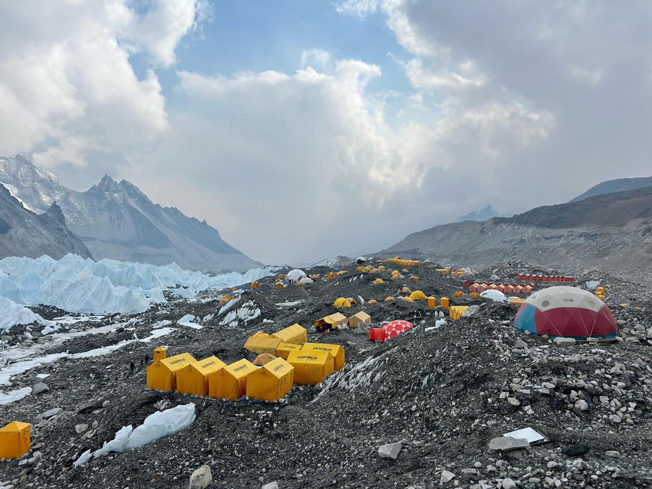
After yesterday’s sunset at Kala Patthar, today’s the day you finally set foot on Everest Base Camp. The trail starts early, winding along the Khumbu Glacier, a mix of rock, ice, and grit underfoot. The pace is slow and steady as you climb the last stretch toward Base Camp, marked by prayer flags fluttering against the icefall.
Standing at 5,364 m, surrounded by peaks like Pumori and Nuptse, it’s hard to believe you’ve walked all the way here. The Khumbu Icefall, glittering in the morning sun, is both breathtaking and intimidating, a frozen reminder of where every Everest climb begins.
After soaking in the moment (and a few well-earned photos), you retrace your steps to Gorakshep, have a warm meal, and begin your descent toward Pheriche. The air feels thicker, your lungs happier, and the comfort of lower altitude starts to sink in.
Evenings at Pheriche are peaceful, with a quiet tea house, good food, and that deep sense of satisfaction that comes only after the hardest day is done.
Day 14
Pheriche to Namche Bazaar
Trek Distance: ~20 km (Pheriche to Namche Bazaar)
Time Taken: 6–7 hours
Elevation Profile: 14,340 ft / 4,370 m → 11,286 ft / 3,440 m
The return feels lighter, both in air and spirit. From Pheriche, the trail descends steadily through Pangboche and Tengboche, crossing back into rhododendron forests and green valleys that now feel almost unfamiliar after days among rock and ice.
The views of Ama Dablam stay with you for most of the way, changing shape as you descend. After a relaxed lunch at Tengboche or Phunki Tenga, the final climb and long downhill trail bring you back into Namche Bazaar by evening.
Back at a lower altitude, it’s time to breathe easy, take a long, hot shower, and maybe even step into a café or bar for a celebratory coffee or beer. After days in the high mountains,
Namche feels almost like civilisation again, bright lights, music, and warmth.
Day 15
Namche Bazaar to Lukla
Trek Distance: ~19 km (Namche Bazaar to Lukla)
Time Taken: 6–7 hours
Elevation Profile: 11,286 ft / 3,440 m → 9,317 ft / 2,840 m
It’s a long and nostalgic day, the final stretch of the journey. The trail drops steeply from Namche, crossing a series of suspension bridges over the Dudh Koshi River and passing familiar villages that now feel different on the way back.
The forests grow thicker, the air warmer, and prayer flags mark every bend of the trail. It’s hard not to look back, toward the direction where Everest stands, hidden but never forgotten.
By afternoon, you reach Lukla, where the trek ends just as it began. There’s time to celebrate with your guides and porters, share stories from the trail, and raise a toast to the days spent in the shadow of the world’s tallest mountains.
Evening in Lukla has its own rhythm, laughter, good food, and that quiet pride of having completed one of the most iconic walks on Earth.
Day 16
Fly back to Kathmandu
Trek Distance: — 0 km
Time Taken: 30-minute flight (weather permitting)
Elevation Profile: 9,317 ft / 2,840 m → 4,600 ft / 1,400 m
An early morning flight takes you from Lukla back to
Kathmandu, marking the end of your Himalayan journey. If the weather is clear, the flight offers one last breathtaking view of the Khumbu Valley and the snow-clad peaks you’ve just walked among.
Back in Kathmandu, the warmth of the city feels almost surreal, traffic, food, and comfort after days in the wilderness. You’ll check into your hotel, take a long shower, and perhaps step out in the evening for a quiet meal or to explore the cafés and shops of Thamel.
It’s a day to unwind, reflect, and let it all sink in: the landscapes, the fatigue, the laughter, and the stillness of standing beneath Everest.
Our Expectations from Participants
We believe treks like Everest Base Camp are not just about fitness, they’re about attitude, preparation, and respect for the mountains.
Here’s what we expect from everyone who joins us:
Commitment to preparation: Be willing to put in consistent physical training for at least 2 months before the trek. We’ll provide a structured fitness plan and guide you through it.
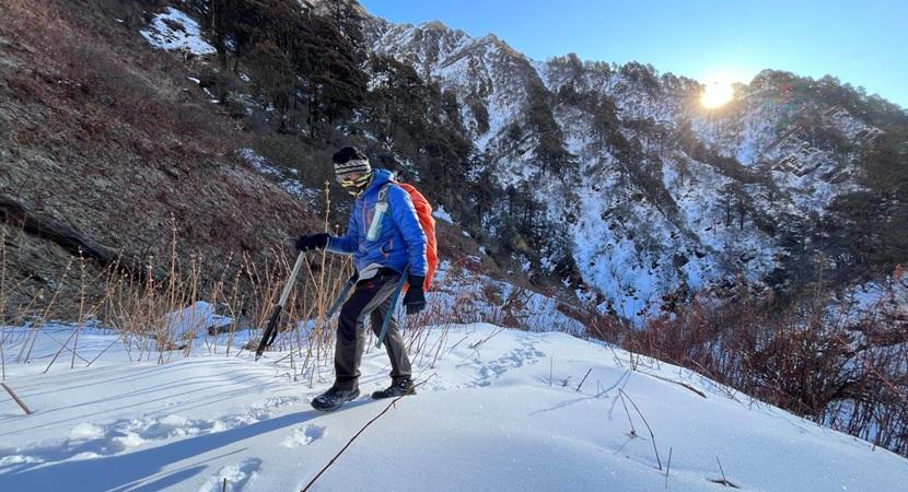
Comfort with long walking days: Be ready to walk 10–20 km a day for 6–9 hours on varied terrain. Some days will be easier, some will test your patience; that’s part of the experience.
Adaptability and patience: The Himalayas move at their own pace. Weather, logistics, or flight schedules may change; staying flexible is key.
Respect for local culture: You’ll be walking through Sherpa villages and monasteries, and approach every space with curiosity and humility.
Team spirit: Treks like these are best experienced together. Be open to sharing, helping, and creating a positive group dynamic.
Personal responsibility: Carry your own essentials, follow your leader’s safety instructions, and take care of your hydration, nutrition, and rest.
With the right mindset and preparation, Everest Base Camp isn’t just achievable, it’s gratifying.
Minimum Fitness Requirement
Everest Base Camp via Gokyo RI is a Level 4 trek on our difficulty scale, achievable for anyone who trains consistently and respects the altitude. You don’t need to be an athlete, but you do need a steady foundation of endurance, strength, and patience.
Here’s what we look for in participants:
Endurance: Ability to walk continuously uphill and downhill for several hours while carrying a 6–8 kg backpack.
Cardiovascular fitness: You should be able to comfortably handle long walking days, up to 8–10 hours, on the higher sections near Gokyo RI, Chola Pass, and Gorakshep, as well as Kala Patthar.
Training consistency: Follow a fitness routine for 6–8 weeks before the trek, including:
- Cardio sessions (3–5 times a week): Running, brisk walking, cycling, swimming, or stair climbing for 45–60 minutes.
- Strength training (2–3 times a week): Focus on your core, legs, glutes, and back.
- Weekend hikes: If possible, include long walks or hikes with a loaded backpack to simulate trek conditions.
Mental preparedness: EBC is as much a test of patience and rhythm as of strength. Staying positive, eating well, and pacing yourself make all the difference.
If you’re unsure where to start, don’t worry. Once you sign up, you’ll receive a customised training plan tailored to your fitness level and timeline.
Inclusion
Exclusion
How difficult is the EBC via Gokyo Ri trek?
What makes this route different from the regular EBC?
What’s the highest altitude we’ll reach?
Cho La Pass: 5,420 m (17,782 ft)
Everest Base Camp: 5,364 m (17,598 ft)
Kala Patthar (optional): 5,545 m (18,192 ft) - Highest
How many days does this trek take?
Do we need any special permits?
Sagarmatha National Park Entry Permit & Khumbu Pasang Lhamu Rural Municipality Permit
Odyssey will arrange all required permits.
What kind of accommodation is provided?
What about food and water?
Hot drinks, such as tea, coffee, and ginger lemon honey, are available everywhere.
Boiled or filtered water is provided at all stops. Carry a reusable bottle and purification tablets if you prefer.
How cold does it get?
Nighttime (Gokyo, Lobuche, Gorakshep): -5°C to -12°C
It’s colder than the classic EBC route, especially near Cho La and Gokyo, but the lodges are well-prepared with blankets and warm dining areas.
Is there Wi-Fi or a mobile network on this route?
How much cash should I carry?
ATMs are available only till Namche, so carry enough Nepali cash from Kathmandu.
Do I need trek insurance?
Will I feel the effects of altitude?
What’s the best time to do the Gokyo Ri – EBC route?
Spring (March–May): Slightly warmer, longer days, rhododendron bloom.
Winter (Dec–Feb): Freezing, but quiet and incredibly scenic (experienced trekkers only).
SELECT DATE TO REGISTER


Thank You!
Your form has been submitted successfully. We'll get back to you soon.
₹ 72,999 + 5% GST