


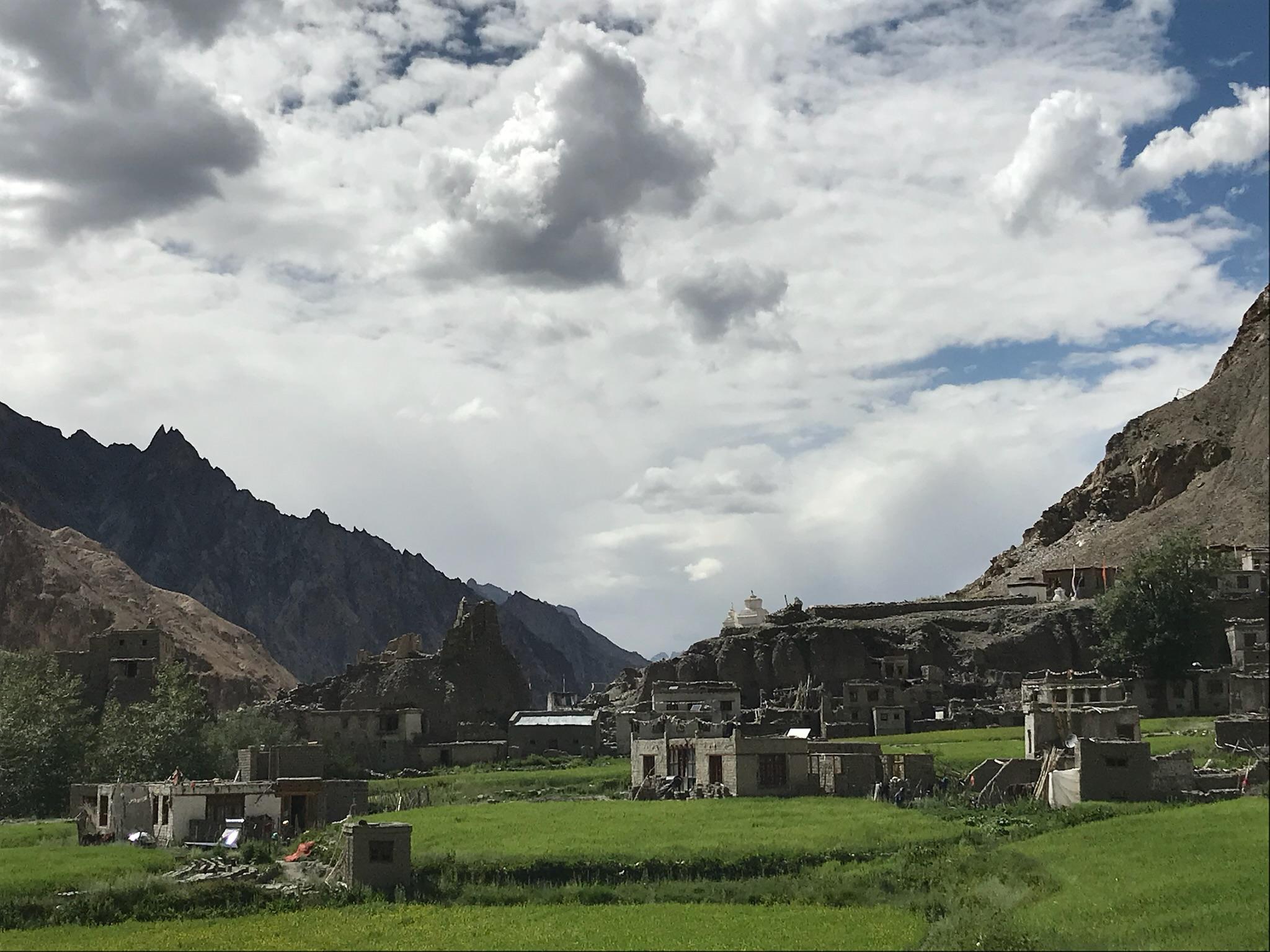
The Goecha La Trek is Sikkim’s most celebrated high-altitude trail — a journey that doesn’t just lead you to the base of the world’s third-highest mountain, Kanchenjunga (8,586 m), but into the very heart of Sikkim’s mountain heritage. Starting from Yuksom, the state’s first capital, the trek follows an ancient trail once used by yak herders and traders, winding through Khangchendzonga National Park, a UNESCO World Heritage Site known for its staggering biodiversity and sacred landscapes.
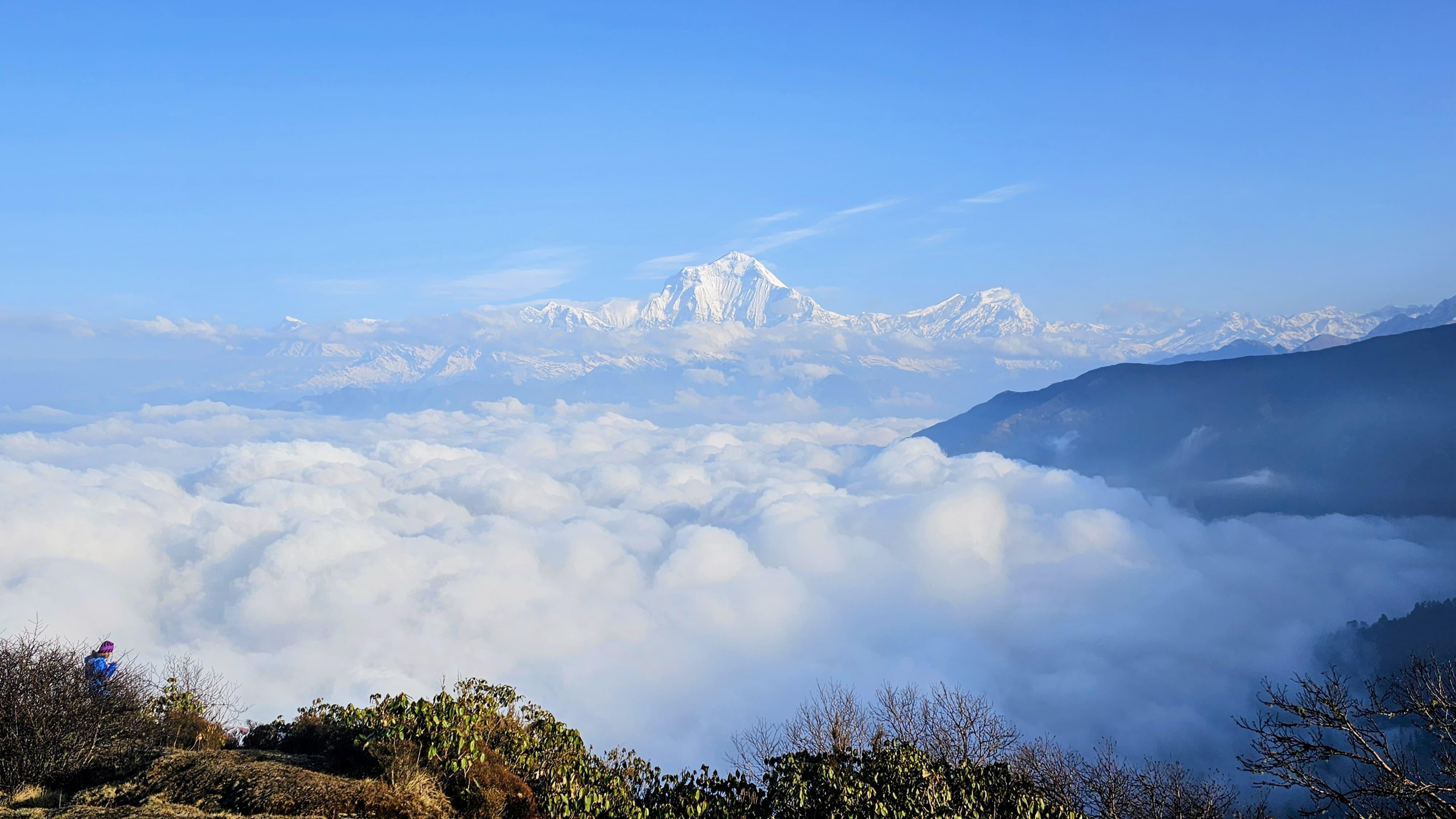
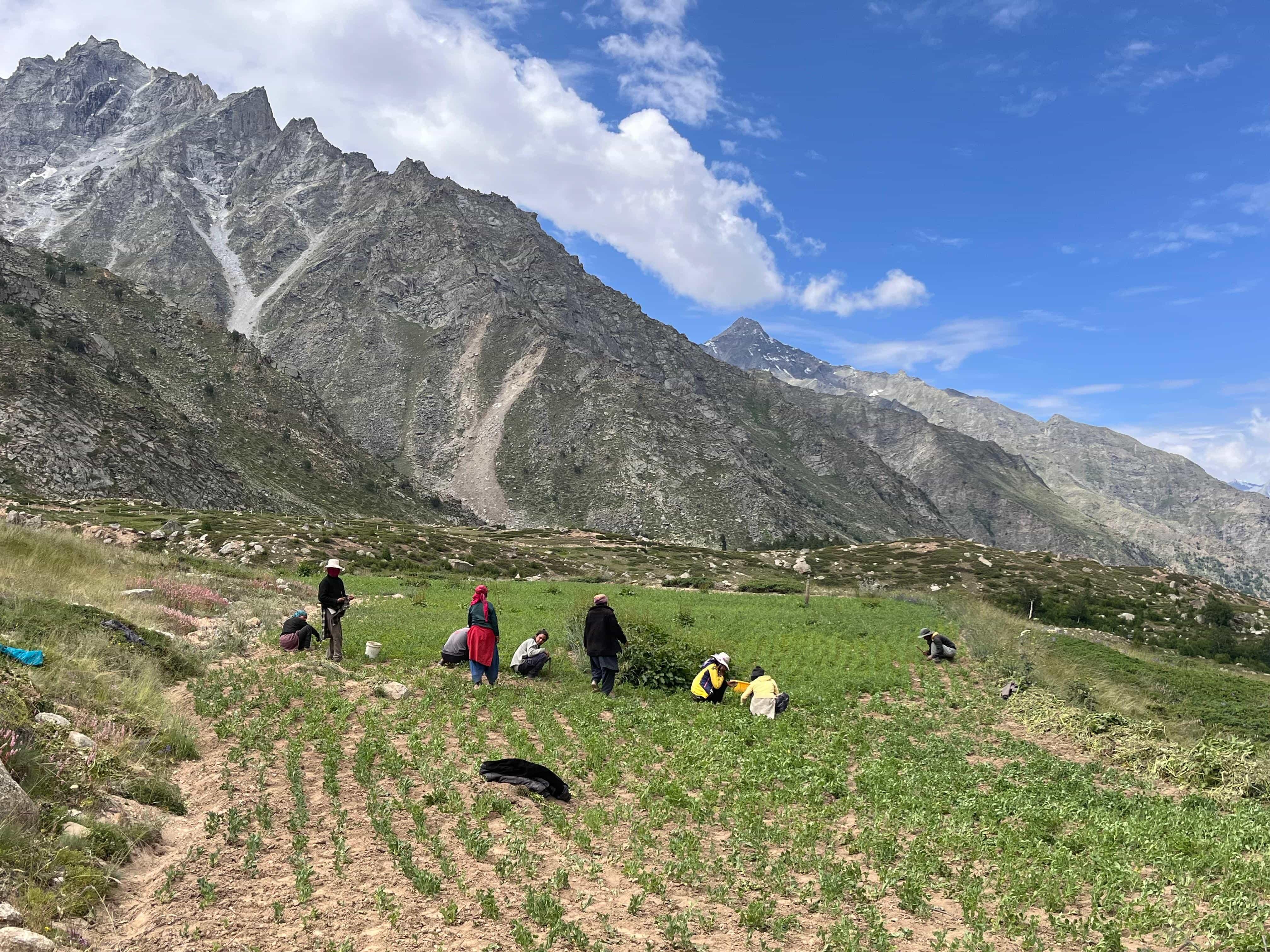
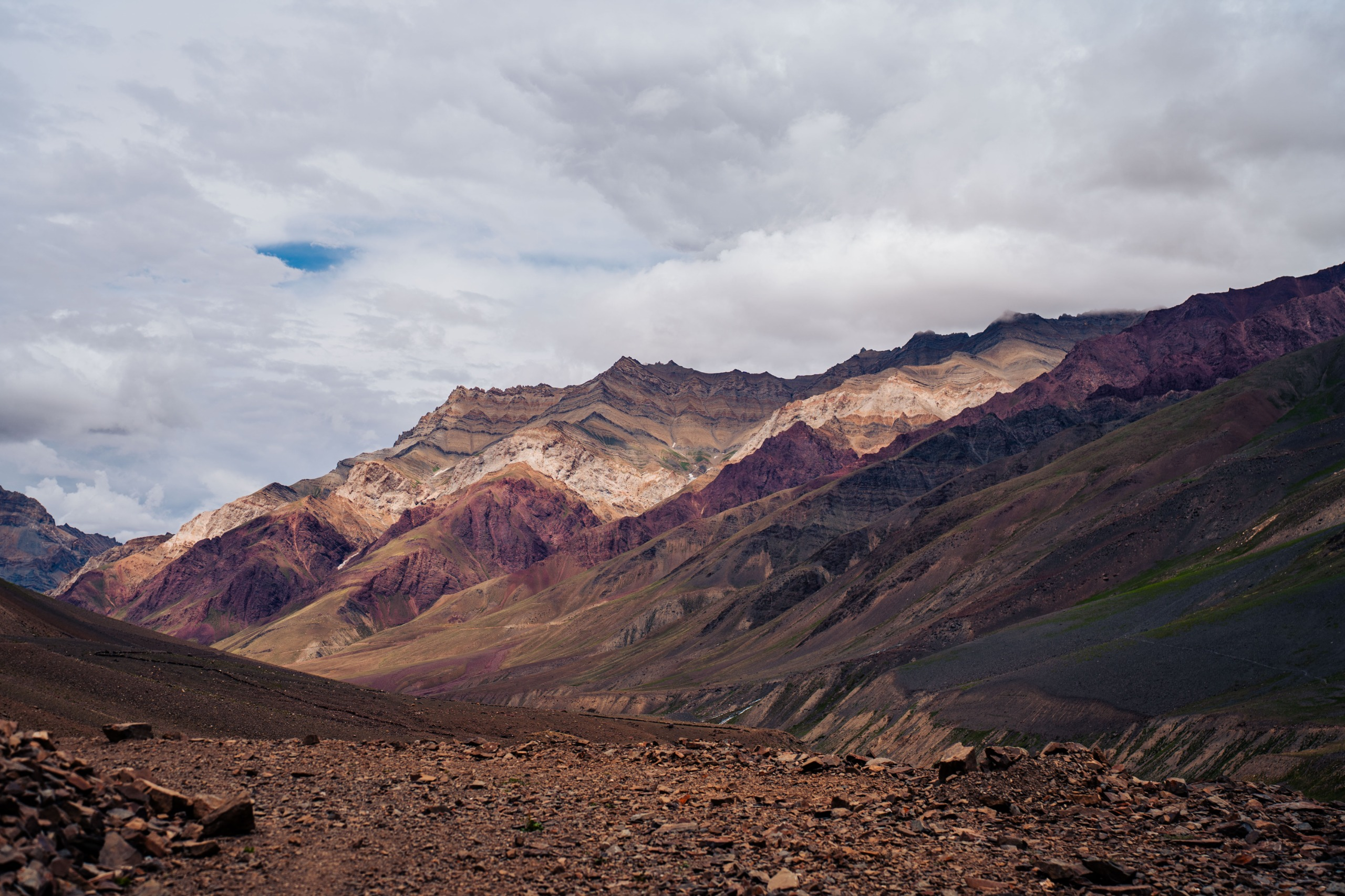
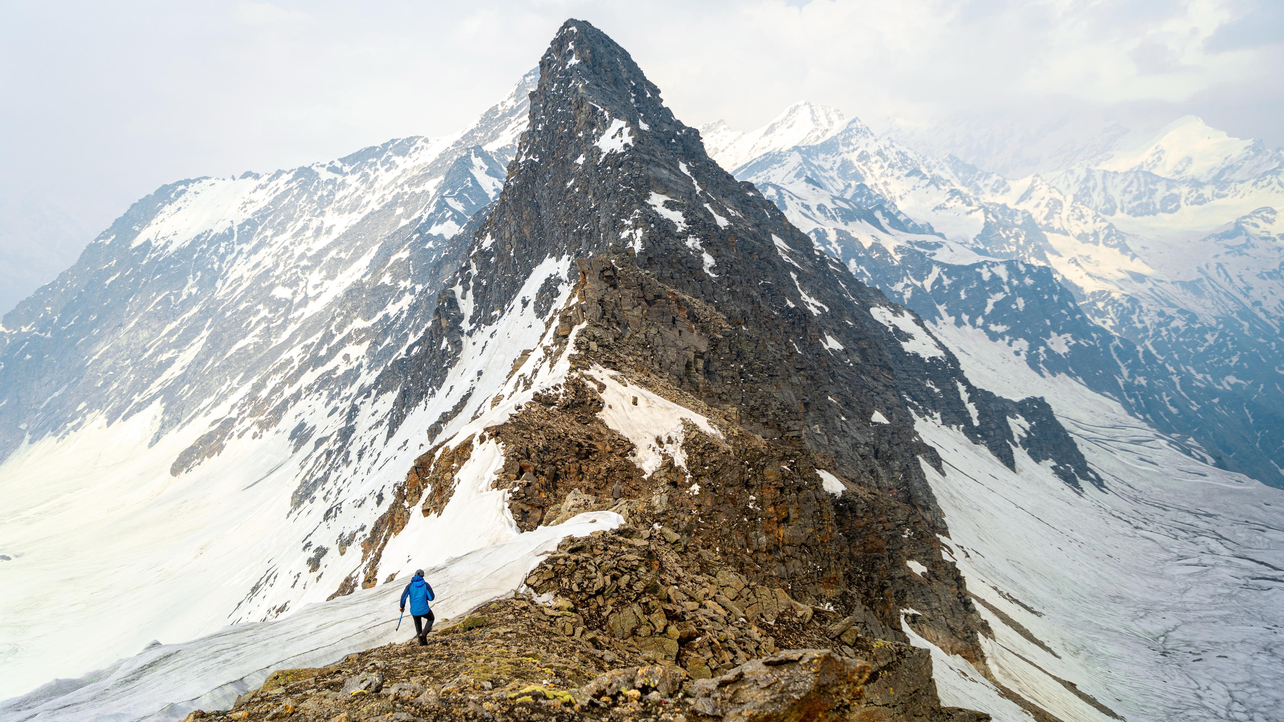
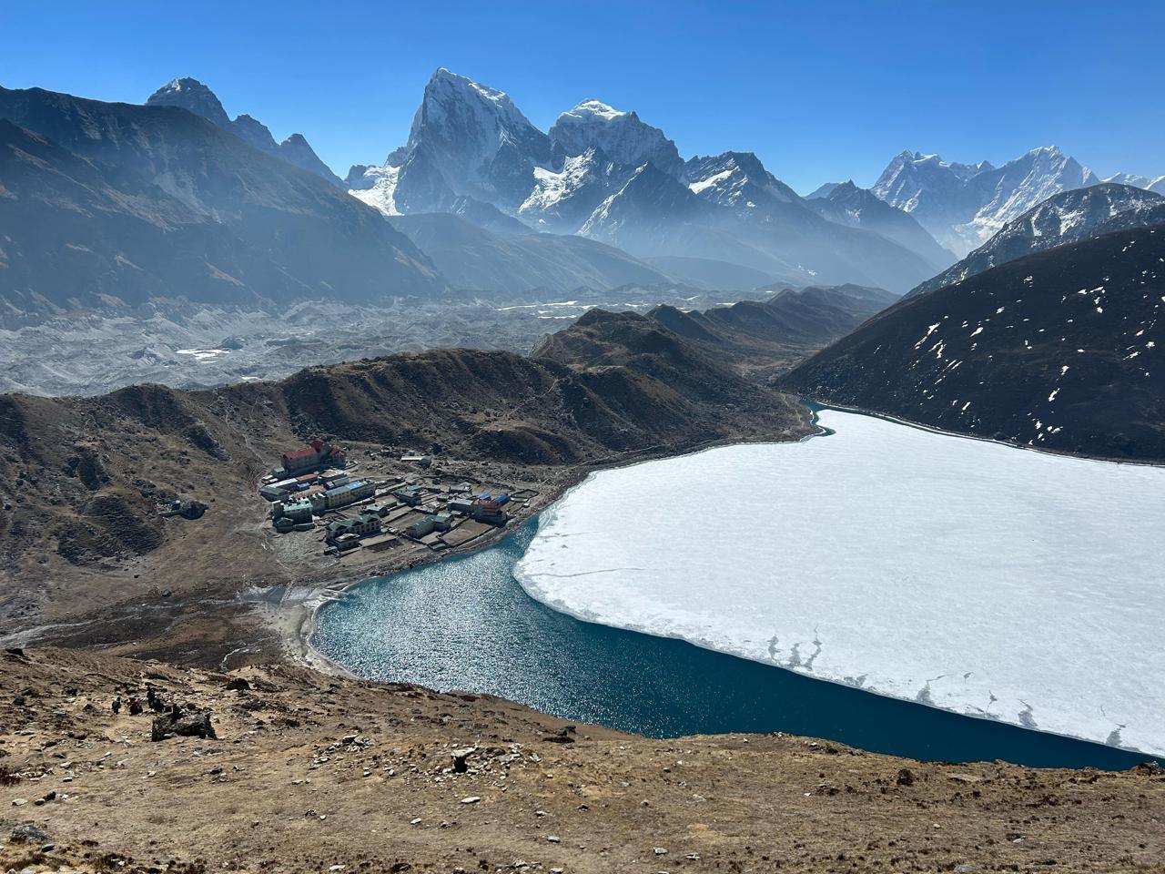
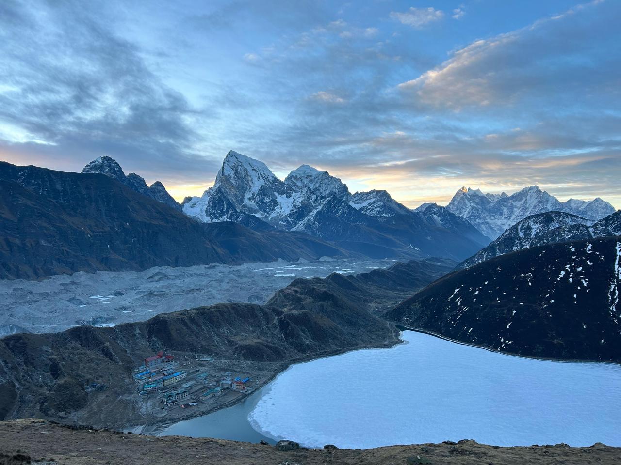
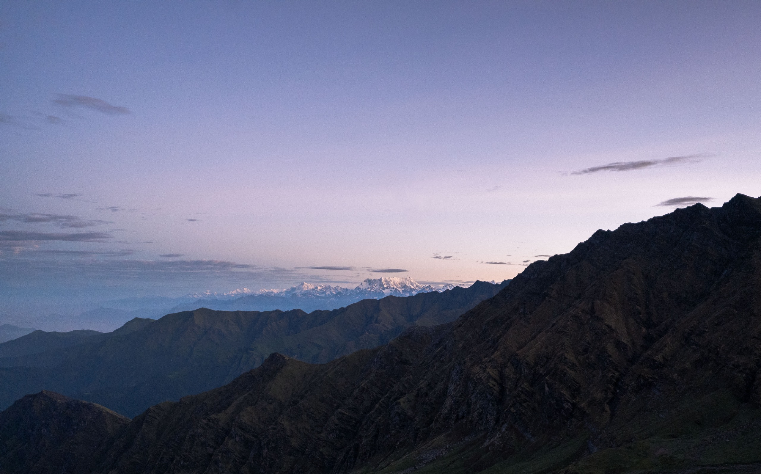
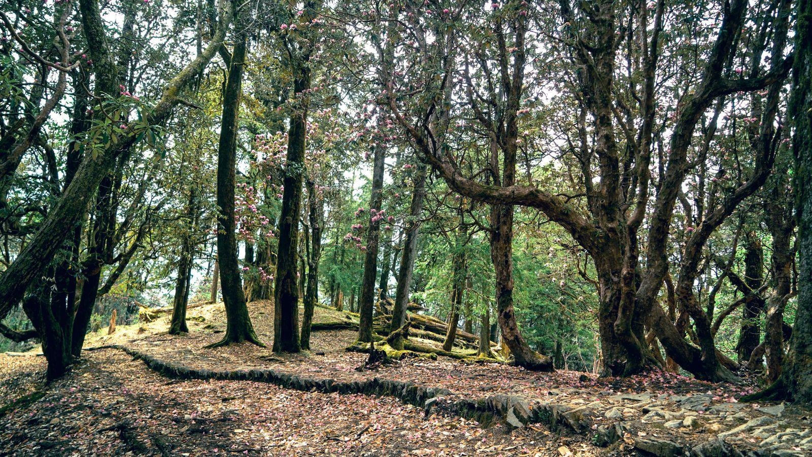
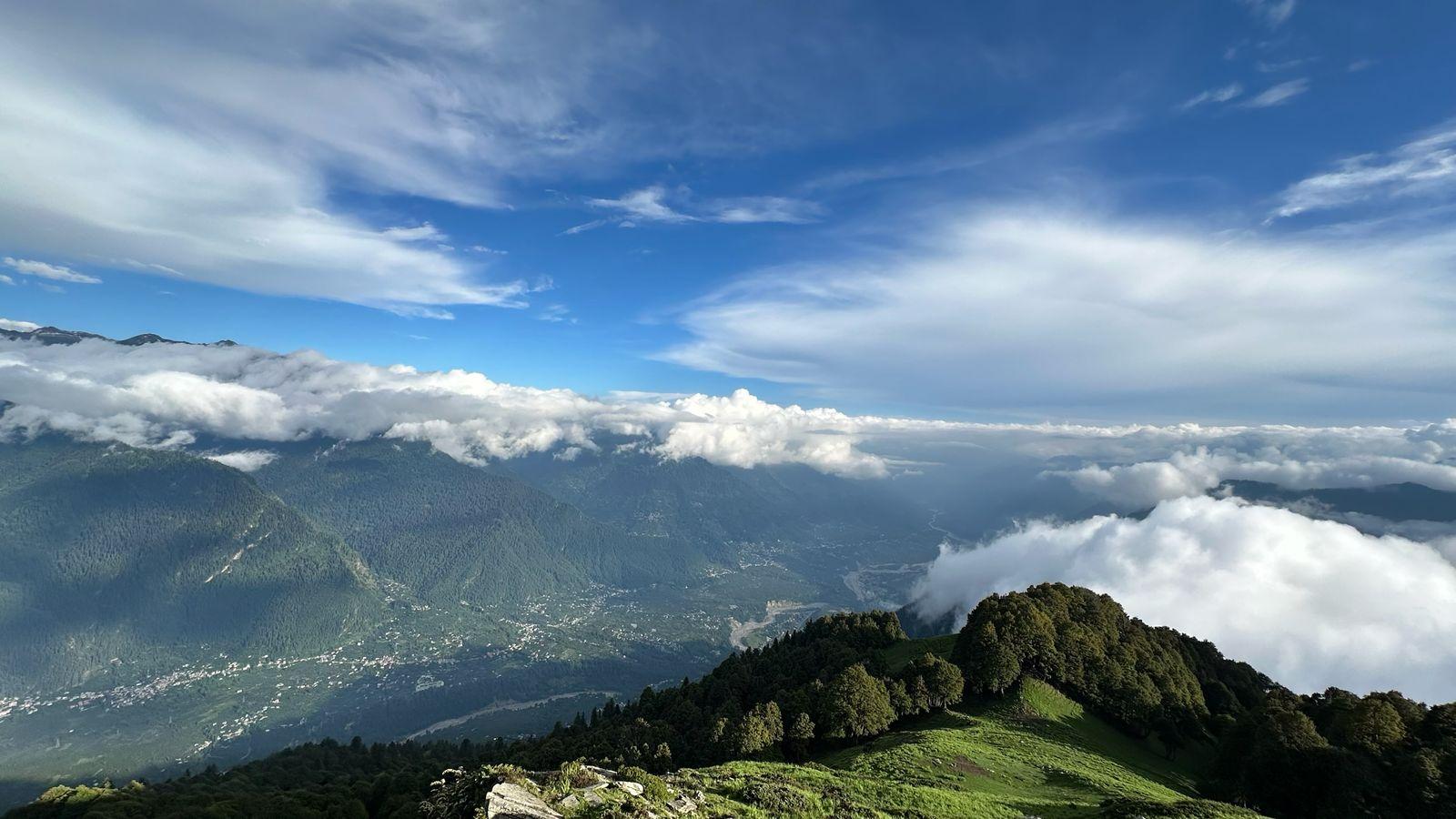
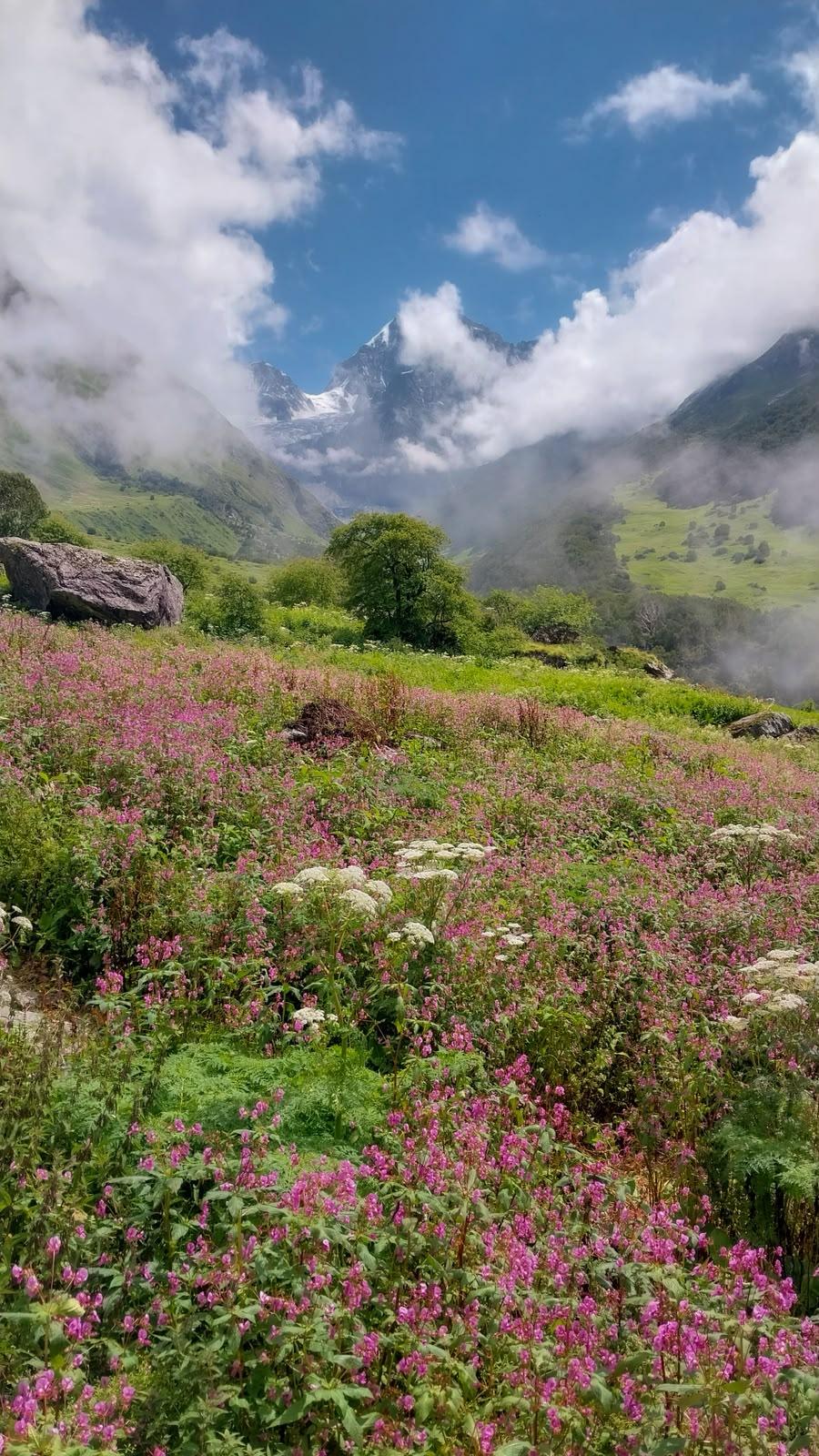
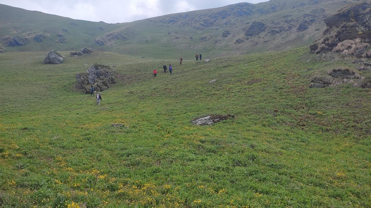
From the very beginning, the trail feels alive with stories. The dense rhododendron and magnolia forests around Sachen and Tshoka thrum with birdsong, their moss-laden canopies glowing emerald under filtered mountain light. Villages like Tshoka, home to the Bhutia community, carry echoes of Tibetan migration — prayer flags flutter over wooden monasteries, butter lamps glow in the dusk, and chants drift softly through the cold evening air. As trekkers ascend beyond Dzongri, where the air thins and the pines give way to alpine meadows, the Himalayas reveal themselves in grand silence — Pandim, Rathong, and Kanchenjunga standing like sentinels of a forgotten kingdom.
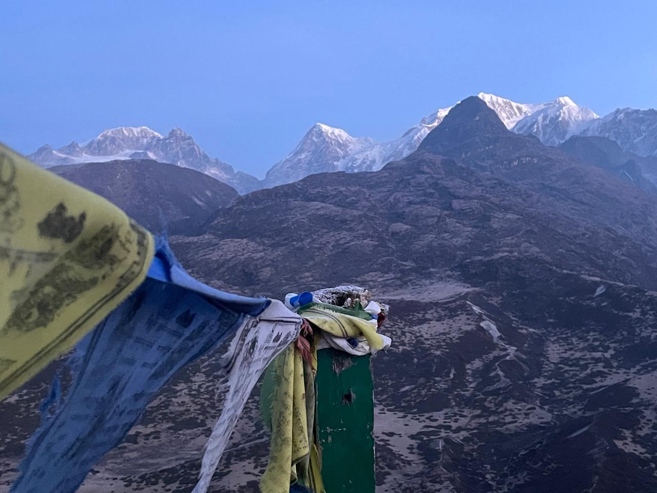
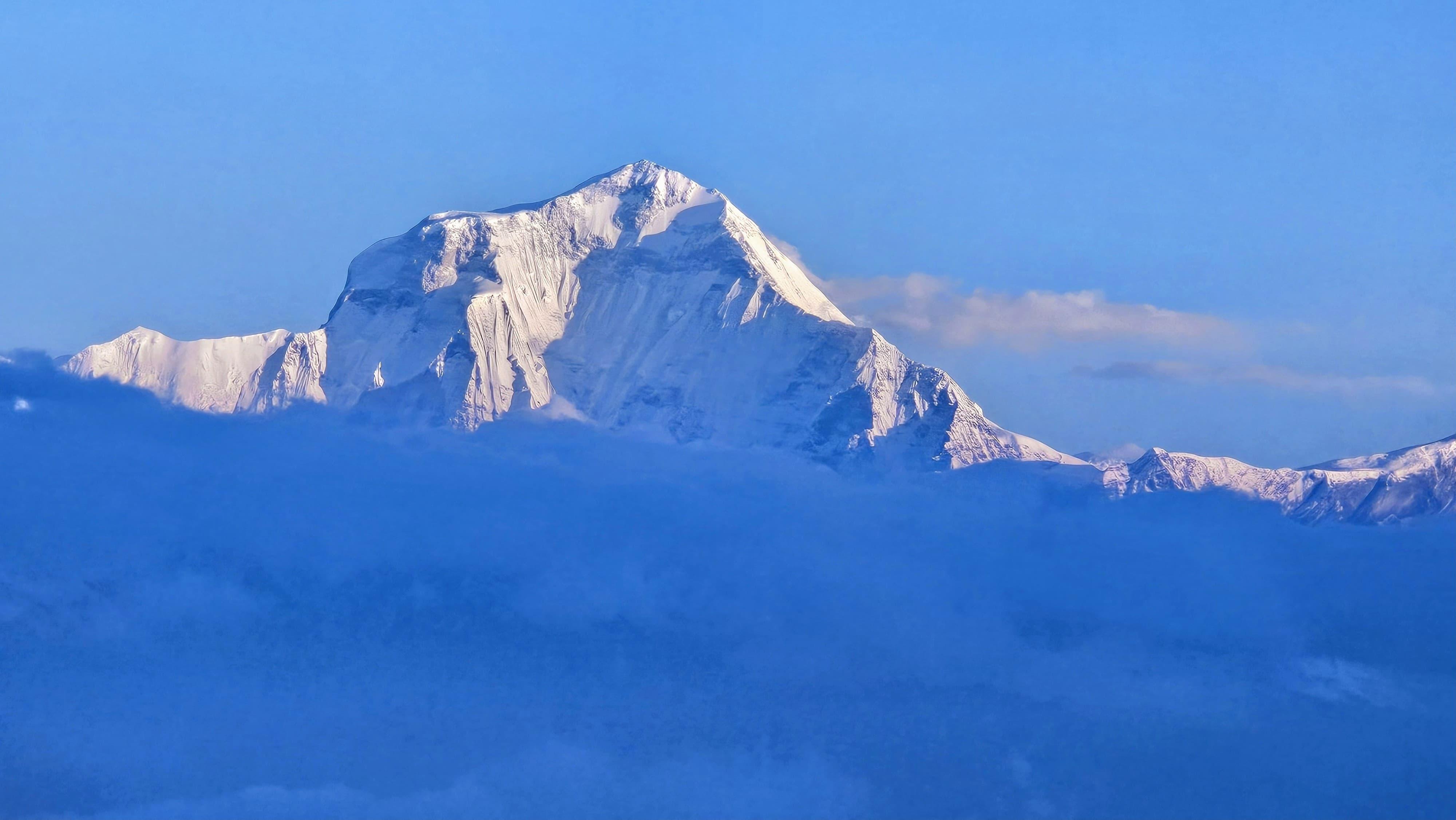
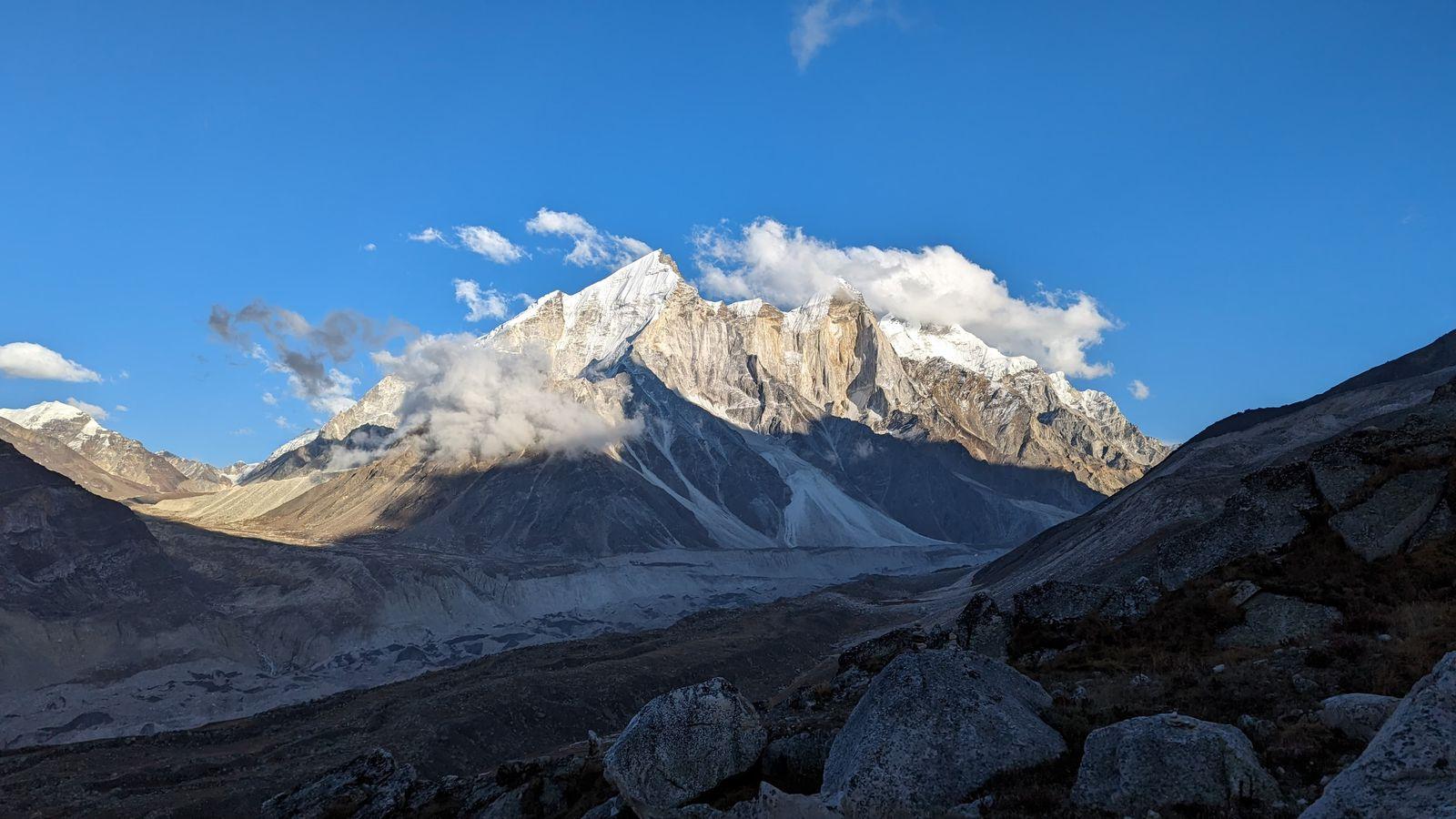
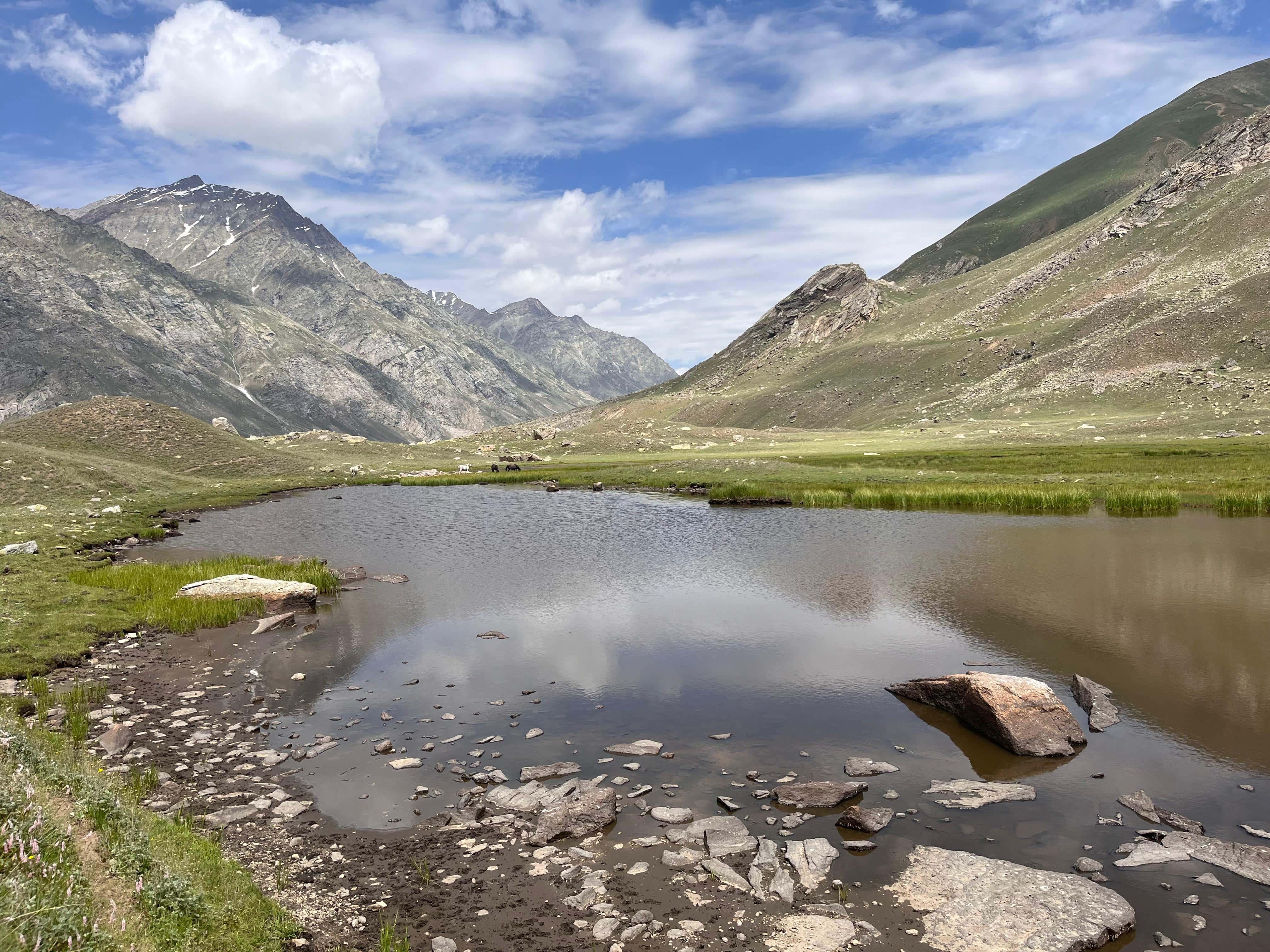
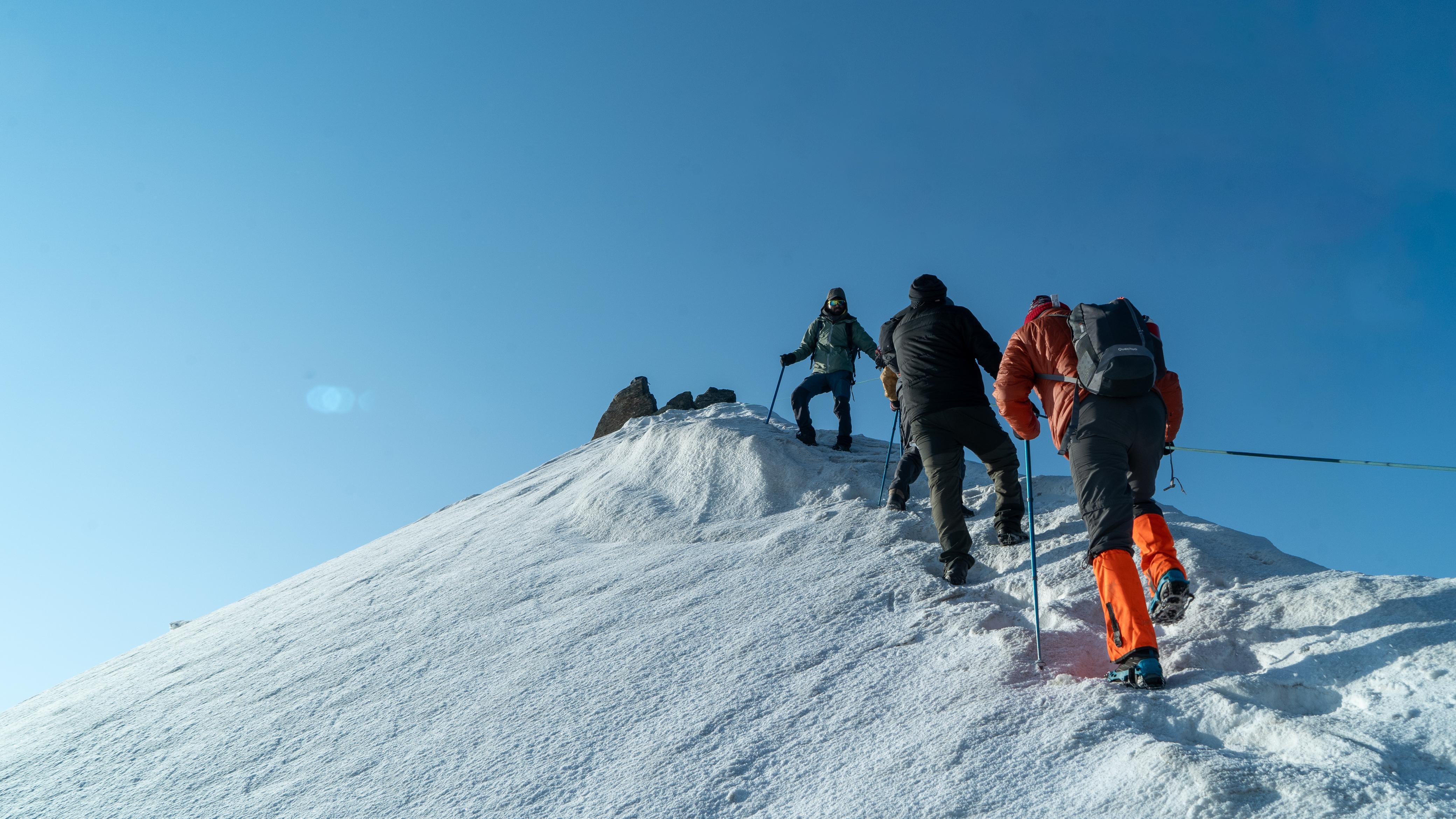
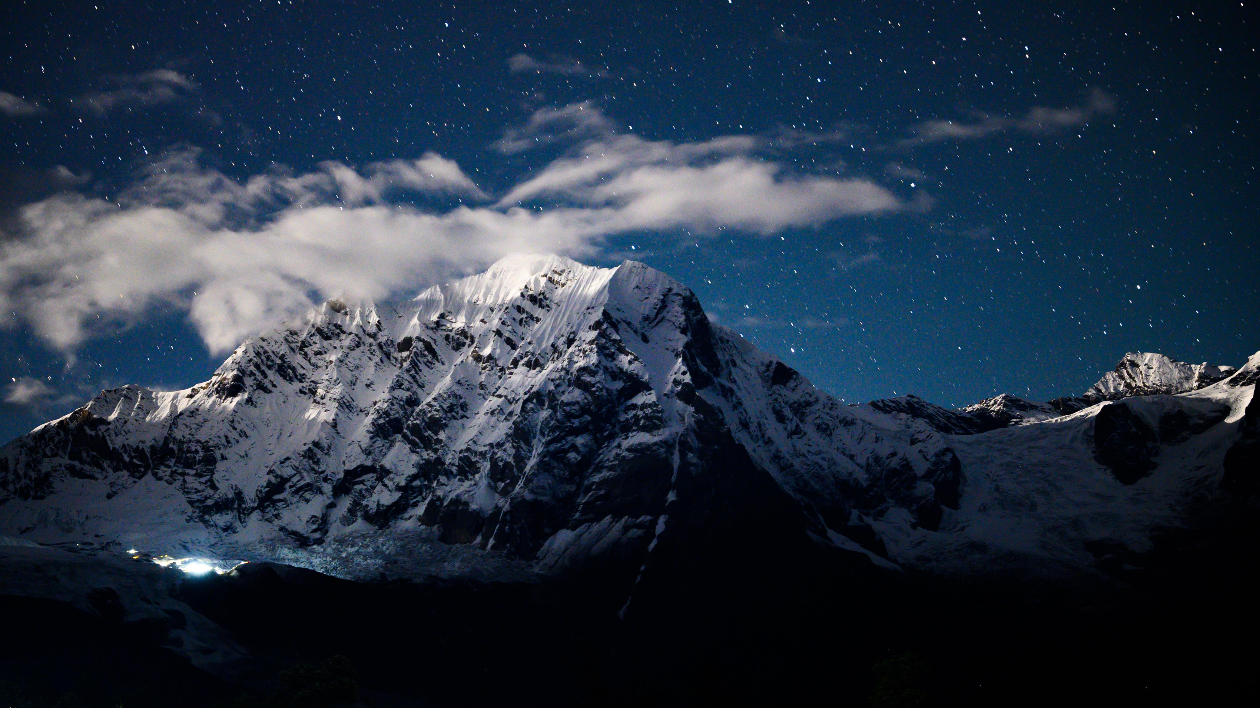
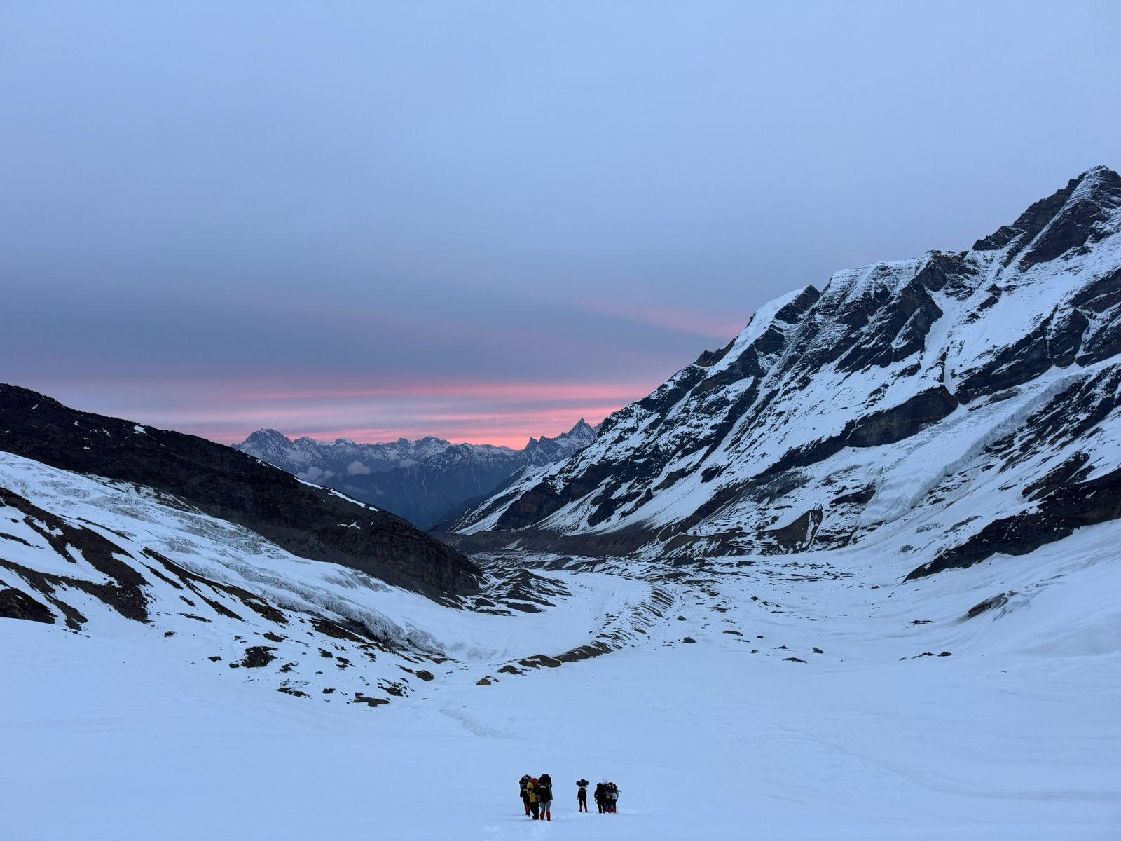
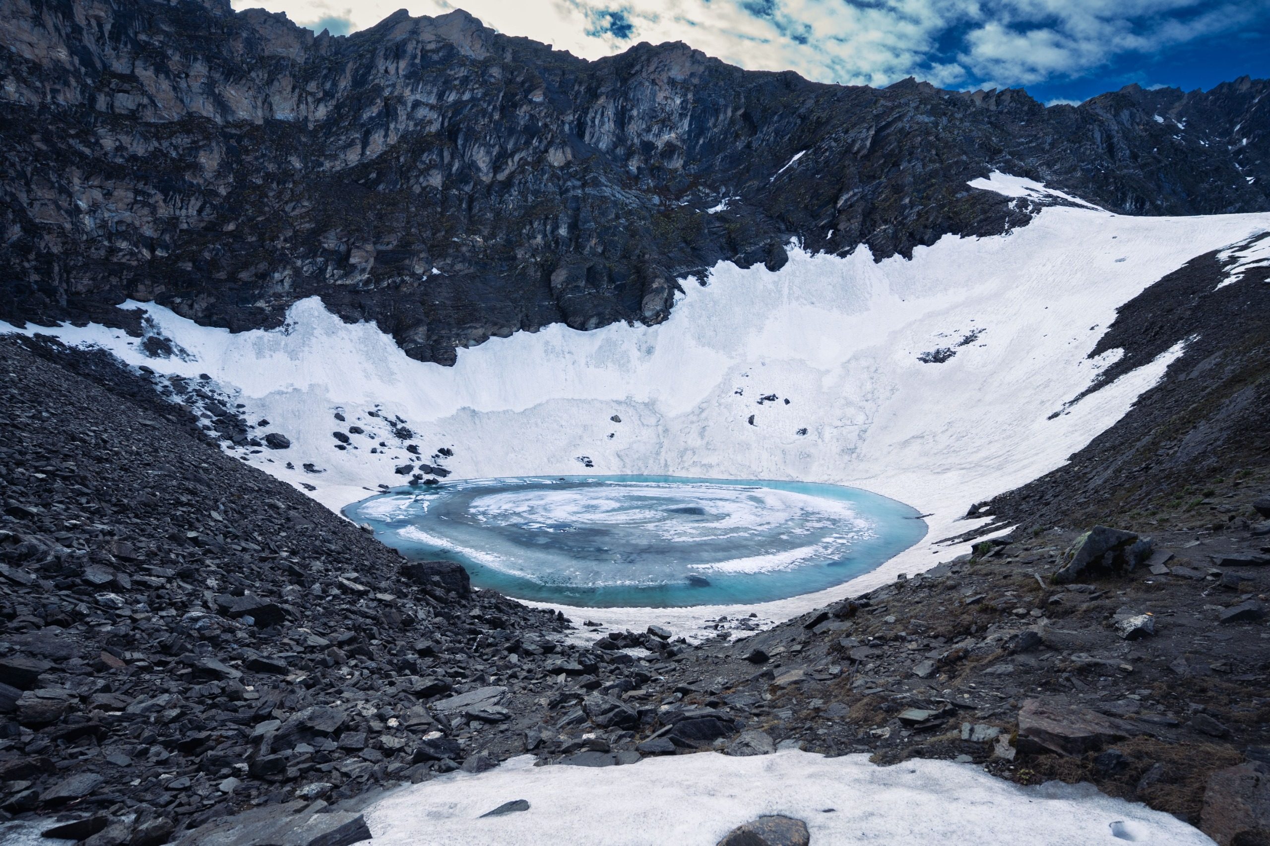
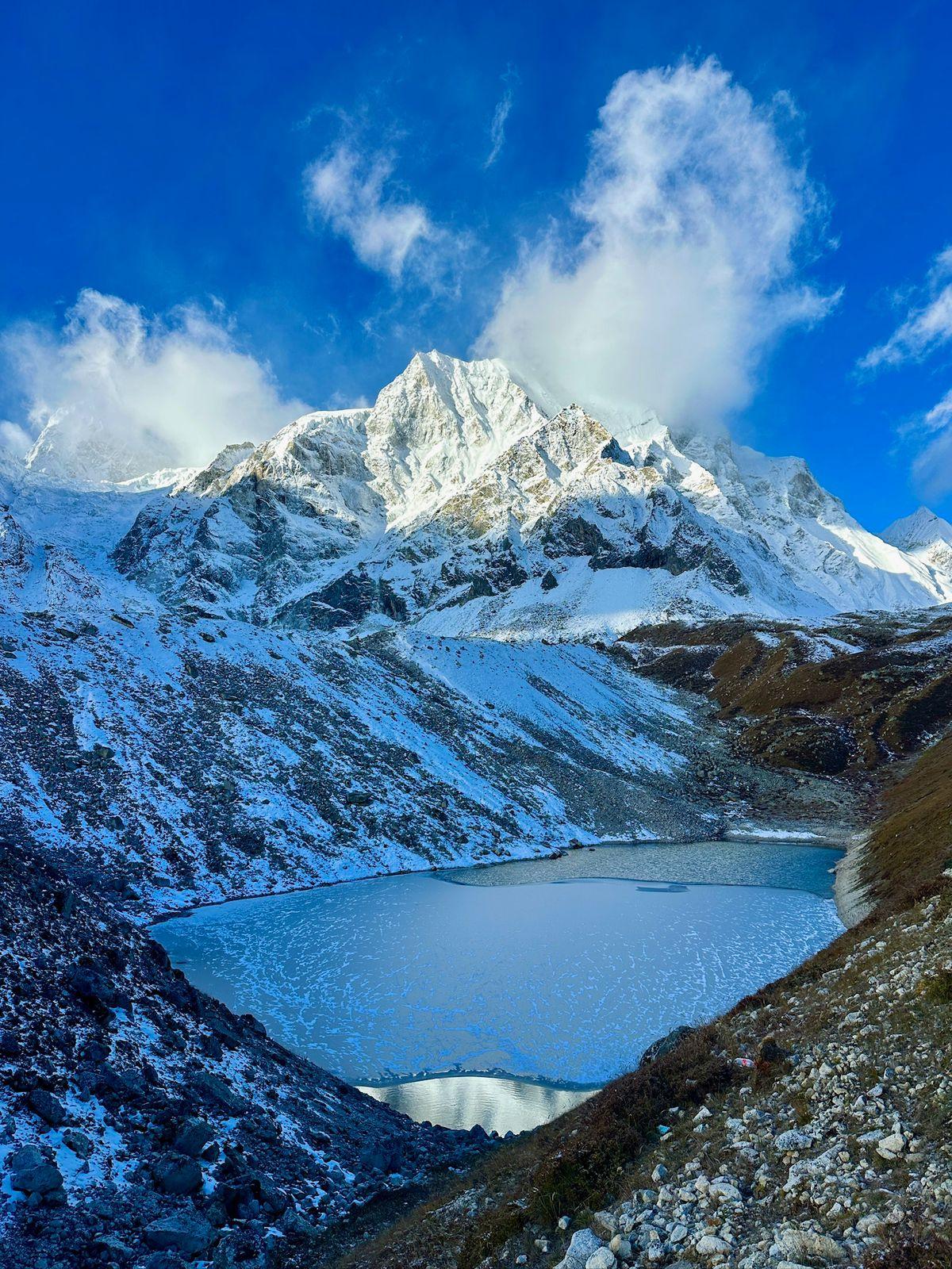
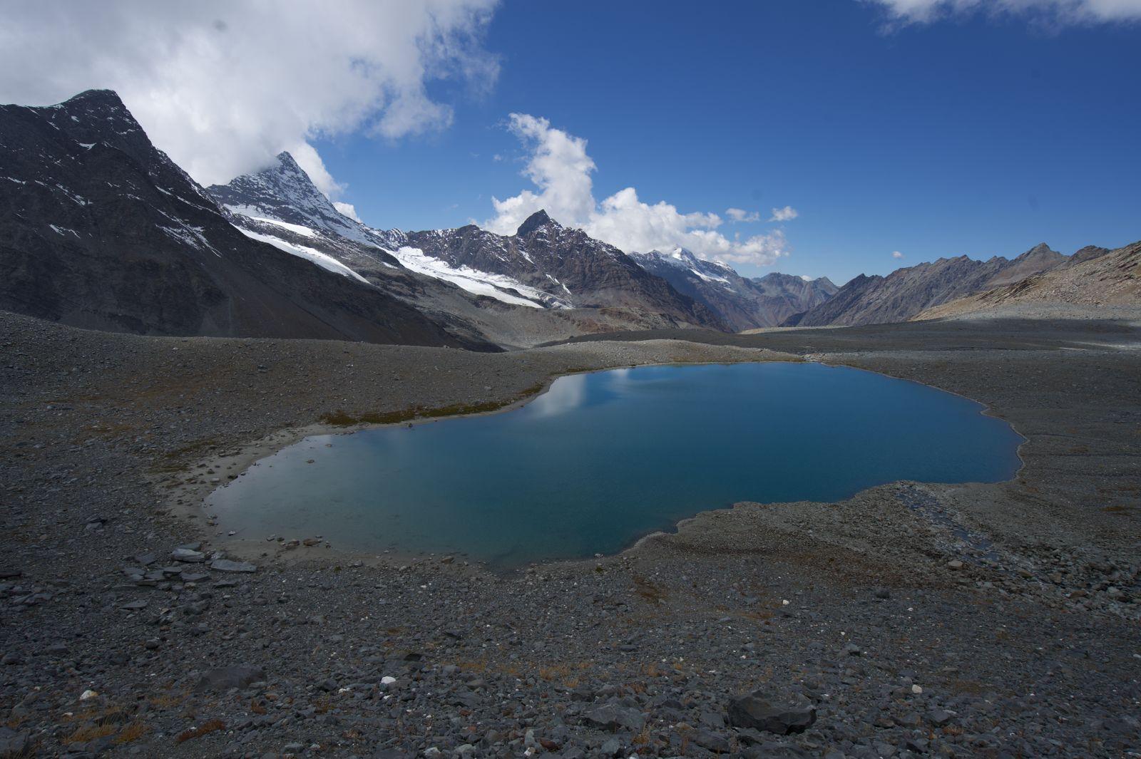
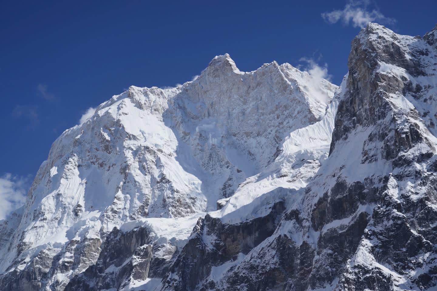
The trail is both physically demanding and spiritually humbling. Each step from Thansing to Lamuney is a slow ascent into solitude, where the landscape turns stark and snowbound. At dawn, when trekkers leave for the final push to Goecha La Pass (4,940 m), the horizon burns orange and pink as the first light touches the peak of Kanchenjunga — an experience that feels less like a view and more like a revelation. Nearby, the turquoise waters of Samiti Lake mirror the sky, adding a surreal calm before the final climb.
Culturally, the region is steeped in reverence. For locals, Kanchenjunga is not merely a mountain — it is a living deity, protector of Sikkim. Trekking here is as much a pilgrimage as an adventure; each campsite feels like a pause in an ancient rhythm that connects nature, belief, and endurance.
The Goecha La Trek stands as one of India’s most visually and spiritually rewarding journeys — where the mountains test your strength but also teach humility. It’s not just about reaching a viewpoint; it’s about earning a perspective — of scale, stillness, and belonging in the Himalayas.
Day 1
Arrival at Yuksom (5,840 ft)
Drive Distance – ~150 km
Time Taken – 6–7 hours
Elevation Profile – 400 ft to 5,840 ft
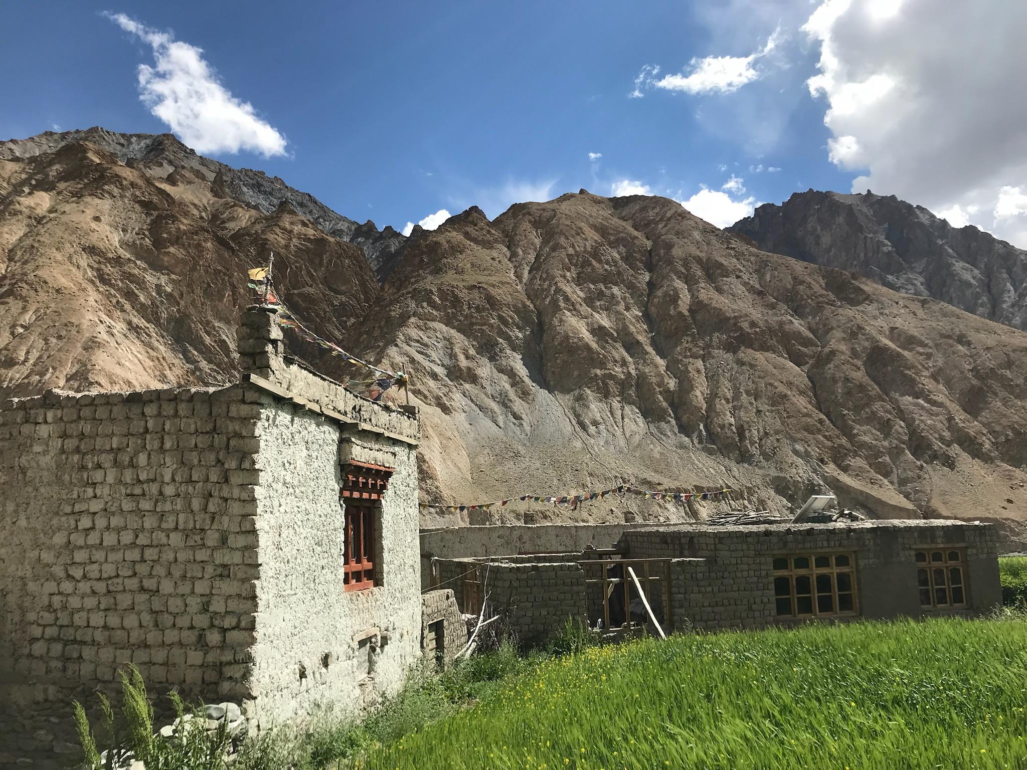
Your journey begins with a beautiful drive through Sikkim’s rolling valleys and forested slopes. The road climbs gradually from the plains to Yuksom, the historic first capital of Sikkim and the starting point of the trek. Lined with monasteries, fluttering prayer flags, and traditional Bhutia houses, Yuksom is steeped in mountain lore. Spend the evening acclimatizing and attending the trek briefing. Overnight stay in a local guesthouse.
Day 2
Yuksom to Sachen (7,200 ft)
Trek Distance – ~8 km
Time Taken – 5–6 hours
Elevation Profile – 5,840 ft to 7,200 ft
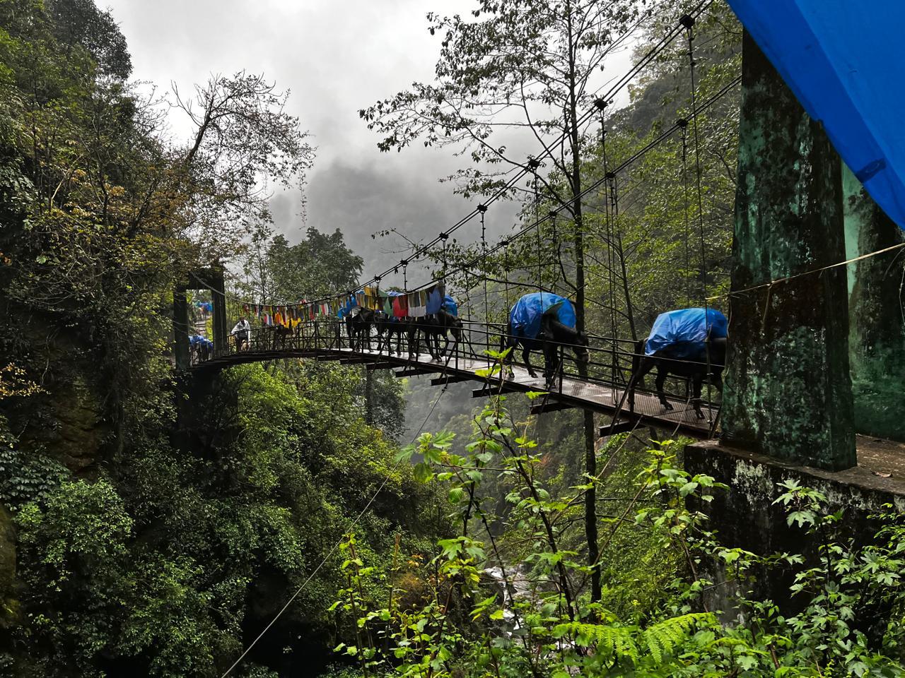
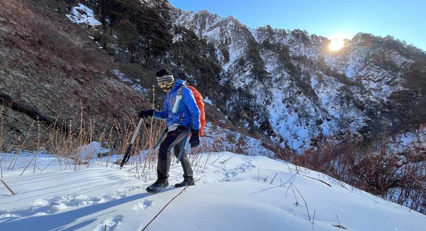
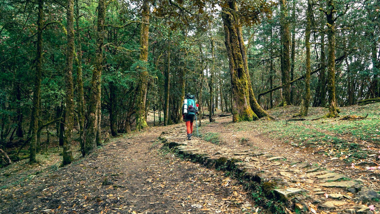
The trail begins through dense forests of oak, bamboo, and fern, following the Prek Chu River upstream. You’ll cross hanging bridges draped in prayer flags, listen to cicadas echo through the forest, and catch your first glimpse of distant peaks. Sachen is a small clearing deep in the forest — a tranquil campsite surrounded by towering trees and the steady hum of the river below.
Day 3
Sachen to Tshoka (9,700 ft)
Trek Distance – ~7 km
Time Taken – 6–7 hours
Elevation Profile – 7,200 ft to 9,700 ft
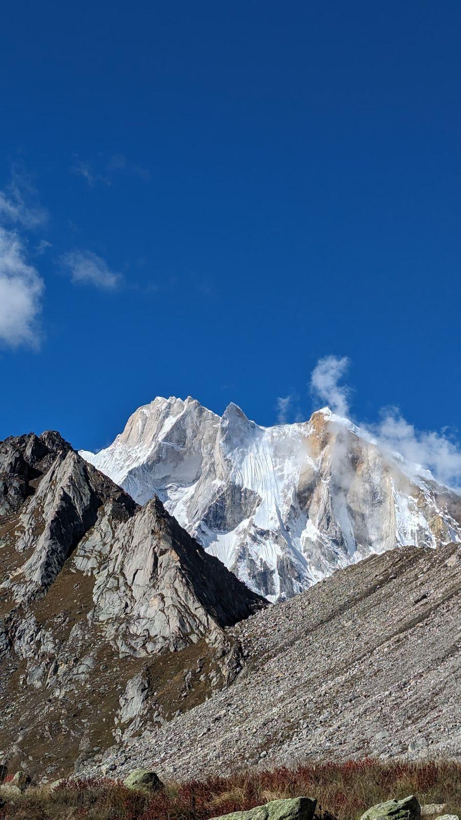
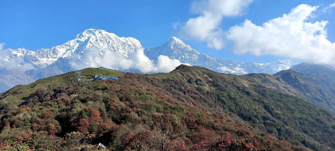
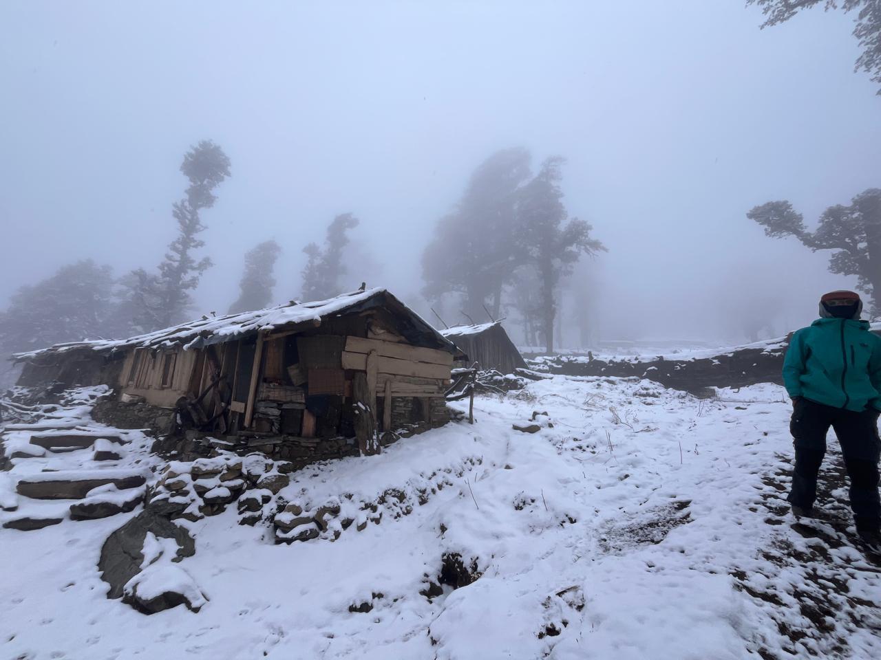
The climb steepens today. After crossing the Prek Chu Bridge, the trail ascends sharply through rhododendron and magnolia forests to Bakhim and then Tshoka — a small alpine settlement overlooking the peaks. Wooden houses, tiny monasteries, and prayer wheels mark your arrival. From here, you get your first clear view of Mt. Pandim, its snow-clad face glowing in the afternoon light.
Day 4
Tshoka to Dzongri (13,020 ft)
Trek Distance – ~9 km
Time Taken – 6–7 hours
Elevation Profile – 9,700 ft to 13,020 ft
The trail winds through one of the most beautiful sections of the trek. The path climbs steadily through vibrant rhododendron forests (in full bloom during April–May) and opens into alpine meadows near Phedang. As you approach Dzongri, the tree line falls away and the snow peaks emerge in full glory. Evening light paints the mountains in gold and crimson — a breathtaking welcome to the high Himalayas.
Day 5
Acclimatization at Dzongri (13,020 ft)
Hike Distance – ~3 km (optional)
Time Taken – 2–3 hours round trip
Elevation Profile – 13,020 ft to 13,700 ft (Dzongri Top)
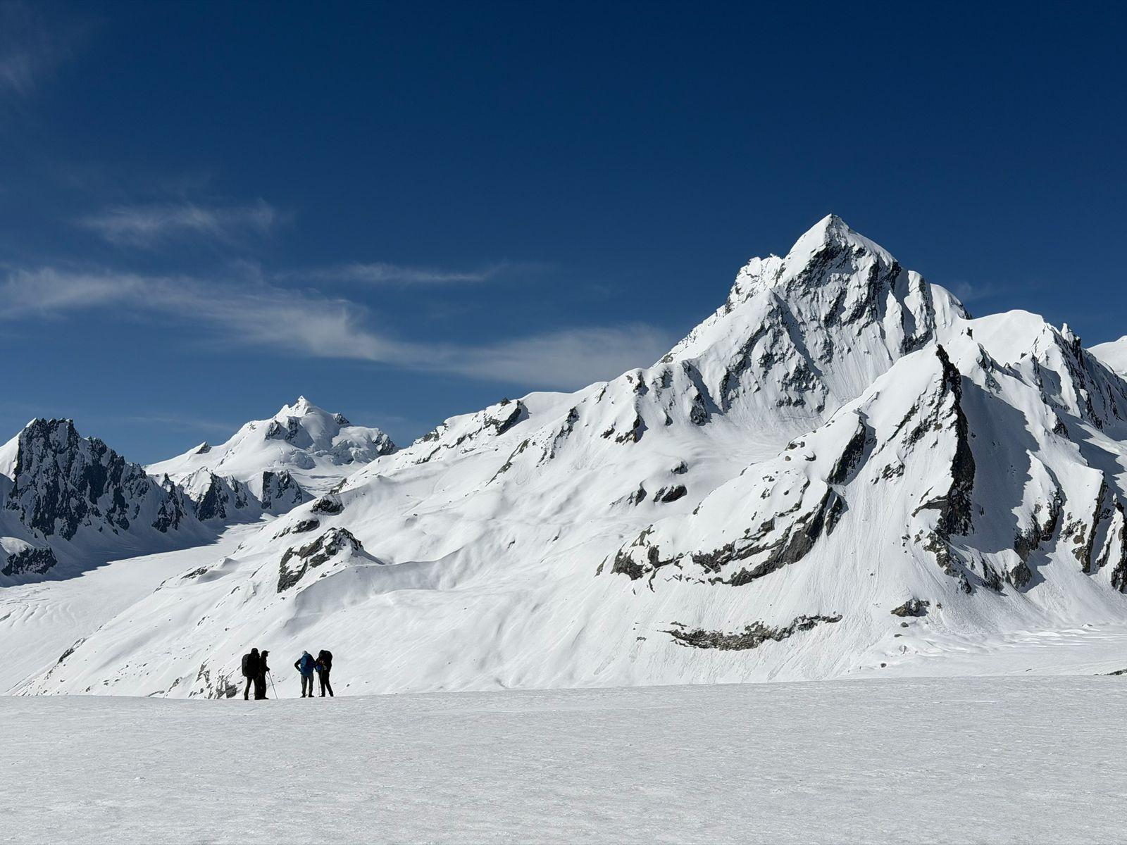
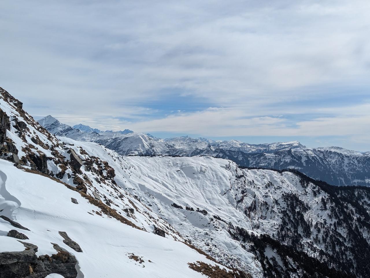
Rise before dawn for a short hike to Dzongri Top. From here, the entire Kanchenjunga Range stands before you — Pandim, Kabru, Rathong, and the mighty Kanchenjunga itself catching the first blush of sunrise. Spend the rest of the day resting, hydrating, and exploring the alpine meadows around camp. This acclimatization is vital before heading toward higher altitudes.
Day 6
Dzongri to Thansing (12,900 ft)
Trek Distance – ~9 km
Time Taken – 5–6 hours
Elevation Profile – 13,020 ft to 12,900 ft (minor descent and ascent)
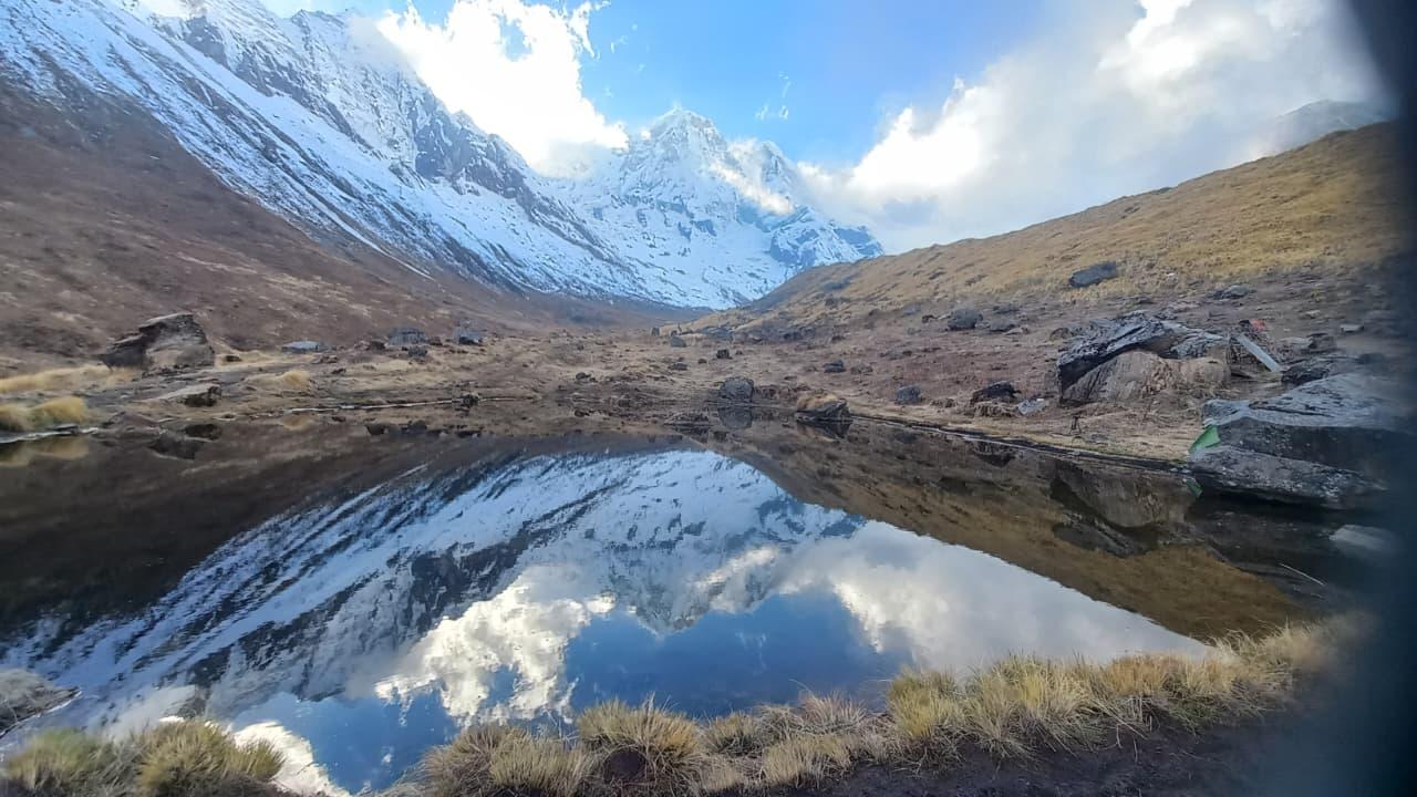
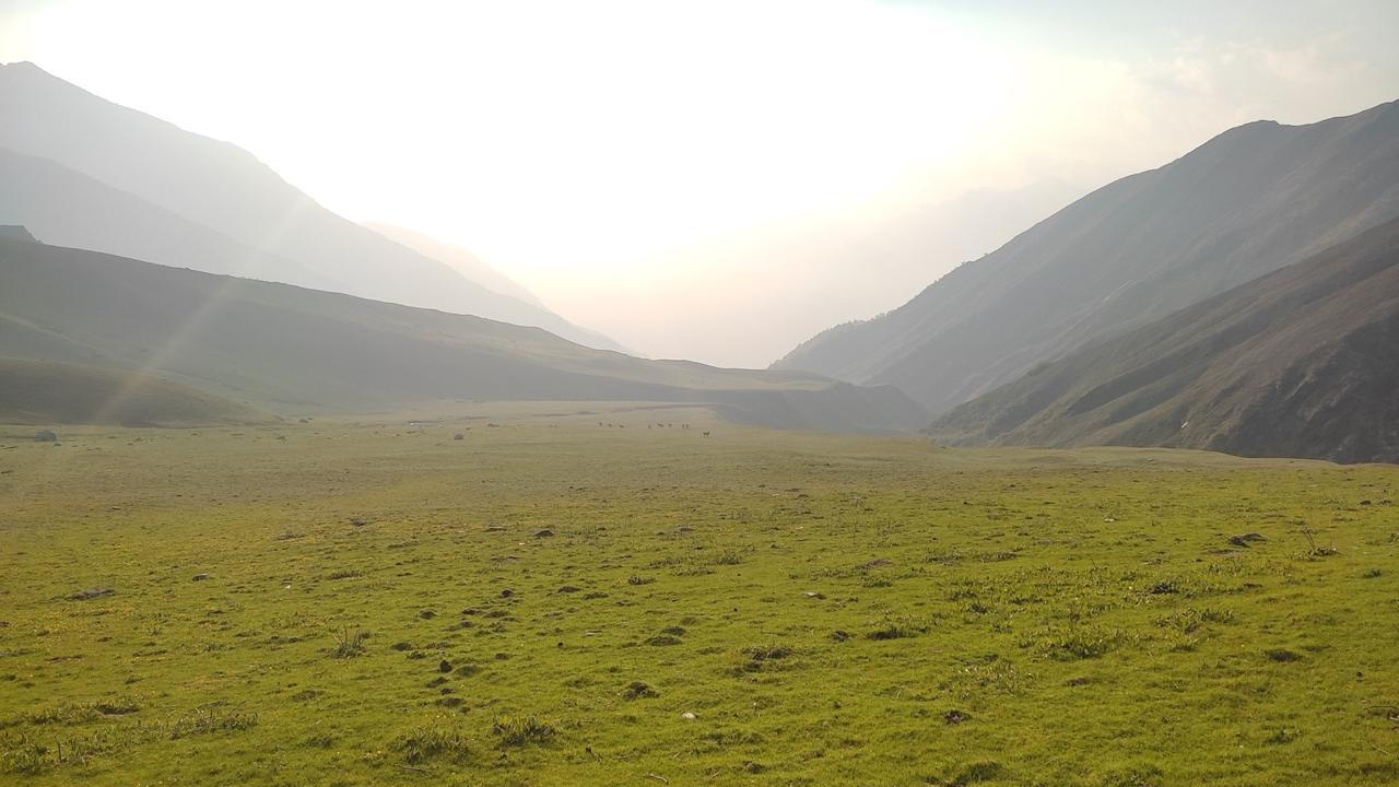
A beautiful traverse across rolling meadows and valleys. The trail descends toward the Prek Chu River, crosses a wooden bridge, and climbs gently to Thansing — a wide meadow nestled beneath Mount Pandim. The campsite here is serene and open, offering a grand view of the surrounding peaks.
Day 7
Thansing to Lamuney (13,700 ft)
Trek Distance – ~5 km
Time Taken – 3–4 hours
Elevation Profile – 12,900 ft to 13,700 ft
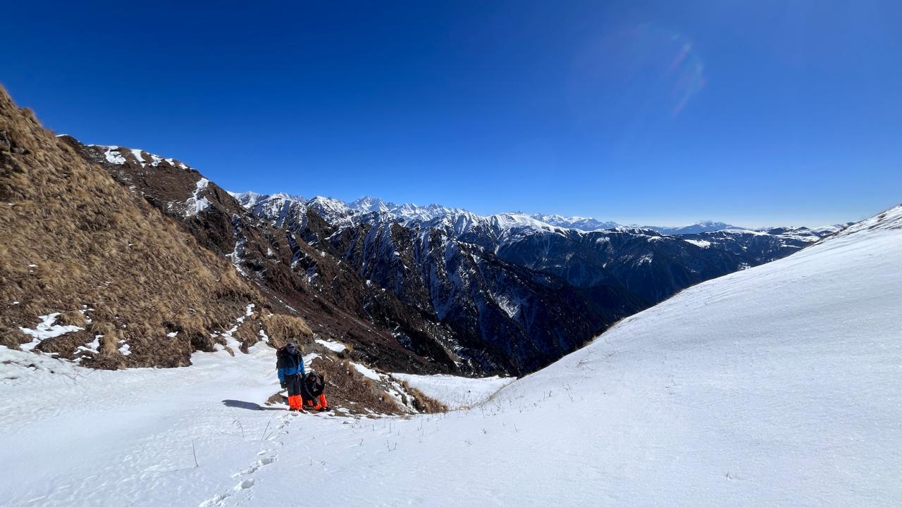
A short but high-altitude walk through glacial moraine and rocky terrain. The trail follows the river and gradually ascends toward Lamuney, the last campsite before Goecha La. The air thins and temperatures drop sharply, but the anticipation of the big day ahead keeps the spirits high. Early dinner and rest — tomorrow’s start is before dawn.
Day 8
To Viewpoint 1 and back to Thansing
Trek Distance – ~16 km (round trip)
Time Taken – 9–10 hours
Elevation Profile – 13,700 ft to 15,100 ft and return
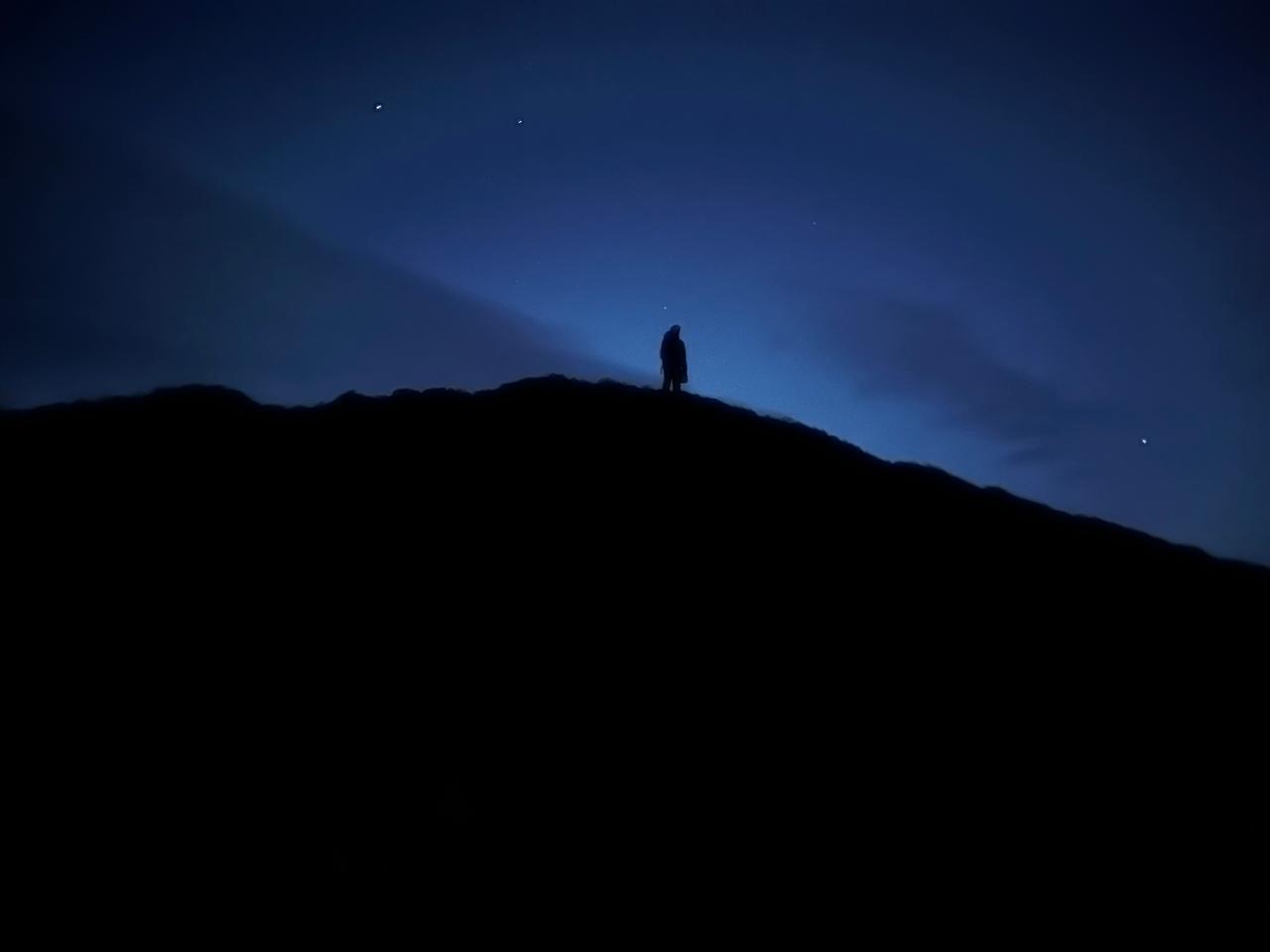
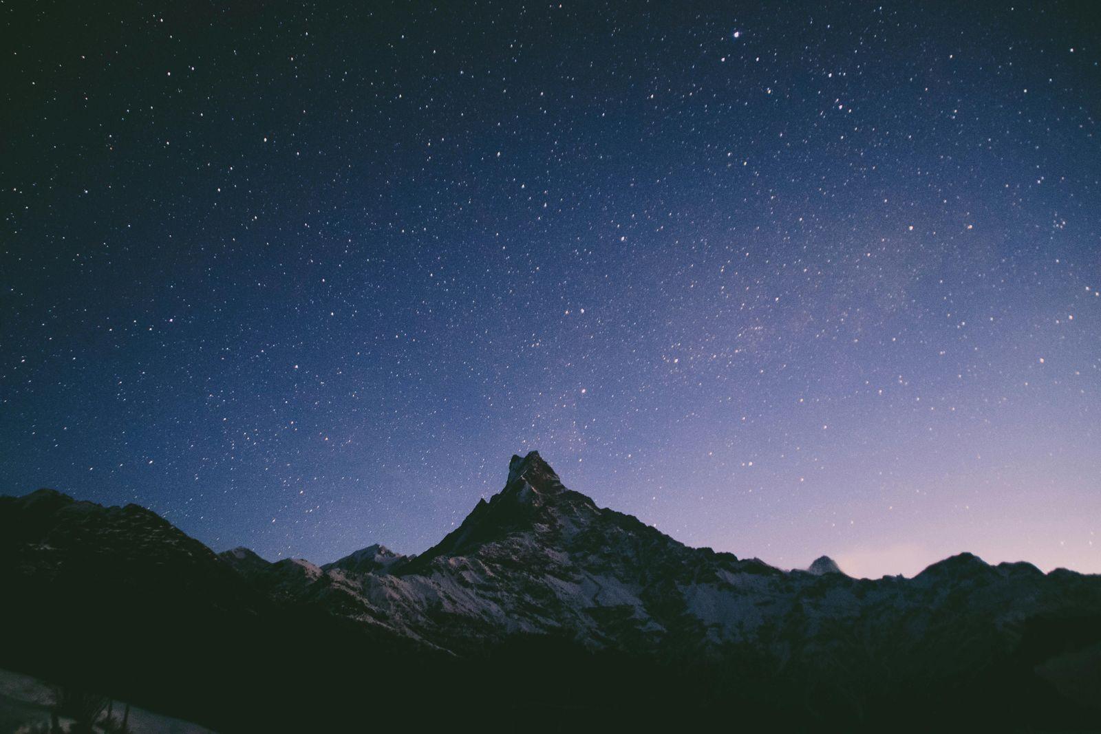
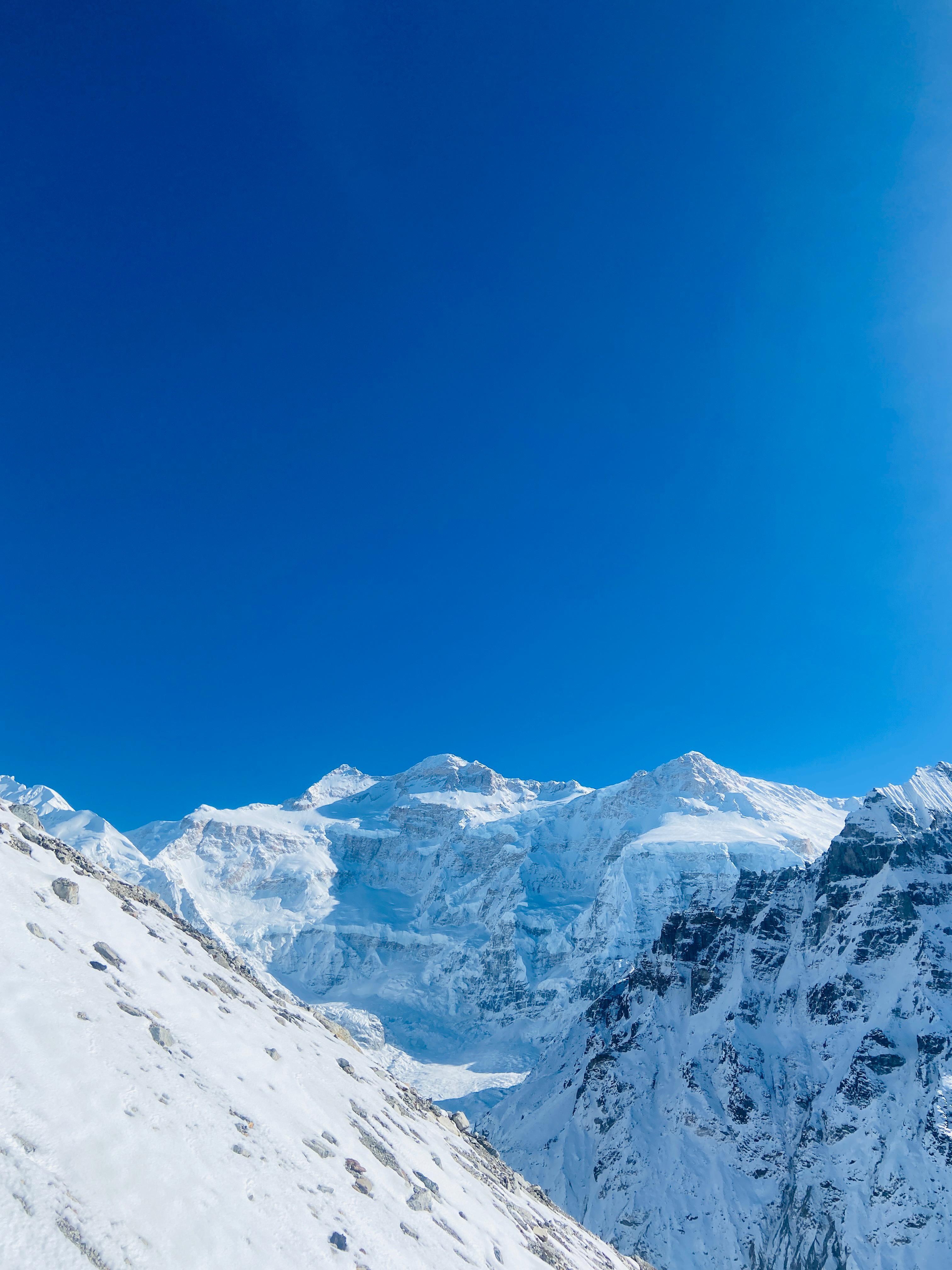
A predawn start under a star-filled sky. The route climbs gradually to Samiti Lake, its glass-still waters reflecting the snowy peaks. As dawn breaks, Kanchenjunga catches the first golden light — one of the most unforgettable Himalayan sights. Continue on a steep ascent to Goecha La Viewpoint 1 (15,700 ft) for a commanding view of the Kanchenjunga massif. After spending time at the viewpoint, retrace your path via Lamuney to Thansing.
Day 9
Thansing to Tshoka (9,700 ft)
Trek Distance – ~16 km
Time Taken – 6–7 hours
Elevation Profile – 12,900 ft to 9,700 ft
The descent brings warmth and oxygen back into your lungs. Retrace your steps through Dzongri and Phedang, with one last sweeping look at the high peaks. By evening, reach Tshoka, where laughter, hot food, and memories of the summit day fill the camp.
Day 10
Tshoka to Yuksom (5,840 ft)
Trek Distance – ~14 km
Time Taken – 5–6 hours
Elevation Profile – 9,700 ft to 5,840 ft
Descend through rhododendron forests and across wooden bridges, following the familiar sound of the Prek Chu. As you reach Yuksom, the trek comes full circle. Celebrate the completion of one of India’s most scenic and culturally rich Himalayan journeys. Overnight stay in a guesthouse before departure the next day.
Fitness Required
- Participants should be able to run continuously at least for 120 minutes at a Zone 2 pace.
- Must have a prior high-altitude trek experience.
- Must be regular with strength and cardio routine.
Our Expectation from Participants
- No major medical history or injuries 2 months before the trek.
- Minimum of 3 months consistent fitness regime.
- Thorough medical check from an MBBS doctor and medical clearance certificate to be submitted.
- Good quality trekking gears (Jackets, shoes, Rucksack etc)
Disclaimer
This is a remote and challenging expedition with inherent risks. By joining this trek, you acknowledge and accept the following:
- Itinerary is Subject to Change: The trek is highly dependent on weather and trail conditions. The trek leader’s decision on any itinerary changes, including fording rivers or route alterations, will be final in the interest of safety.
- Medical Responsibility: While Odyssey provides a trained trek leader and a medical kit, you are responsible for your own health. Any pre-existing medical conditions must be disclosed prior to the trek.
- Altitude Sickness Risk: This is a high-altitude trek going above 15,000 feet, and there is an inherent risk of Acute Mountain Sickness (AMS). Acclimatization is a slow process, and there is no guarantee of reaching the summit.
- No Retreat: Due to the point-to-point nature of the trek, there are no easy exit points once you begin. Any evacuation from the trail would be complex and time-consuming.
Inclusion
Exclusion
What is the difficulty level, and do I need prior high-altitude experience?
What is the best season to do the Goecha La Trek?
What are the real key challenges to watch out for?
2. Long walking days: Steady distance every day.
3. Weather variability: cold nights, snow/ice possible especially late season.
4. Continuous steep climb and high elevation gain per km
What kind of accommodation and support will I get?
We run small groups (max 15 people) to ensure safety and comfort. Our trek leaders are WFR certified and have led multiple Himalayan expeditions, you’re in experienced hands.
Who is this trek appropriate for? And who should skip it?
Should skip if: You’re completely new to trekking, have health issues with altitude, want luxury every night, or want a very relaxed pace. The trek demands discipline and good fitness.
Where does the trek start and how do I reach there?
We arrange transportation from Bagdogra Airport or NJP Railway Station to Yuksom and back after the trek. The drive takes around 6–7 hours through scenic valleys and Teesta riverside roads, a solid start to the adventure.
What is the route and where do we go?
From View Point 1, you get a direct front-row view of Mt Kanchenjunga (8,586 m), along with Pandim and other giants. Due to park restrictions, trekkers can’t go all the way to the pass (Goecha La) anymore, but View Point 1 is the heart of the experience.
What is the weather like and how should I layer up?
Here’s your ideal layering system:
Base: Thermal top & bottom
Mid: Fleece or light puffer
Insulation: Down jacket (essential for summit night)
Shell: Waterproof outer shell (rain/windproof)
During summit push (around 12 a.m.), temperatures can drop to -5°C, so layer smart and keep your gloves and beanie handy.
Is there mobile network or electricity on the trail?
How cold is it at night?
The summit night is the coldest and longest and you start around midnight and reach the viewpoint by sunrise. It’s demanding but worth every step.
SELECT DATE TO REGISTER


Thank You!
Your form has been submitted successfully. We'll get back to you soon.
₹ 27,499 + 5% GST