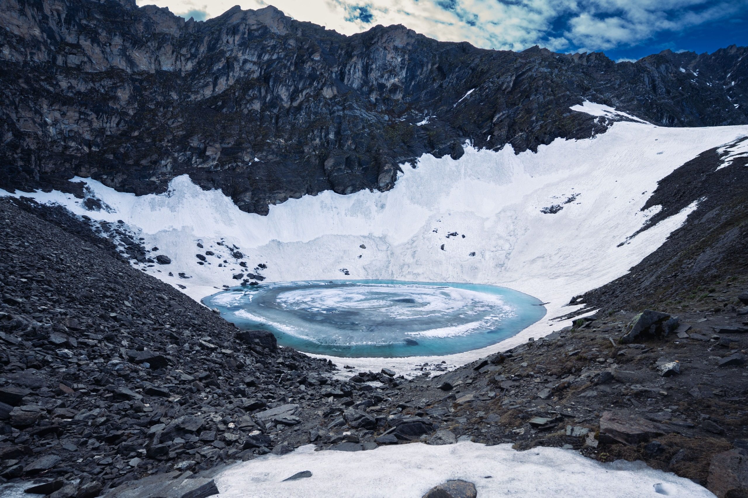
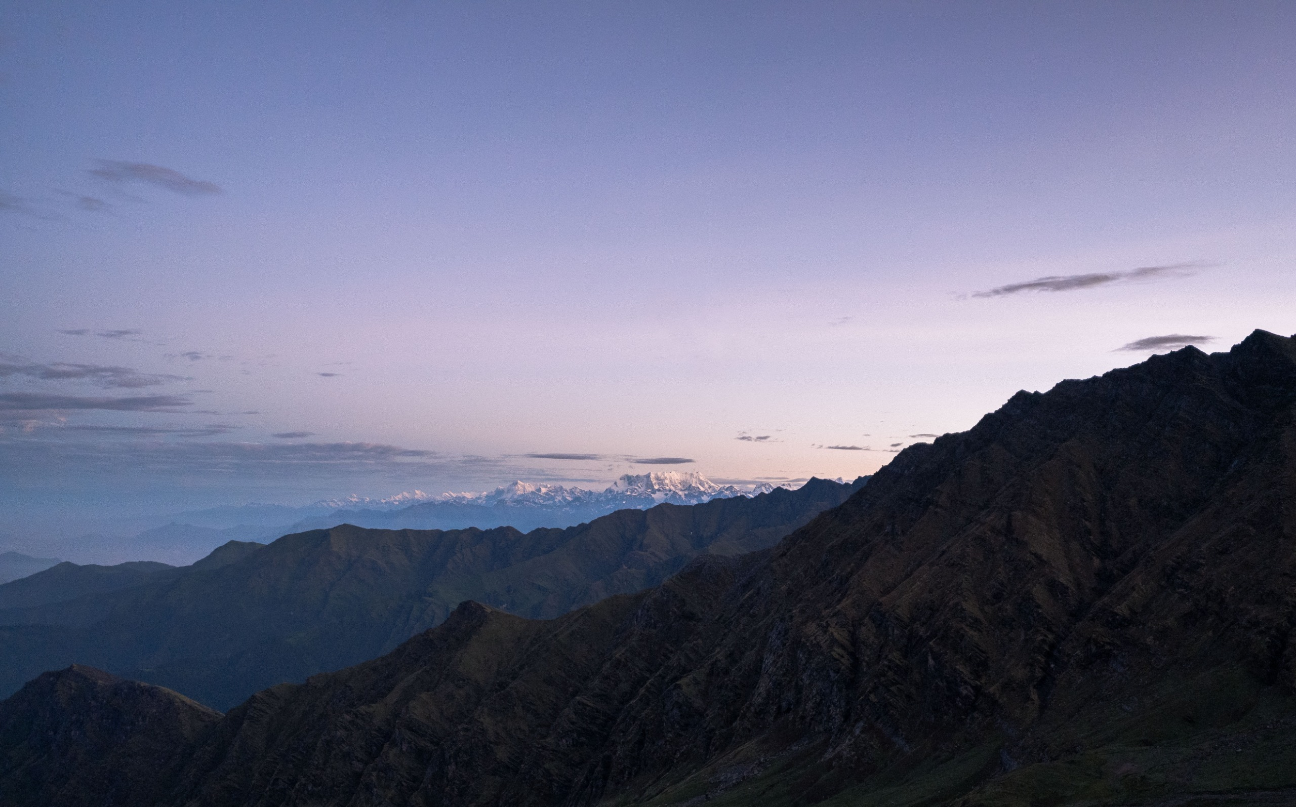
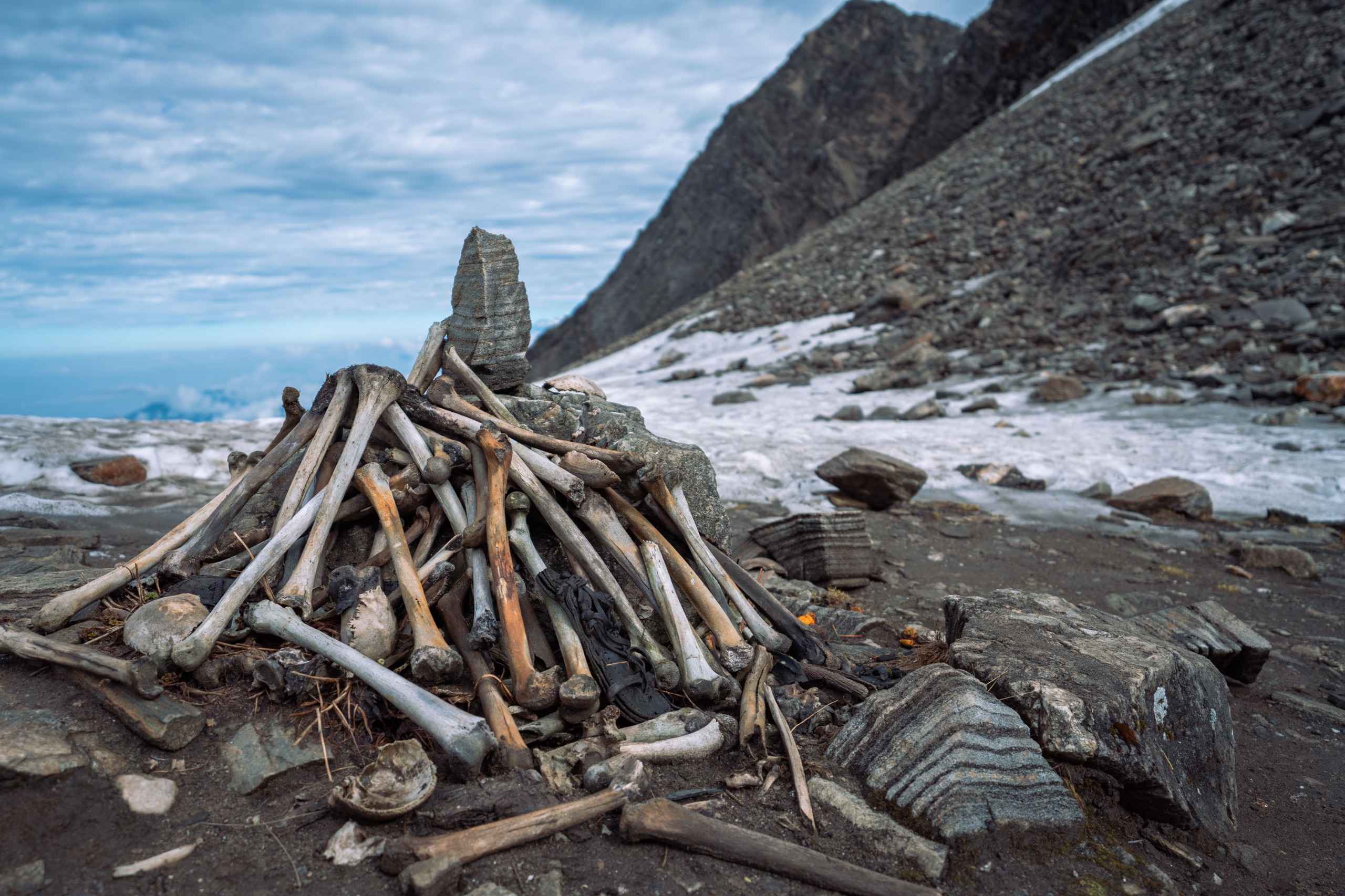


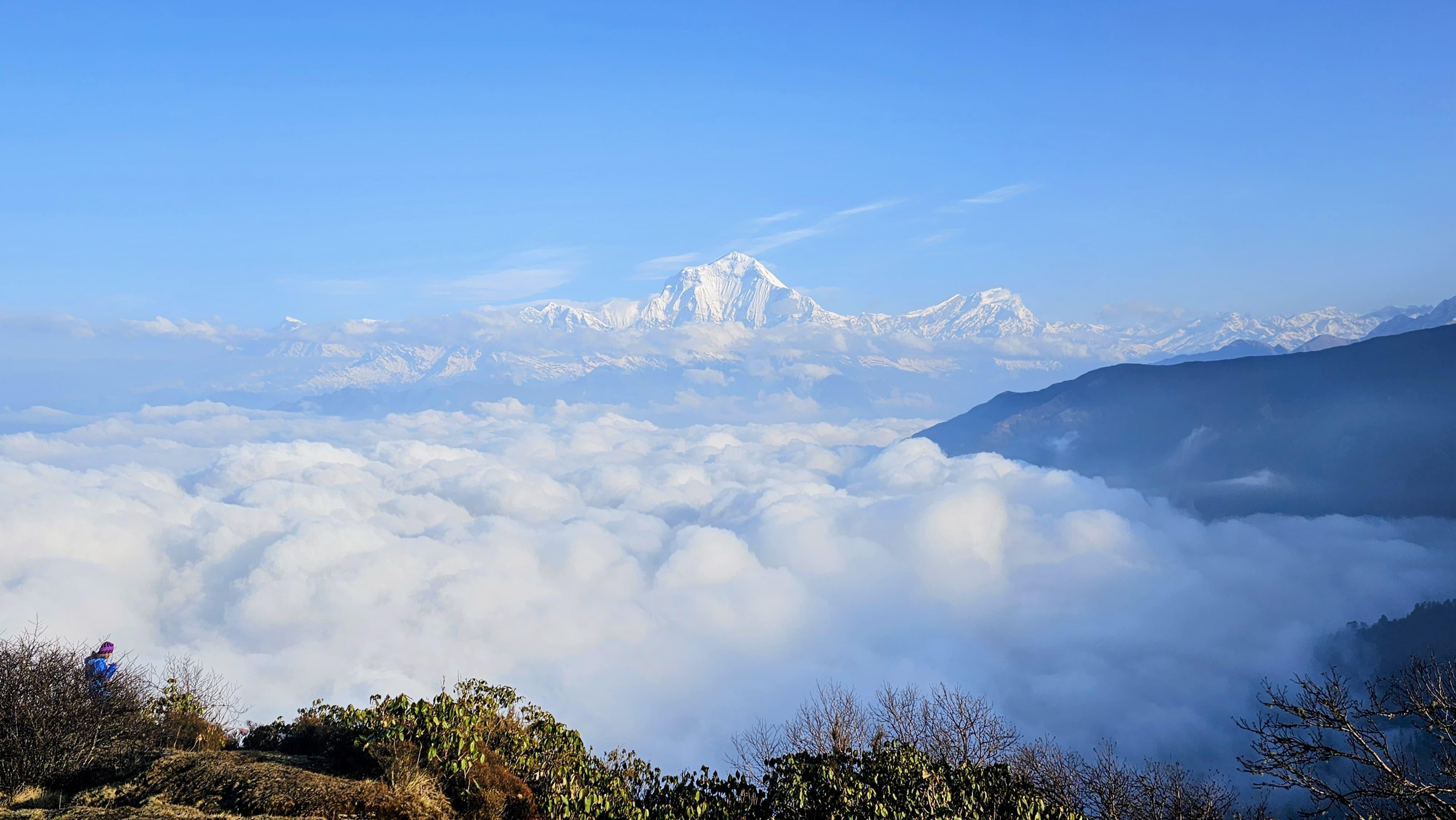
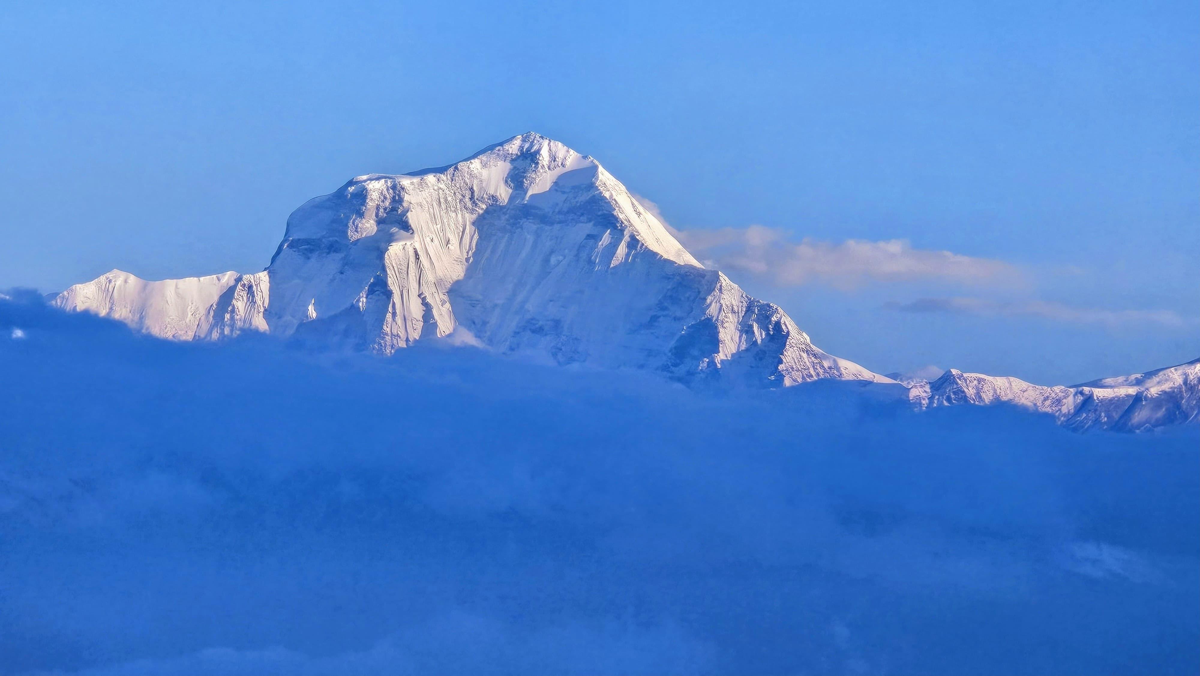
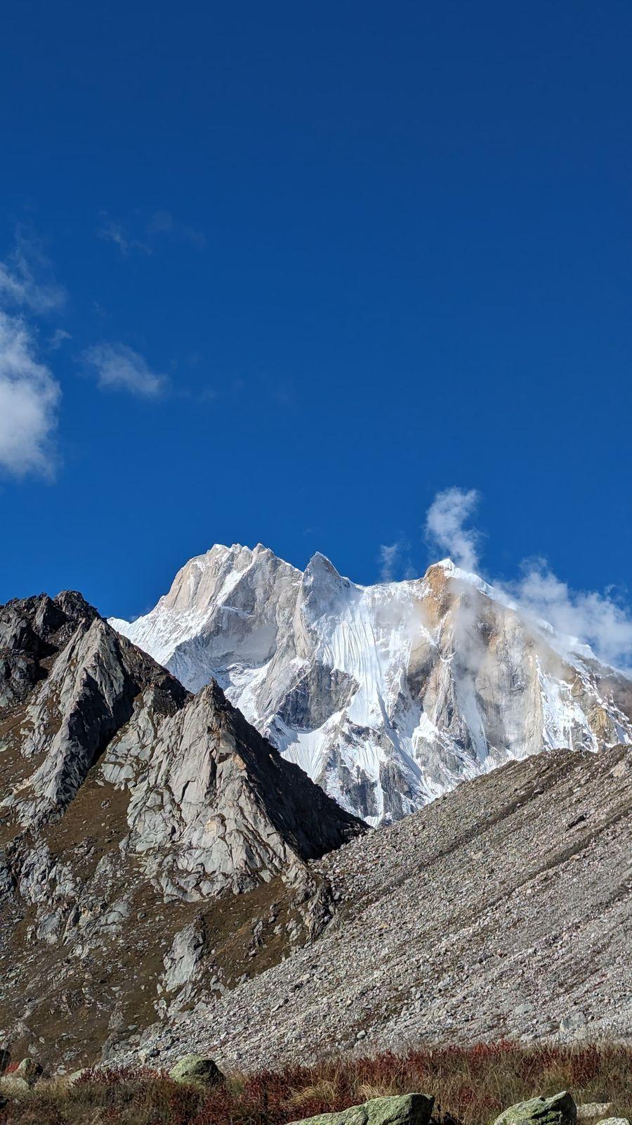
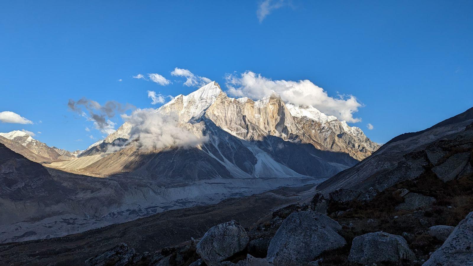
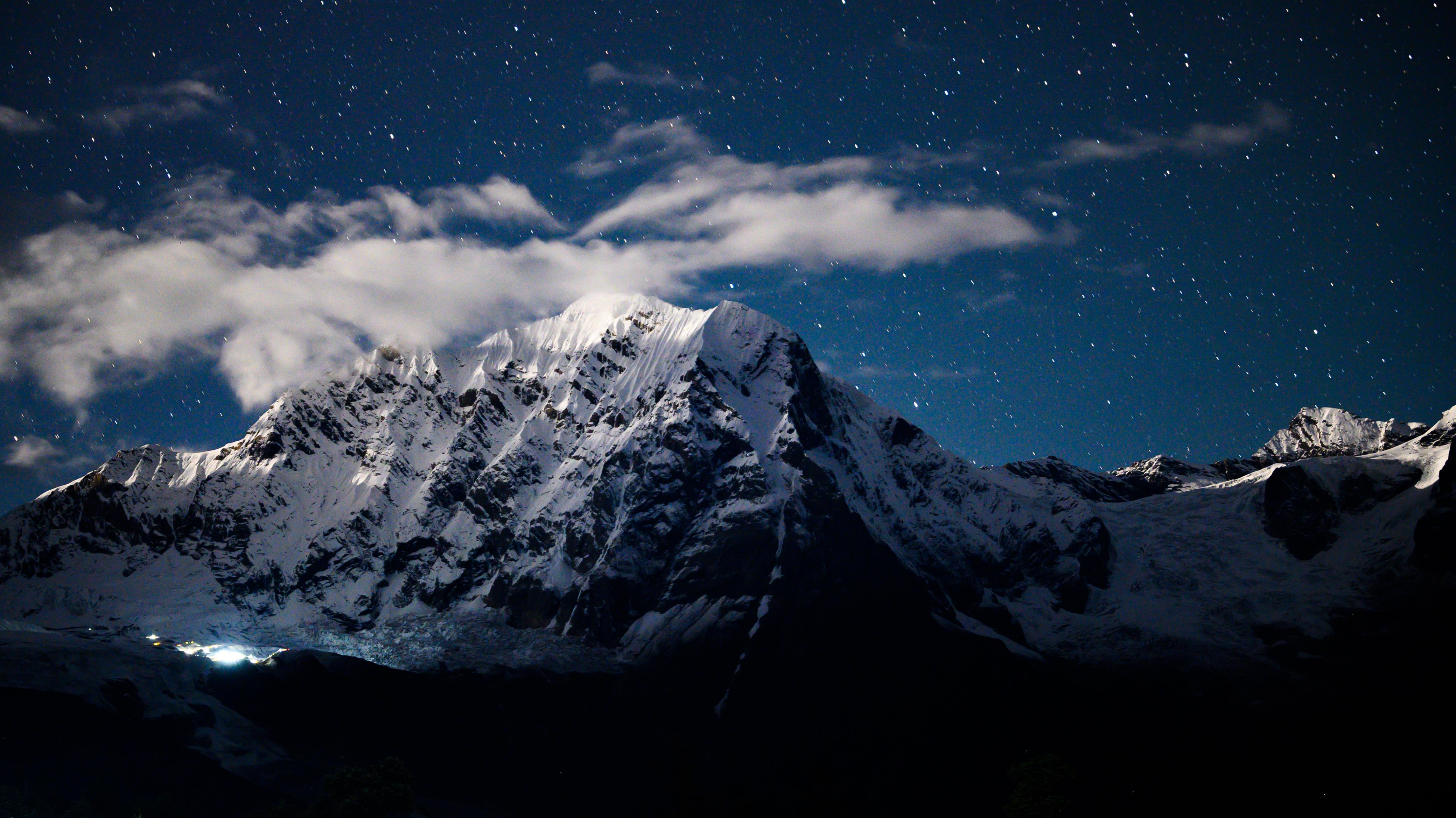
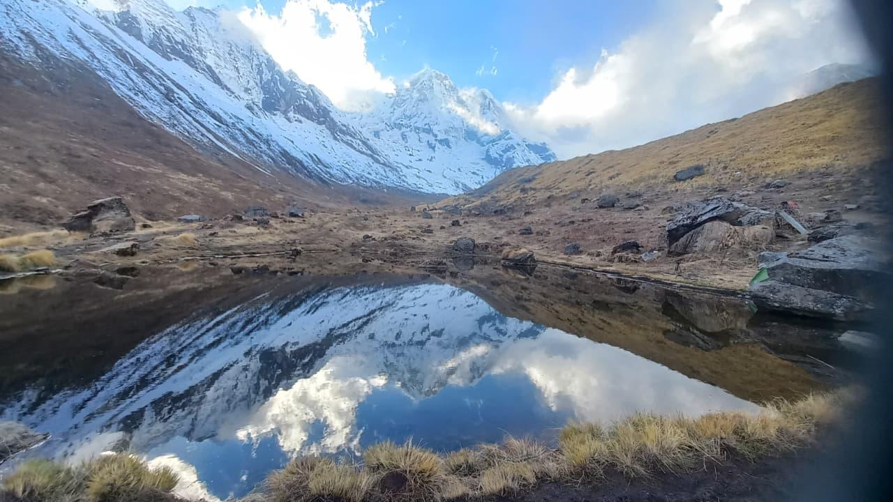
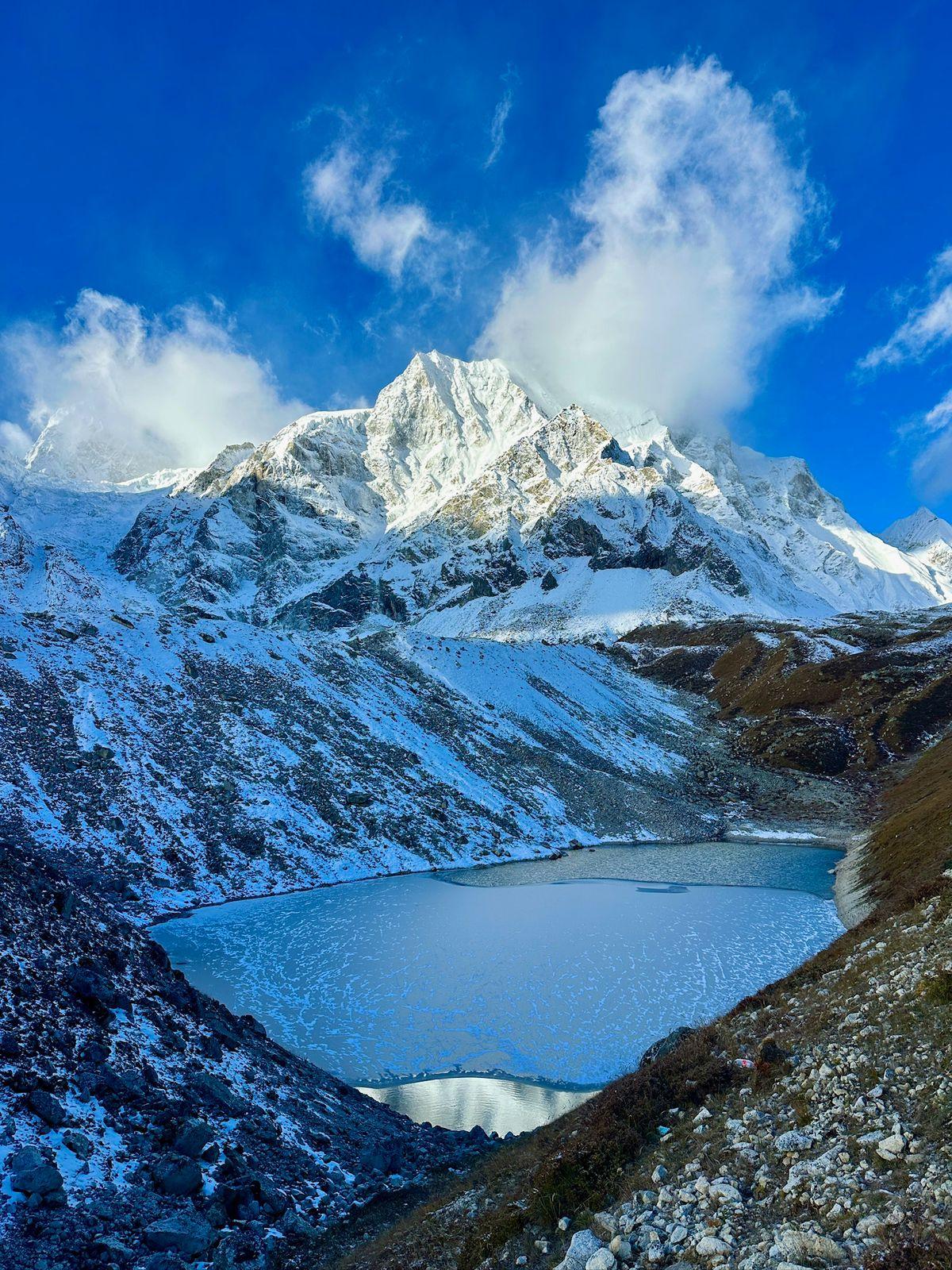
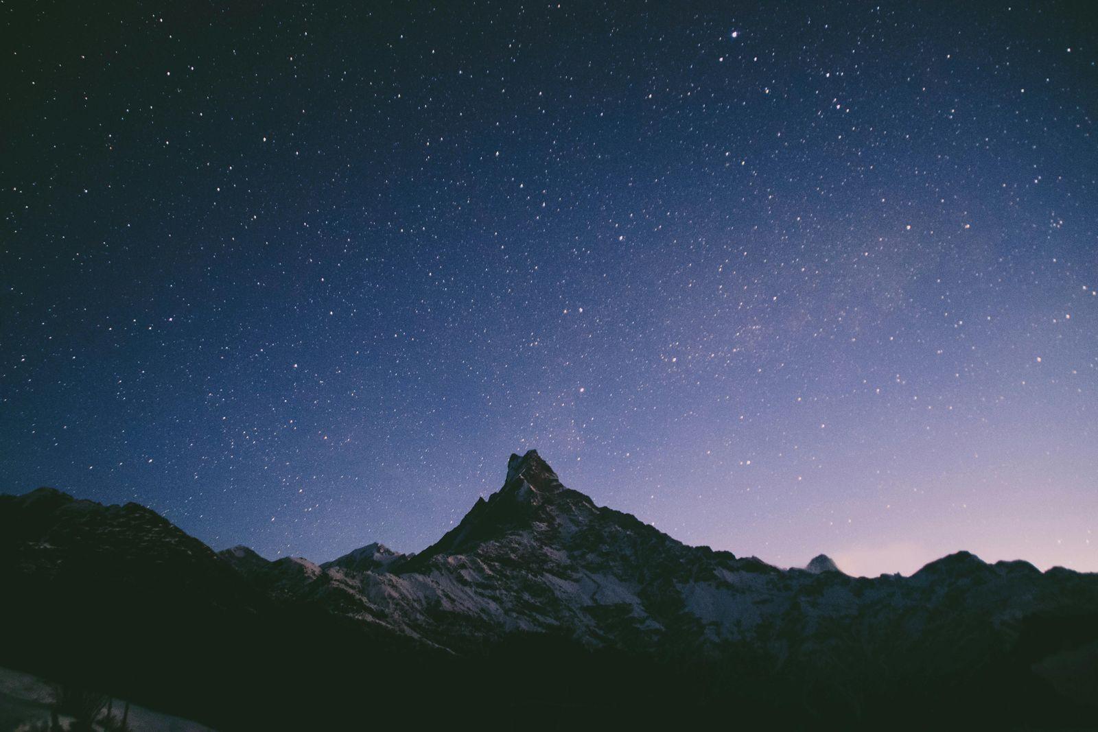
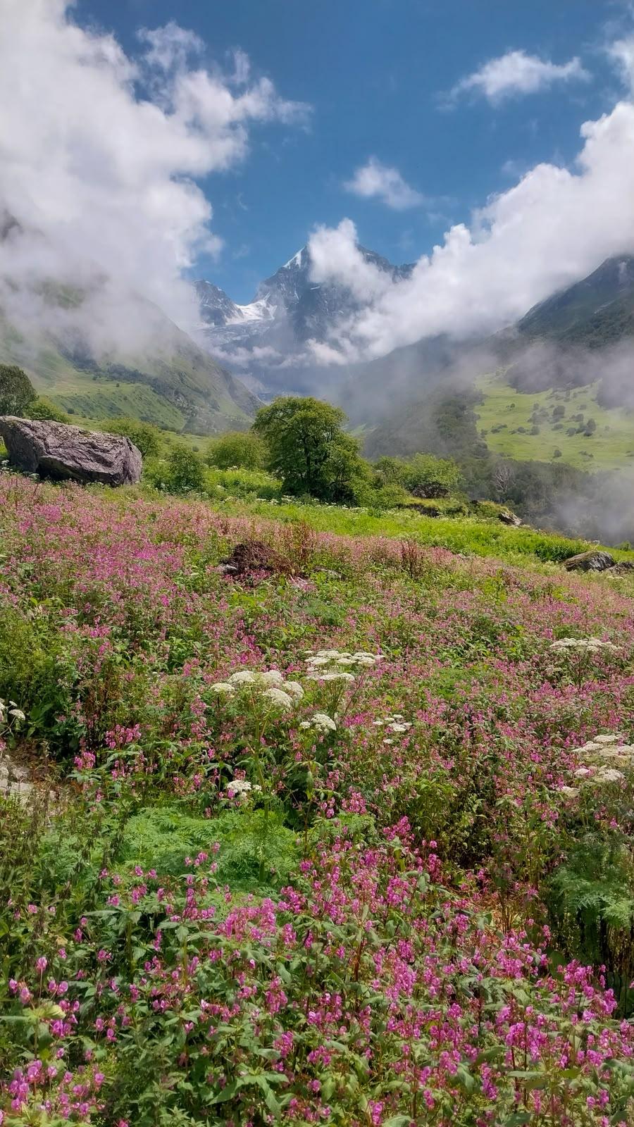
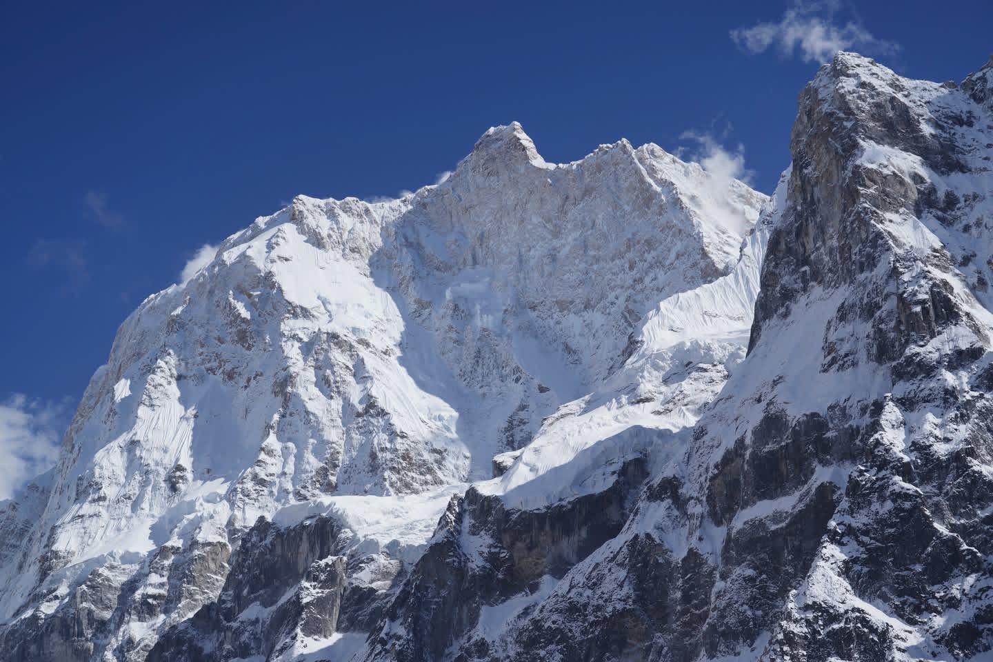
Roopkund is one of the most thrilling high-altitude treks in India, famous for its glacial lake located at 15,750 ft that holds centuries-old skeletal remains. Set against the dramatic backdrop of Mt. Trishul and Nanda Ghunti, Roopkund is as much a trek into raw alpine wilderness as it is a walk through myths, legends, and ancient Himalayan culture.
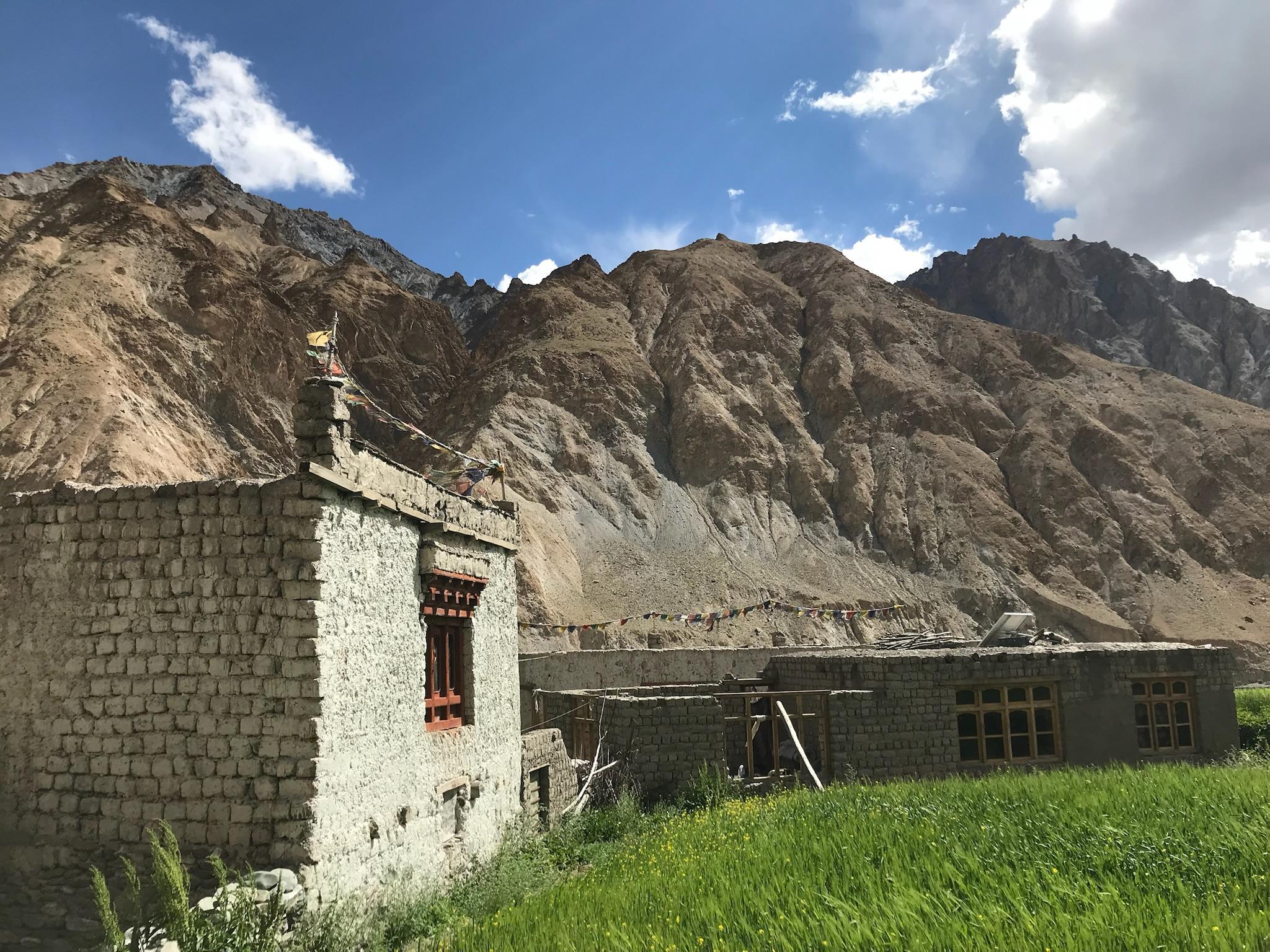
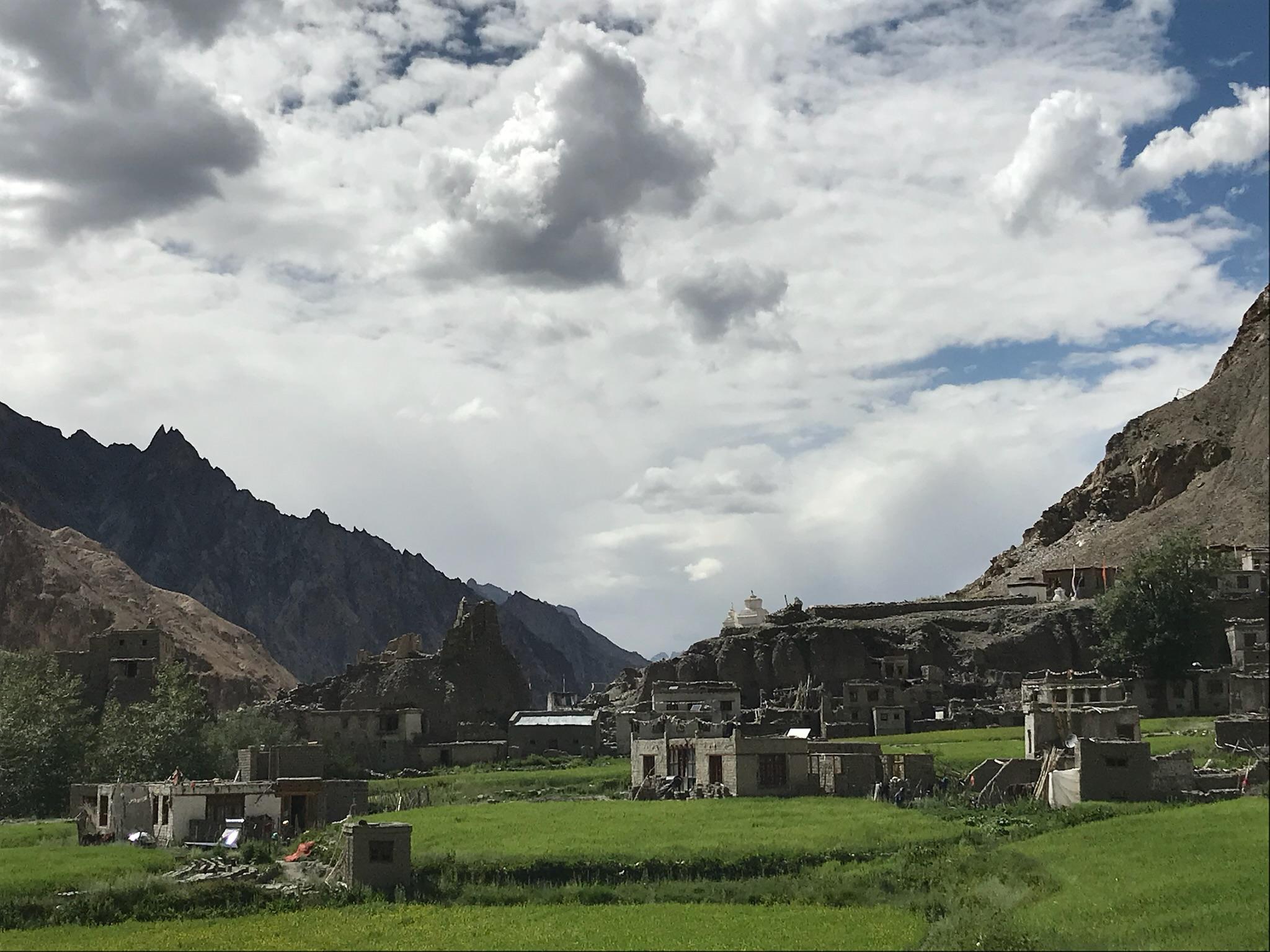
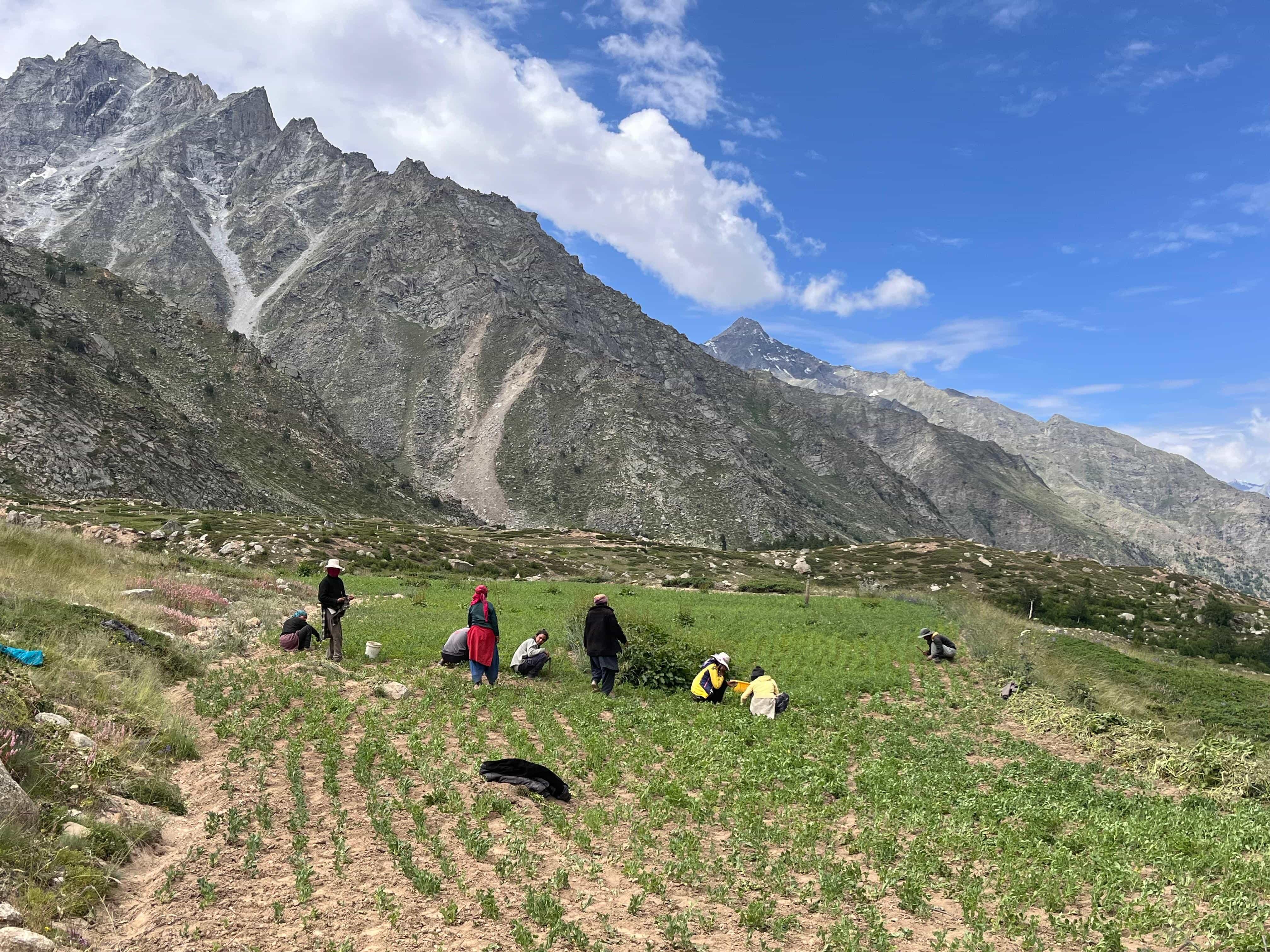
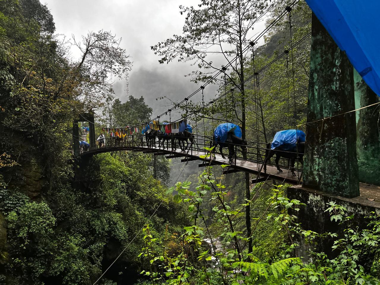
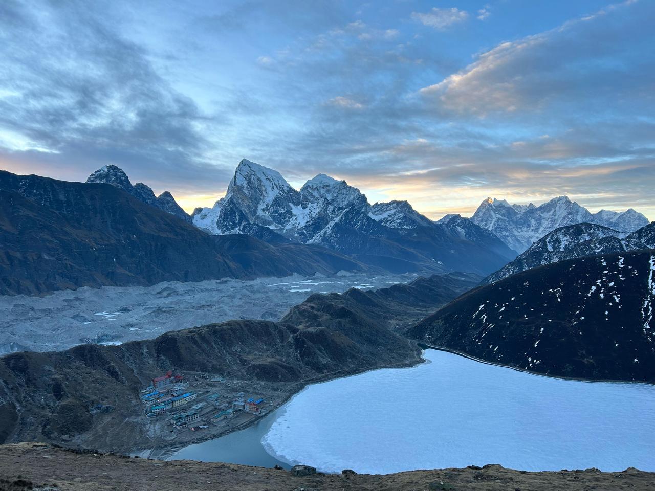
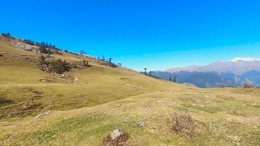
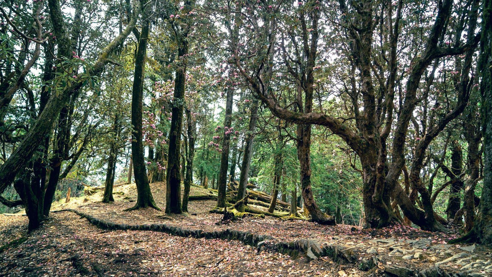
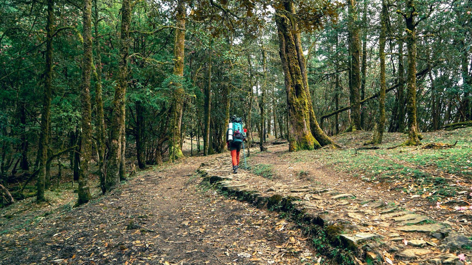
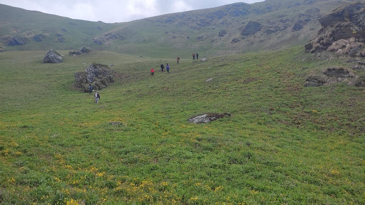
The trail begins in the village of Lohajung, nestled deep in the Garhwal Himalayas. It climbs steadily through dark oak forests and sunlit rhododendron groves, past sacred rivers and ancient temples. By Day 3, the trek enters the alpine meadows of Ali and Bedni Bugyal, which are some of the most breathtaking grasslands in all of India. Here, myths of Goddess Nanda Devi merge with the pastoral lives of shepherds and the ritual rhythms of mountain life.
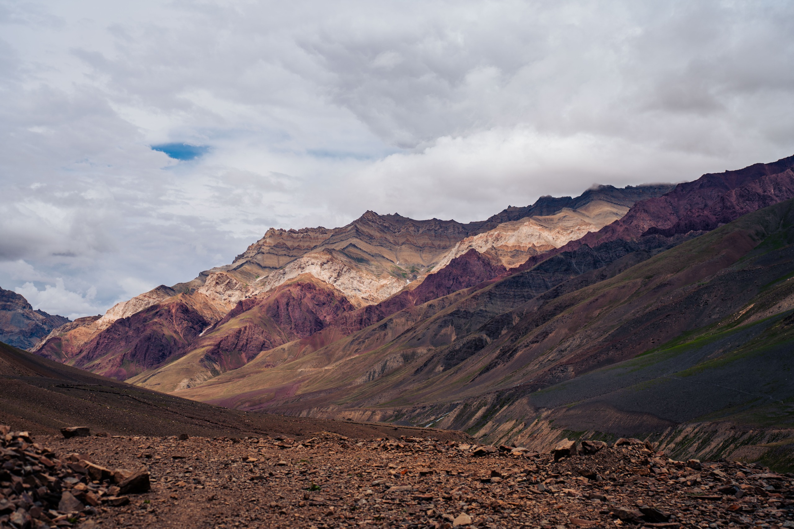
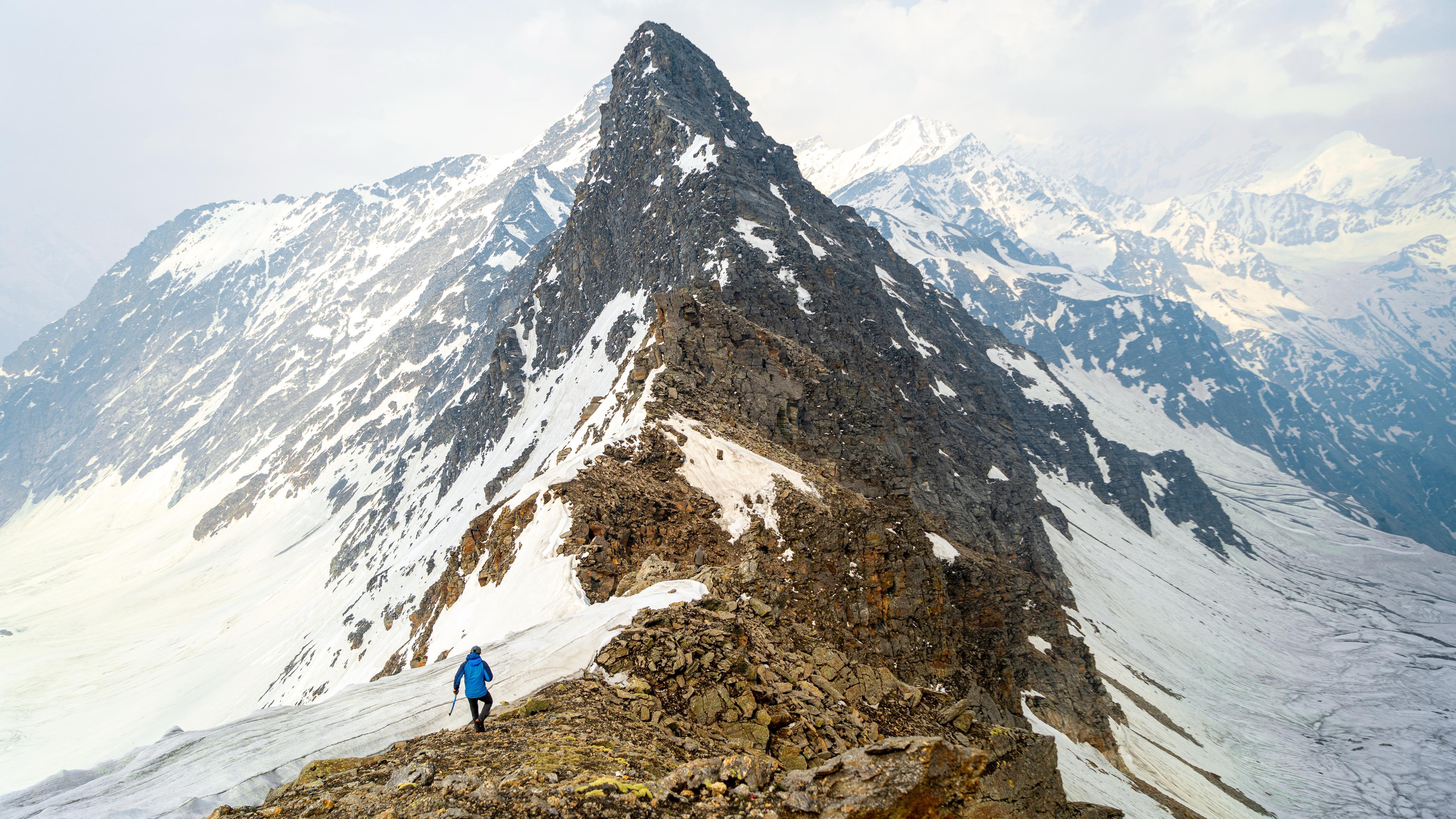
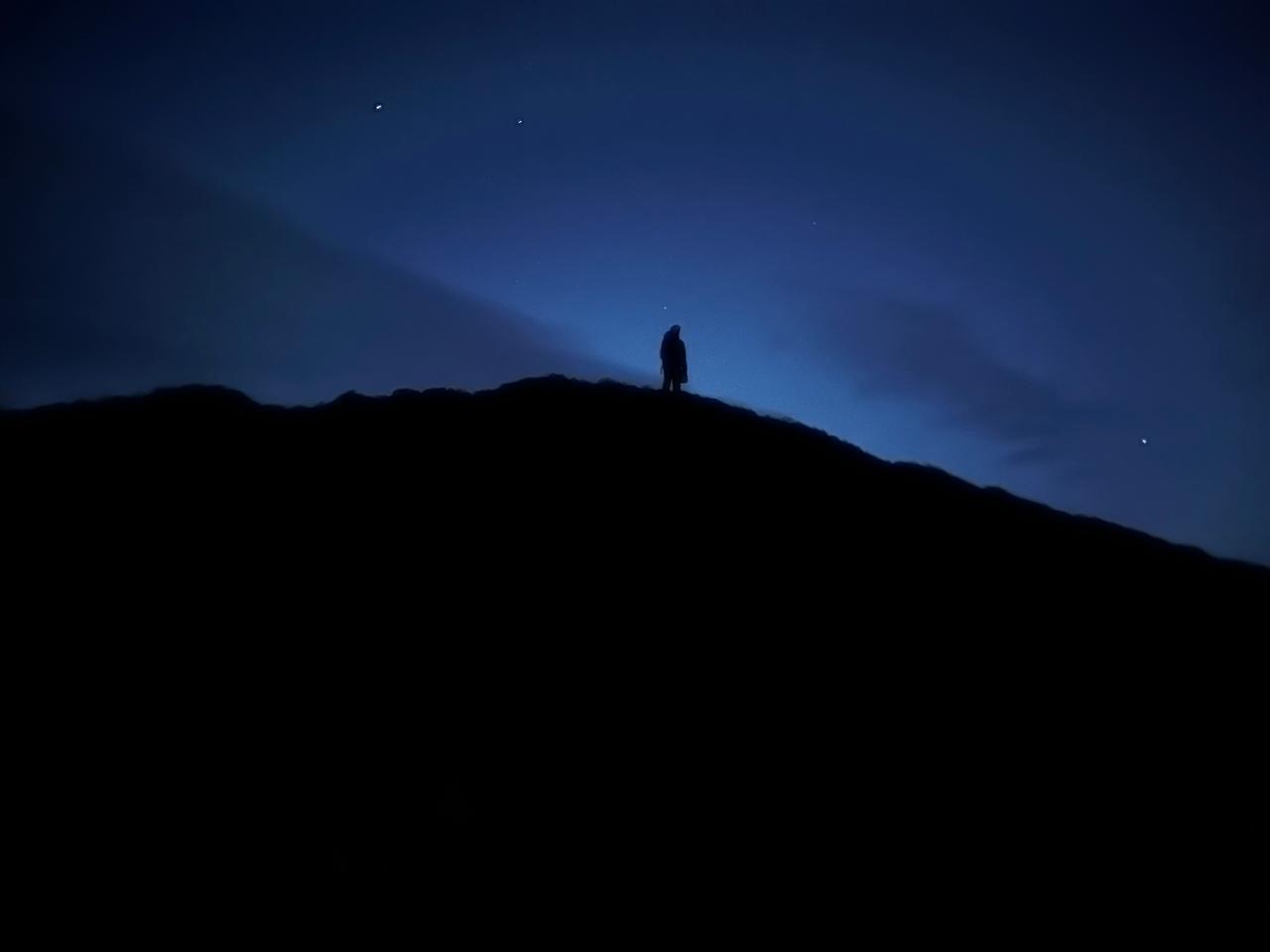
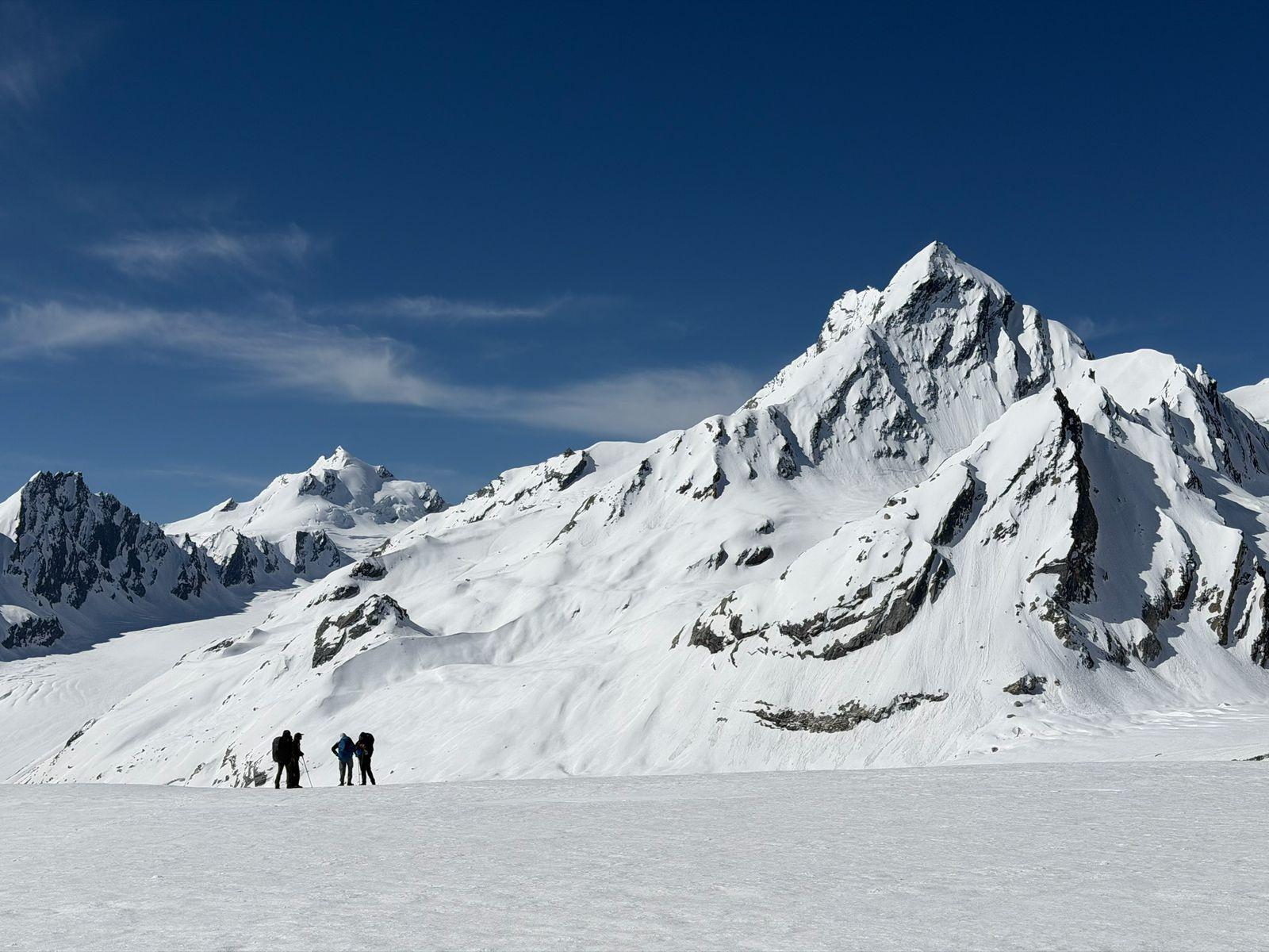
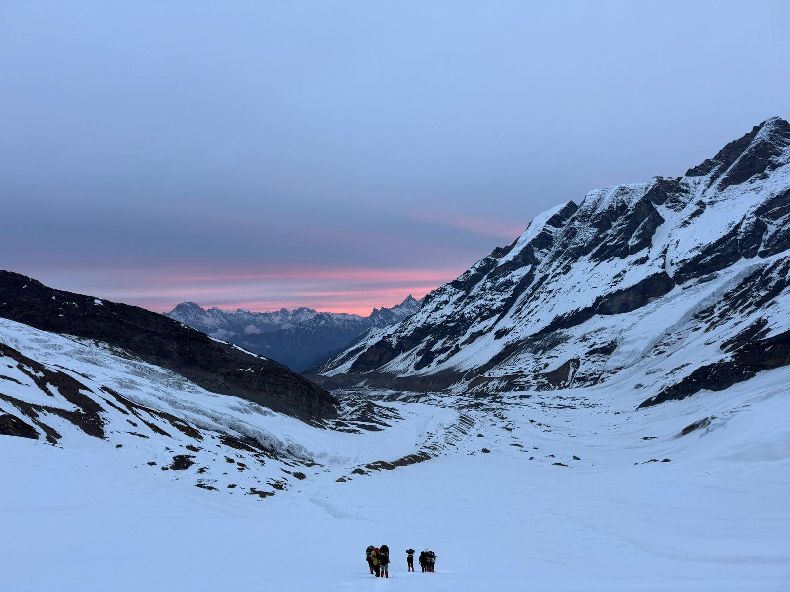
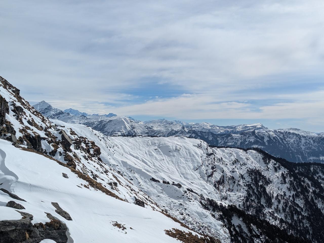
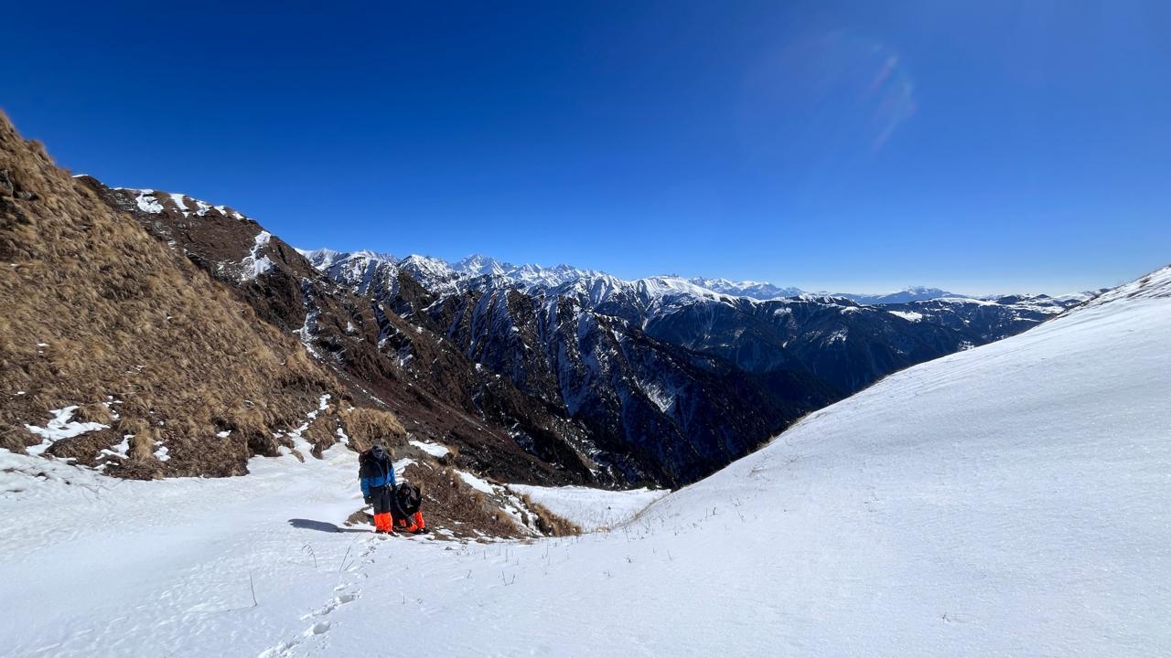
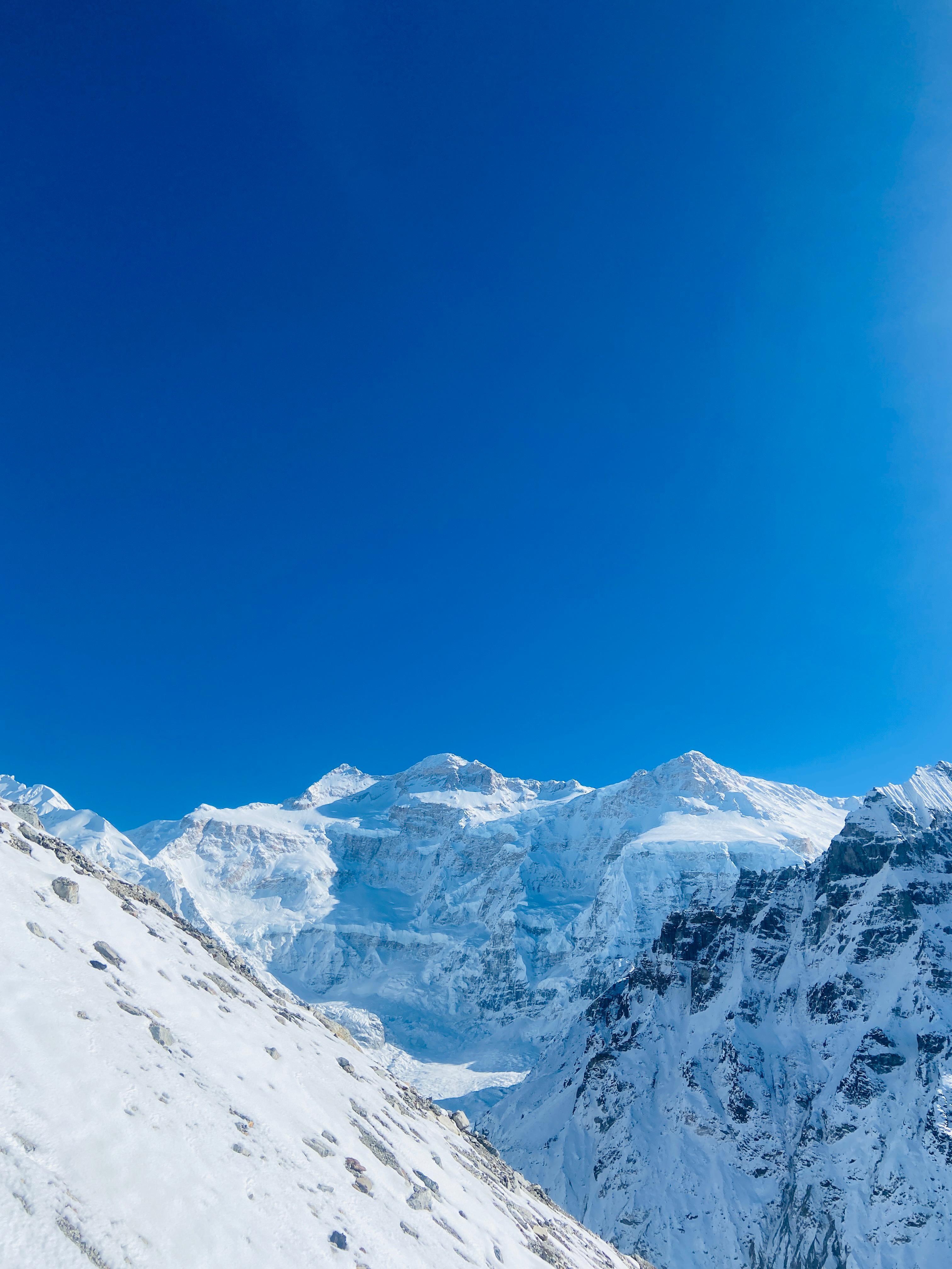
Beyond Bedni, the terrain shifts sharply. Meadows give way to moraine fields and steep snow patches. The air thins, the trail narrows, and silence envelops the glacial valley. After a night at Bhagwabasa, trekkers make their summit push to Roopkund in the early hours, reaching the lake as the first light breaks over the icy ridges.
This lake, surrounded by towering cliffs and ice, holds skeletal remains believed to be from the 9th century. Was it a pilgrimage gone wrong? A hailstorm tragedy? Historians and locals continue to speculate.
Roopkund is a journey of beauty, endurance, and mystery. It is not for the faint-hearted, but it offers unmatched rewards to those who prepare well and embrace its spiritual and natural grandeur.
Day 1
Drive from Rishikesh to Lohajung
Drive Distance – ~270 km
Time Taken – 9–10 hours
Elevation Profile – 1,900 ft to 7,700 ft
Begin your journey with a scenic drive through the Kumaon and Garhwal regions of Uttarakhand. The route winds through terraced fields, river valleys, and pine-covered slopes. Arrive at Lohajung, a small mountain settlement that serves as the base camp for the trek. Overnight in a local guesthouse or lodge.
Day 2
Lohaung to Didina via Kulling
Trek Distance – ~6 km
Time Taken – 5 hours
Elevation Profile – 7,700 ft to 8,200 ft
The trek begins with a descent to the Neel Ganga River, followed by a gradual and shaded climb through dense oak and rhododendron forests. The trail offers glimpses of village life and birdlife. Didna is a small, quiet settlement with beautiful valley views. Overnight in homestay or tent.
Day 3
Didina to Abin Kharak
Trek Distance – ~6.5 km
Time Taken – 4–5 hours
Elevation Profile – 8,200 ft to 11,200 ft
A steep ascent through thick oak forests opens into the rolling grasslands of Ali Bugyal. As you climb, the forests give way to vast, open alpine meadows with spectacular views of Mt. Trishul. Camp at the edge of the Bugyal with sunset views across the valley.
Day 4
Abin Kharak to Patar Nachauni via Bedni Bugyal
Trek Distance – ~7 km
Time Taken – 5 hours
Elevation Profile – 11,200 ft to 12,200 ft
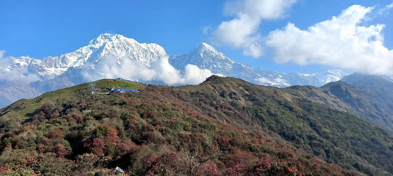
The trail today traverses the length of Ali and Bedni Bugyal, offering uninterrupted views of the Garhwal Himalayas. Bedni is a revered high-altitude meadow with mythological significance, and houses a small temple. The trail gently ascends to Patar Nachauni, a windswept campsite just below the ridge.
Day 5
Patar Nachauni to Bhagwabasa via Kalu Vinayak
Trek Distance – ~6 km
Time Taken – 4 hours
Elevation Profile – 12,200 ft to 14,100 ft
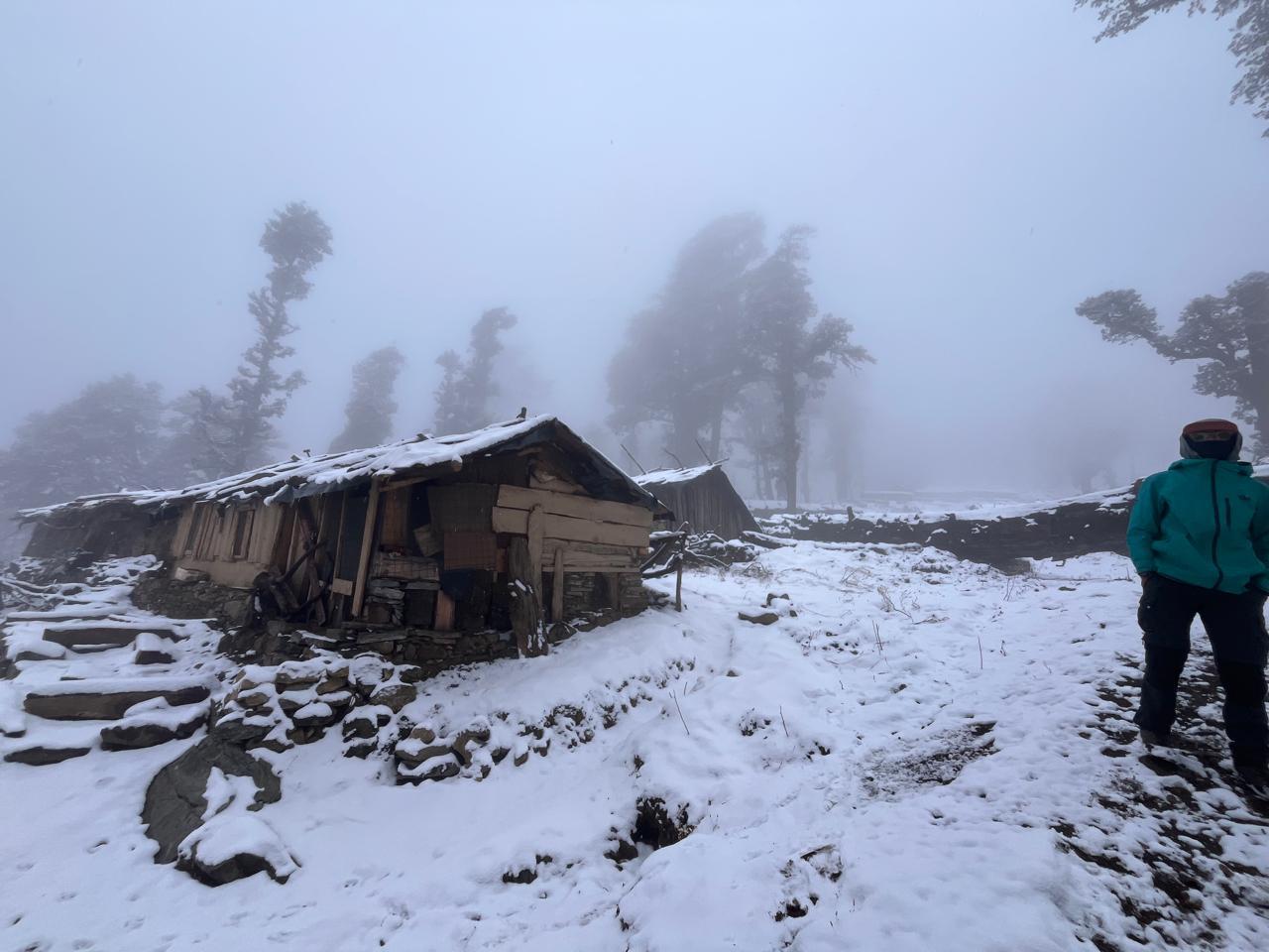
A steep climb brings you to Kalu Vinayak, a sacred stone temple nestled into a saddle at 14,000 ft. The trail is steep but well-paved with stone steps. From here, the trail eases out into a traverse across rocky terrain to Bhagwabasa. The landscape becomes barren, cold, and starkly beautiful. Overnight in tents.
Day 6
Bhagwabasa to Roopkund and back to Patar Nachauni
Trek Distance – ~10 km round trip
Time Taken – 7–8 hours
Elevation Profile – 14,100 ft to 15,750 ft and descend to 12,200 ft
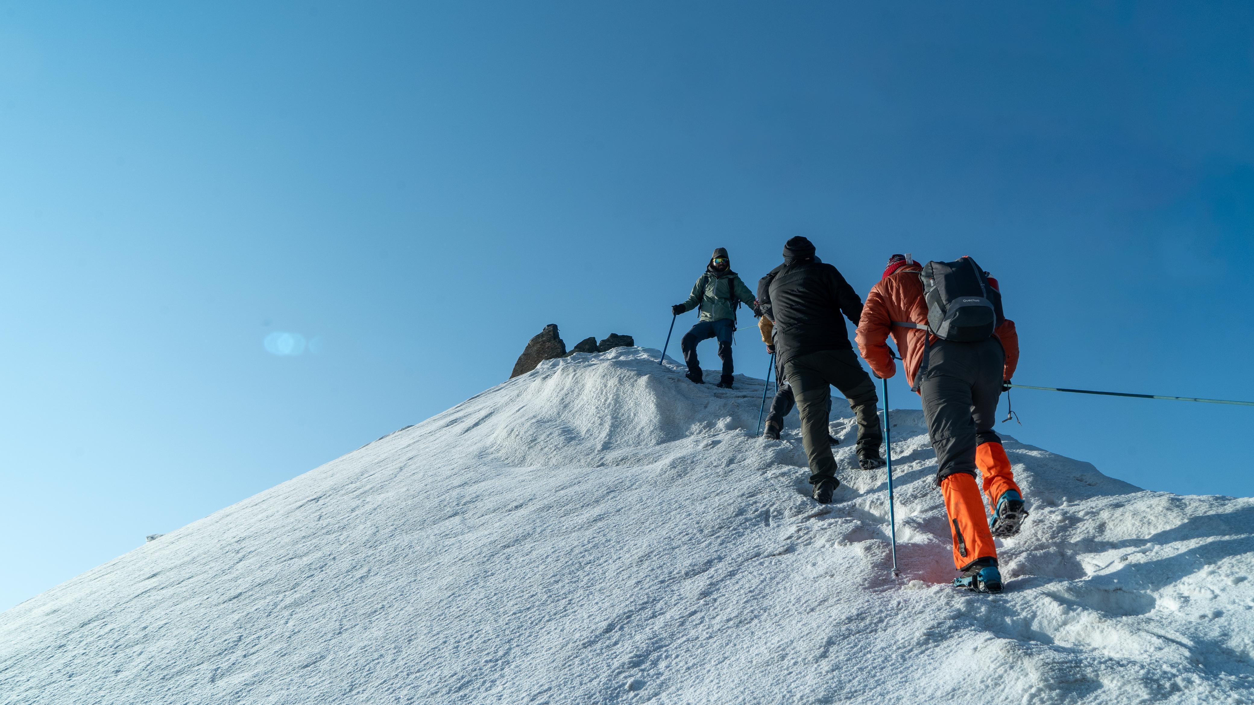
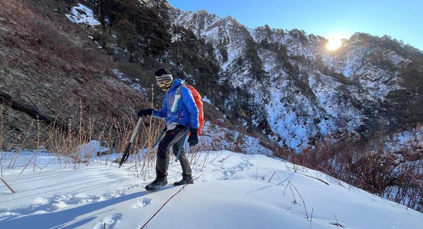
The summit day begins before dawn. You ascend over rocky terrain and patches of snow to reach Roopkund just after sunrise. At the lake, peer into the icy waters to glimpse the skeletal remains, then soak in views of Trishul and the surrounding ridges. After spending some time at the top, descend carefully and trek back to Patar Nachauni.
Day 7
Patar Nachauni to Lohajung via Bedni and Wan
Trek Distance – ~10 km round trip
Time Taken – 7–8 hours
Elevation Profile – 14,100 ft to 15,750 ft and descend to 12,200 ft
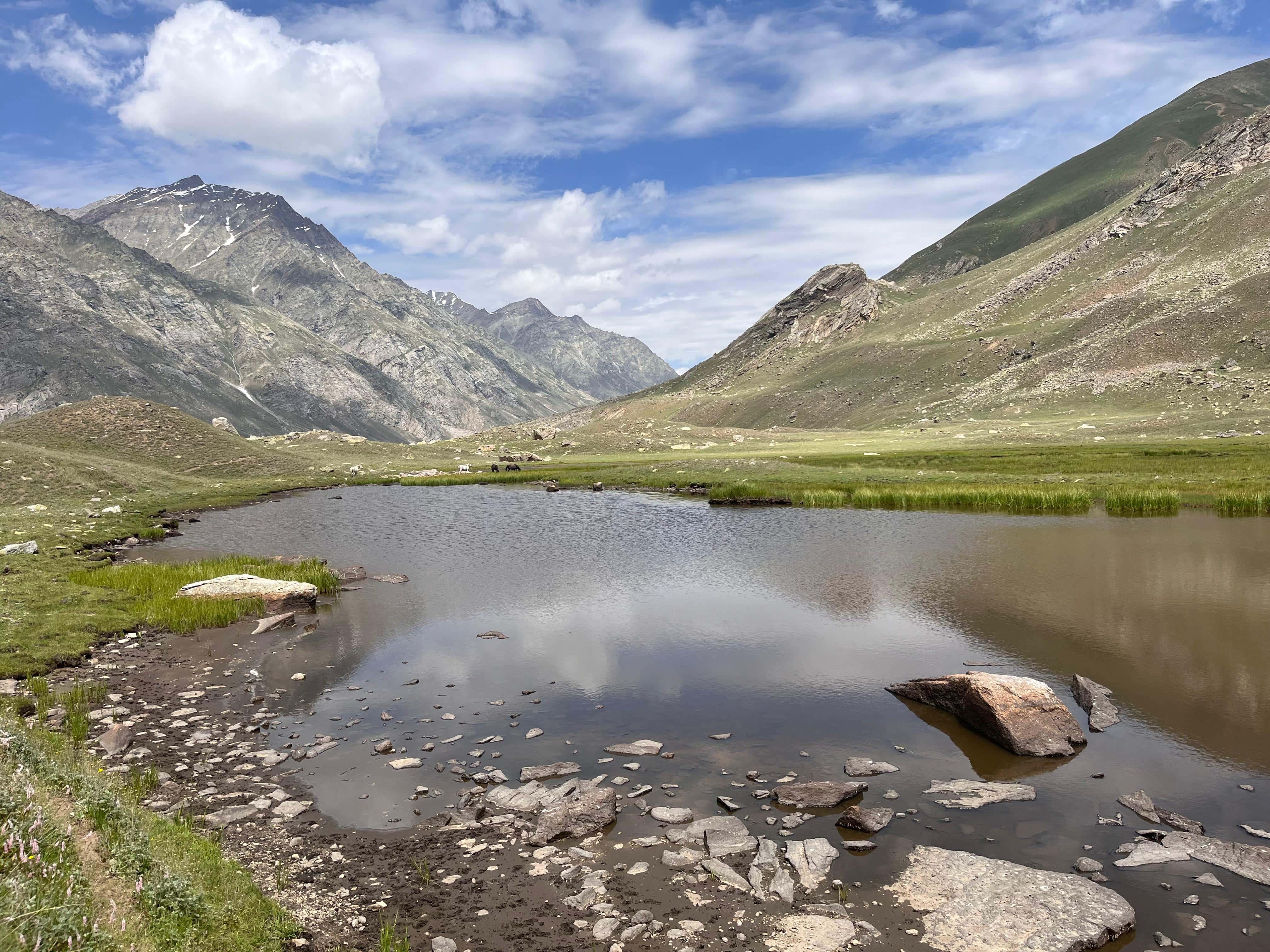
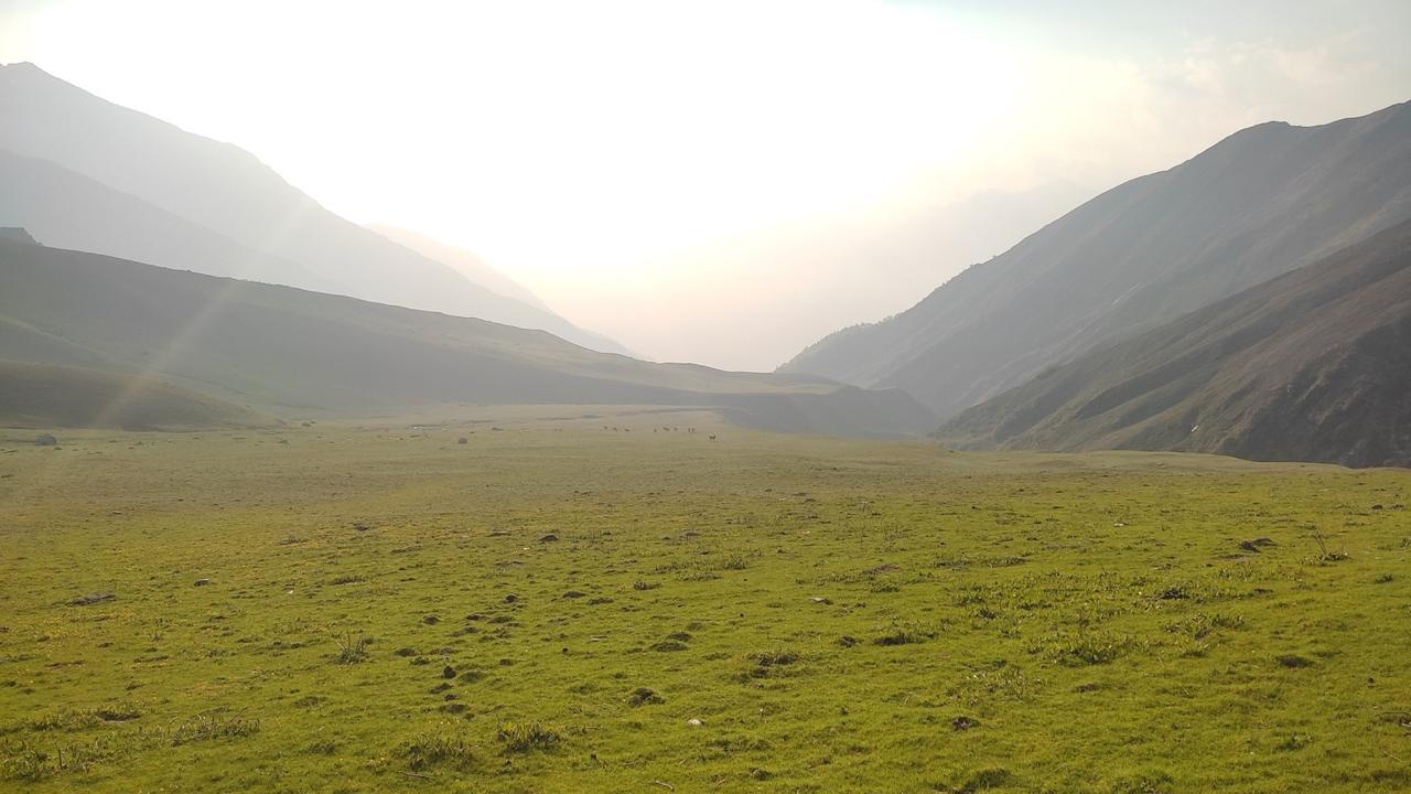
Today is a long but rewarding descent through some of the most beautiful landscapes of the Garhwal Himalayas. Leaving Patar Nachauni behind, the trail gradually opens up into the wide alpine meadows of Bedni Bugyal.
The vast grasslands, framed by distant Himalayan peaks, offer a stark contrast to the rocky terrain of the previous days.
The final stretch brings you down to Wan village, from where you drive back to Lohajung, marking the end of your Roopkund journey.
Day 8
Lohajung to Rishikesh
Drive Distance – ~270 km
Time Taken – 9–10 hours
Elevation Profile – 7,700 ft to 1,900 ft
Retrace your drive through the hills, descending from the heart of the Garhwal Himalayas to Kathgodam. Reach by evening. You can plan your departure or onward journey for late evening or the next day.
Fitness Requirement
- Participants must be physically active and capable of trekking for 5–8 hours daily.
- Beginners are welcome but must start preparation at least 12 weeks before the trek.
- Required: Ability to brisk-walk for atl east 60–90 minutes.
- High-altitude readiness: No history of cardiac or severe respiratory conditions.
Our expectations from the participan
- Respect mountain ecology – strictly follow Leave No Trace principles.
- Be open to basic lifestyle – limited bathing, shared toilet tents, simple meals.
- Work as a team – listen to trek leaders, assist fellow trekkers.
- Maintain discipline, hydration, and positivity in challenging weather.
Inclusion
Exclusion
How difficult is the Roopkund trek?
Terrain: Forest trails, steep meadow ascents, rocky moraine, and loose scree near the summit.
Endurance: Continuous trekking for 6–8 hours daily over multiple days.
Altitude: Reduced oxygen availability above 14,000 ft.
The summit push from Bhagwabasa to Roopkund involves negotiating steep boulder sections and potential snow patches — requiring balance, focus, and steady pacing. While no technical climbing is involved, it is physically demanding.
What is the best time to do the Roopkund trek?
April to June: The trail is still covered in patches of snow, meadows bloom with alpine flowers, and the lake is often partially frozen — a classic Himalayan spring experience.
September to October: Post-monsoon months offer clear skies, stable weather, and panoramic views of Trishul and Nanda Ghunti.
Monsoon season (July–August) is avoided due to landslides, overflowing streams, and poor visibility.
Do I need prior trekking experience?
How cold does it get on the trek?
What kind of accommodation is provided?
Will there be snow on the trek?
Is altitude sickness a concern?
What safety measures are in place?
Certified wilderness first-aid trained trek leaders
Medical kits and oxygen cylinders
Daily health monitoring
Weather tracking and route assessment
Radio communication where networks fail
Established evacuation and descent plans
SELECT DATE TO REGISTER


Thank You!
Your form has been submitted successfully. We'll get back to you soon.
₹ 21,499 + 5% GST