


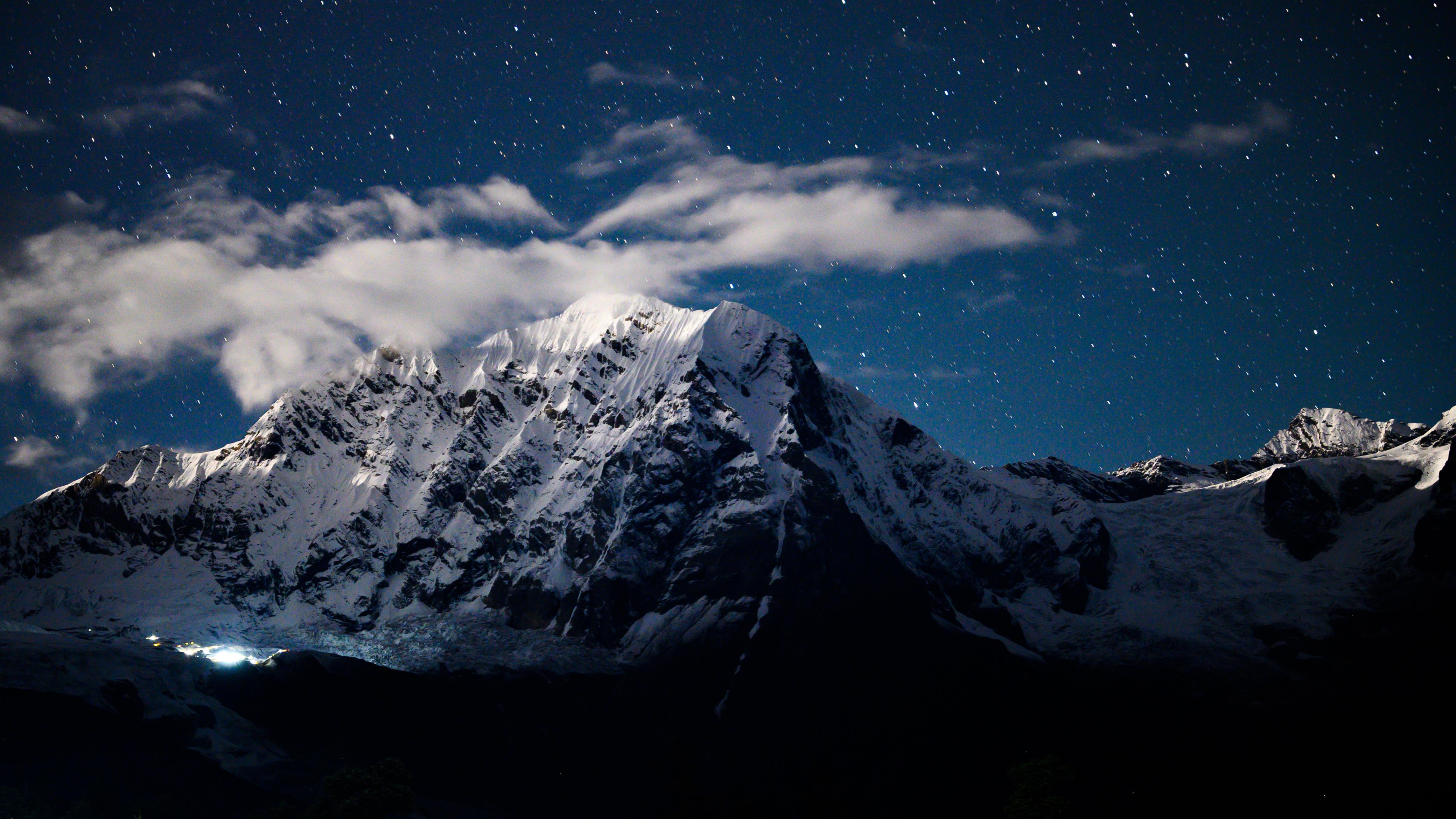
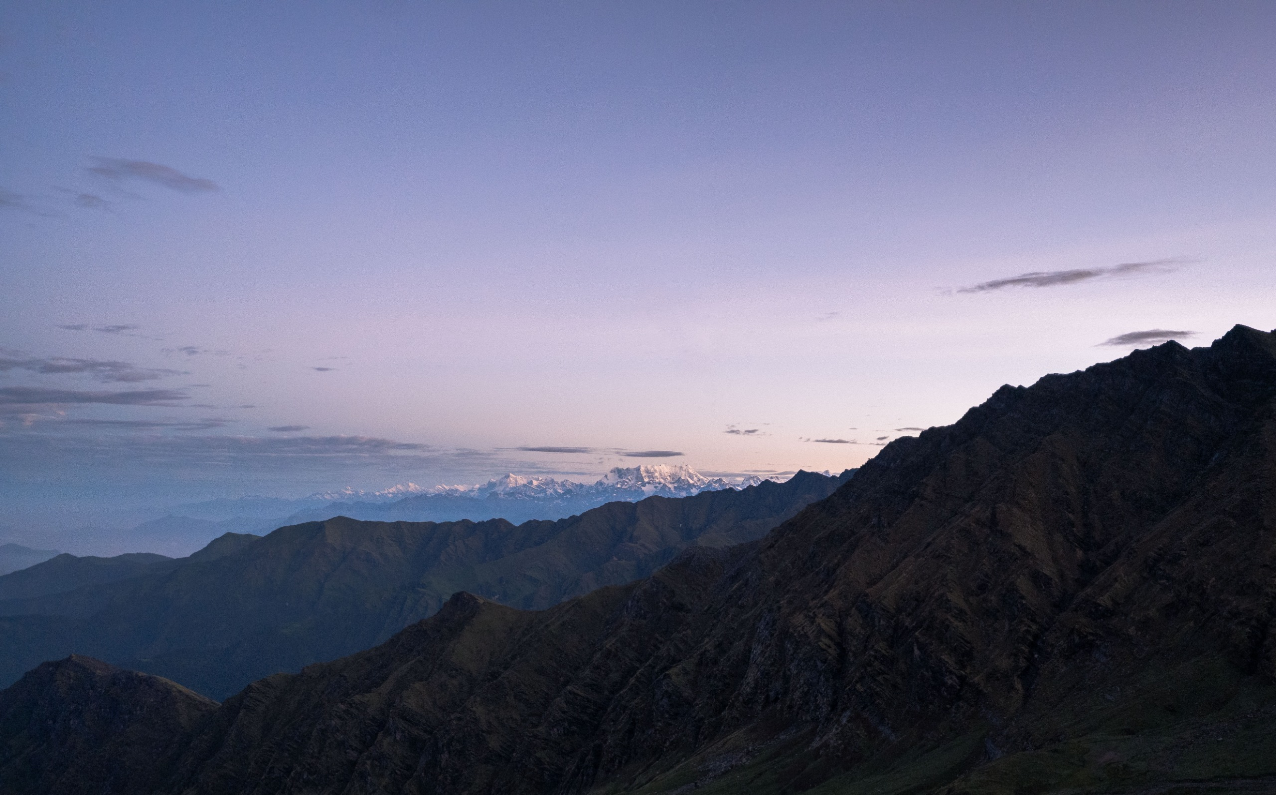
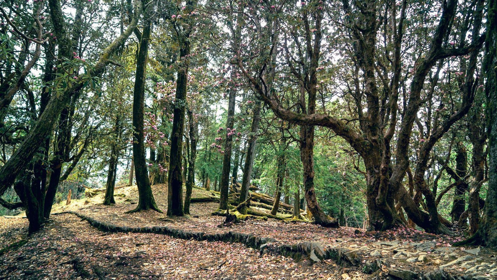
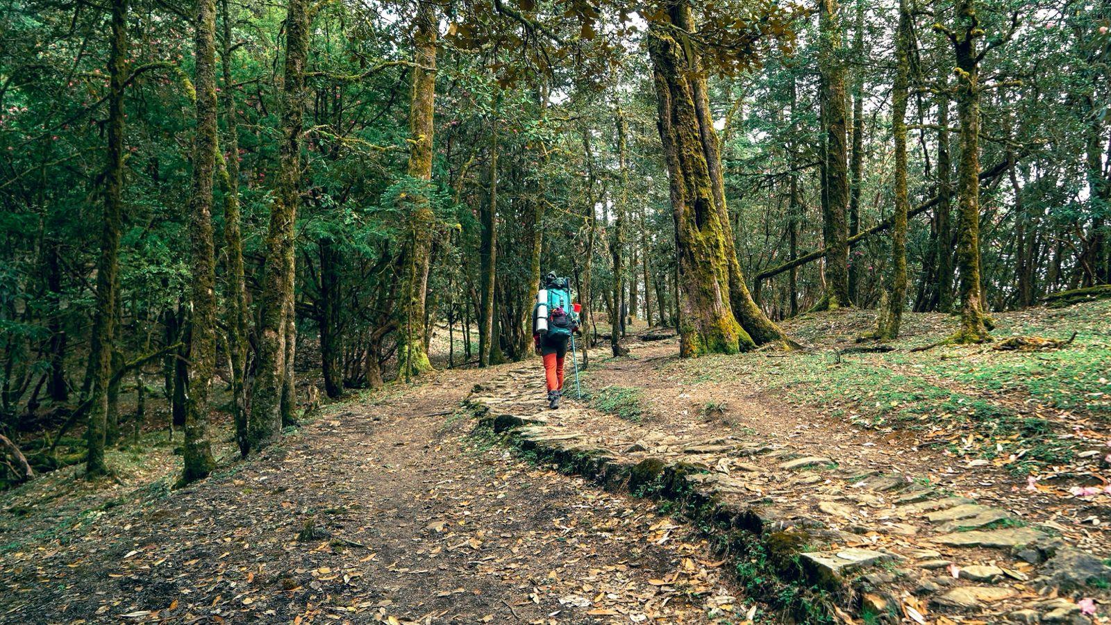
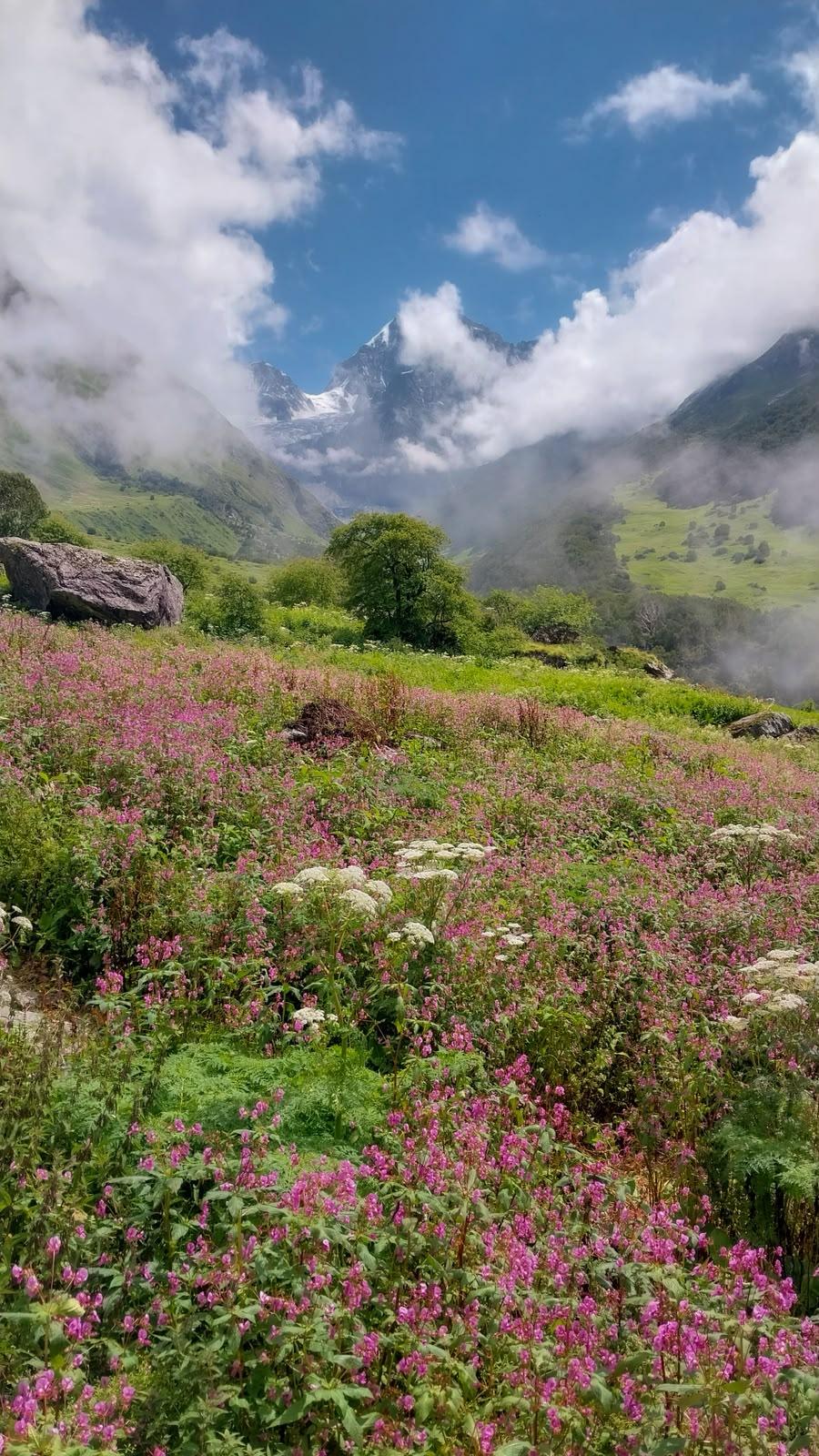
If you imagine the Himalayas as a long conversation between earth and sky then this trek is where they whisper secrets. Starting from from the sacred land of Gangotri, where the Bhagirathi flows like a wild hymn, you climb through forests of Bhojkharak making your way upto Kedaratal, a journey in itself and then to the meadows and glacial ridges towards Auden’s Col. Once you climb the pass, you walk through one of the most heavily glaciated regions in India - the crevassed Khatling glacier. Then back onto moraine and through dense forests once again before visiting the holy Vasuki Tal lake and the snow-covered Mayali Pass.
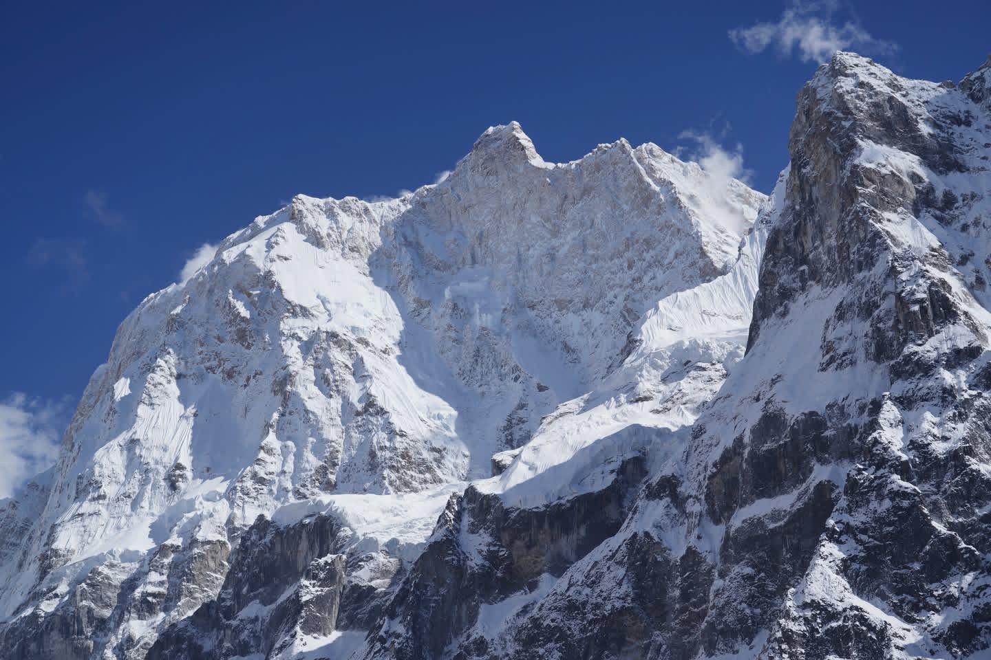
The pass sits between massive peaks (Jogin I, Gangotri III) and leads down into the glacier-strewn Bhilangna valley and eventually to Kedarnath.
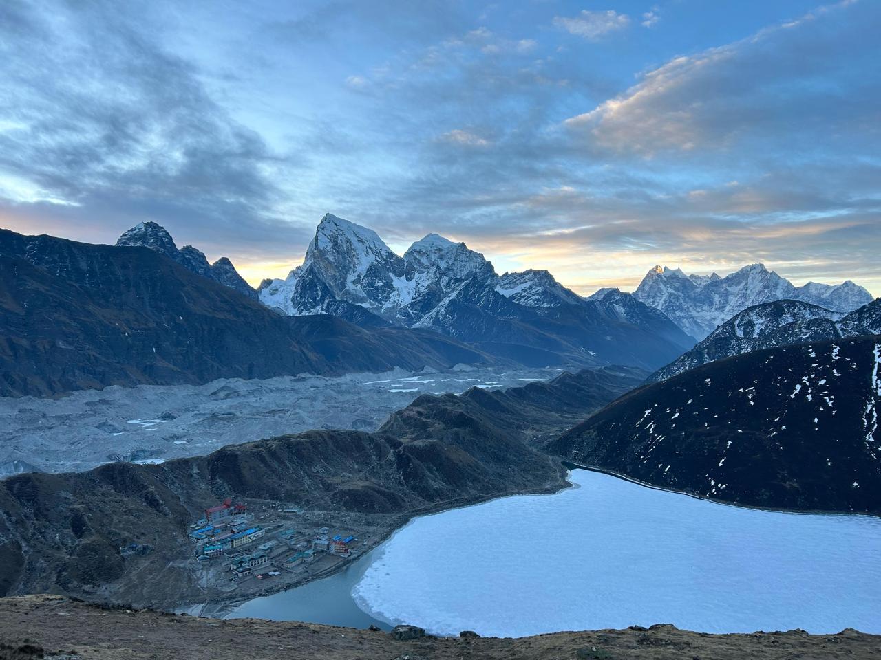
Along the way you’ll see lakes skirted by snow, the simple lives of mountain villages, and the kind of solitude that teaches something about yourself.
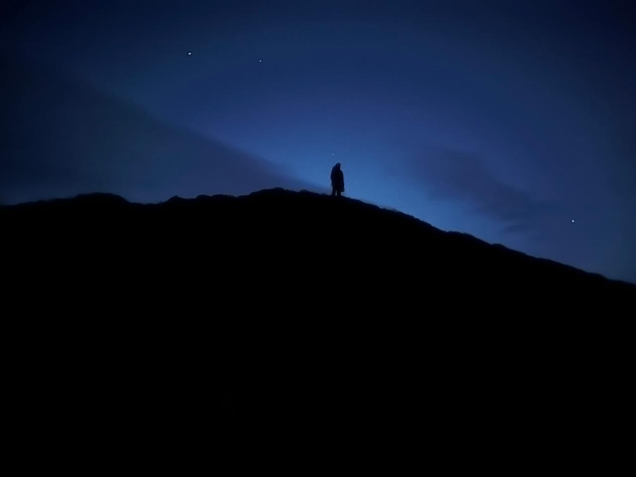
We’re not just ticking off peaks. We’re walking through landscapes that hold myths, ice that remembers millennia, and valleys that still whisper old ways. You’ll go from pine and birch forests, to mossy meadows, to scree and snow. And down into a sacred valley at the end. It’s hard. It demands respect, focus and heart. But you’ll come out changed. Knowing the mountains a little better. And maybe yourself, too.
Day 1
Drive from Dehradun to Gangotri (Base village)
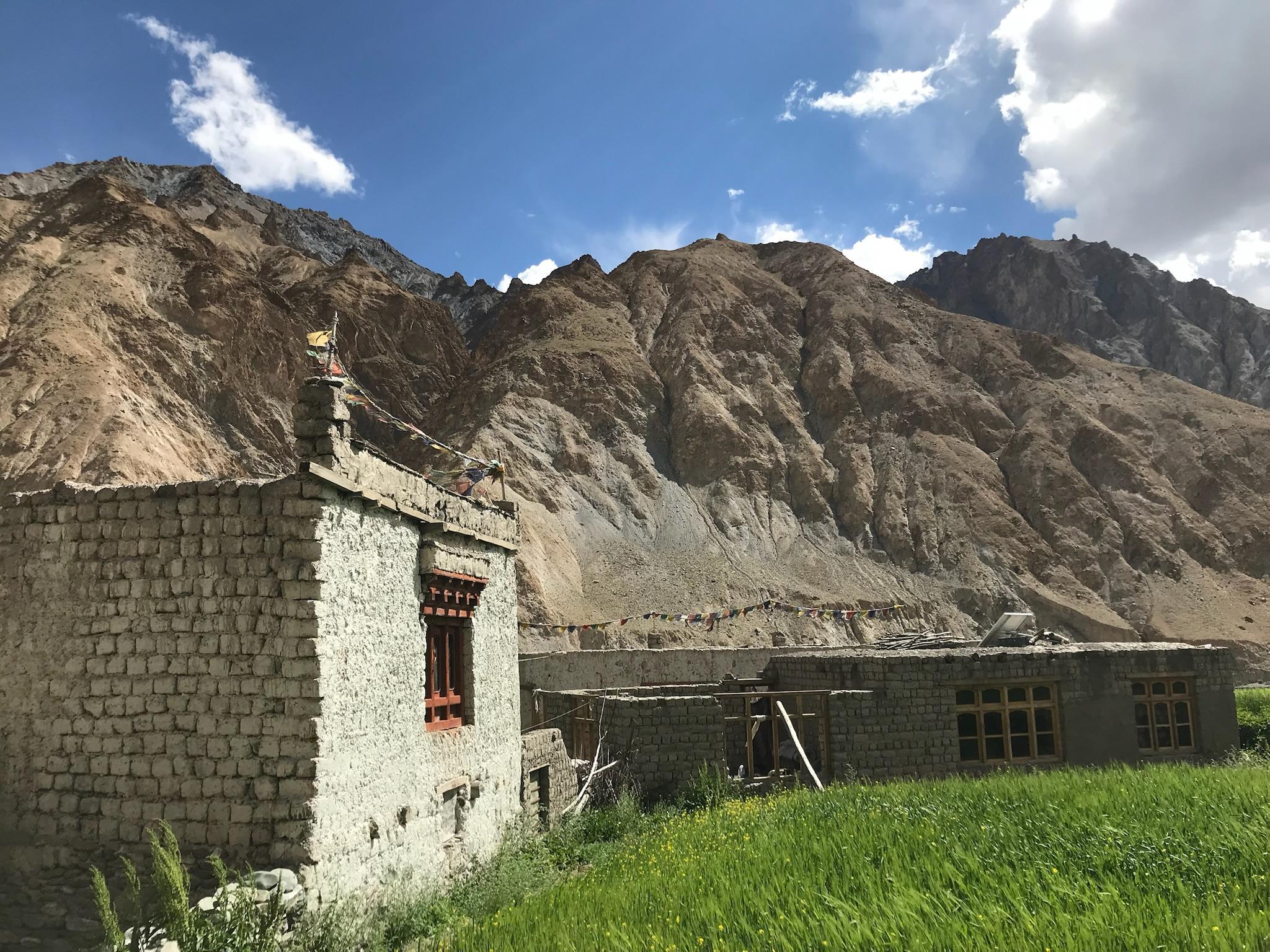
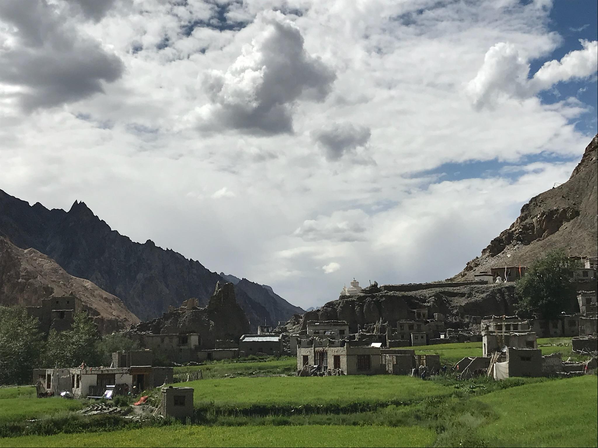
The drive to Gangotri is a pilgrimage in itself. As you trace the Bhagirathi River, pine forests give way to deodar valleys and snow-dusted ridges. You reach Gangotri by evening, a small spiritual town at 10,000 ft. The sound of temple bells and rushing water will set the tone for the next two weeks of mountain life. It's also a perfect place to get acclamitized for the journey ahead.
Day 2
Acclimatization Day at Gangotri
A dedicated acclimatization day allows the body to adjust to altitude before entering more remote terrain. Short walks around Gangotri, visits to nearby viewpoints,Surya Kund, Gangotri temple in the evening and expedition briefings help prepare participants for the journey ahead. This is also the final opportunity to reorganize gear before leaving civilization behind.
Day 3
Gangotri to Nallah Camp
Distance: 10 km
Time: 5–6 hrs
Elevation Gain: 450 m
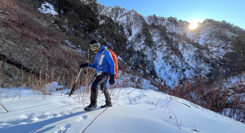
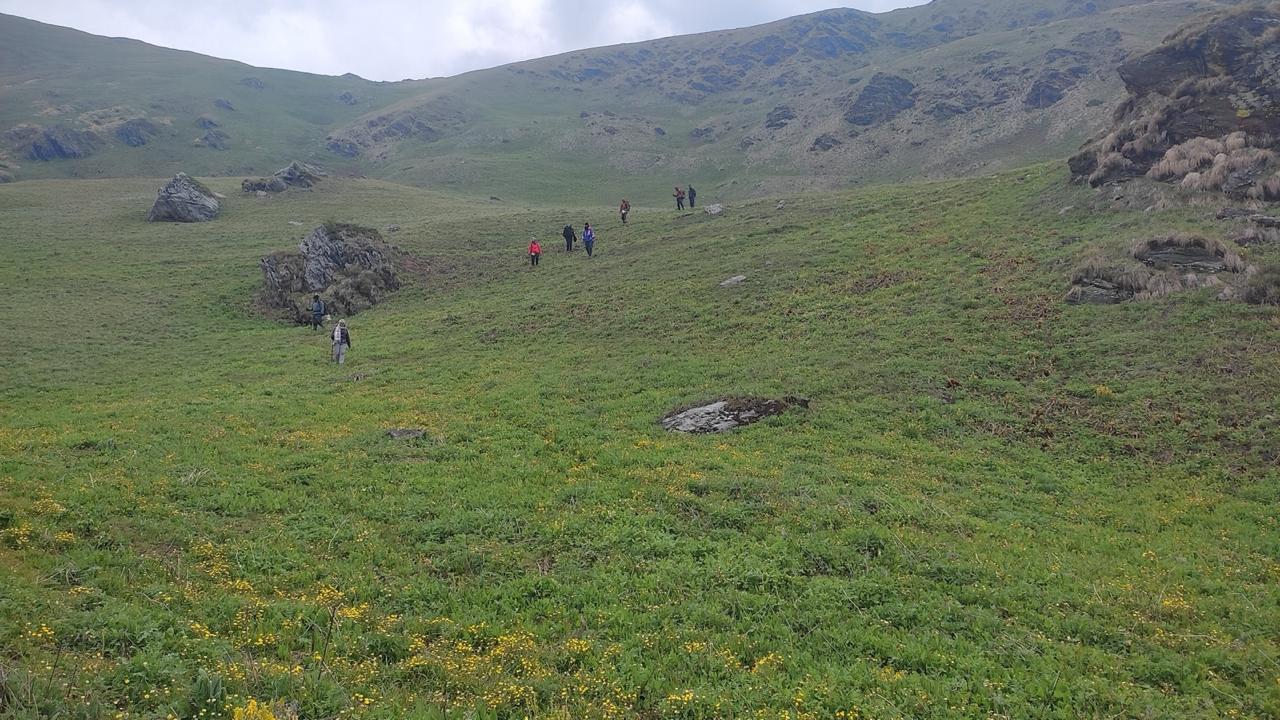
The expedition begins by leaving the pilgrim trails behind and entering quieter mountain terrain. The route follows the Rudragaira valley, gradually gaining altitude through forests, boulder fields, and open grazing grounds. The day is physically moderate but marks the transition from road access to wilderness travel.
Day 4
Nallah Camp to Rudragaira Basecamp
Distance: 8 km
Time: 5–6 hrs
Elevation Gain: 500 m
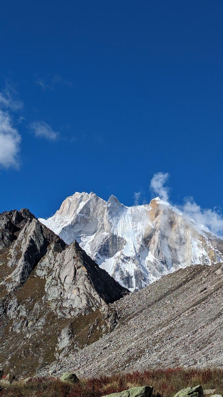
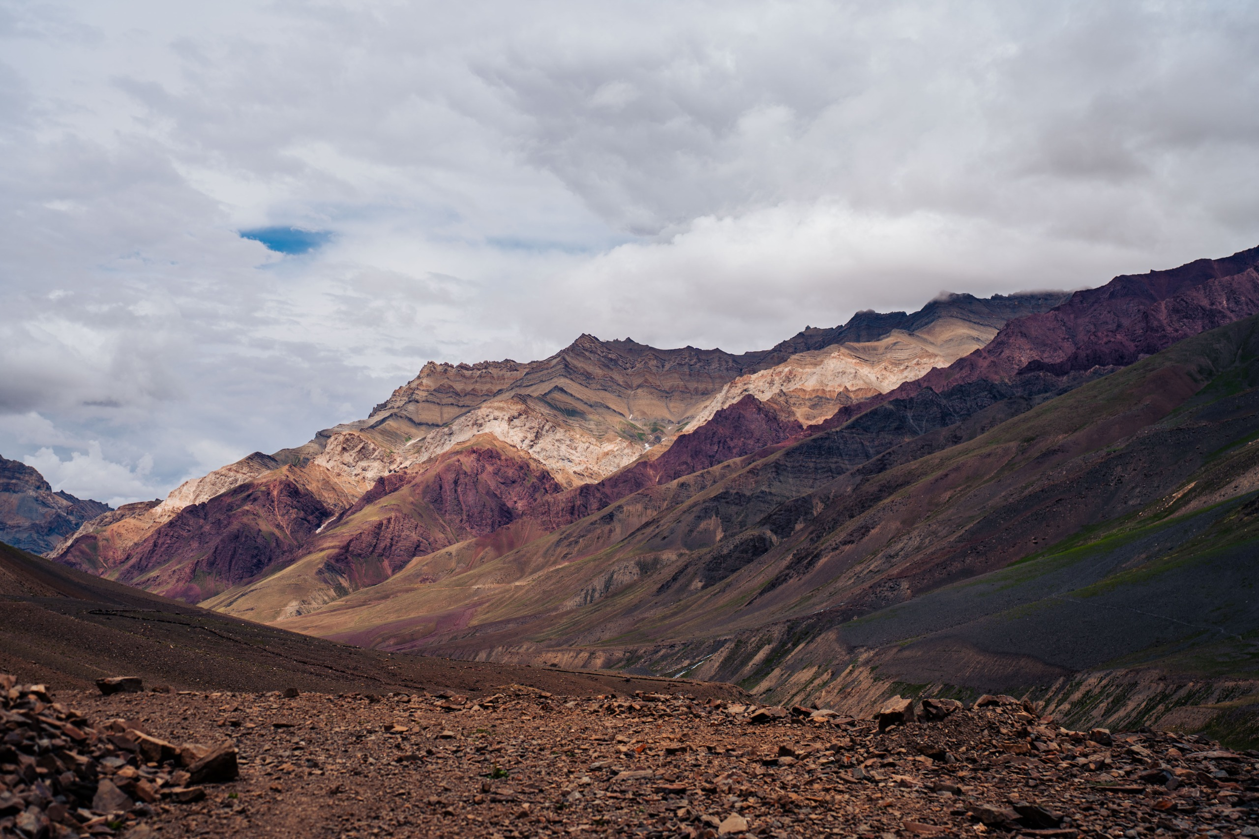
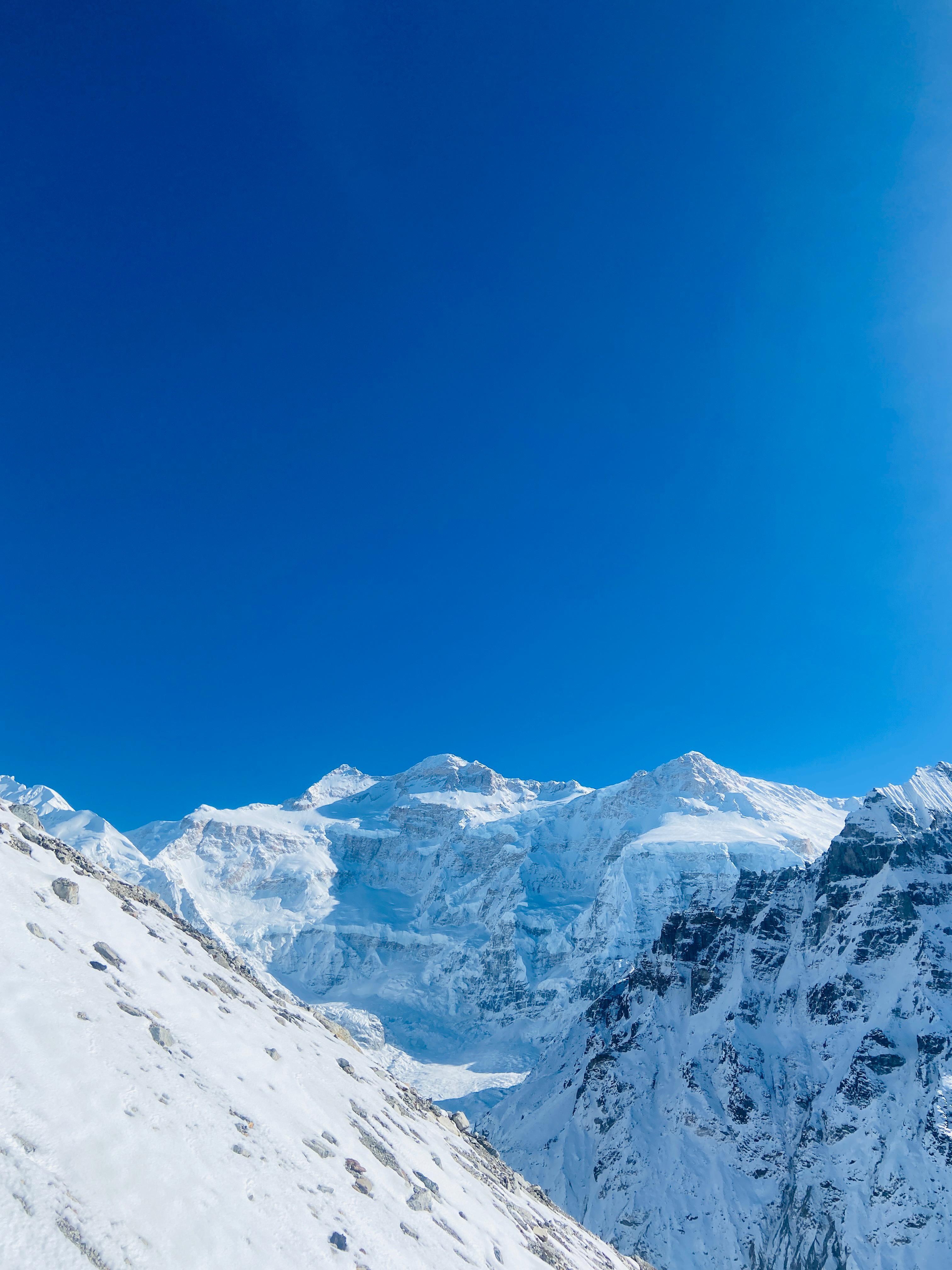
The valley narrows and the terrain becomes increasingly rugged. Large moraine sections and glacial streams begin to appear as the route approaches Rudragaira Glacier. The surrounding peaks feel closer, and the expedition atmosphere becomes more pronounced. Camp is established beneath impressive mountain walls with views of the glacier system ahead.
Day 5
Rudragaira Basecamp to Sukha Tal
Distance: 7 km
Time: 5–7 hrs
Elevation Gain: 600 m
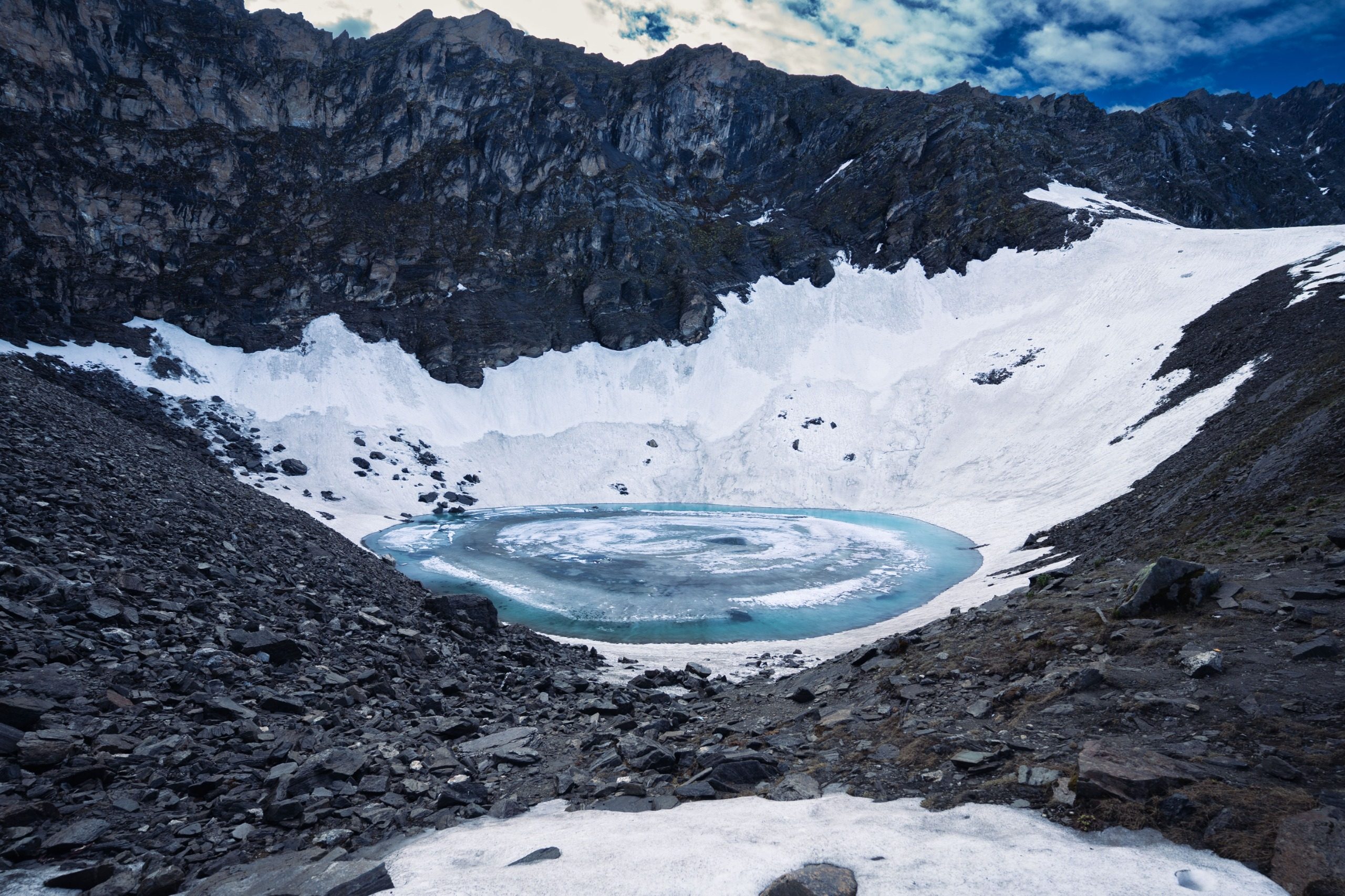
Movement slows as the terrain becomes rougher and more demanding. The route traverses moraine, loose rock, and glacial debris before reaching Sukha Tal, a small high-altitude campsite surrounded by stark alpine terrain. The altitude begins to make itself felt and steady pacing becomes increasingly important.
Day 6
Sukha Tal to Auden's Col Basecamp
Distance: 6 km
Time: 5–6 hrs
Elevation Gain: 500 m
The team enters serious expedition terrain. Travel is slower and more deliberate as the route moves across glacier sections and unstable moraine. The camp is established beneath the imposing slopes leading to Auden's Col. The remainder of the day is spent resting, hydrating, and preparing equipment for the most demanding stage of the expedition.
Day 7
Auden's Col Basecamp to Khatling Glacier Camp via Auden's Col
Distance: 12 km
Time: 10–14 hrs
Elevation Gain: 700 m
Elevation Loss: 1,200 m
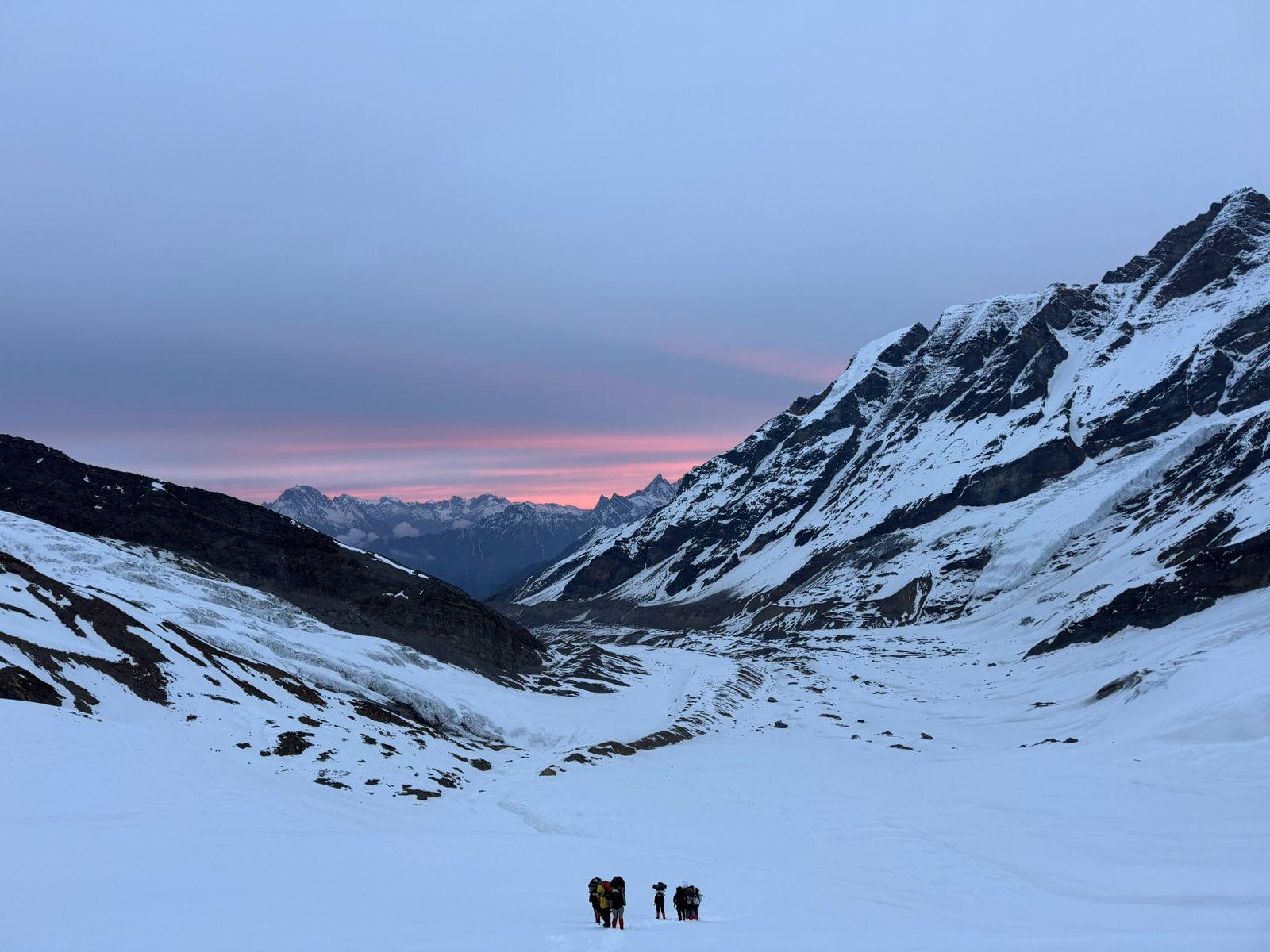
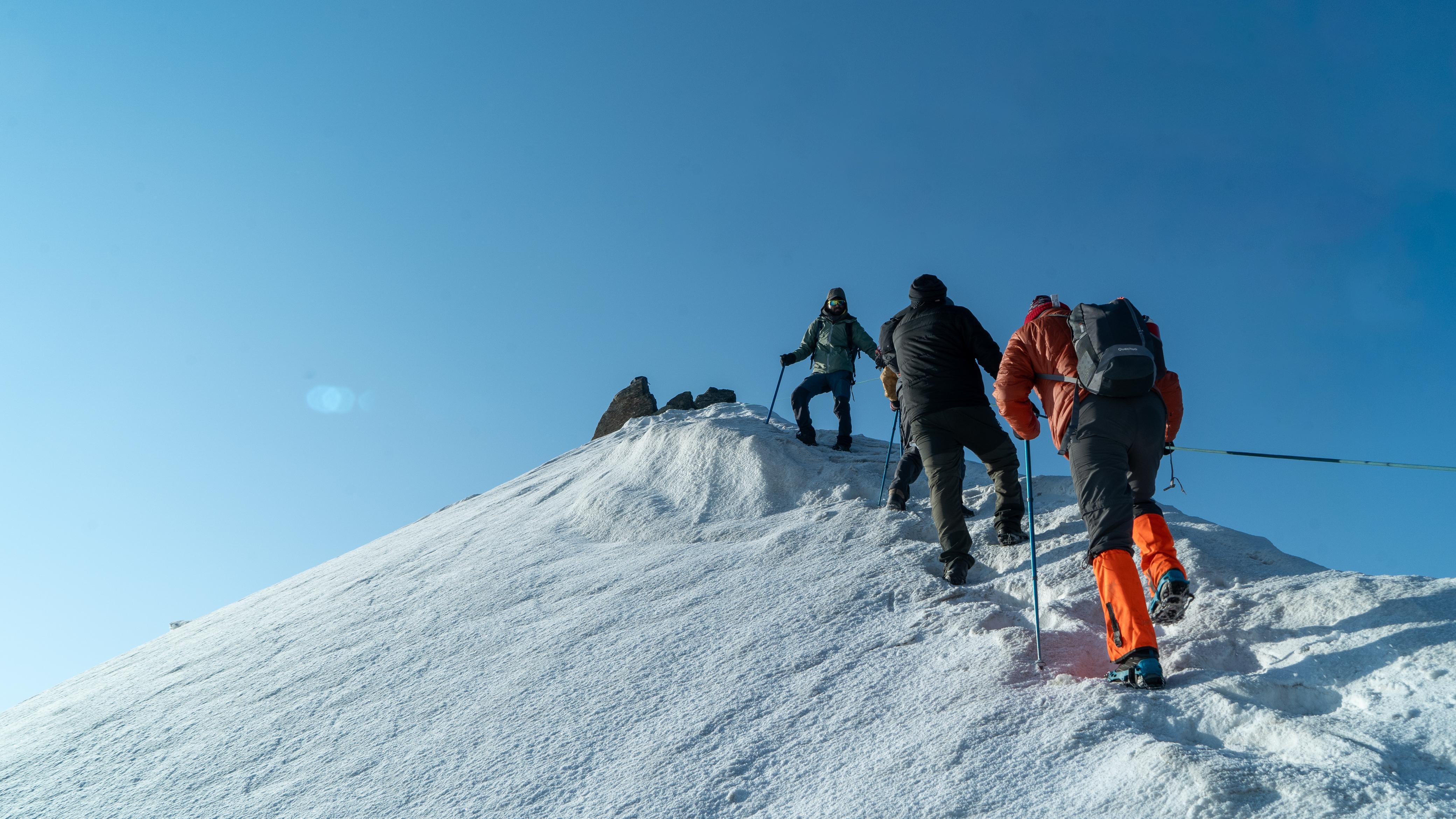
The defining day of the expedition.
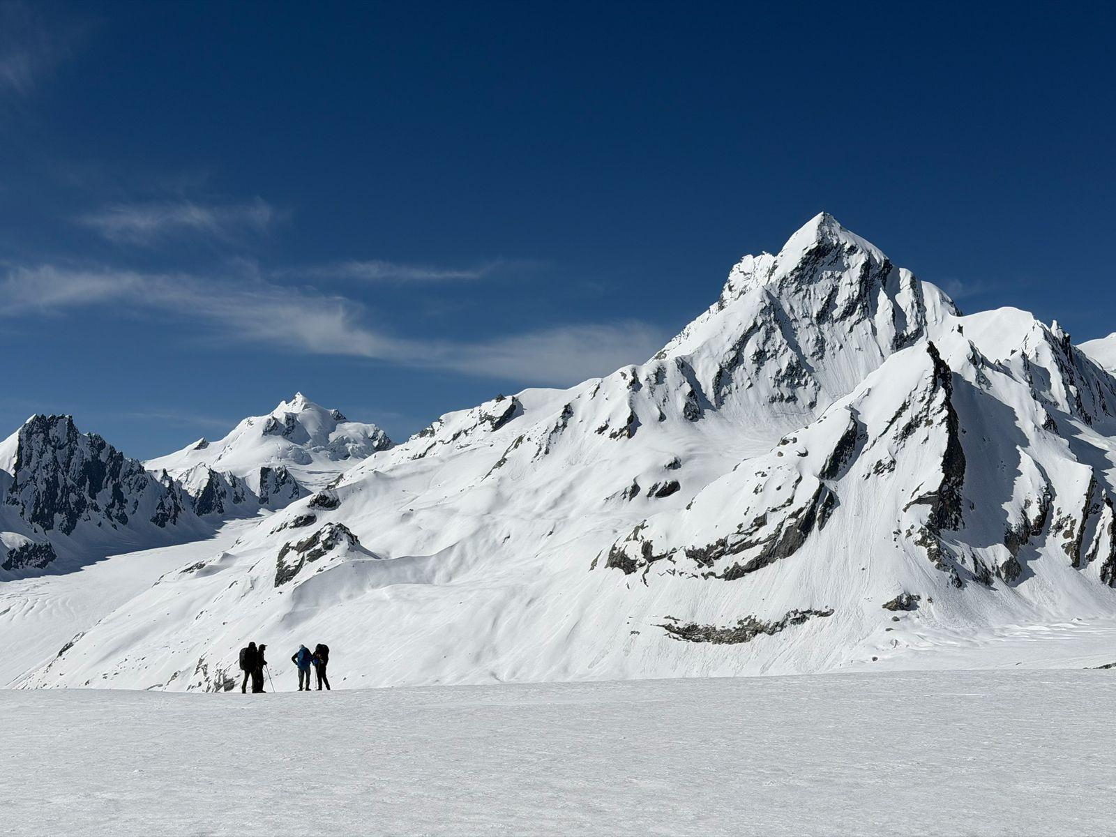
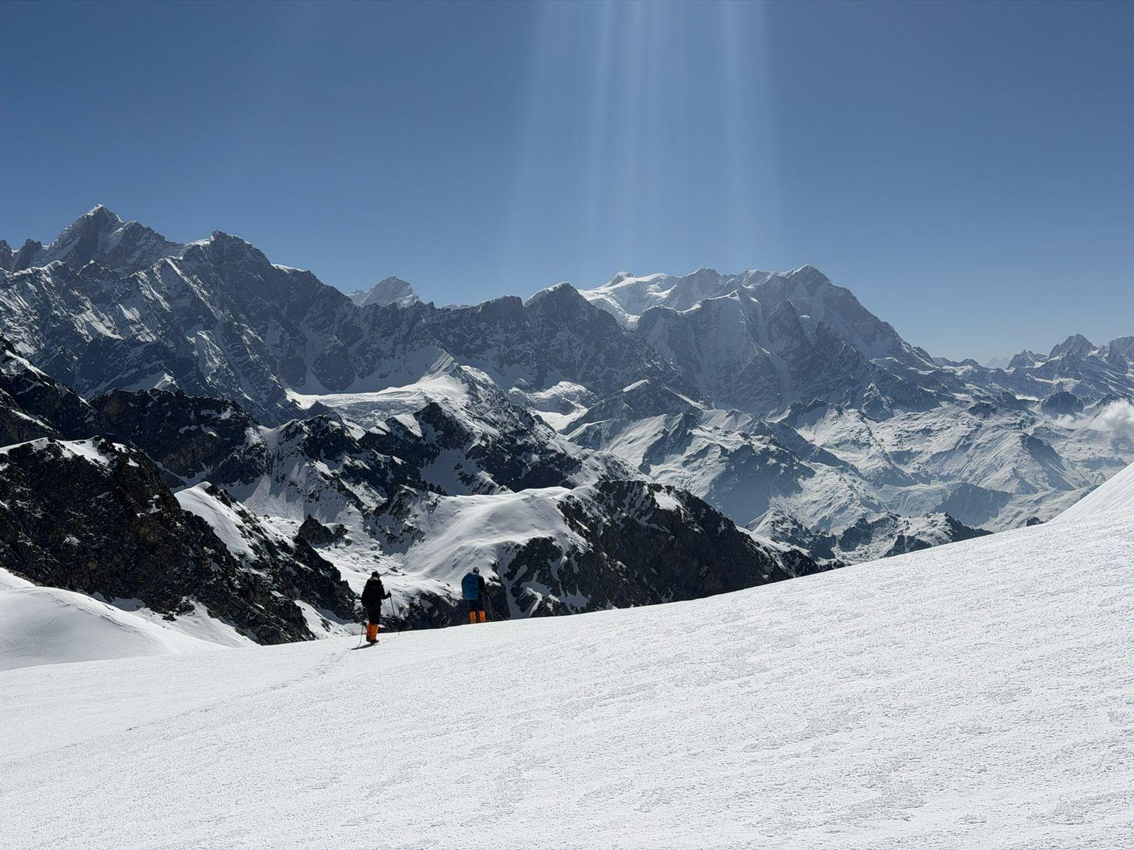
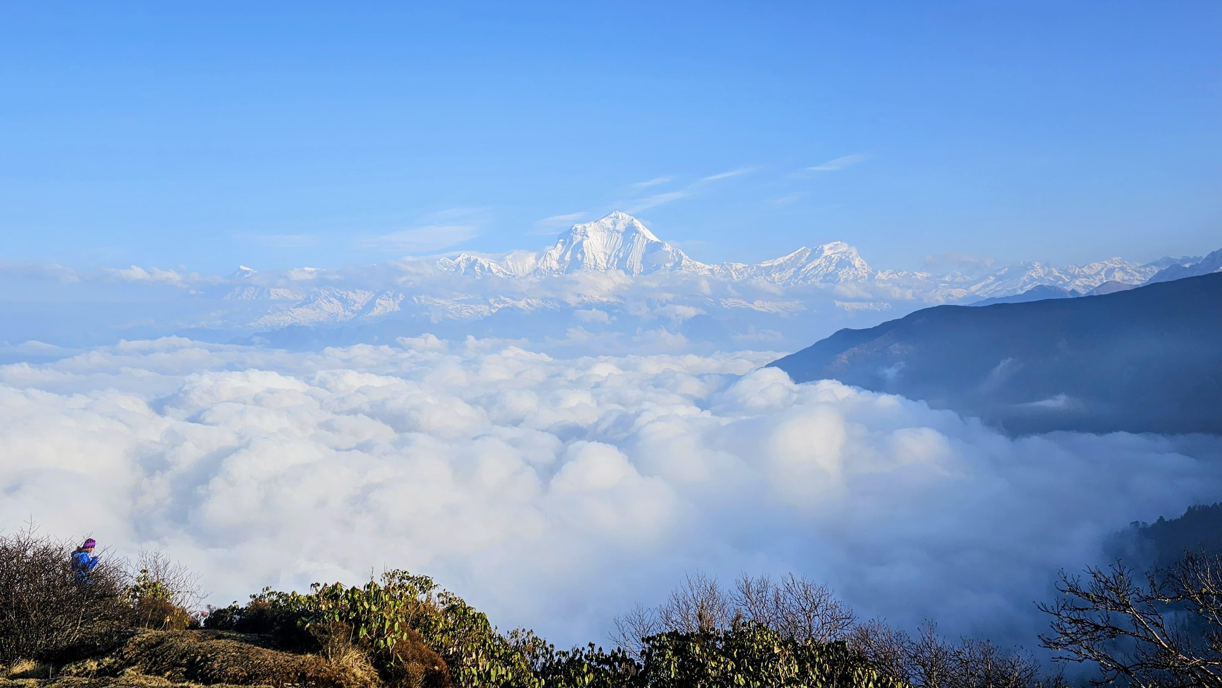
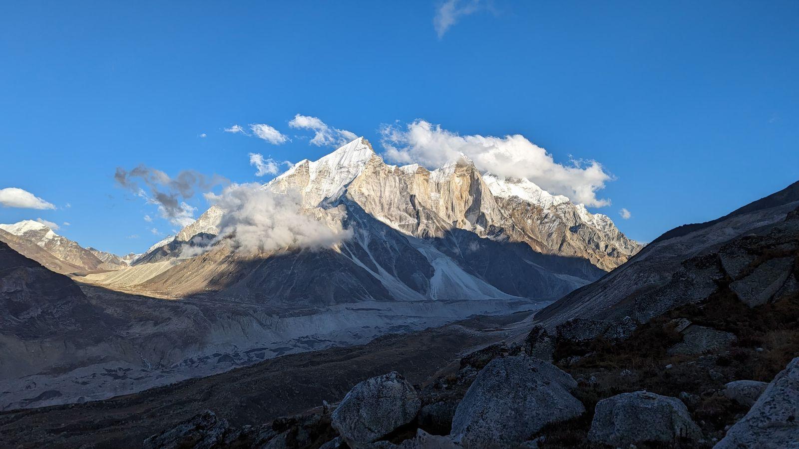
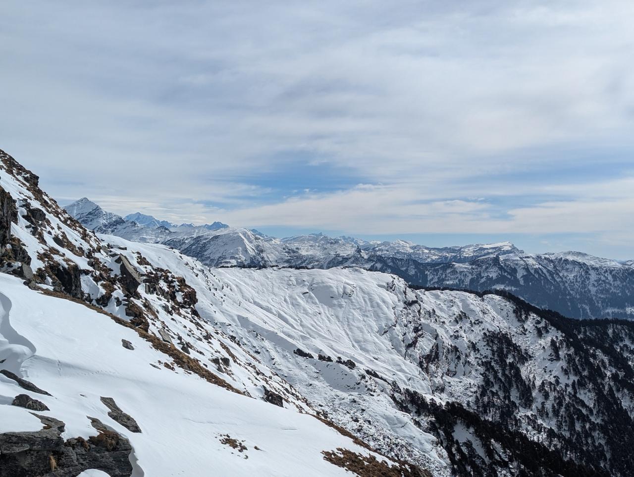
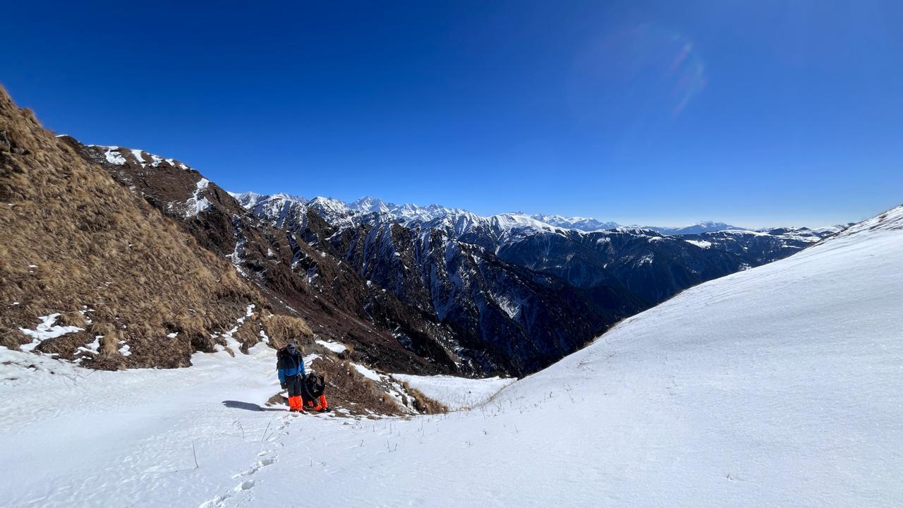
An early alpine start leads toward Auden's Col (5,490 m), one of the most challenging non-technical passes in the Indian Himalayas. The ascent involves steep snow slopes, glacial travel, and long hours at altitude. After crossing the pass, the descent onto the Khatling Glacier requires concentration and teamwork. It is a physically and mentally demanding day that often becomes the highlight of the entire journey.
Day 8
Khatling Glacier Camp to Zero Point Camp
Distance: 10 km
Time: 6–8 hrs
Elevation Loss: 500 m
The route continues across the vast Khatling Glacier before gradually descending toward lower elevations. Crevasses, moraine, and constantly changing terrain keep the day engaging. The surroundings remain wild and remote, with little sign of human presence.
Day 9
Zero Point Camp to Chowki
Distance: 14 km
Time: 7–8 hrs
Elevation Loss: 900 m
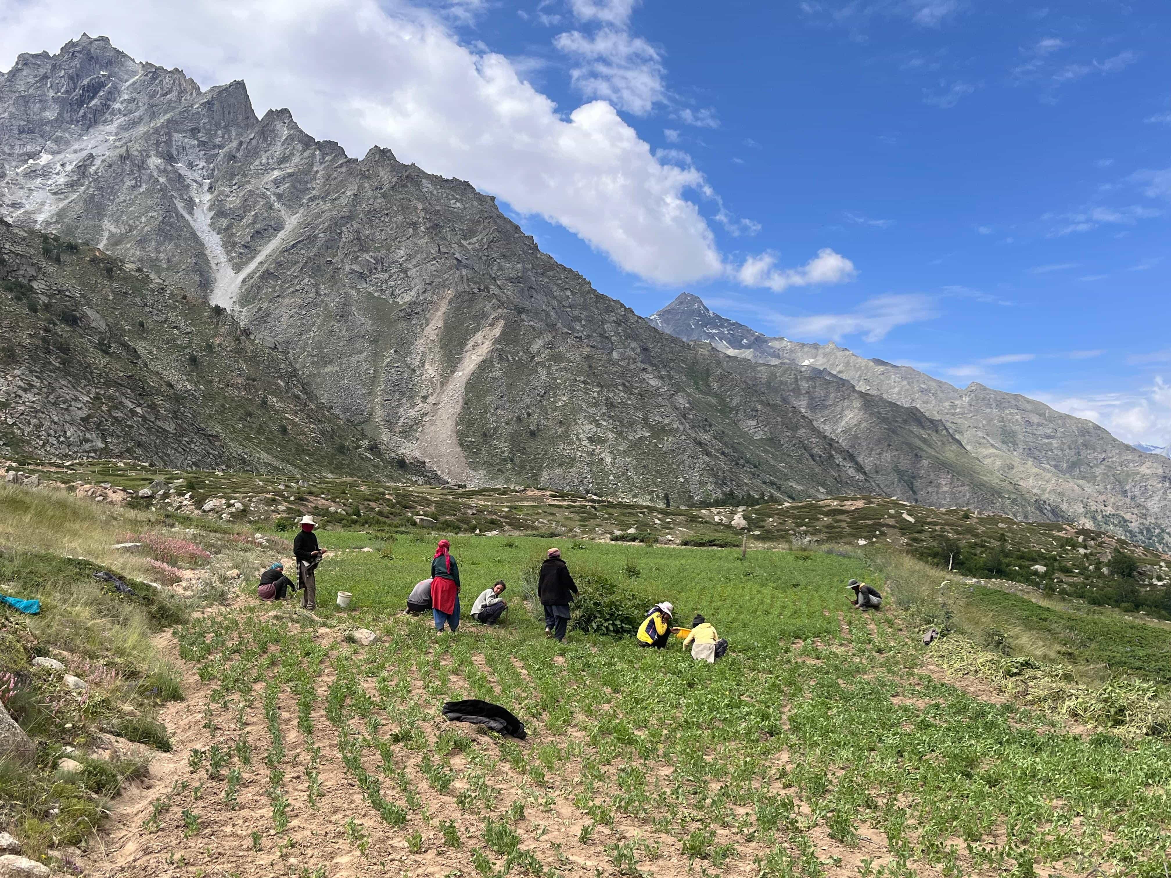
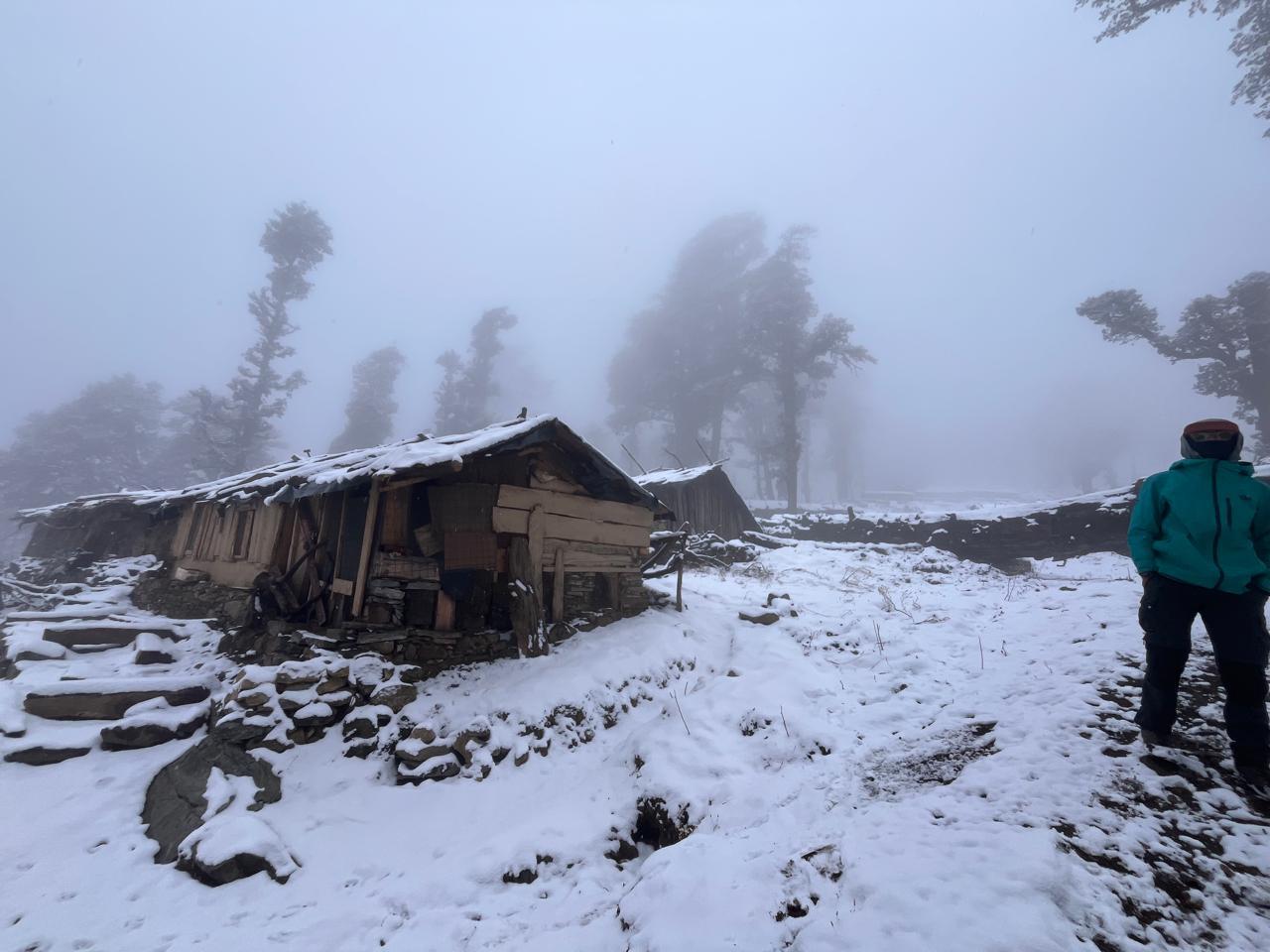
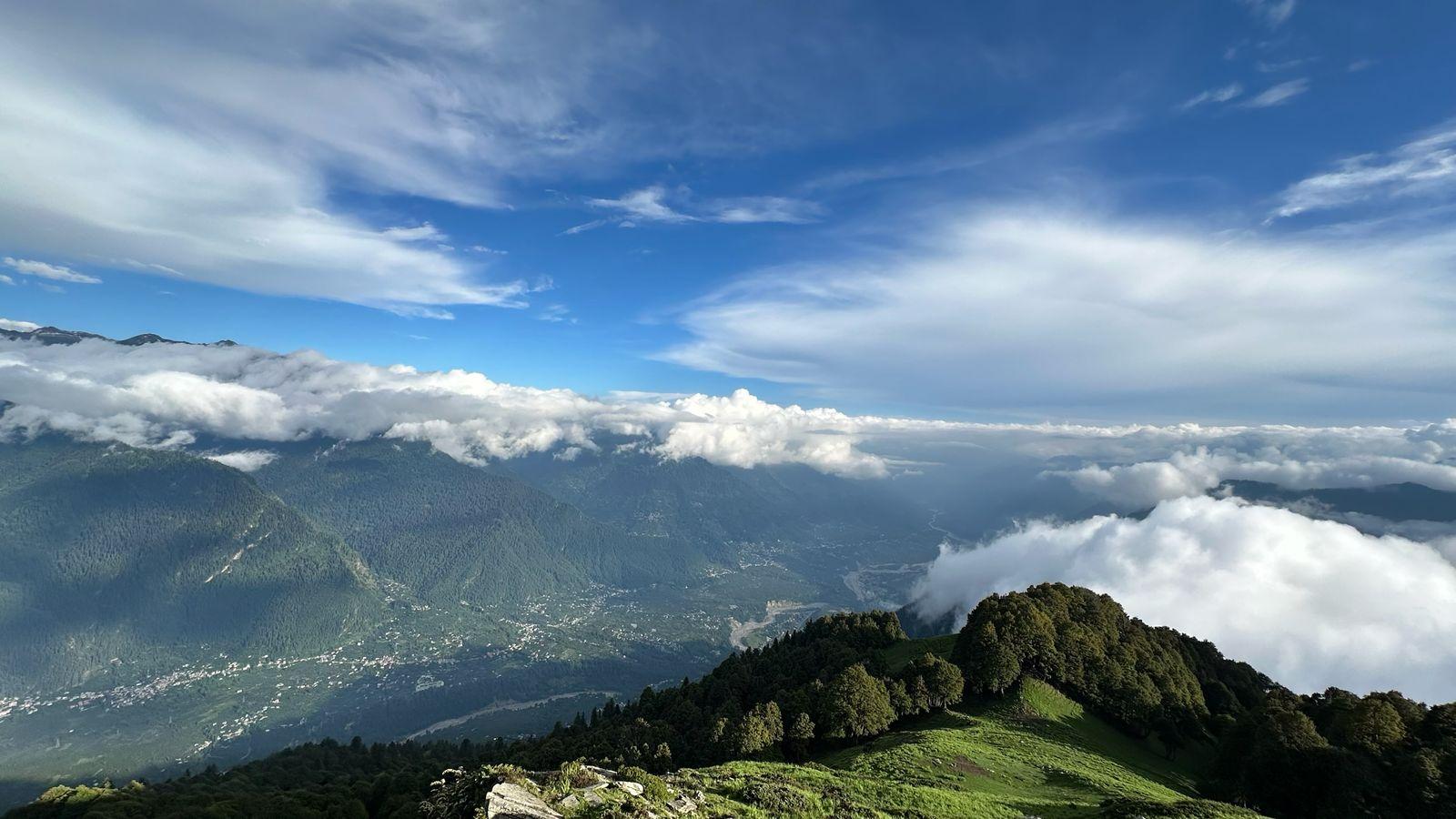
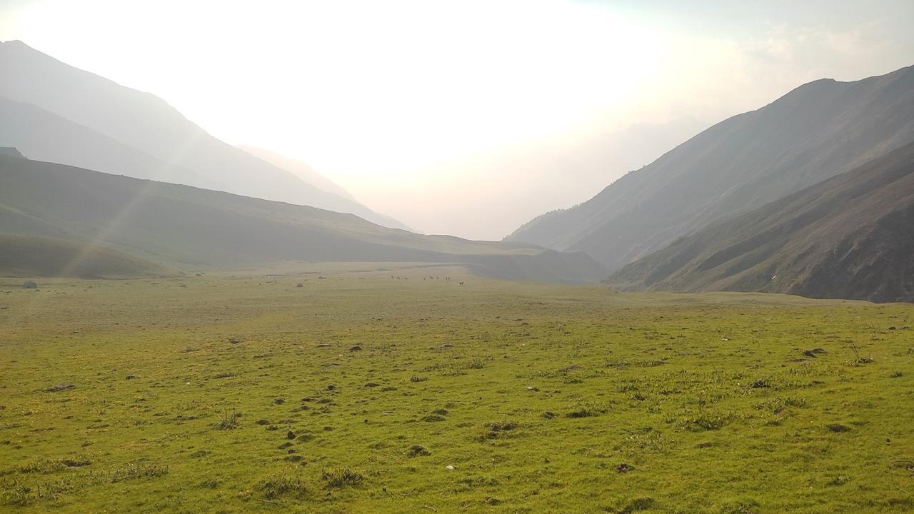
Vegetation slowly begins to return as the expedition leaves the upper glacial environment behind. The trail descends through alpine meadows and river valleys before reaching Chowki. After several demanding days, the lower altitude is often welcomed by participants.
Day 10
Rest Day at Chowki
A buffer and recovery day built into the itinerary. Depending on weather and expedition progress, this day may be used earlier in the journey. If not required, it offers an opportunity to rest, dry equipment, recover physically, and enjoy the surroundings.
Day 11
Chowki to Masar Tal
Distance: 12 km
Time: 6–7 hrs
Elevation Gain: 800 m
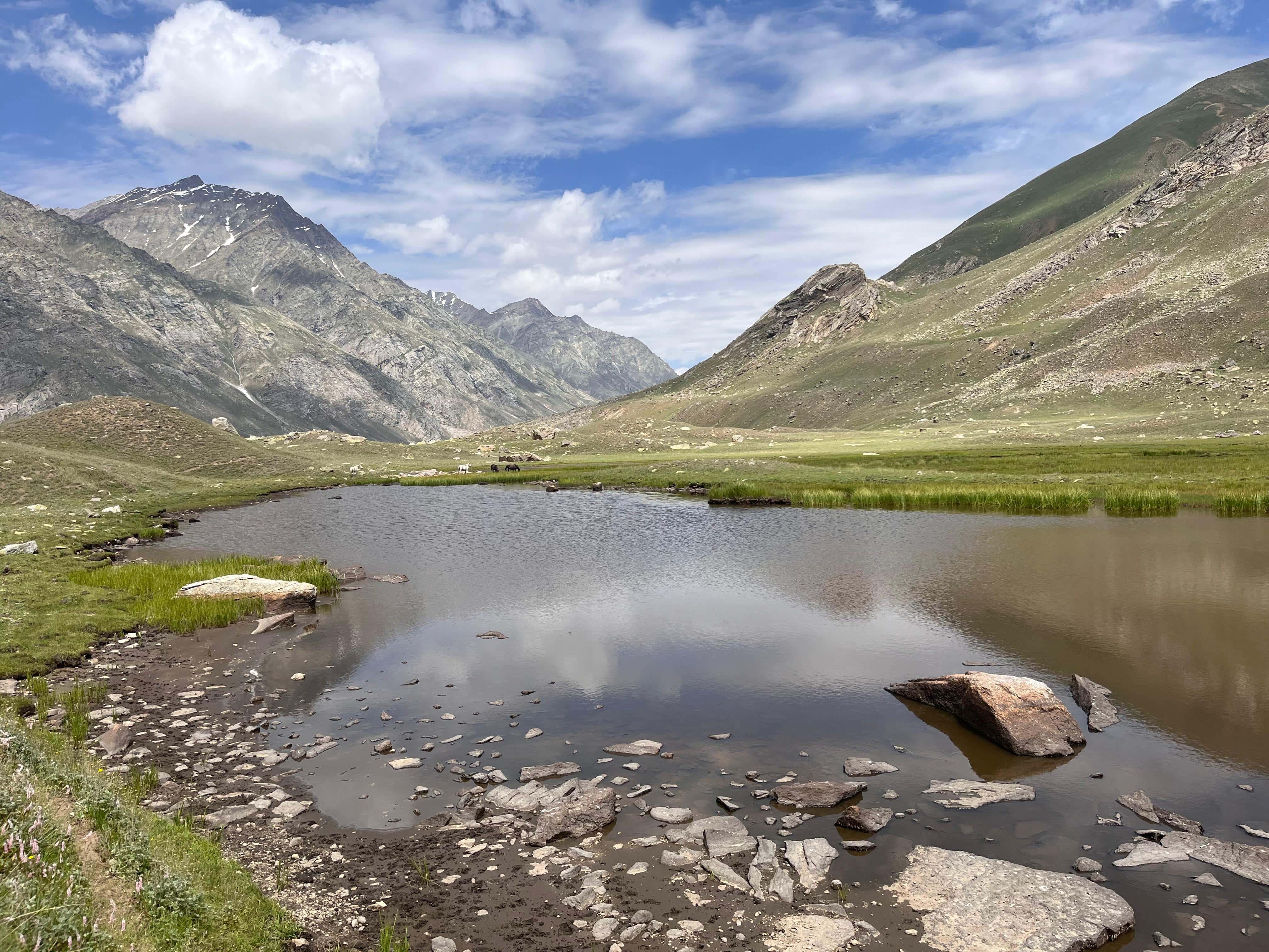
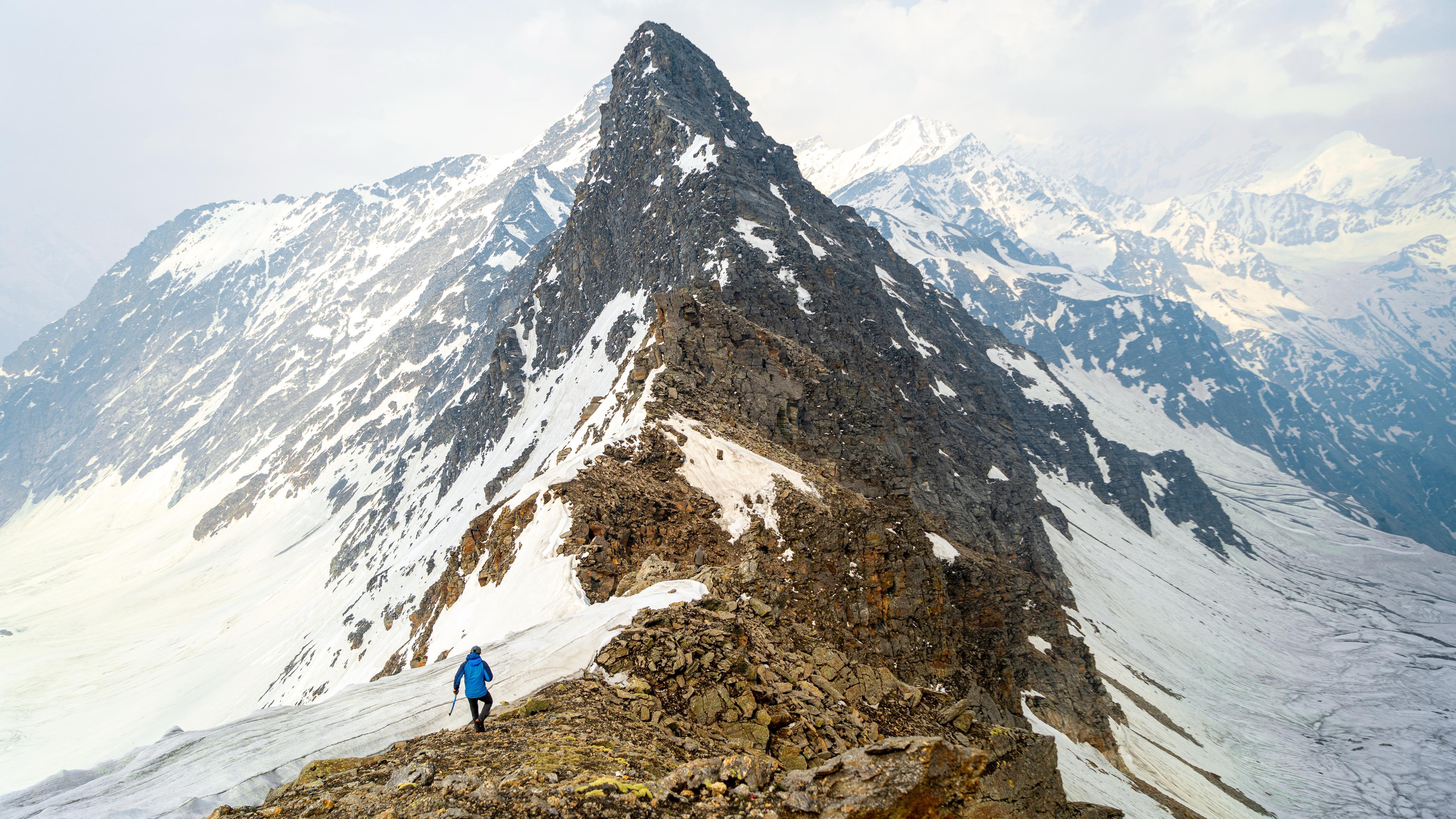
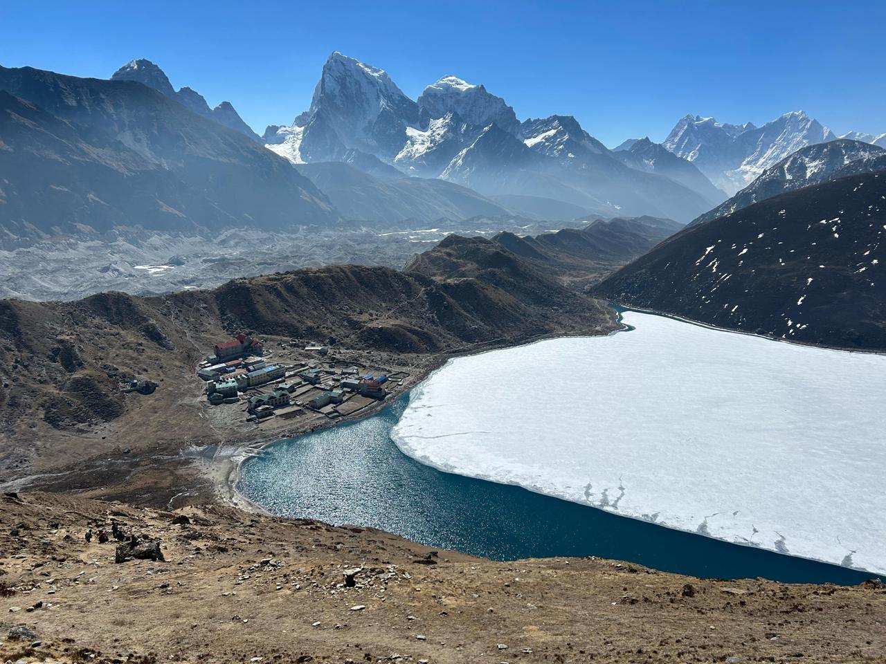
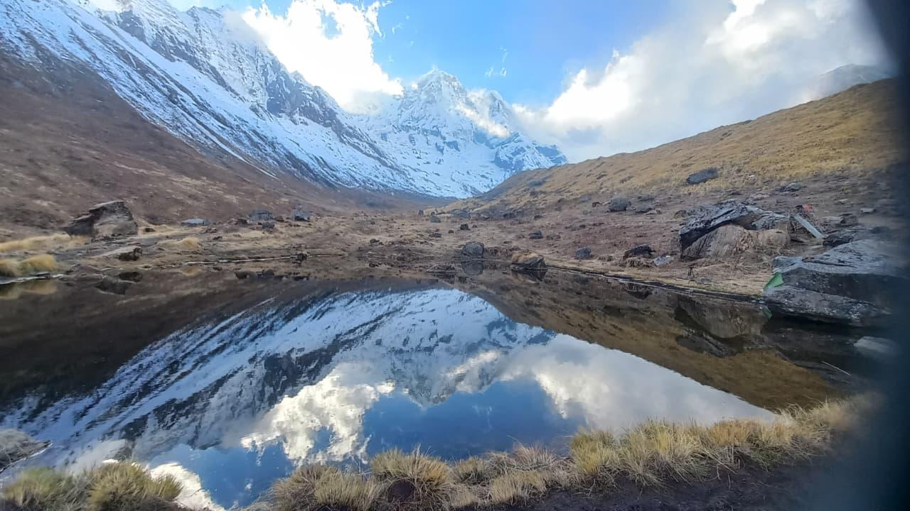
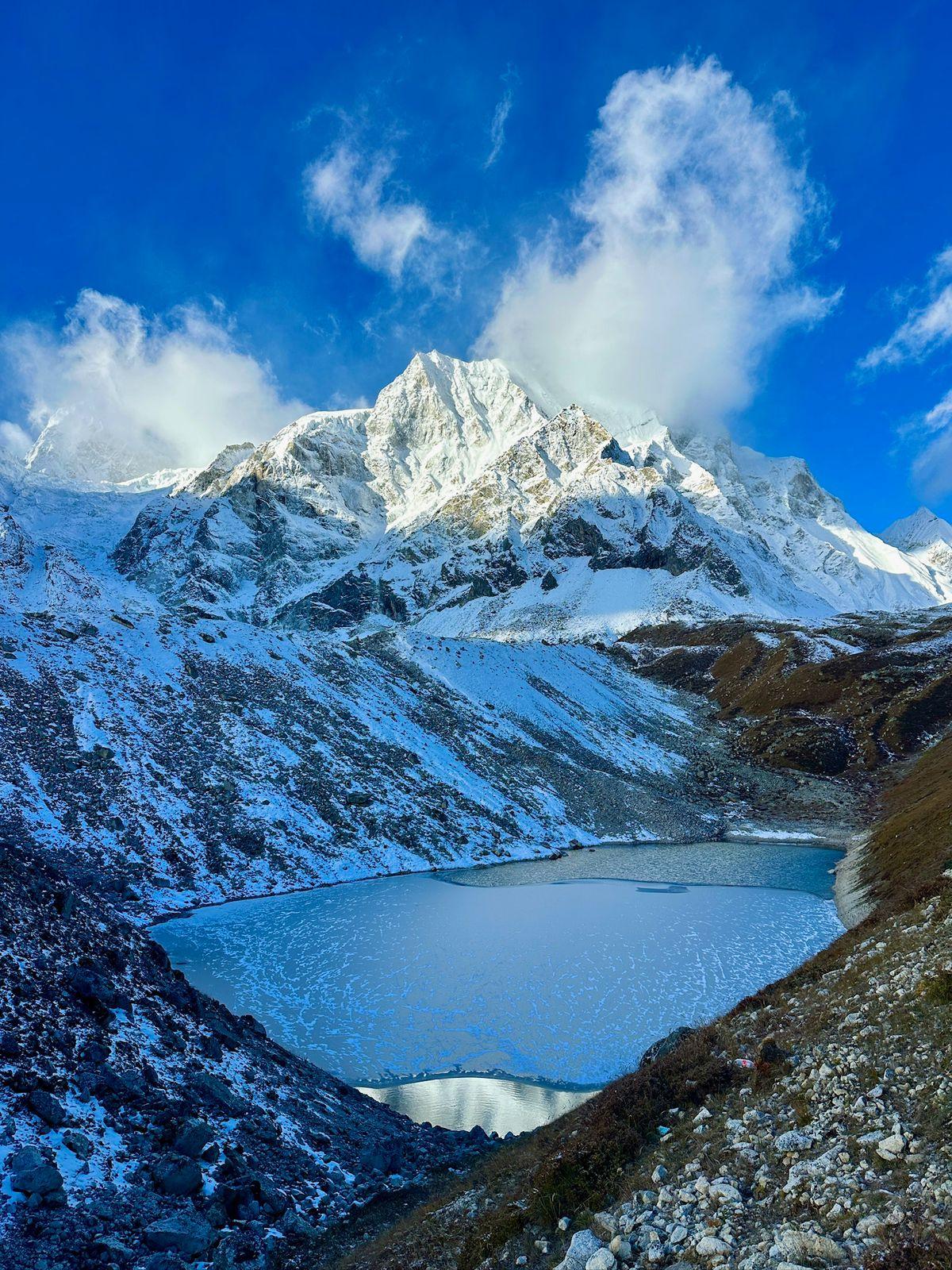
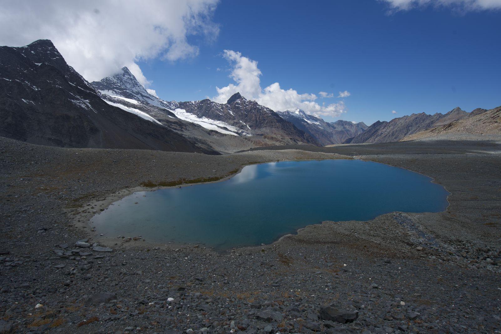
The route climbs steadily away from the valley floor toward the beautiful alpine lake of Masar Tal. The day feels very different from the glacier environment crossed earlier, with grassy slopes, open ridges, and expansive mountain views.
Day 12
Masar Tal to Vasuki Tal via Mayali Pass
Distance: 16 km
Time: 9–11 hrs
Elevation Gain: 900 m
Elevation Loss: 700 m
Another major expedition day.
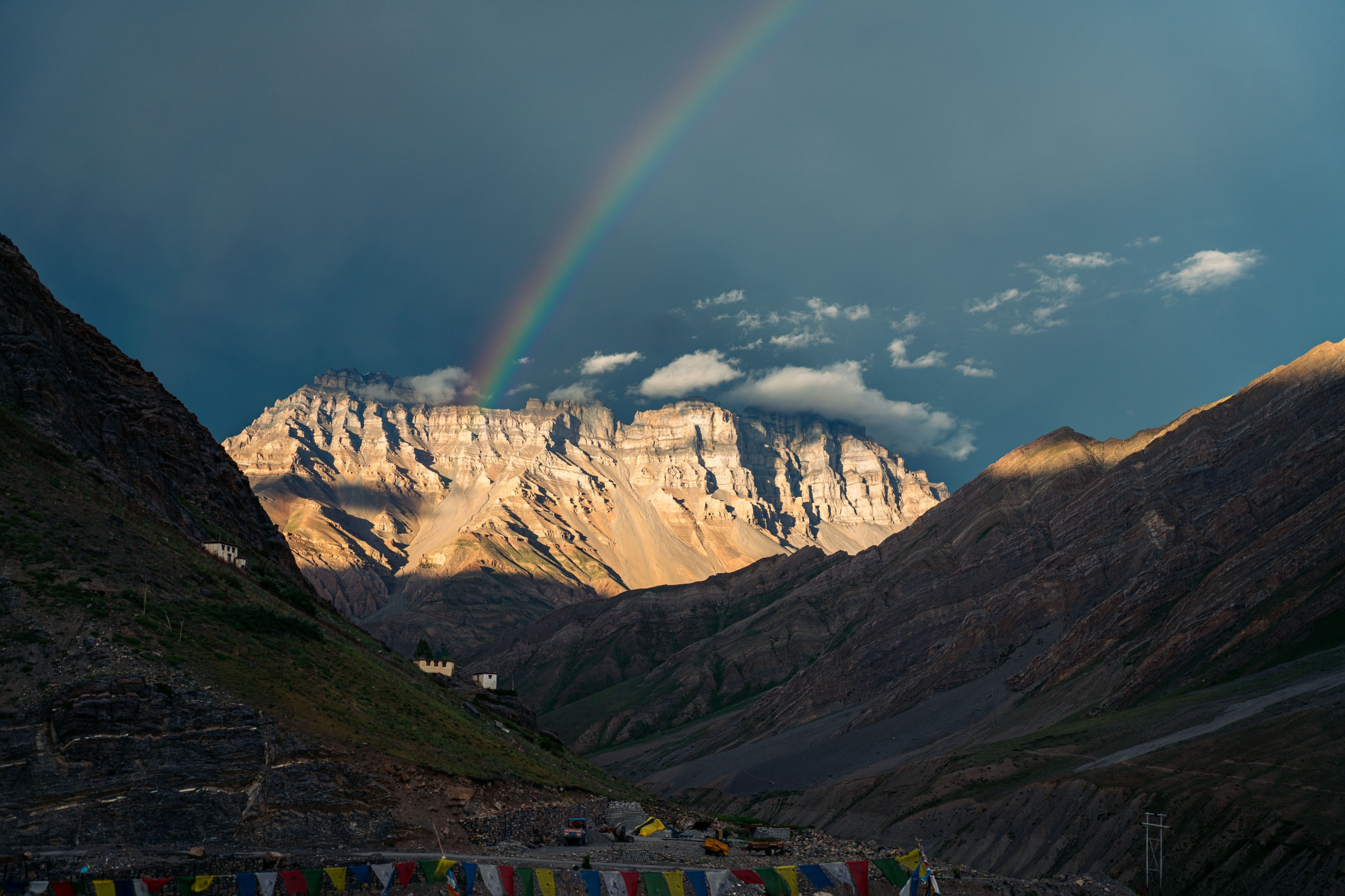
The climb to Mayali Pass is long and sustained, crossing remote high-altitude terrain rarely visited by trekkers. From the pass, the route descends toward Vasuki Tal, a spectacular glacial lake situated beneath the towering peaks of the Kedarnath region. The scenery throughout the day is exceptional.
Day 13
Vasuki Tal to Kedarnath
Distance: 8 km
Time: 4–5 hrs
Elevation Loss: 700 m
A relatively shorter day leads toward Kedarnath. After days of isolation and wilderness, the first signs of pilgrimage activity begin to appear. The transition from remote expedition terrain to one of the most important pilgrimage sites in the Himalayas is a memorable experience.
Day 14
Kedarnath to Gaurikund | Drive to Rishikesh
Distance: 16 km Trek + Drive
Time: 5–6 hrs Trek + 8–10 hrs Drive
Elevation Loss: 1,600 m
The final descent follows the established pilgrimage trail to Gaurikund. From here, a long drive returns the team to Rishikesh, bringing an end to one of the most iconic Himalayan traverses. The expedition concludes with a deep sense of accomplishment and a lasting appreciation for the scale and complexity of the Garhwal Himalayas.
Reach Rishikesh by 6pm on Day 14
Minimum Fitness Requirement
Challenging treks requires more than strength, it needs endurance, balance, and mental resilience.
Here’s what we expect:
- You should comfortably walk 10–15 km with a loaded backpack (10–12 kg) during your training hikes.
- Maintain a weekly volume of 25–30 km on trails or stairs.
- Include strength training (legs, core, shoulders) and mobility workouts 3–4 times a week.
- Practice hill climbs, stair workouts, or interval runs to build uphill stamina.
- Stay mentally prepared to face cold, long days, and high passes — risk and discomfort are part of the experience.
Previous Trekking Experience
Participants must have completed:
- At least two treks above 5,000 m within the last two years
- Prior experience of carrying a backpack for multiple consecutive days
- Experience trekking in challenging mountain environments
Treks completed many years ago should not be considered adequate preparation. Recent mountain exposure is essential.
Technical Terrain
While Auden's Col is not a technical mountaineering expedition, participants should be comfortable travelling on:
- Glacier terrain
- Loose moraine
- Boulder fields
- Snow slopes
- Exposed traverses
Safety & Preparation
Safety begins well before the expedition. Participants receive fitness guidelines, gear consultation, packing support, and pre-expedition briefings to ensure they arrive physically and mentally prepared for the demands of Auden's Col.
During the expedition, we maintain a 1:2 guide-to-participant ratio and carry ropes, technical equipment, medical kits, oxygen support, satellite communication devices, and emergency safety equipment. The team is supported by experienced guides, kitchen staff, and porters, allowing for efficient camp management and emergency response when required.
Our approach is simple: monitor participants closely, make conservative decisions, and prioritize safety over objectives at every stage of the expedition.
Inclusion
Exclusion
SELECT DATE TO REGISTER


Thank You!
Your form has been submitted successfully. We'll get back to you soon.
₹ 109,000 + 5% GST