


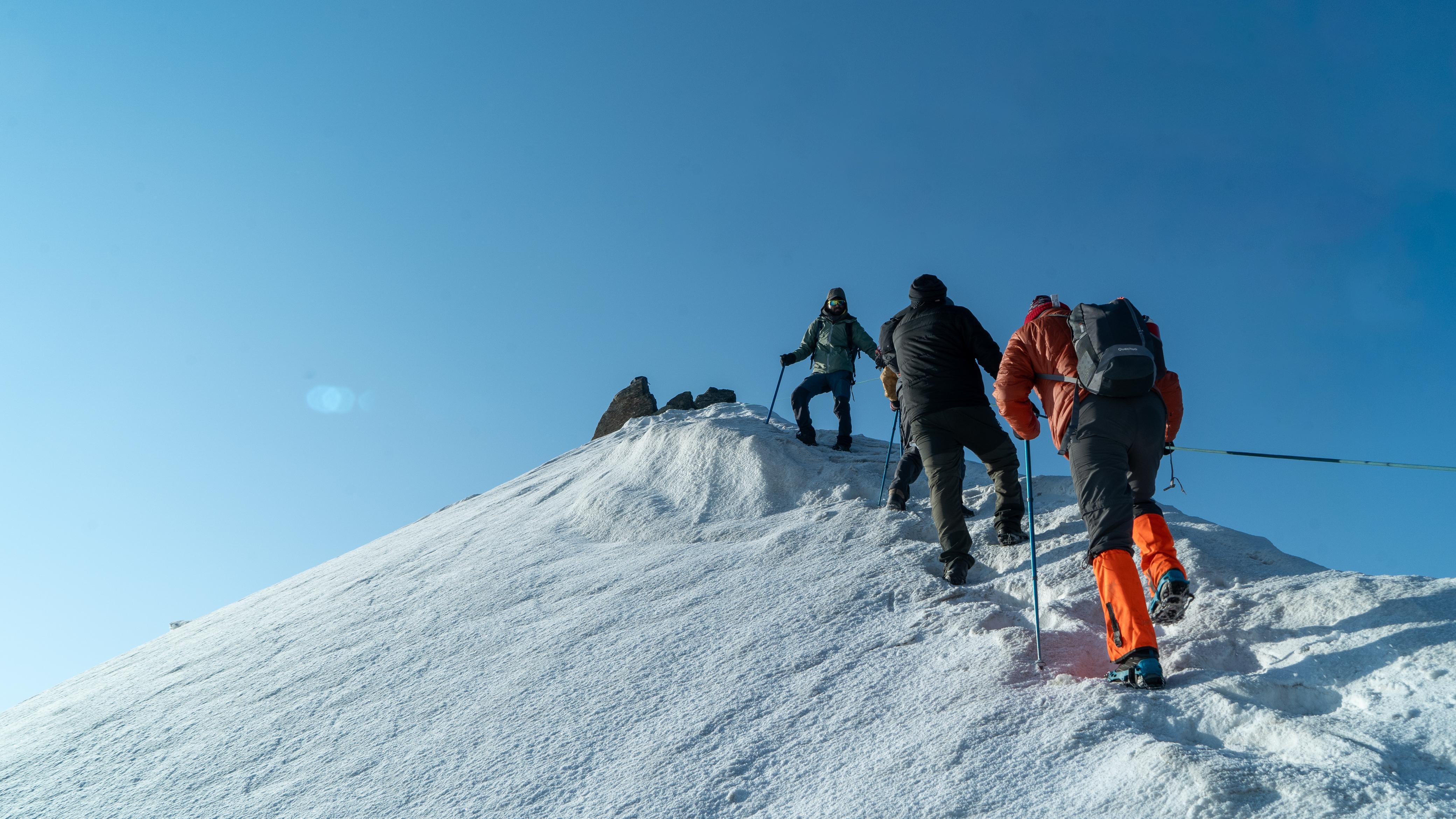
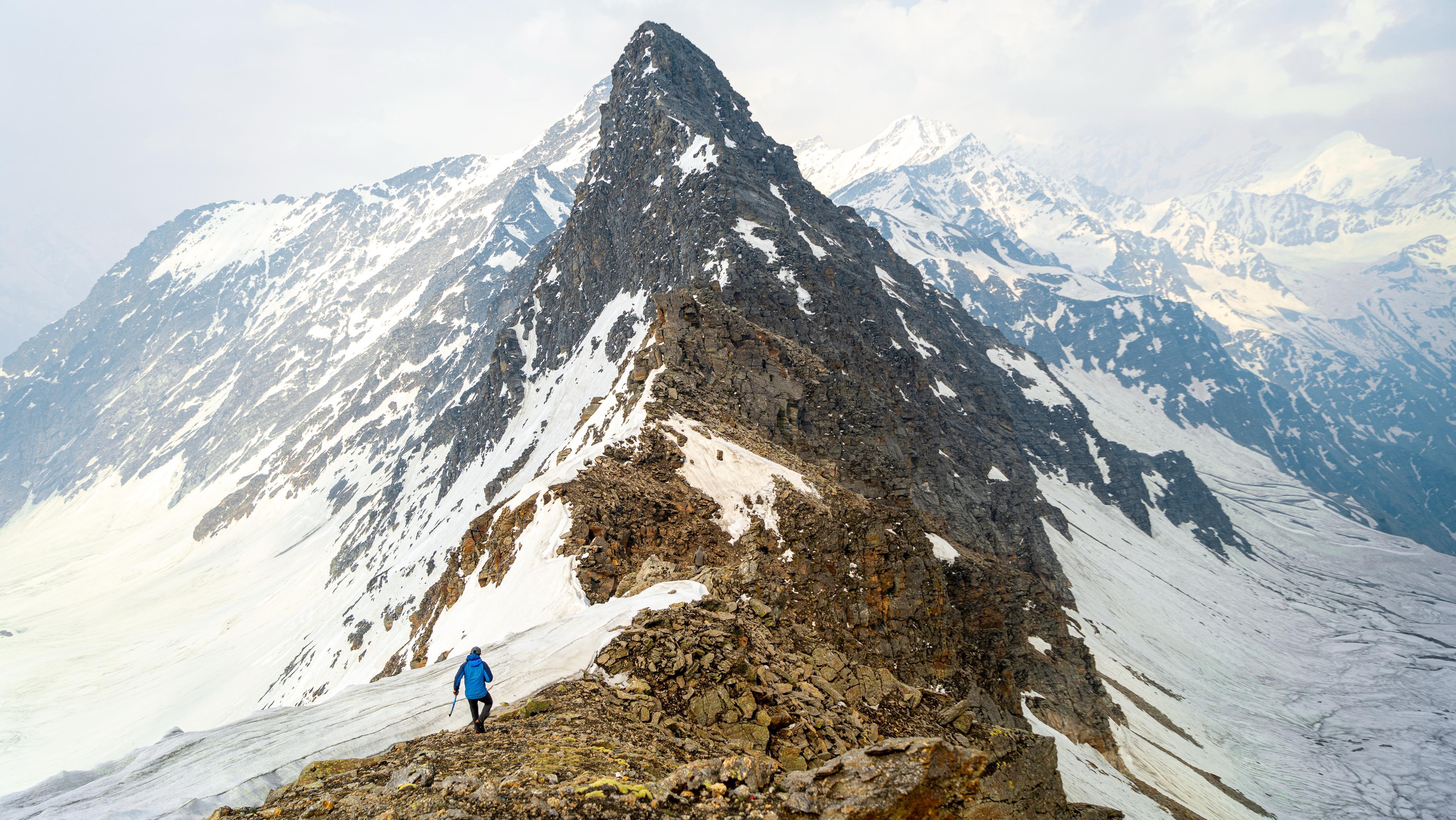
The Ali Bedni Bugyal Trek is a journey across some of the most celebrated high-altitude meadows in Uttarakhand. Unlike rugged peak expeditions, this trail offers openness rather than exposure, space rather than steepness, and scale without technical demand.
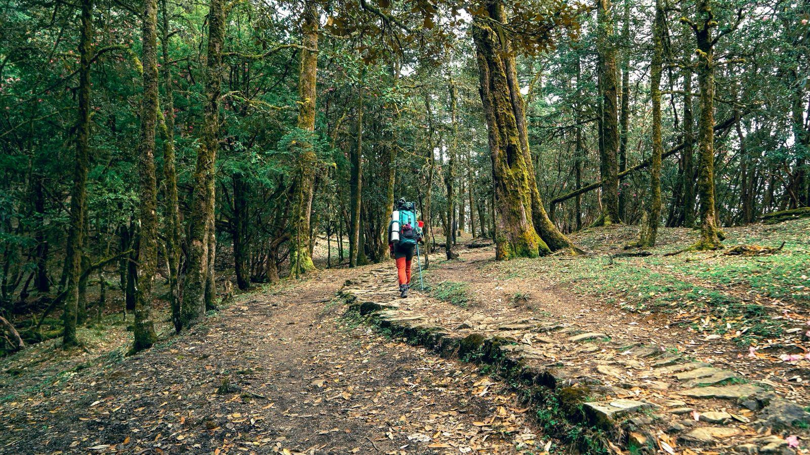
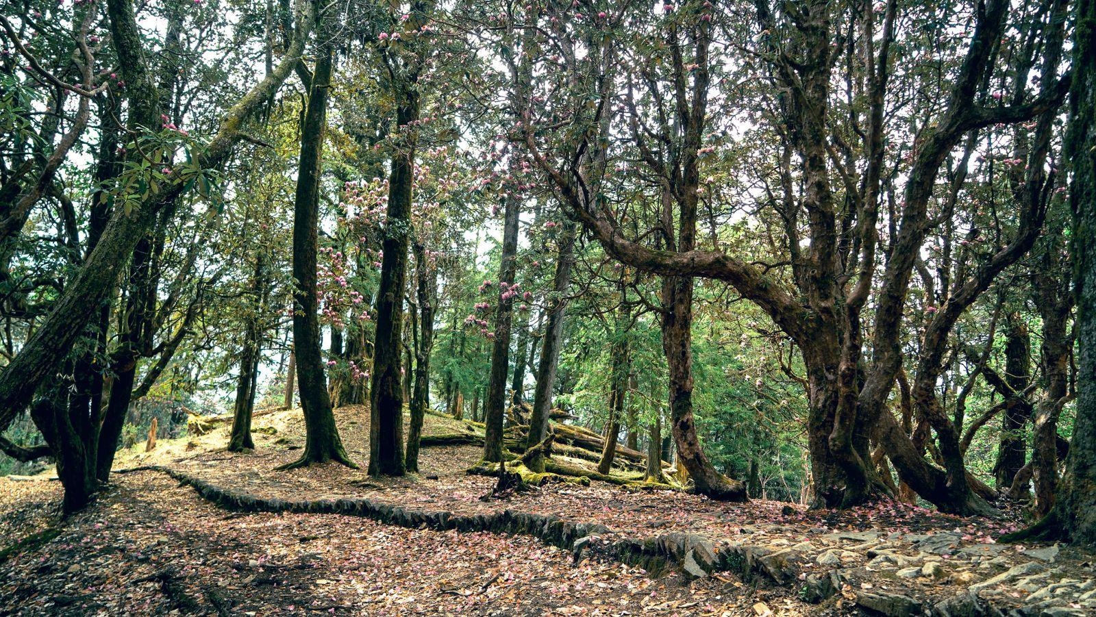
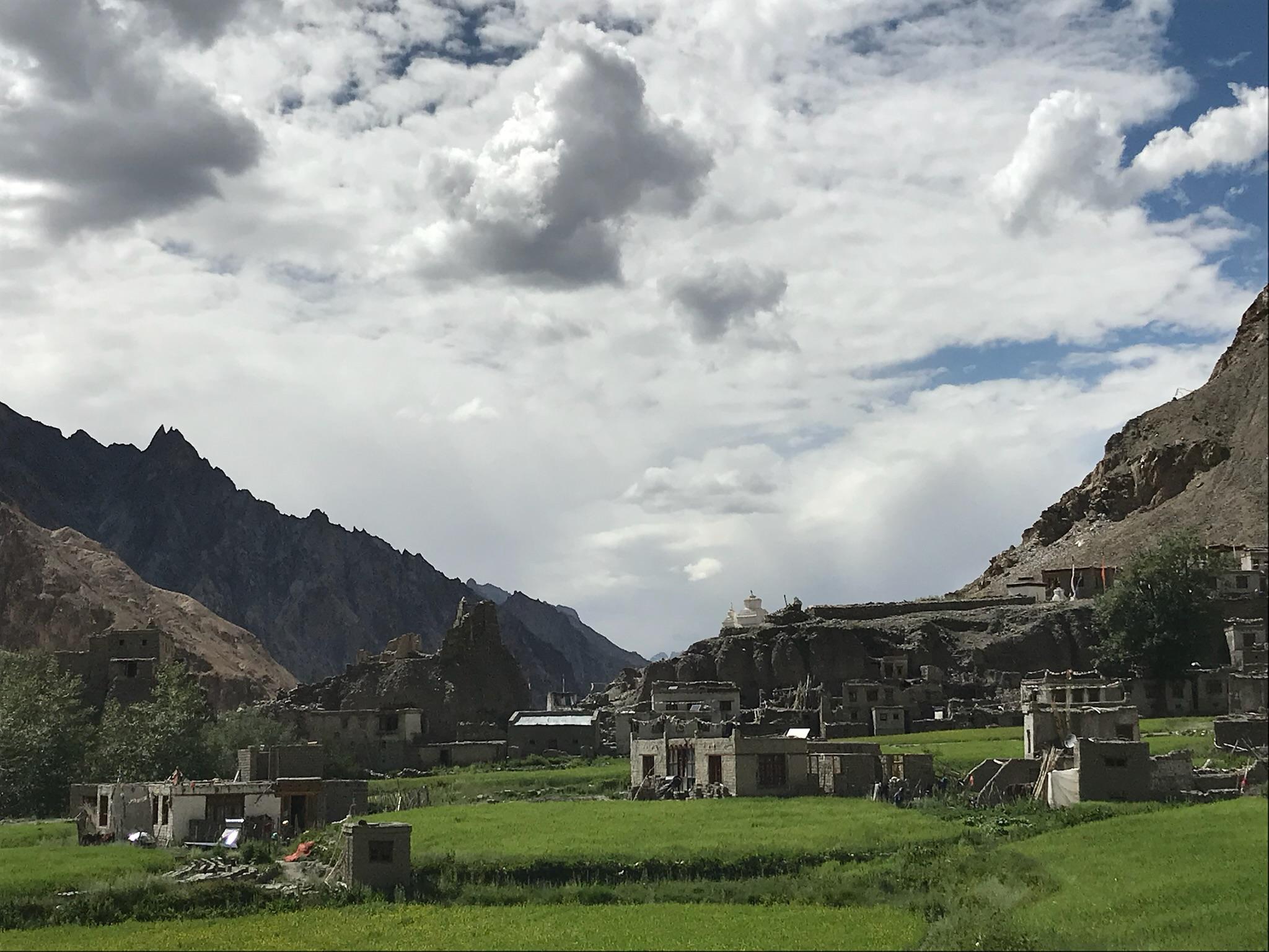
The trek begins in Lohajung, a small mountain settlement that quietly serves as a gateway to the Roopkund and Bedni region. From here, the trail gradually leaves behind road access and moves into traditional Garhwali village life before entering oak and rhododendron forests. The ascent is steady and patient, allowing the body to adjust while the landscape transforms.
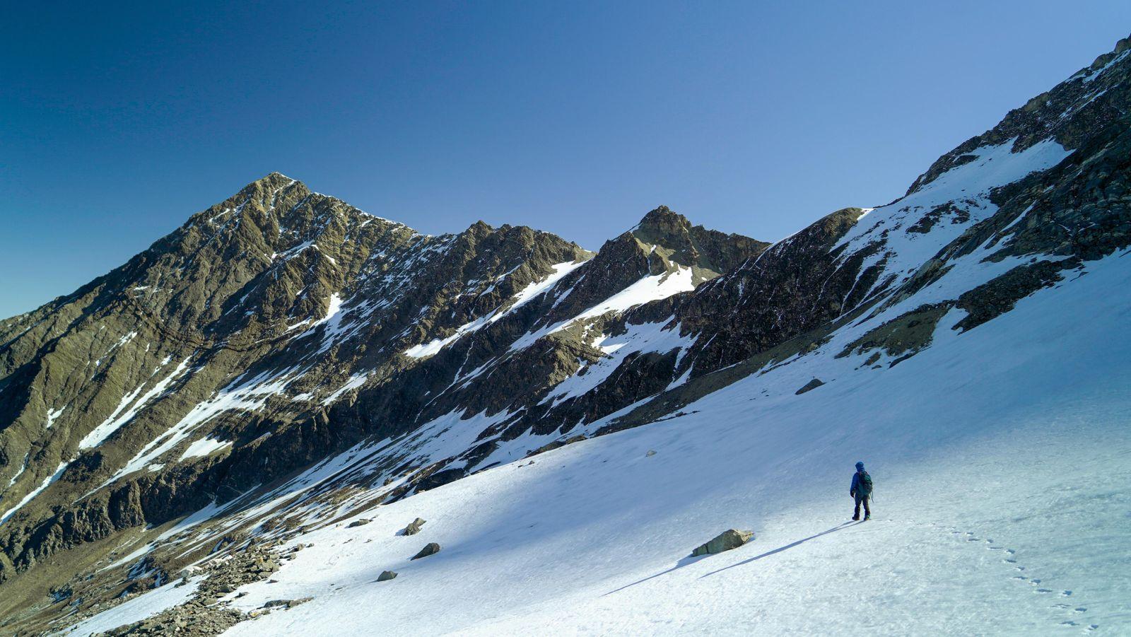
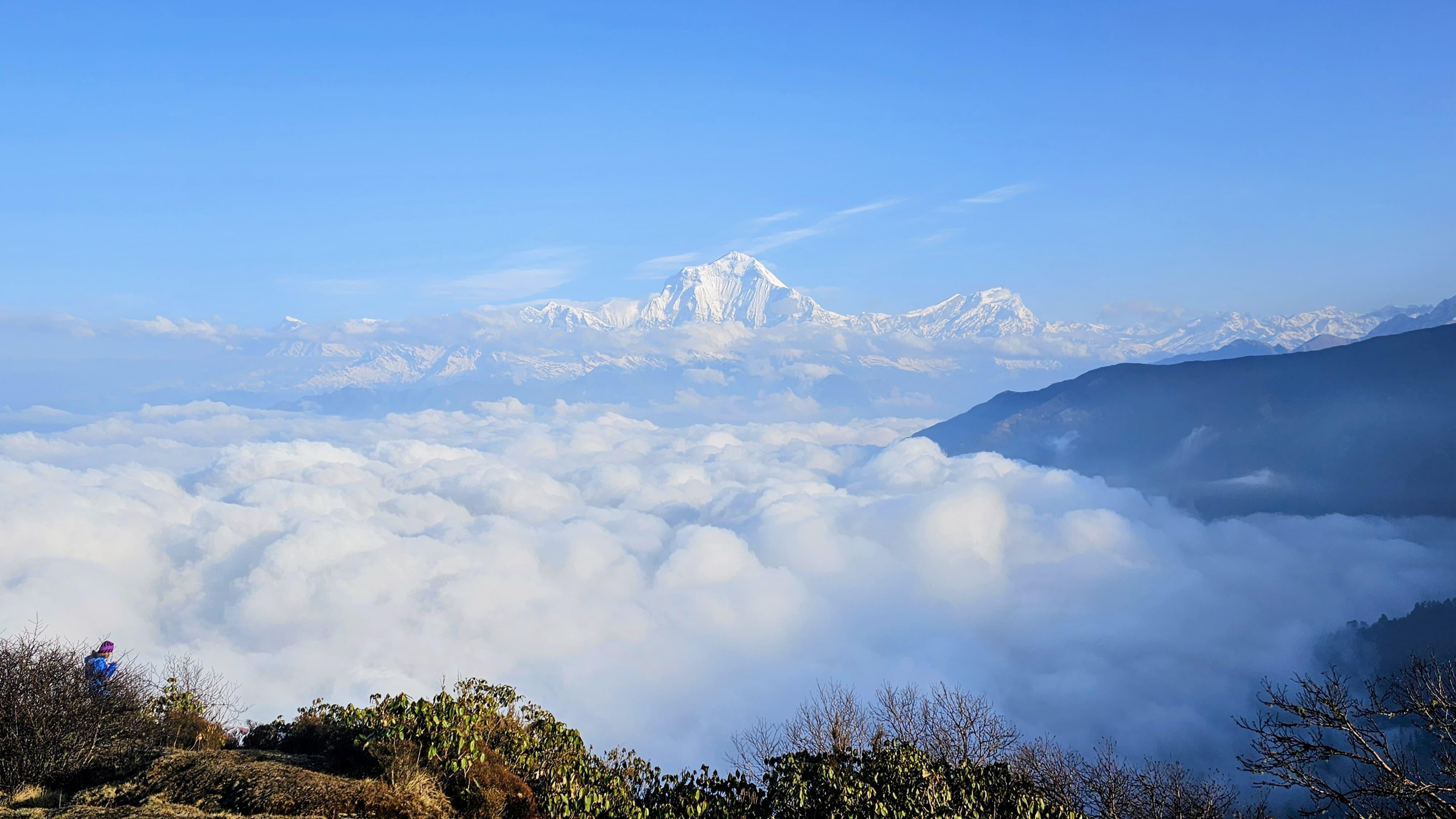
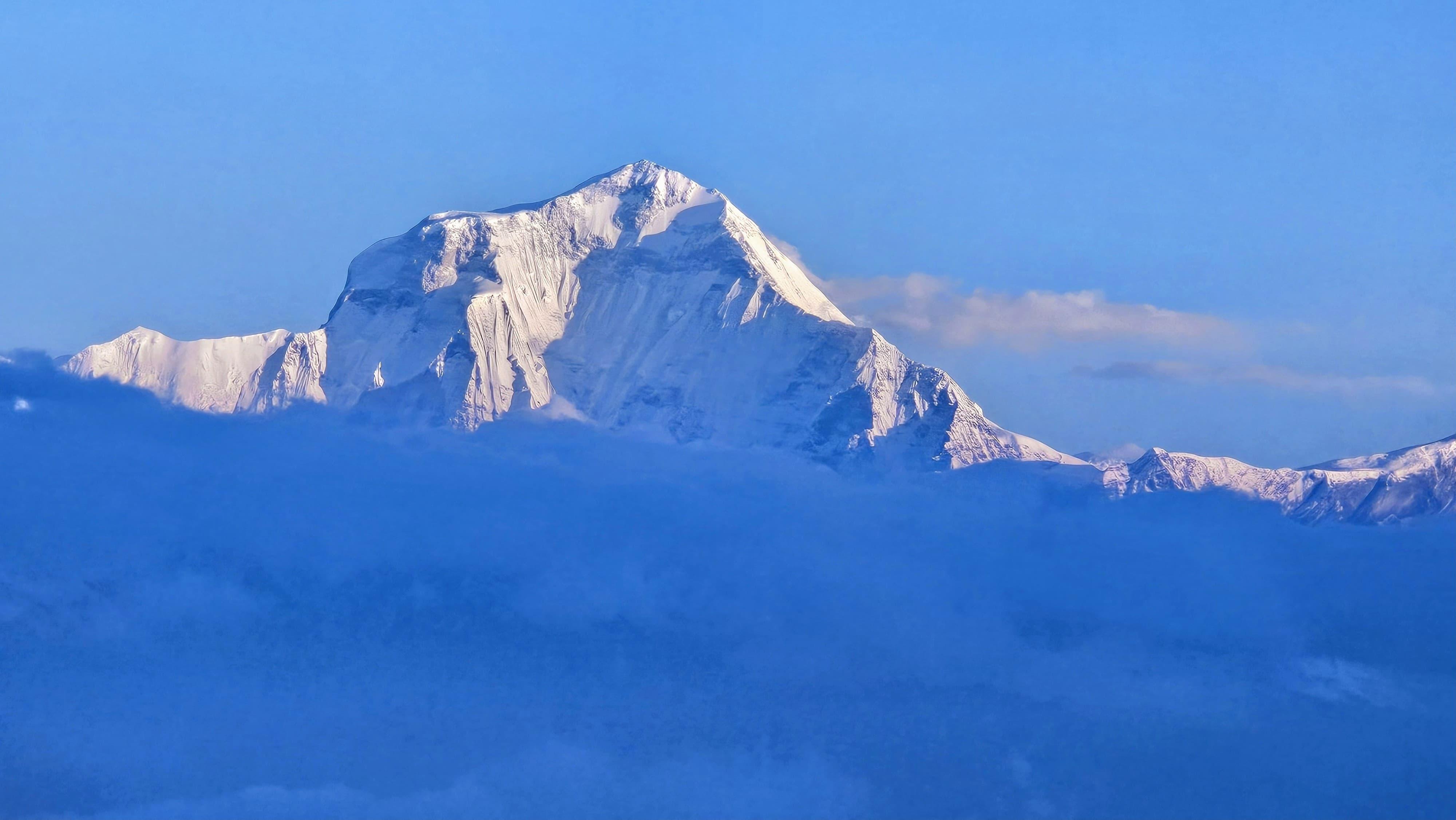
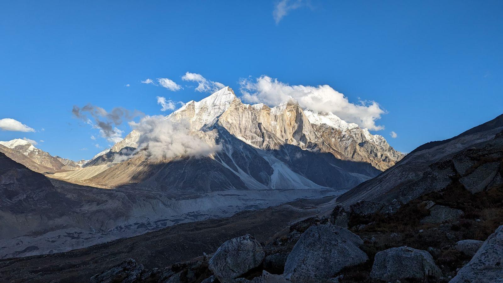
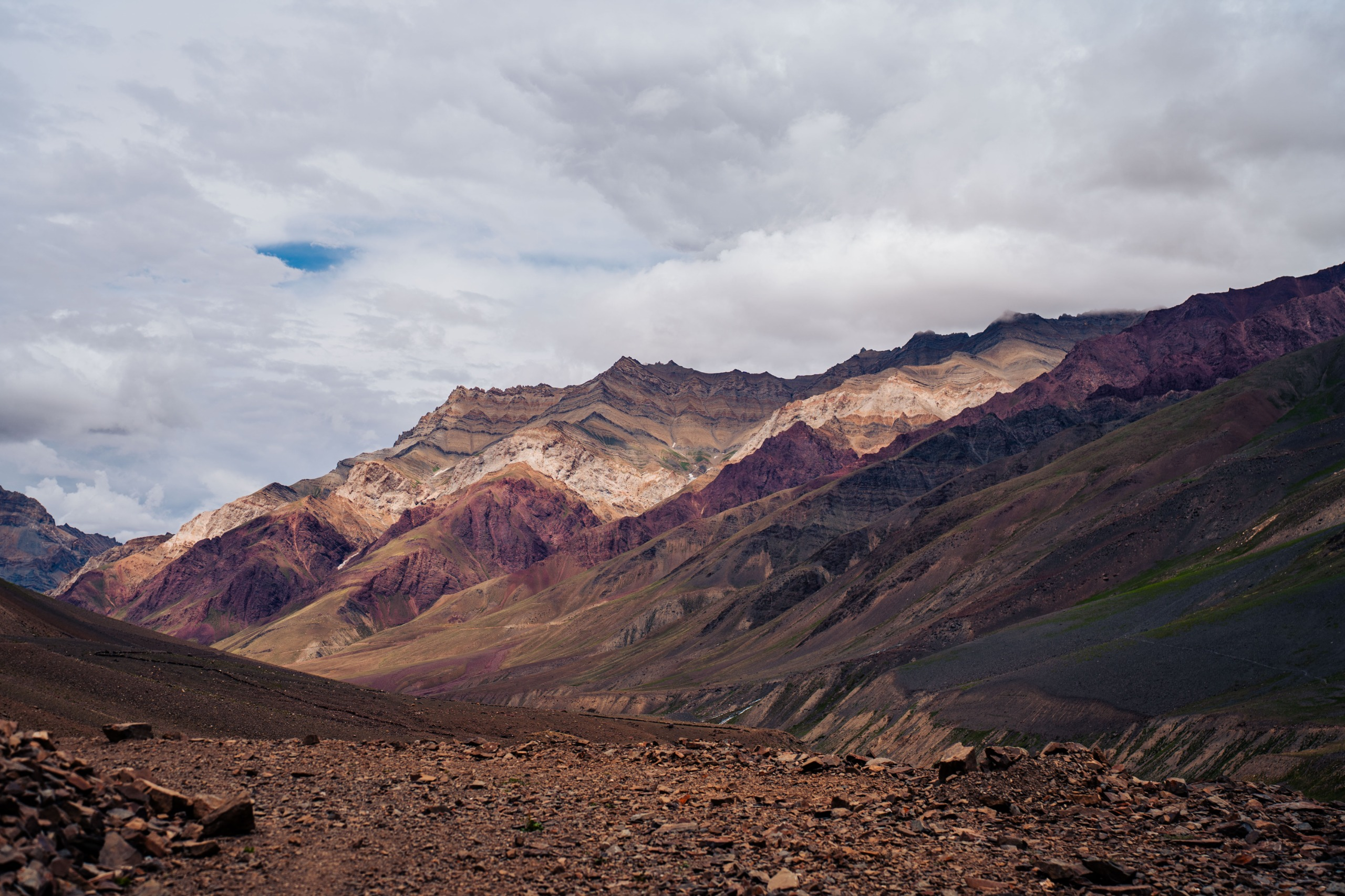
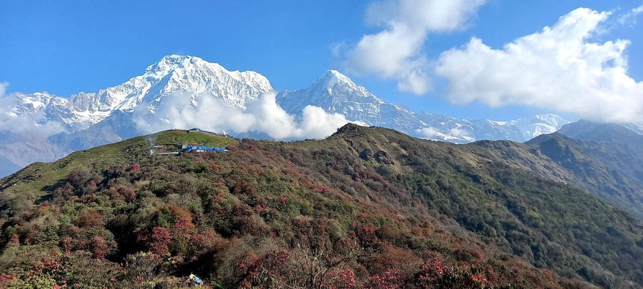
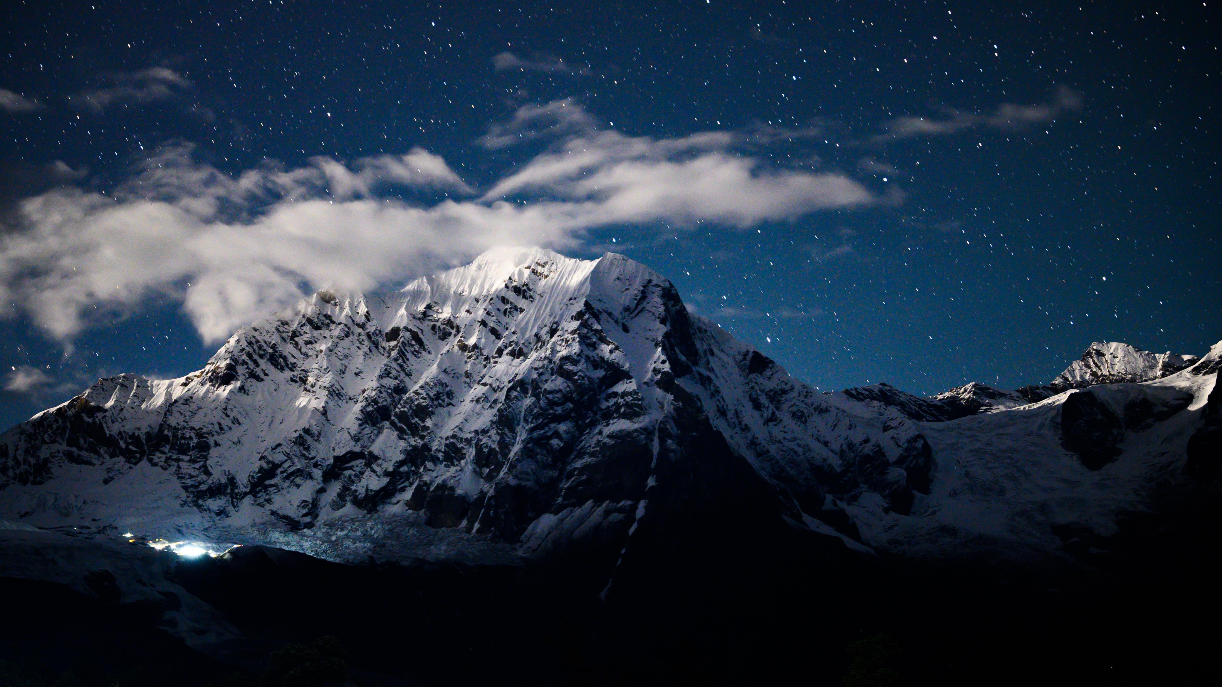
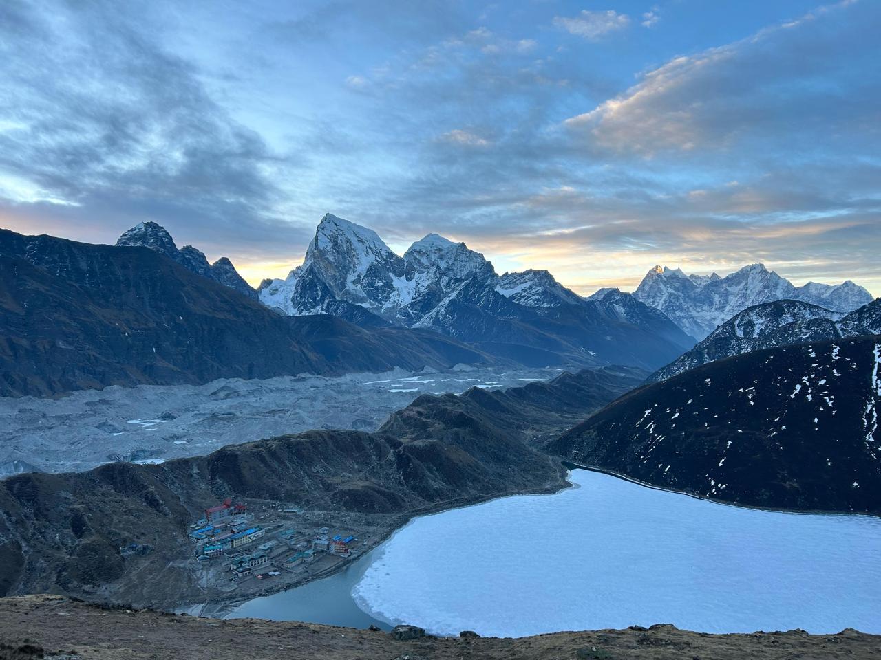
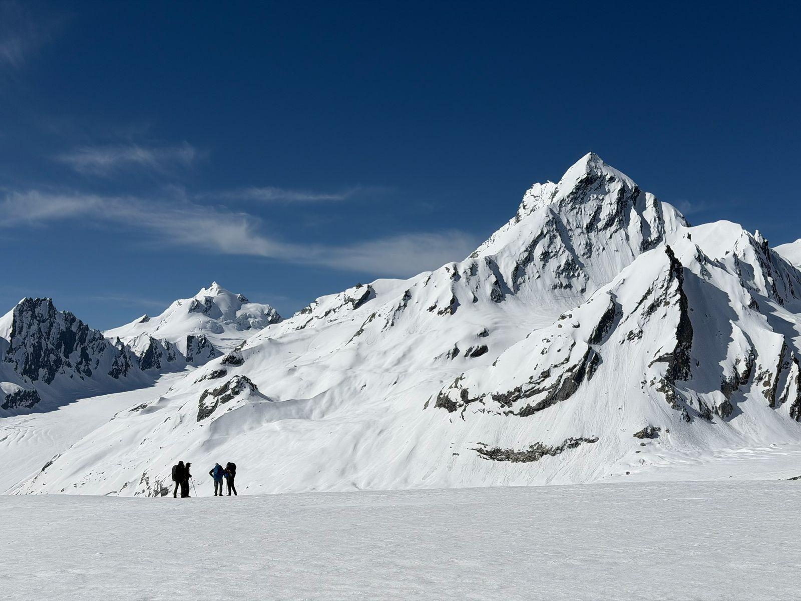
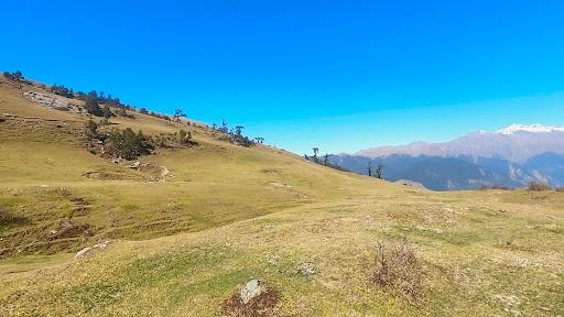
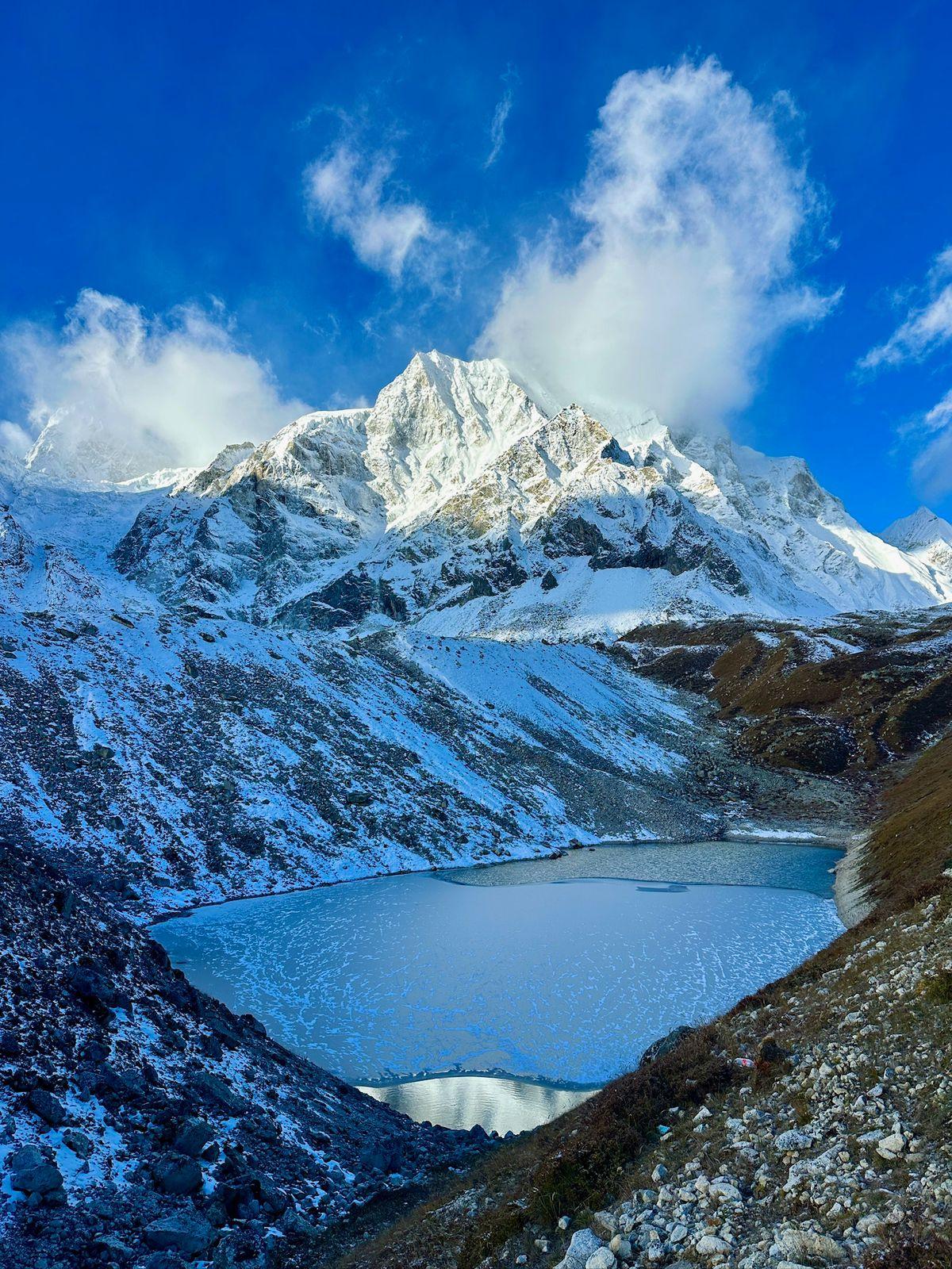
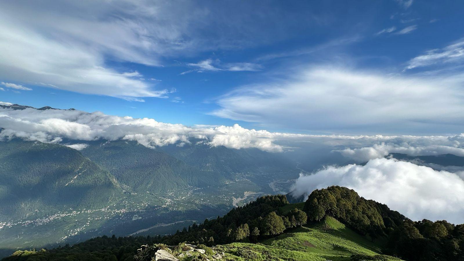
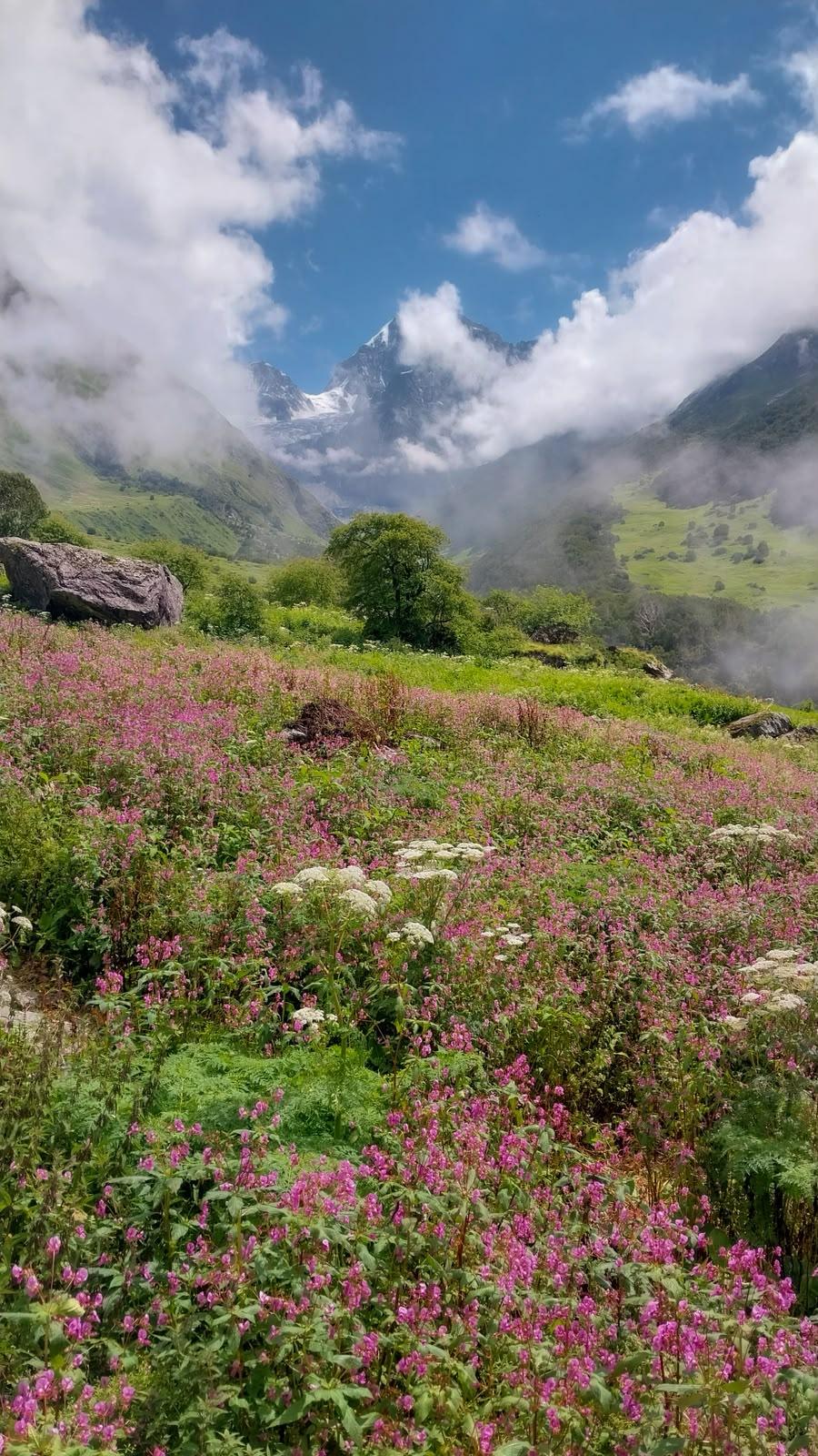
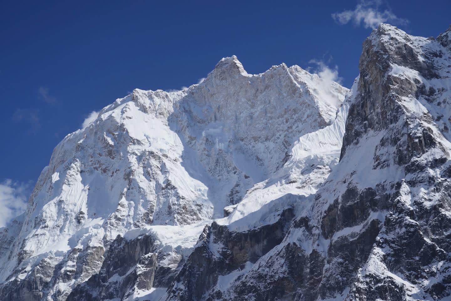
As the forest thins, the terrain opens into Ali Bugyal. The first sight of these meadows is often unexpected in its magnitude. The grasslands roll in gentle waves under an expansive sky, framed by the snow-clad faces of Trishul and Nanda Ghunti. There is a sense of scale here that feels almost oceanic, except the waves are green and the horizon is defined by Himalayan peaks.
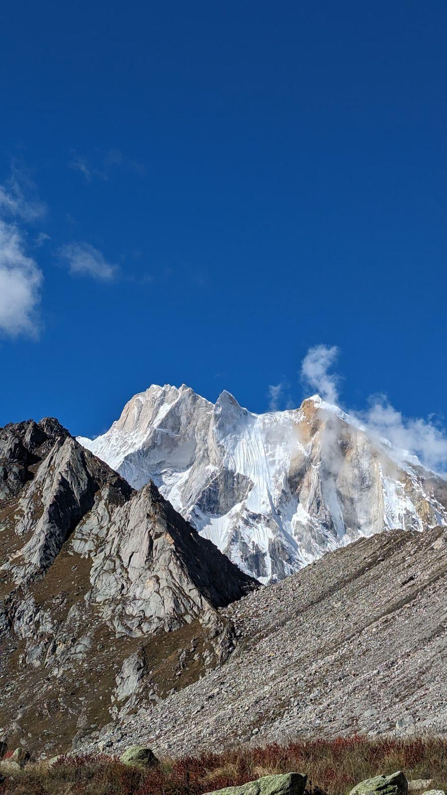
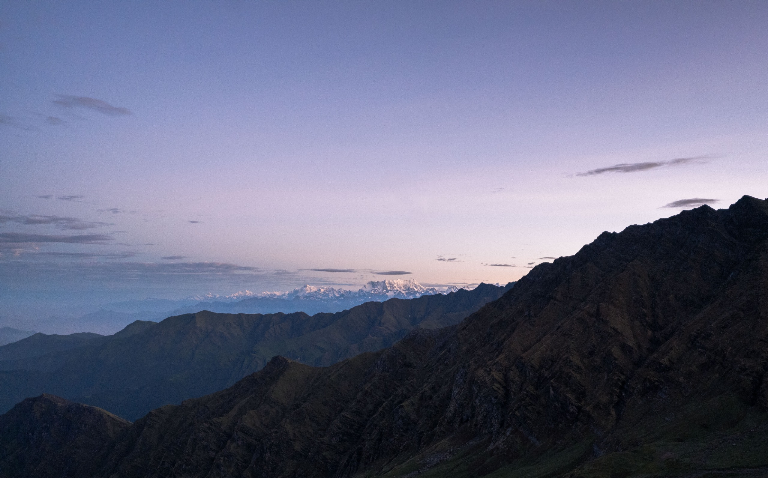
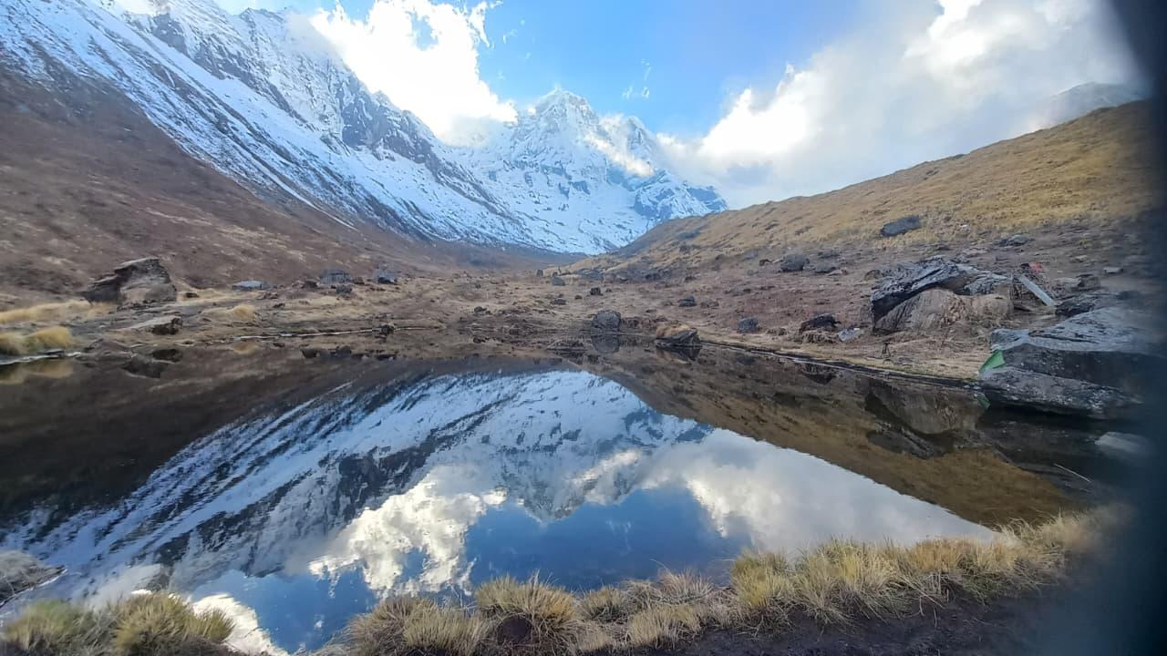
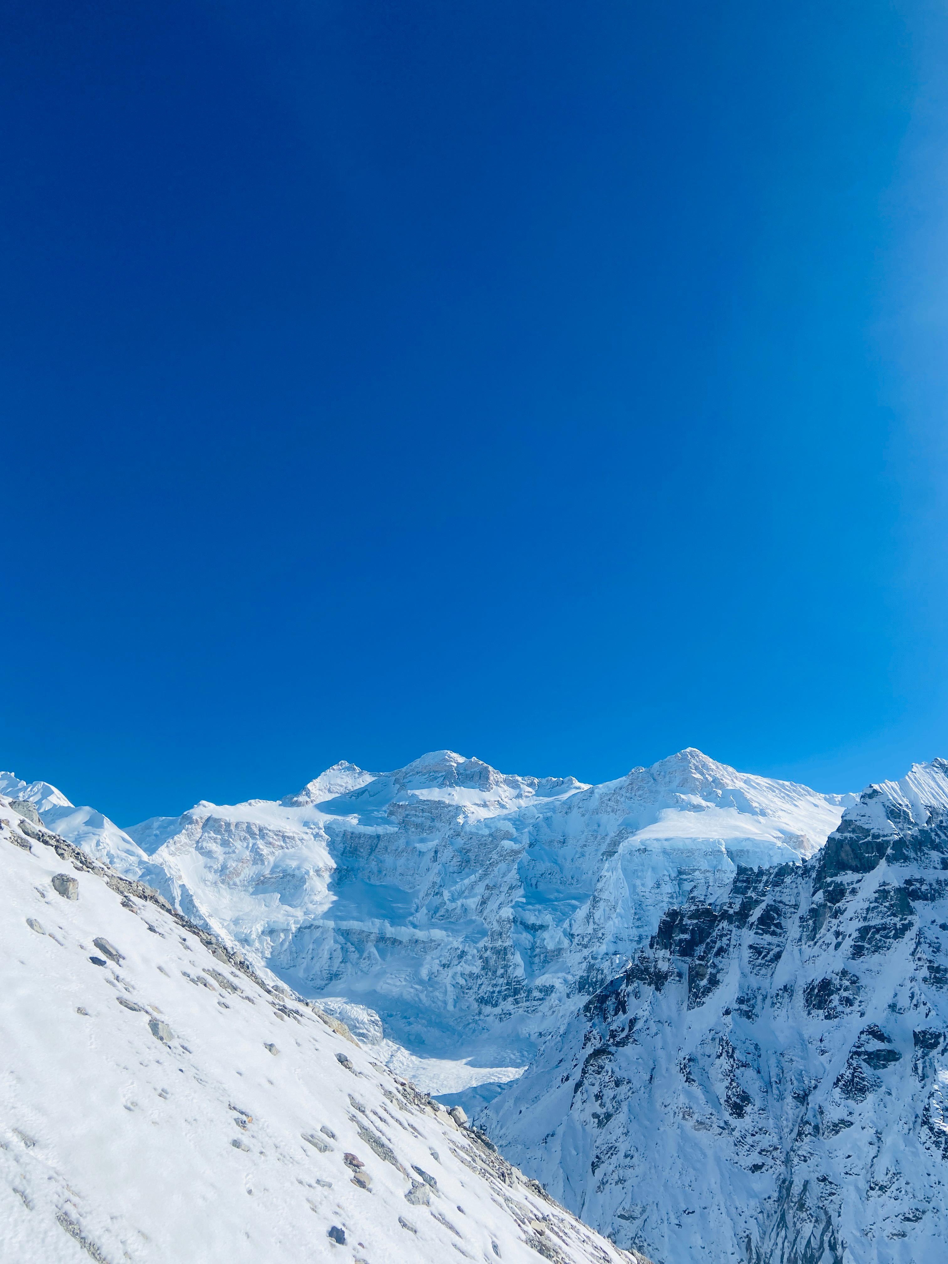
The route continues to Bedni Top, where a small temple stands quietly against a vast backdrop of mountains. From this vantage point, the Garhwal Himalaya reveals itself in clarity and proportion. The descent through Ghairoli Patal and Wan completes the circular journey, bringing the expedition back through forested terrain and village paths.
Ali Bedni Bugyal is not about summiting a peak. It is about walking through openness, absorbing distance, and understanding how the Himalayas can feel both grand and gentle at the same time.
Day 1
Drive from Rishikesh to Lohajung
Trek Distance: 210 Kms
Time Taken: 8 to 9 hours drive
Elevation Gain: from 372 m to 2,300 m
We start from at 05:00 AM from Tapovan, in RIshikesh.
The drive from Rishikesh follows the Alaknanda River through Devprayag and Karnaprayag before climbing steadily toward Lohajung. The transition from river valley to mountain settlement is gradual but distinct. By late afternoon, Lohajung appears perched on a ridge with distant views of Nanda Ghunti. A briefing and equipment check prepare the team for the trek ahead.
Day 2
Trek from Lohajung to Didina
Trek Distance: 7 km
Time Taken: 4 to 5 hours
Elevation Gain: from 2,300 m to 2,450 m
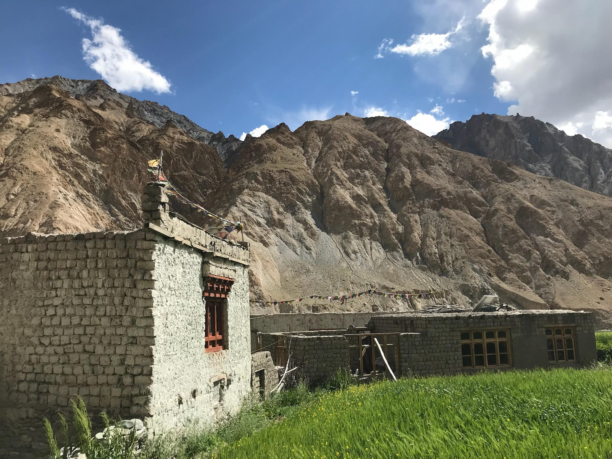
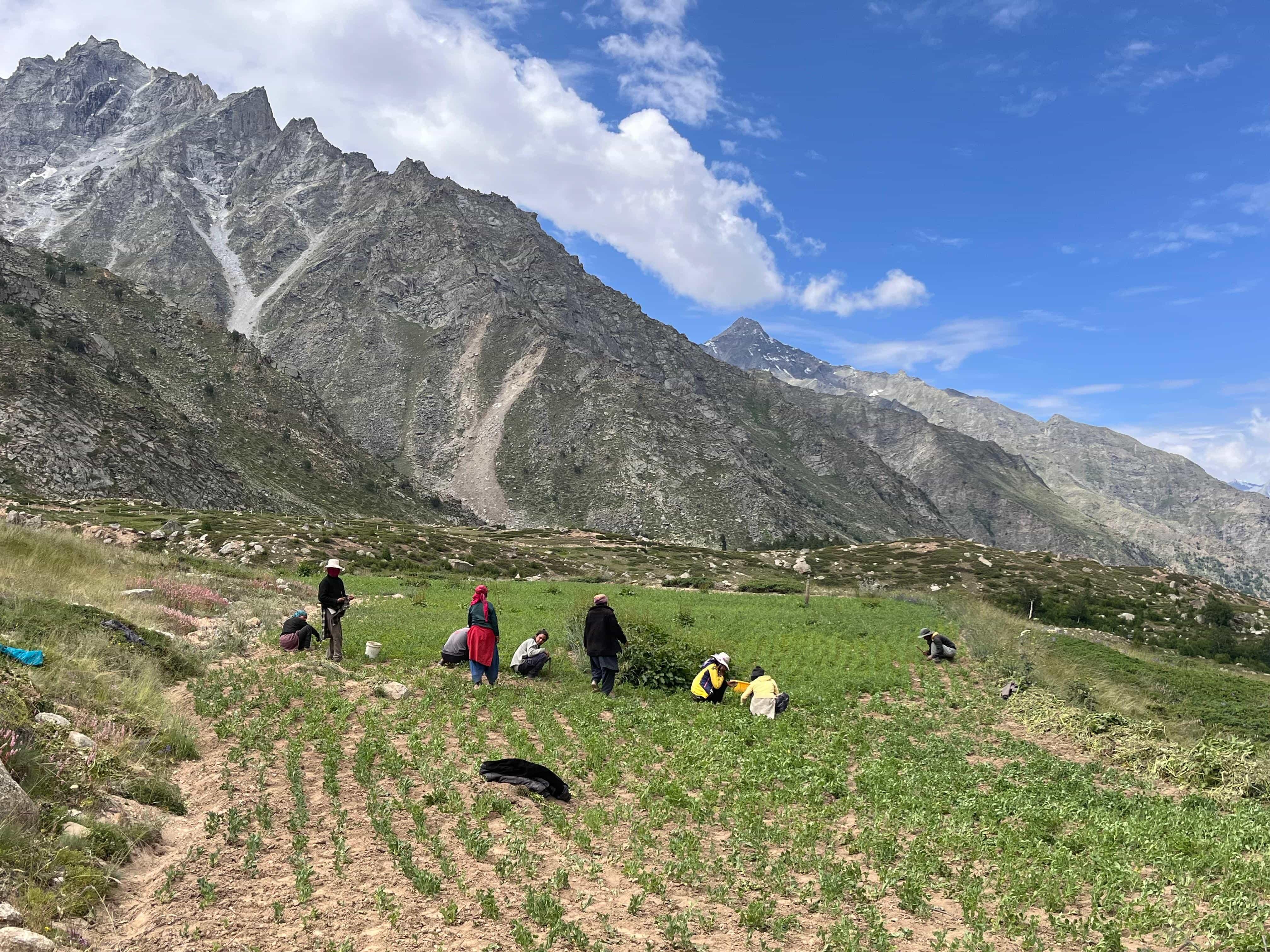
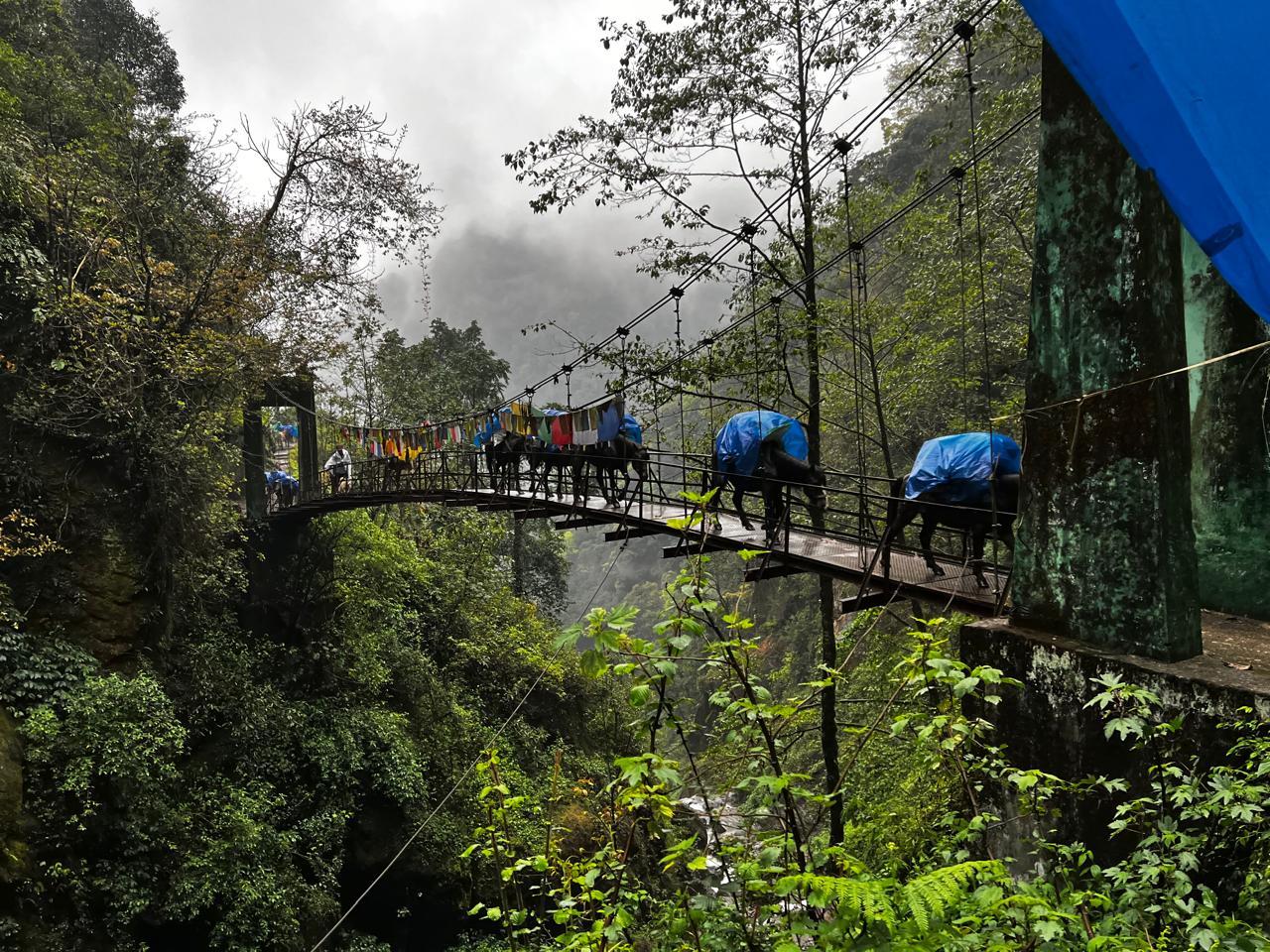
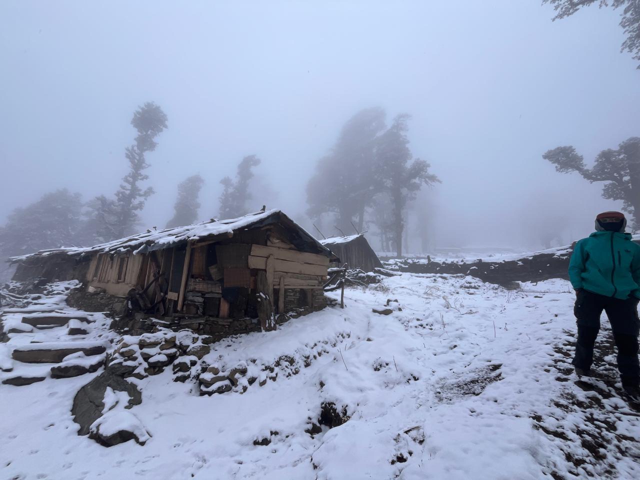
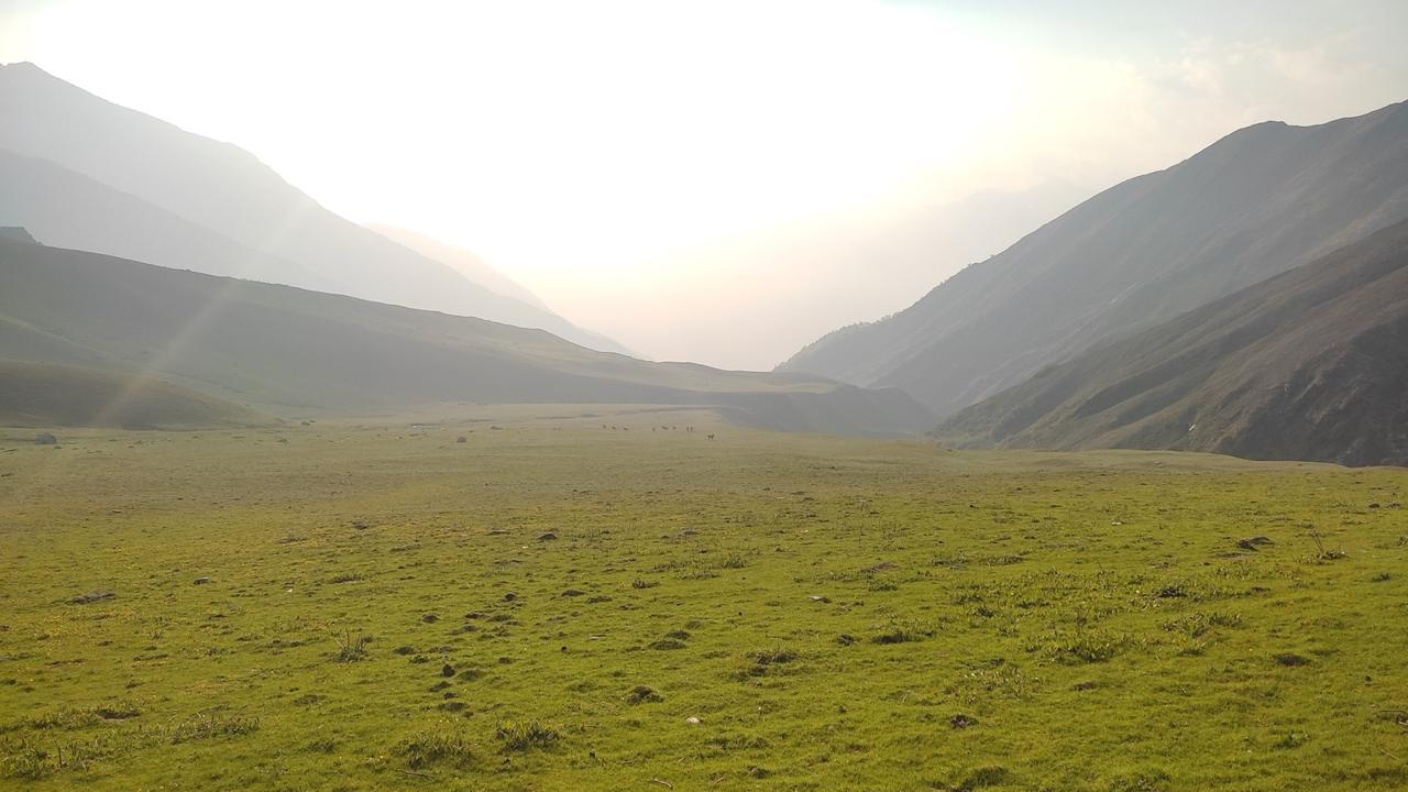
The trail descends briefly before crossing a stream and climbing toward Didina village. Stone houses and terraced fields mark the landscape, offering a glimpse into everyday mountain life. The path is well defined and gradual, allowing a measured start to the expedition. Didina provides a calm overnight halt surrounded by cultivated slopes and forested ridges.
Day 3
Trek from Didina to Abin Kharak
Trek Distance: 8 km
Time Taken: 5 to 6 hours
Elevation Gain: from 2,450 m to 3,200 m
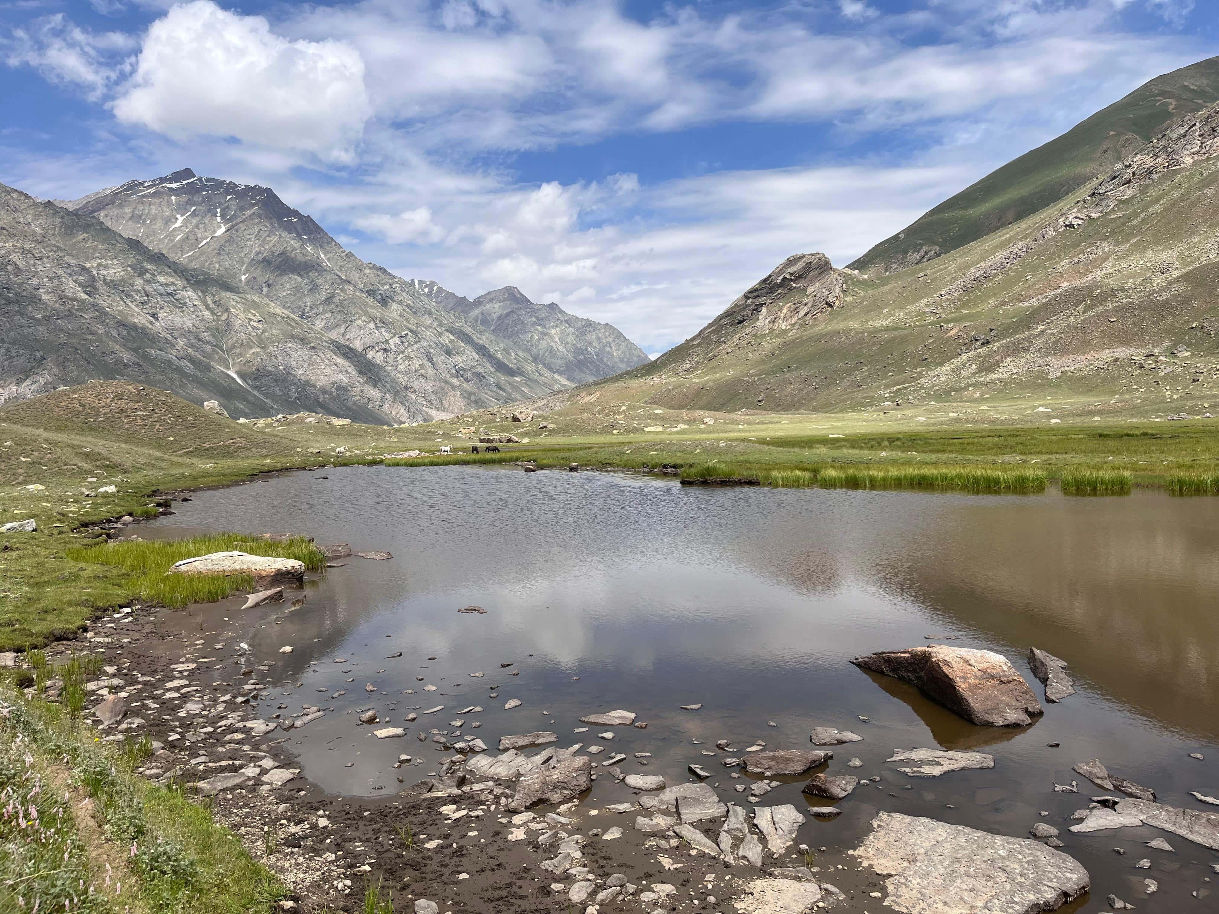
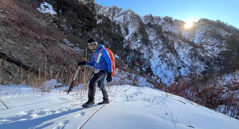
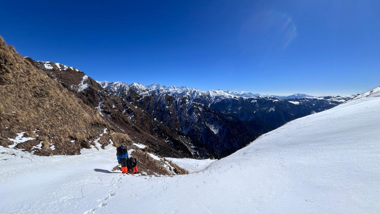
The climb from Didina is consistent and enters dense oak and rhododendron forests. The air cools as altitude increases, and the soundscape shifts to birds and wind through leaves. Abin Kharak opens into a meadow clearing that offers the first strong presence of distant snow peaks. The campsite feels elevated and transitional, positioned between forest and open alpine ground.
Day 4
Trek from Abin Kharak to Ghairoli Patal via Bedini Top
Trek Distance: 10 km
Time Taken: 6 to 7 hours
Elevation Gain: from 3,200 m to 3,750 m
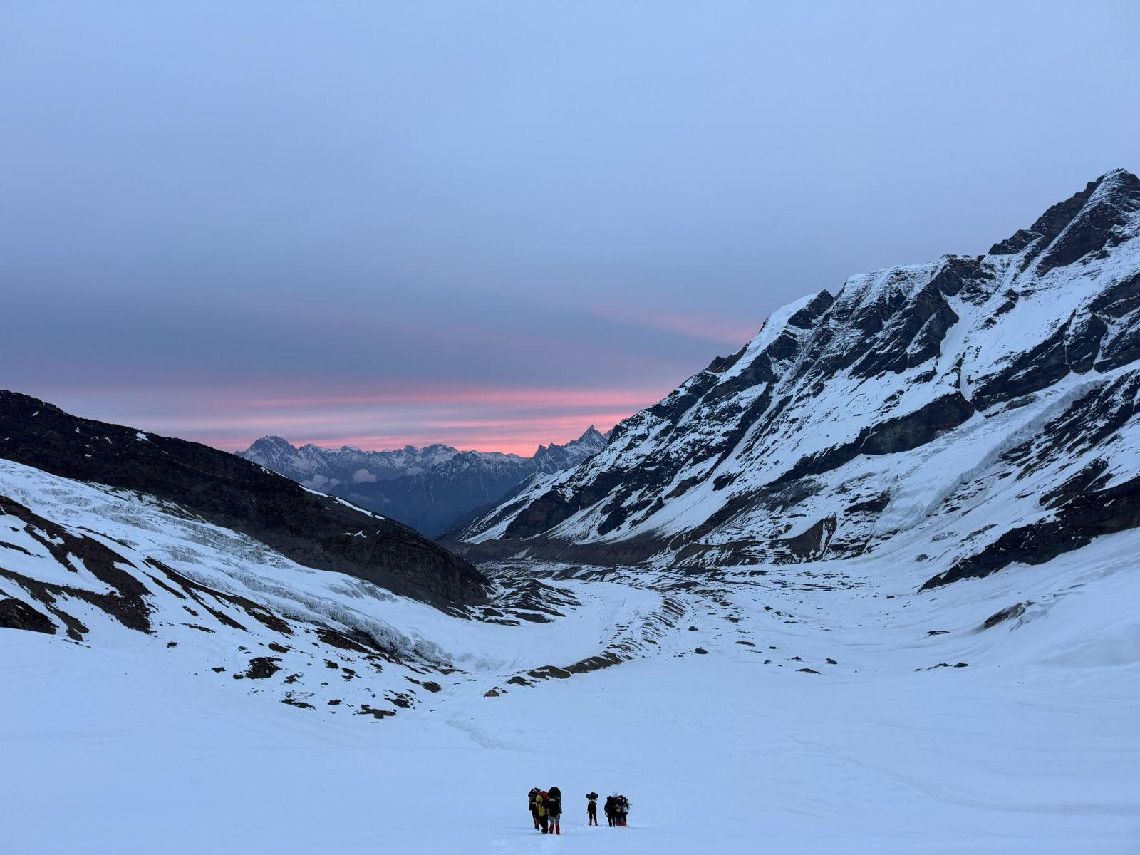
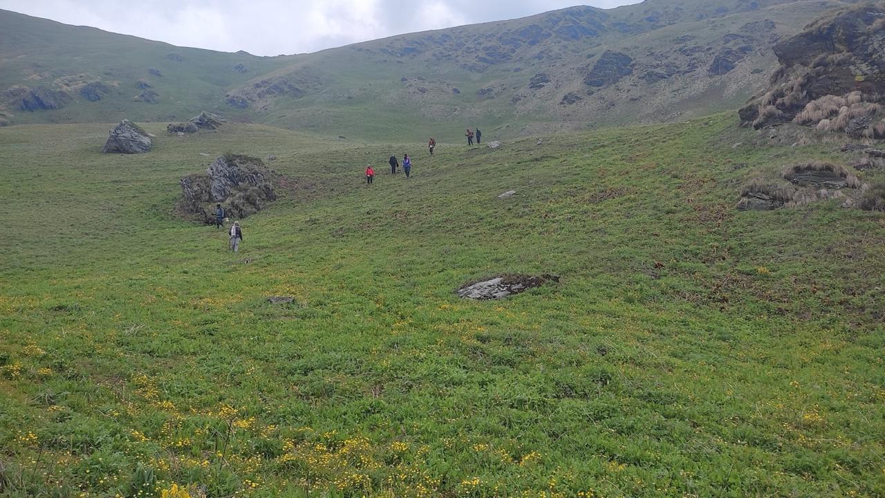
The day begins with a gradual climb that soon breaks above the tree line into the vast expanse of Ali Bugyal. The meadows stretch outward in gentle slopes, with Trishul and Nanda Ghunti rising sharply beyond them. Walking across this terrain feels unhurried, almost meditative. Reaching Bedni Top offers a panoramic perspective of the surrounding Himalayan range and the Bedni Kund temple area. After spending time absorbing the views, the trail descends toward Ghairoli Patal, re-entering forested terrain for the night’s camp.
Day 5
Trek from Ghairoli Patal to Lohajung via Wan
Trek Distance: 6 km
Time Taken: 4 to 5 hours
Elevation Gain: from 3,000 m to 2,300 m
The descent passes through thick forests before reaching Wan village, one of the oldest settlements in the region. Stone pathways and traditional homes mark the village boundary. From Wan, a short drive returns the team to Lohajung. The transition from meadow to forest to village completes the circular nature of the trek.
Day 6
Drive from Lohajung to Rishikesh
Drive Distance: 210 Kms
Time Taken: 8 to 9 hours drive
Elevation Gain: from 2,300 m to 372 m
The return drive follows the same river valleys in reverse, gradually descending from mountain ridges to the plains of Rishikesh. The peaks recede, but the openness of the meadows tends to linger in memory.
Who is this trek for?
Minimum Fitness Required
Participants should be capable of walking 5 to 7 hours daily on gradual ascents and descents. Prior trekking experience is beneficial but not mandatory for physically active individuals.
Our Expectation from Participants
Participants are expected to maintain steady pacing, respect mountain environments, and contribute positively to group cohesion.
How We Help You Prepare
We provide structured pre-trek guidance on fitness, equipment, and acclimatization. Our leaders ensure safe pacing and responsible campsite management throughout the expedition.
Inclusion
Exclusion
SELECT DATE TO REGISTER


Thank You!
Your form has been submitted successfully. We'll get back to you soon.
On Request