

Welcome to one of the First edition of Kanchenjunga circuit with Odyssey! We are super excited to have you join this journey.
The Kanchenjunga circuit is one of the most remote and rewarding journeys in the Himalayas. While many trekkers are familiar with Kanchenjunga from the Goechala side in Sikkim, very few get the opportunity to experience the mountain from its Nepal side and complete a full circuit around one of the world's greatest mountain massifs.
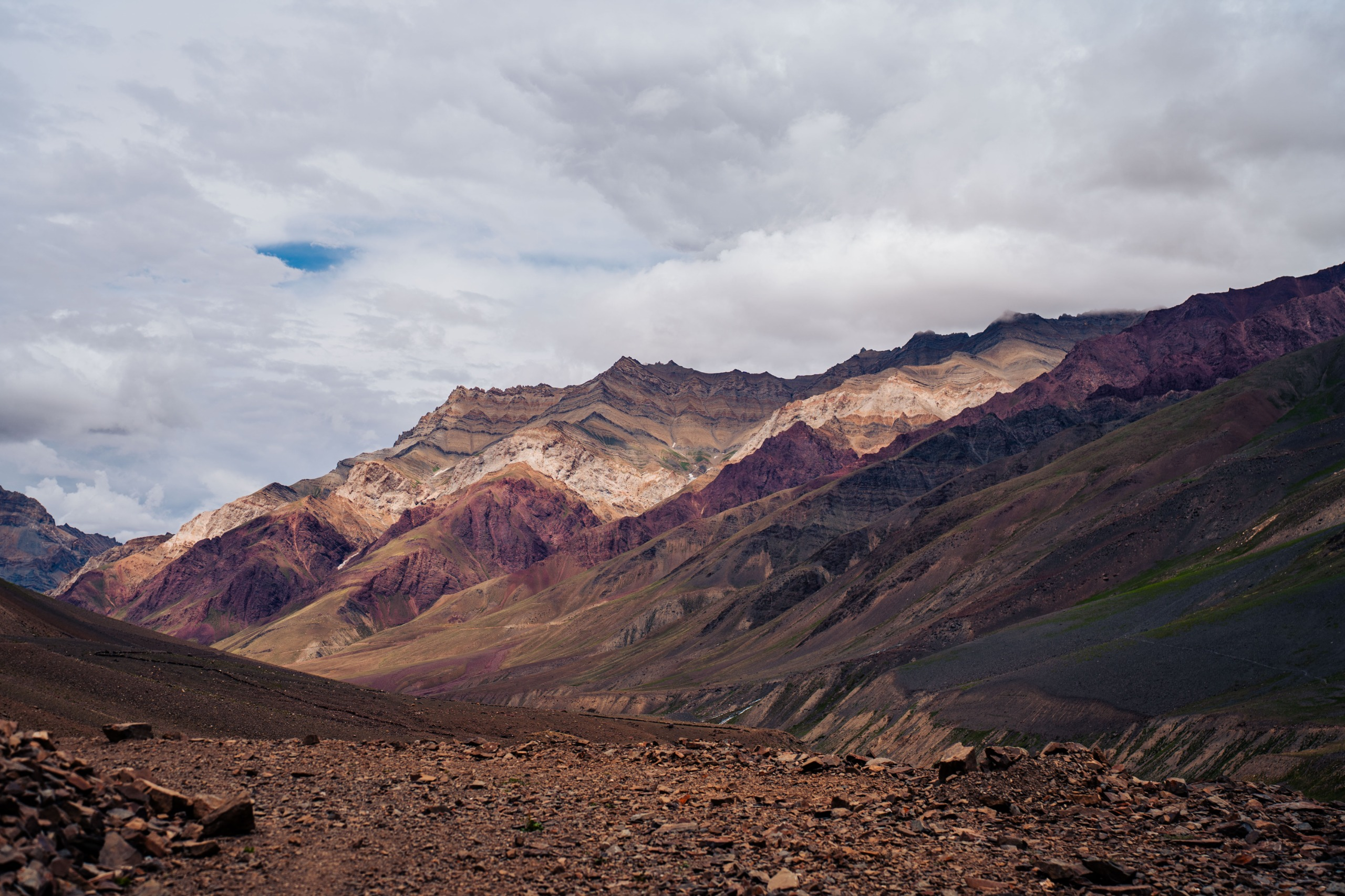
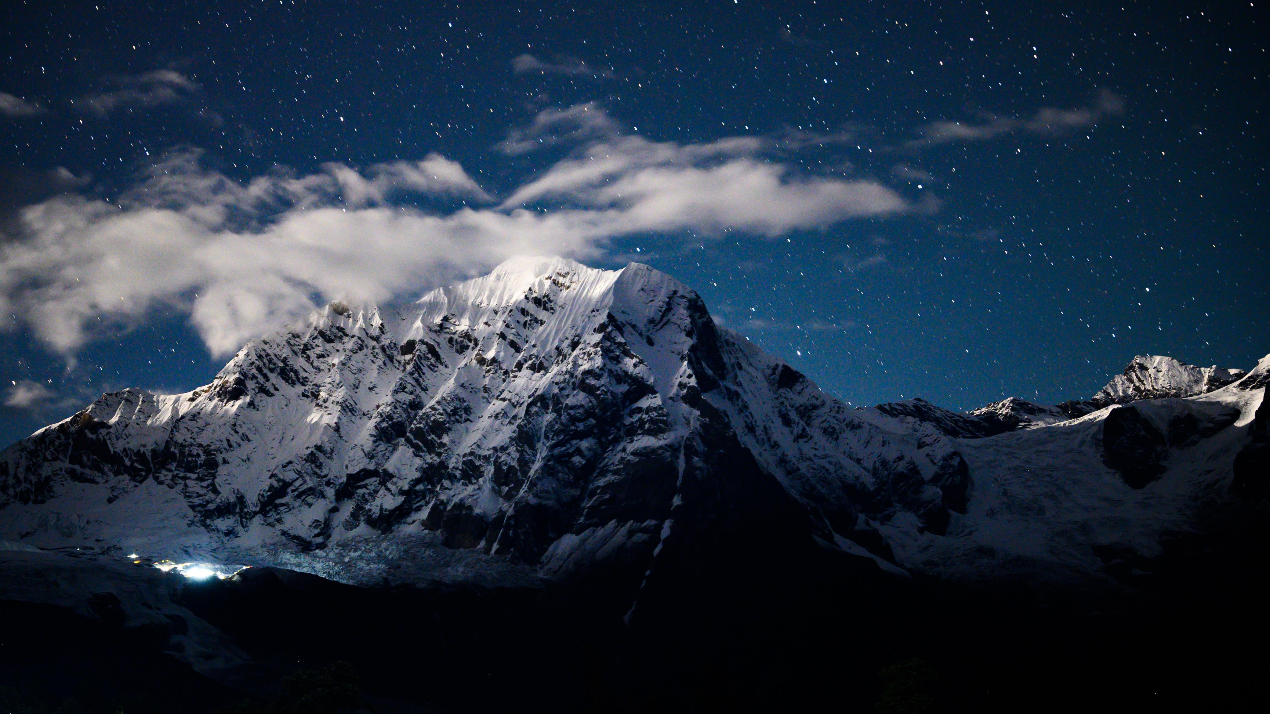
At 8,586 m, Kanchenjunga is the third-highest mountain on Earth. Unlike the Everest and Annapurna regions, this corner of eastern Nepal remains wild, quiet, and relatively untouched. Access is long, infrastructure is basic, and the trail demands real preparation. That's precisely what makes it special.
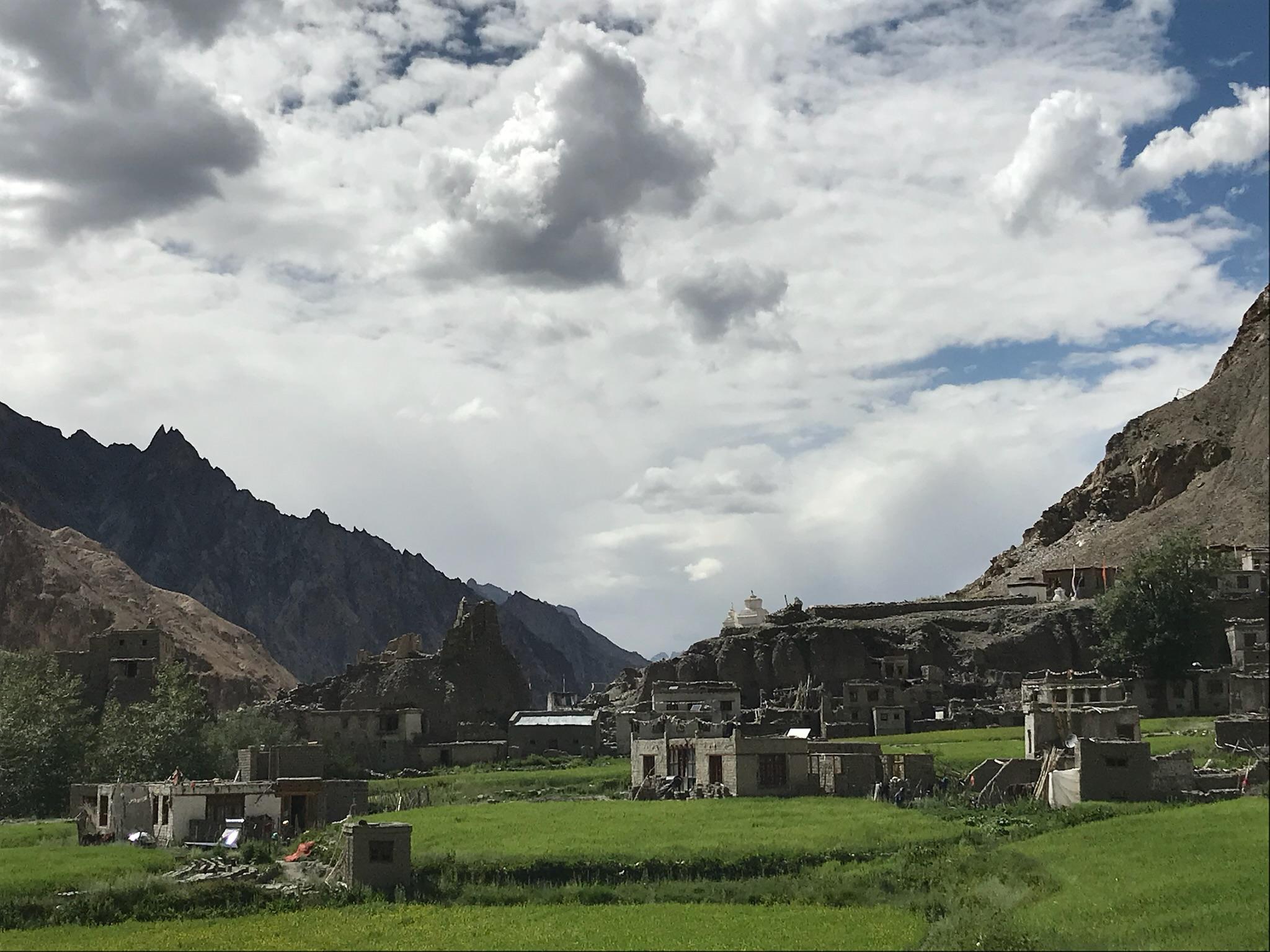
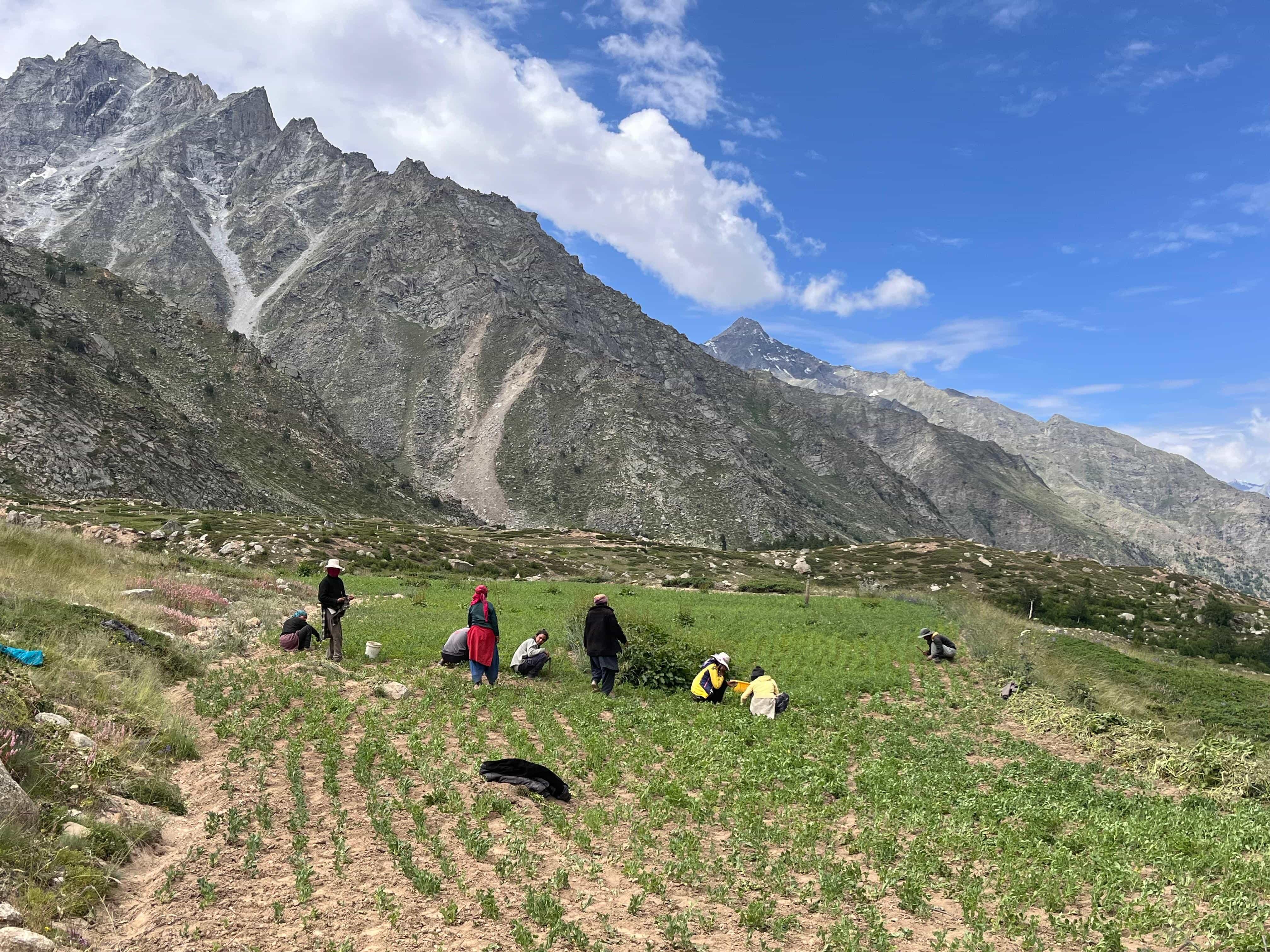
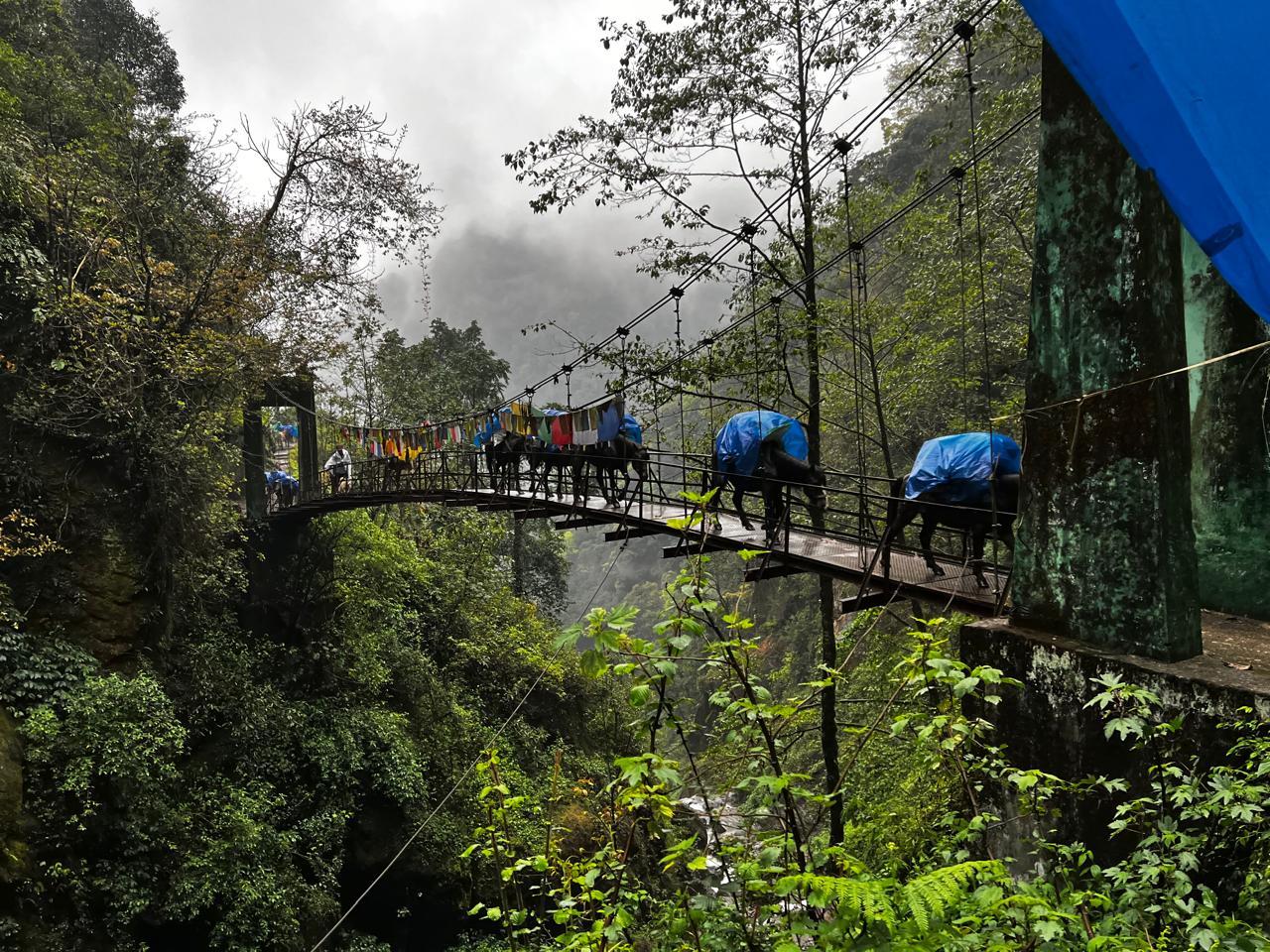
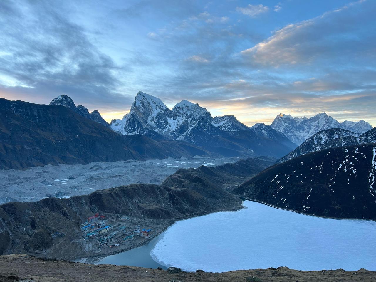
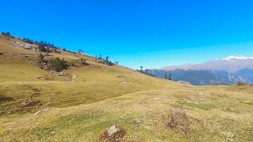
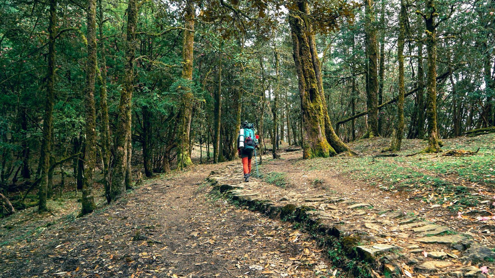
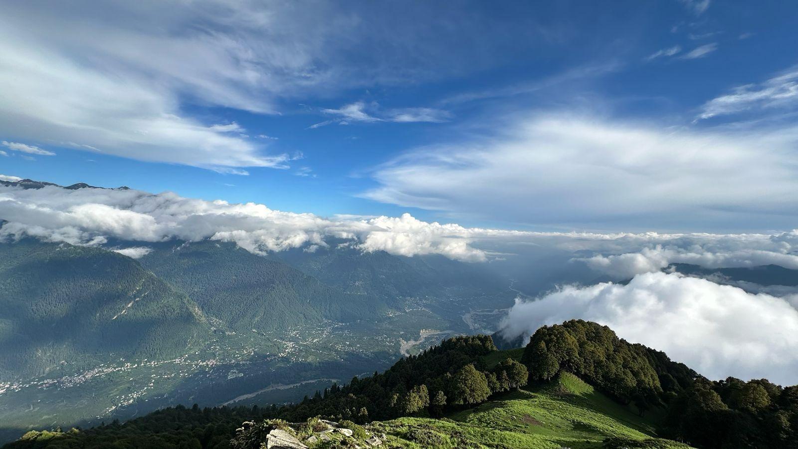
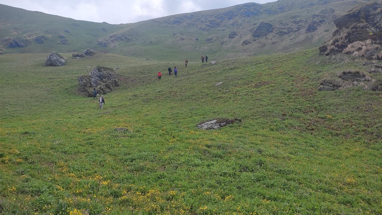
The journey begins at the India–Nepal border and gradually moves through tea gardens, traditional Rai and Limbu villages, dense forests, and bamboo groves before entering the high alpine valleys of the Kanchenjunga Conservation Area. As you gain altitude, the landscape changes dramatically. By the time you reach Ghunsa, you'll find yourself in a world of stone monasteries, yak pastures, Sherpa settlements, and towering Himalayan peaks.
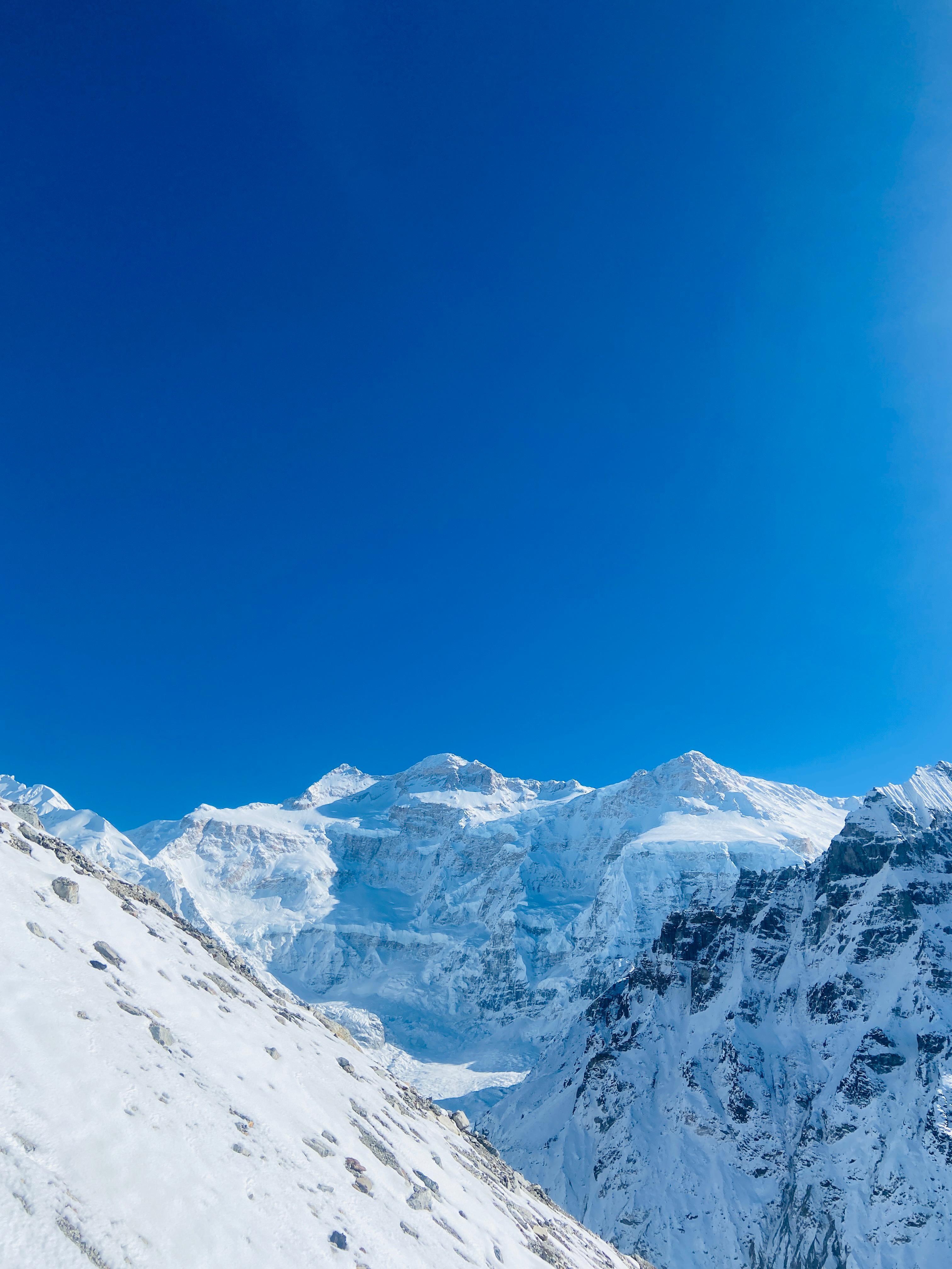
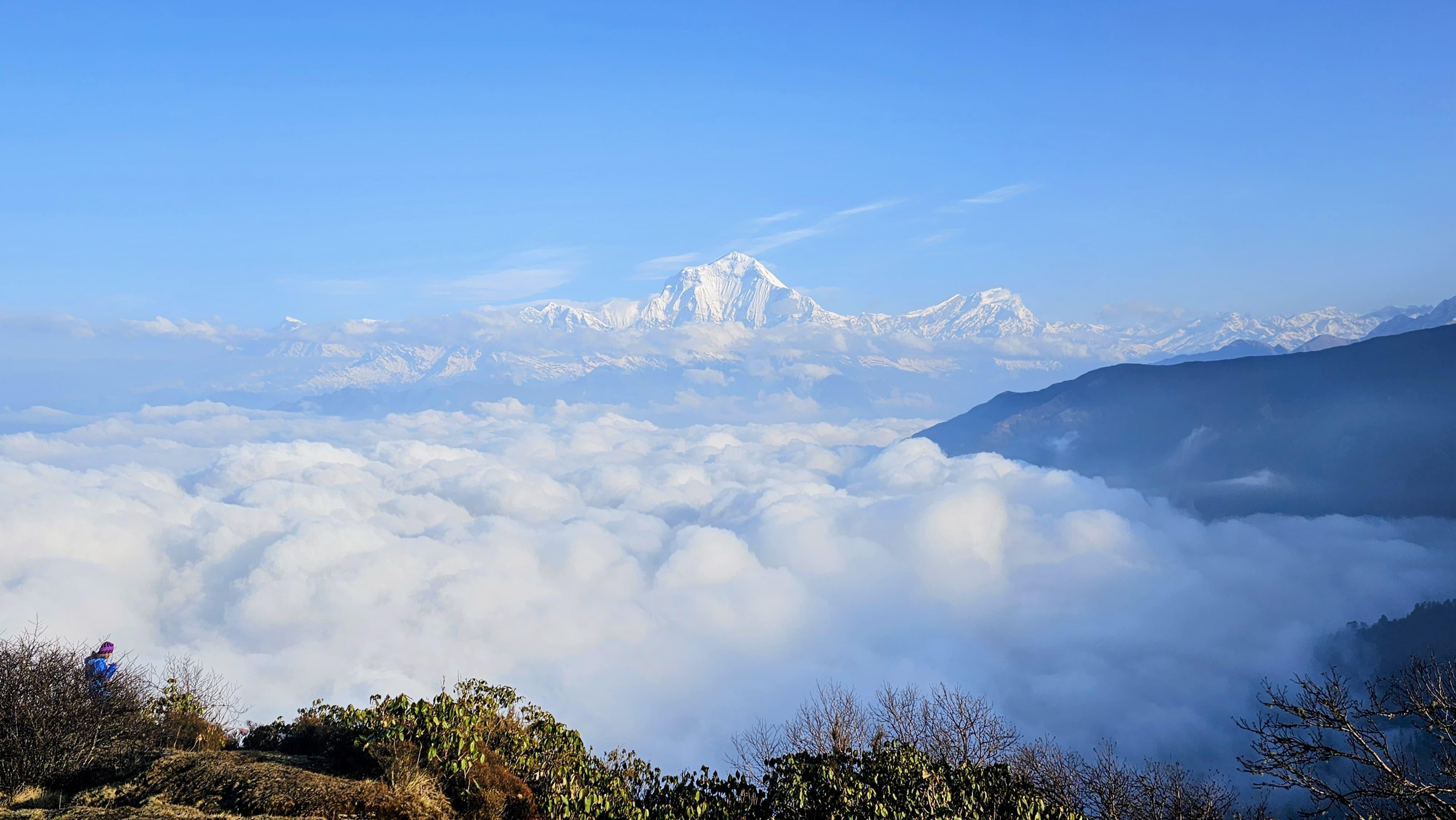
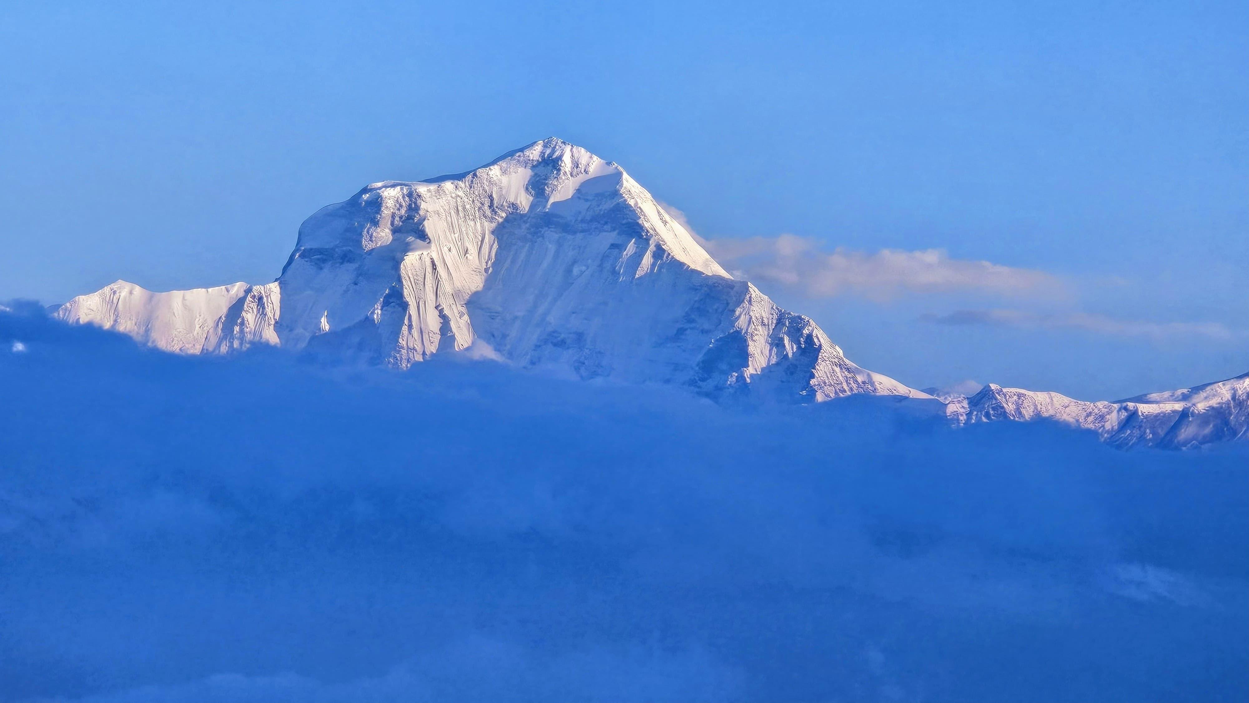
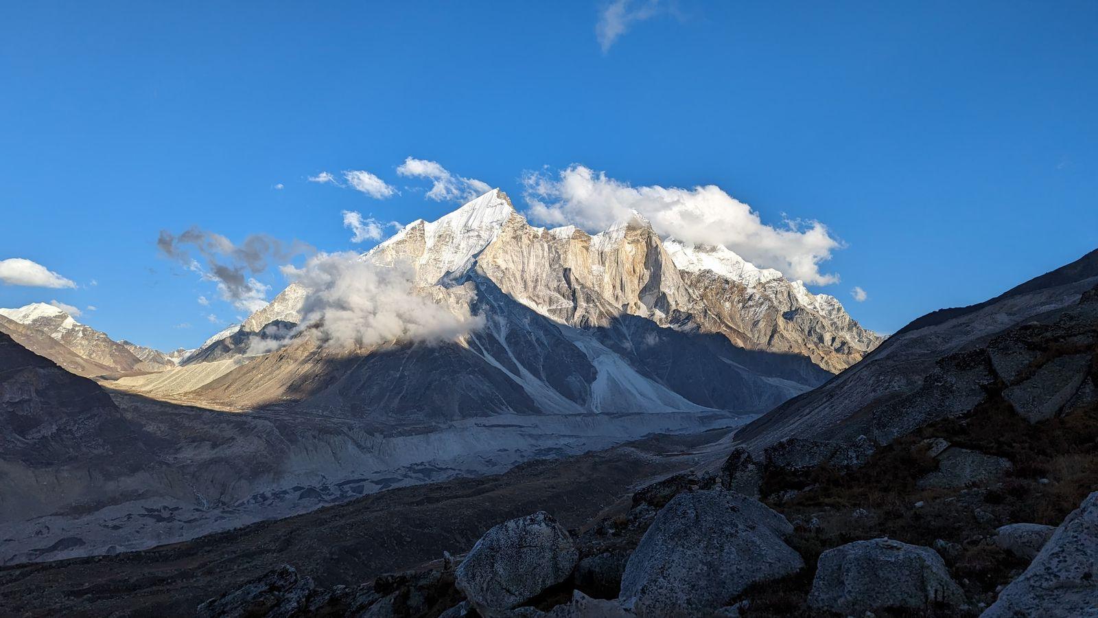
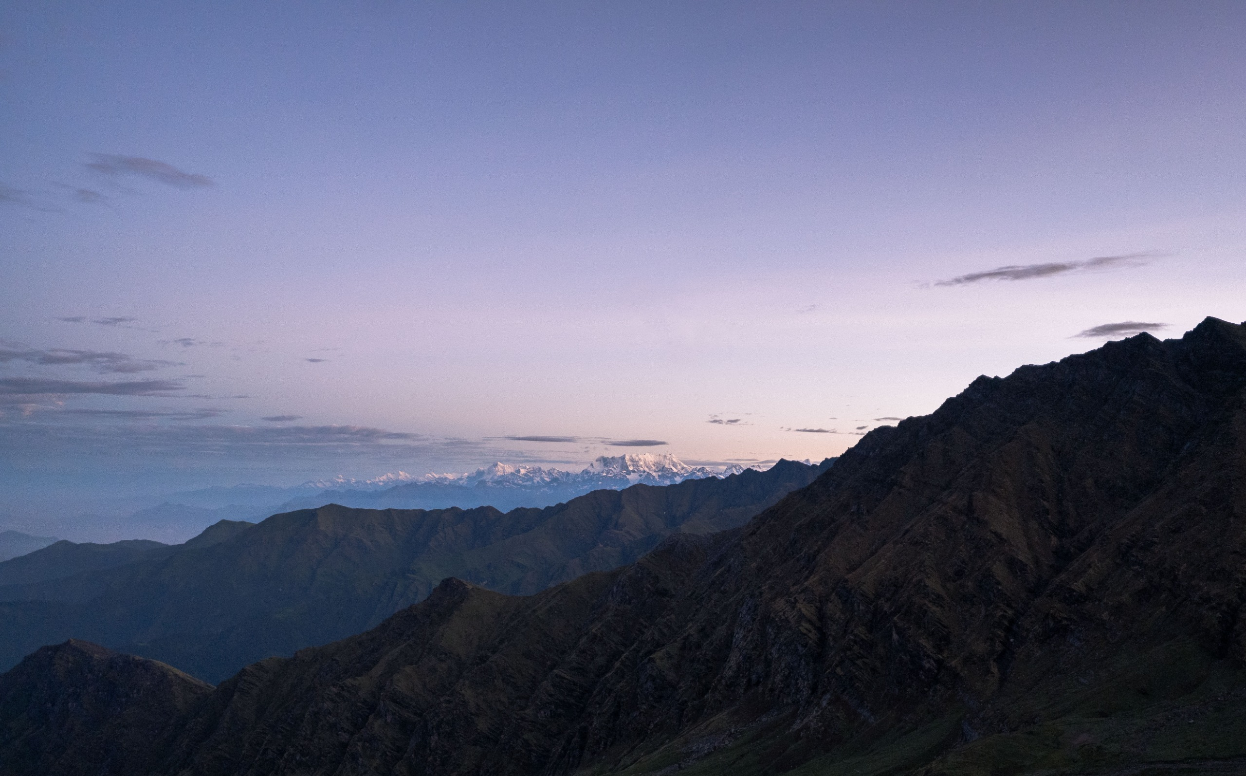
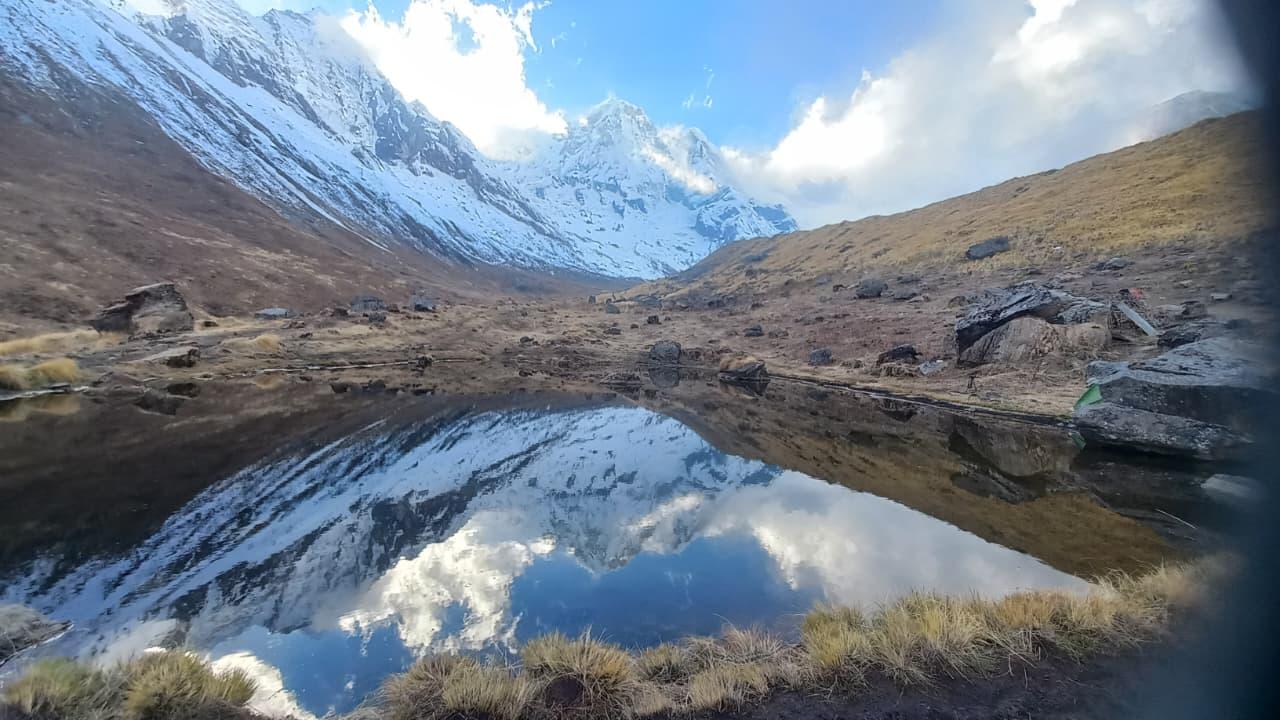
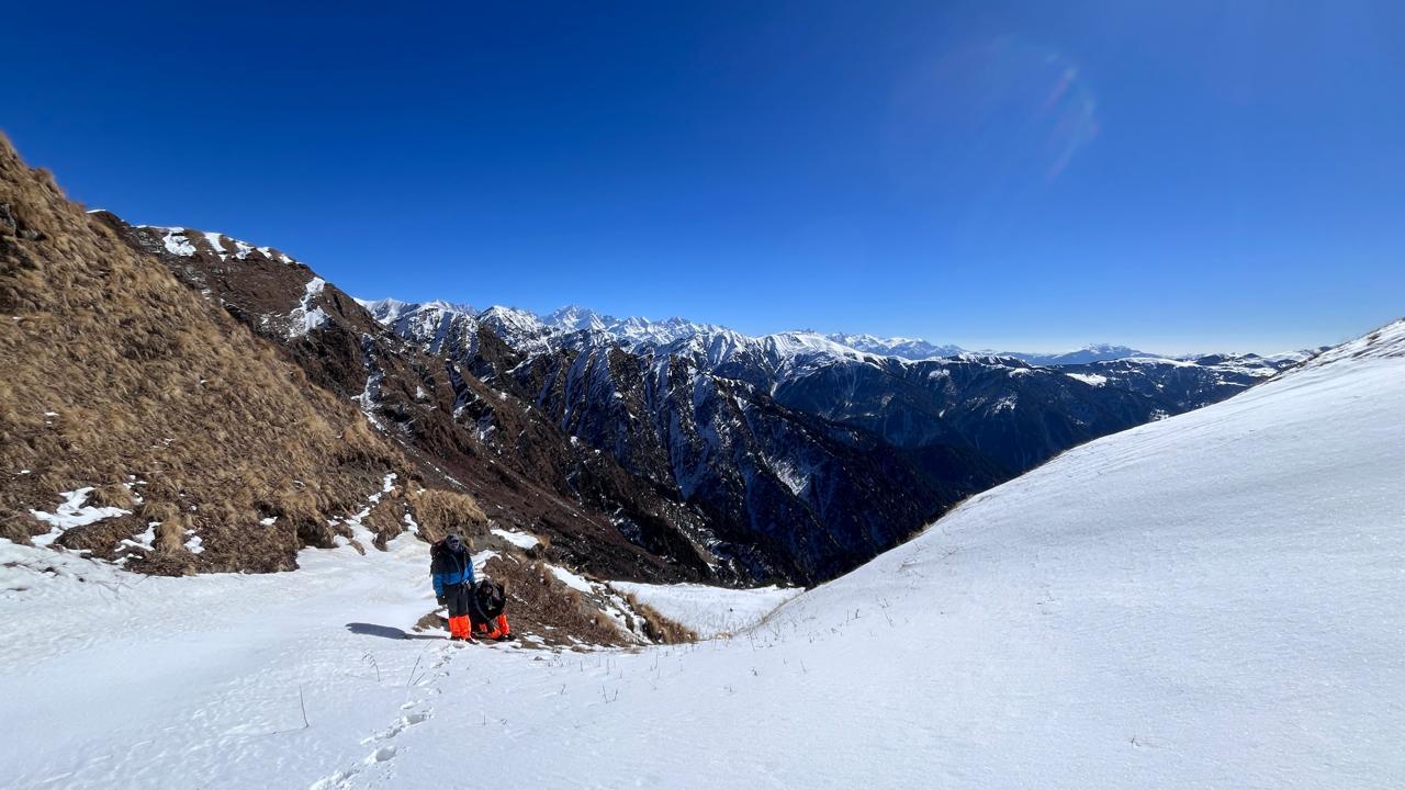
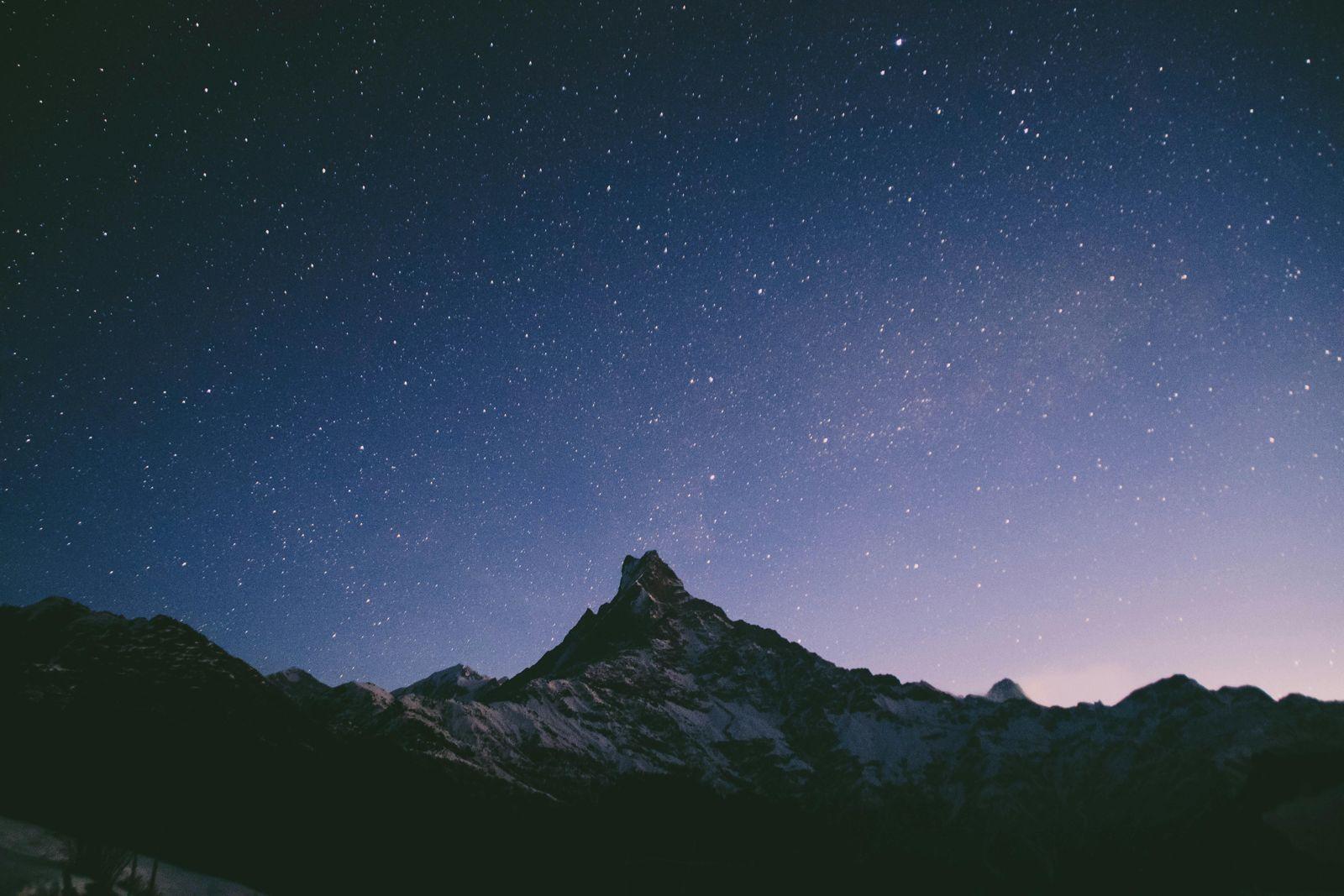
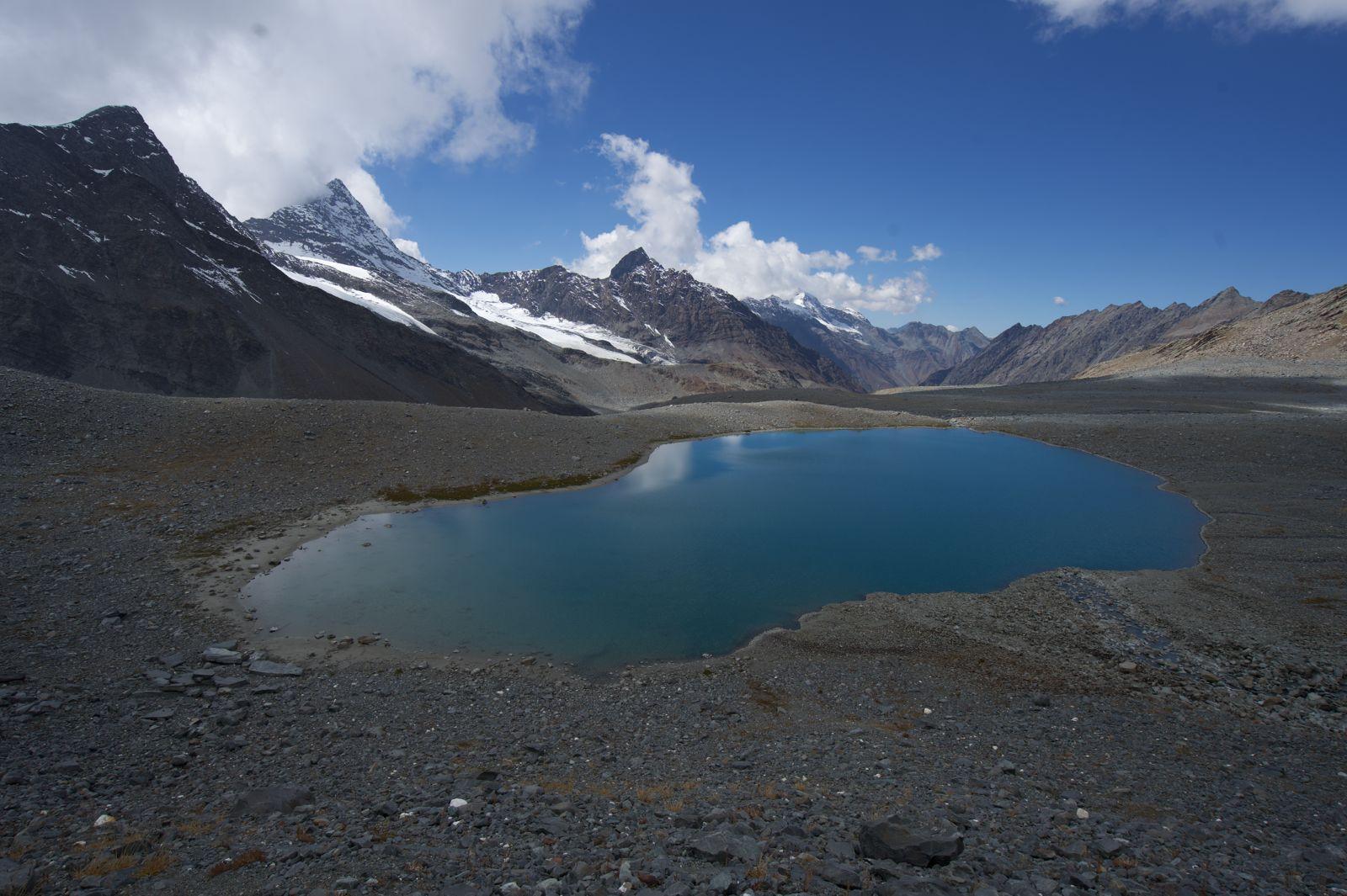
The route continues through Khambachen and Lonak to Pangpema, the North Base Camp of Kanchenjunga. Here, immense glaciers, moraine fields, and a spectacular wall of mountains surround you. On a clear day, Kanchenjunga dominates the skyline, accompanied by Kangbachen, Nepal Peak, Ramtang, and several other giant Himalayan summits.
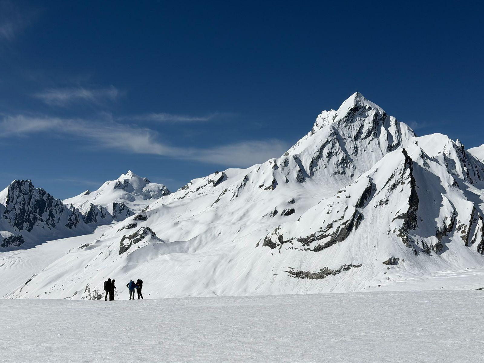
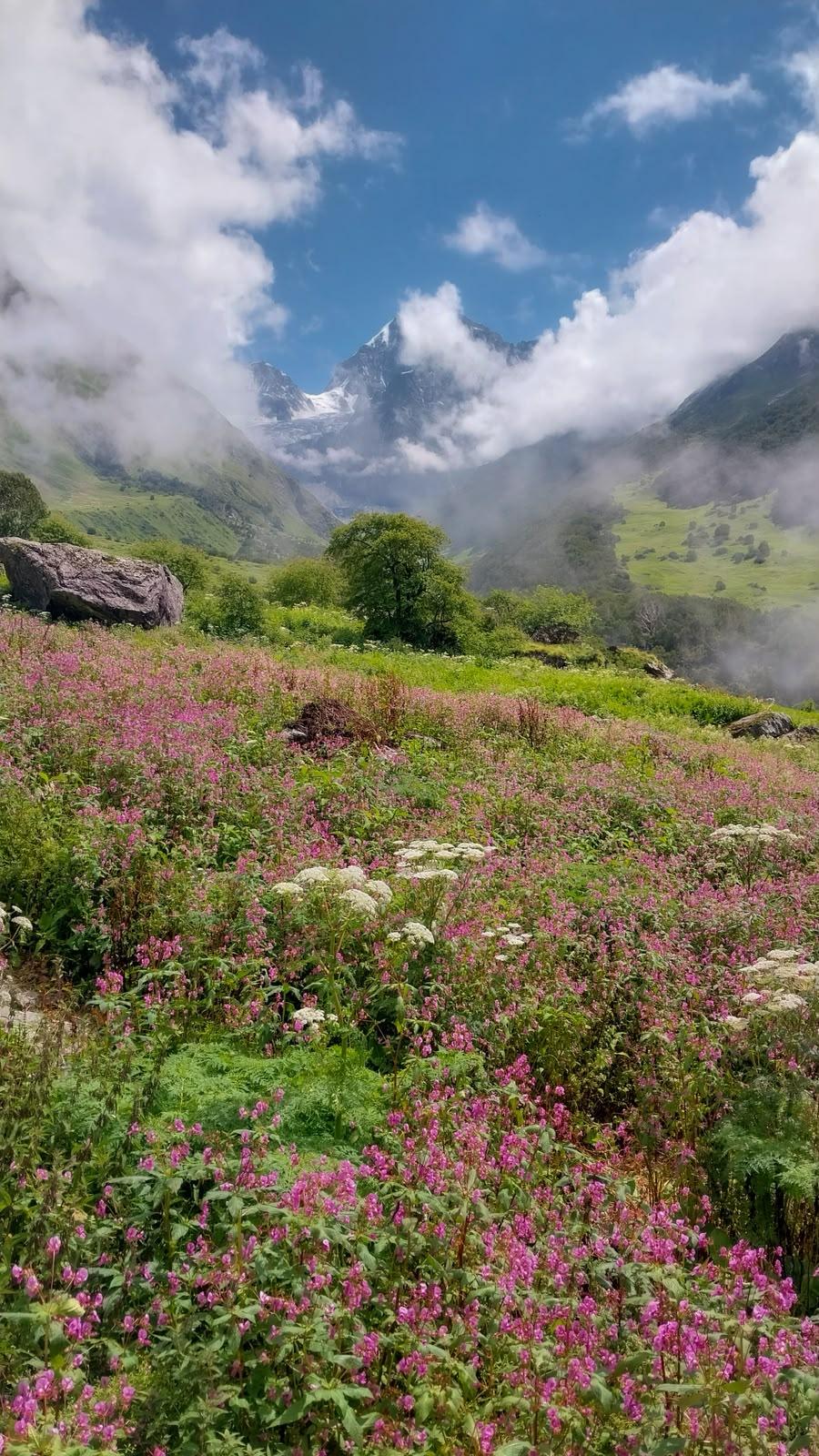
A challenging pass crossing over Selele La links the northern and southern valleys, revealing an entirely different side of the mountain before the trail descends through Tseram, Oktang, the Yalung Glacier region, and eventually back into forested terrain.
This is not a trek for first-time high-altitude trekkers. The distances are long, the passes are high, and the remoteness is real. But for those who have spent time in the mountains and are looking for something beyond the popular trekking routes of Nepal, the Kanchenjunga Circuit is among the finest and most complete Himalayan journeys available today.
Day 1
Bagdogra to Taplejung
We start our journey from Bagdogra at 6am to reach Taplejung by evening.
Distance: ~250–280 km
Drive Time: 8–10 hours
Route: Bagdogra → Kakarvitta → Ilam → Taplejung
The journey begins from Kakarvitta and gradually climbs through the tea-growing hills of Ilam before reaching Taplejung, the gateway to the Kanchenjunga region. The drive offers a first glimpse into eastern Nepal's landscapes and mountain culture.
Overnight: Guest House, Taplejung
Day 2
Taplejung to Ranipul Drive | Trek to Amjilosa
Altitude: 2,510 m (8,235 ft)
Drive Time: 4–5 hrs
Trekking Time: 5–6 hrs
Terrain: River valley trail, suspension bridges, forest
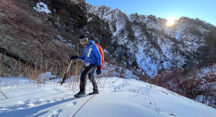
An early morning drive takes us to Ranipul, the trailhead of the trek. From here, we begin walking along the Tamor River through forests, traditional settlements, and suspension bridges before reaching Amjilosa.
Overnight: Guest House, Amjilosa
Day 3
Amjilosa to Gyabla
Altitude: 2,730 m (8,957 ft)
Trekking Time: 5–6 hrs
Terrain: Bamboo forest, waterfalls, gradual ascent
Today's trail winds through lush forests and narrow valleys. Waterfalls, bamboo groves, and occasional mountain views accompany us as we continue deeper into the Kanchenjunga Conservation Area.
Overnight: Tea House, Gyabla
Day 4
Gyabla to Ghunsa
Altitude: 3,475 m (11,400 ft)
Trekking Time: 5–6 hrs
Terrain: Forest trail, alpine transition, villages
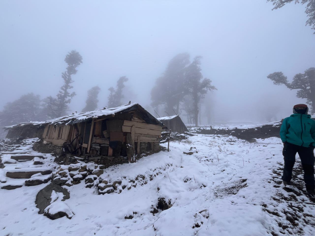
The landscape begins changing noticeably as we gain altitude. Forests gradually thin out and Tibetan Buddhist influences become more visible. Ghunsa is one of the most important villages on the route and our home for the next two nights.
Overnight: Tea House, Ghunsa
Day 5
Acclimatization Day at Ghunsa
Sleeping Altitude: 3,475 m (11,400 ft)
Acclimatization Hike: 3,600–4,000 m
Activity Time: 3–5 hrs
A dedicated acclimatization day to help the body adapt to altitude. We spend the day exploring the surrounding slopes before returning to Ghunsa for the night.
Overnight: Tea House, Ghunsa
Day 6
Ghunsa to Khambachen
Altitude: 4,100 m (13,451 ft)
Trekking Time: 6–7 hrs
Terrain: Alpine valley, rocky trail, glacial landscape
The trail follows the Ghunsa Khola through increasingly rugged terrain. Peaks begin appearing above the valley walls and the true scale of the Kanchenjunga region starts revealing itself.
Overnight: Tea House, Khambachen
Day 7
Hike to Jannu Viewpoint (Phaktangulang) and back to Khambachen
Sleeping Altitude: 4,100 m (13,451 ft)
Highest Point: 4,550 m (14,928 ft)
Hiking Time: 5–6 hrs
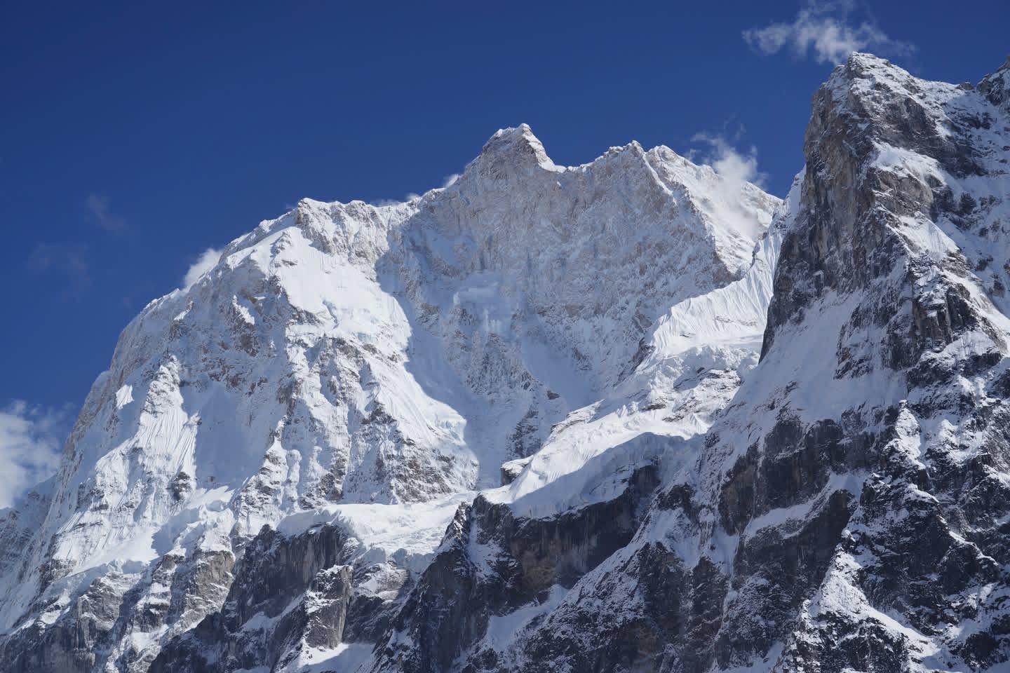
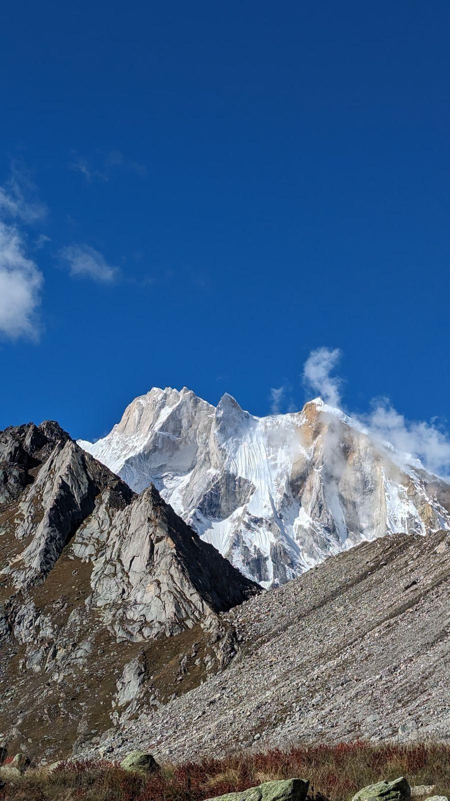
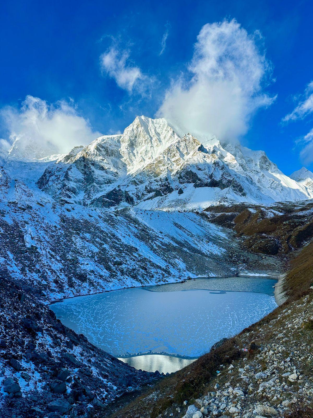
A rewarding acclimatization hike towards one of the finest viewpoints of Jannu (Kumbhakarna), one of the most striking mountains in the Himalayas.
Overnight: Tea House, Khambachen
Day 8
Khambachen to Lonak
Altitude: 4,761 m (15,620 ft)
Trekking Time: 6–7 hrs
Terrain: Moraine, glacial valley, exposed alpine terrain
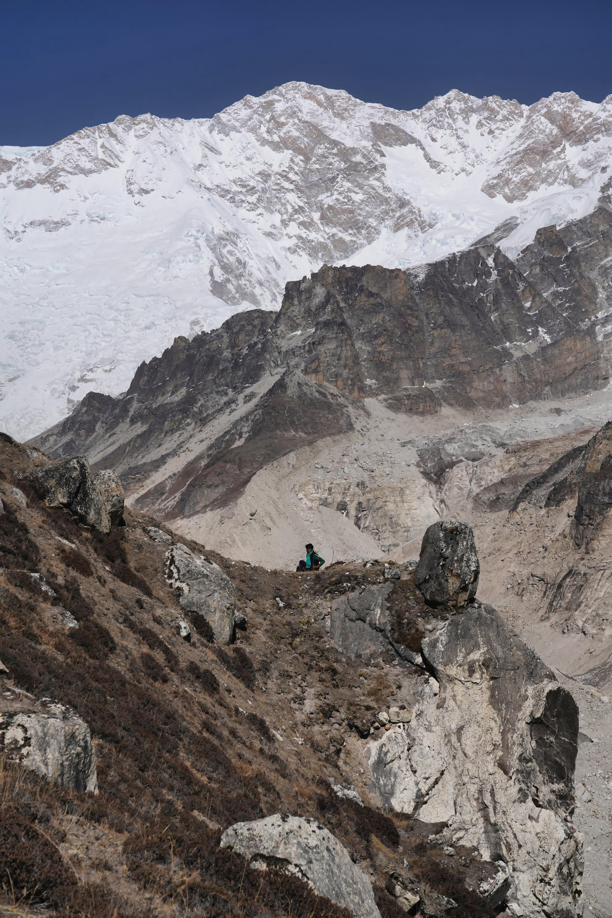
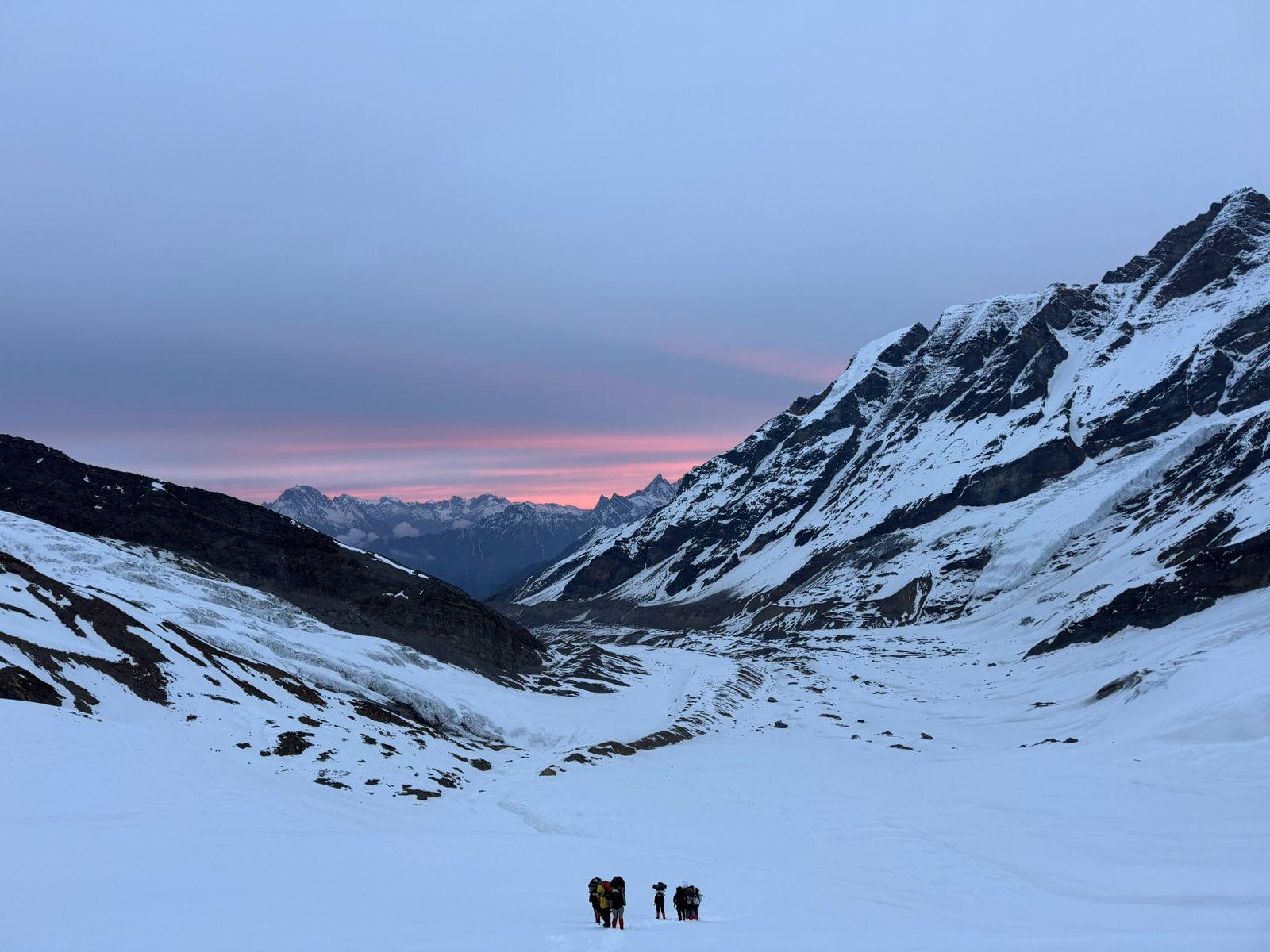
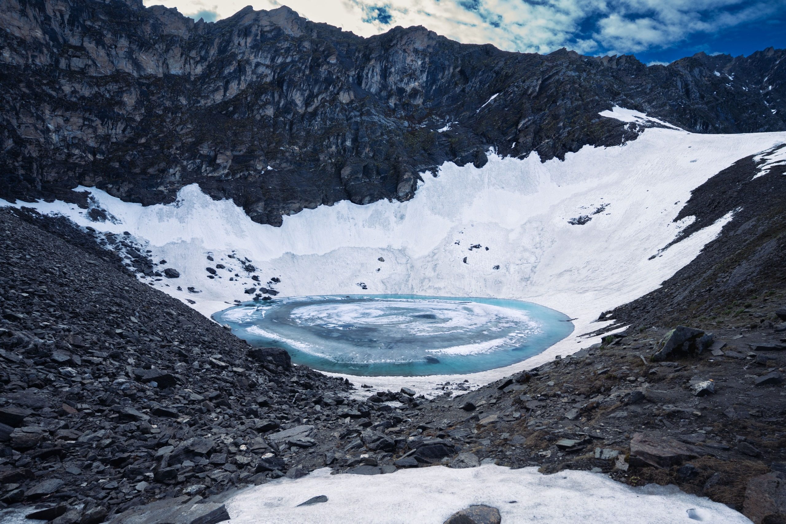
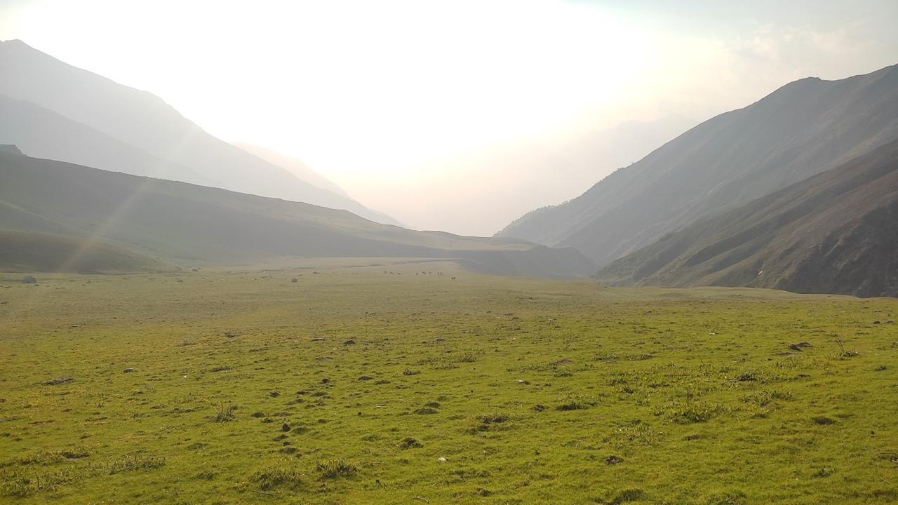
The trail enters a high-altitude wilderness of rock, ice, and massive Himalayan landscapes. Vegetation disappears and the sense of remoteness becomes very real.
Overnight: Tea House, Lonak
Day 9
Lonak to Pangpema (North Basecamp)
Altitude: 5,142 m (16,870 ft)
Trekking Time: 4–5 hrs
Terrain: Moraine trail, glacial terrain
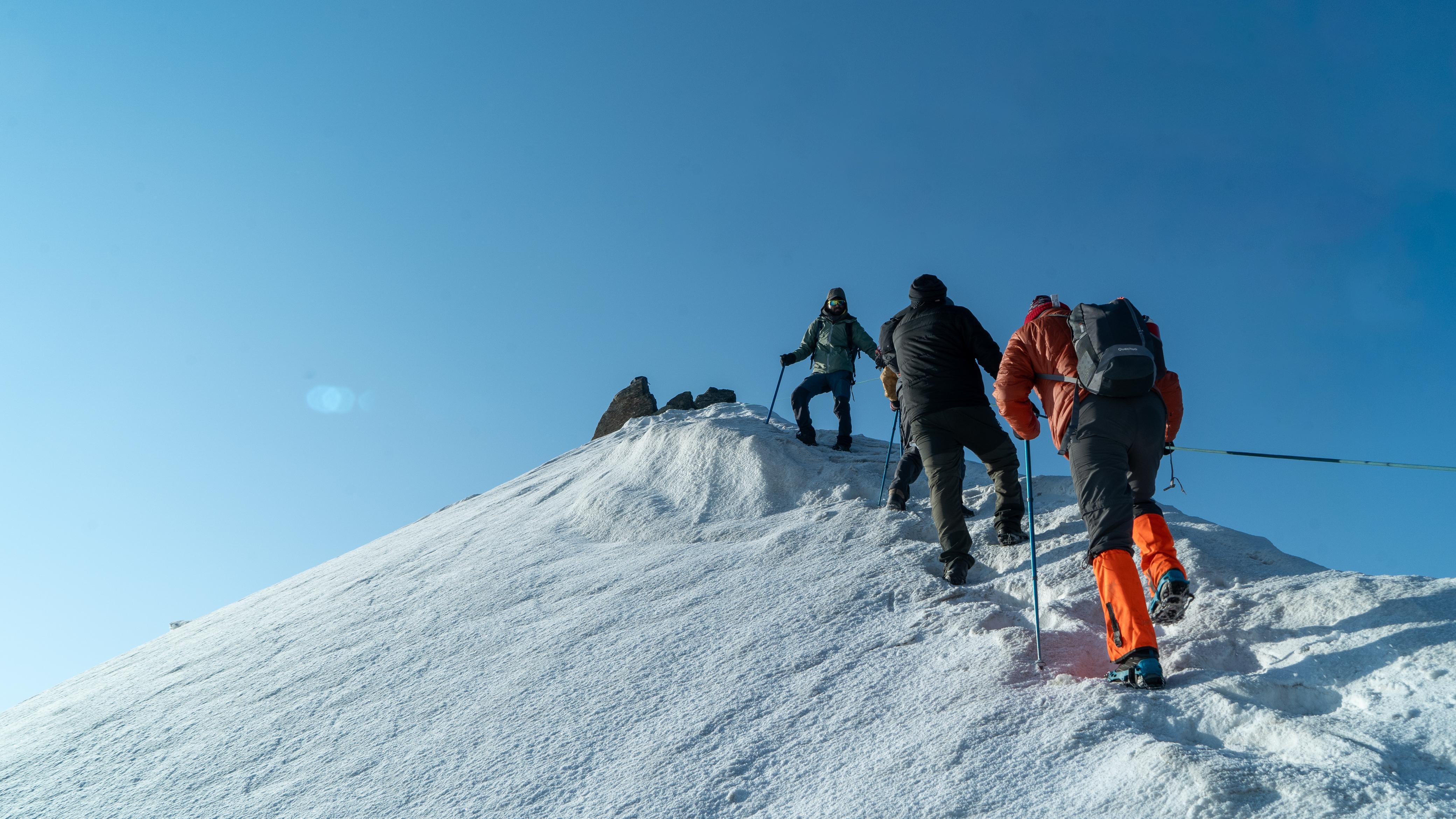
One of the highlights of the expedition. We trek to Pangpema, the North Base Camp of Kanchenjunga. On a clear day, the world's third-highest mountain dominates the skyline.
Overnight: Basic Mountain Lodge, Pangpema
Day 10
Hike toward Dromo Ri and back to Lonak
Sleeping Altitude: 4,761 m (15,620 ft)
Highest Point: 6,000 m (19,685 ft)
Hiking Time: 7–8 hrs
An early alpine start takes us to Dromo Ri, one of the finest viewpoints in the region. Expect breathtaking views of Kanchenjunga and the surrounding peaks before descending back to Lonak.
Overnight: Guest House, Lonak
Day 11
Lonak to Ghunsa
Altitude: 3,475 m (11,400 ft)
Trekking Time: 5–6 hrs
Terrain: Alpine descent, glacial valley
A long but rewarding descent back to Ghunsa. Dropping altitude provides valuable recovery before we continue into the southern side of the circuit.
Overnight: Tea House, Ghunsa
Day 12
Ghunsa to Selele Camp
Altitude: 4,200 m (13,780 ft)
Trekking Time: 4–5 hrs
Terrain: Ridge trail, forest, alpine meadows
Leaving the main valley behind, we begin ascending towards Selele Camp and prepare for the high pass crossing that lies ahead.
Overnight: Guest House, Selele Camp
Day 13
Selele Camp to Tseram via Three Passes
Altitude: 3,870 m (12,700 ft)
Trekking Time: 6–7 hrs
Terrain: High passes, ridgelines, alpine descent
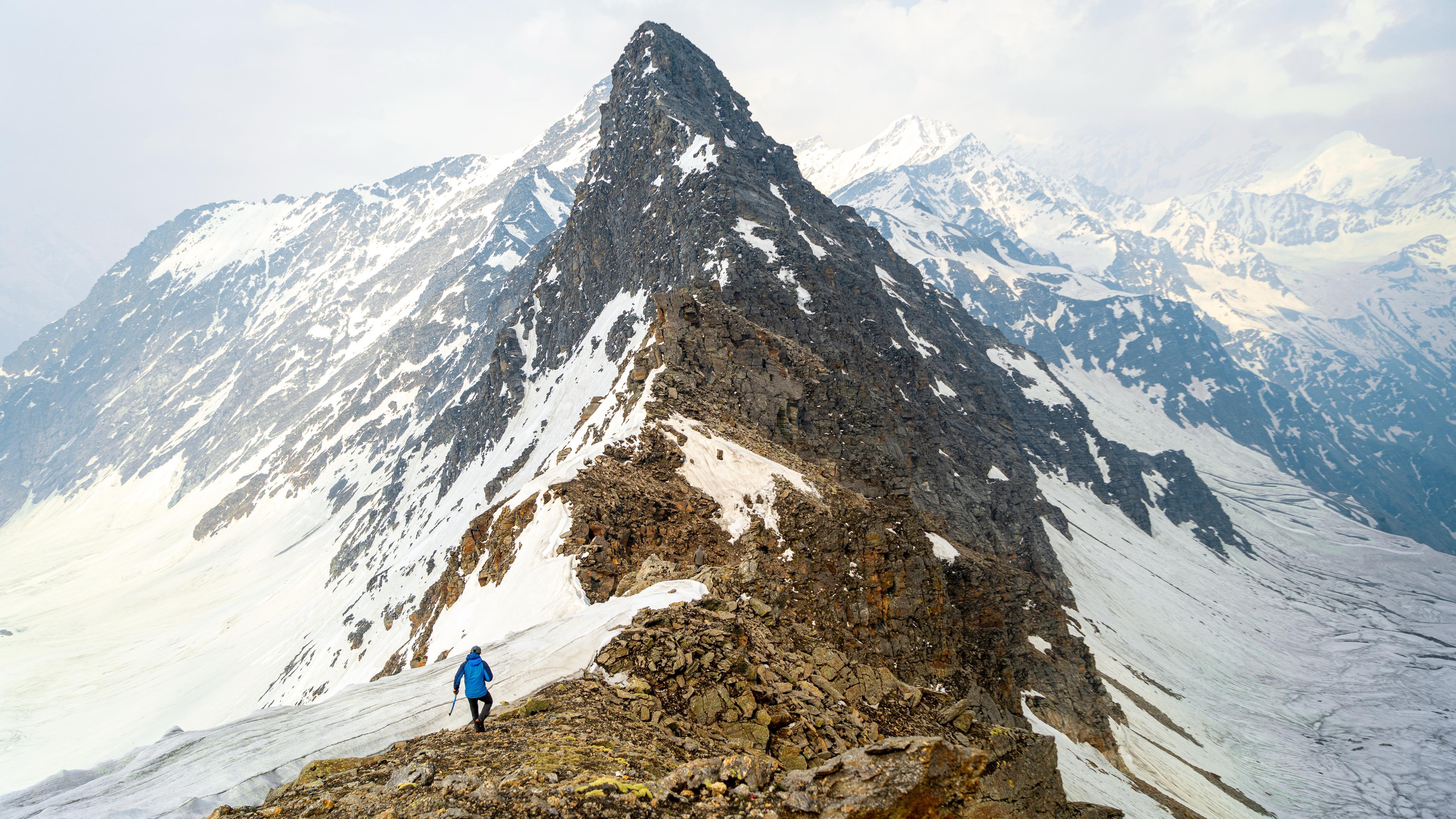
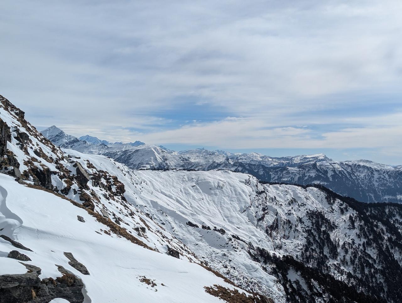
One of the most scenic days of the trek. We cross the Selele Pass system before descending into the southern valley of Kanchenjunga.
Overnight: Tea House, Tseram
Day 14
Tseram to Oktham (South Viewpoint) and back to Tseram
Sleeping Altitude: 3,870 m (12,700 ft)
Highest Point: 4,750 m (15,584 ft)
Hiking Time: 7–8 hrs
A spectacular day hike to Oktang, offering close views of the Yalung Glacier and Kanchenjunga's southern face.
Overnight: Tea House, Tseram
Day 15
Tseram to Torongden
Altitude: 2,980 m (9,777 ft)
Trekking Time: 4–5 hrs
Terrain: Meadows, forest, gradual descent
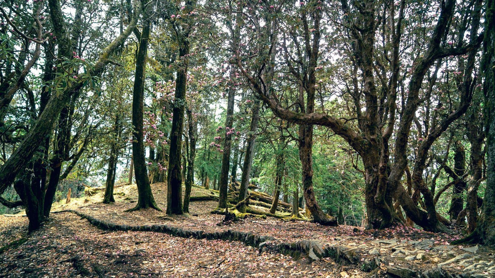
The trail descends steadily through alpine meadows and rhododendron forests as we begin leaving the high mountains behind.
Overnight: Tea House, Torongden
Day 16
Torongden to Kengsara
Altitude: 2,200 m (7,218 ft)
Trekking Time: 4–5 hrs
Terrain: Forest trail, villages
A pleasant day through traditional settlements and forested hillsides, offering a final glimpse into life in eastern Nepal's mountain communities.
Overnight: Tea House, Kengsara
Day 17
Walk to Roadhead | Drive to Ilam / Kanyam
Altitude: 1,570–1,627 m
Walk: 1–2 hrs
Drive: 8–12 hrs
Terrain: Village trail, mountain roads
After a short walk to the roadhead, we begin the long drive out of the mountains and return to the tea-growing hills of Ilam and Kanyam.
Overnight: Hotel, Ilam / Kanyam
Day 18
Ilam / Kanyam to Kakarvitta & Bagdogra
Drive Time: 2–4 hrs to Kakarvitta
Additional Transfer: 1–1.5 hrs to Bagdogra
A relaxed morning among the tea gardens before driving back to Kakarvitta and onward to Bagdogra.
Departure Information: Participants can generally plan onward flights from Bagdogra on the evening of Day 18. We recommend booking flights departing after 7:00 PM to allow for border formalities, traffic, and road conditions or on Day 19
Who is this trek for?
Kanchenjunga demands a specific kind of trekker. Fitness is the baseline, not the qualification.
Experience: At least two prior multi-day high-altitude treks above 4,000 m, with one ideally above 4,500 m. The multi-pass crossing on Day 13 and the sustained high-altitude days between Lonak and Pangpema are not the place to find out your altitude ceiling.
Fitness: Cardiovascular endurance is non-negotiable. You should be able to run 5 km in under 30 minutes and maintain 15–20 km days with a loaded pack on mixed terrain. Start squats, lunges, and stair climbs four to six weeks before the trek — the descents are long and repeated knee stress is a real factor.
Duration: This is an 18-day commitment in one of Nepal's most remote trekking corridors. There are no shortcuts back if you need to exit the route mid-way. Come fully prepared.
Age: Minimum 16 years. Participants between 16–17 must be accompanied by a parent or guardian. Above 60, a fitness certificate from a registered physician is required.
Health: Altitude sickness is a real variable above 4,000 m, and this route spends significant time above it. Consult a doctor before departure if you have any pre-existing cardiac, respiratory, or neurological conditions. Inform the Odyssey team of any medical history before registration.
Fitness Preparation
The Kanchenjunga Circuit is a challenging high-altitude trek and requires good physical preparation.
- Participants should be comfortable walking 15–20 km on consecutive days while carrying a daypack.
- A strong aerobic base is essential. Regular running, hiking, cycling, or brisk walking 3–4 times a week is recommended.
- Strength training focused on the legs, core, and stability should be included at least twice a week.
- Previous high-altitude trekking experience above 4,000m is strongly recommended.
Safety & Emergency Support
- Odyssey maintains small groups with experienced local guides and expedition leaders.(3:1)
- Daily health checks and acclimatization monitoring are conducted throughout the trek.
- Leaders carry comprehensive medical kits and emergency communication equipment where required.
- Conservative decision-making is followed at all times, especially regarding weather, altitude, and participant health.
- In the event of an emergency, evacuation is coordinated using local resources and helicopter support where available and operationally feasible.
We strongly recommend travel insurance that covers high-altitude trekking, medical treatment, and helicopter evacuation from Asc360.in
Things to carry
Please ensure you carry:
- Trekking shoes with good grip
- 40–50L backpack and rain cover
- Down jacket
- Waterproof jacket and pants
- Fleece or warm mid-layer
- Quick-dry trekking clothing (3 pair)
- Thermal base layers
- Warm gloves, woollen cap, and buff
- Sunglasses and sunscreen
- Personal medications
- Headlamp with spare batteries
- Water bottles or hydration bladder
- Power bank
- Passport and required travel documents
- Nepali currency for personal expenses, charging, showers, snacks, and souvenirs (3500-4000NPR per day)
A detailed packing checklist will be shared after registration.
Important Notes
- Mobile network and internet connectivity may be limited or unavailable for extended periods.
- Weather and trail conditions may require itinerary adjustments.
- Offloading service through local porters is available at an additional cost for participants who prefer not to carry their full backpack.
- We recommend arriving in Nepal with adequate cash for personal expenses, as ATM access can be limited in remote regions.
Inclusion
Exclusion
How remote is this trek really?
What is the best time to trek?
Do I need a guide for this trek?
What permits are required?
How are the teahouses on this route?
What temperature should I expect on trail?
What peaks are visible on this route?
Is this trek safe for solo women participants?
What happens if there's a medical emergency on trail?
SELECT DATE TO REGISTER


Thank You!
Your form has been submitted successfully. We'll get back to you soon.
₹ 87,399 + 5% GST