


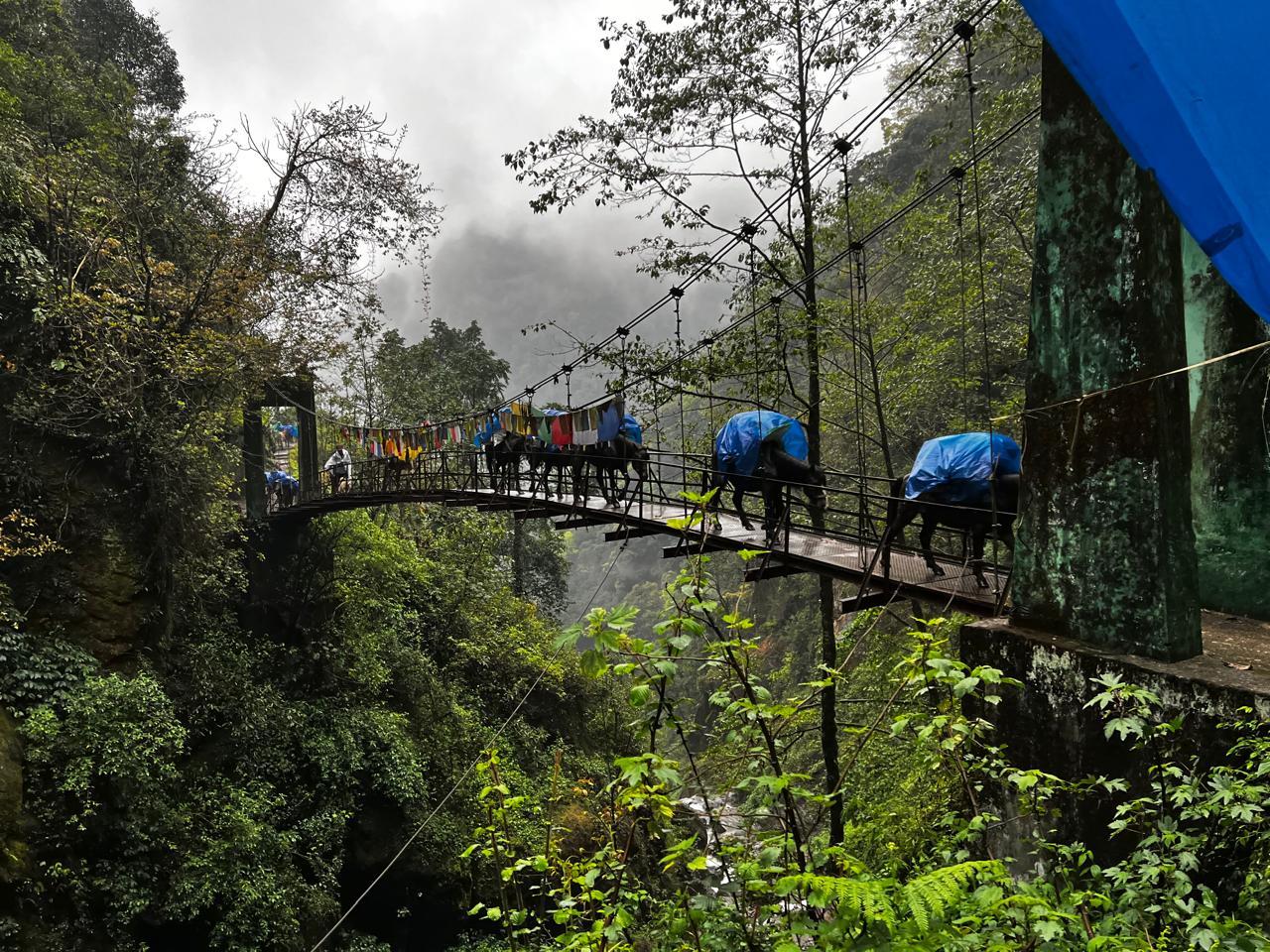
Tucked quietly in the lower folds of the Annapurna region, the Muldai Hill Trek is one of Nepal's best-kept secrets. Most trekkers walk past it on their way to Poon Hill or Annapurna Base Camp. The ones who take the turn never forget it.
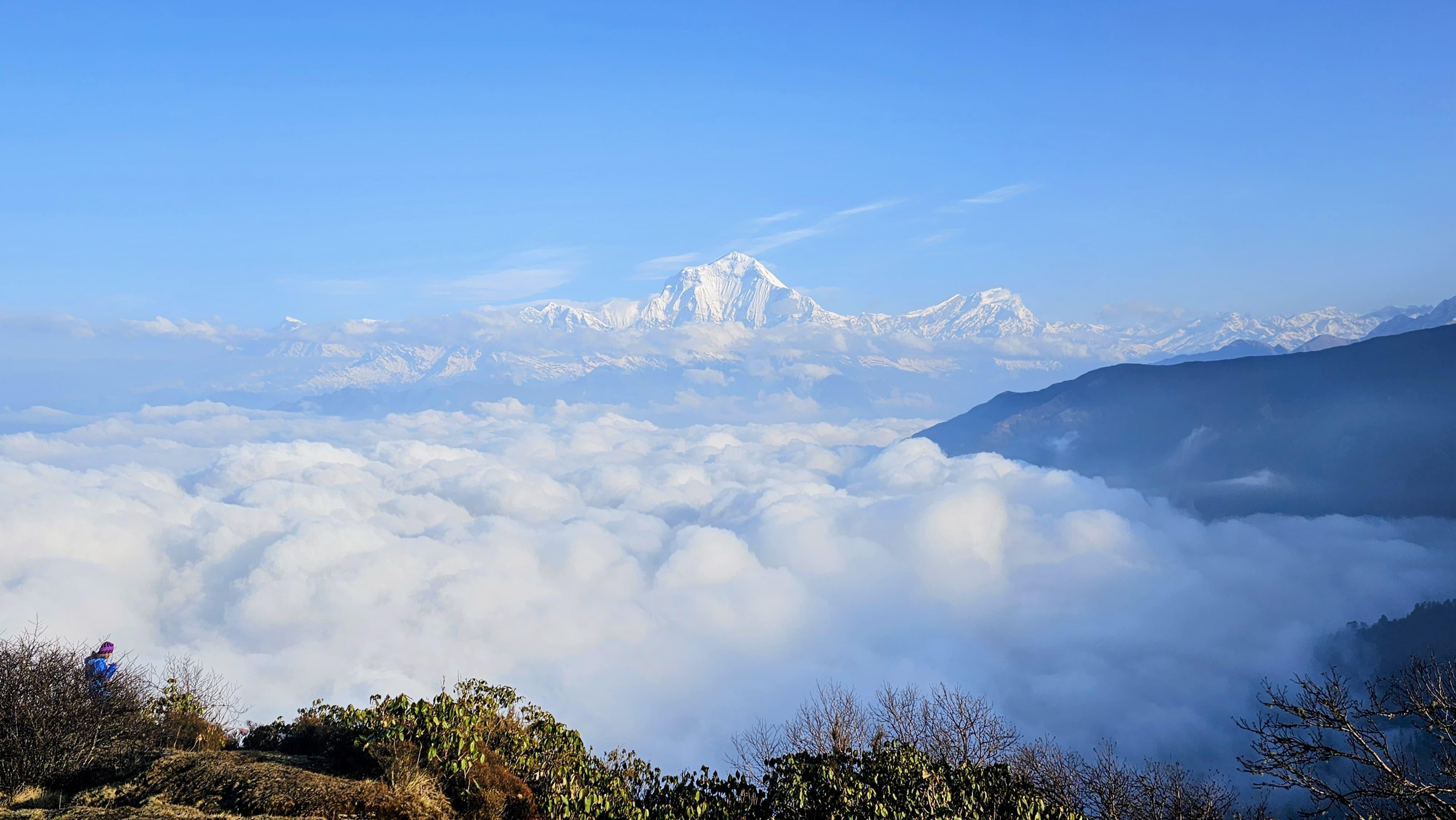
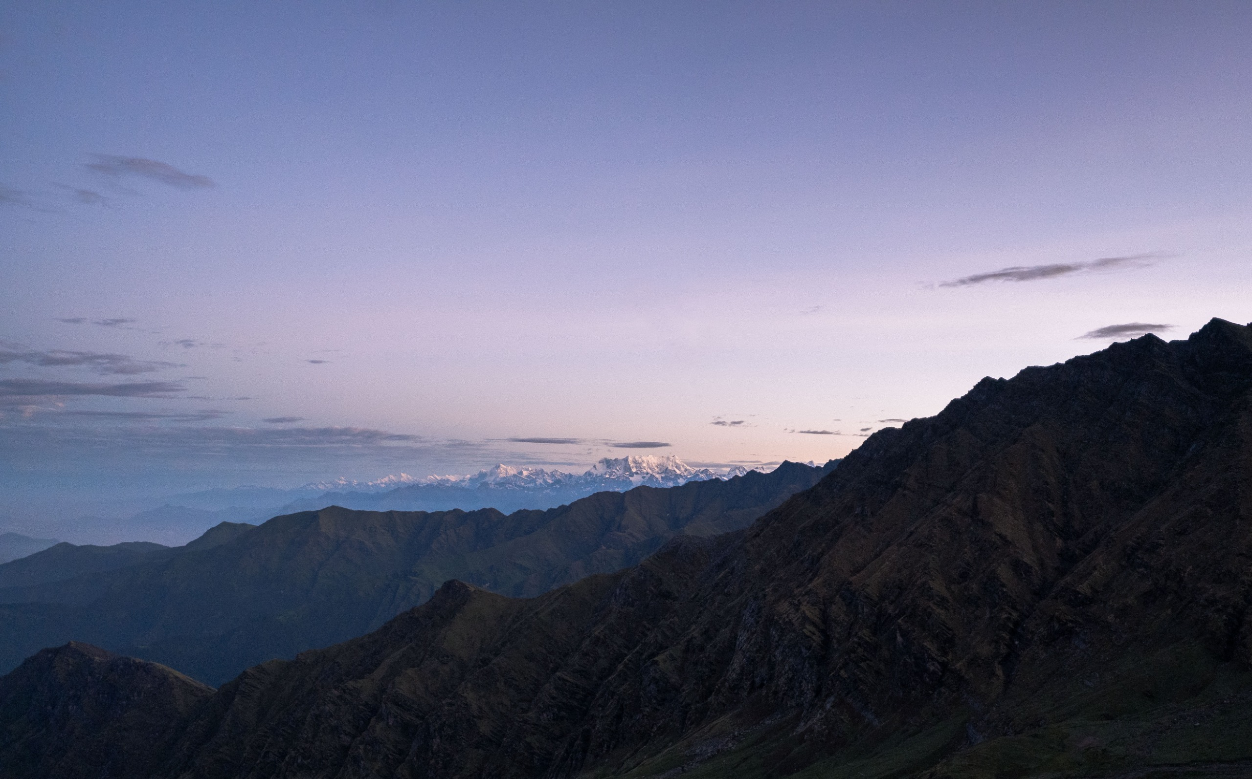
The route climbs out of Pokhara into the Gurung heartland, threading through the stone lanes of Ghandruk before ascending into the rhododendron belt above Tadapani. As you gain altitude, the forest thins and the ridgeline opens. By the time you reach Dobato, you're sleeping above the clouds, with the Annapurna and Dhaulagiri ranges laid out in front of you like a wall.
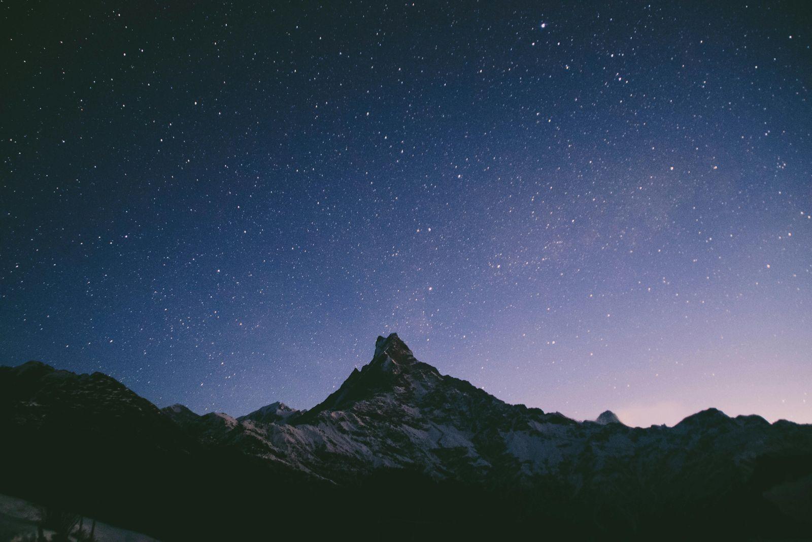
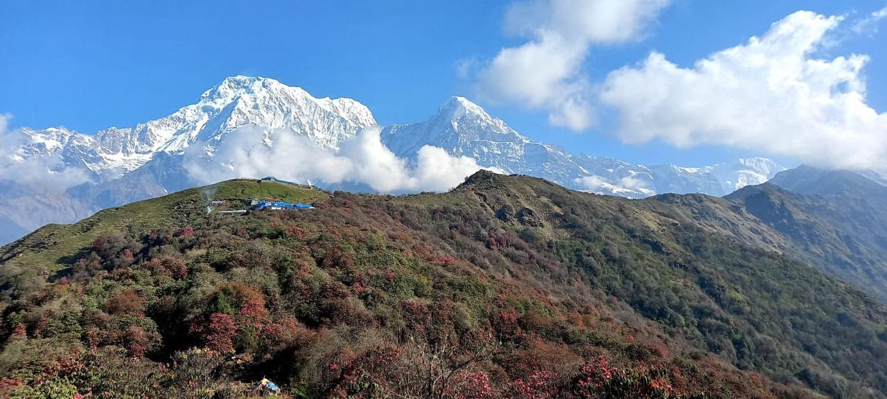
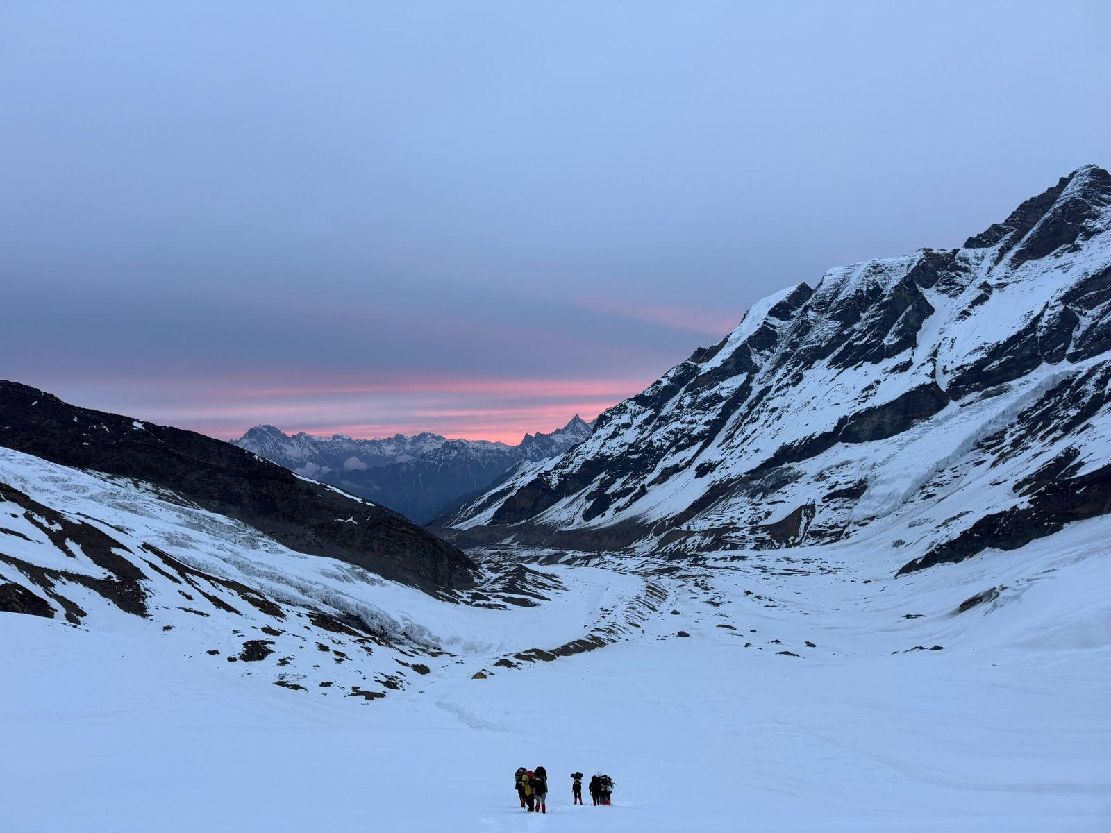
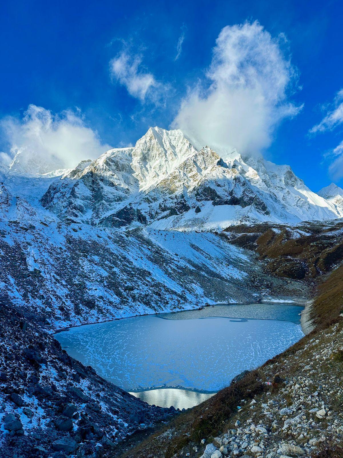
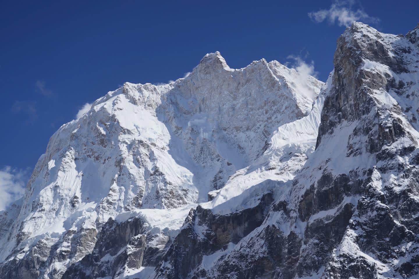
The summit push to Muldai Hill Top (3,637 m) happens pre-dawn. You go up by headlamp, arrive in the dark, and wait. Then the mountains arrive — Dhaulagiri, Annapurna South, Nilgiri, Machhapuchhre, Manaslu, and more than twenty other peaks, all catching the first light at once. It's the kind of moment that makes people stop talking.
What makes Muldai special isn't just the views. It's the absence of the usual Himalayan circus. The trails are quiet, the lodges are simple, and the experience is unmediated. You walk, you climb, you see. The descent via Ghorepani and Ulleri brings you back through lower forest and farmland, closing a loop that feels complete.
For those stepping into Himalayan trekking for the first time, Muldai is an ideal ground. The distances are honest, the altitude is manageable, and the payoff is enormous. For experienced trekkers looking for something quieter — it's equally rewarding.
Day 1
Drive Pokhara to Kimche; Trek to Ghandruk
Trek Distance: 3 km
Time Taken: 3 hrs drive and 1hr trek
Elevation Gain: Kimche (1,610 m) to Ghandruk (1,940 m)
You leave Pokhara in the morning, the city still waking as you head into the hills. The drive to Kimche (Lower Ghandruk) takes roughly three hours, winding through the Annapurna foothills with views improving with every switchback. At Kimche, the trail begins.
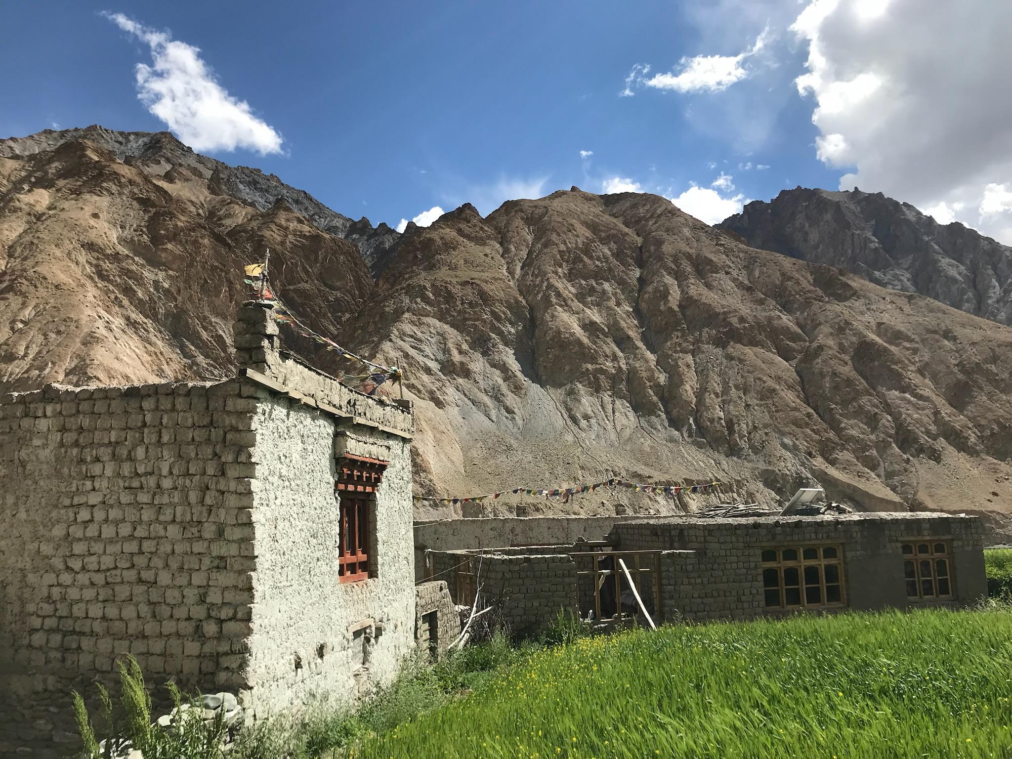
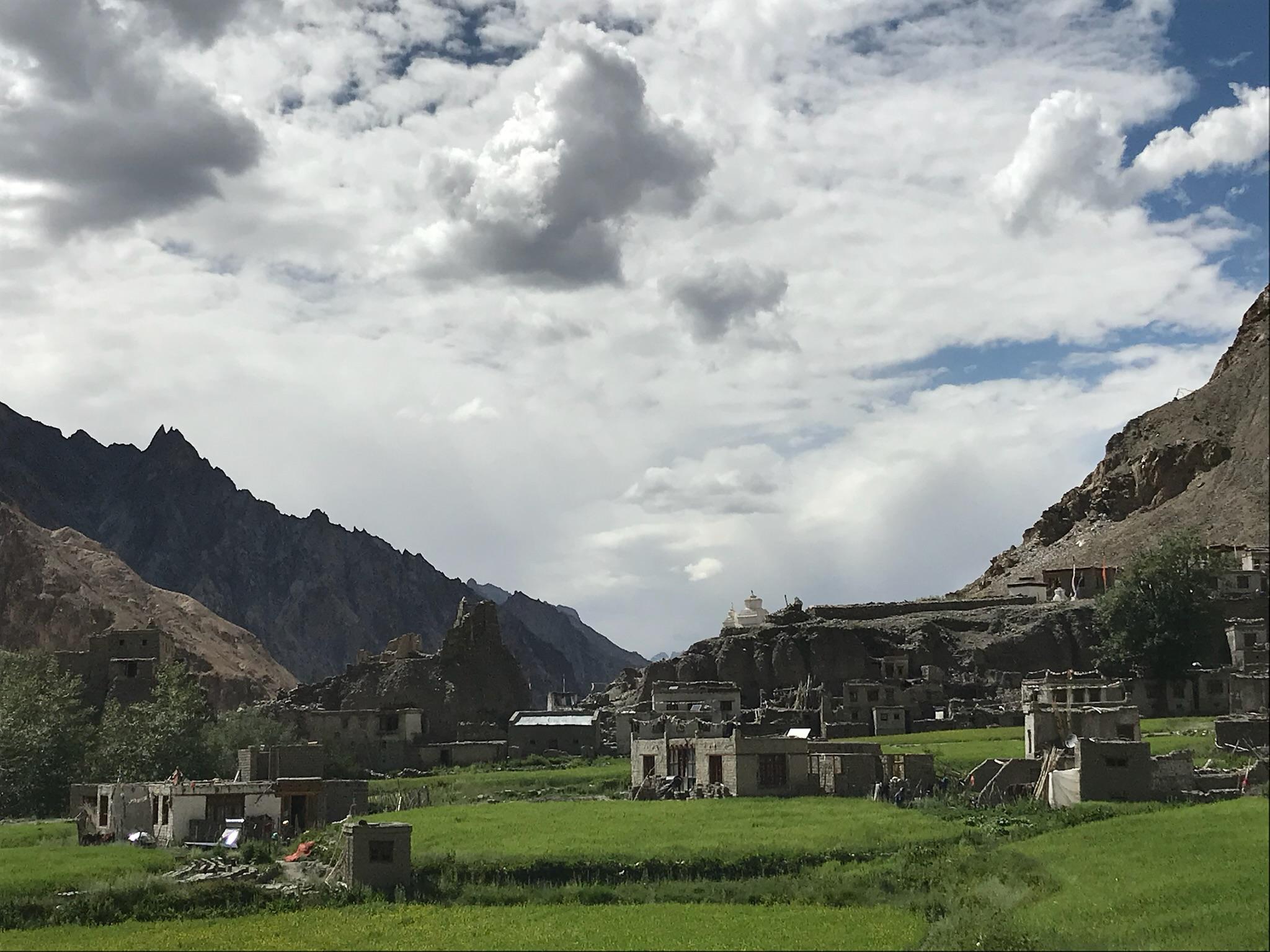
The climb to Ghandruk is short but immediate — stone steps rising through terraced fields and mixed forest, with Annapurna South and Machhapuchhre beginning to make their presence known on the skyline. Ghandruk is one of the largest and most beautiful Gurung villages in Nepal. Stone houses, slate roofs, prayer flags, women in traditional dress at doorways. You settle into the lodge, have dinner, and sleep with the mountains closer than they've ever been.
Day 2
Ghandruk to Tadapani
Trek Distance: 7 km
Time Taken: 4–5 hrs
Elevation Gain: Ghandruk (1,940 m) to Tadapani (2,650 m)
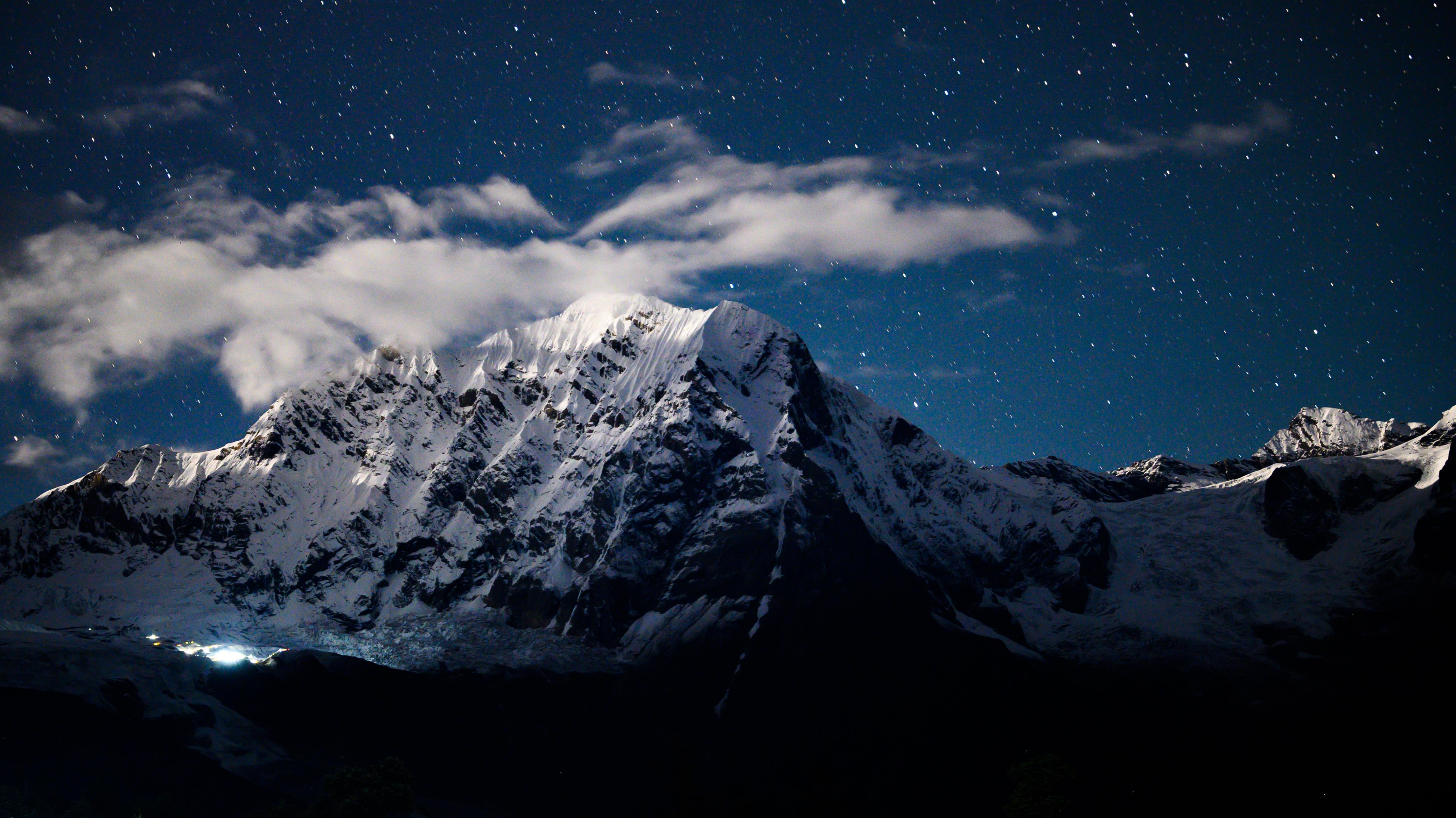
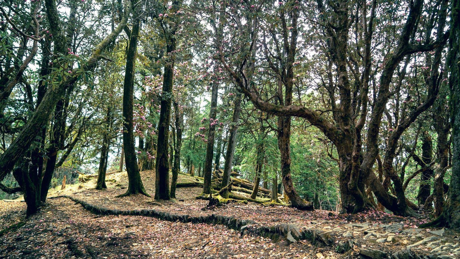
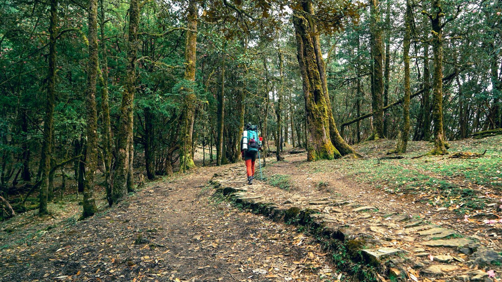
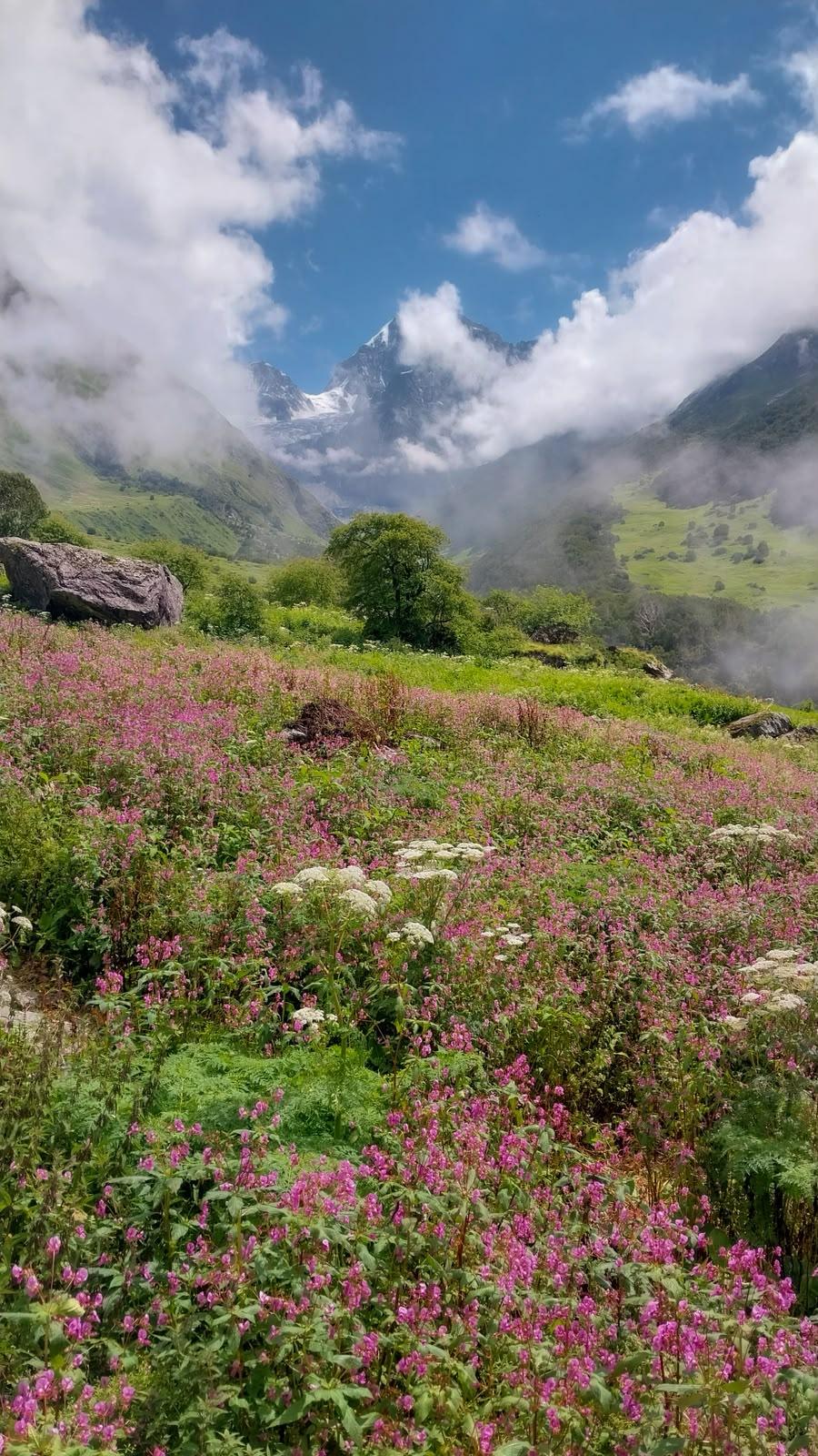
Description: This is the forest day. The trail out of Ghandruk climbs steadily through rhododendron and oak, the canopy overhead shifting colour with the season — crimson and pink in spring, deep green in the monsoon shoulder, bare and dramatic in winter. The ascent is consistent but never punishing. Occasional clearings give you glimpses of the high ridgeline ahead. Tadapani sits at the edge of the treeline, exposed and windswept, with long views south over the foothills and north toward the big peaks. You're above the valley now. The air is noticeably thinner. Dinner is hot, the conversation good, and the stars — if the sky is clear — are worth staying up for.
Day 3
Tadapani to Dobato
Trek Distance: 6.5 km
Time Taken: ~5–6 hrs
Elevation Gain: Tadapani (2,650 m) to Dobato (3,350 m)
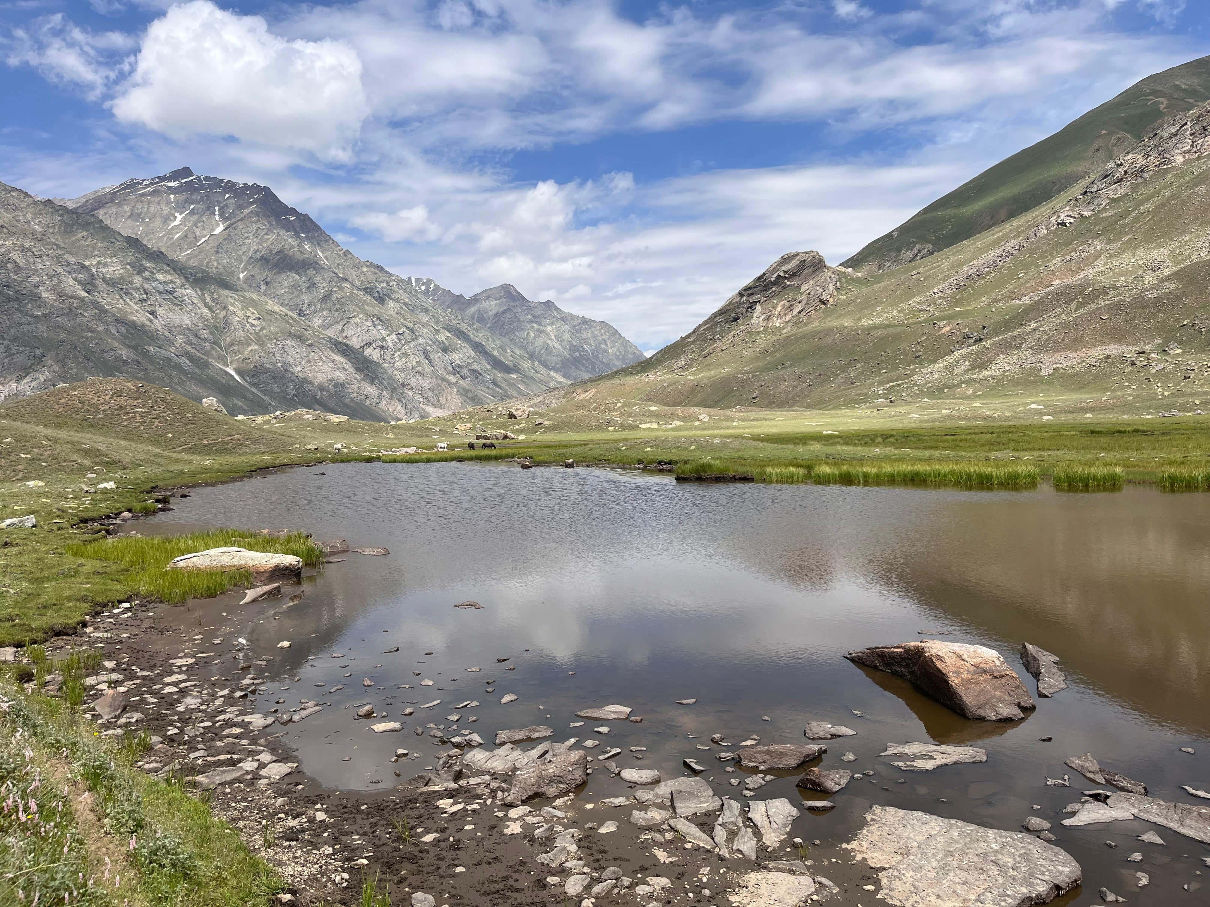
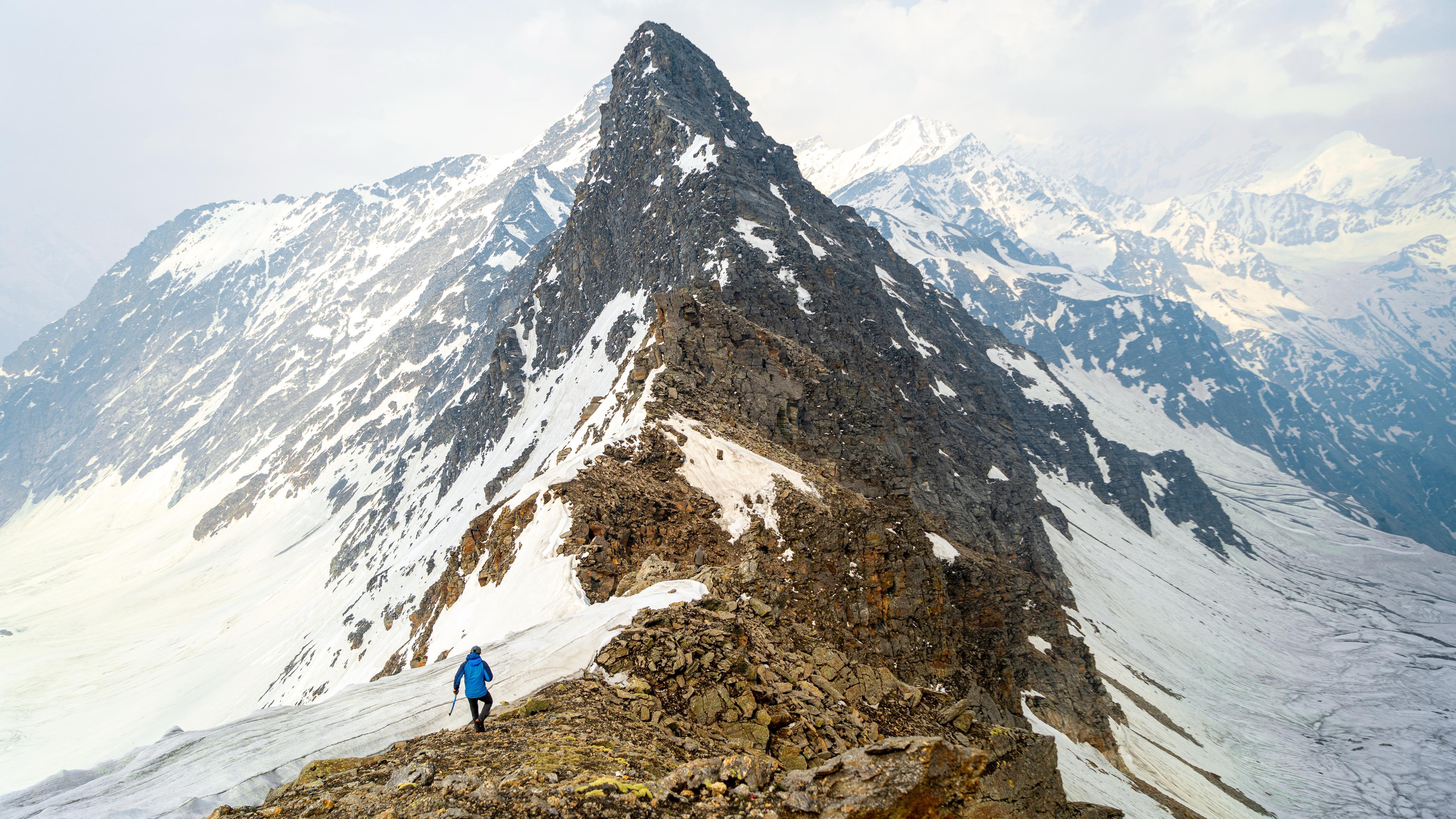
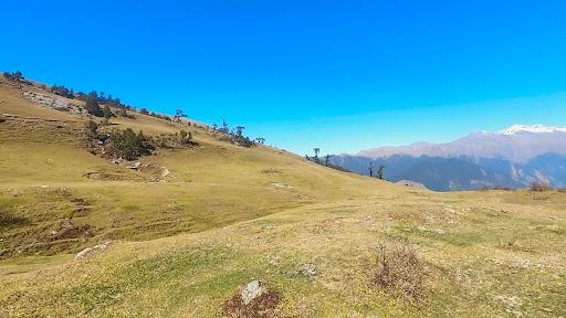
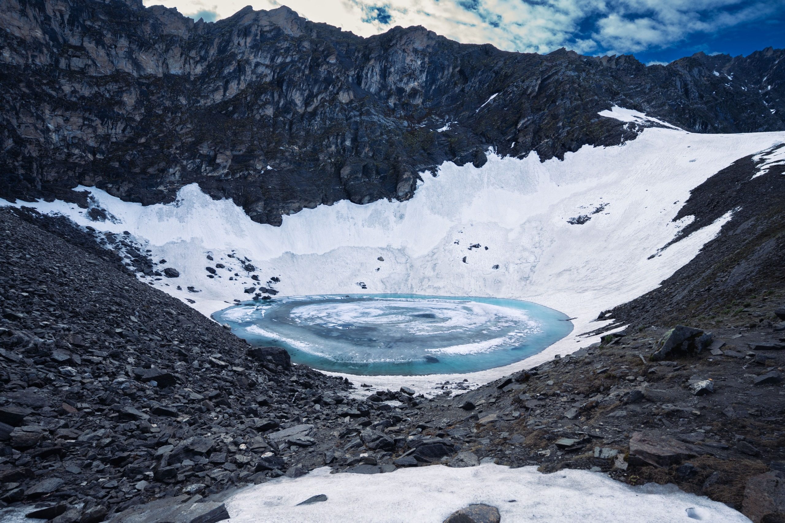
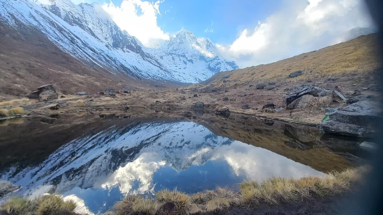
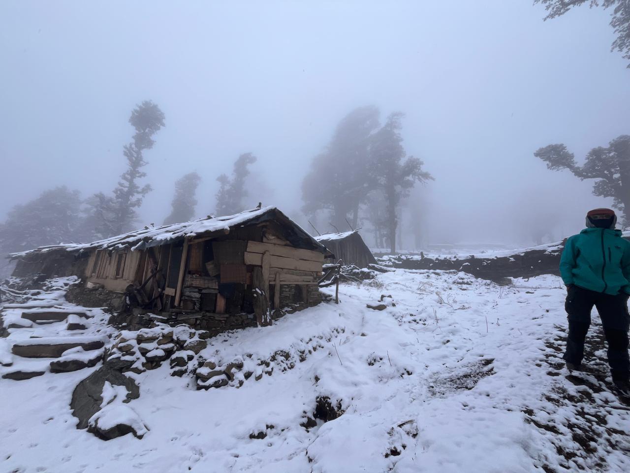
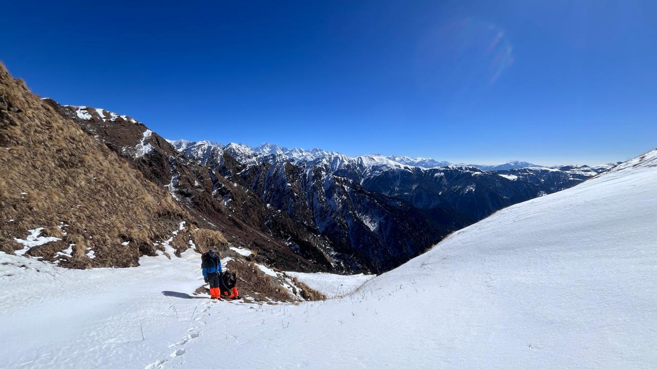
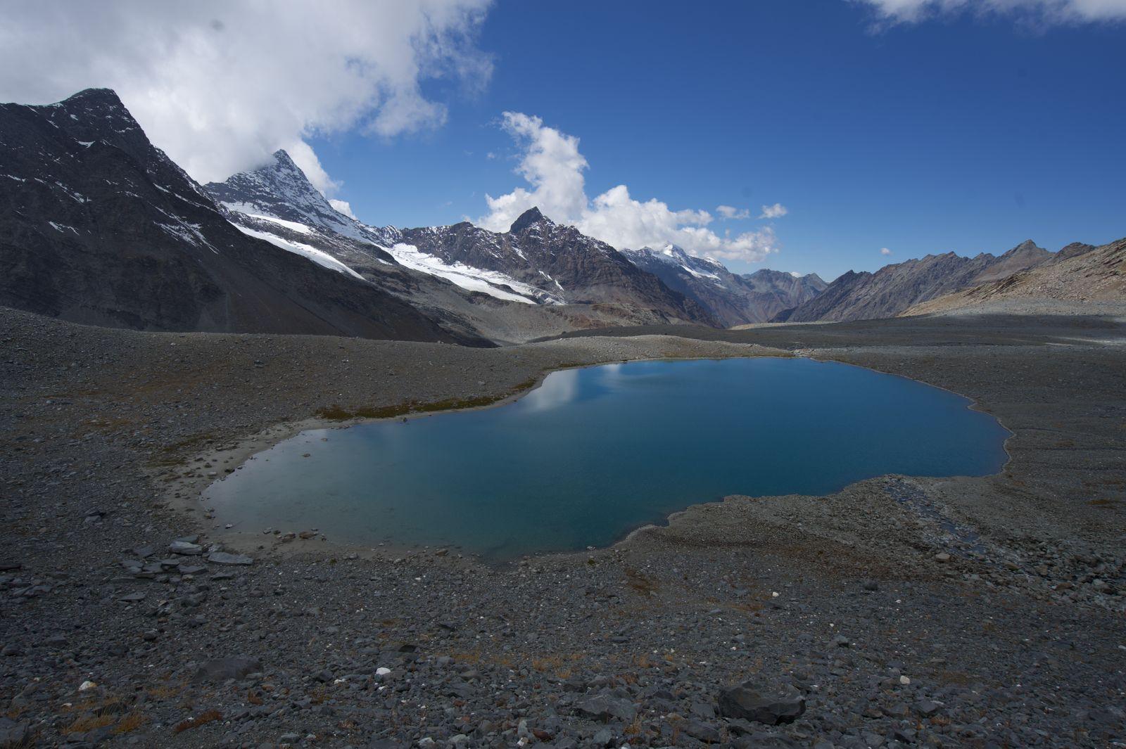
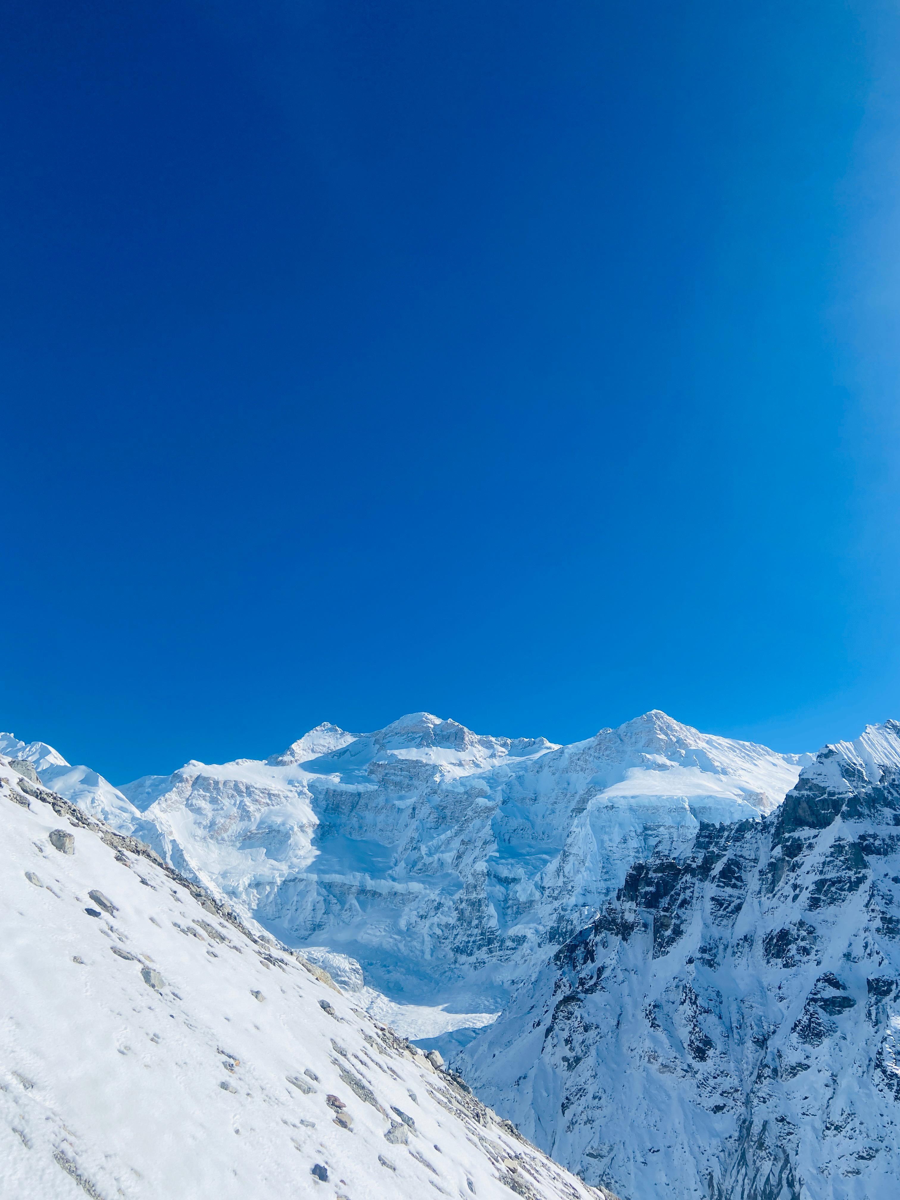
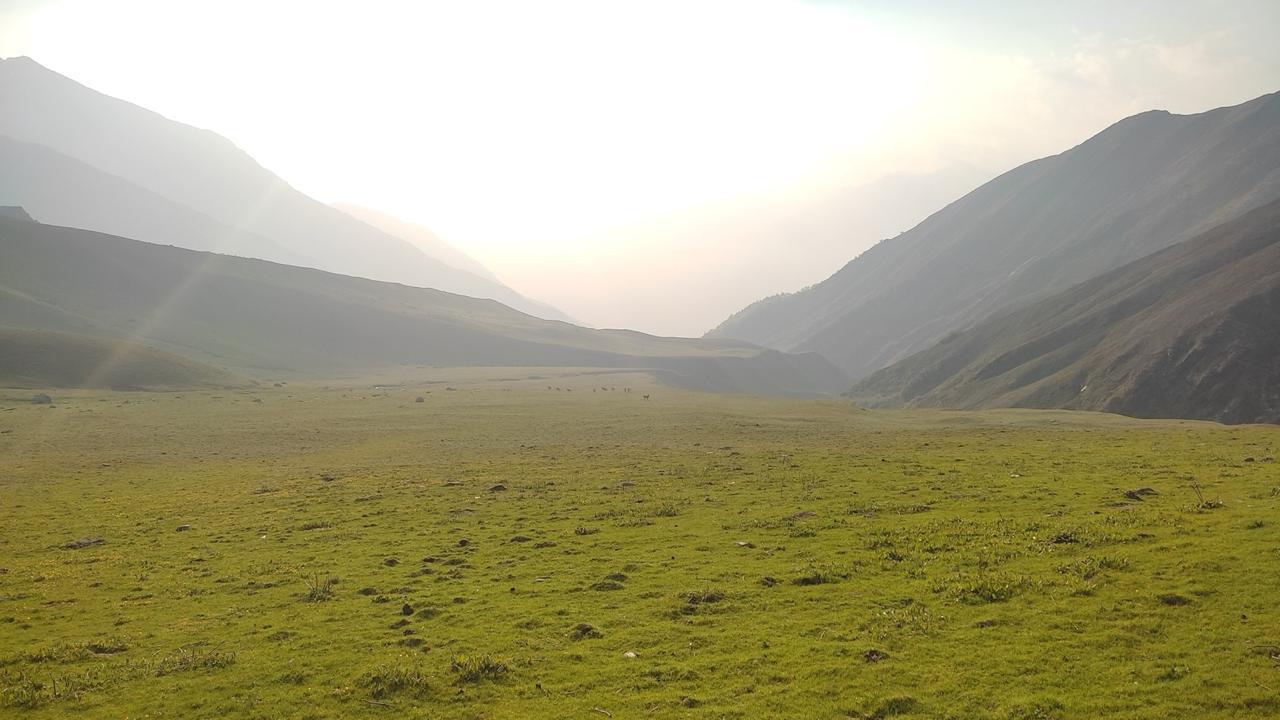
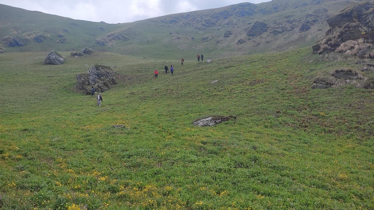
The landscape changes today. The forest recedes and the terrain opens into wide alpine pasture — low-growing shrubs, open sky, and the ridge beginning to feel like the edge of something. The trail to Dobato gains significant altitude, and you'll feel the effort in your legs and your lungs. Take it steadily. The reward is arriving at Dobato, a small cluster of lodges perched on the ridge, with Dhaulagiri and the Annapurnas filling the western and northern horizon. On a clear afternoon you can already see Muldai Hill above you, the viewpoint you'll be standing on before sunrise tomorrow. Rest well. Tonight is an early one.
Day 4
Summit Muldai Hill ; Descend to Ghorepani
Trek Distance: 9 km (summit followed by descent to Ghorepani)
Time Taken: 6-7 hrs total
Elevation Gain / Loss: Dobato (3,350 m) to Ghorepani (2,874 m) via Muldai Hill (3,637 m)
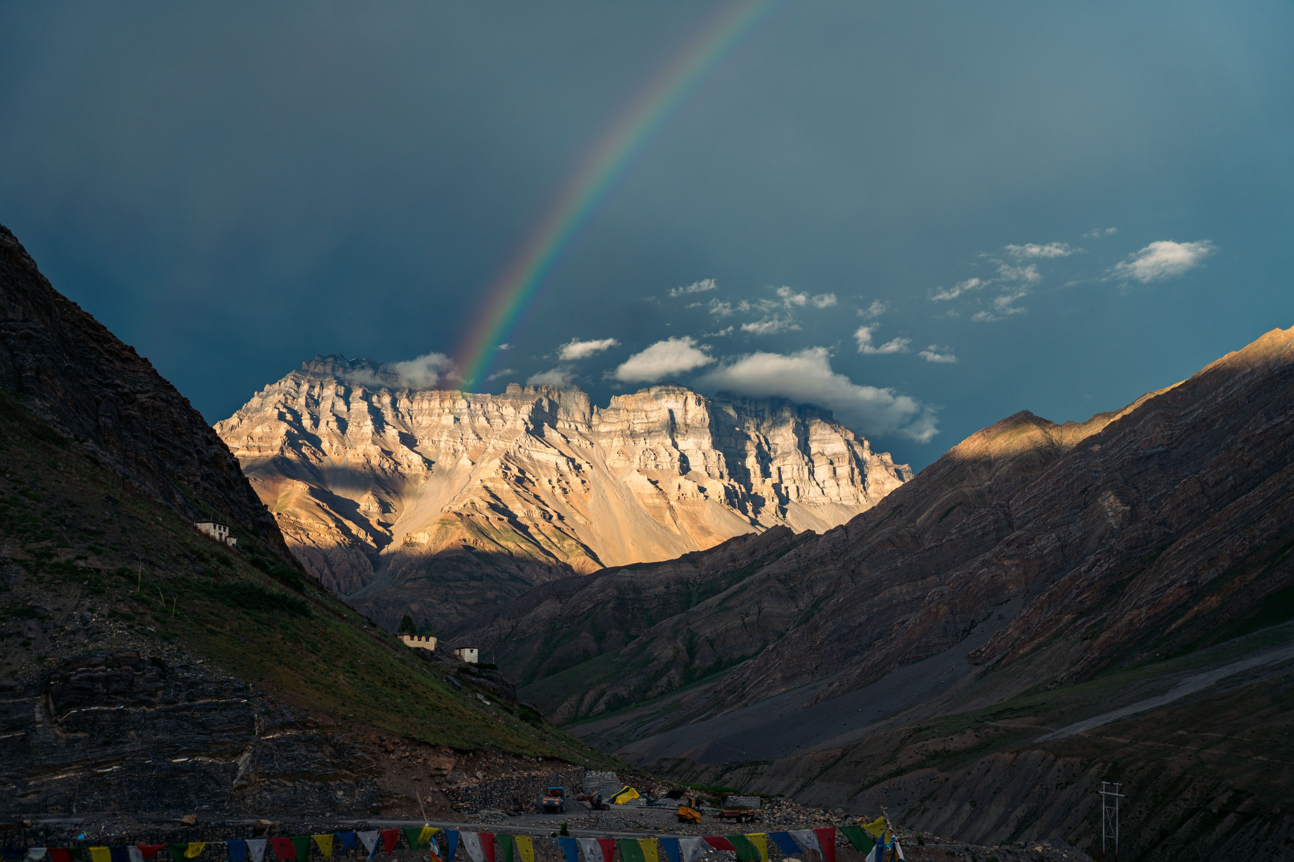
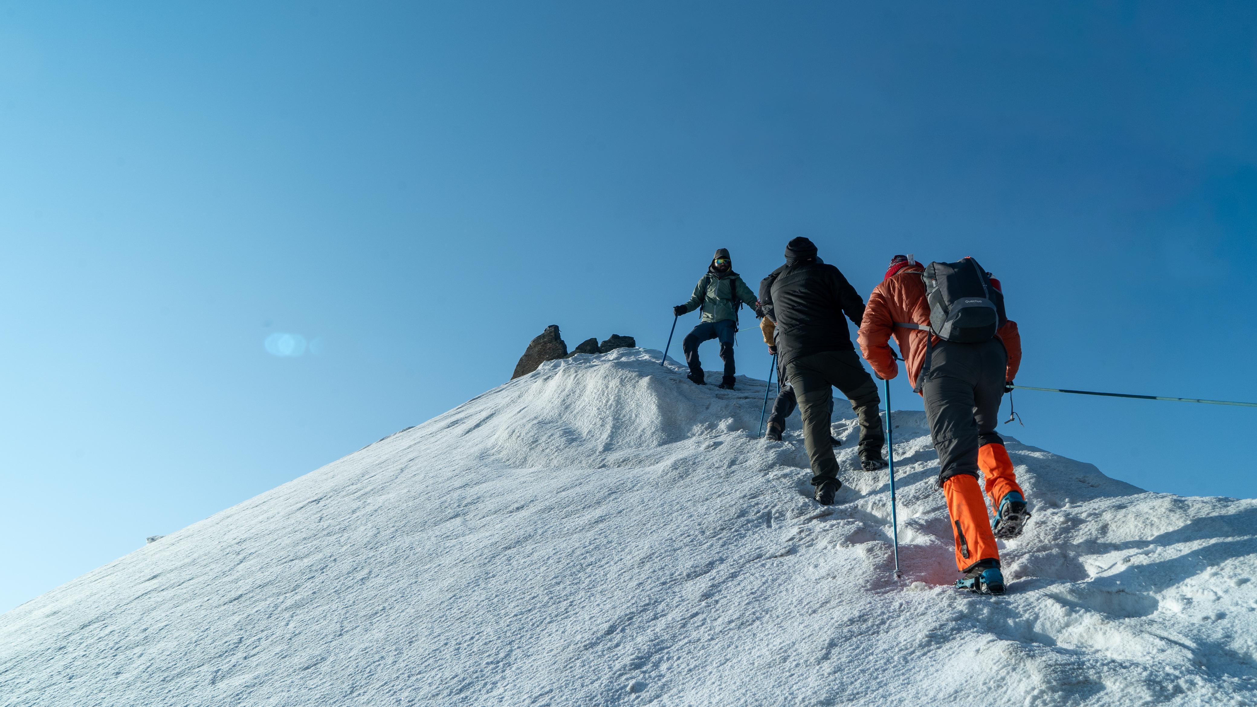
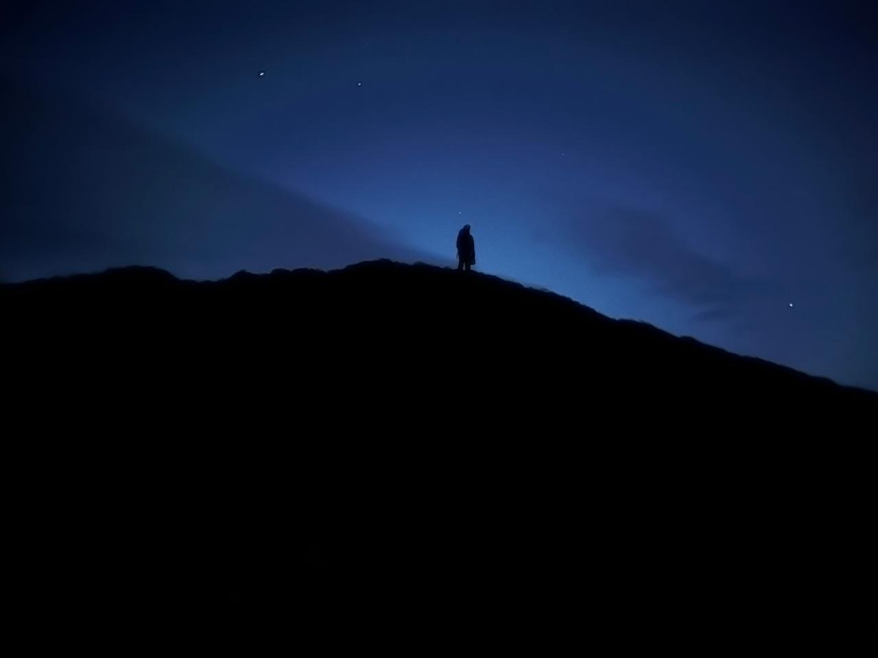
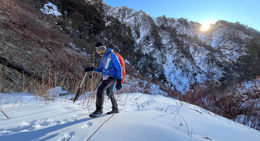
Alarm at 4:30 AM. Headlamps on, the cold sharp and immediate. The climb from Dobato to Muldai Hill Top takes about 45 minutes to an hour on a dark trail that is quiet except for your own breath and footfall. At the top, you wait.
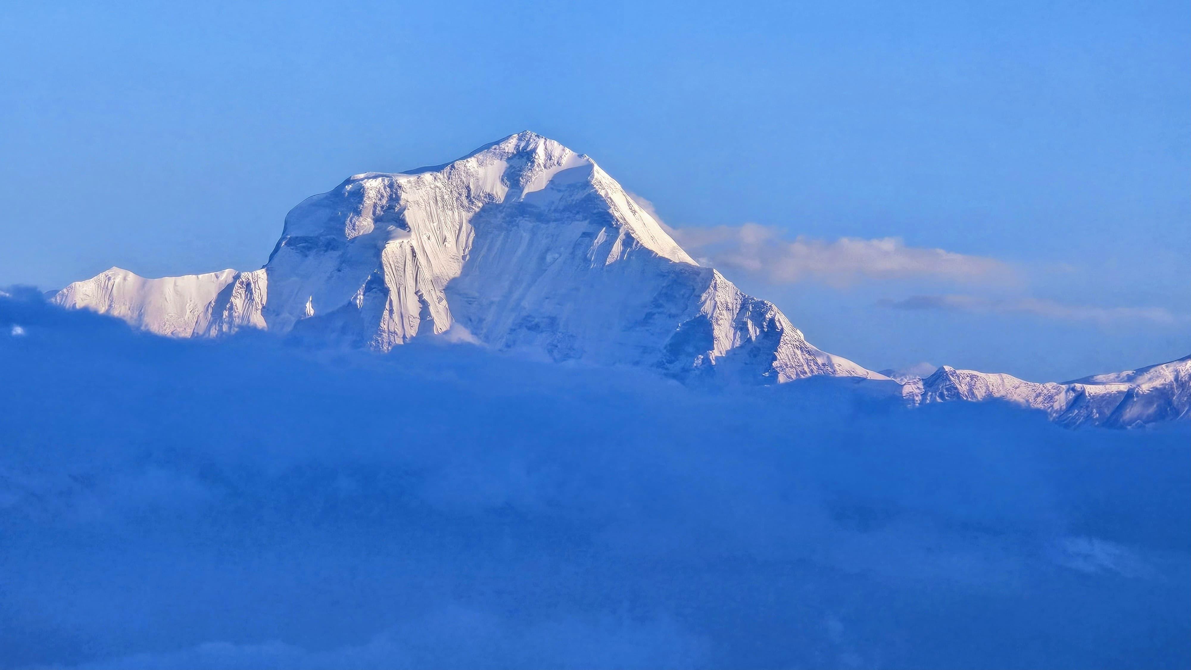
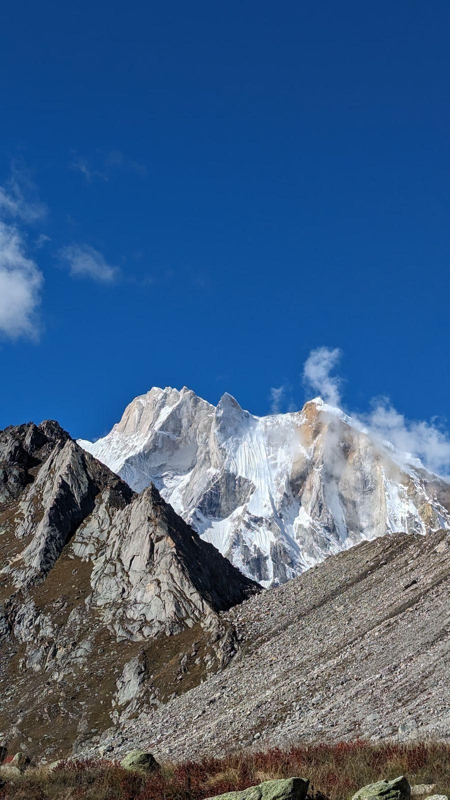
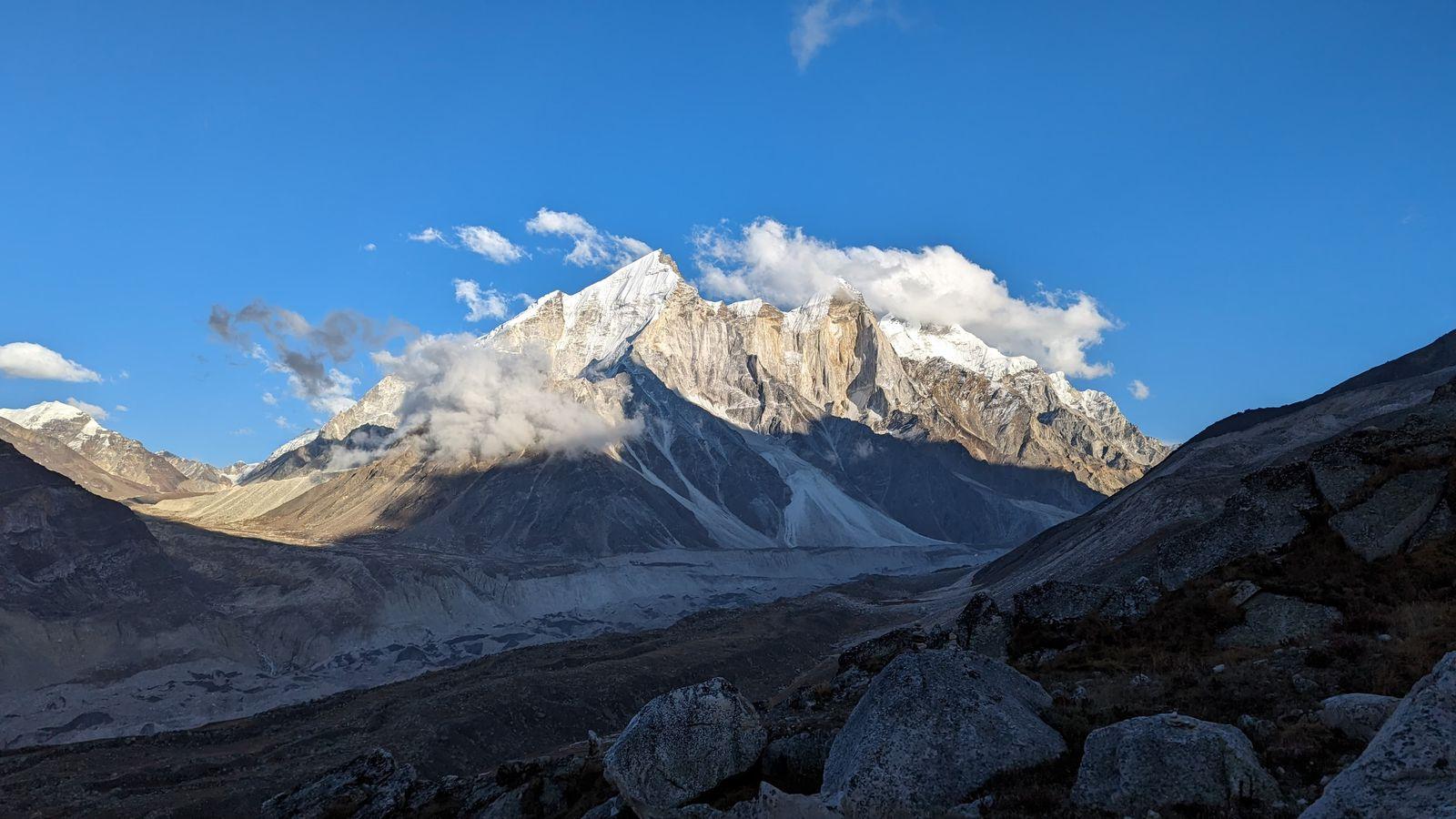
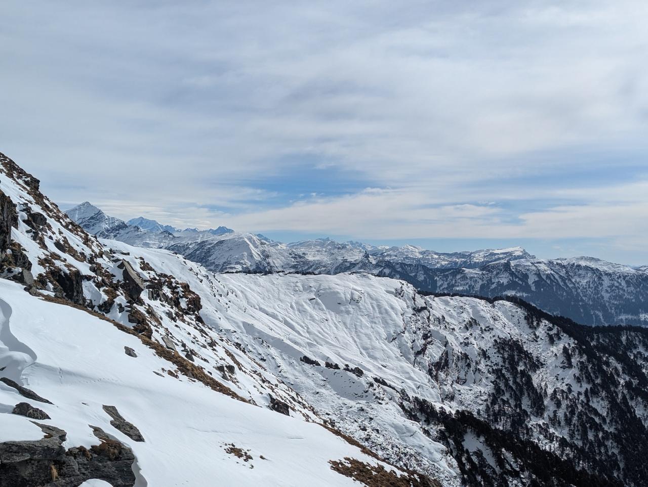
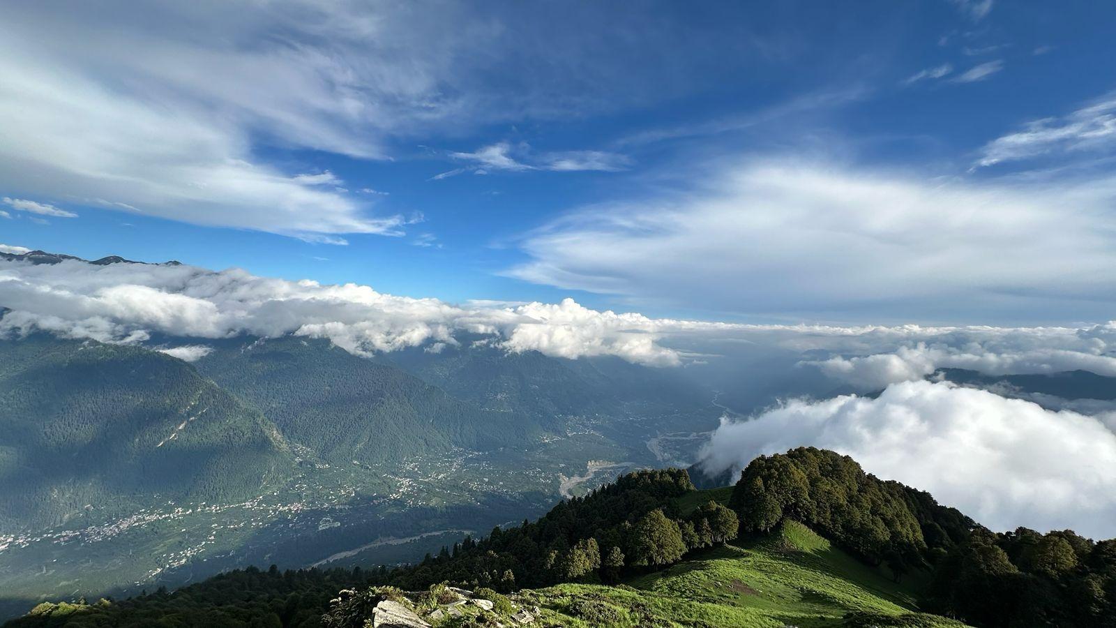
Then the sky begins to lighten from the east, and the mountains arrive one by one. Dhaulagiri - the world's seventh-highest peak at first. Then the Annapurna massif, Nilgiri, Manaslu, Machhapuchhre, Gangapurna, Lamjung Himal. More than twenty peaks in a single frame, no telephoto required. The sunrise paints them all in the same gold and rose that makes every photograph from this viewpoint look almost too good to be true.
After the moment settles, you descend back to Dobato for breakfast, then continue down toward Ghorepani. The trail drops through forest, the air warming as you lose altitude. Ghorepani is a livelier spot which is popular enough to have a proper menu and reliable hot water. You've earned both.
Day 5
Trek to Ulleri; Drive to Pokhara
Trek Distance: 13 km
Time Taken: 4-5 hrs trek and 3 hrs drive
Elevation Loss: Ghorepani (2,874 m) to Hile (1,480 m)
The final morning in the mountains. The trail descends through Gurung villages and forest, the green thickening as you drop altitude, warmth returning to the air. Ulleri marks the last major trek section before the trail opens out to the road at Hile. From here, the vehicle takes you back to Pokhara, a two to three hour drive through the hills, arriving in the city by mid-afternoon.
Disclaimer
This is a remote trek in a high-altitude environment with inherent risks. By joining, you acknowledge and accept the following:
- Itinerary is Subject to Change: The trek is highly dependent on weather and trail conditions. The trek leader's decisions on any itinerary changes will be final in the interest of safety.
- Medical Responsibility: While Odyssey provides a trained trek leader and a medical kit, you are responsible for your own health. All pre-existing medical conditions must be disclosed before the trek.
- Altitude Risk: This trek reaches altitudes above 10,000 ft. There is an inherent risk of Acute Mountain Sickness (AMS). Acclimatisation is a gradual process and there is no guarantee of reaching the summit viewpoint.
- No Easy Exit: Due to the nature of the route, evacuation from mid-trail would be complex and time-consuming.
Fitness Required
- Participants should be able to run continuously for at least 120 minutes at a Zone 2 pace.
- Must be regular with a strength and cardio routine.
- Prior high-altitude trek experience is preferred but not mandatory for this grade.
Our Expectation from Participants
- No major medical history or injuries in the 2 months preceding the trek.
- Minimum of 3 months of consistent fitness training before departure.
- Medical clearance certificate from an MBBS doctor to be submitted prior to joining.
- Good quality trekking gear (jacket, trekking shoes, rucksack, etc.)
Inclusion
Exclusion
SELECT DATE TO REGISTER


Thank You!
Your form has been submitted successfully. We'll get back to you soon.
₹ 28,999 + 5% GST