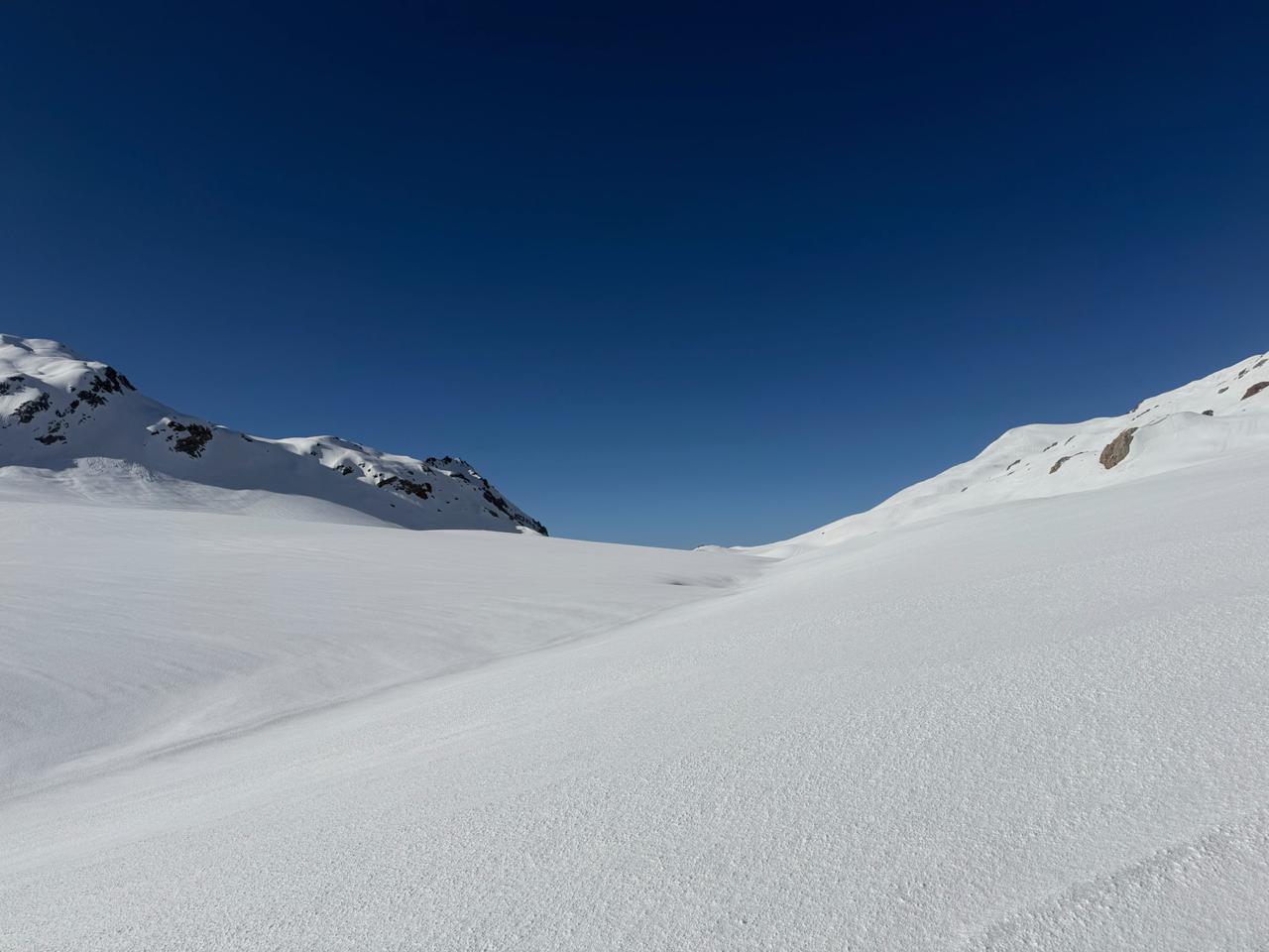
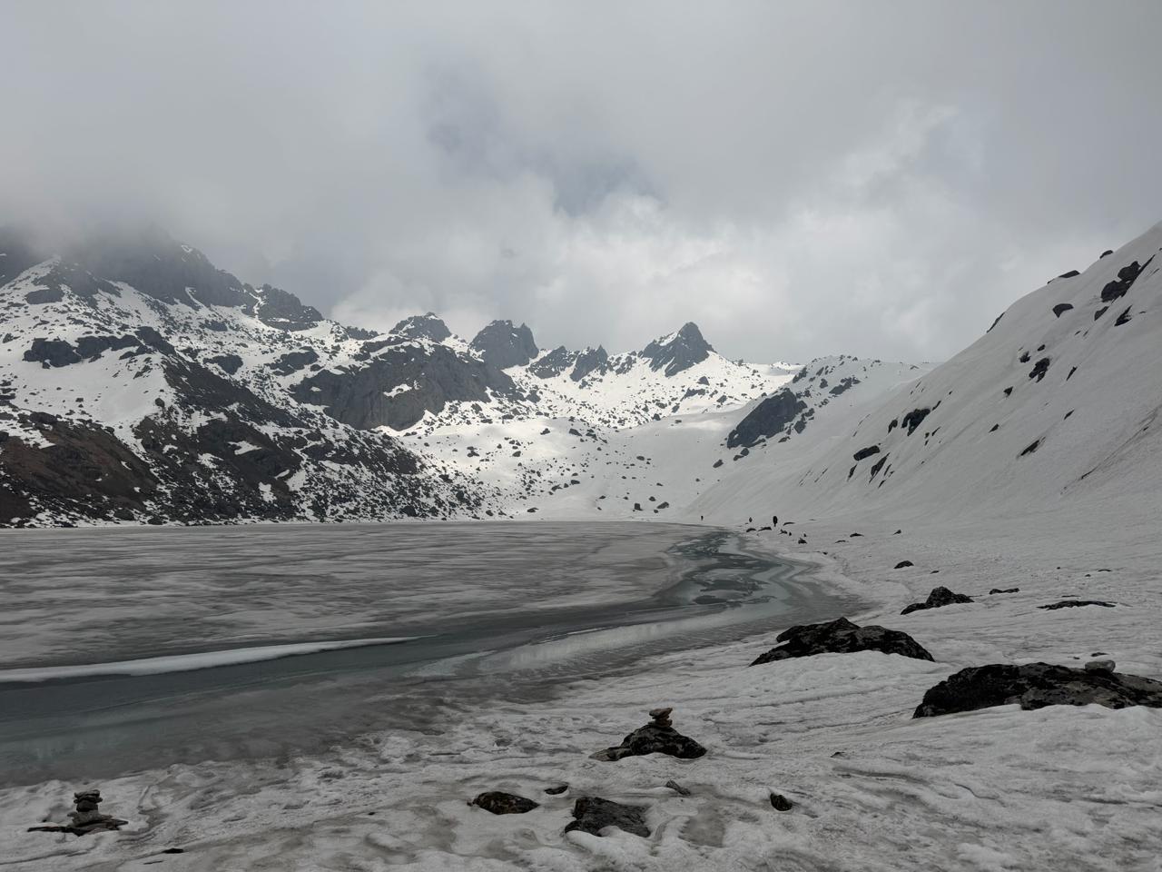
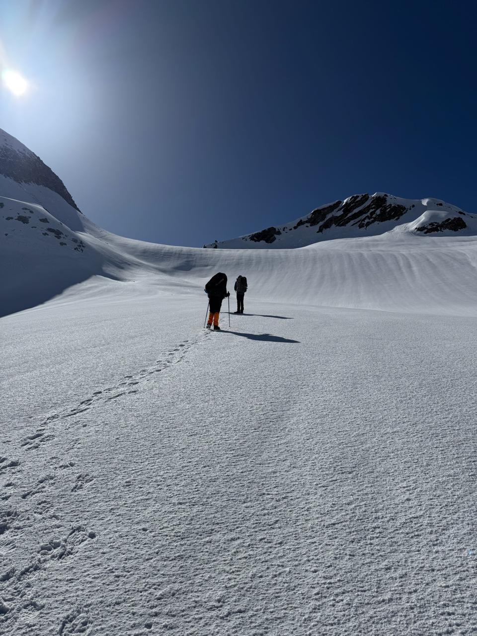


There's a version of the Garhwal Himalaya that most people never see, not because it's hidden, but because it asks more of you than the well-worn trails do. Mayali Pass is that version.
You begin in Guttu, where the road ends and the walking begins, and follow the Bhilangna river upstream through pine and rhododendron forest to Reeh. From there the trail climbs steadily through Kalyani and on to Kharsoli, past the kind of remote mountain villages that still run on their own rhythm, largely untouched by the pilgrim traffic further east. At Chowki, the Khatling Glacier comes into view for the first time, and the character of the trek changes from forest and village to moraine, ridge, and open alpine ground.
What follows is the heart of the expedition: a long climb to Masar Tal, a glacial lake that few trekkers ever reach, and then the pass itself. Mayali is not a gentle crossing. The descent on the far side runs steep and technical, often requiring fixed rope, before easing down to Vasuki Tal, a lake held beneath the peaks of the Kedarnath massif.
From there, the trail brings you down into pilgrim country, ending at the Kedarnath temple and, a day later, at Gaurikund, where the drive back to Rishikesh begins.
It's a trek that moves through several different mountains in the space of ten days - forested valley, remote village, glacier, high pass, sacred ground. It demands fitness, sound judgement, and a willingness to be uncomfortable for a while. What it gives back is a genuine sense of having crossed something, not just walked through it.
Day 1
Drive from Rishikesh to Guttu. Trek to Reeh
Distance: 140 km drive ; 10 km trek
Time: 7–8 hrs drive ; 4-5 hrs trek
Elevation Gain: 800 m
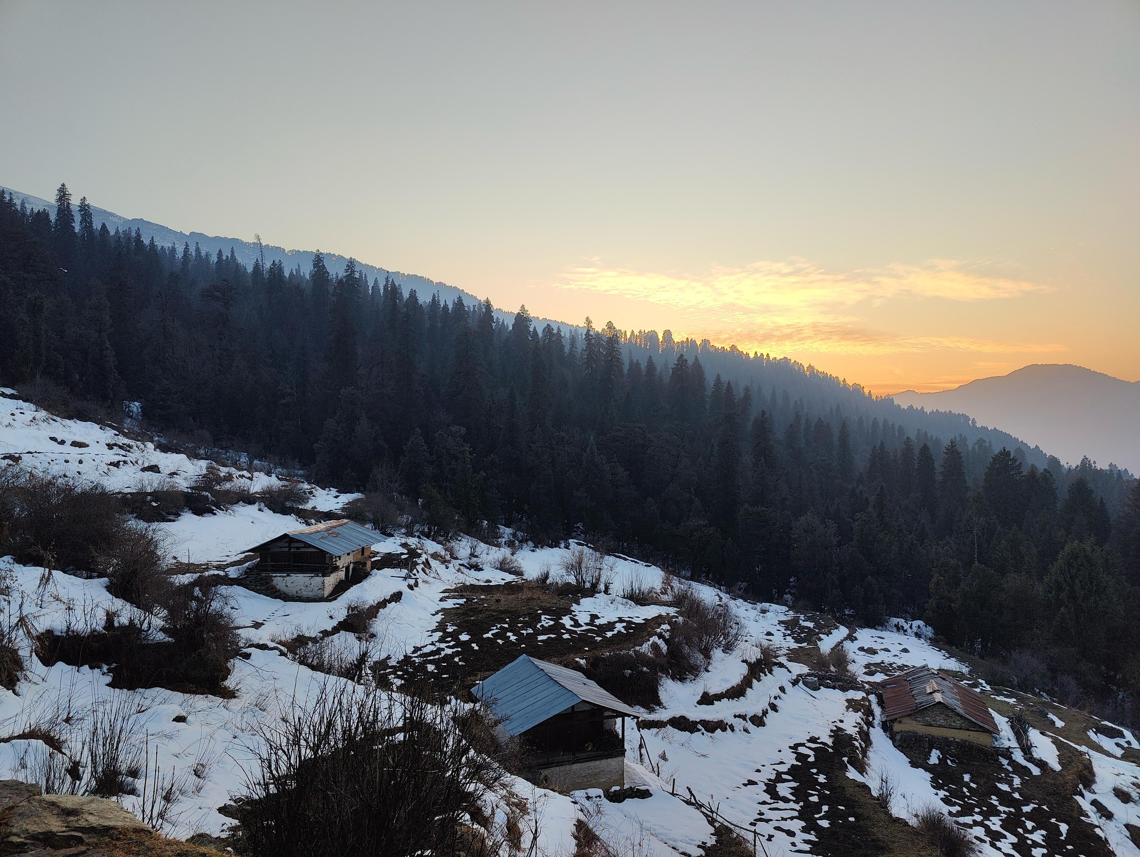
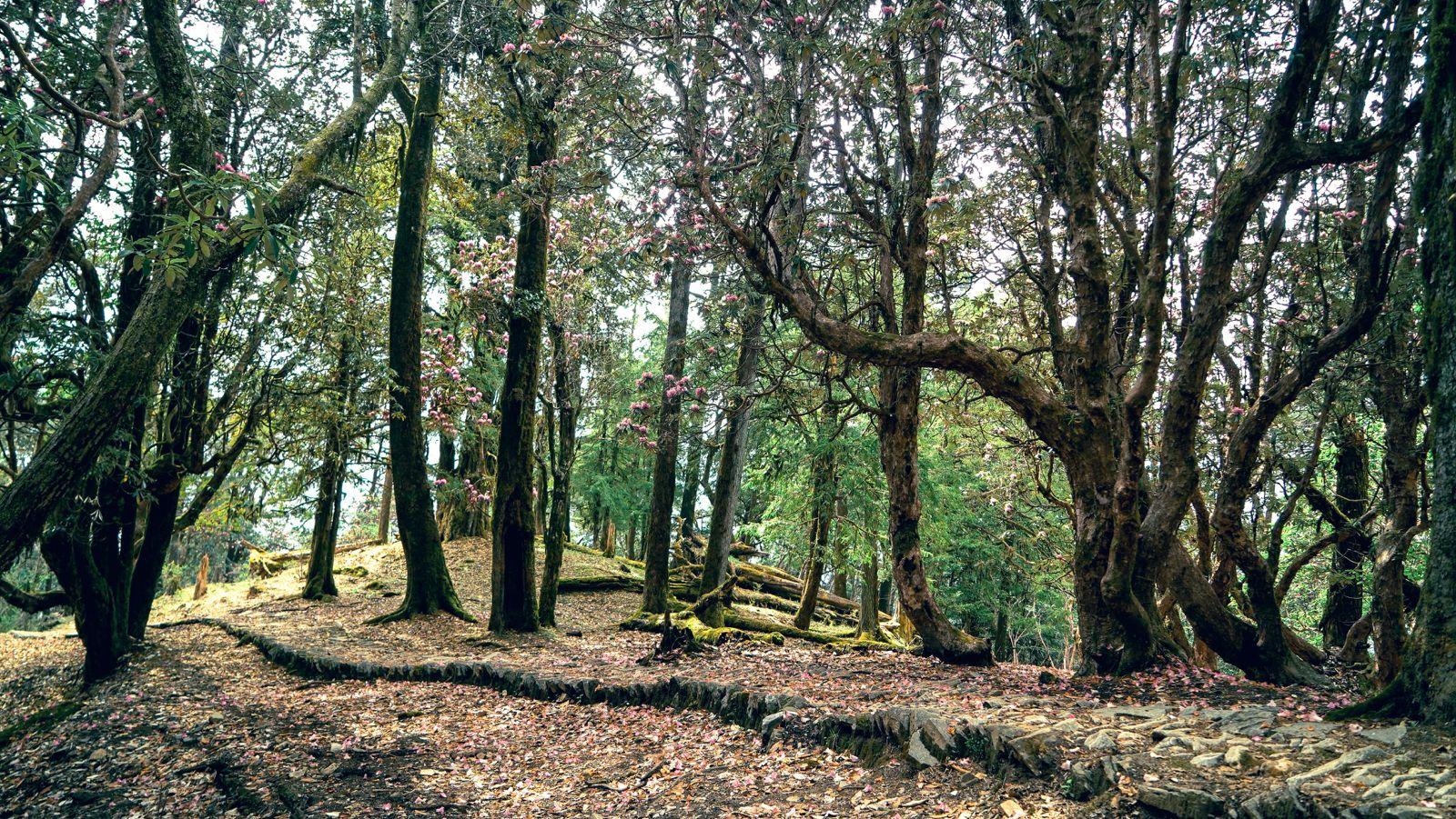
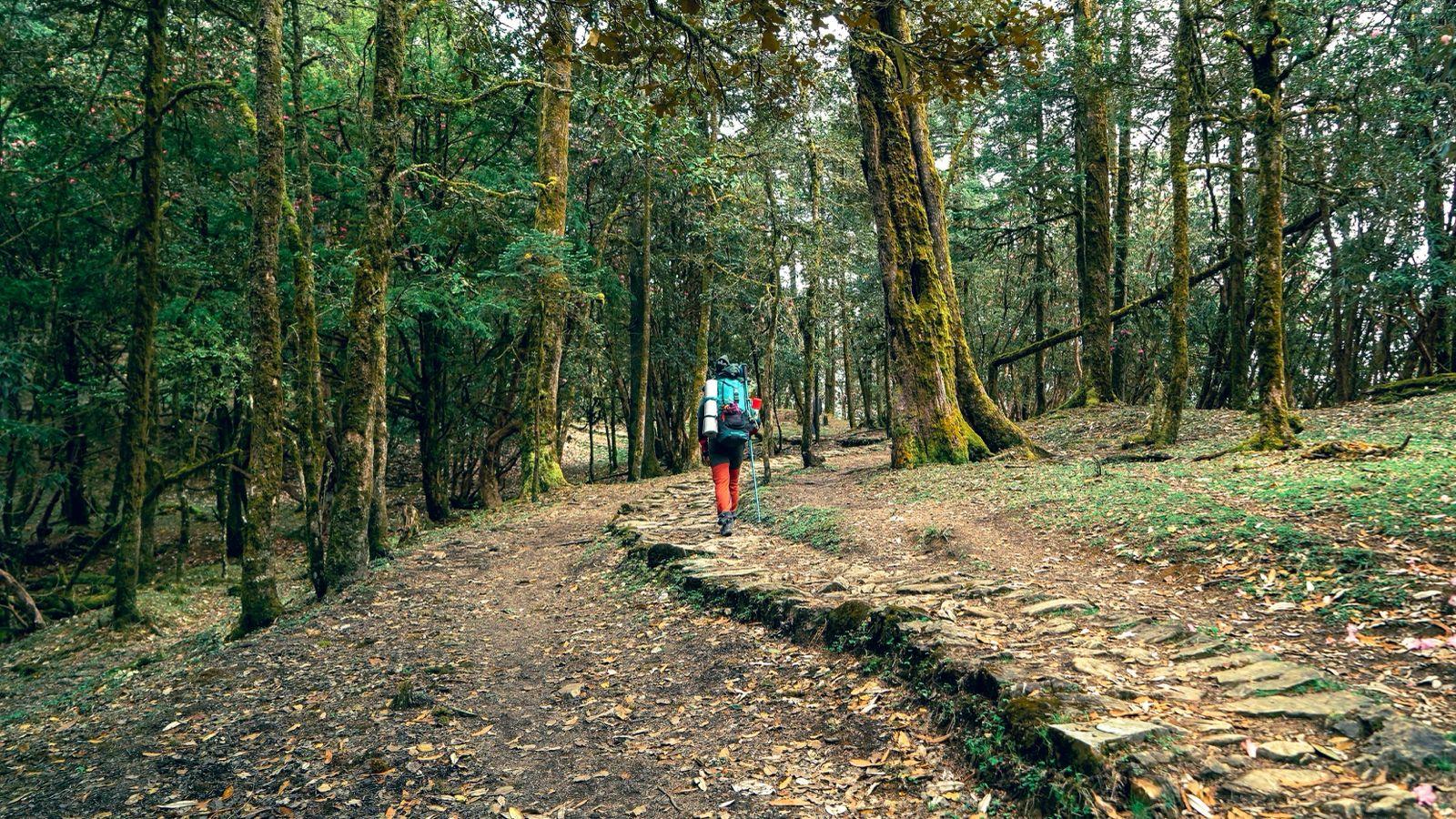
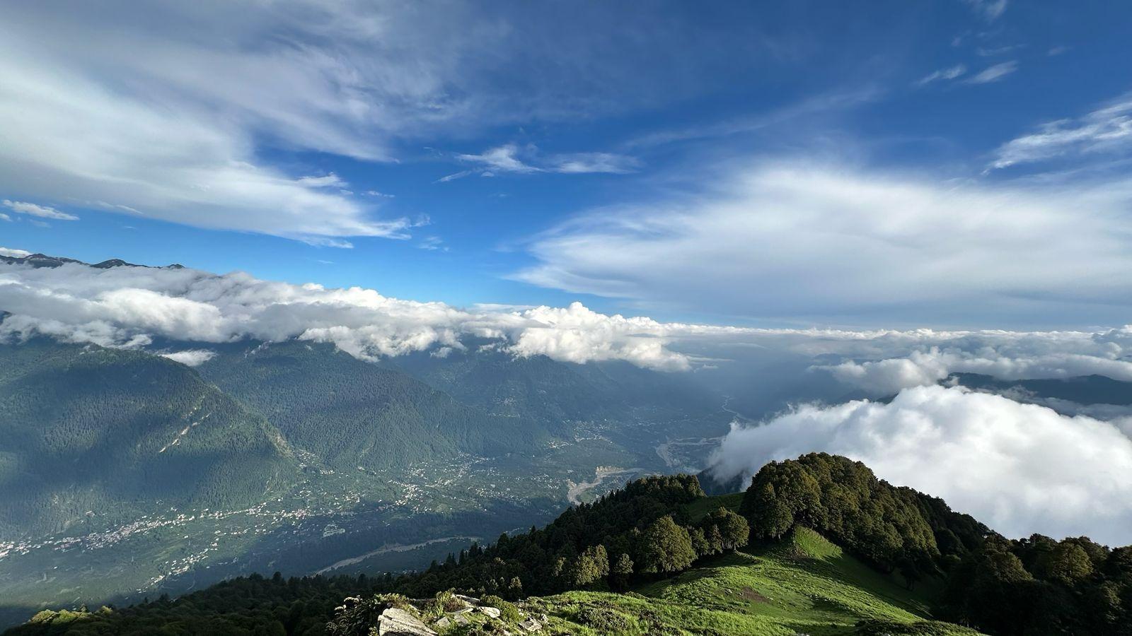
The journey begins early, tracing the road out of Rishikesh toward Ghansali and on to Guttu, the last motorable point before the trek proper starts. From Guttu, the trail follows the Bhilangna river, mostly along dirt road and open ground that can turn hot by mid-morning. An early start helps here. The path then climbs into pine forest, with rhododendron and bamboo lining the route, before reaching the camp at Reeh.
Note : There is an off-road track that goes very close to Reeh. In case the track is open, we will drive till Reeh.
Day 2
Reeh to Kalyani
Distance: 11 km
Time: 6-7 hrs
Elevation Gain: 500 m
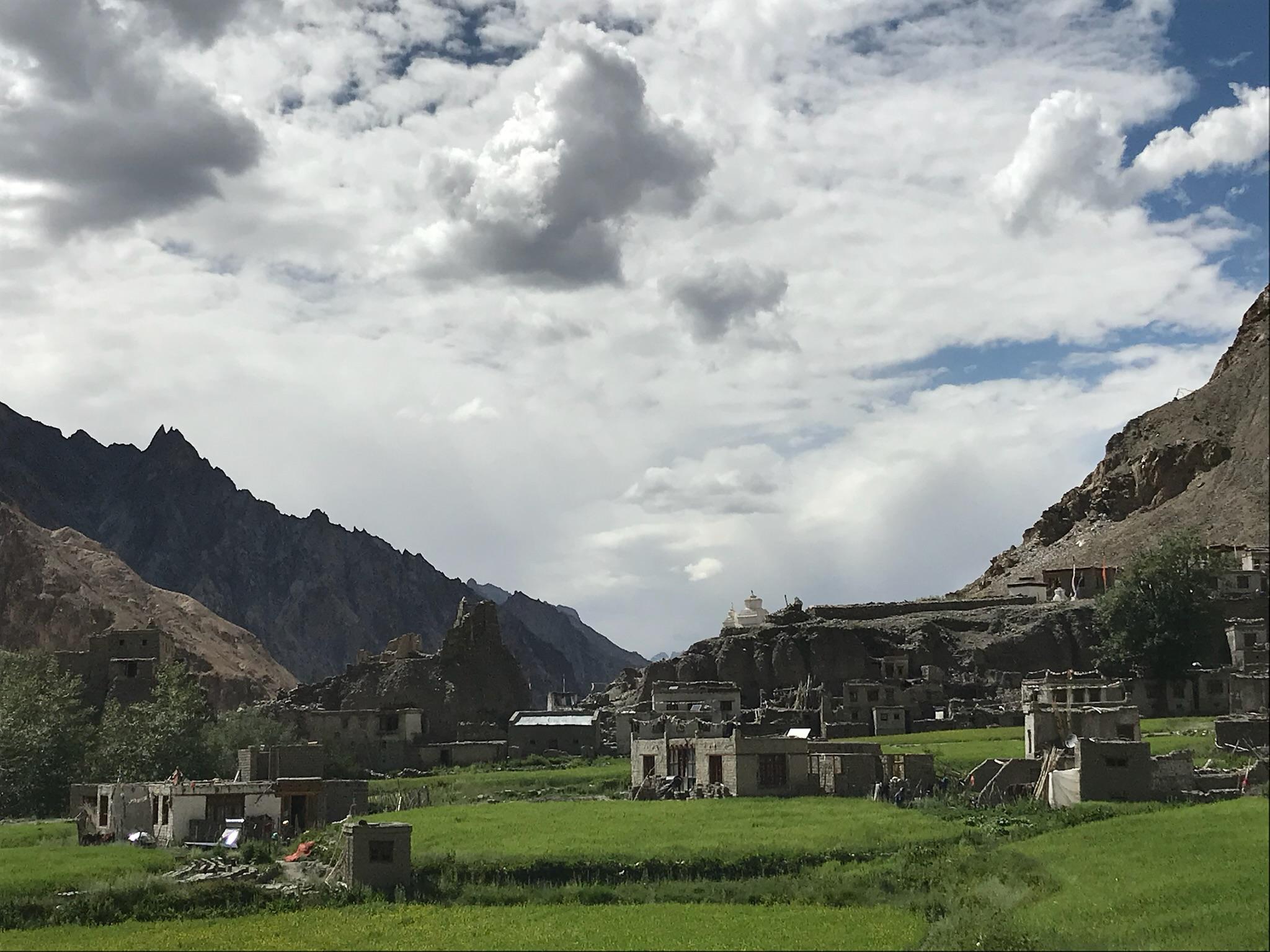
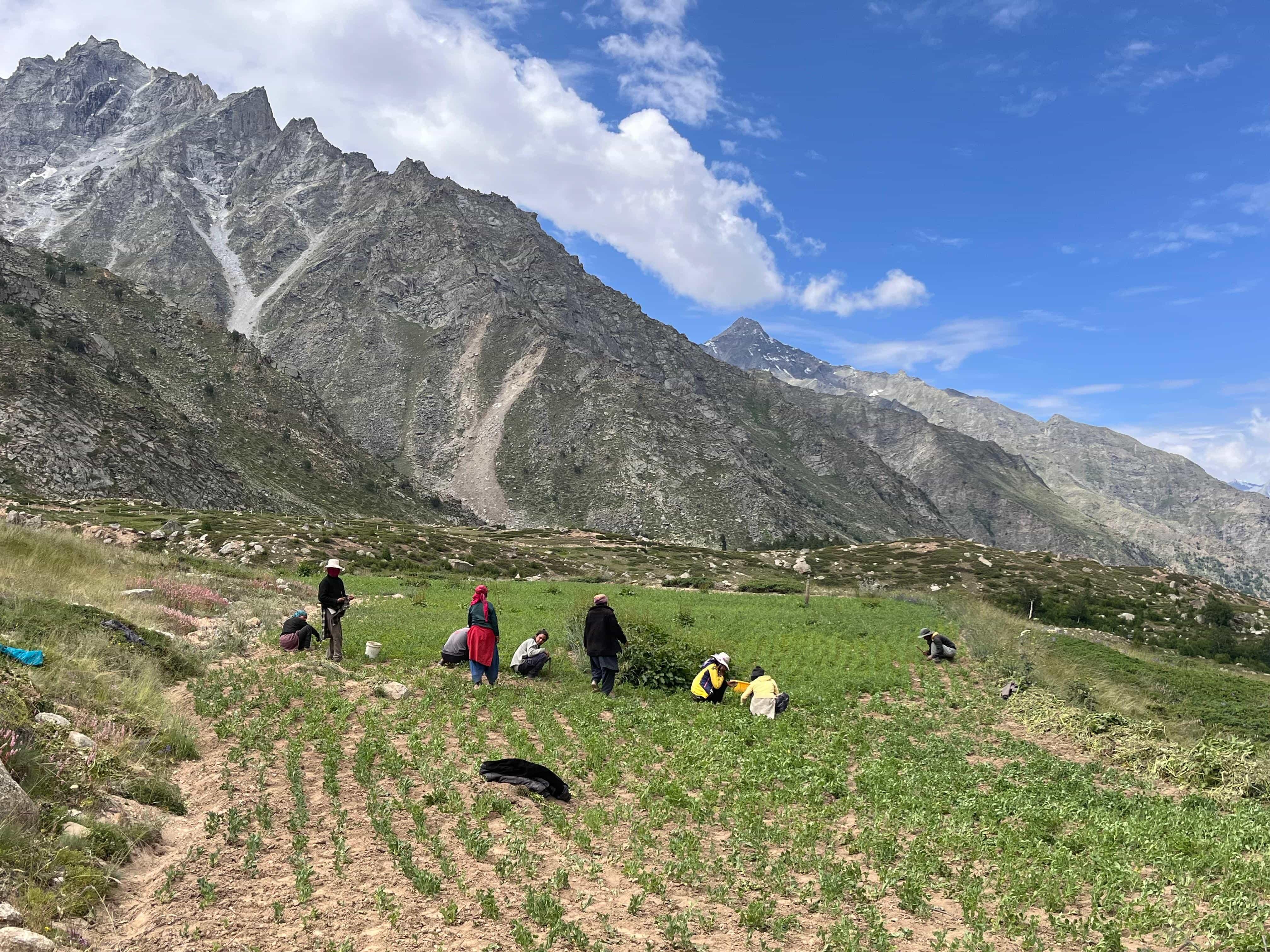
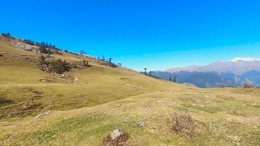
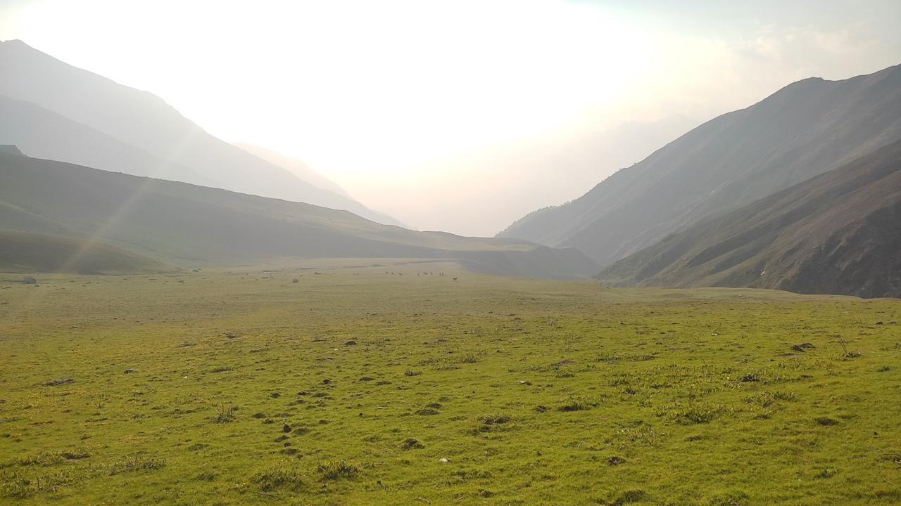
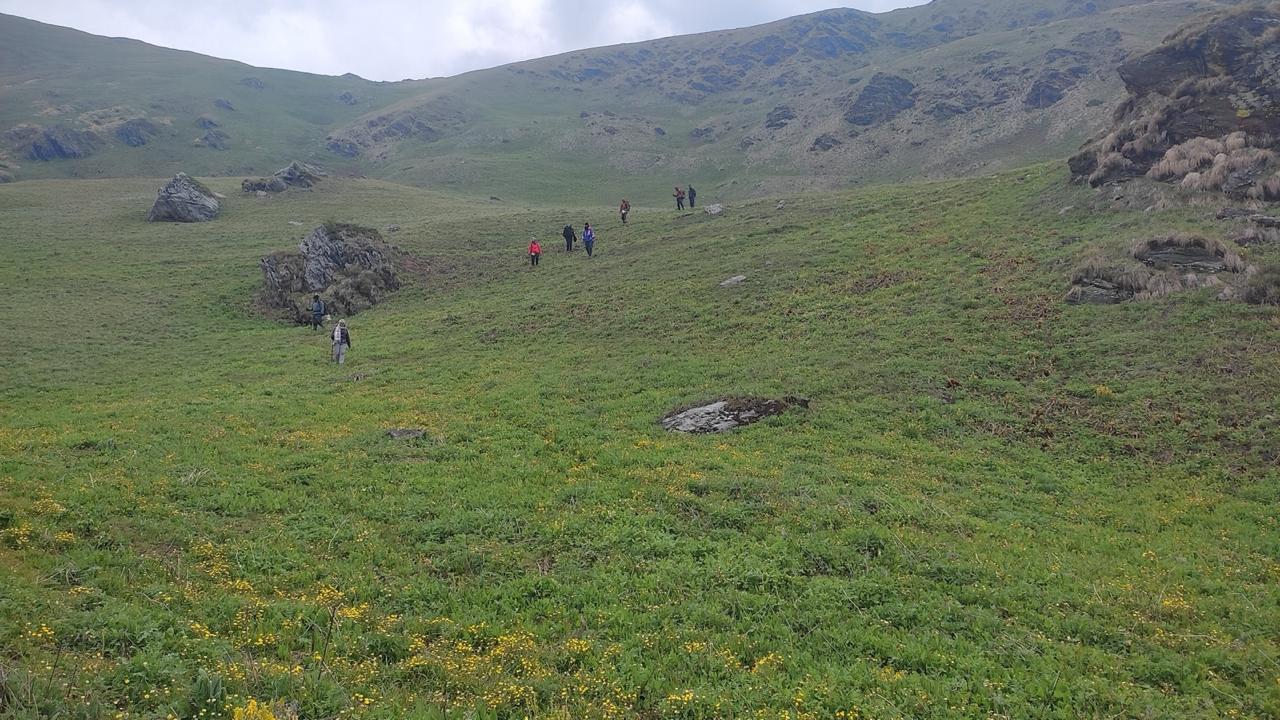
The trail climbs gently out of Reeh through forest and past Gangi, a remote village known for its strong, largely unbroken cultural traditions worth slowing down for. The final stretch into Kalyani, an open plateau used for grazing, is steeper and more sustained than the morning's walking.
Day 3
Kalyani to Kharsoli
Distance: 13 km
Time: 6–7 hrs
Elevation Gain: 600 m
An early section of loose, landslide-prone ground calls for careful footing. Beyond that, the trail eases into a more gradual climb toward Kharsoli, identifiable by the nallah that meets the Bhilangna here. Camp is set beside the river, with the day's effort behind you.
Day 4
Kharsoli to Chowki
Distance: 12 km
Time: 6-7 hrs
Elevation Gain: 500 m
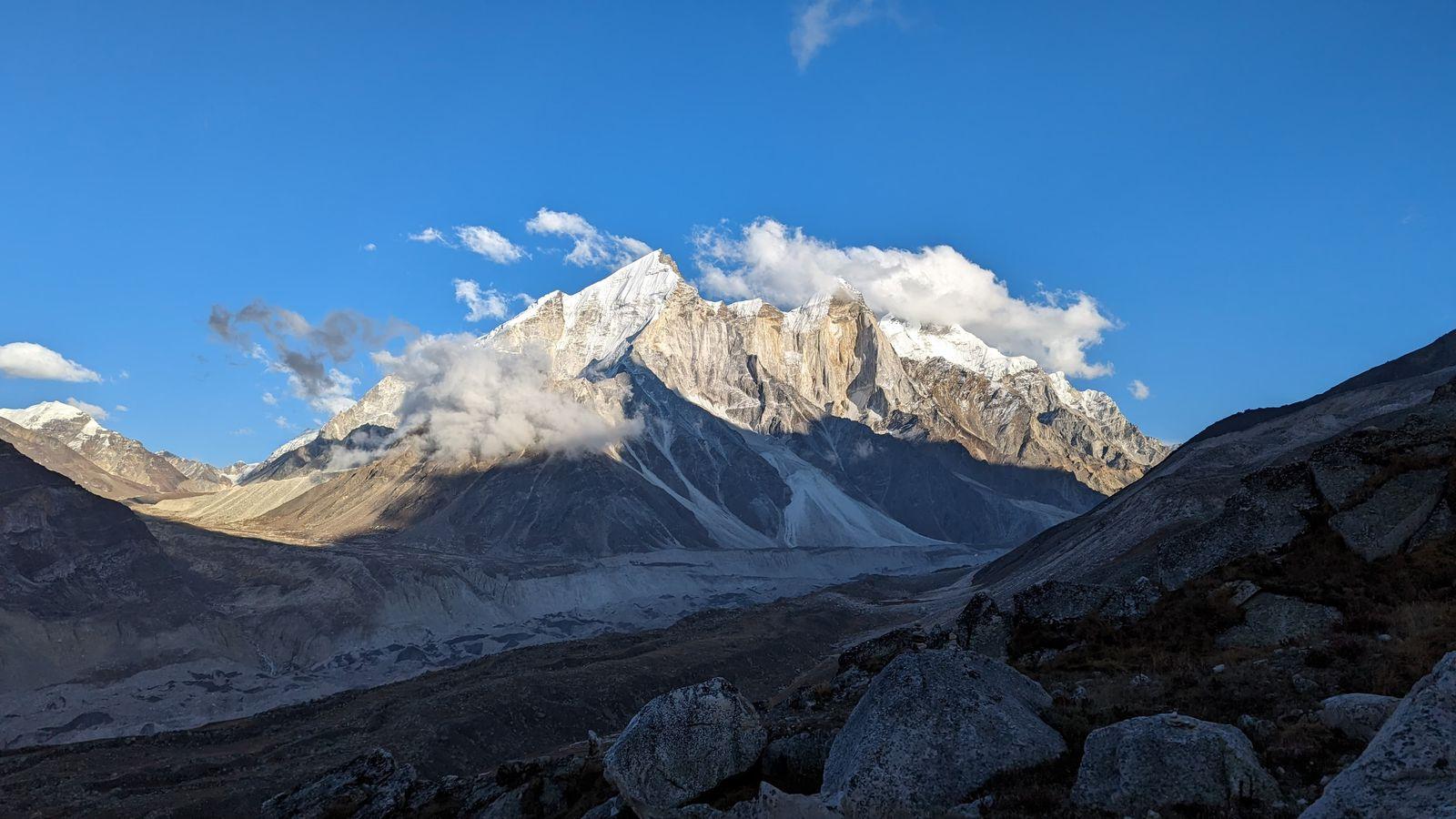
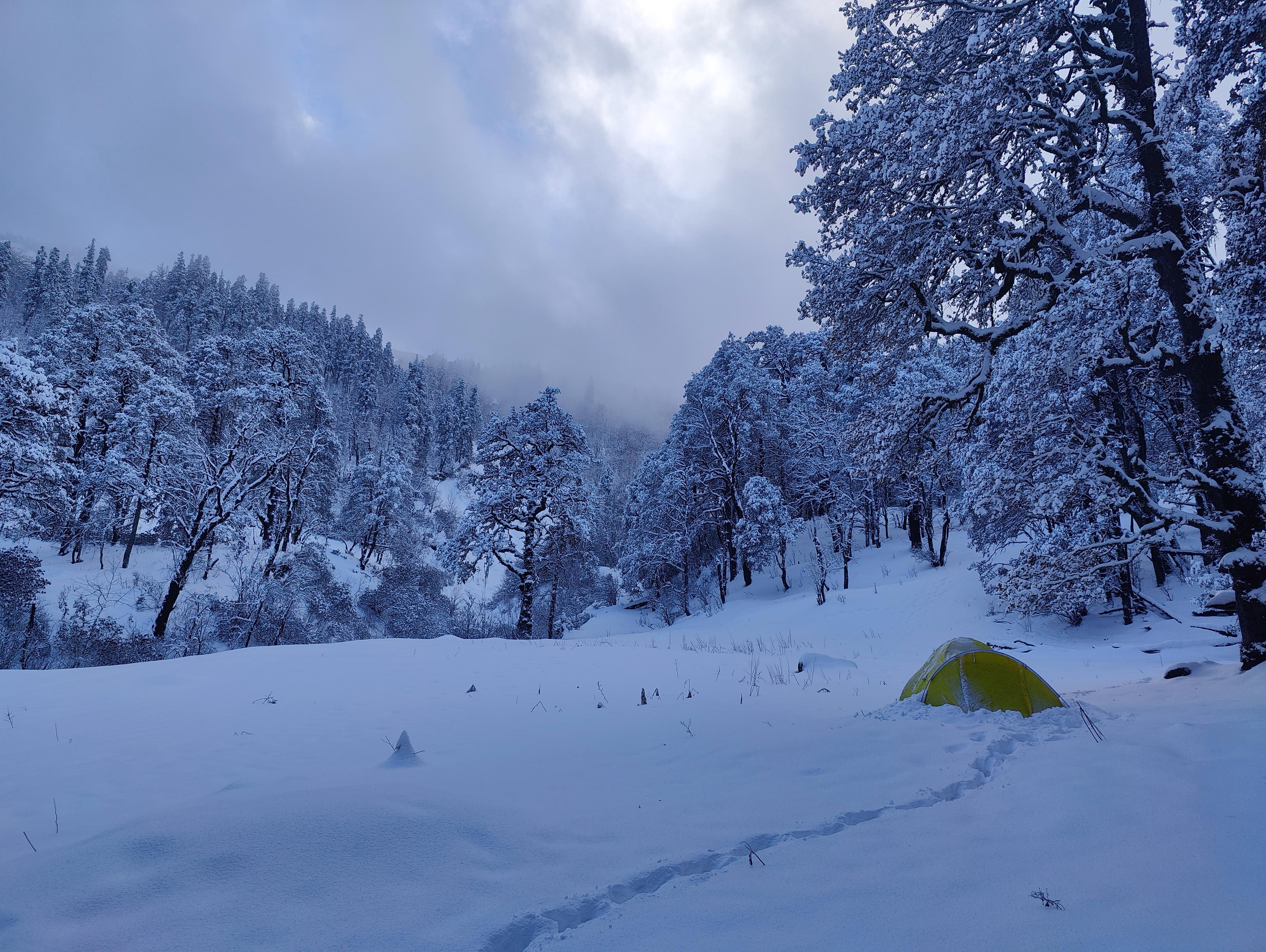
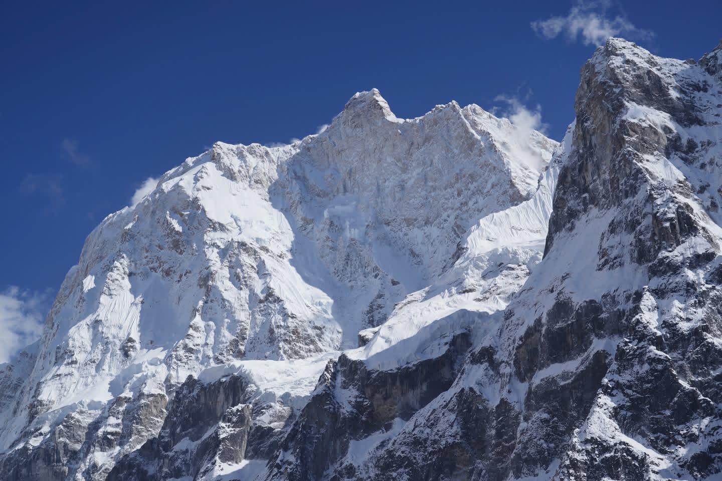
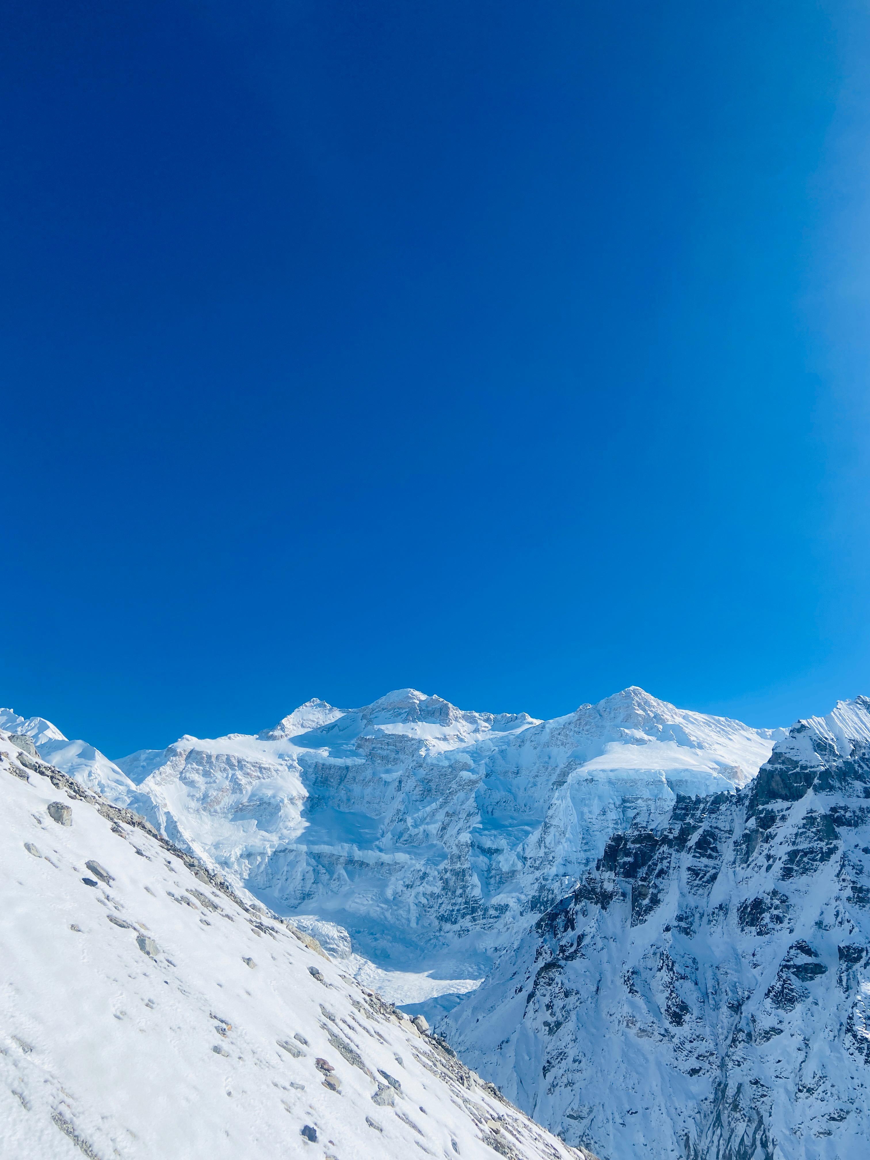
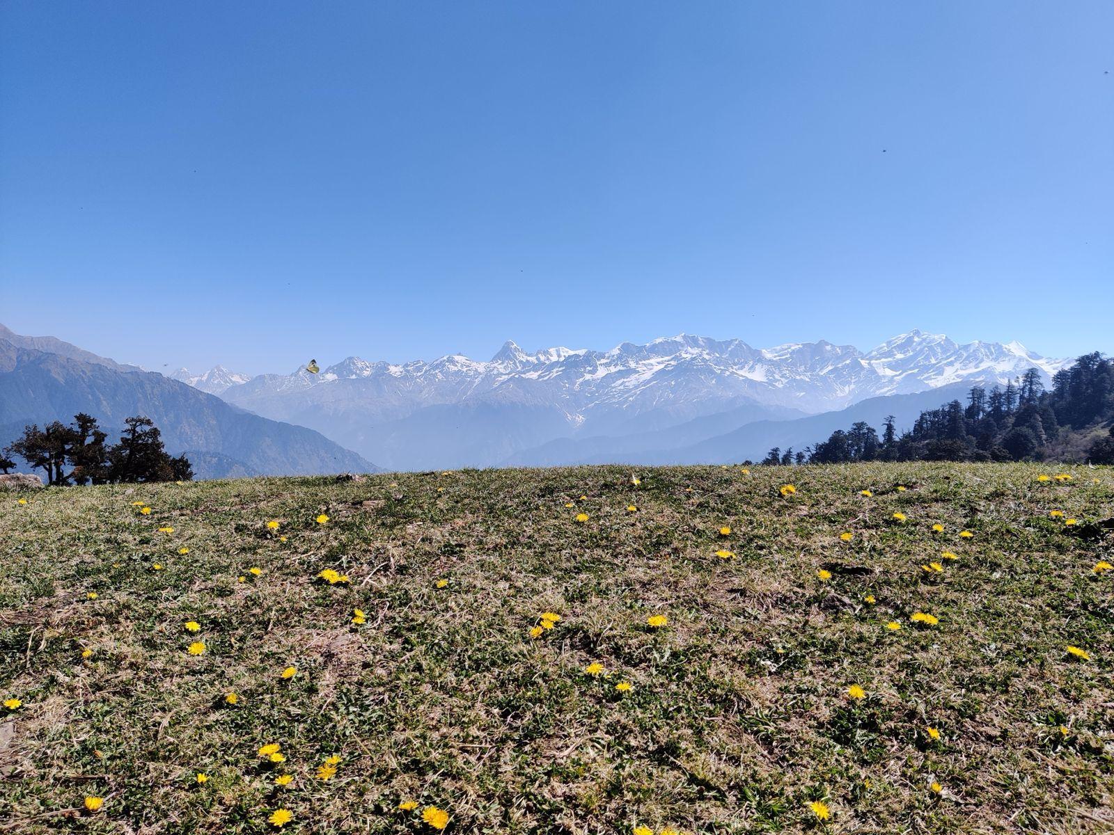
The trail continues to climb, and the terrain begins to open up. Chowki sits in a green meadow ringed by snow-clad peaks, camp pitched beside the Doodh Ganga river with the Khatling Glacier visible in the distance, the first real sign of the high mountain terrain ahead.
Day 5
Rest at Chowki
An acclimatization day, built in deliberately before the altitude gain of the days ahead. Chowki sits close to 4,000 m, and the extra day here matters more than it might seem. Many groups use the time to walk up toward the Khatling Glacier and back, others simply rest, dry gear, and let their bodies catch up.
Day 6
Chowki to Masar Tal
Distance: 8 km
Time: 5-6 hrs
Elevation Gain: 560 m
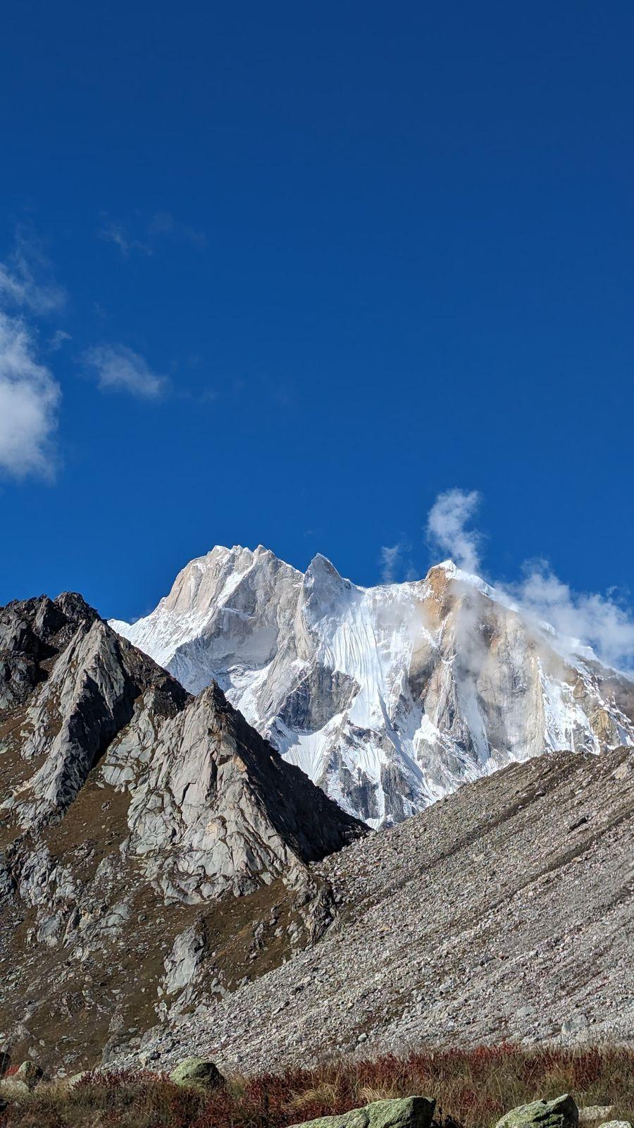
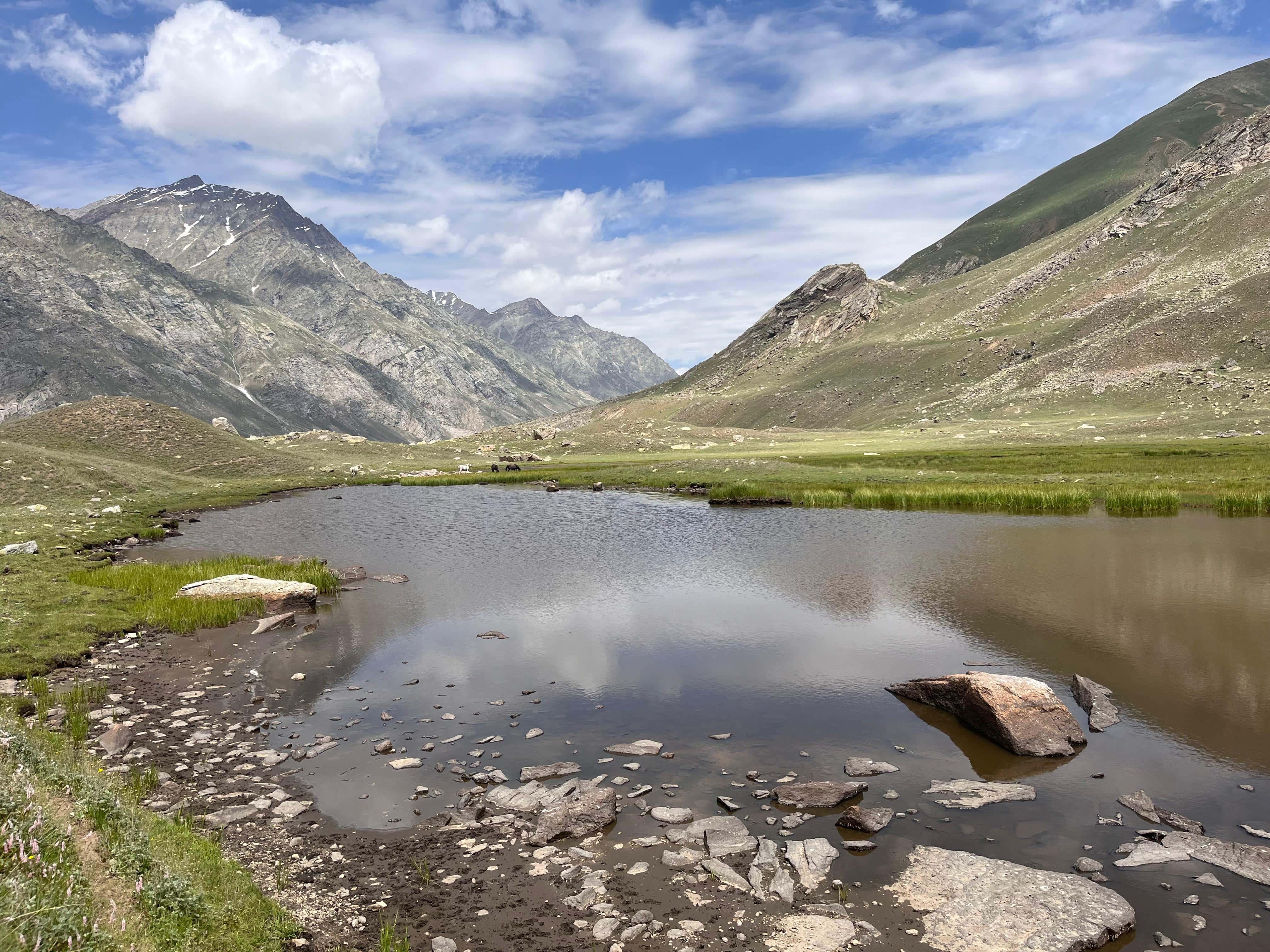
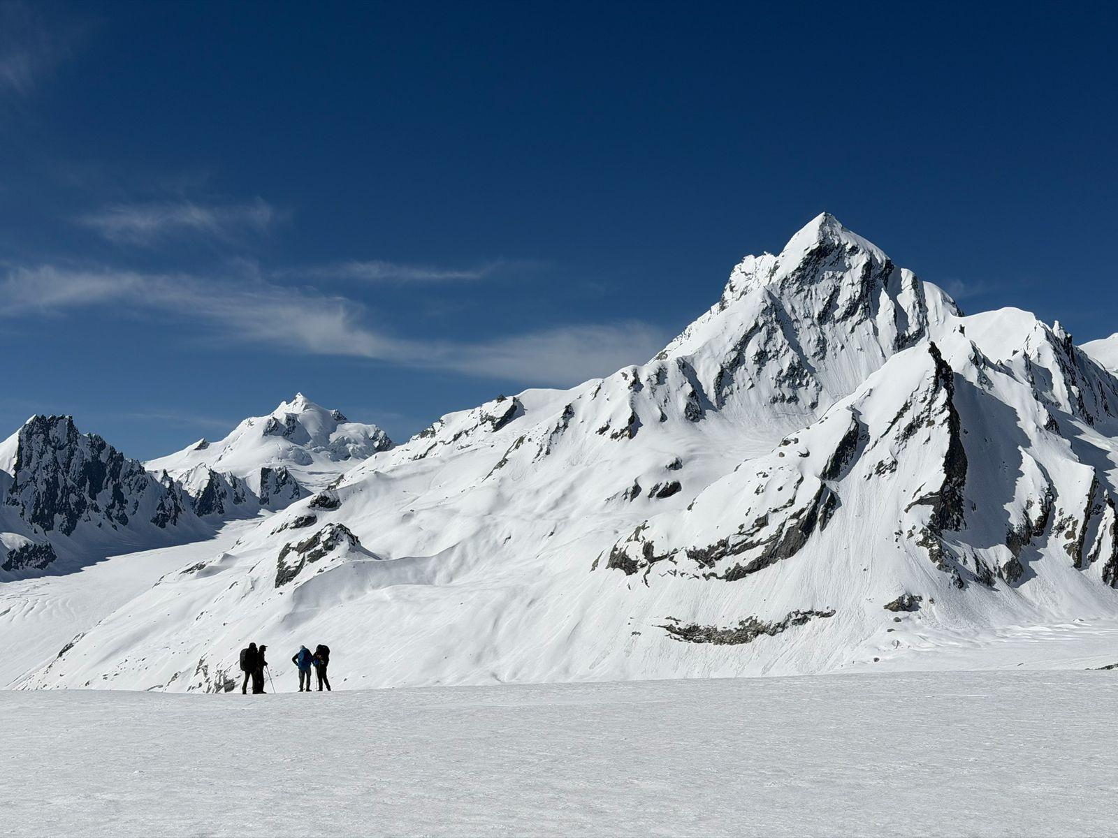
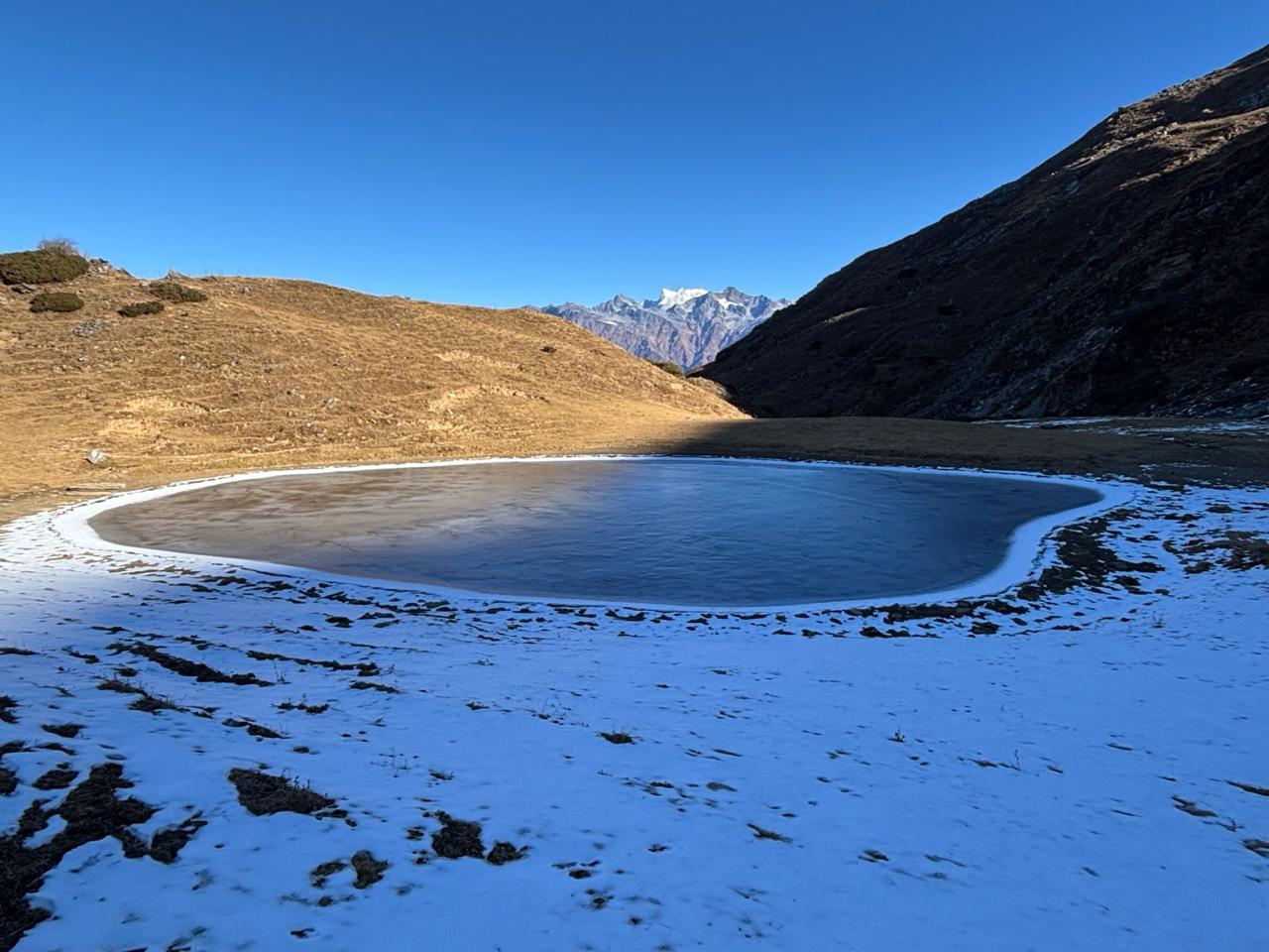
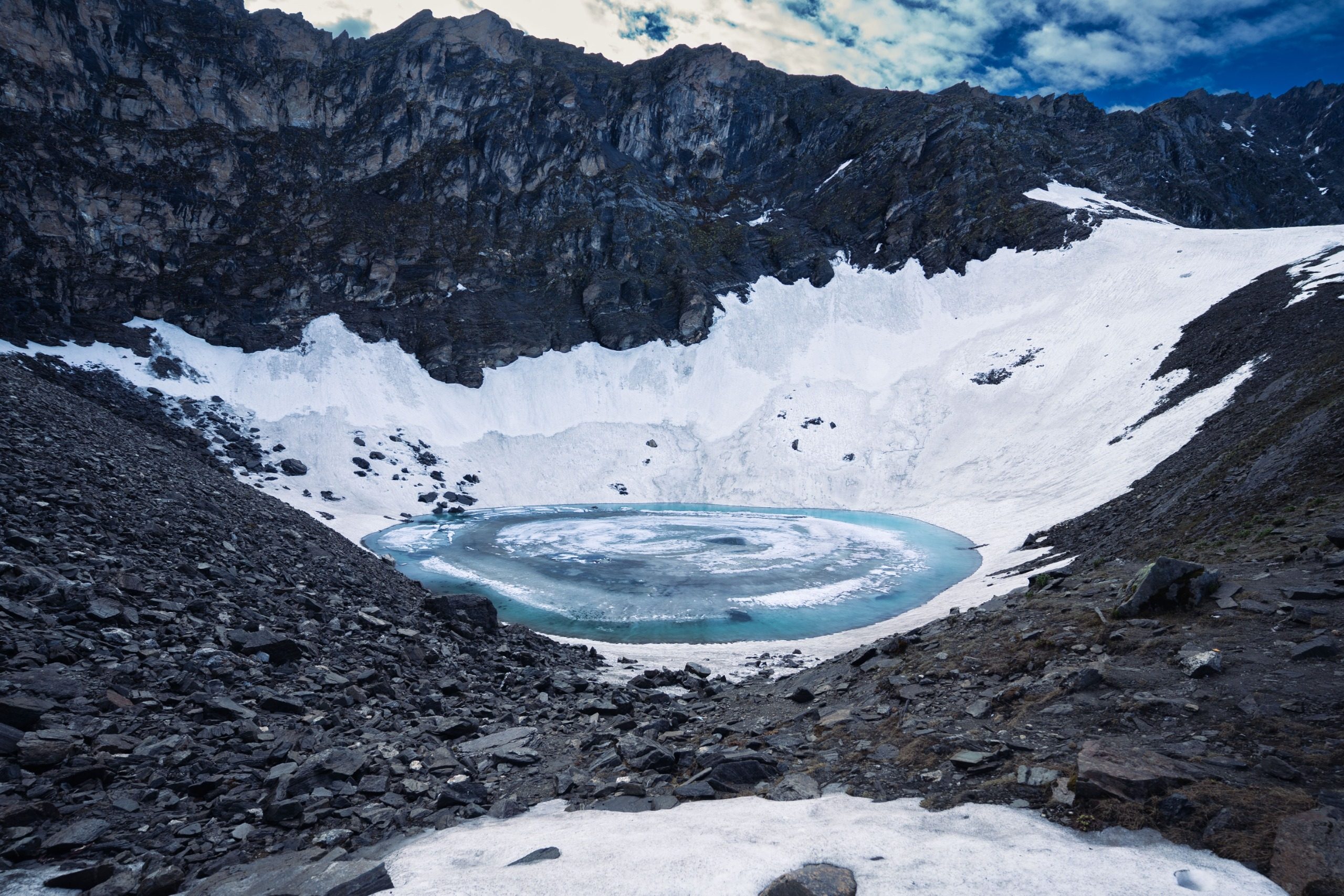
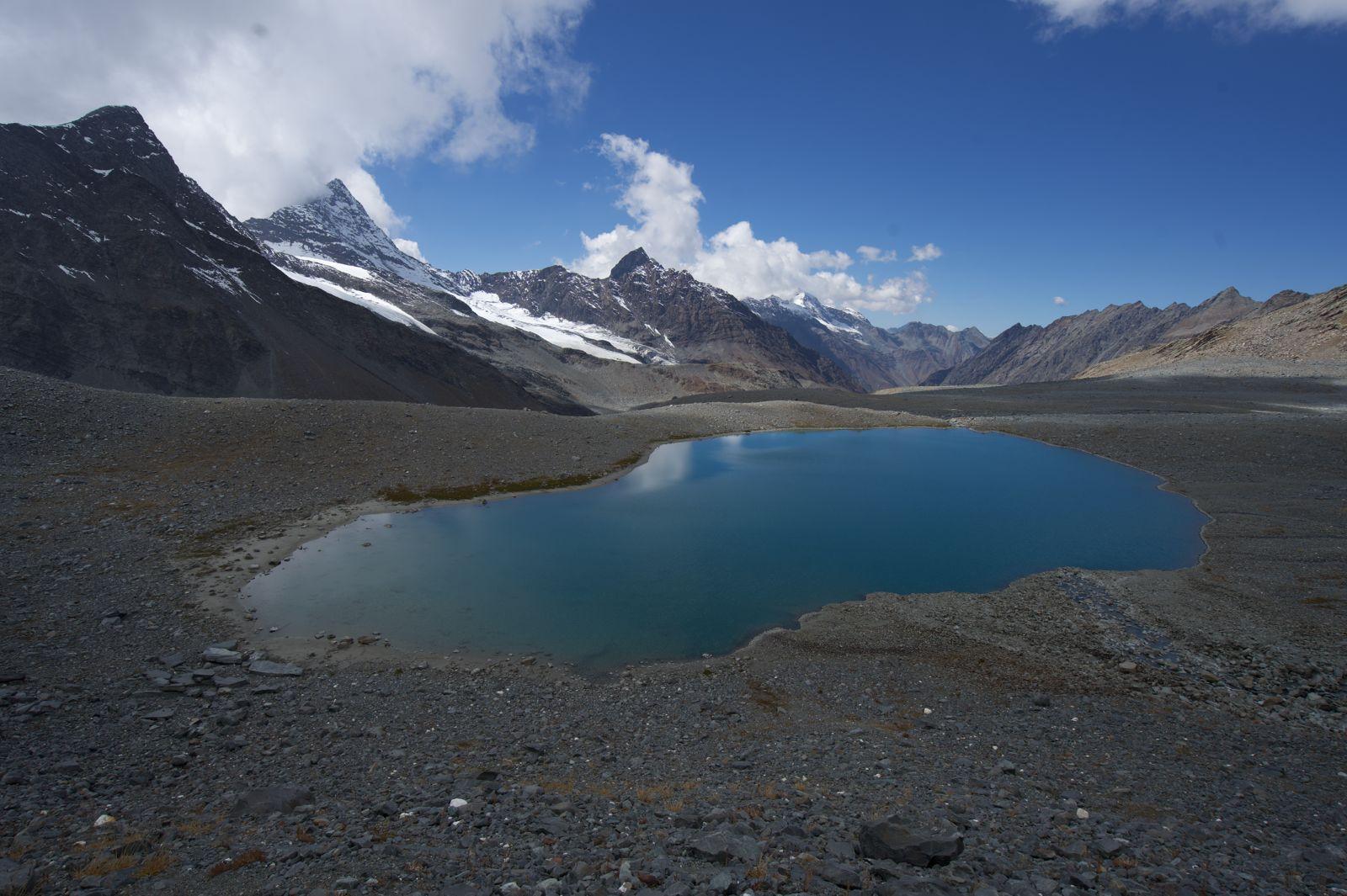
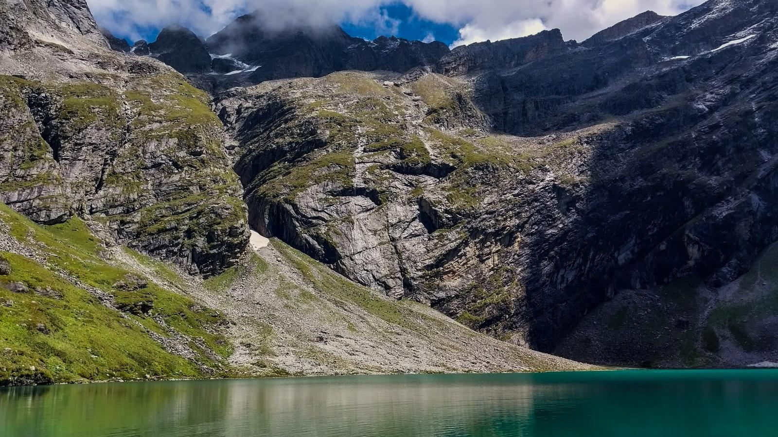
A steep initial climb opens up views of Thalay Sagar as the trail crosses a ridge above the valley. The path is well defined from here to Masar Tal, a glacial lake that sits quietly at close to 14,960 ft, camp is pitched right beside it.
Day 7
Masar Tal to Vasuki Tal via Mayali Pass
Distance: 12 km
Time: 9-11 hrs
Elevation Gain: 600 m
Elevation Loss: 750 m
The defining day of the expedition.
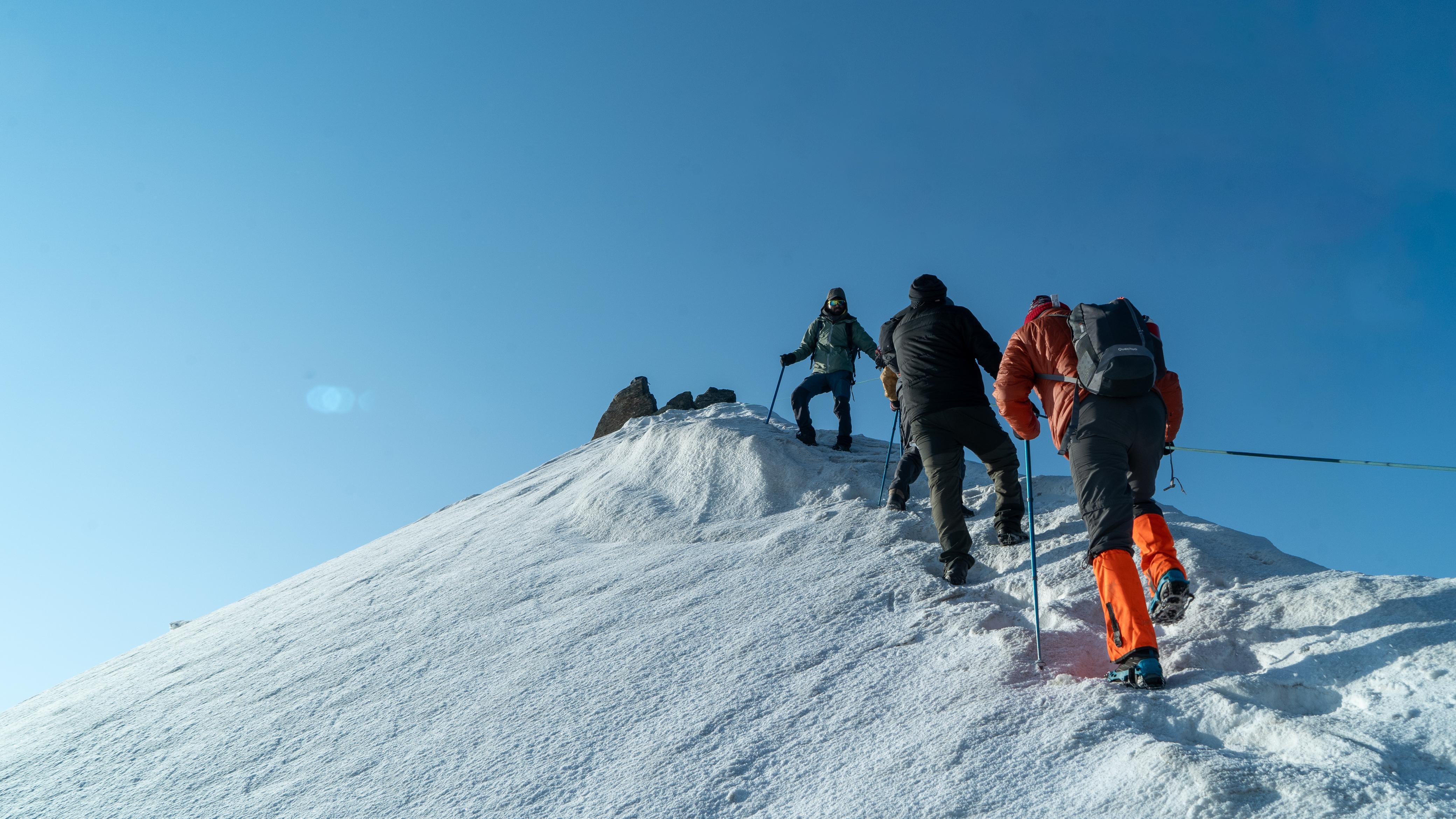
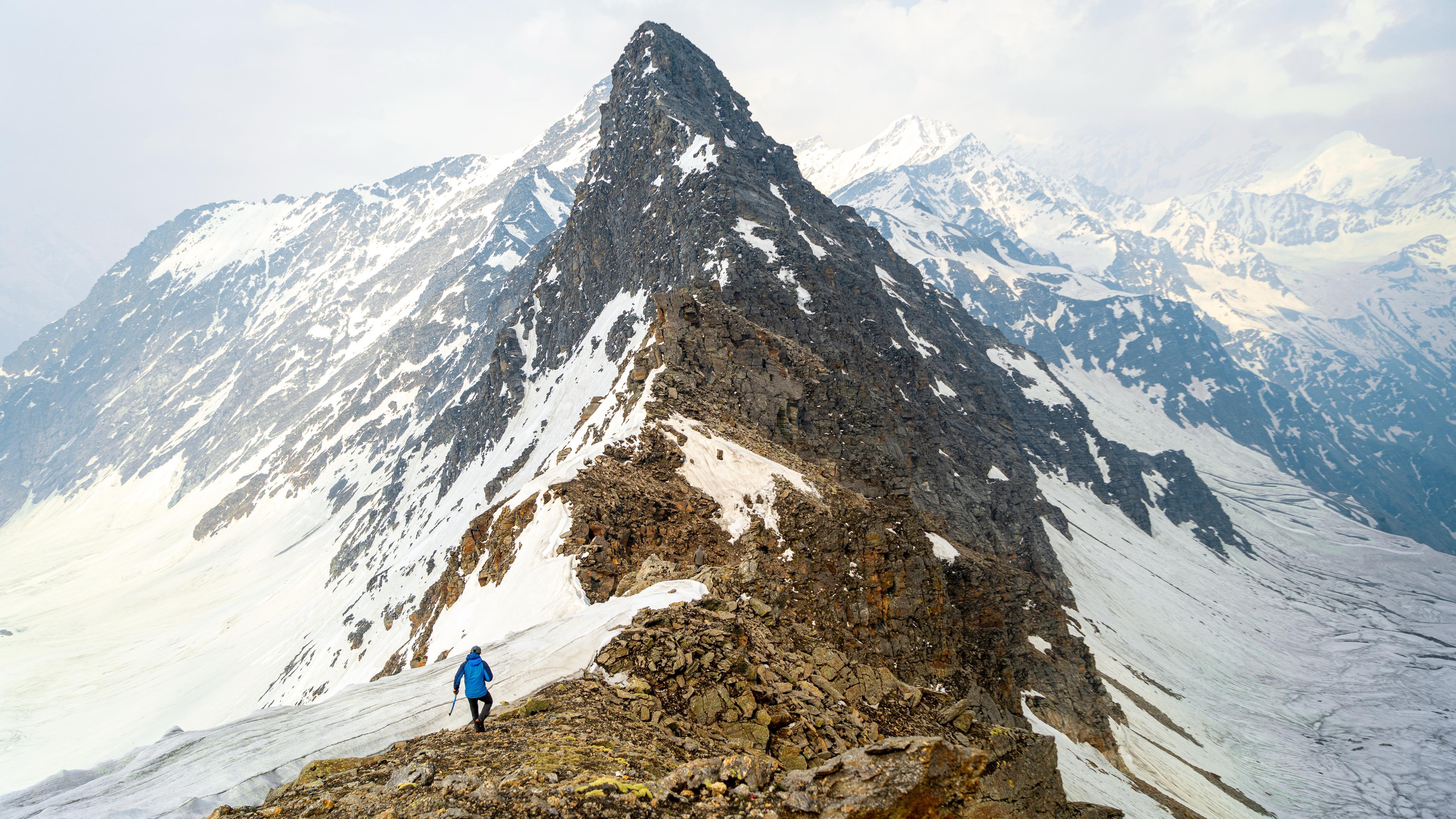
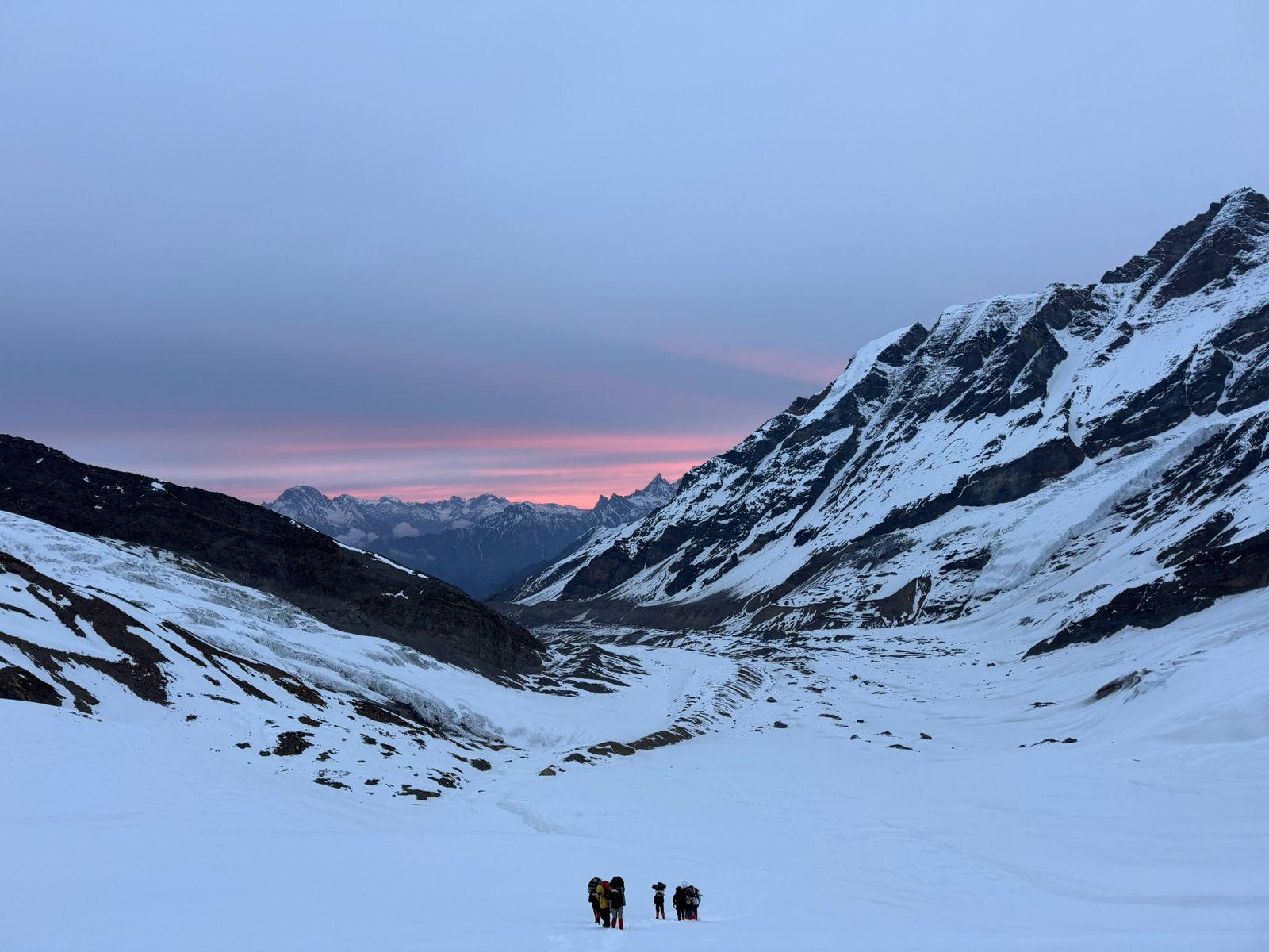
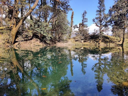
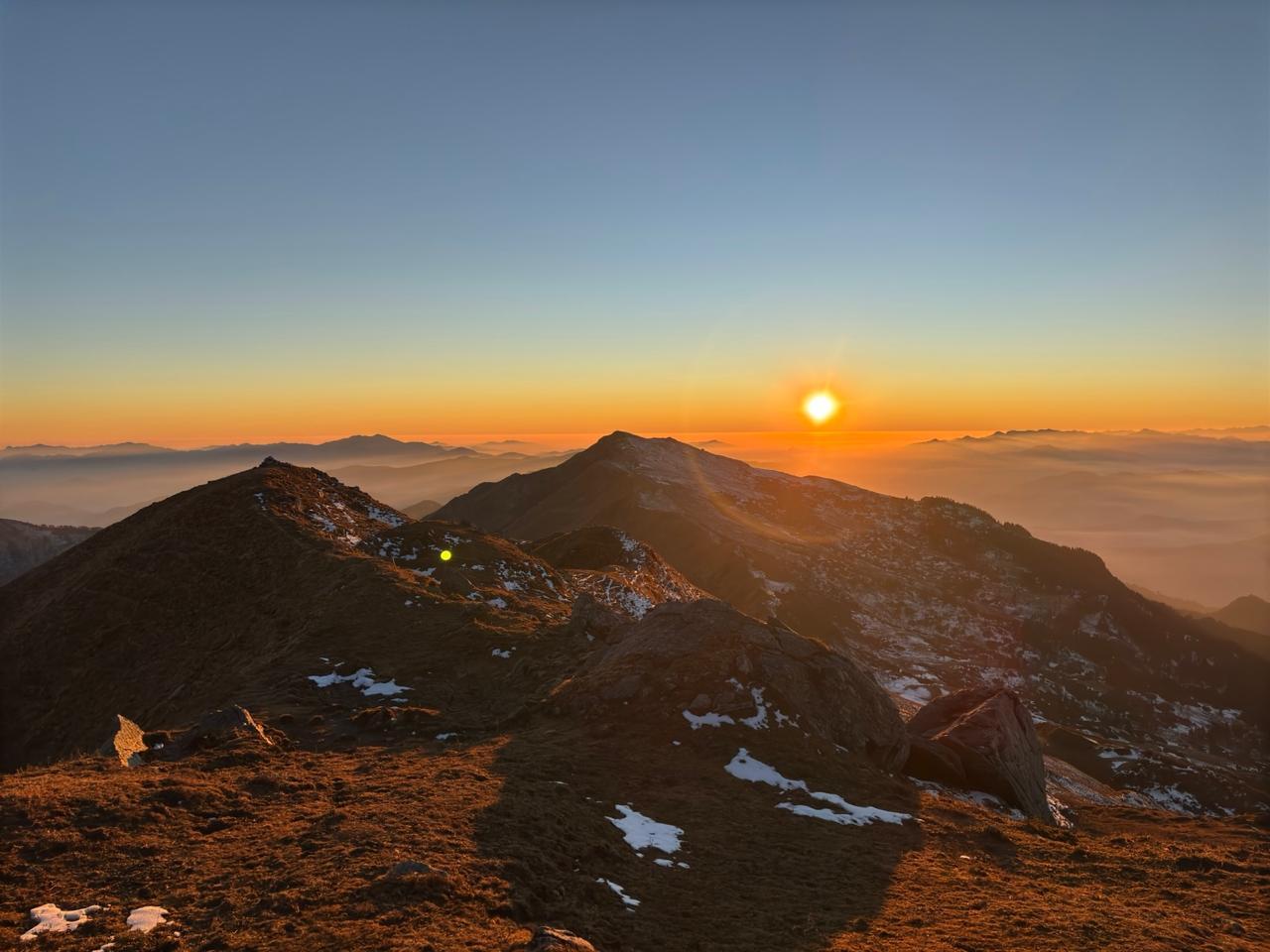
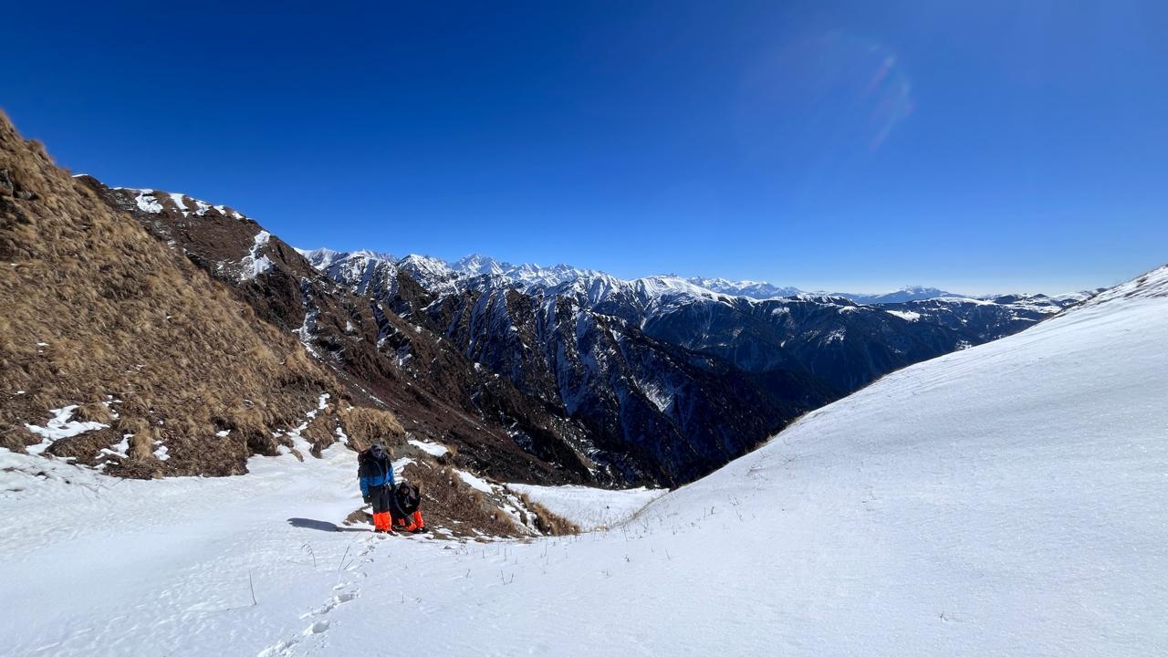
The climb begins over boulders on a steep ridge to Masar Top, eases briefly, then rises again over glacier to the top of Mayali Pass (17,388 ft). The descent on the far side is steep and technical, comparable to the Khatling-side descent off Auden's Col, and typically requires fixed rope and short rappels. The trail continues down all the way to Vasuki Tal, a striking glacial lake set beneath the Kedarnath peaks. Long, demanding, and easily the most memorable day on the route.
Day 8
Vasuki Tal to Kedarnath
Distance: 7 km
Time: 3-4 hrs
Elevation Loss: 800 m
A shorter day, and a quiet one. The trail brings you down from wilderness into pilgrimage. Kedarnath, one of the twelve Jyotirling, comes into view as the isolation of the past week gives way to the presence of other people again. Most teams visit the temple in the evening.
Day 9
Kedarnath to Gaurikund. Drive to Rishikesh
Distance: 16 km trek ; 200 km drive
Time: 5-6 hrs trek ; 7–8 hrs drive
Elevation Loss: 1,600 m
The descent to Gaurikund follows the well-laid pilgrim trail. A straightforward final stretch after the terrain of the past week. From Gaurikund, the drive back to Rishikesh closes the loop on the expedition.
Day 10
Buffer Day
Built into the itinerary to absorb weather delays or slower progress on the pass crossing. If unused, it's a day to rest in Rishikesh before heading home
Minimum Fitness Required
Mayali Pass is not a trek to arrive at underprepared. The terrain, the altitude, and the technical descent off the pass all demand real physical readiness. Here's what we expect:
- You should comfortably walk 10–15 km with a loaded backpack (10–12 kg) during your training hikes.
- Maintain a weekly volume of 25–30 km on trails or stairs.
- Include strength training (legs, core, shoulders) and mobility workouts 3–4 times a week.
- Practice hill climbs, stair workouts, or interval runs to build uphill stamina.
- Stay mentally prepared for cold, long days, and a genuinely demanding pass crossing — discomfort is part of the experience here.
Previous Trekking Experience
Participants must have completed:
- At least one trek above 4,500–5,000 m within the last two years
- Prior experience of carrying a backpack for multiple consecutive days
- Comfort operating in remote, self-supported mountain environments
Older experience carries less weight — recent mountain exposure is what matters.
Technical Terrain
Mayali Pass involves real technical terrain, particularly on the descent.
Participants should be comfortable with:
- Glacier travel
- Loose moraine and boulder fields
- Steep snow slopes
- Roped descents and short rappels
- Long, sustained days at altitude
Basic familiarity with an ice axe, crampons, and roped movement will make the pass crossing considerably more manageable.
Safety & Preparation
Safety begins well before departure. Participants receive fitness guidelines, gear consultation, packing support, and pre-expedition briefings to arrive physically and mentally ready for Mayali Pass.
On the trek, we maintain a 1:3 guide-to-participant ratio on the pass-crossing day and carry ropes, technical equipment, medical kits, oxygen support, and satellite communication devices. The team is supported by experienced local guides, kitchen staff, and porters.
Our approach is simple: monitor participants closely, make conservative decisions, and prioritize safety over objectives at every stage.
Inclusion
Exclusion
Is the Mayali Pass Trek suitable for beginners?
What is the difficulty level of the Mayali Pass Trek?
The challenge comes from a combination of:
High altitude above 5,000 metres
Long trekking days
Glacier travel
Loose moraine sections
Snow-covered slopes
Remote wilderness with no easy evacuation routes
Rapidly changing mountain weather
Unlike many popular Himalayan treks, Mayali Pass is an expedition-style crossing that demands endurance, sound judgement and previous mountain experience.
What makes the Mayali Pass Trek unique?
Highlights include:
Crossing a remote Himalayan pass above 5,300 metres
Glacier traverses
Masar Tal
Vasuki Tal
Remote alpine camps
Vast moraine landscapes
Continuous views of towering Garhwal peaks
Minimal crowds
A true wilderness experience
It is considered one of Uttarakhand's finest high-altitude traverses.
When is the best time to do the Mayali Pass Trek?
June
Snow still remains around the pass.
Glacier travel is more prominent.
Cooler temperatures.
September
Stable weather.
Clear mountain views.
Reduced snow cover.
Excellent photography conditions.
The trek is generally avoided during the peak monsoon months because of landslides, unstable terrain and swollen streams.
How fit should I be?
Participants should comfortably be able to:
Jog continuously for 90 minutes.
Climb 20–25 floors without excessive fatigue.
Carry a loaded backpack over long distances.
Trek for consecutive days without significant recovery time.
Strength, endurance and cardiovascular fitness are all equally important.
SELECT DATE TO REGISTER

Thank You!
Your form has been submitted successfully. We'll get back to you soon.
₹ 56,440 + 5% GST